Elevation of David, KY, USA
Location: United States > Kentucky > Floyd County >
Longitude: -82.890719
Latitude: 37.599541
Elevation: 217m / 712feet
Barometric Pressure: 99KPa
Elevation Map:
Satellite Map:
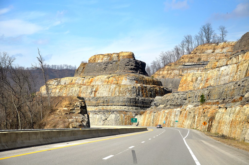
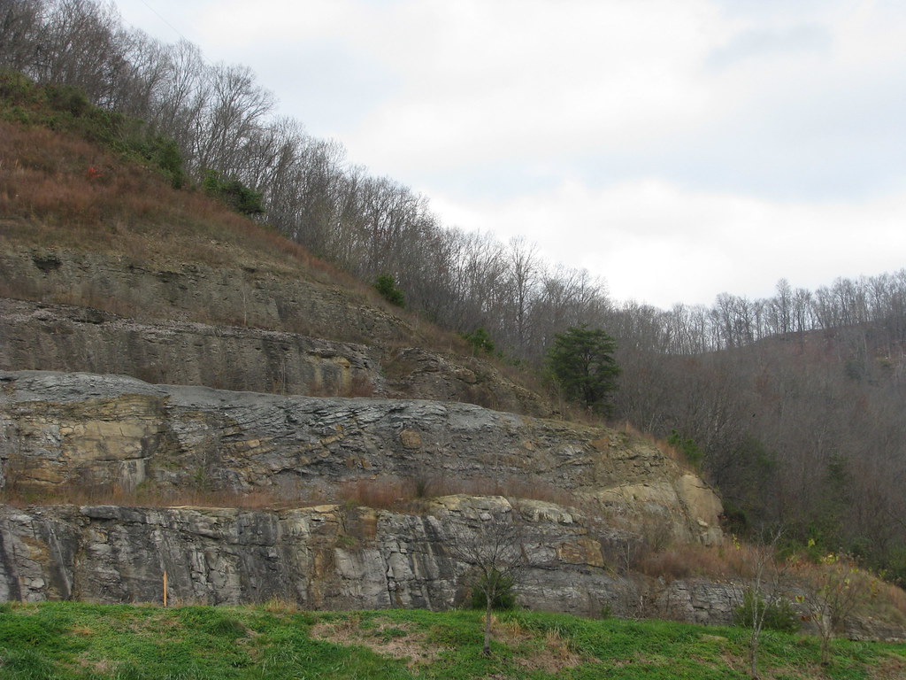
Related Photos:
Dawkins Line MP 15.0 - Gun Creek Tunnel - South Portal - DSC00953
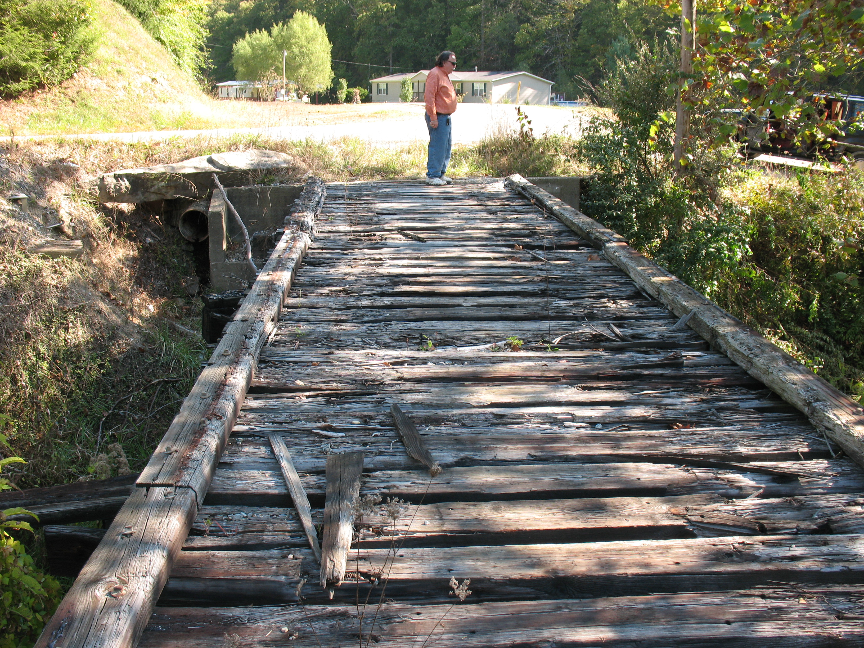
Dawkins Line MP 16.7 - Trestle Over Gun Creek - IMG_3953

Dawkins Line MP 15.0 - Gun Creek Tunnel - South Portal - IMG_4687
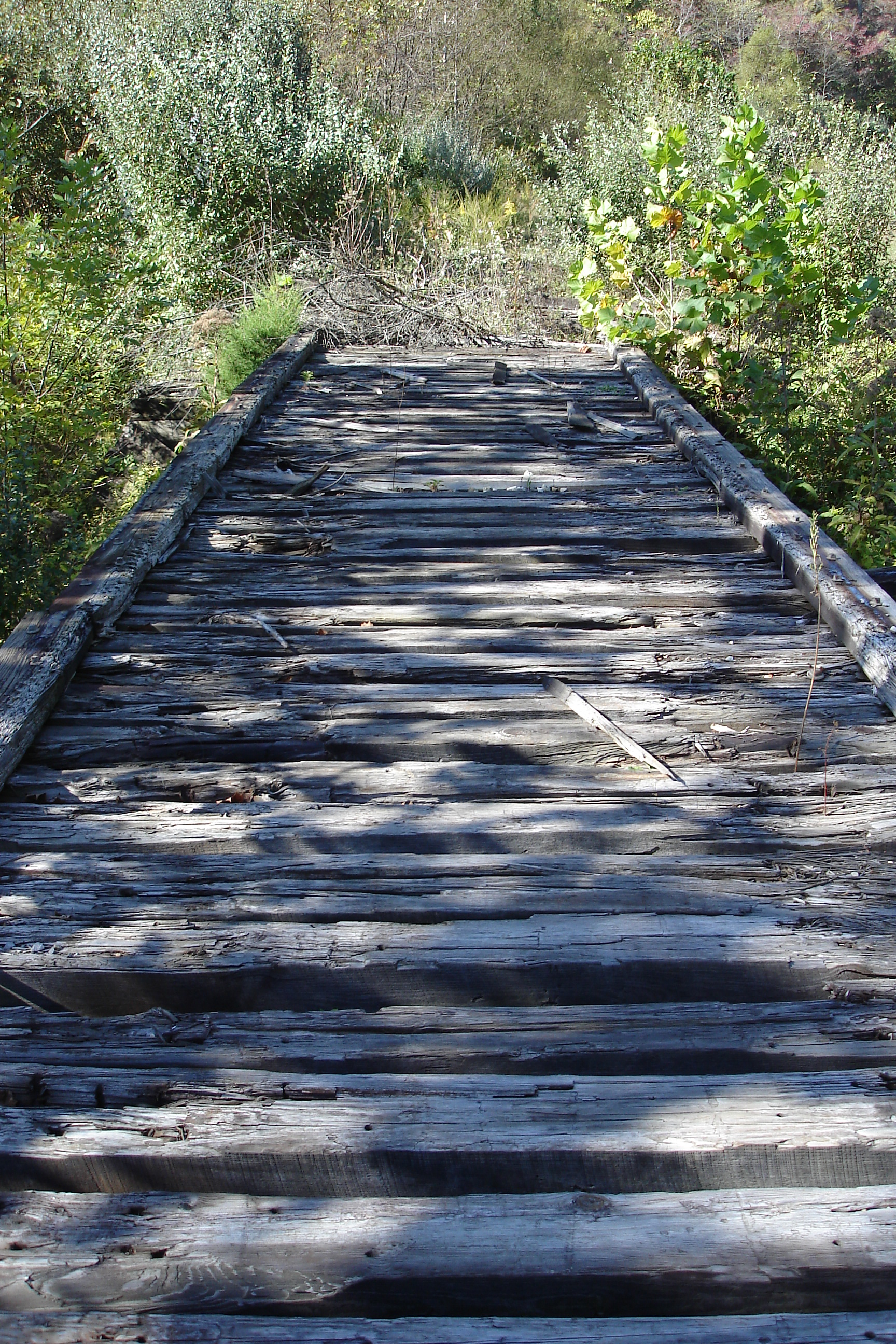
Dawkins Line MP 16.7 - Trestle Over Gun Creek - DSC00615
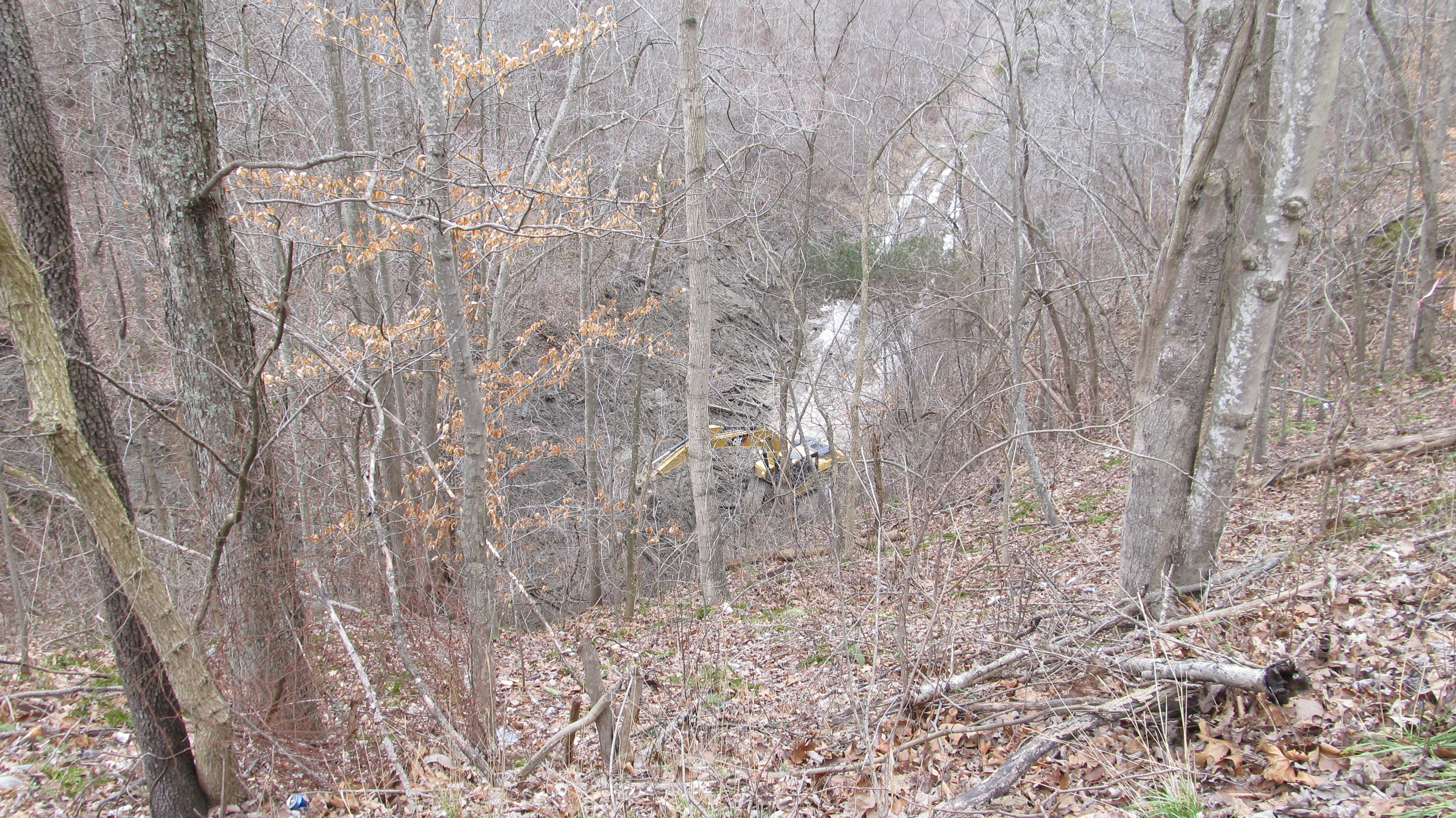
Dawkins Line MP 15.0 - Gun Creek Tunnel - South Portal - IMG_4690

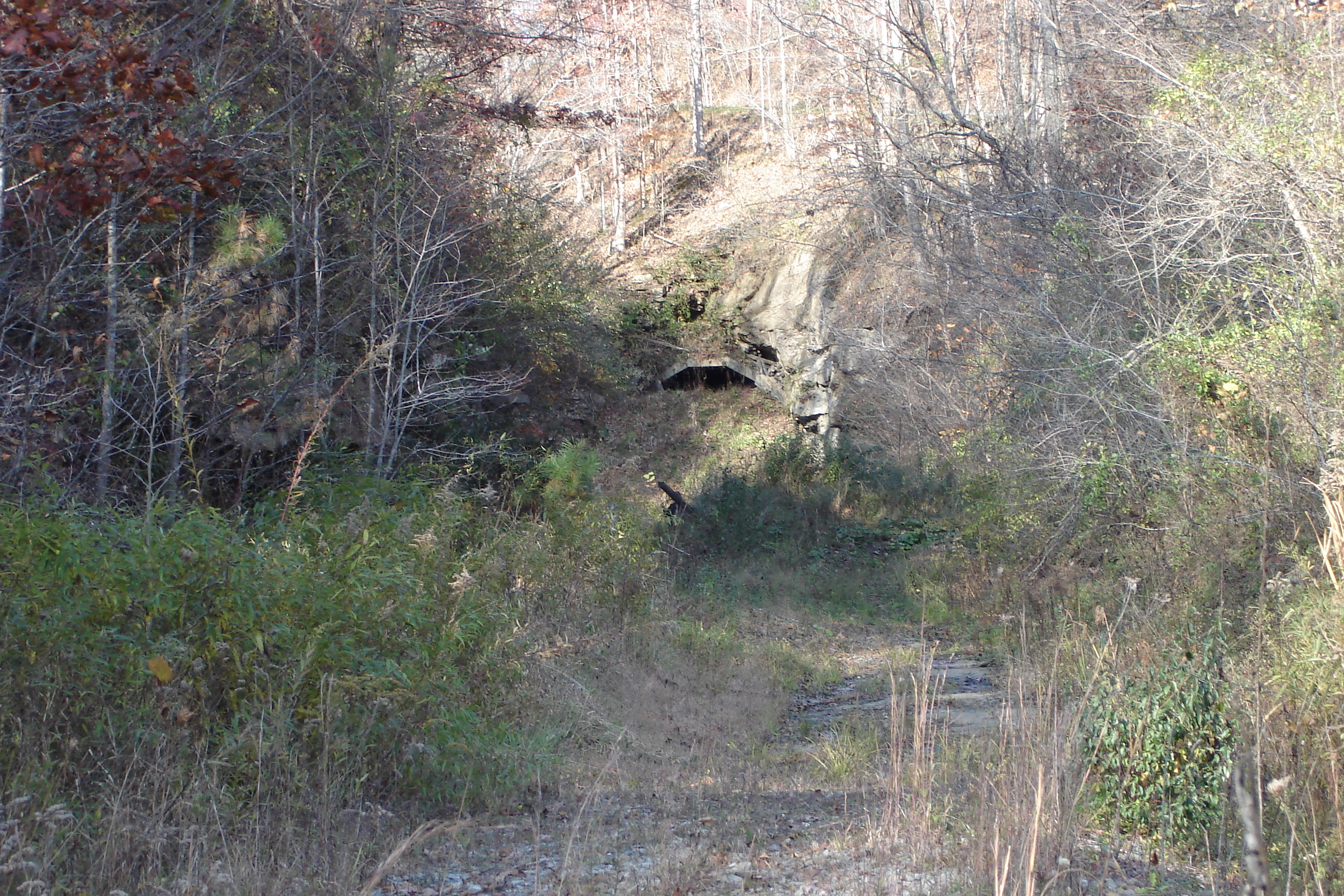
Dawkins Line MP 14.9 - Gun Creek Tunnel - North Portal - IMG_4685

Sunday Morning Coal Train
010-b
Battle of Middle Creek
Youthworks 2005 065
Youthworks 2005 066

Mountain Sunrise
Topographic Map of David, KY, USA
Find elevation by address:

Places in David, KY, USA:
Places near David, KY, USA:
State Hwy, David, KY, USA
KY-, David, KY, USA
164 Cloverfield Branch
Caney Fork Rd, Martin, KY, USA
Gunlock
SE Licking River Rd, Salyersville, KY, USA
Gunlock, KY, USA
Southern Camp Road
Hueysville
KY-, Eastern, KY, USA
Eastern
Floyd County
KY-, Hueysville, KY, USA
Dinwood Rd, Martin, KY, USA
Barkcamp Road
Martin
KY-, Martin, KY, USA
KY-7, Wayland, KY, USA
KY-, Allen City, KY, USA
KY-, Printer, KY, USA
Recent Searches:
- Elevation of Dog Leg Dr, Minden, NV, USA
- Elevation of Dog Leg Dr, Minden, NV, USA
- Elevation of Kambingan Sa Pansol Atbp., Purok 7 Pansol, Candaba, Pampanga, Philippines
- Elevation of Pinewood Dr, New Bern, NC, USA
- Elevation of Mountain View, CA, USA
- Elevation of Foligno, Province of Perugia, Italy
- Elevation of Blauwestad, Netherlands
- Elevation of Bella Terra Blvd, Estero, FL, USA
- Elevation of Estates Loop, Priest River, ID, USA
- Elevation of Woodland Oak Pl, Thousand Oaks, CA, USA