Elevation of KY-, Hueysville, KY, USA
Location: United States > Kentucky > Hueysville >
Longitude: -82.906474
Latitude: 37.4713887
Elevation: 248m / 814feet
Barometric Pressure: 98KPa
Elevation Map:
Satellite Map:
Related Photos:
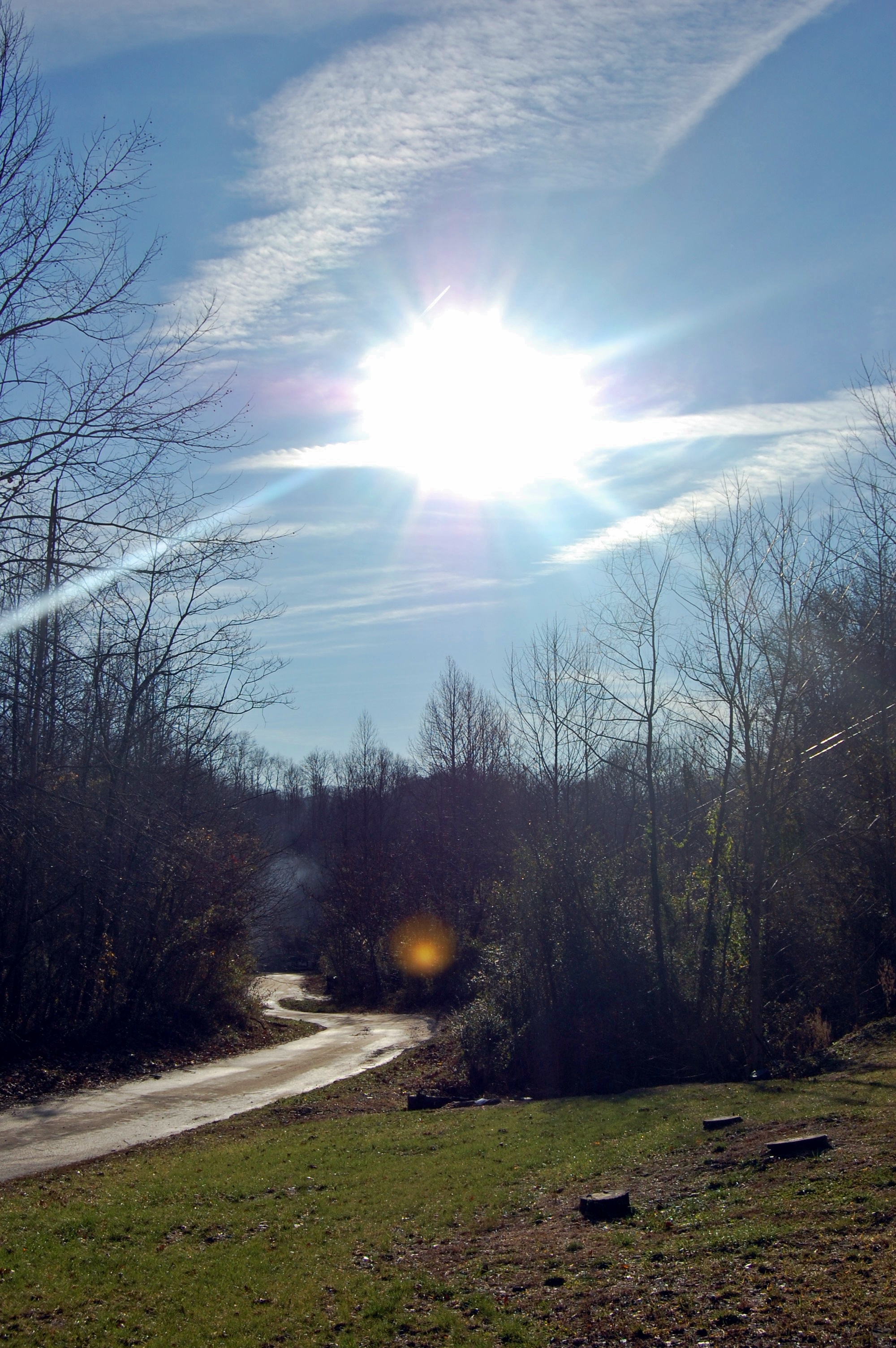
kentucky.

IMG_4281


IMG_4276

IMG_4290

IMG_4292


IMG_0023
Topographic Map of KY-, Hueysville, KY, USA
Find elevation by address:

Places near KY-, Hueysville, KY, USA:
Barkcamp Road
Hueysville
Southern Camp Road
SE Licking River Rd, Salyersville, KY, USA
Gunlock
KY-7, Wayland, KY, USA
Gunlock, KY, USA
KY-7, Wayland, KY, USA
KY-, David, KY, USA
Wayland
KY-, Eastern, KY, USA
Eastern
David
Caney Fork Rd, Martin, KY, USA
164 Cloverfield Branch
State Hwy, David, KY, USA
Floyd County
KY-, Printer, KY, USA
Dinwood Rd, Martin, KY, USA
Printer
Recent Searches:
- Elevation of Doe Cir, Clinton, OH, USA
- Elevation of Narhe, Pune, Maharashtra, India
- Elevation of Martins Mill Ct, Eagle Rock, NC, USA
- Elevation of Kippen, Stirling FK8, UK
- Elevation of Sieveringer Straße, Sieveringer Str., Wien, Austria
- Elevation of Bratskaya Ulitsa, 24, Kurgan, Kurganskaya oblast', Russia
- Elevation of Paradisvegen, Biri, Norway
- Elevation of Crystal Cir, Birmingham, AL, USA
- Elevation of N Railroad Ave, West Palm Beach, FL, USA
- Elevation of 55 Cassick Valley Rd, Wellfleet, MA, USA