Elevation of Sonora, CA, USA
Location: United States > California > Tuolumne County >
Longitude: -120.38217
Latitude: 37.9829496
Elevation: 549m / 1801feet
Barometric Pressure: 95KPa
Elevation Map:
Satellite Map:
Related Photos:

Dreaming of Spring.
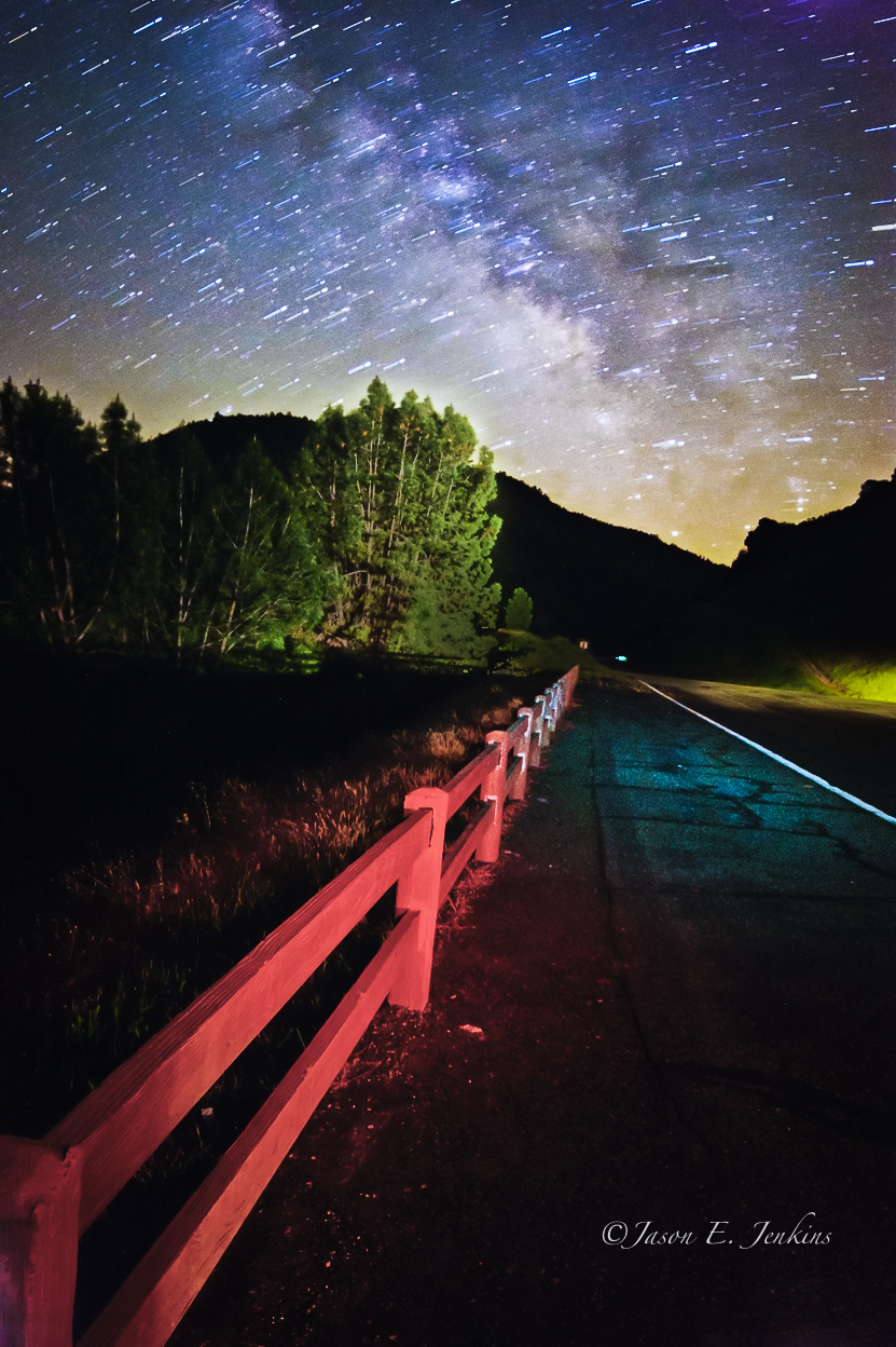
"Galactic Kaleidoscope"

Bontrager Livestrong race preparation
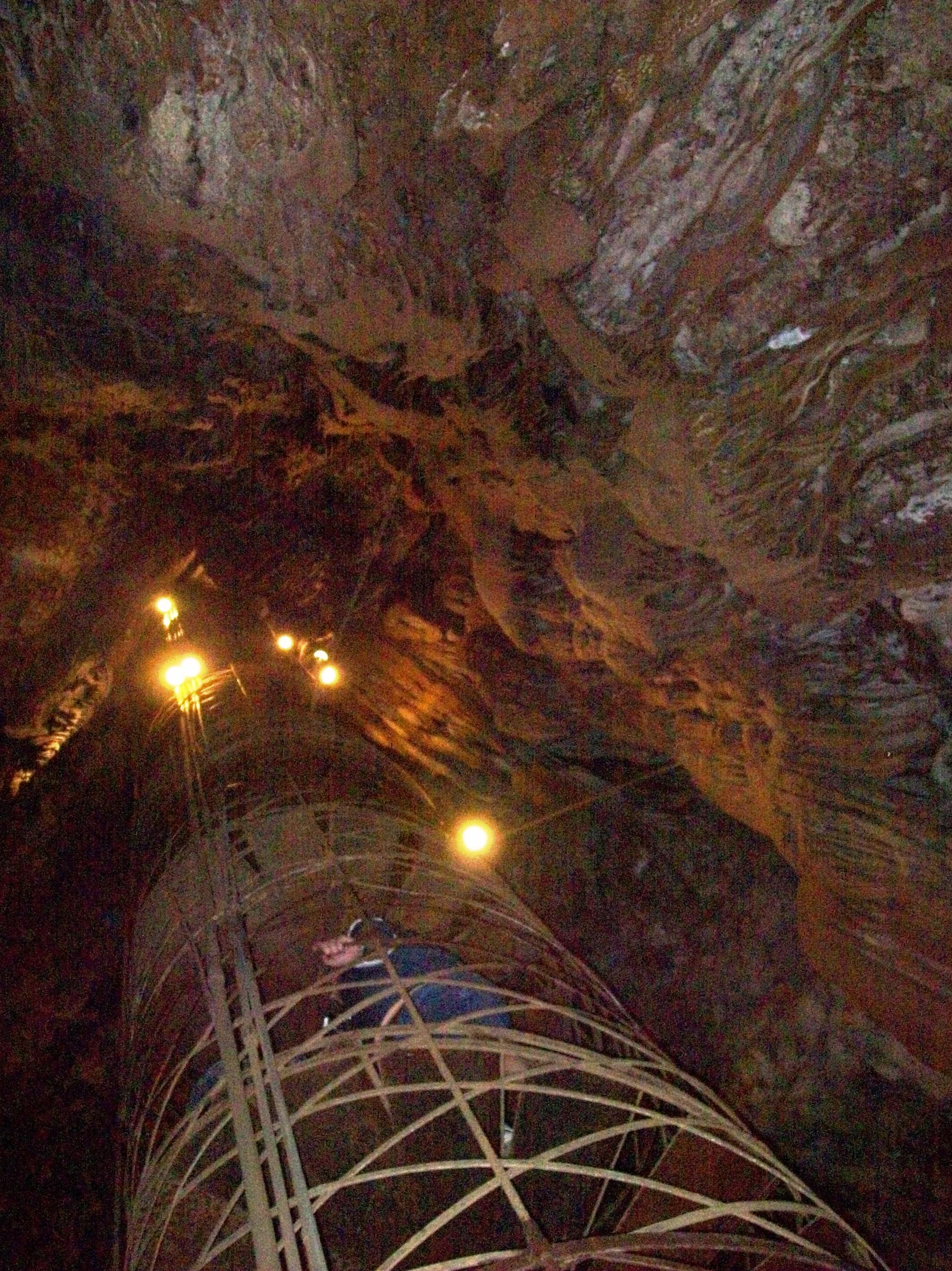
View up the spiral staircase leading to the bottom of Moaning Cavern, CA - moaning16

Best When Unexpected

The Poppies Have Arrived!
Trip to Yosemite 024

Room 112

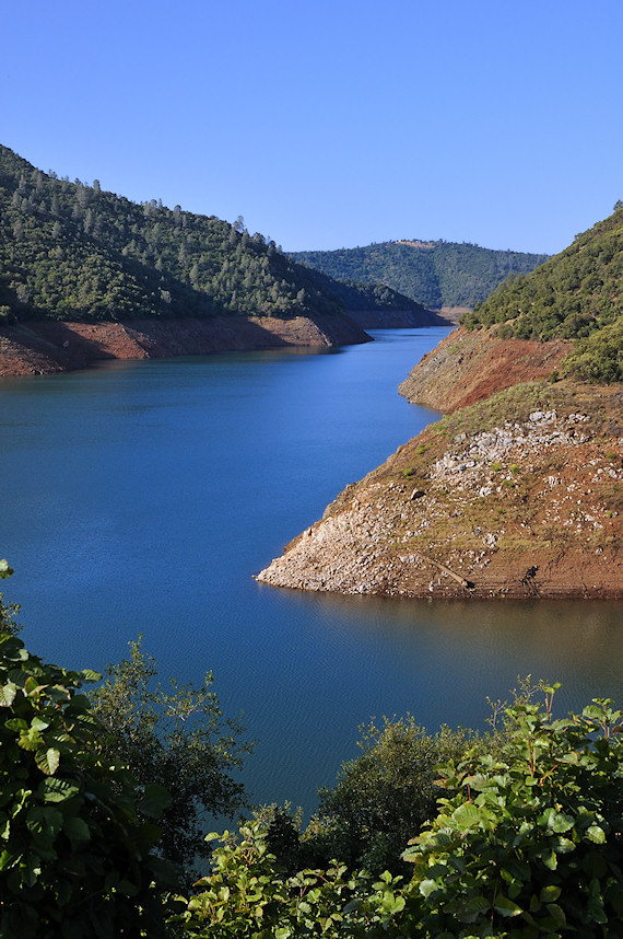
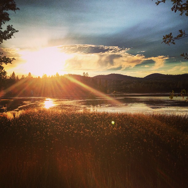
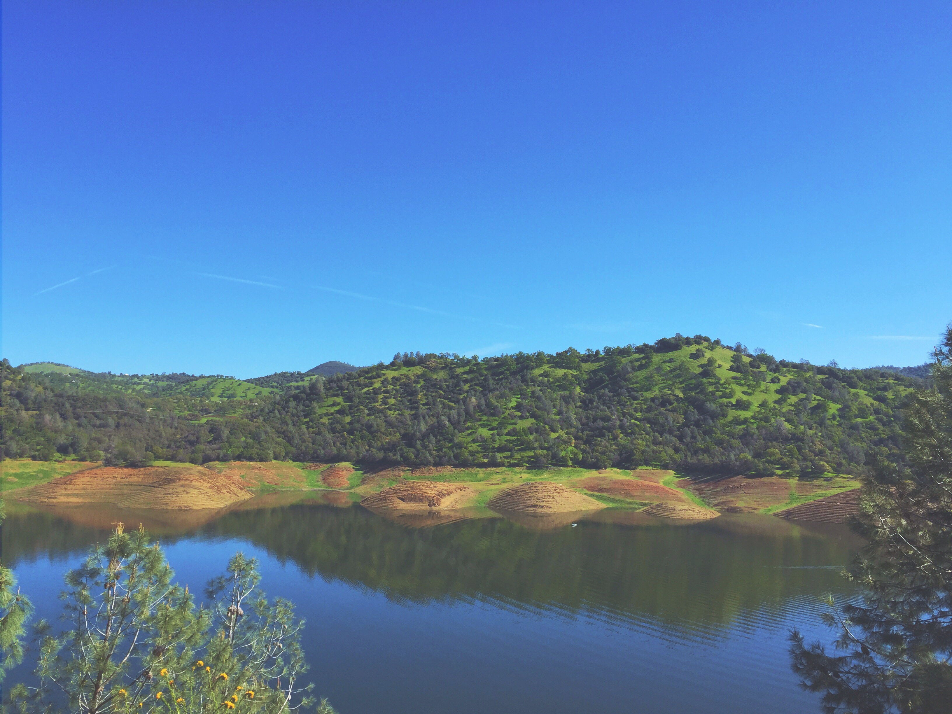
Lake Views
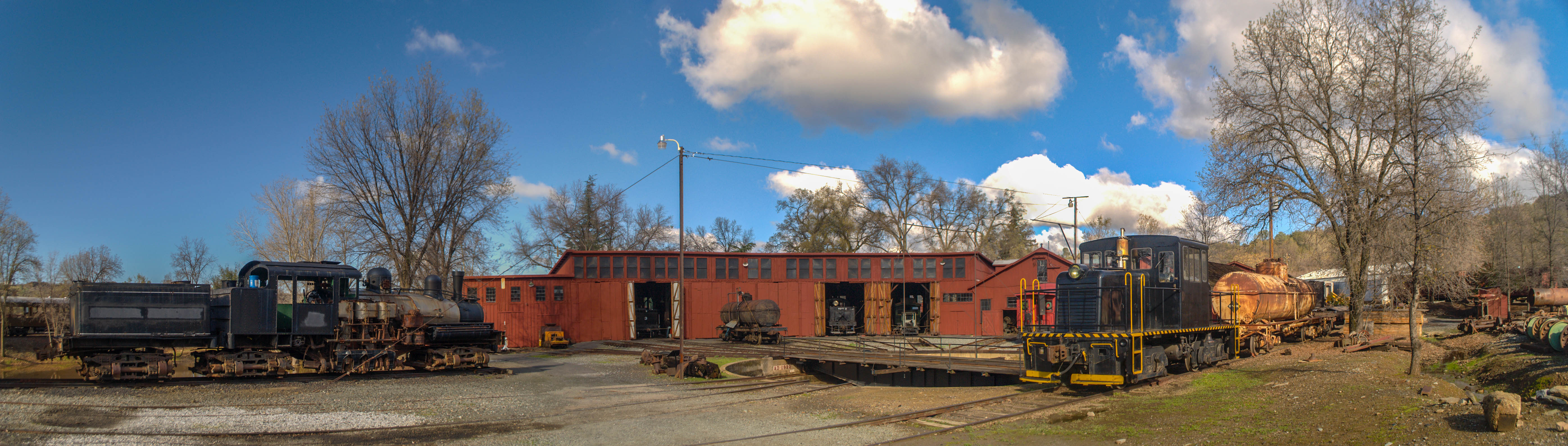
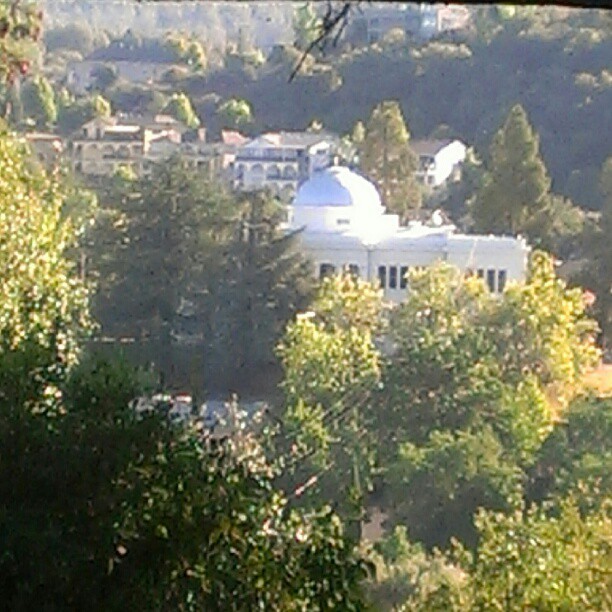
Sierra Railway Roundhouse (Panorama)
A Room with a view.
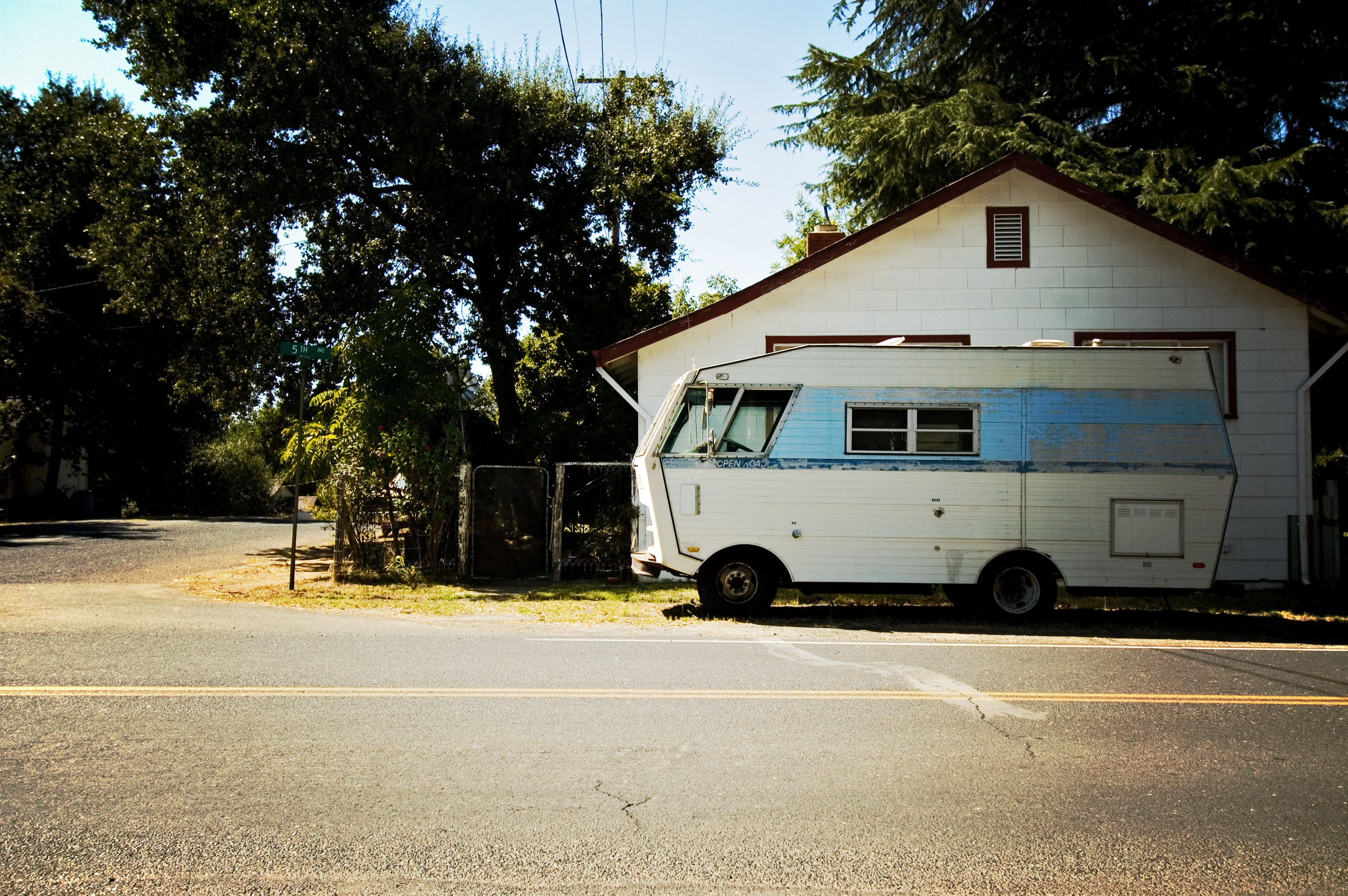
RV in Jamestowm
Office View
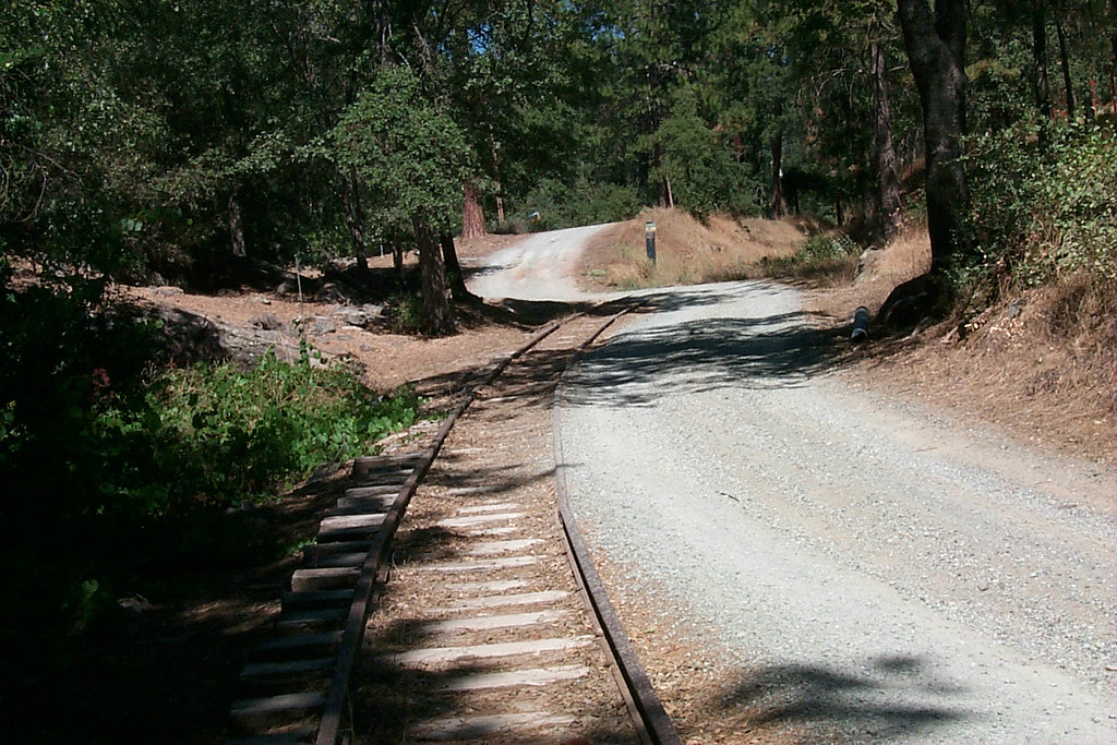
View along the trackbed
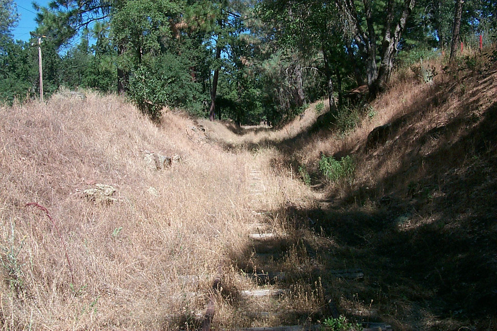
View along the trackbed
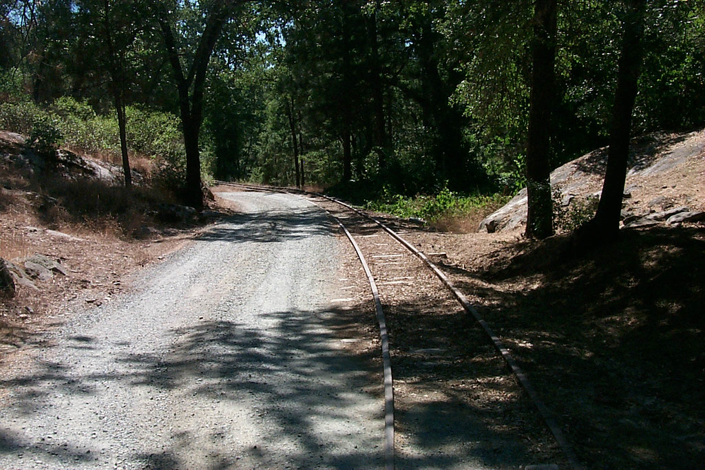
View along the trackbed
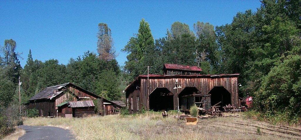
The shops from the south
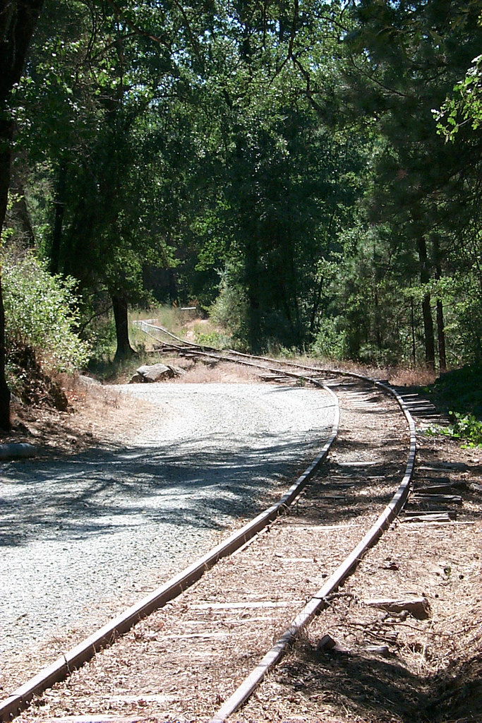
View along the trackbed

If only in b&w

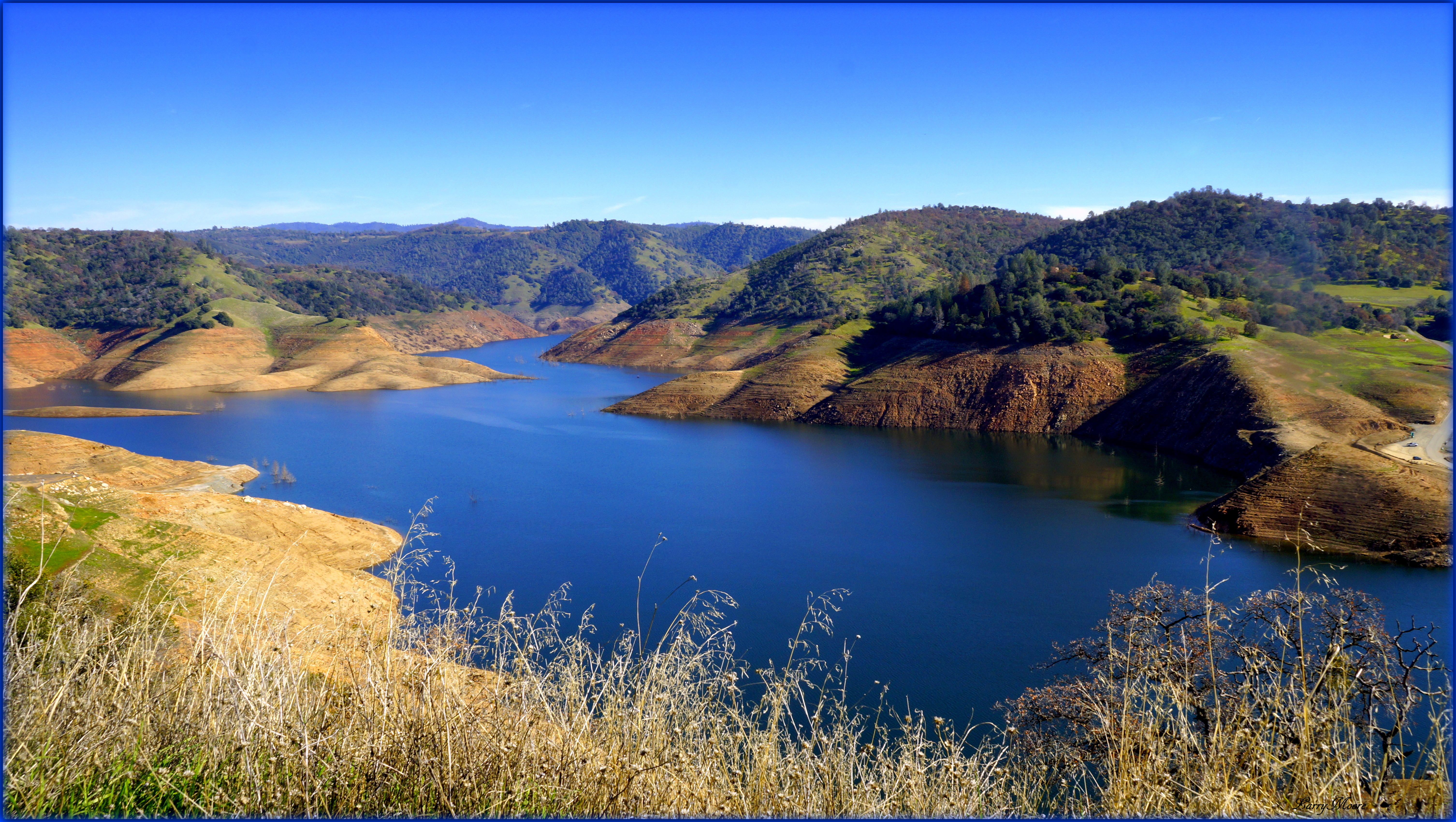
Lake Views

View along the trackbed
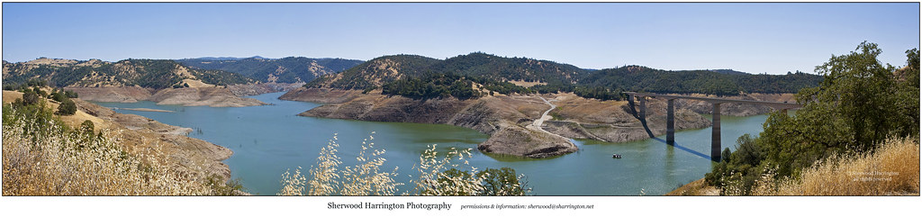
New Melones Near the Parrots Ferry Bridge

And Then Came The Wind - Highway 49 Bridge Across New Melones Reservoir - Sierra Nevada Mountains, California
California Retreet

Good Tuesday Morning! #morning #rural #bluesky #cloudporn #trees #green
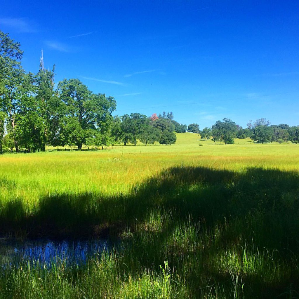
Out for a walk in my hood. #meadow #pasture #rural #grass #tree #green #blue
#lake #roadtrip
#yosemite #roadtrip #usa

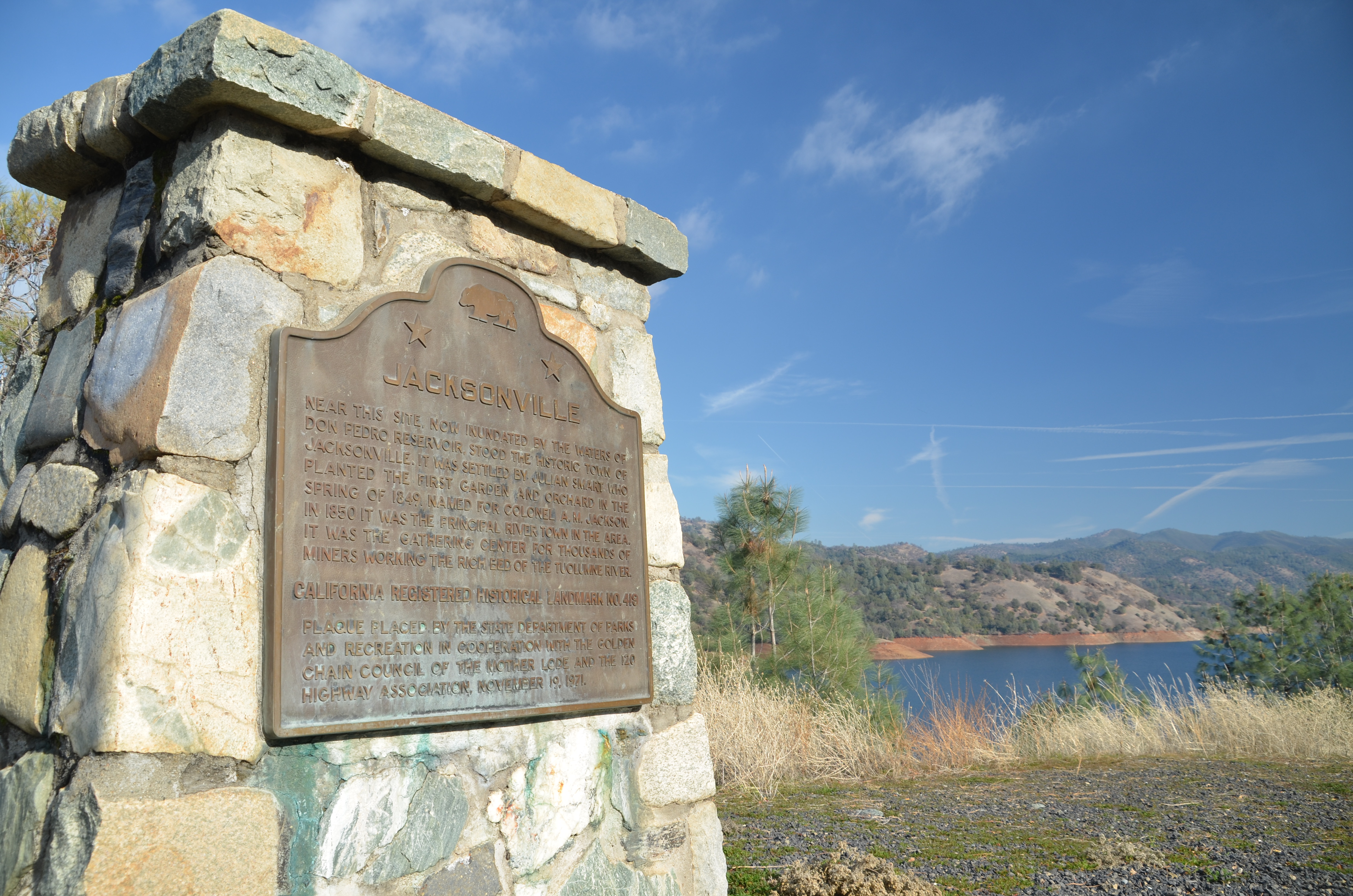
Former Site of Jacksonville, CA
California highway
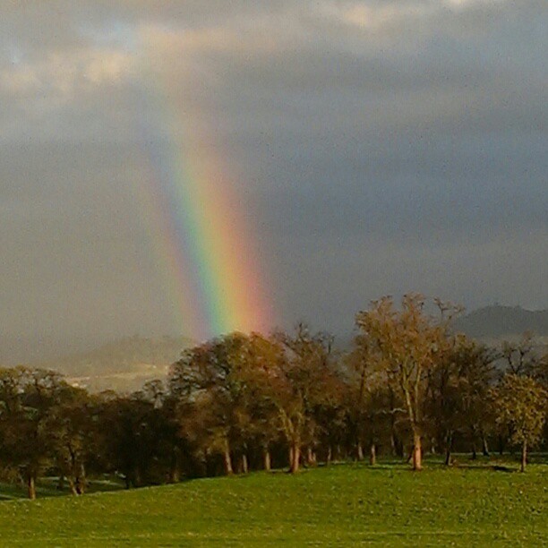
A Rainbow for you.
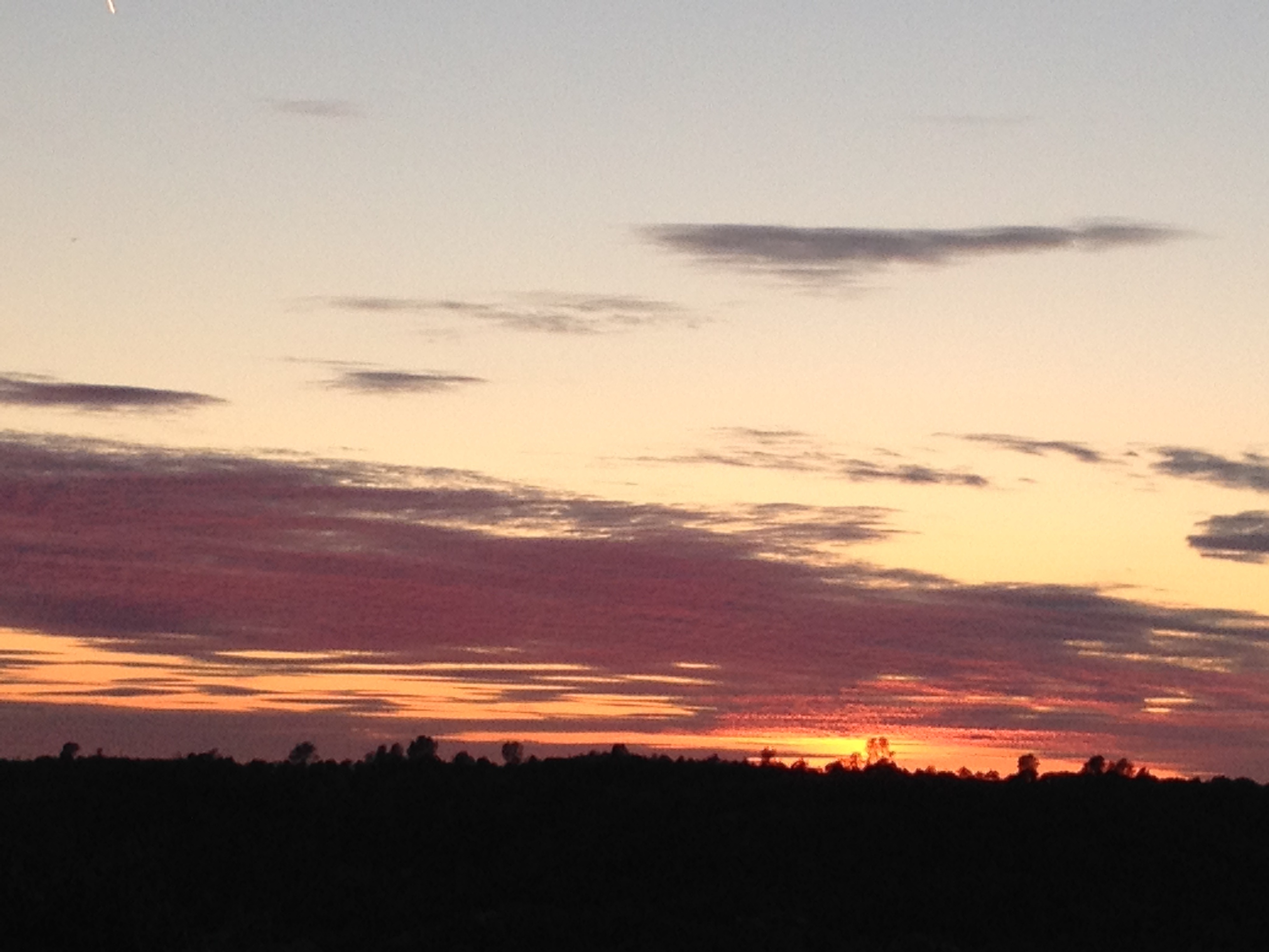
Sunset from Marilyn's
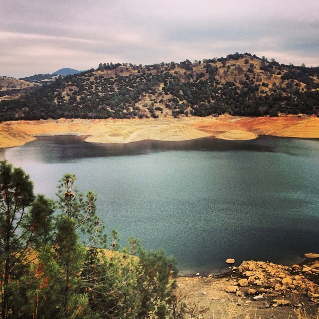
Upper New Melones Lake at Very Low Water
Last man standing
Lake Don Pedro
Trail to Natural Bridge

20090405_Gold Wall_0391

HPIM0164.jpg
HDR paints the world in surreal.
Topographic Map of Sonora, CA, USA
Find elevation by address:

Places in Sonora, CA, USA:
Kelly Loop, Sonora, CA, USA
Phoenix Lake Rd, Sonora, CA, USA
Springfield Rd, Sonora, CA, USA
High Meadow Dr, Sonora, CA, USA
Peaceful Oak Rd, Sonora, CA, USA
Kewin Mill Rd, Sonora, CA, USA
Apple Hill Dr, Sonora, CA, USA
Estralita Dr, Sonora, CA, USA
Longeway Rd, Sonora, CA, USA
Uncle Toms Dr, Sonora, CA, USA
High Rd, Sonora, CA, USA
Parrotts Ferry Rd, Sonora, CA, USA
Curtis Cir, Sonora, CA, USA
Fir Dr, Sonora, CA, USA
Gibbs Dr, Sonora, CA, USA
Stone Ln, Sonora, CA, USA
Chukar Cir, Sonora, CA, USA
Soulsbyville Rd, Sonora, CA, USA
Mt Brow Rd, Sonora, CA, USA
Squabble Town Rd, Sonora, CA, USA
Standard Rd, Sonora, CA, USA
Sonora, CA, USA
Camino Del Parque Road South
Lyons Bald Mountain Road
Crystal Falls Drive
Sylva Lane
Standard Road
Phoenix Lake Road
South Forest Road
High Grade Lane
Joe Hooke Lane
Oxbow Lane South
Standard
Pony Tail Court
West Stockton Street
El Oso Way
Dondero Road
Bellview Creek Road
Portuguese Gulch
Big Hill Road
Hillside Drive
Places near Sonora, CA, USA:
128 S Green St
350 S Washington St
61 Snell St
29 Hope Ln
South Forest Road
36 Arbona Cir S
779 E Oakside Dr
248 Arbona Cir S
11988 Ca-49
21 Cottage Ct
West Stockton Street
709 Arbona Cir N
181 Elk Dr
940 Sylva Ln
Sonora, CA, USA
Portuguese Gulch
Hwy 49 - Day Reporting Center
1292 Shaws Flat Rd
100 Preston Pl
20127 Leland Dr
Recent Searches:
- Elevation of Corso Fratelli Cairoli, 35, Macerata MC, Italy
- Elevation of Tallevast Rd, Sarasota, FL, USA
- Elevation of 4th St E, Sonoma, CA, USA
- Elevation of Black Hollow Rd, Pennsdale, PA, USA
- Elevation of Oakland Ave, Williamsport, PA, USA
- Elevation of Pedrógão Grande, Portugal
- Elevation of Klee Dr, Martinsburg, WV, USA
- Elevation of Via Roma, Pieranica CR, Italy
- Elevation of Tavkvetili Mountain, Georgia
- Elevation of Hartfords Bluff Cir, Mt Pleasant, SC, USA