Elevation of Standard Rd, Sonora, CA, USA
Location: United States > California > Tuolumne County > Sonora >
Longitude: -120.31194
Latitude: 37.966532
Elevation: 698m / 2290feet
Barometric Pressure: 93KPa
Elevation Map:
Satellite Map:
Related Photos:

"Galactic Kaleidoscope"

Bontrager Livestrong race preparation

Best When Unexpected
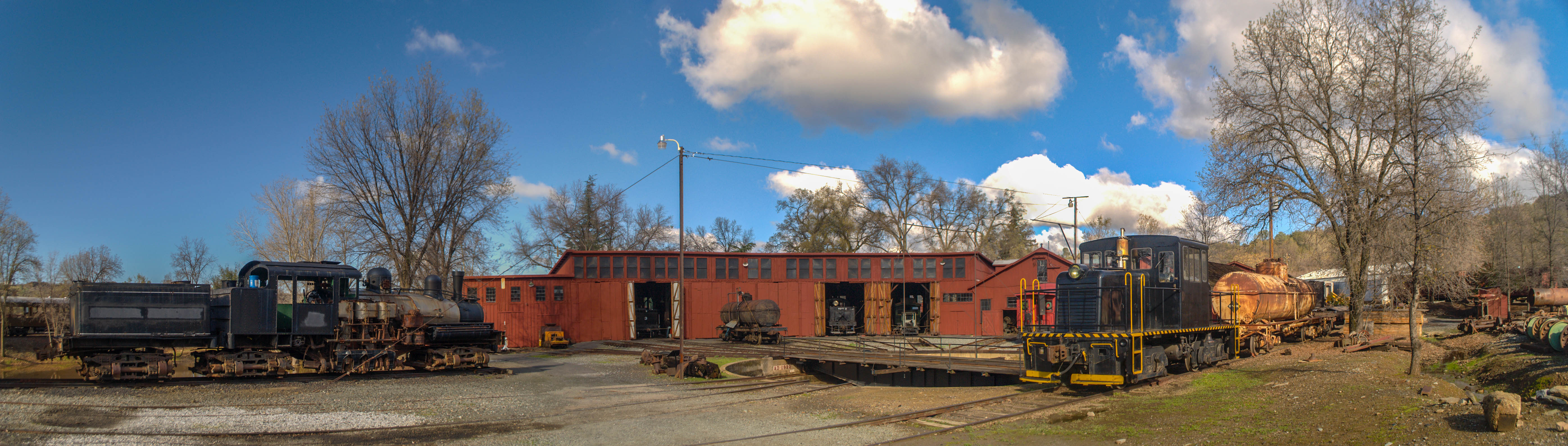
Sierra Railway Roundhouse (Panorama)
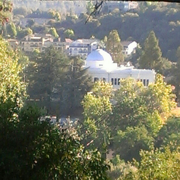
A Room with a view.

RV in Jamestowm
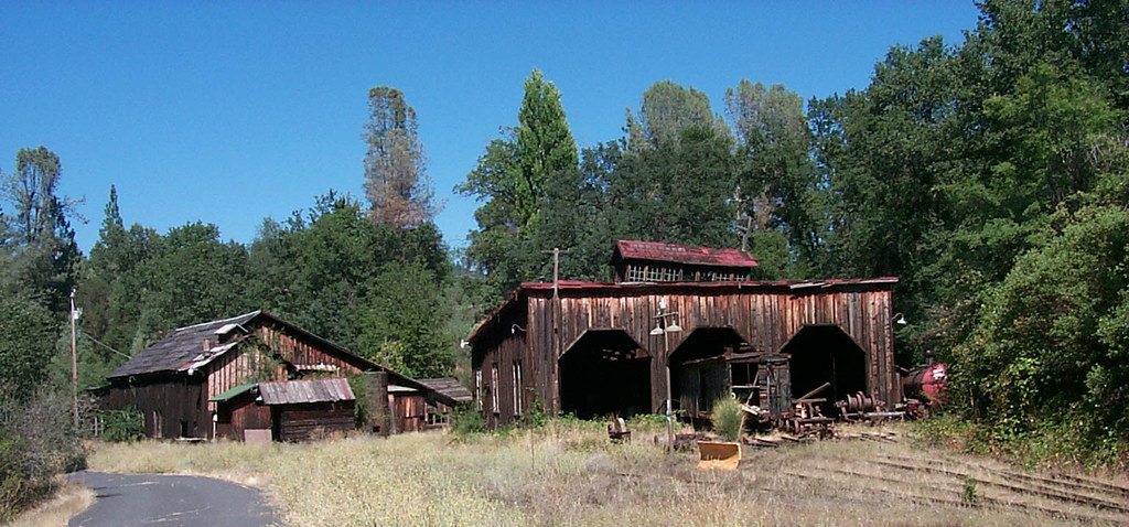
The shops from the south
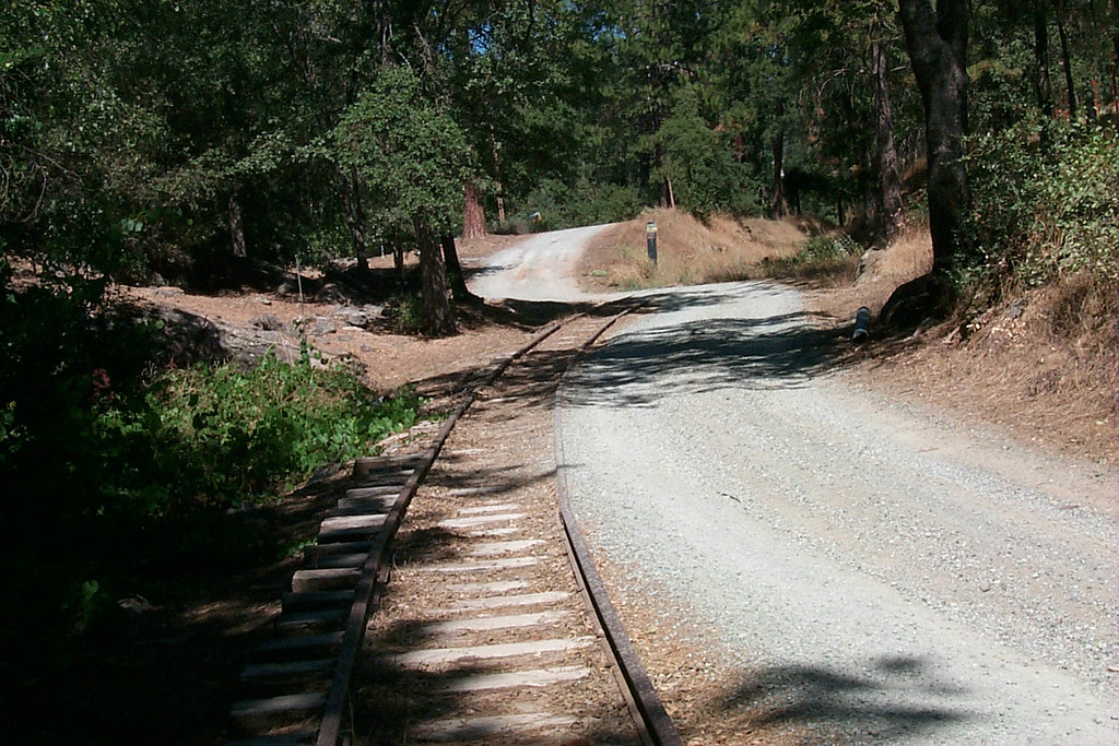
View along the trackbed
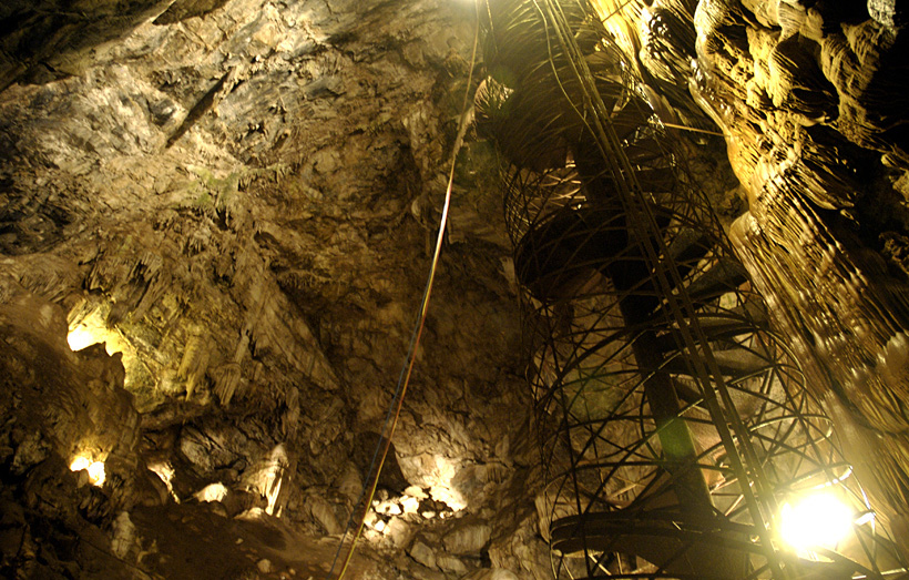
Moaning Cavern from the bottom.
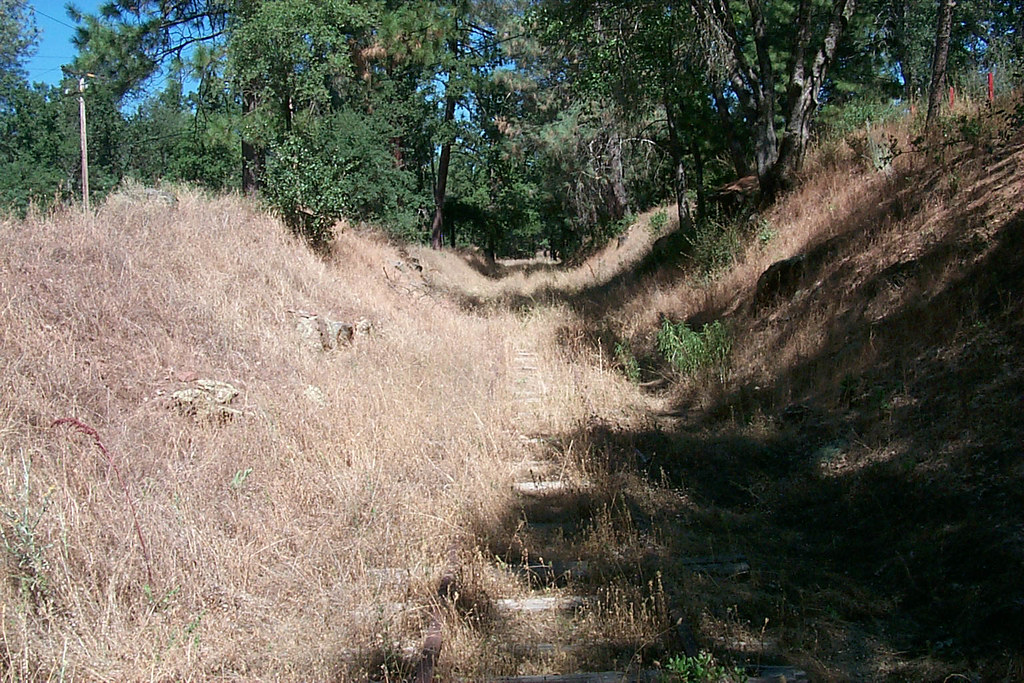
View along the trackbed

View along the trackbed

If only in b&w

Sanding tower
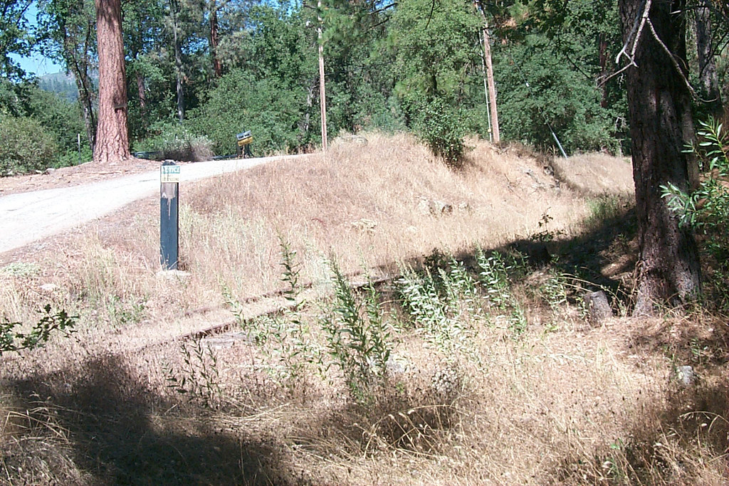
View along the trackbed
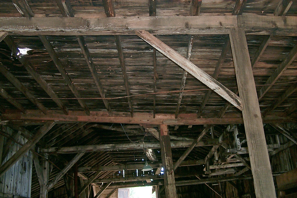
Underside of the shed roof
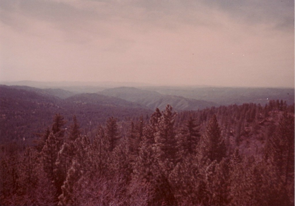
a1976-010

Occupational Olympics: Patterns In Architecture And Nature
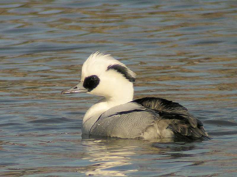
Smew - male
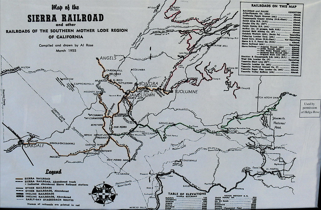
Sierra Railroad Map of the Mother Lode Region of California

A room with a view

With shade, but now you can't see the snow or the view
New Melones Near the Parrots Ferry Bridge

#yosemite #roadtrip #usa

California highway

A Rainbow for you.
Last man standing

Central-_Valley_CA_20150308-2838

20090405_Gold Wall_0391
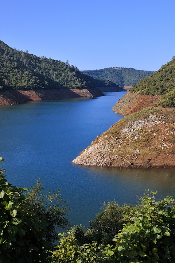
New Melones Lake

Misty Morning

Trip to Yosemite 032
California hasn't had rain in a while and before that it@was a while too. All the reservoirs are below 50% full, old list archeological sites are being revealed: the governor declared a state of emergency complete with rationing and fines and neighbours r
#lake #roadtrip

Former Site of Jacksonville, CA

Sunset from Marilyn's

night vista
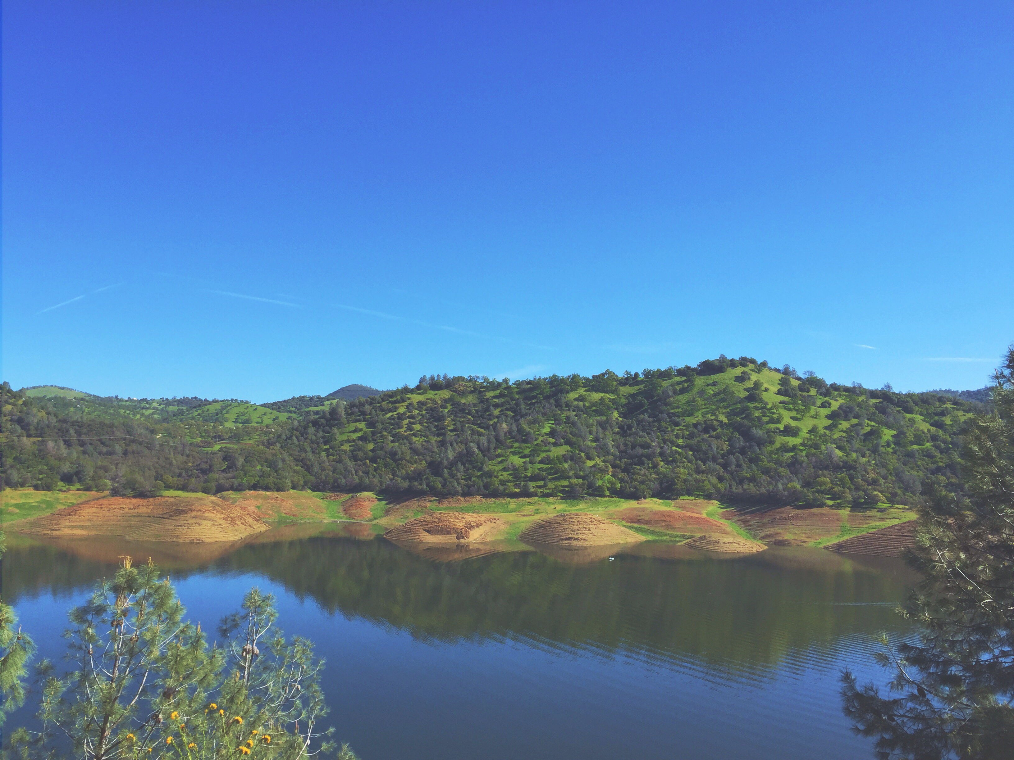
Lake Don Pedro

Sept Evening

Thought you would enjoy

On the way to Yosemite
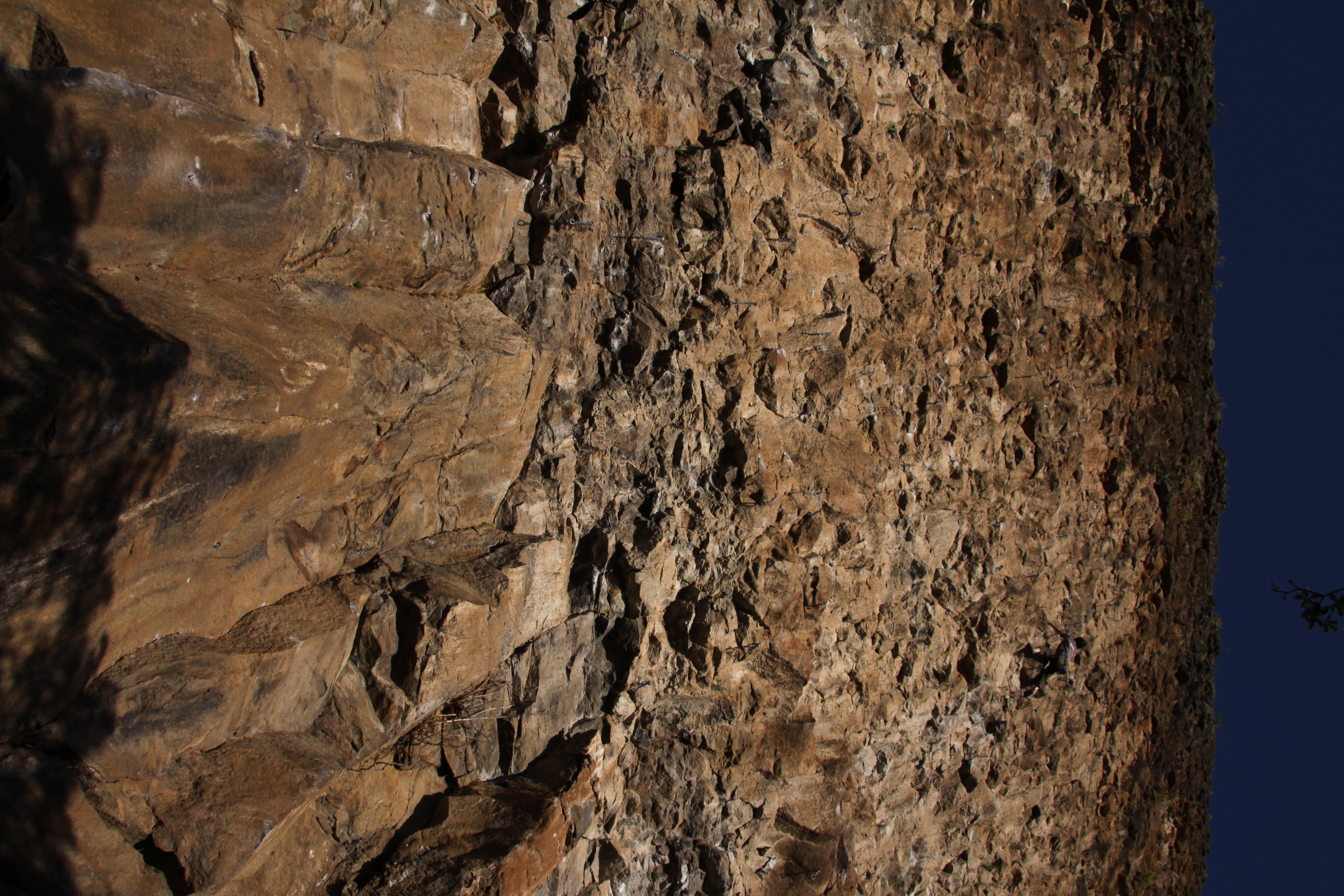
20090405_Gold Wall_0528
Topographic Map of Standard Rd, Sonora, CA, USA
Find elevation by address:

Places near Standard Rd, Sonora, CA, USA:
Standard
Standard Road
Sierra Stone Inc
18885 Nugget Blvd
18330 Wards Ferry Rd
Kelly Loop, Sonora, CA, USA
18586 Olov Rd
17210 Wards Ferry Rd
18078 Rob-ric Rd
Soulsbyville Rd, Sonora, CA, USA
13627 Kincaid Flat Rd
17917 Lime Kiln Rd
17976 Lime Kiln Rd
17884 Lime Rock Dr
Tuolumne
Cherry Valley Boulevard North
Carter St, Tuolumne, CA, USA
18737 Carter St
18633 Vista Dr
18610 Vista Dr
Recent Searches:
- Elevation of Kreuzburger Weg 13, Düsseldorf, Germany
- Elevation of Gateway Blvd SE, Canton, OH, USA
- Elevation of East W.T. Harris Boulevard, E W.T. Harris Blvd, Charlotte, NC, USA
- Elevation of West Sugar Creek, Charlotte, NC, USA
- Elevation of Wayland, NY, USA
- Elevation of Steadfast Ct, Daphne, AL, USA
- Elevation of Lagasgasan, X+CQH, Tiaong, Quezon, Philippines
- Elevation of Rojo Ct, Atascadero, CA, USA
- Elevation of Flagstaff Drive, Flagstaff Dr, North Carolina, USA
- Elevation of Avery Ln, Lakeland, FL, USA