Elevation of Stone Ln, Sonora, CA, USA
Location: United States > California > Tuolumne County > Sonora >
Longitude: -120.32317
Latitude: 37.973835
Elevation: 708m / 2323feet
Barometric Pressure: 93KPa
Elevation Map:
Satellite Map:
Related Photos:
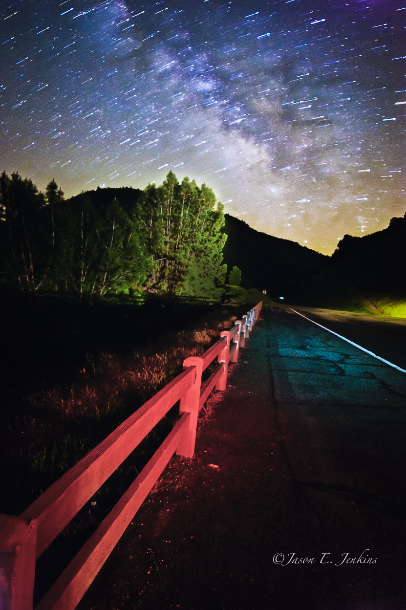
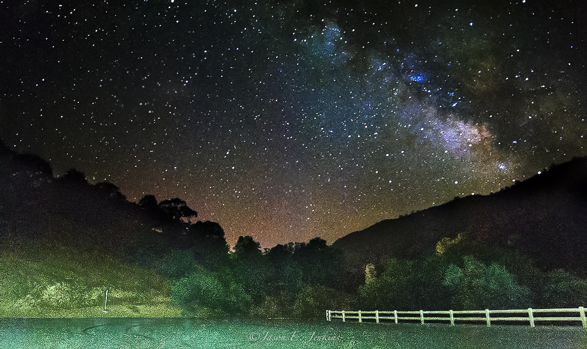
"Galactic Kaleidoscope"

Bontrager Livestrong race preparation

Best When Unexpected

Room 112
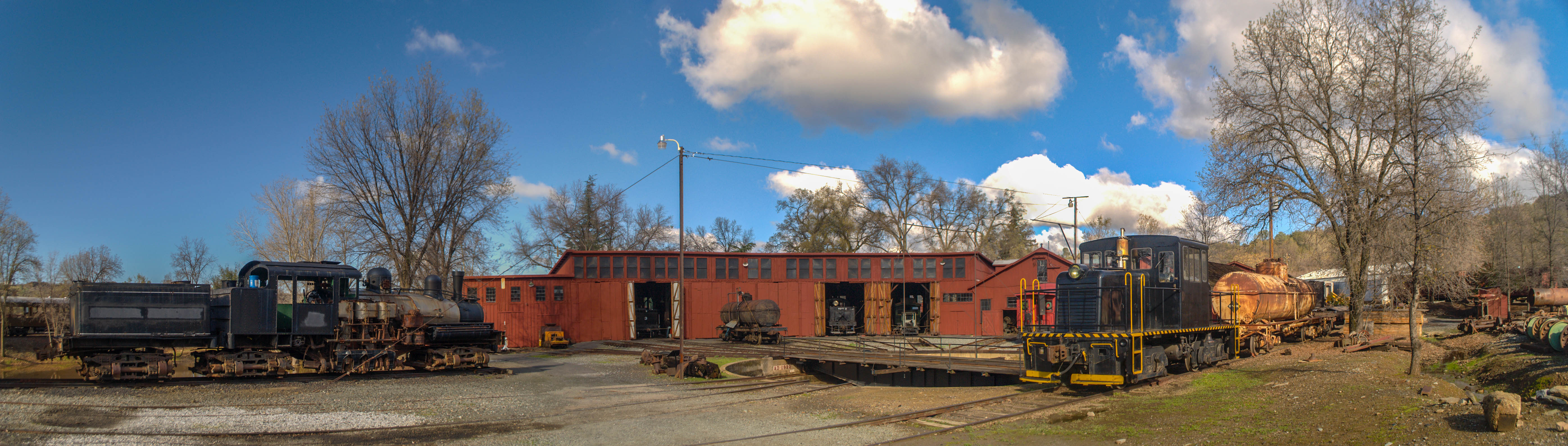
Sierra Railway Roundhouse (Panorama)

Trip to Yosemite 032
A Room with a view.
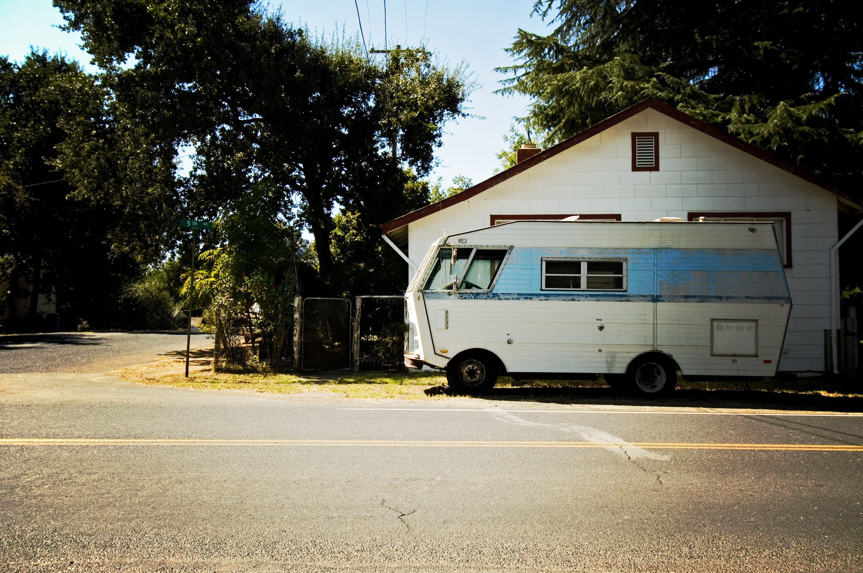
RV in Jamestowm
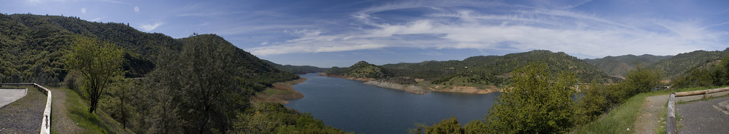
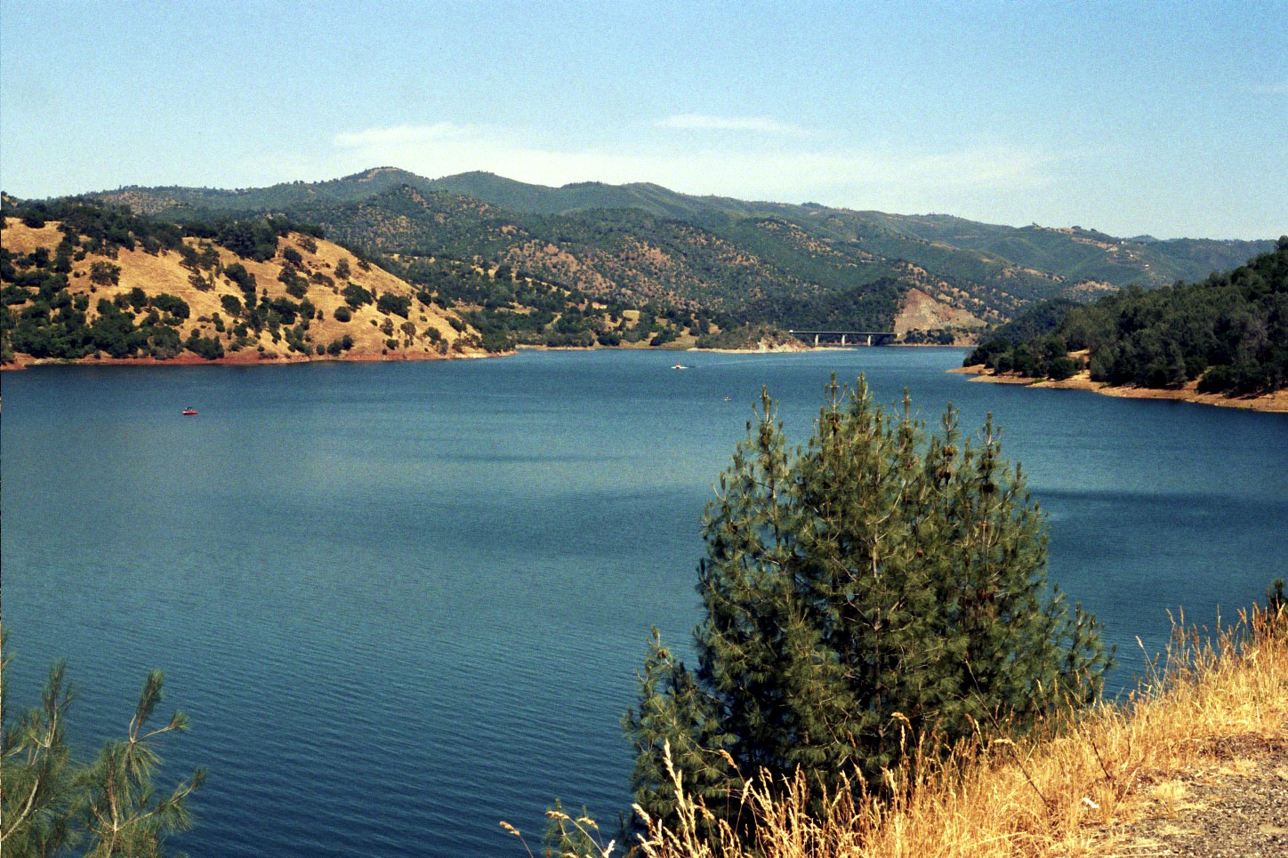
Don Pedro Reservoir
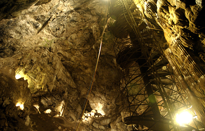
Moaning Cavern from the bottom.
Trip to Yosemite 034
Rest Stop River View

Occupational Olympics: Patterns In Architecture And Nature
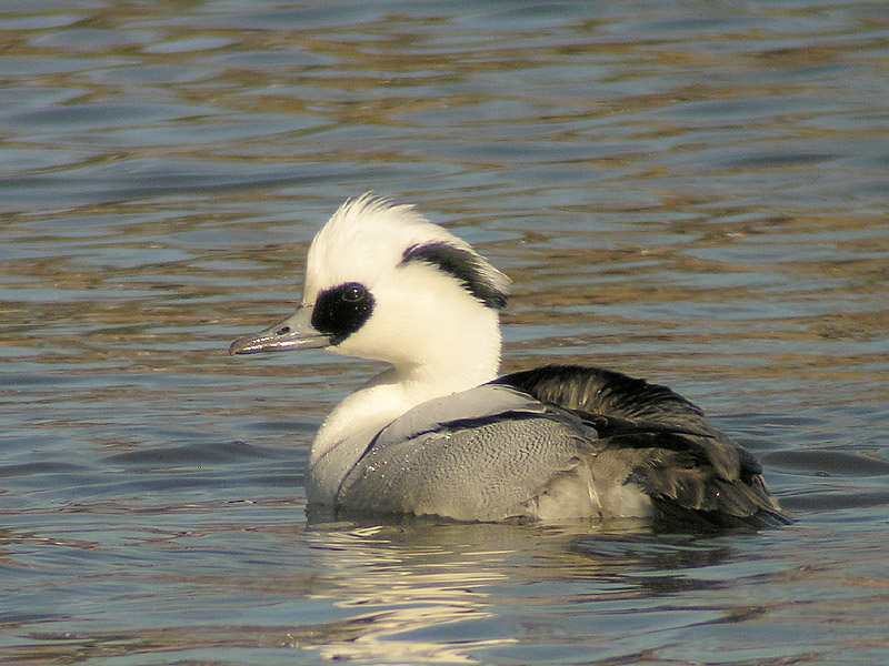
Smew - male
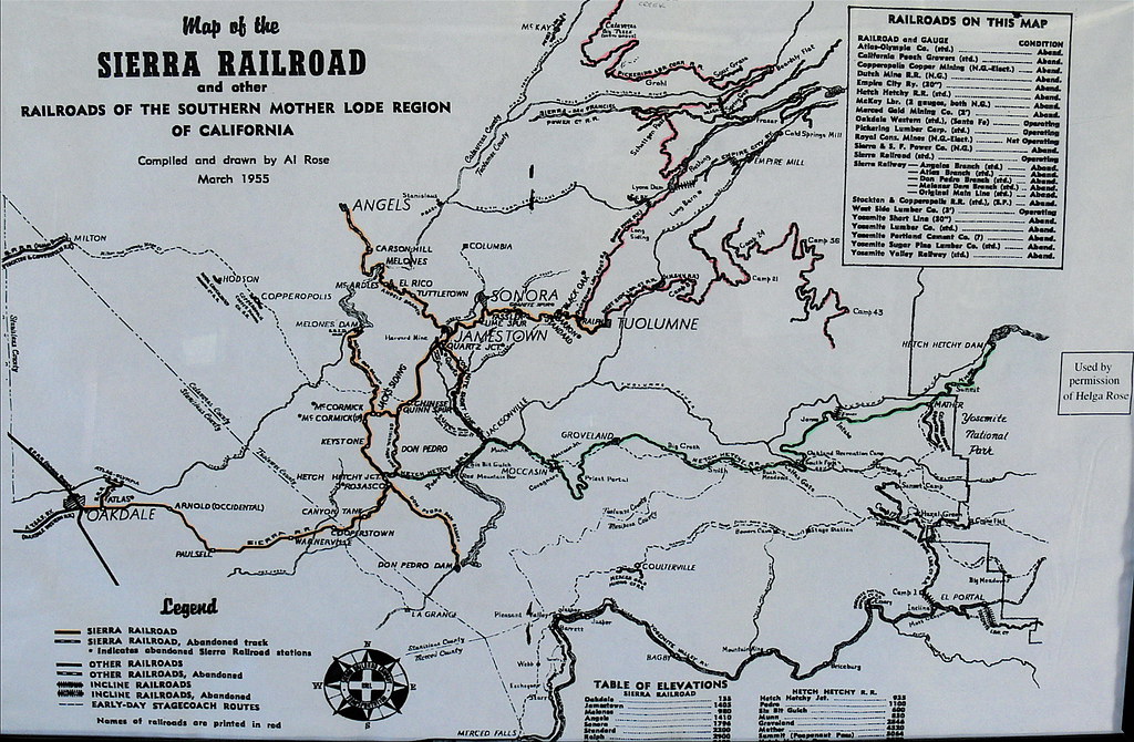
Sierra Railroad Map of the Mother Lode Region of California

A room with a view

Love views #Sonora #Sunrise
#View #Sonora #Fall #Spirtual
Trip to Yosemite 030
The View from Wards Ferry, looking up!
Trip to Yosemite 019
New Melones Near the Parrots Ferry Bridge
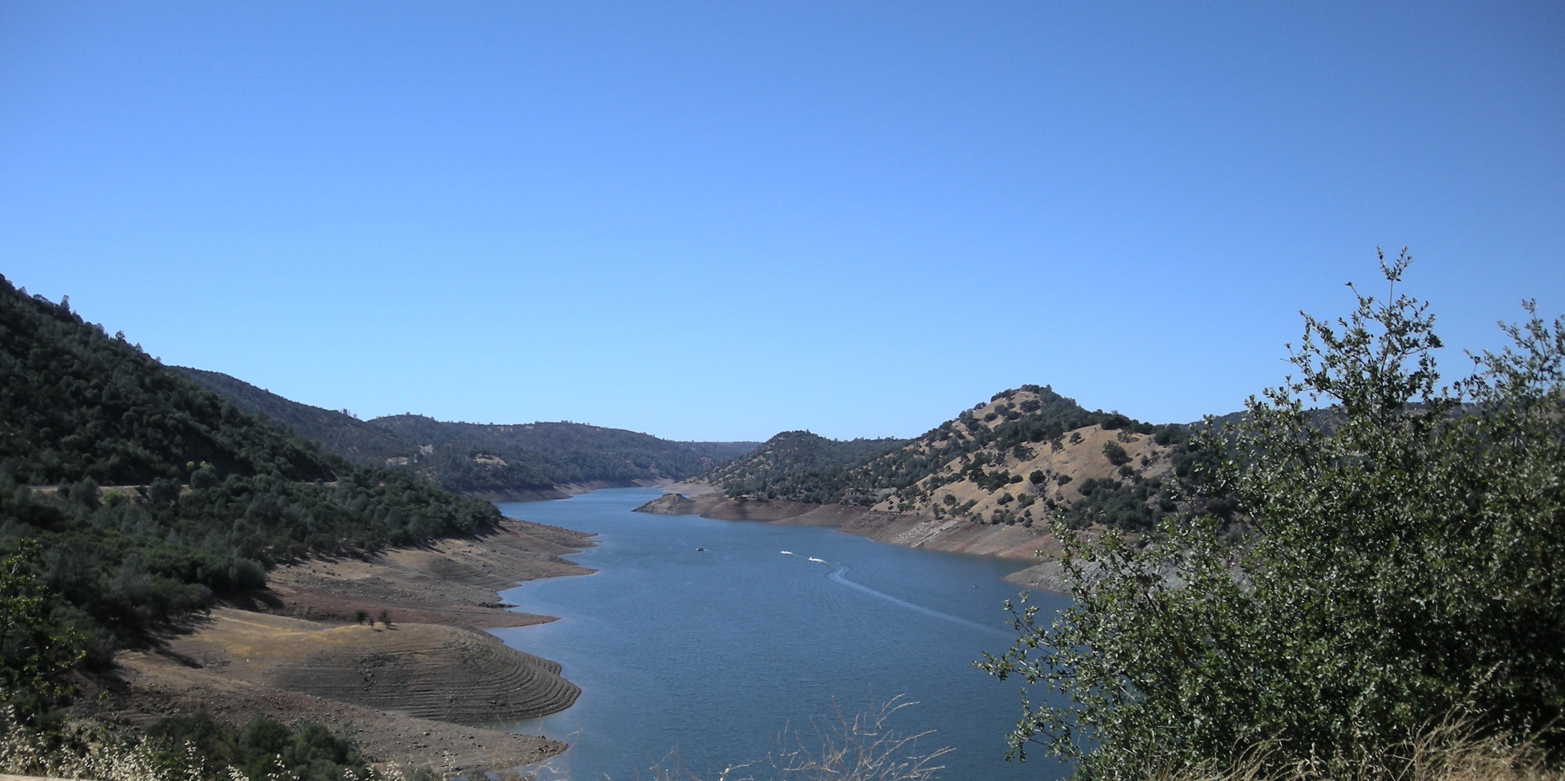
#lake #roadtrip

Former Site of Jacksonville, CA

California highway
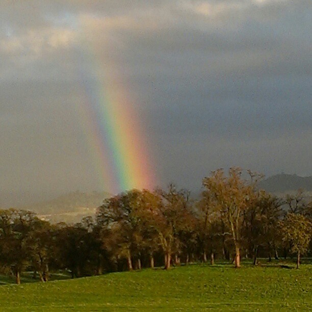
A Rainbow for you.

Sunset from Marilyn's
night vista
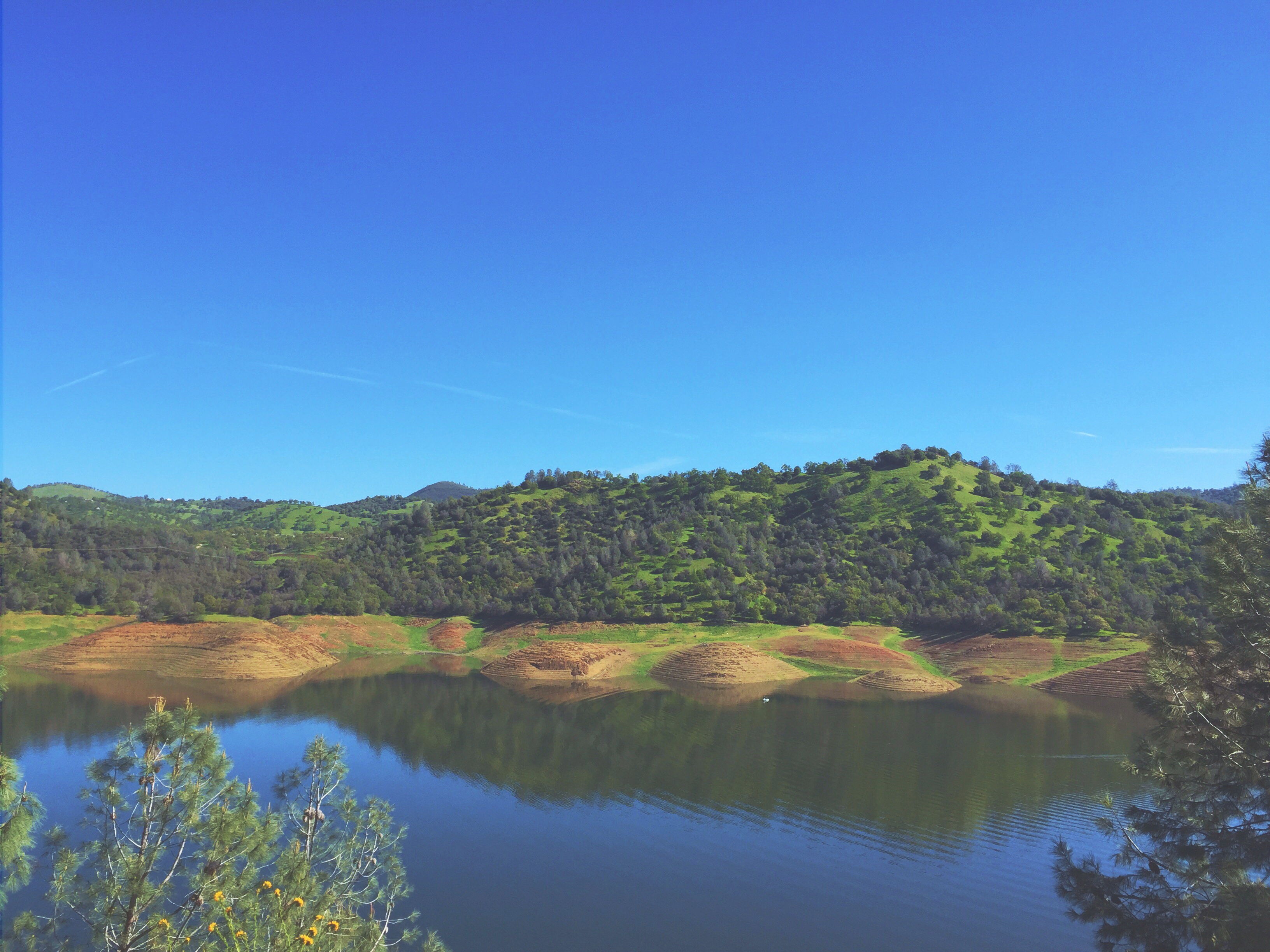
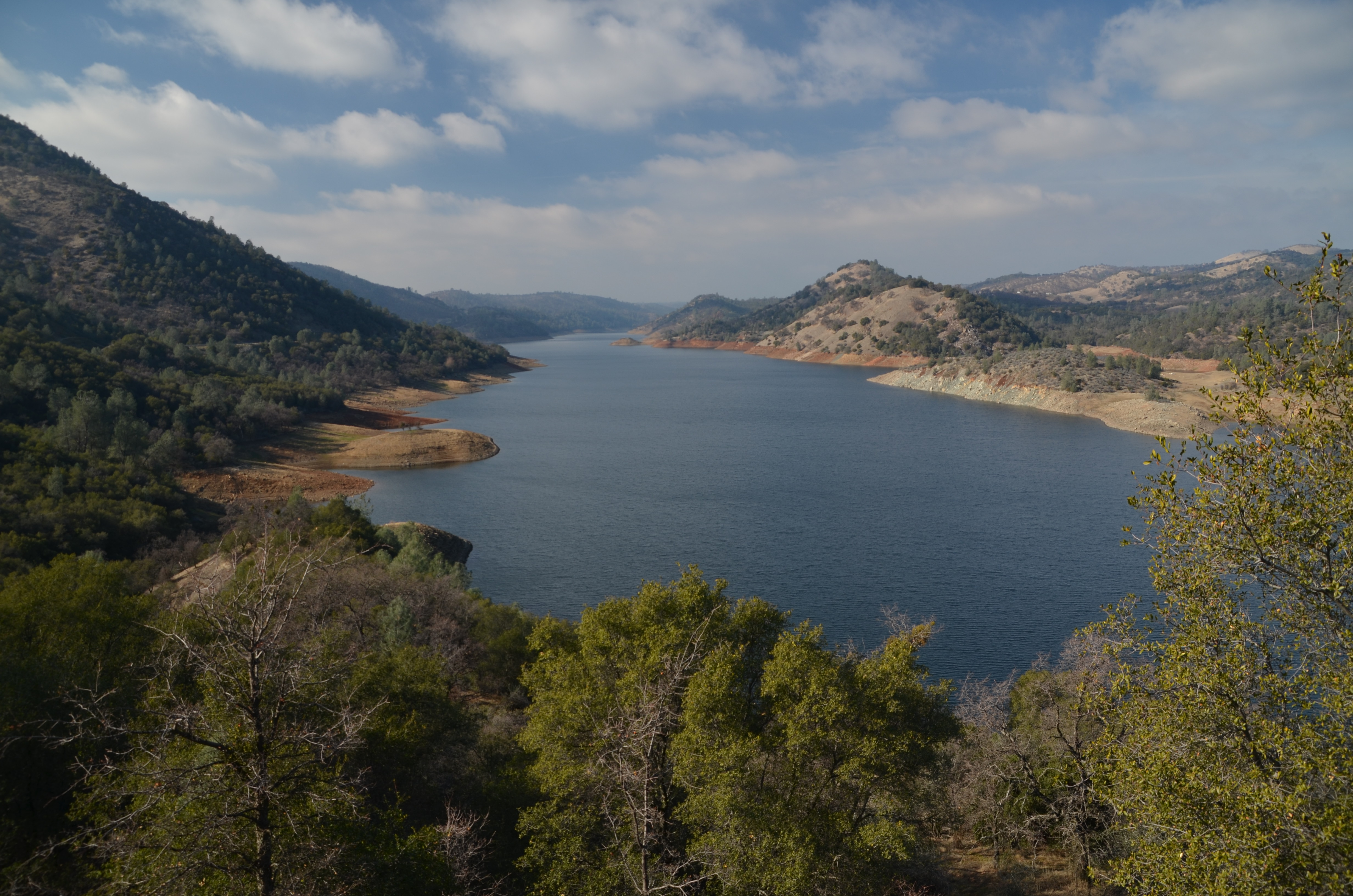
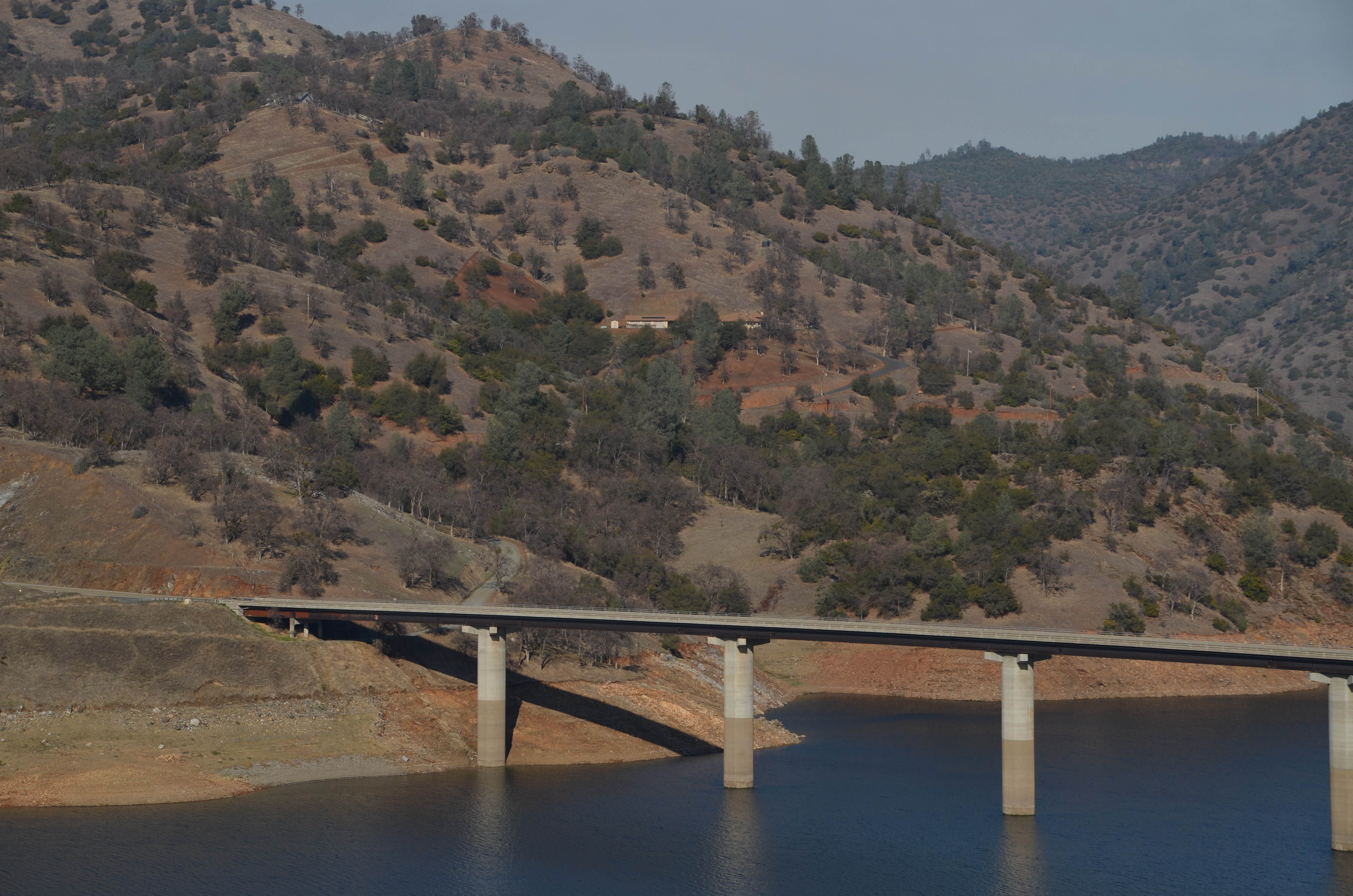
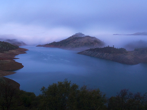
Lake Don Pedro
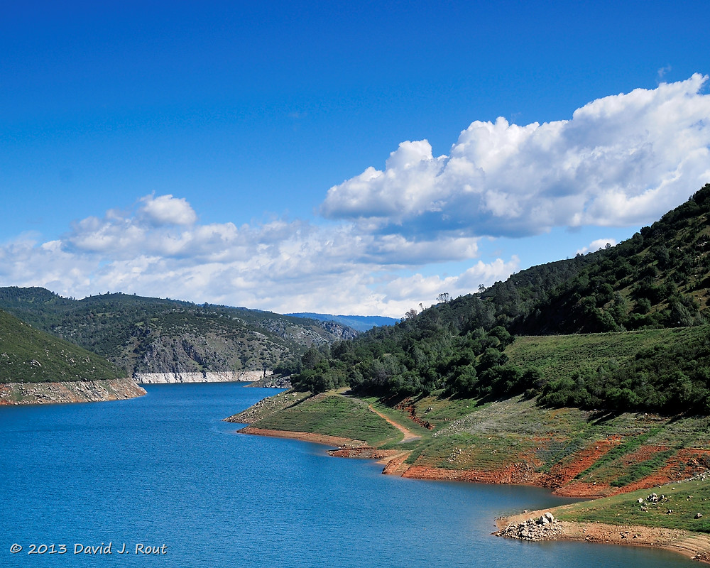
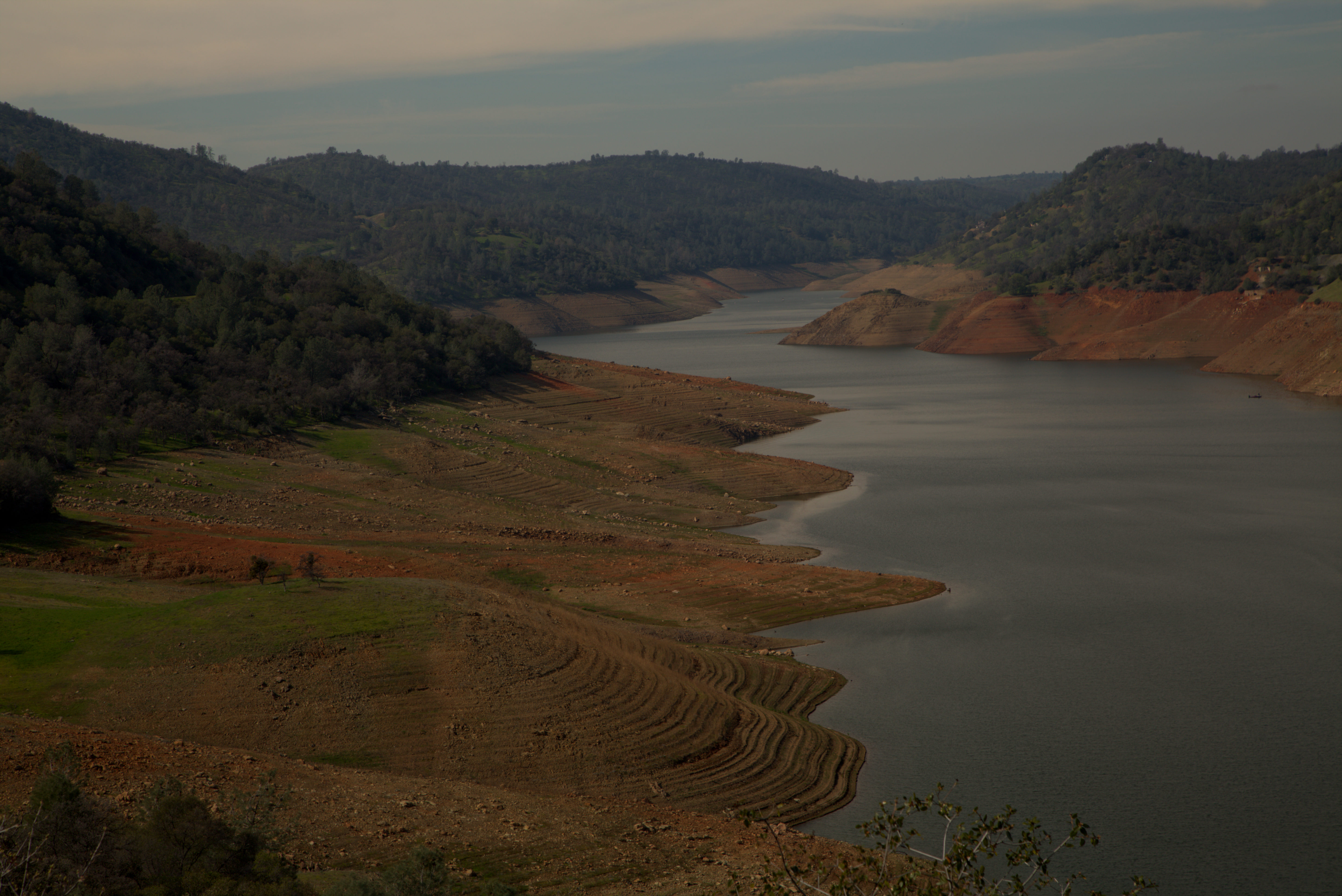
New Melones Lake
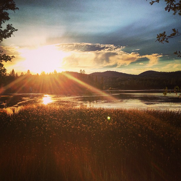
Misty Morning

On the way to Yosemite
Sierras 001
Don Pedro reservoir
#yosemite #roadtrip #usa
Last man standing

Sept Evening

20090405_Gold Wall_0391

Thought you would enjoy
Topographic Map of Stone Ln, Sonora, CA, USA
Find elevation by address:

Places near Stone Ln, Sonora, CA, USA:
19420 Hillsdale Dr
14610 Mono Way
19180 Sunny Cir
19428 Cordelia Ave
20215 Phoenix Lake Rd
20380 Phoenix Lake Rd
20470 Sommette Dr
20346 Brook Dr
20346 Brook Dr
14535 Lake Vista Dr
High Meadow Dr, Sonora, CA, USA
13959 Stanton Cir
13959 Stanton Cir
13990 Stanton Cir
21276 Apple Valley Dr
Fir Dr, Sonora, CA, USA
Apple Hill Dr, Sonora, CA, USA
Sylva Lane
Lyons Bald Mountain Road
1101 Sanguinetti Rd
Recent Searches:
- Elevation of Gateway Blvd SE, Canton, OH, USA
- Elevation of East W.T. Harris Boulevard, E W.T. Harris Blvd, Charlotte, NC, USA
- Elevation of West Sugar Creek, Charlotte, NC, USA
- Elevation of Wayland, NY, USA
- Elevation of Steadfast Ct, Daphne, AL, USA
- Elevation of Lagasgasan, X+CQH, Tiaong, Quezon, Philippines
- Elevation of Rojo Ct, Atascadero, CA, USA
- Elevation of Flagstaff Drive, Flagstaff Dr, North Carolina, USA
- Elevation of Avery Ln, Lakeland, FL, USA
- Elevation of Woolwine, VA, USA