Elevation of Apple Hill Dr, Sonora, CA, USA
Location: United States > California > Tuolumne County > Sonora >
Longitude: -120.32828
Latitude: 38.010636
Elevation: 744m / 2441feet
Barometric Pressure: 93KPa
Elevation Map:
Satellite Map:
Related Photos:

Bontrager Livestrong race preparation

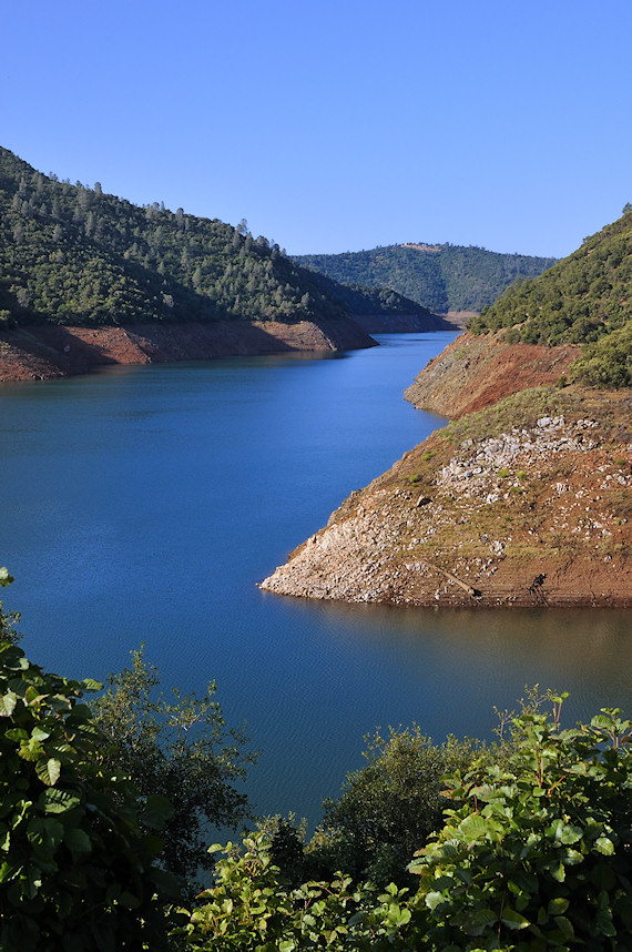
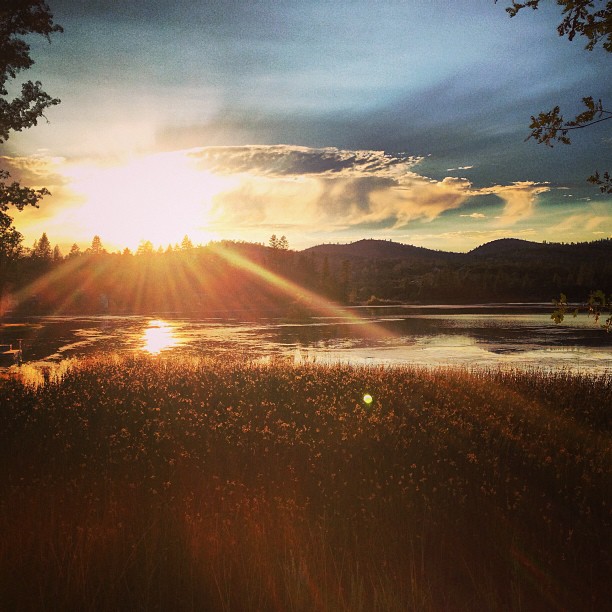
Lake Views
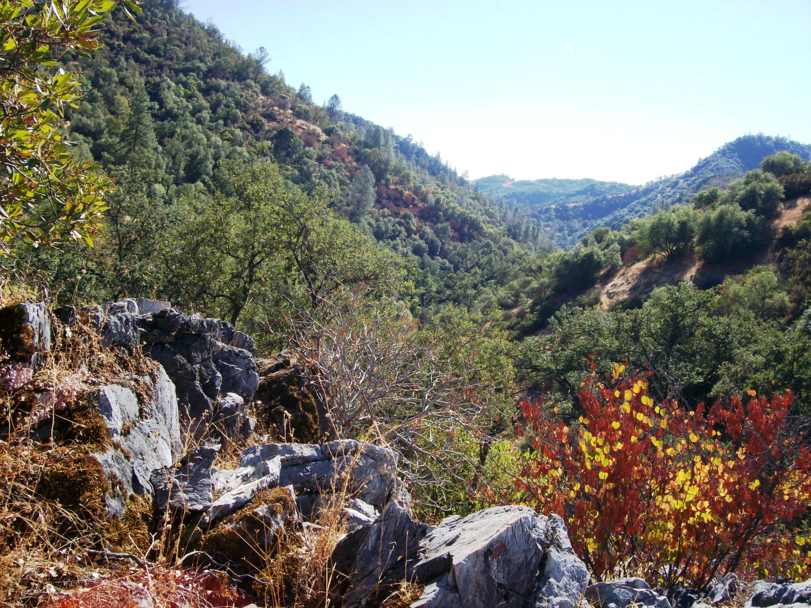
View of the valley where the natural bridge in Calaveras County is located - natural47
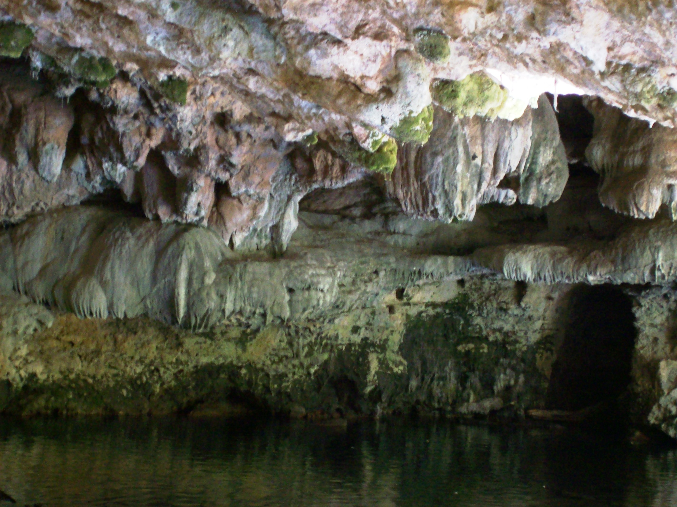
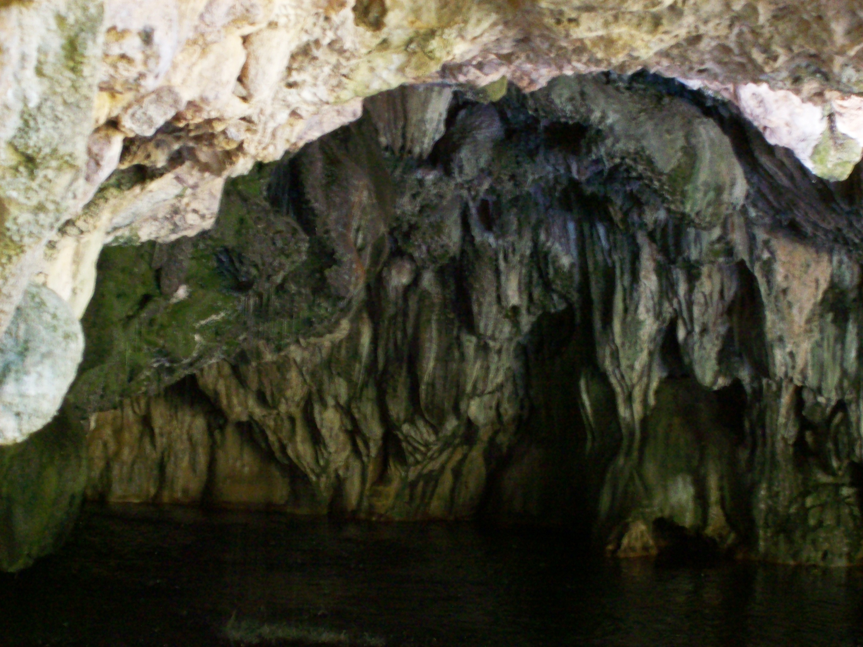
Stalagtites in the open-air entrance to the Natural Bridge at Calaveras County, CA - natural16
View up the spiral staircase leading to the bottom of Moaning Cavern, CA - moaning16

Best When Unexpected

The Poppies Have Arrived!

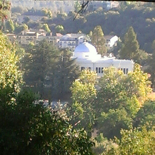
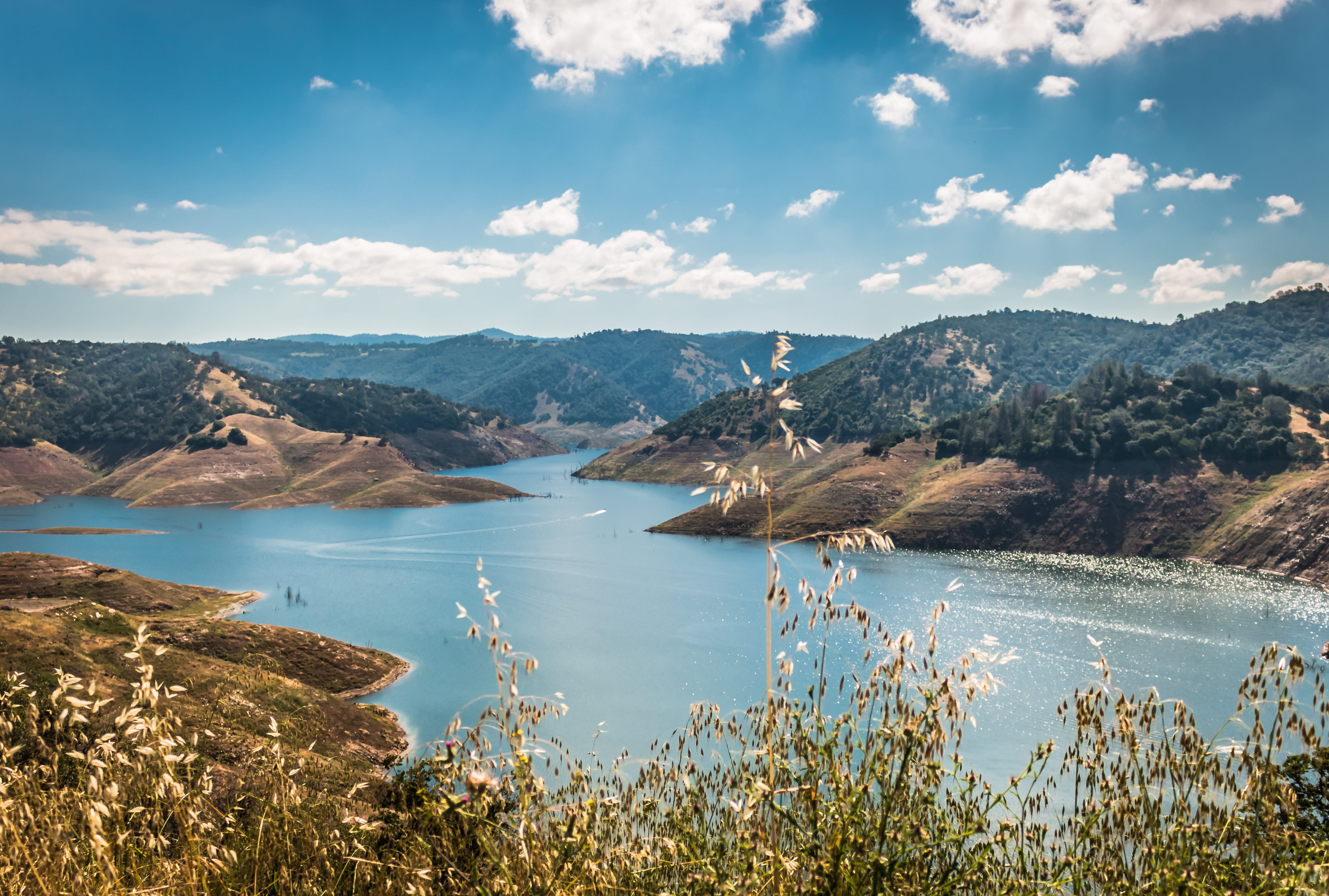
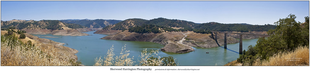
Lake Views
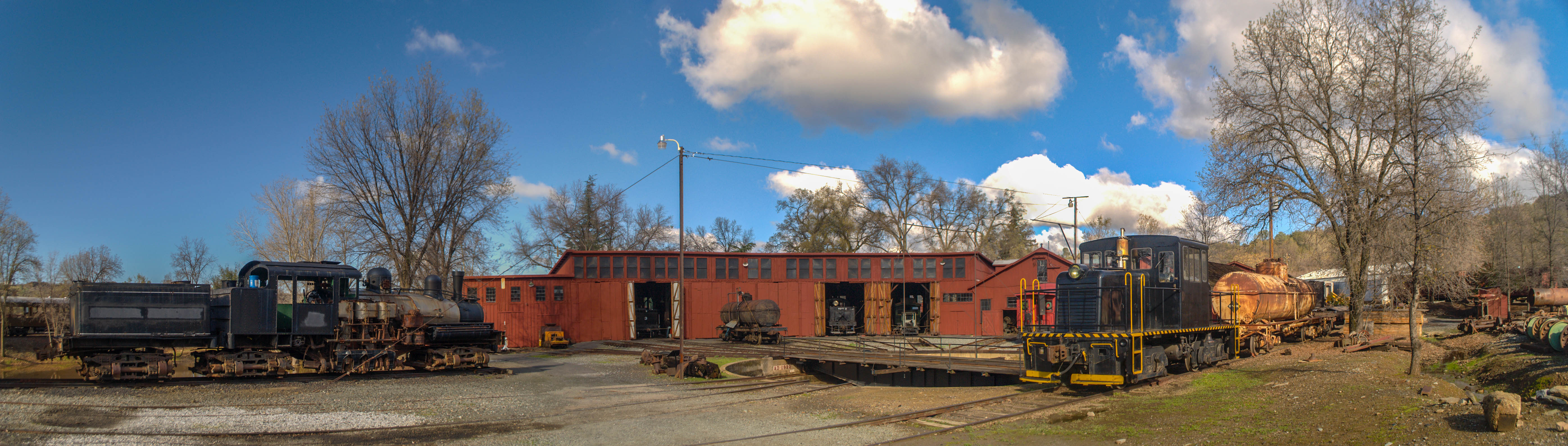
Sierra Railway Roundhouse (Panorama)
A Room with a view.
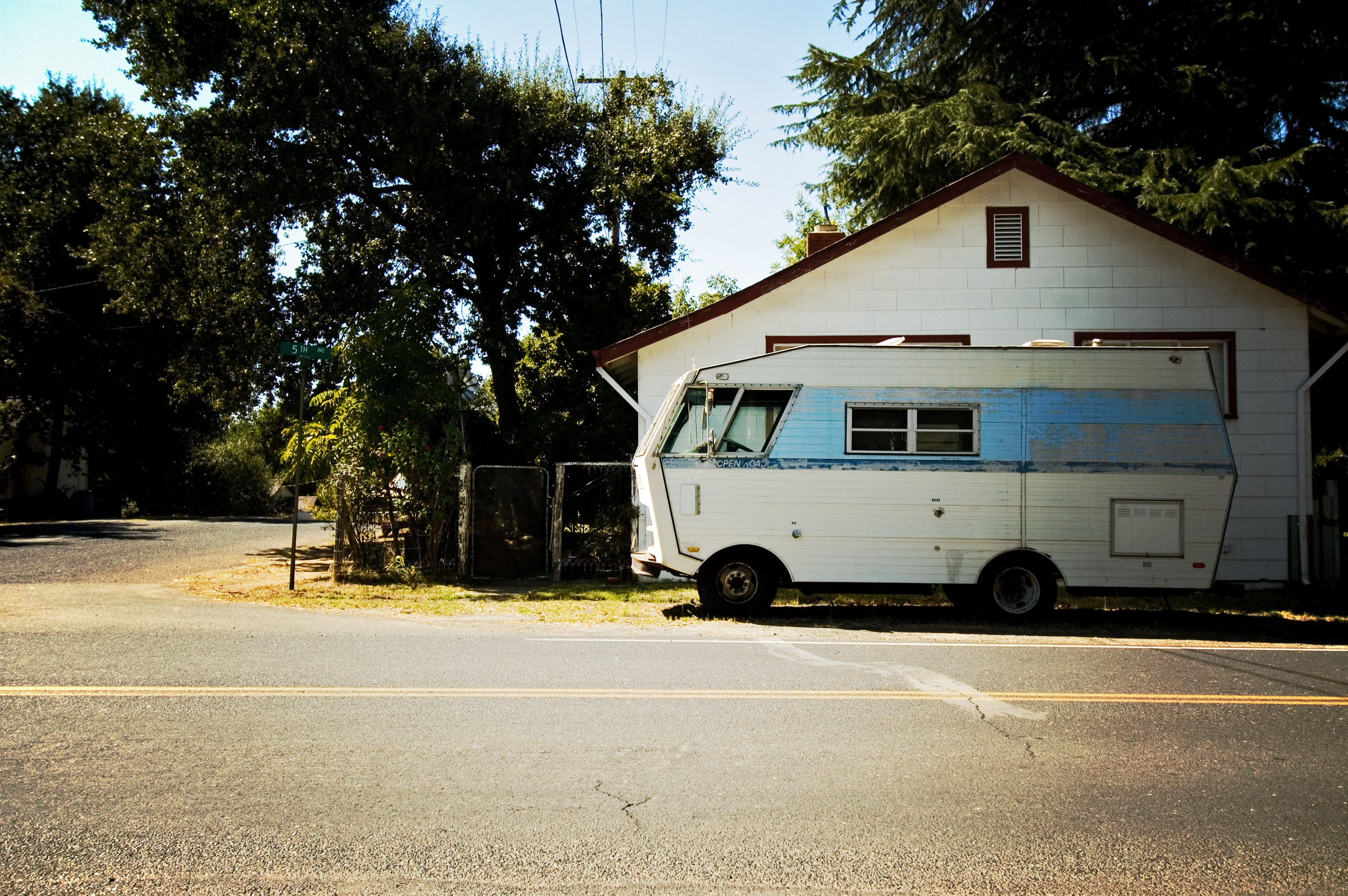
RV in Jamestowm
Office View
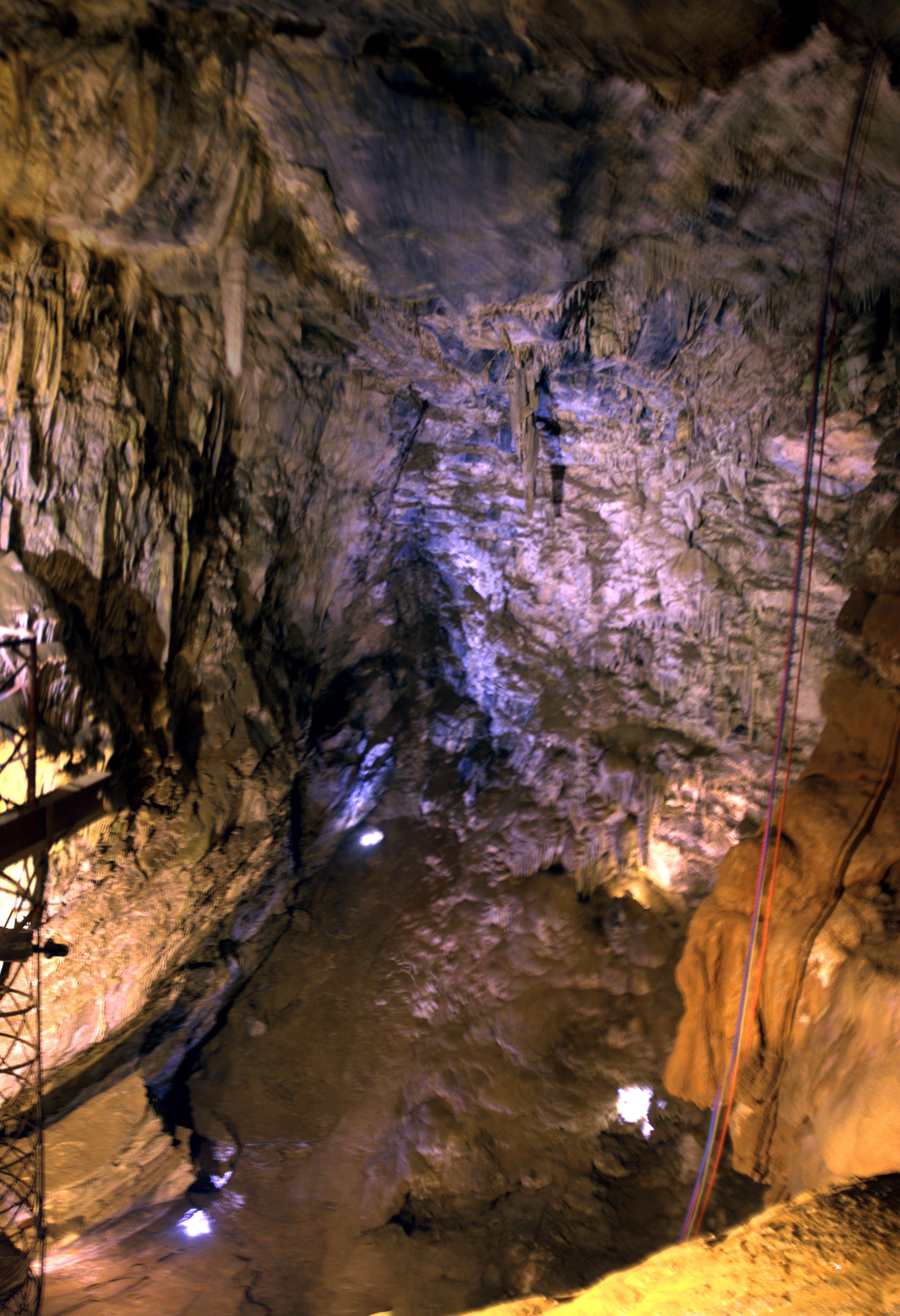
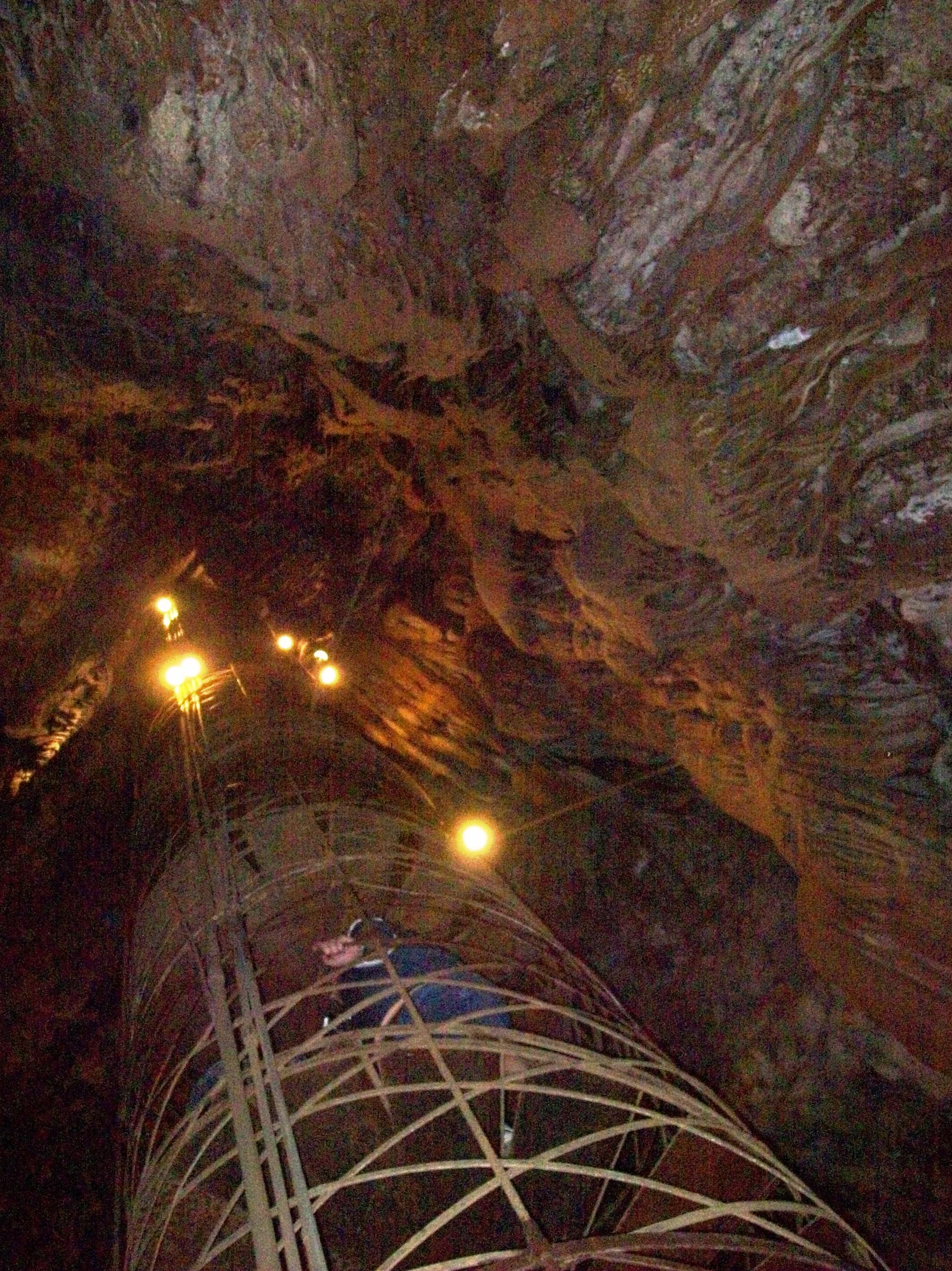
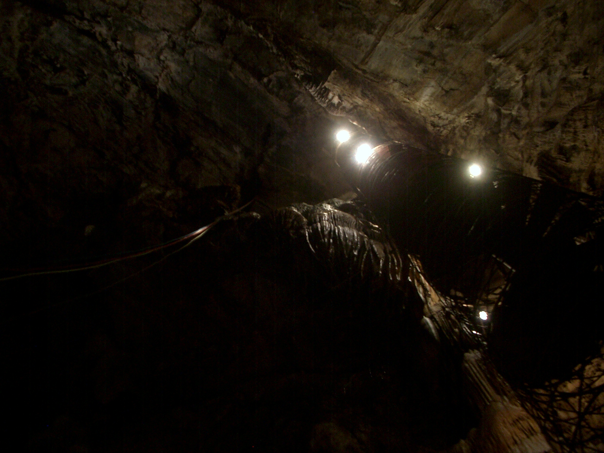
Moaning Cave Main Chamber 1
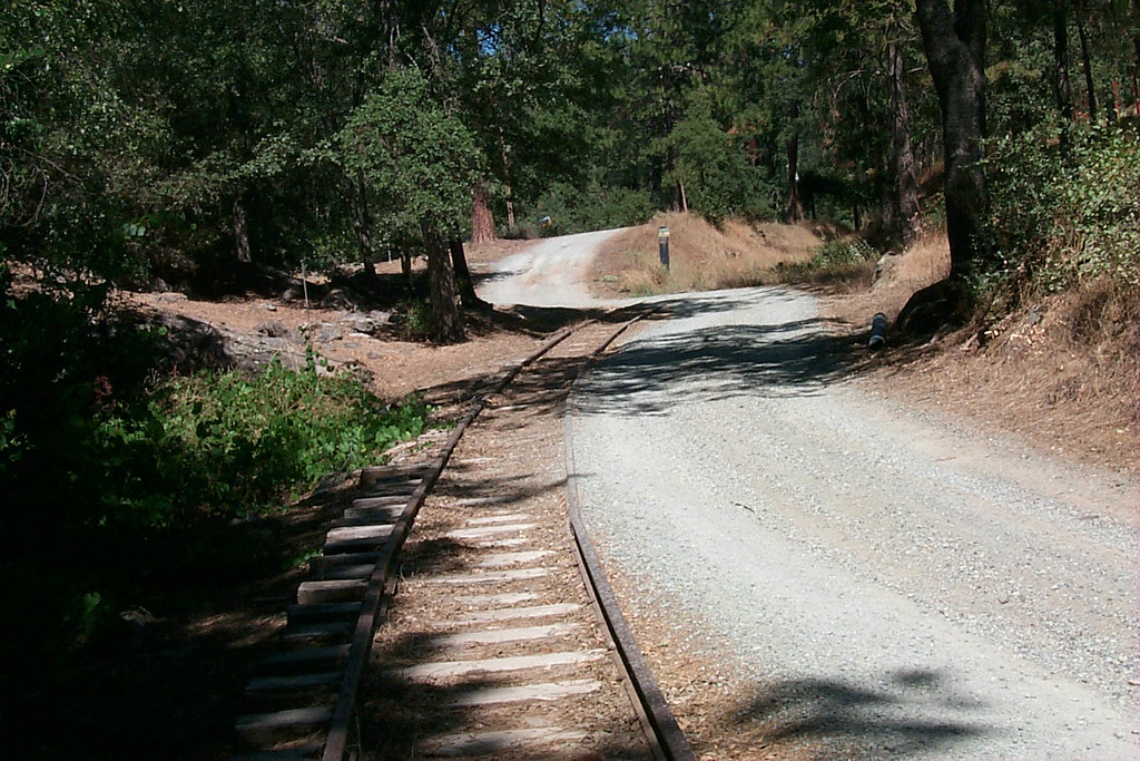
View along the trackbed
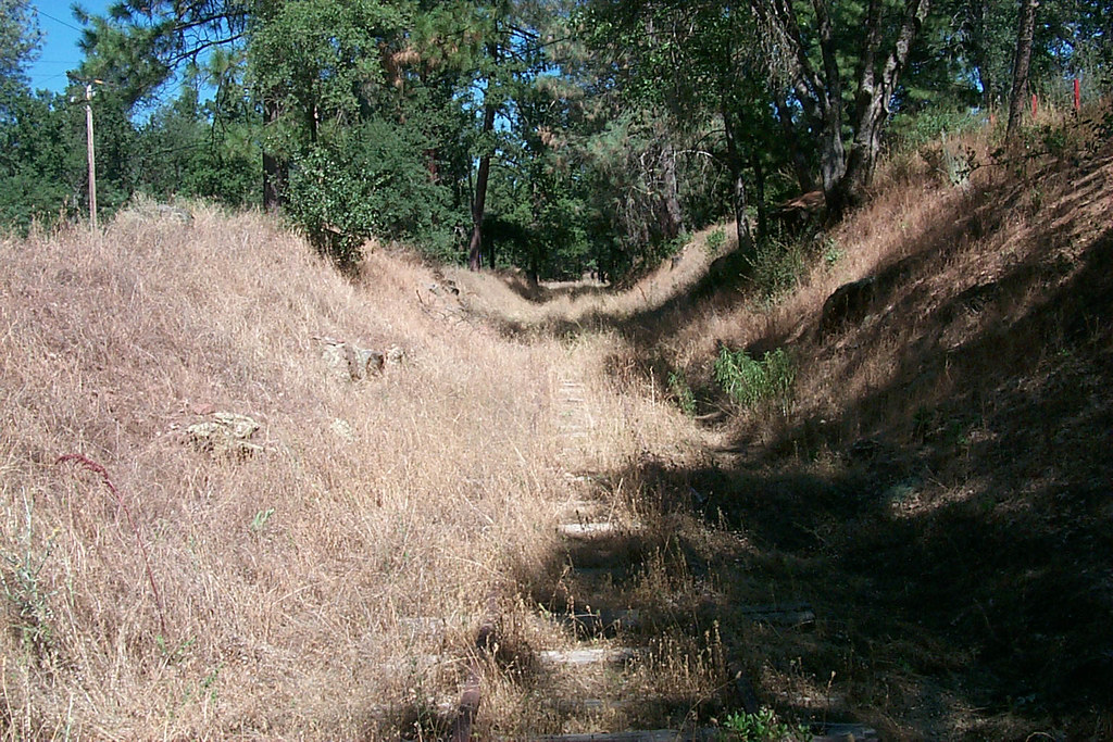
View along the trackbed
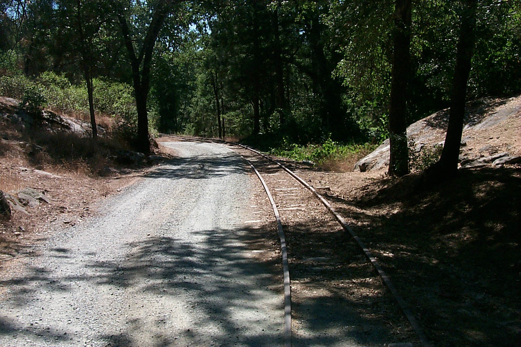
View along the trackbed
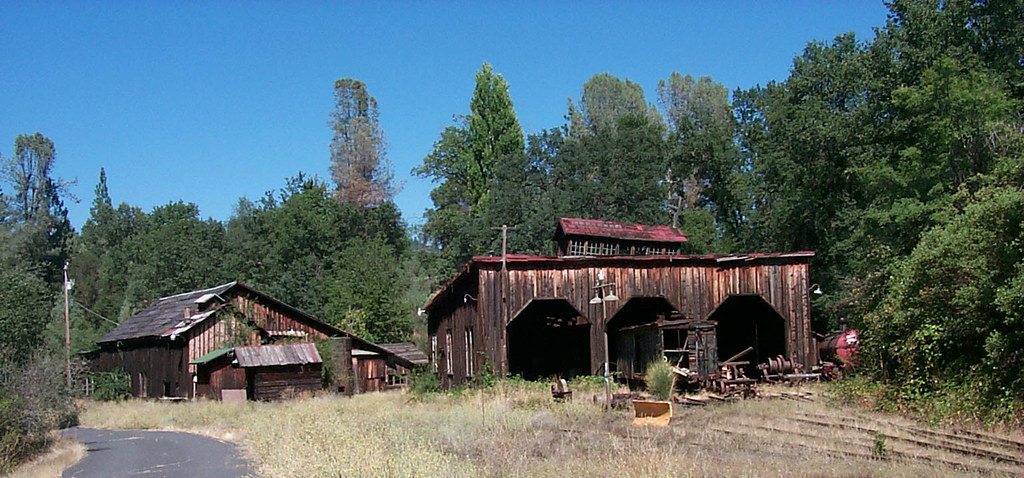
The shops from the south
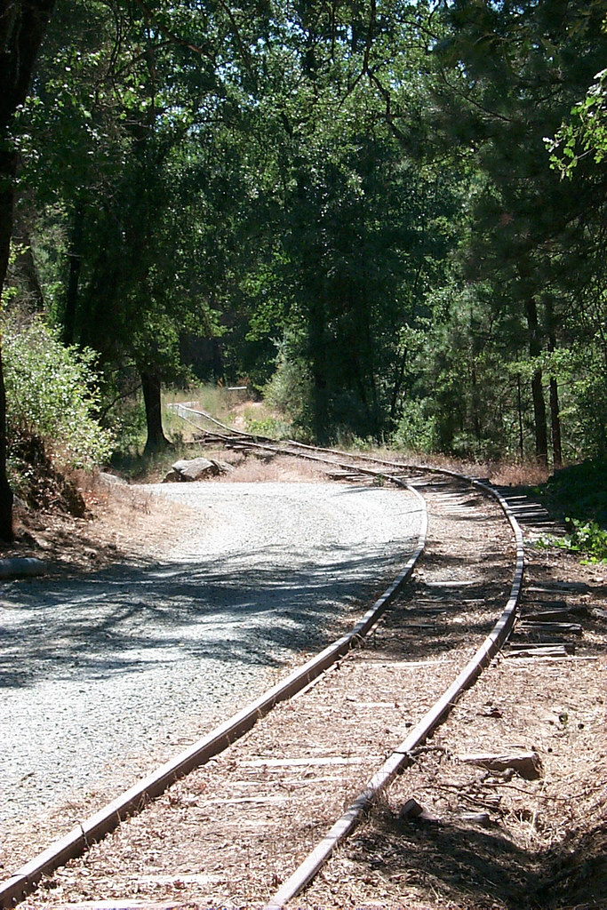
View along the trackbed
The View From Below

If only in b&w

View along the trackbed

Good Tuesday Morning! #morning #rural #bluesky #cloudporn #trees #green
Highway 49, California
Central-_Valley_CA_20150308-2838
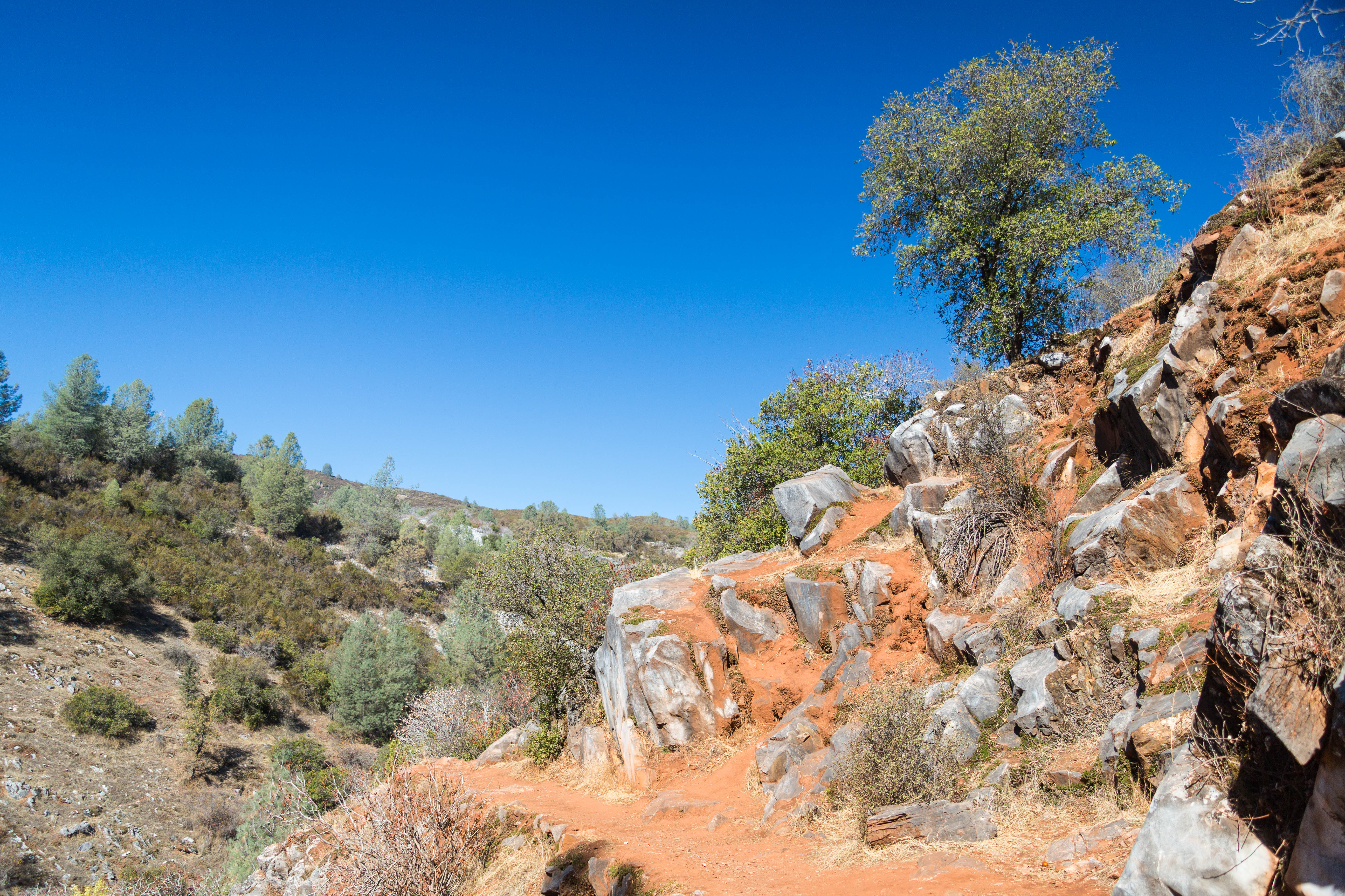
Trail to Natural Bridge
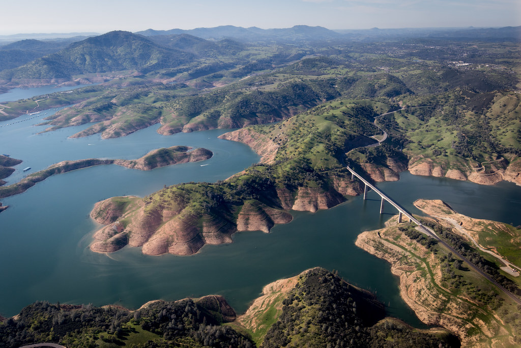
New Melones Near the Parrots Ferry Bridge

And Then Came The Wind - Highway 49 Bridge Across New Melones Reservoir - Sierra Nevada Mountains, California
California Retreet
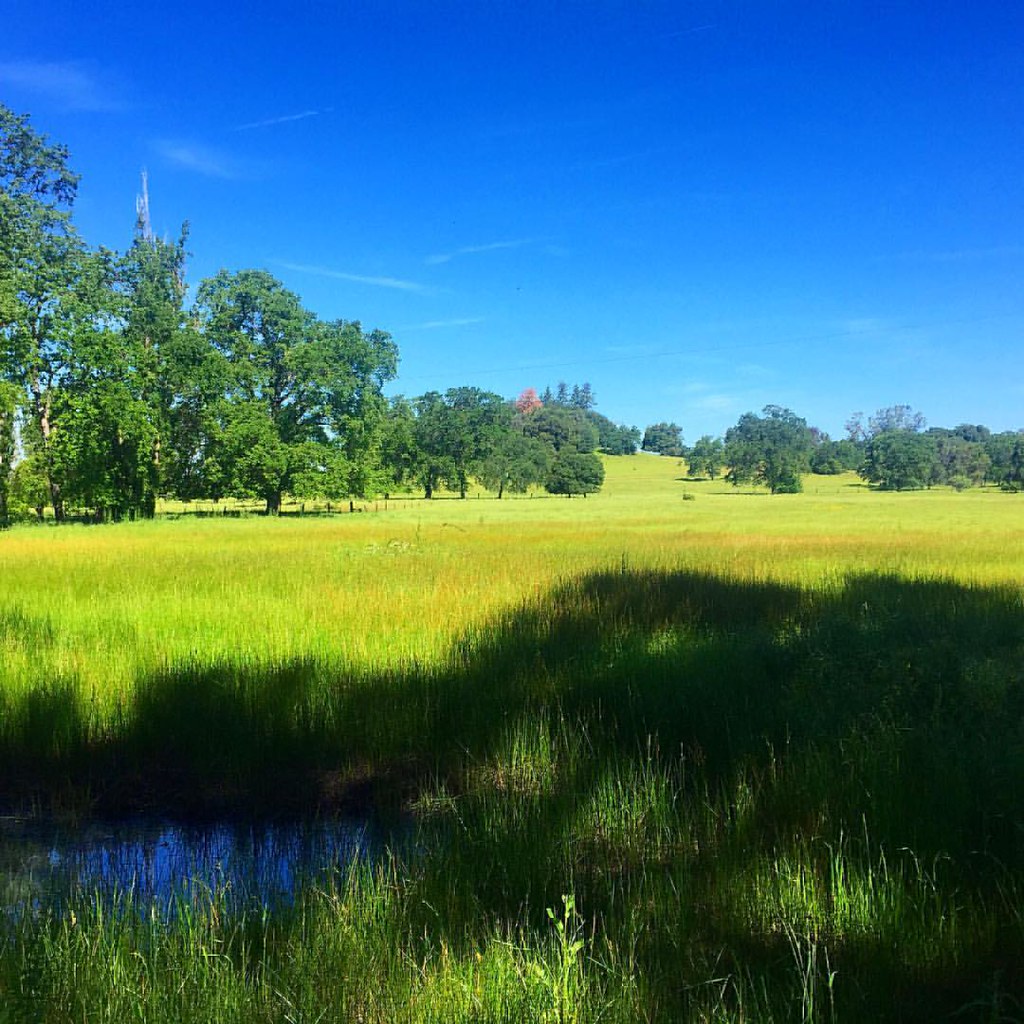
Out for a walk in my hood. #meadow #pasture #rural #grass #tree #green #blue

HPIM0164.jpg
#yosemite #roadtrip #usa
Melones Lake

California highway
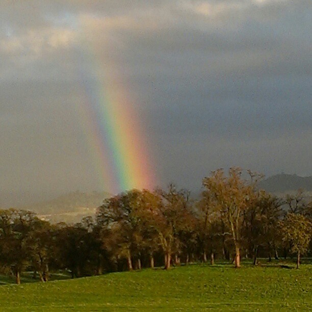
A Rainbow for you.
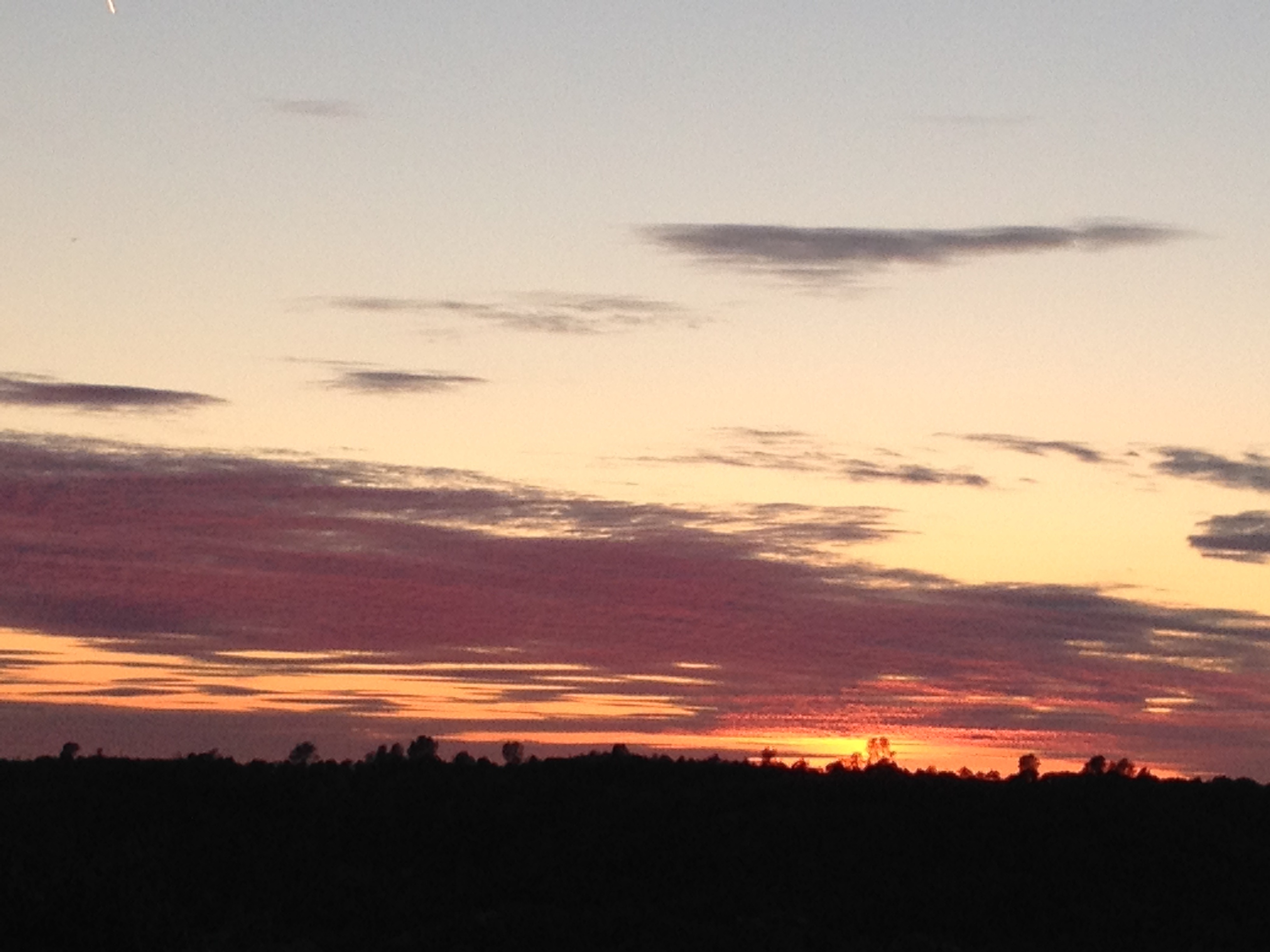
Sunset from Marilyn's
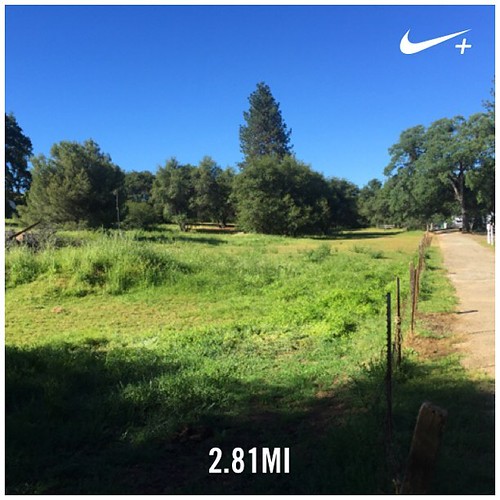
Country road. #nikeplus #rural #countryroad #jamestown #pasture #bluesky
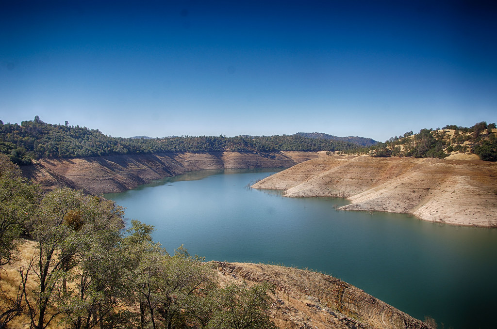
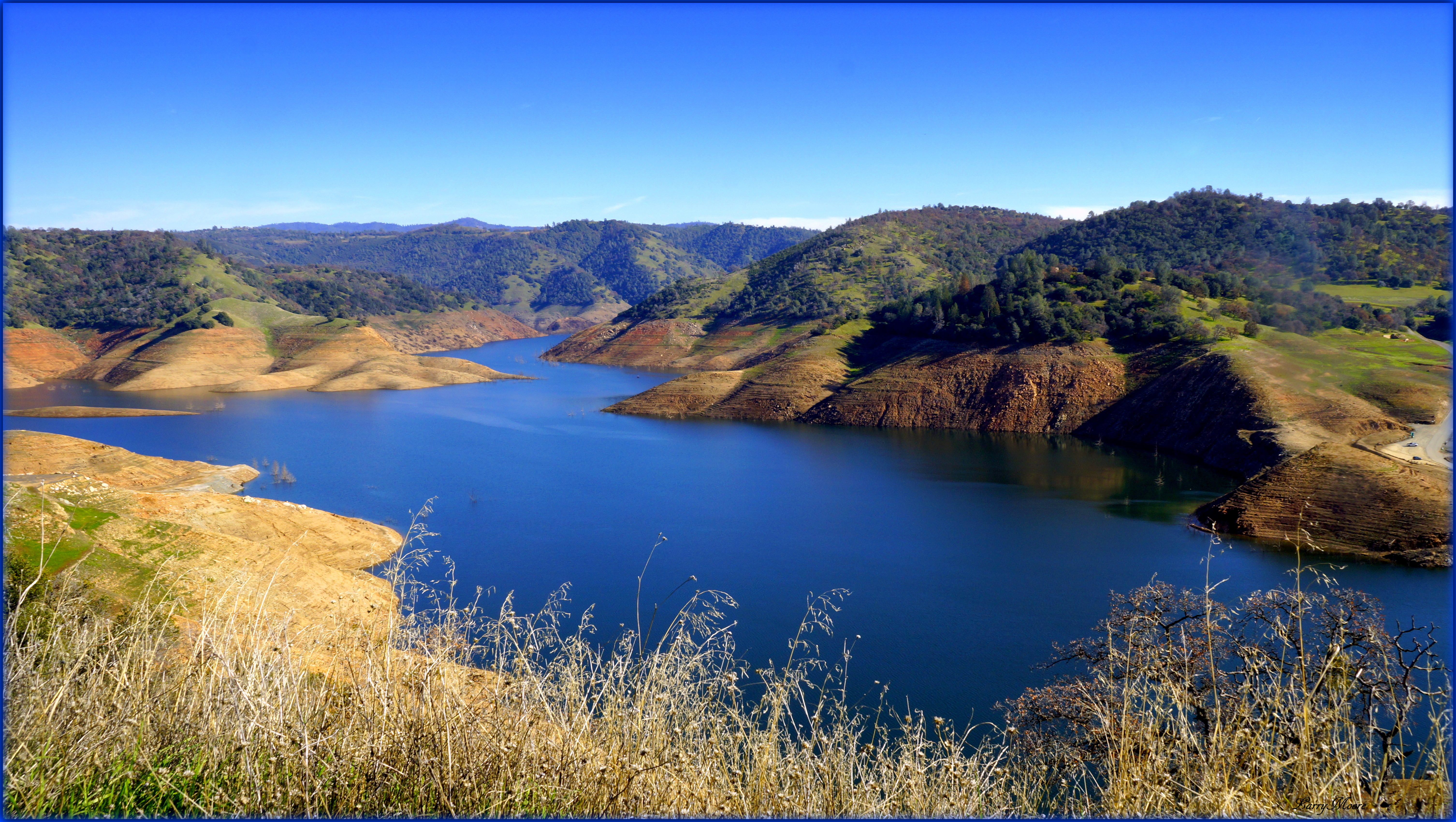
Upper New Melones Lake at Very Low Water
Last man standing
Cave entrance at the Natural Bridge of Calaveras County, Texas - natural15

Sept Evening
Topographic Map of Apple Hill Dr, Sonora, CA, USA
Find elevation by address:

Places near Apple Hill Dr, Sonora, CA, USA:
21276 Apple Valley Dr
13959 Stanton Cir
13959 Stanton Cir
14535 Lake Vista Dr
13990 Stanton Cir
20470 Sommette Dr
20380 Phoenix Lake Rd
Lyons Bald Mountain Road
20346 Brook Dr
20346 Brook Dr
20215 Phoenix Lake Rd
20800 Lyons Bald Mountain Rd
High Meadow Dr, Sonora, CA, USA
14610 Mono Way
19420 Hillsdale Dr
19428 Cordelia Ave
Stone Ln, Sonora, CA, USA
19180 Sunny Cir
Chukar Cir, Sonora, CA, USA
Sylva Lane
Recent Searches:
- Elevation of Slanický ostrov, 01 Námestovo, Slovakia
- Elevation of Spaceport America, Co Rd A, Truth or Consequences, NM, USA
- Elevation of Warwick, RI, USA
- Elevation of Fern Rd, Whitmore, CA, USA
- Elevation of 62 Abbey St, Marshfield, MA, USA
- Elevation of Fernwood, Bradenton, FL, USA
- Elevation of Felindre, Swansea SA5 7LU, UK
- Elevation of Leyte Industrial Development Estate, Isabel, Leyte, Philippines
- Elevation of W Granada St, Tampa, FL, USA
- Elevation of Pykes Down, Ivybridge PL21 0BY, UK