Elevation of Phoenix Lake Rd, Sonora, CA, USA
Location: United States > California > Tuolumne County > Sonora >
Longitude: -120.33031
Latitude: 37.989209
Elevation: 712m / 2336feet
Barometric Pressure: 93KPa
Elevation Map:
Satellite Map:
Related Photos:
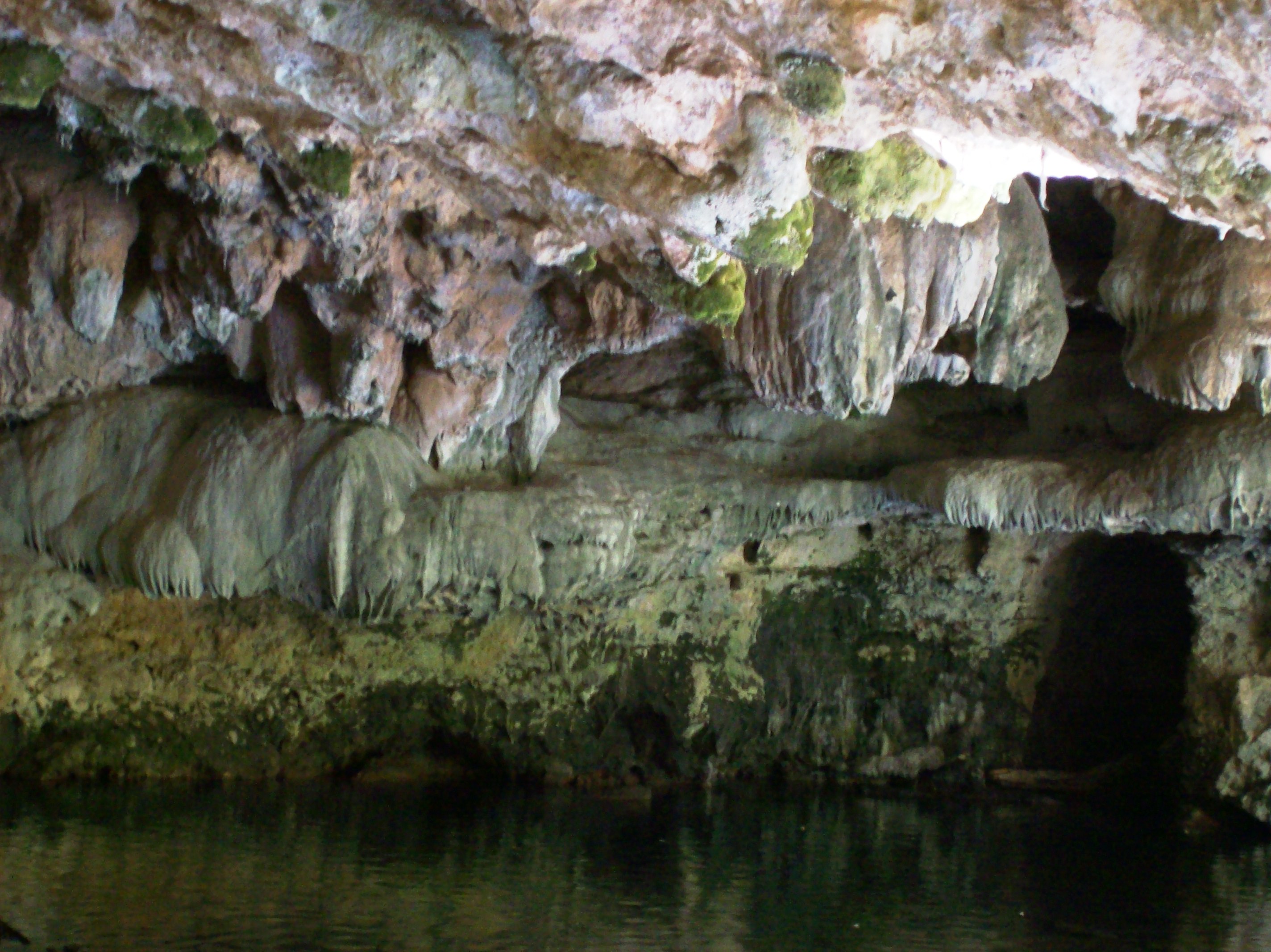
Stalagtites in the open-air entrance to the Natural Bridge at Calaveras County, CA - natural16

Bontrager Livestrong race preparation
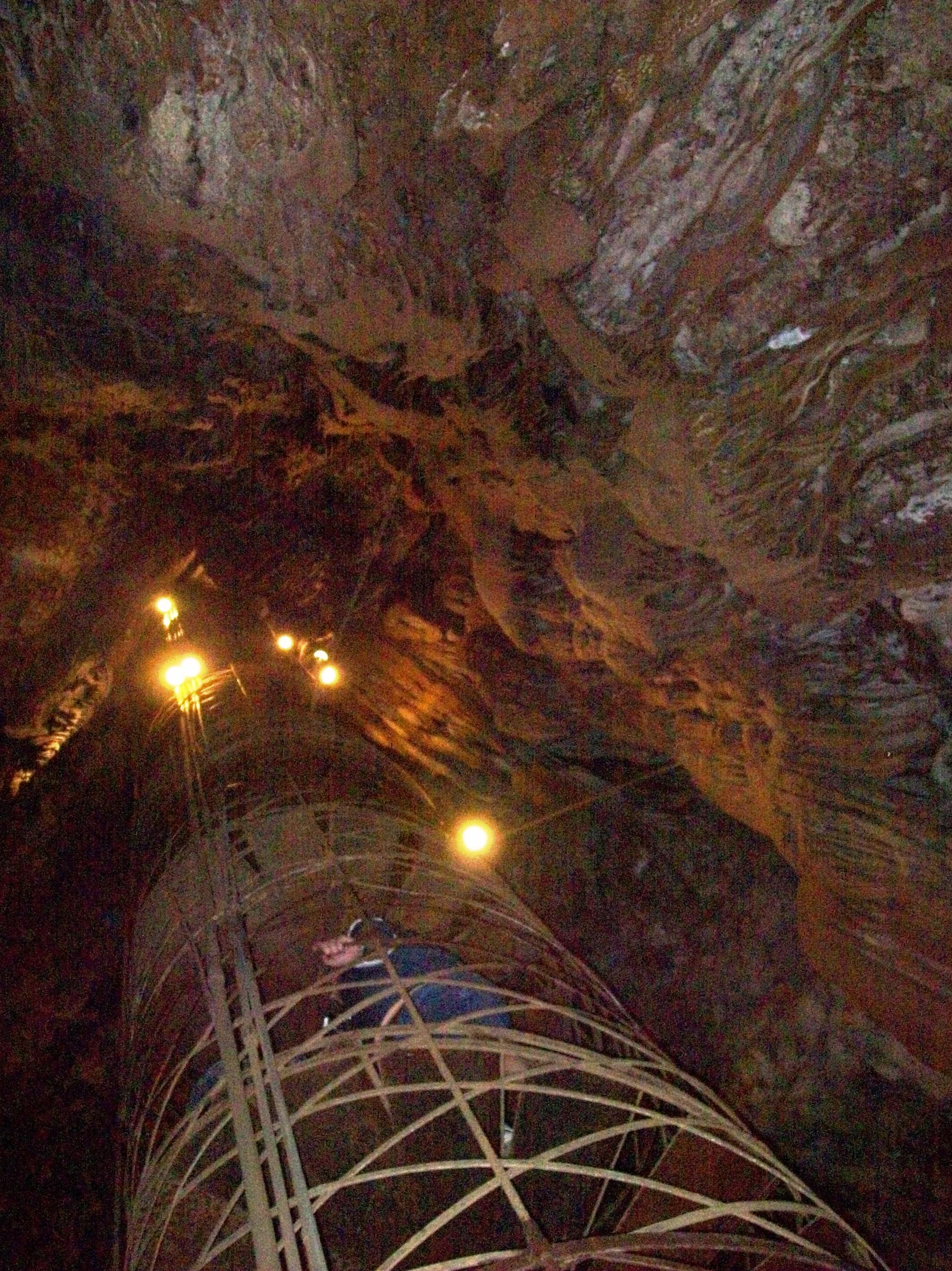
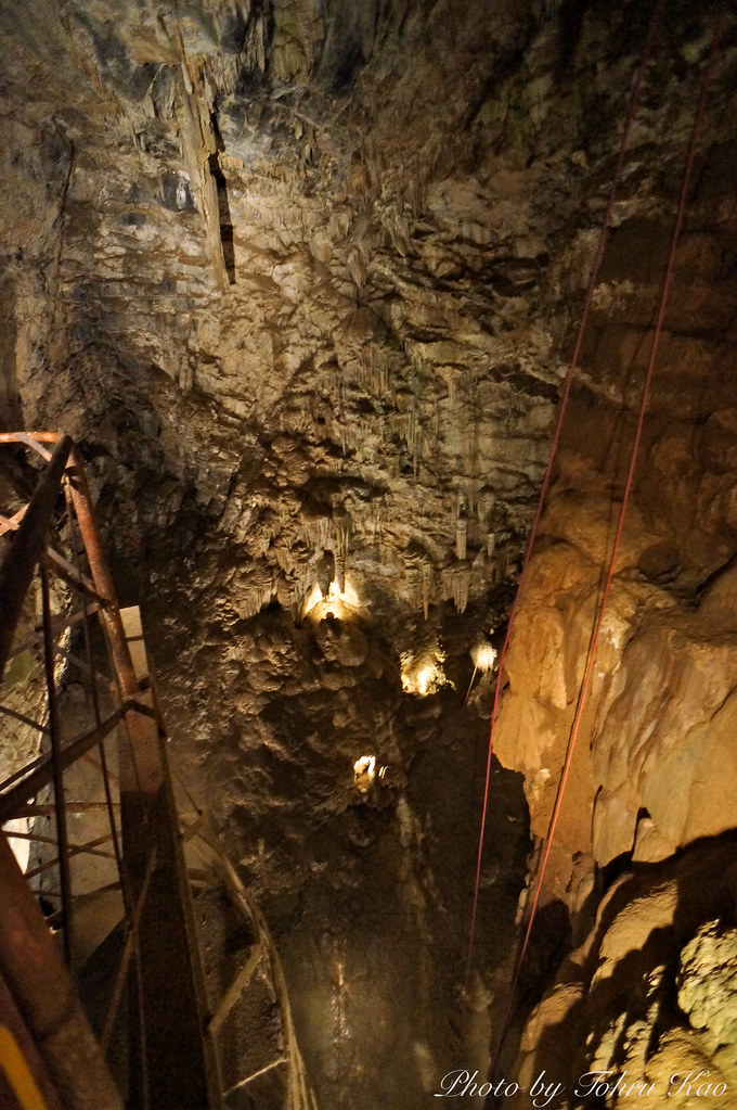
View up the spiral staircase leading to the bottom of Moaning Cavern, CA - moaning16

Best When Unexpected

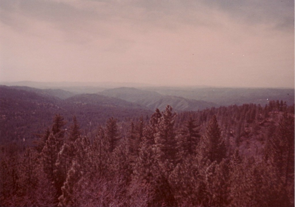
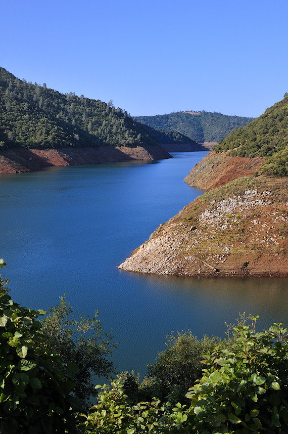
Lake Views
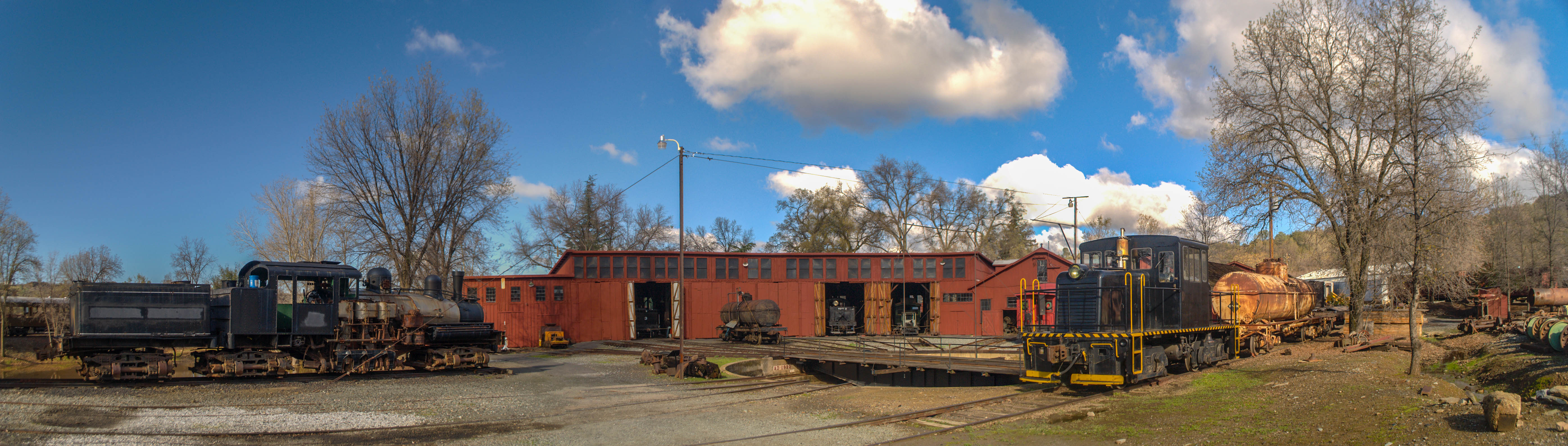
Sierra Railway Roundhouse (Panorama)
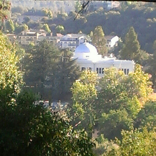
A Room with a view.

RV in Jamestowm
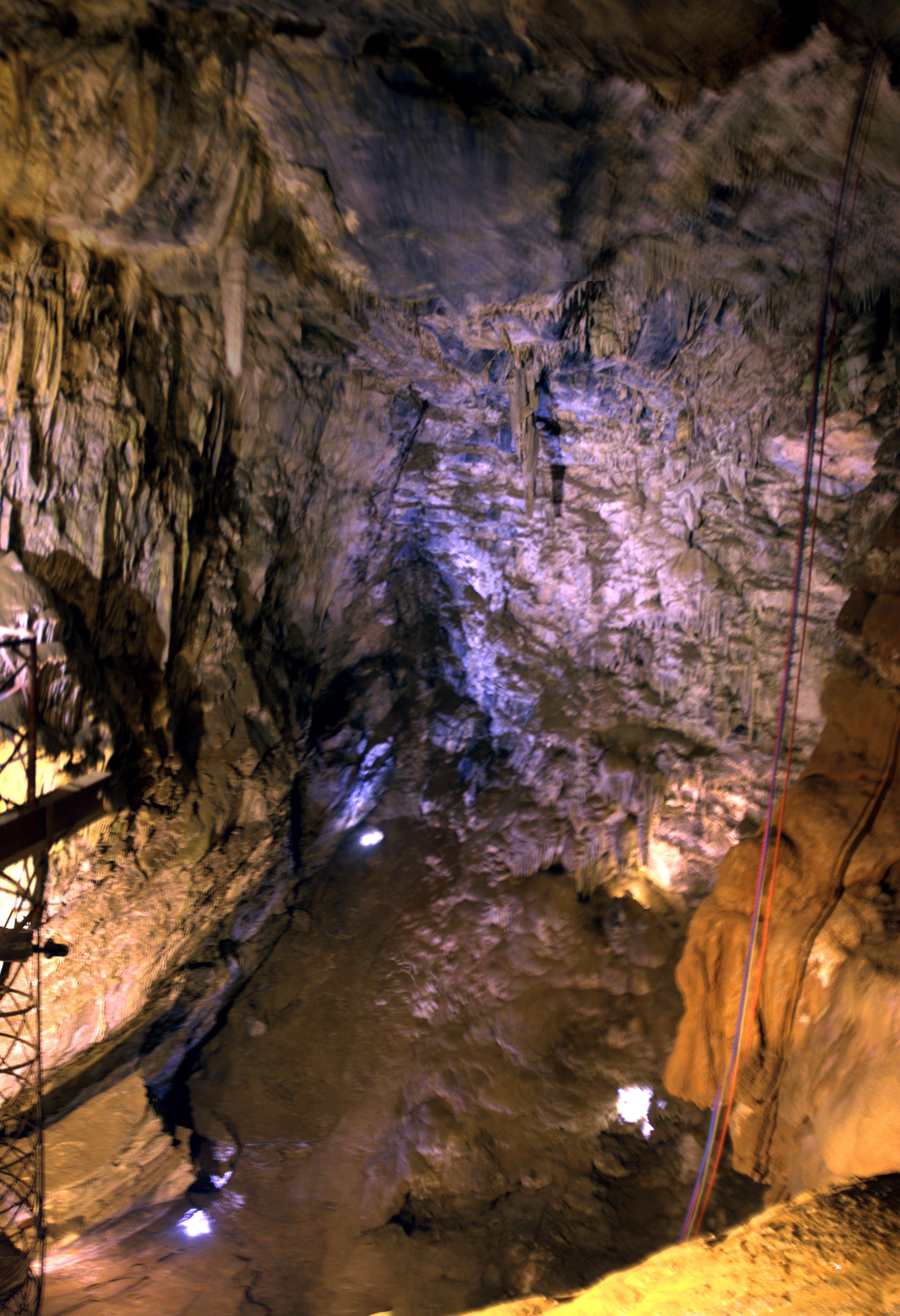
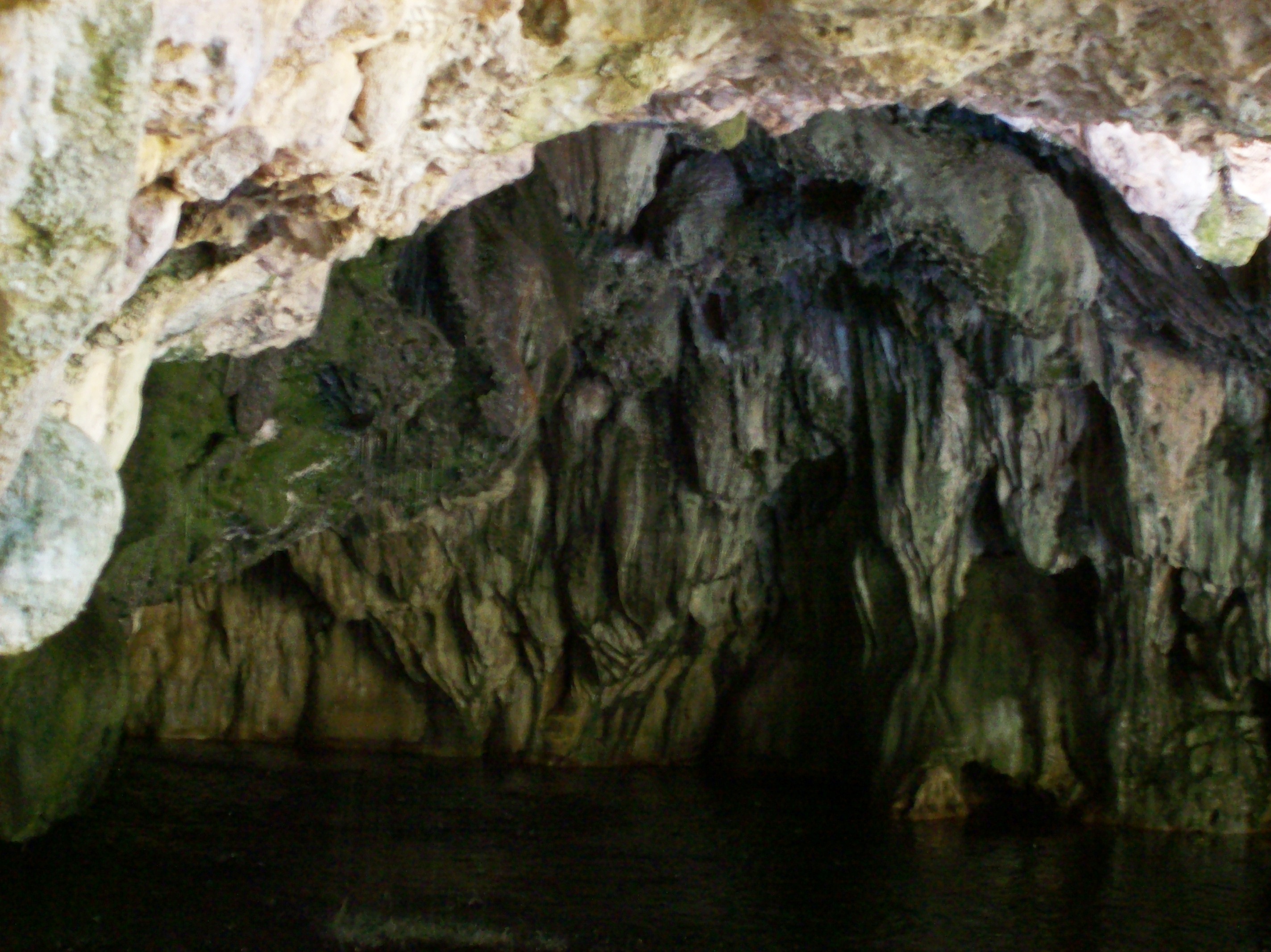
Moaning Cave Main Chamber 1
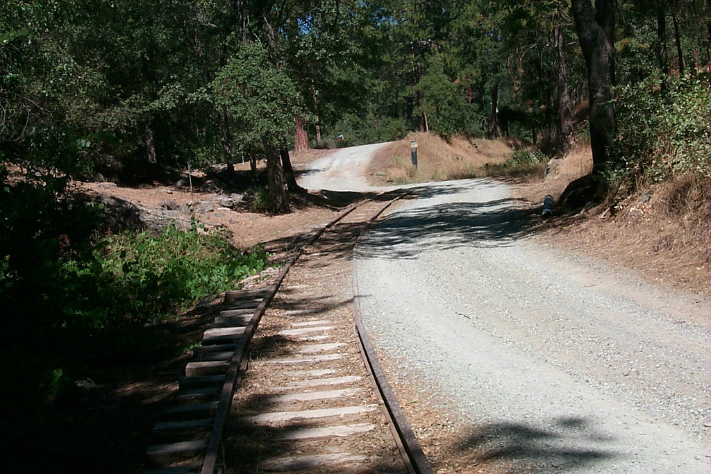
View along the trackbed
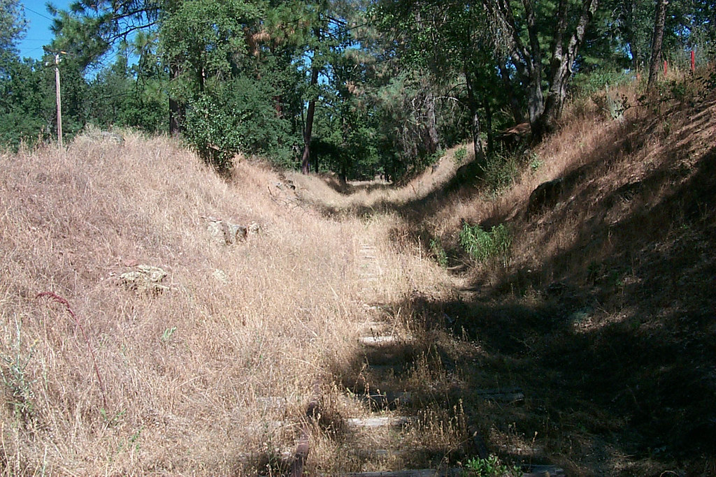
View along the trackbed
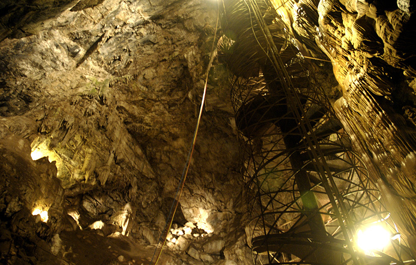
Moaning Cavern from the bottom.
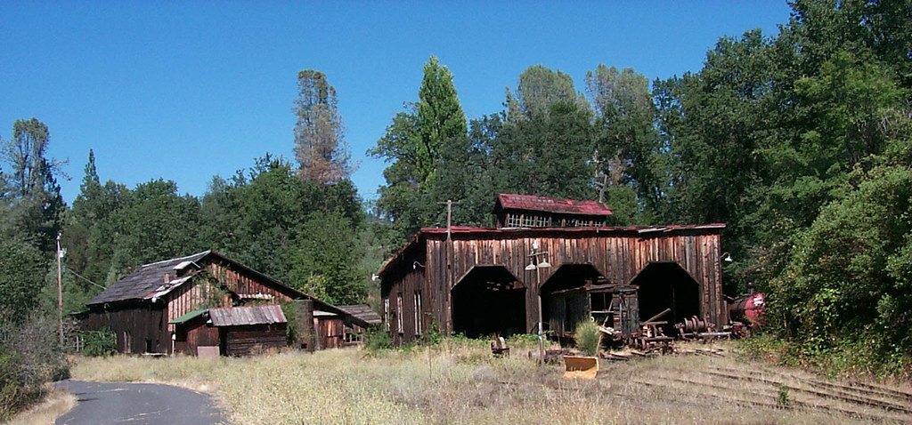
The shops from the south
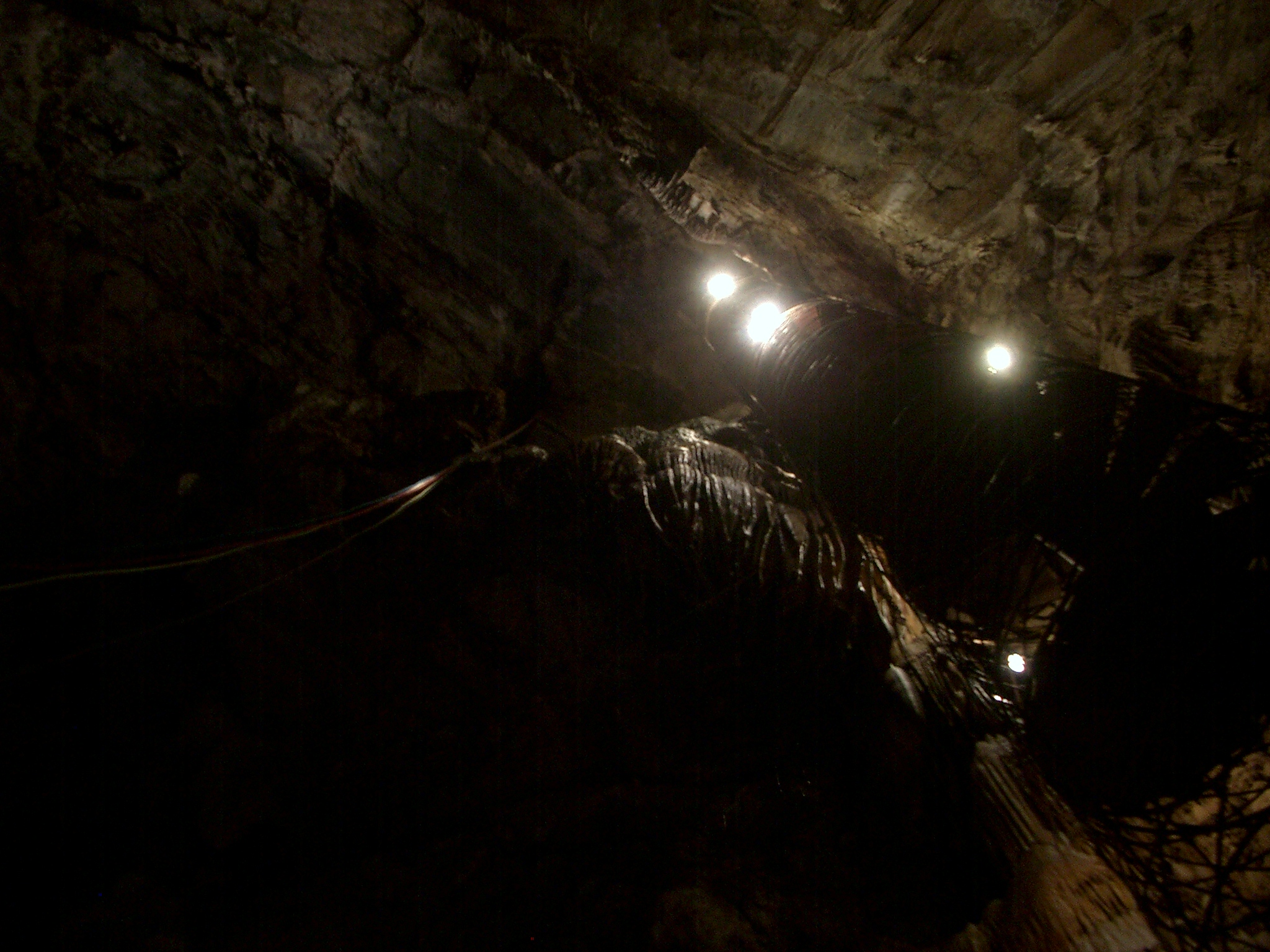
The View From Below

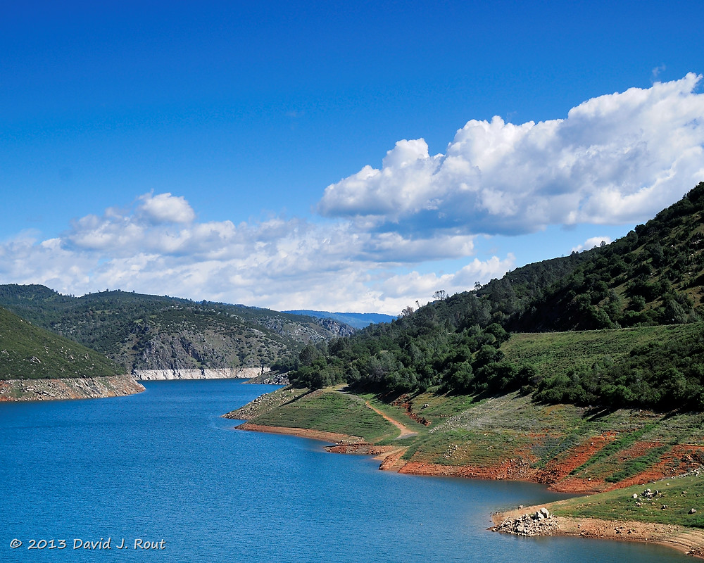
Lake Views

View along the trackbed

If only in b&w

Sanding tower
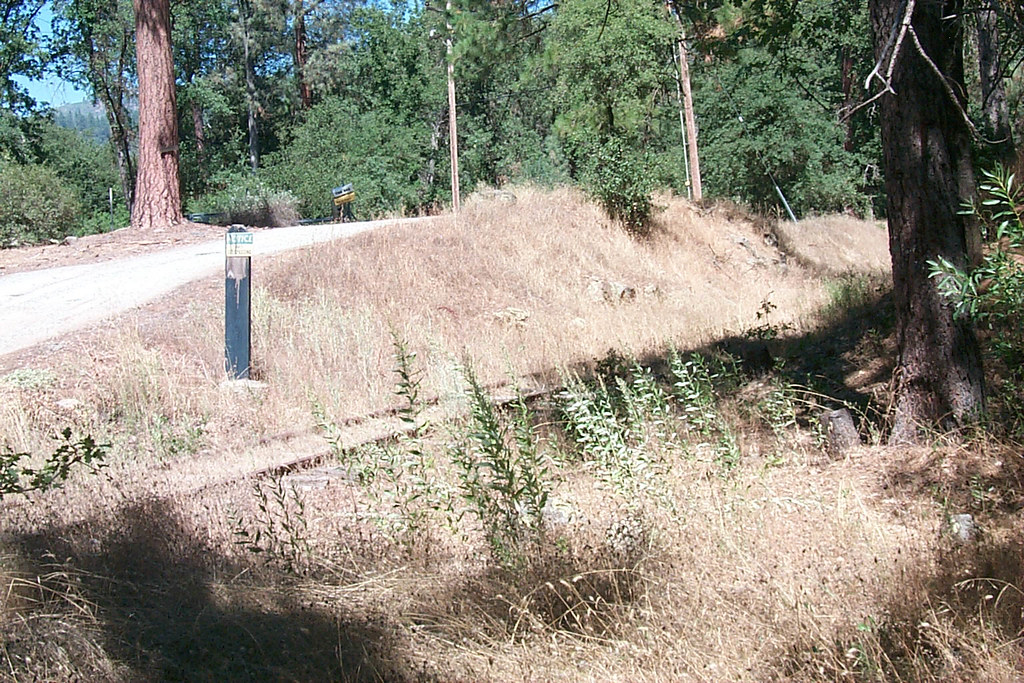
View along the trackbed
a1976-010

Occupational Olympics: Patterns In Architecture And Nature
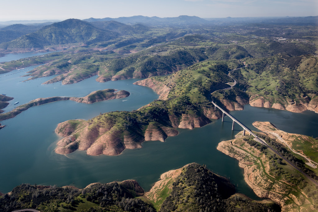
New Melones Near the Parrots Ferry Bridge
New Melones Lake

And Then Came The Wind - Highway 49 Bridge Across New Melones Reservoir - Sierra Nevada Mountains, California
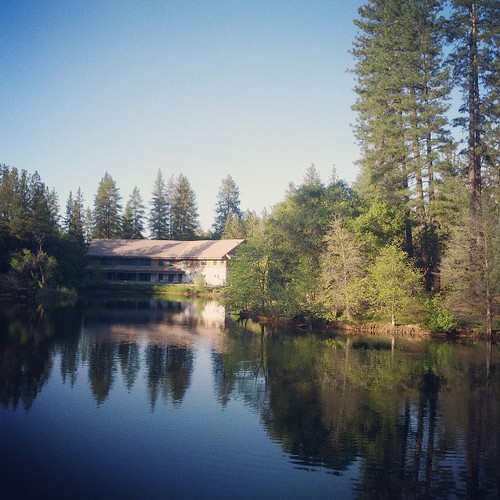
California Retreet

Moaning Cavern Park

HPIM0164.jpg
Camping and climbing

California highway
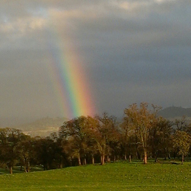
A Rainbow for you.
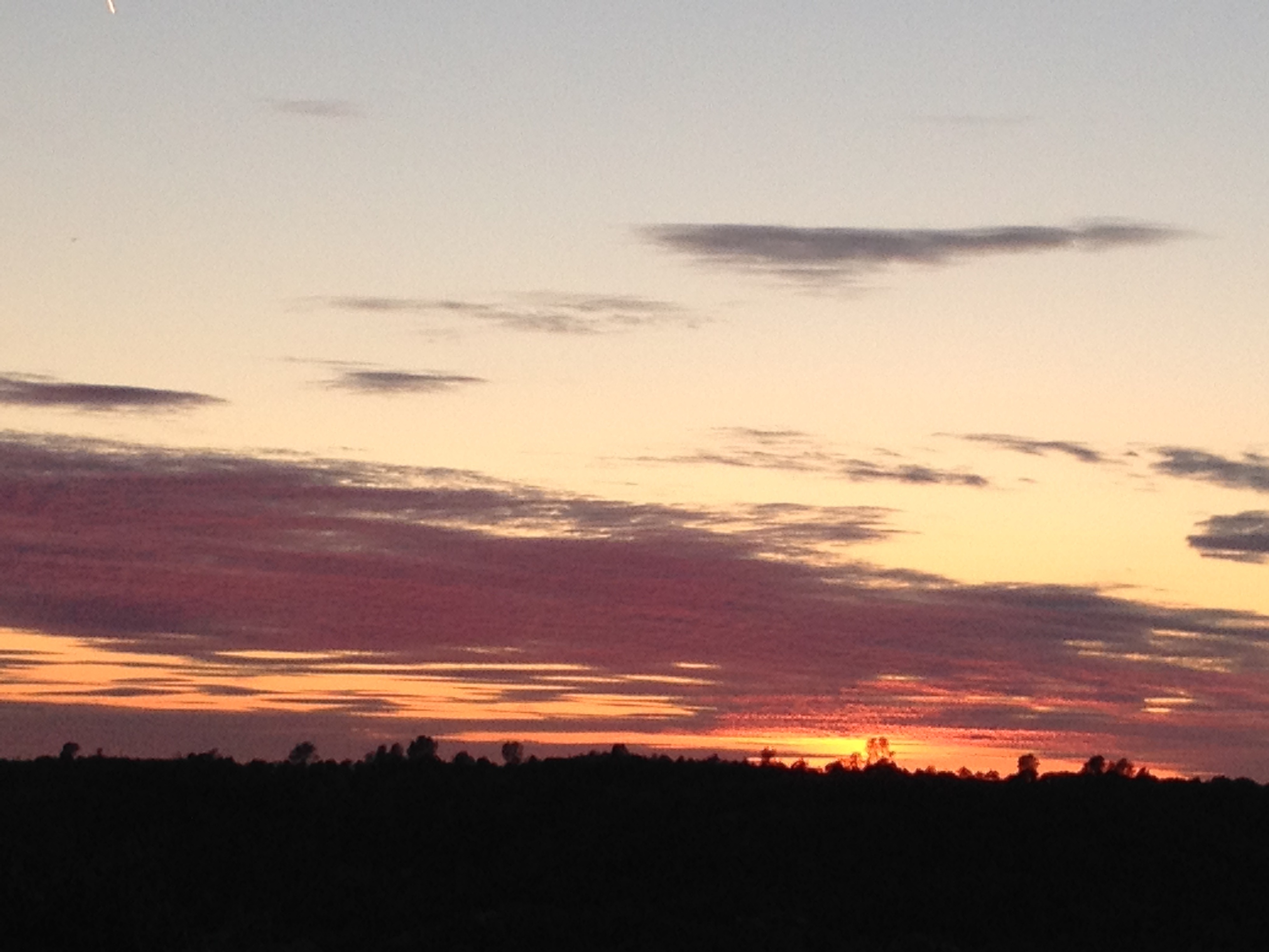
Sunset from Marilyn's

Moaning Cavern Park
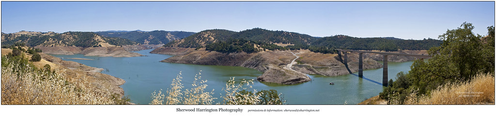
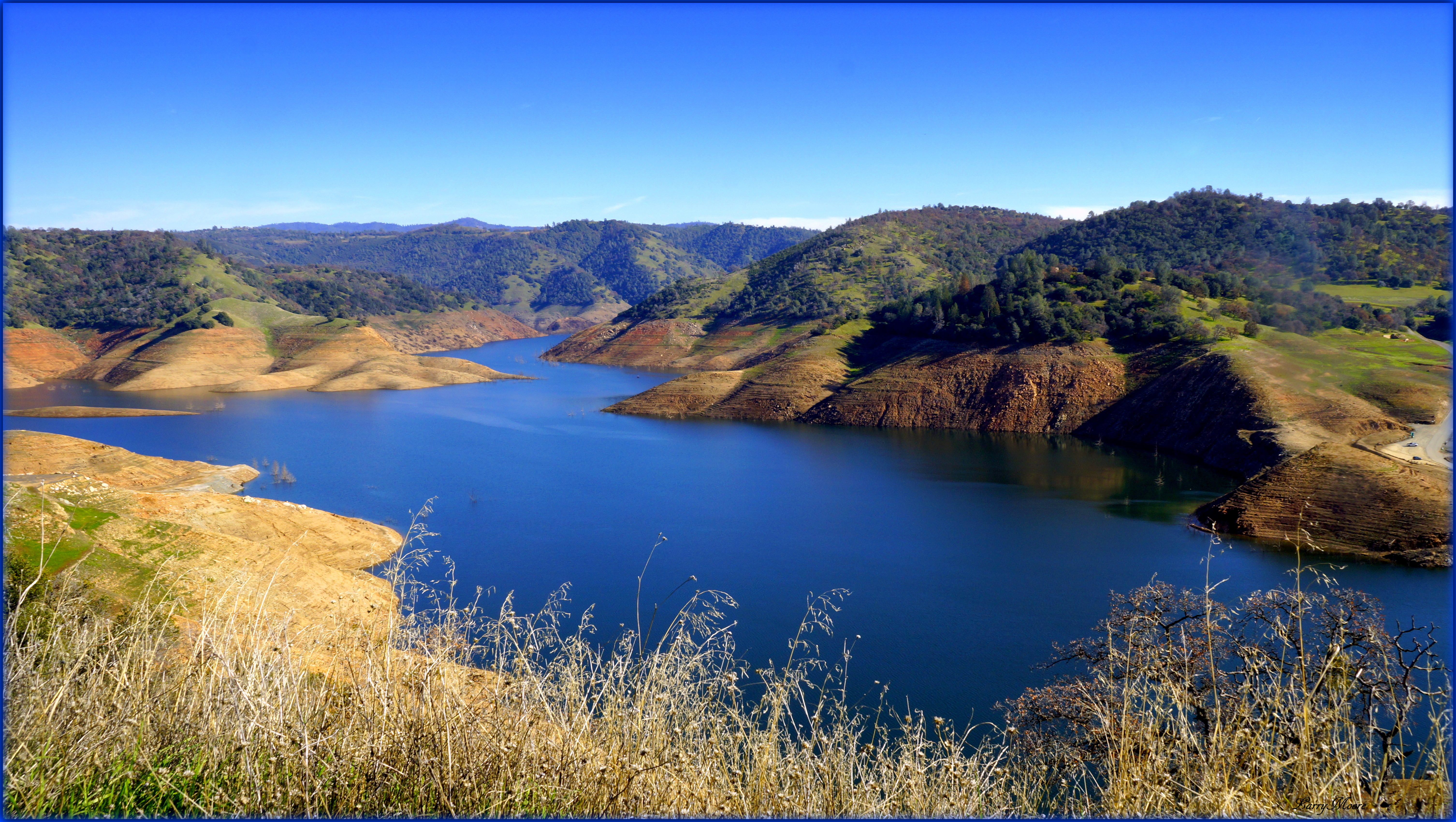
Upper New Melones Lake at Very Low Water
Moaning Cavern Park
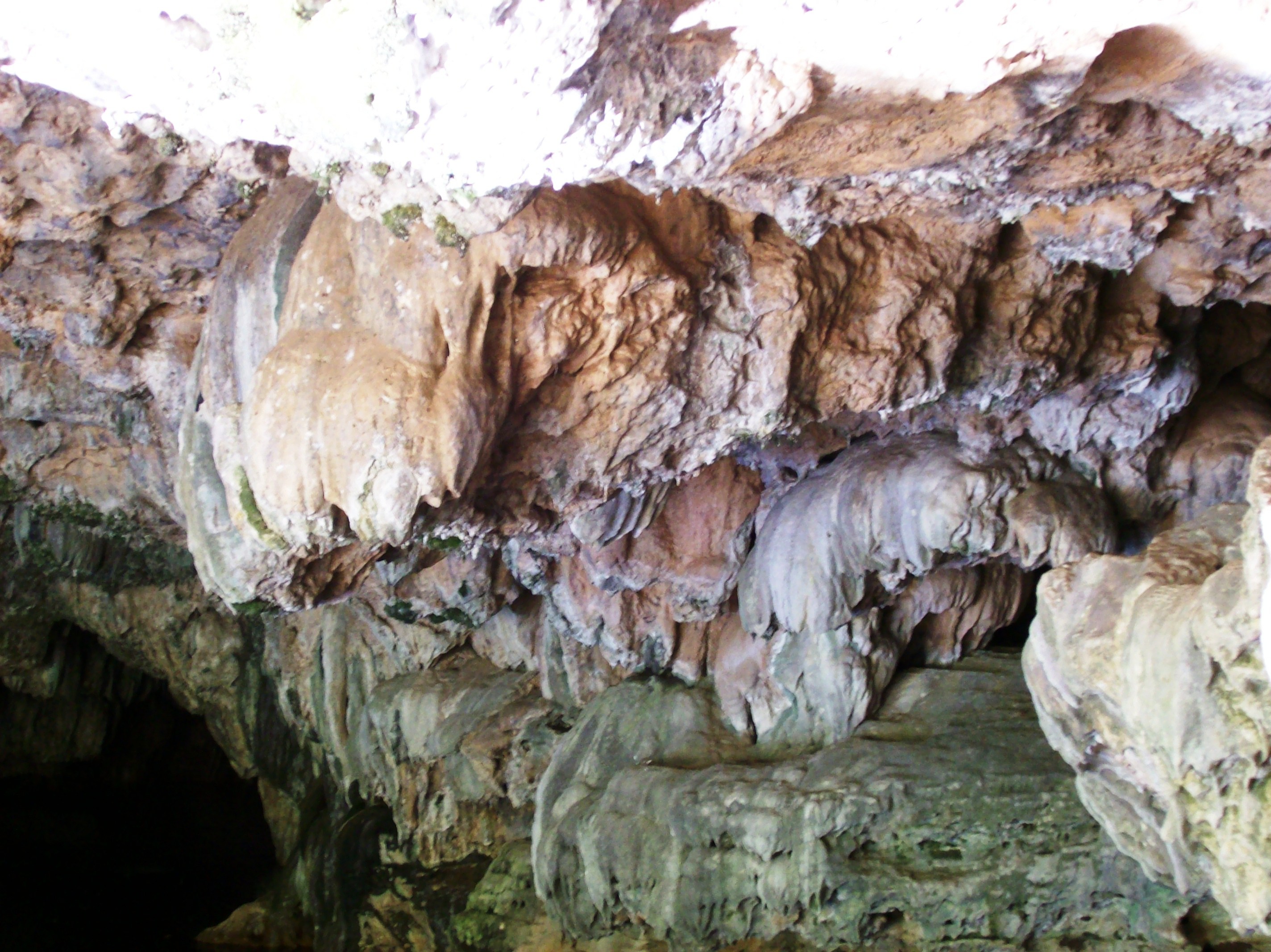
Some worn limestone formations at the entrance to the Natural Bridge Trail in Calaveras County (natural22)
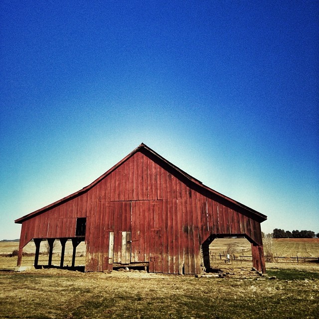
Last man standing
Central-_Valley_CA_20150308-2838
Cave entrance at the Natural Bridge of Calaveras County, Texas - natural15

20090405_Gold Wall_0391
ATR20130217-1531-074

Sept Evening
Topographic Map of Phoenix Lake Rd, Sonora, CA, USA
Find elevation by address:

Places near Phoenix Lake Rd, Sonora, CA, USA:
20380 Phoenix Lake Rd
20346 Brook Dr
20346 Brook Dr
20470 Sommette Dr
14535 Lake Vista Dr
14610 Mono Way
13959 Stanton Cir
13959 Stanton Cir
19420 Hillsdale Dr
13990 Stanton Cir
19428 Cordelia Ave
Stone Ln, Sonora, CA, USA
High Meadow Dr, Sonora, CA, USA
19180 Sunny Cir
21276 Apple Valley Dr
Apple Hill Dr, Sonora, CA, USA
Lyons Bald Mountain Road
20800 Lyons Bald Mountain Rd
Sylva Lane
Fir Dr, Sonora, CA, USA
Recent Searches:
- Elevation of Felindre, Swansea SA5 7LU, UK
- Elevation of Leyte Industrial Development Estate, Isabel, Leyte, Philippines
- Elevation of W Granada St, Tampa, FL, USA
- Elevation of Pykes Down, Ivybridge PL21 0BY, UK
- Elevation of Jalan Senandin, Lutong, Miri, Sarawak, Malaysia
- Elevation of Bilohirs'k
- Elevation of 30 Oak Lawn Dr, Barkhamsted, CT, USA
- Elevation of Luther Road, Luther Rd, Auburn, CA, USA
- Elevation of Unnamed Road, Respublika Severnaya Osetiya — Alaniya, Russia
- Elevation of Verkhny Fiagdon, North Ossetia–Alania Republic, Russia