Elevation of El Oso Way, Phoenix Lake-Cedar Ridge, CA, USA
Location: United States > California > Tuolumne County > Sonora >
Longitude: -120.30717
Latitude: 38.0174815
Elevation: 823m / 2700feet
Barometric Pressure: 92KPa
Elevation Map:
Satellite Map:
Related Photos:

Sierra #3 engine
Stalagtites in the open-air entrance to the Natural Bridge at Calaveras County, CA - natural16
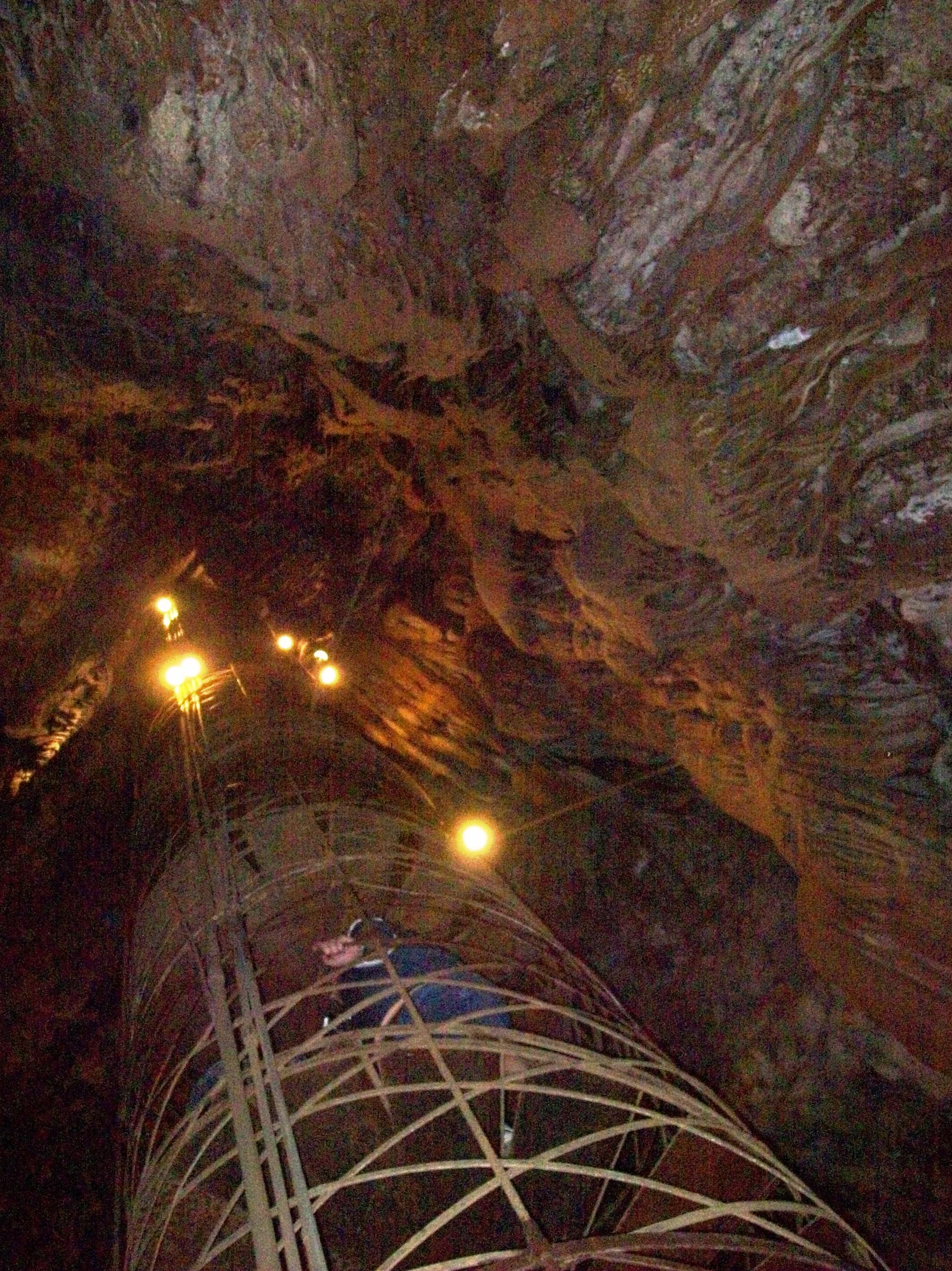
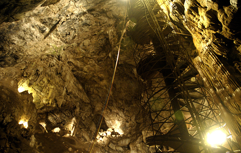
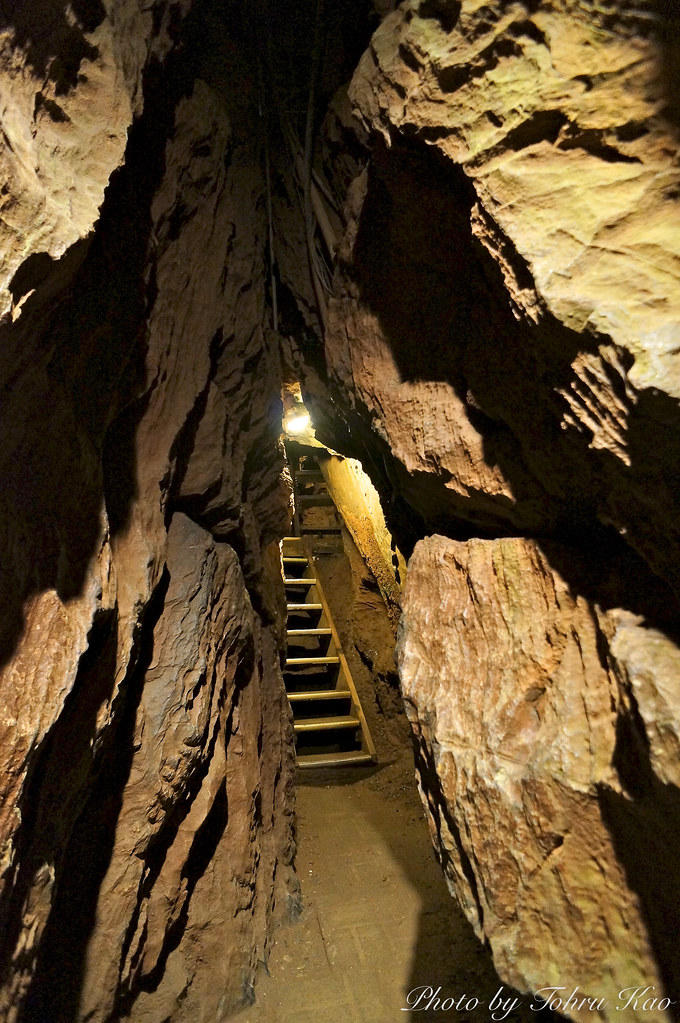
View up the spiral staircase leading to the bottom of Moaning Cavern, CA - moaning16

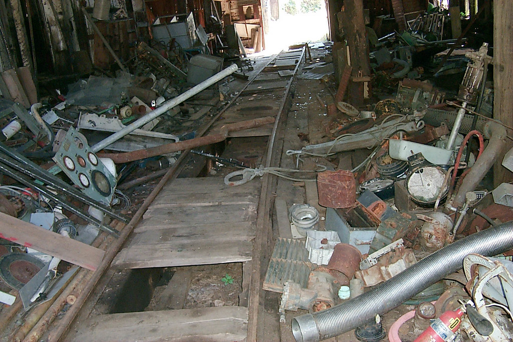
View along the trackbed
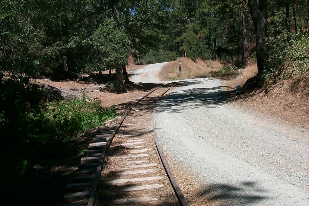
View along the trackbed
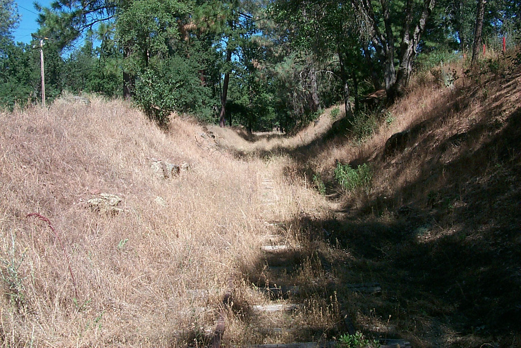
View along the trackbed

Sanding tower
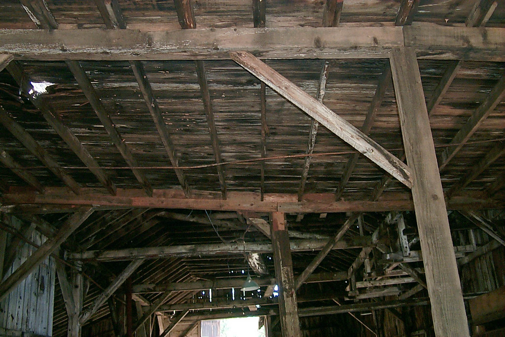
Underside of the shed roof
A Room with a view.
Moaning Cavern from the bottom.
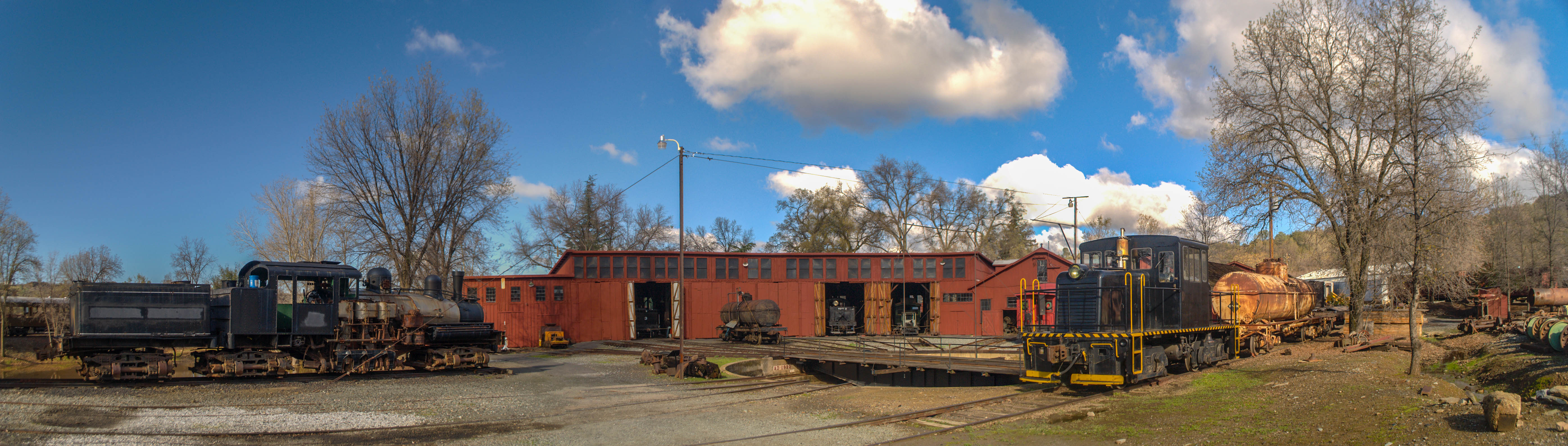
Sierra Railway Roundhouse (Panorama)
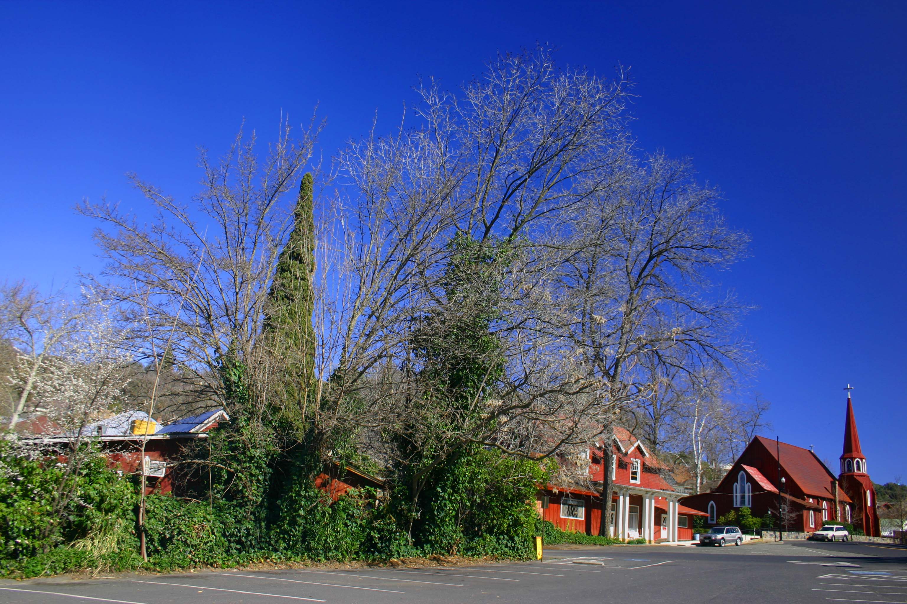
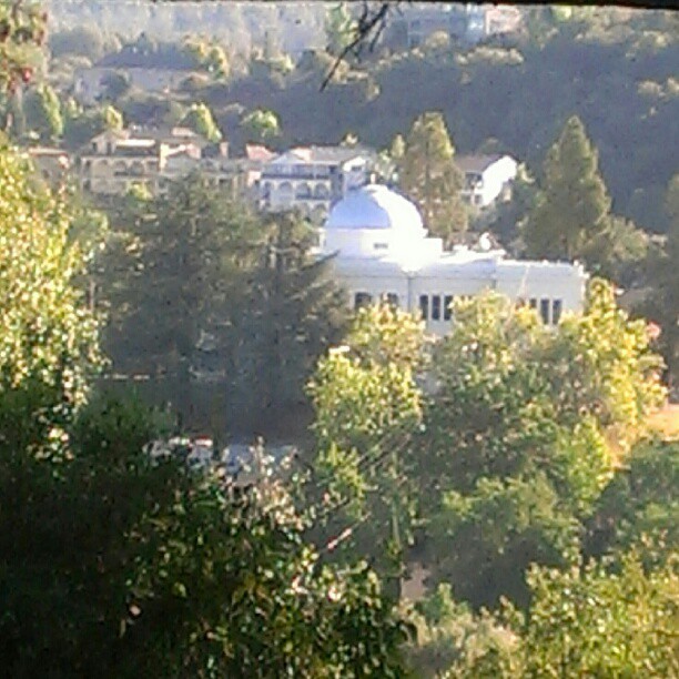
The Red Church
The View From Below

Occupational Olympics: Patterns In Architecture And Nature
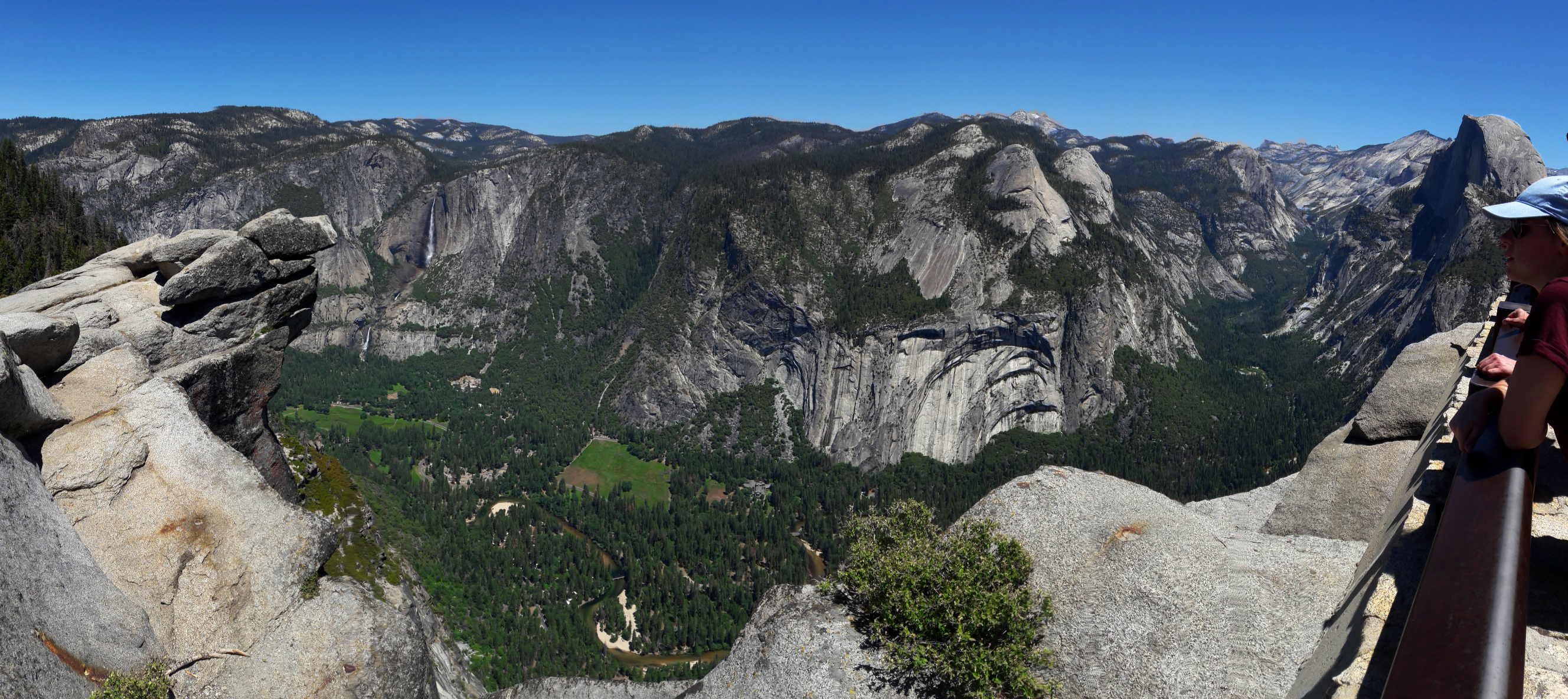
Yosemite Glacier Point View
Charming View
View along the trackbed
Smew - male
a1976-010
Wells Fargo Express Buildings
Floor of the car shop
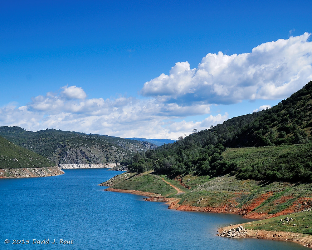
New Melones Lake
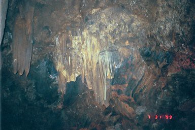
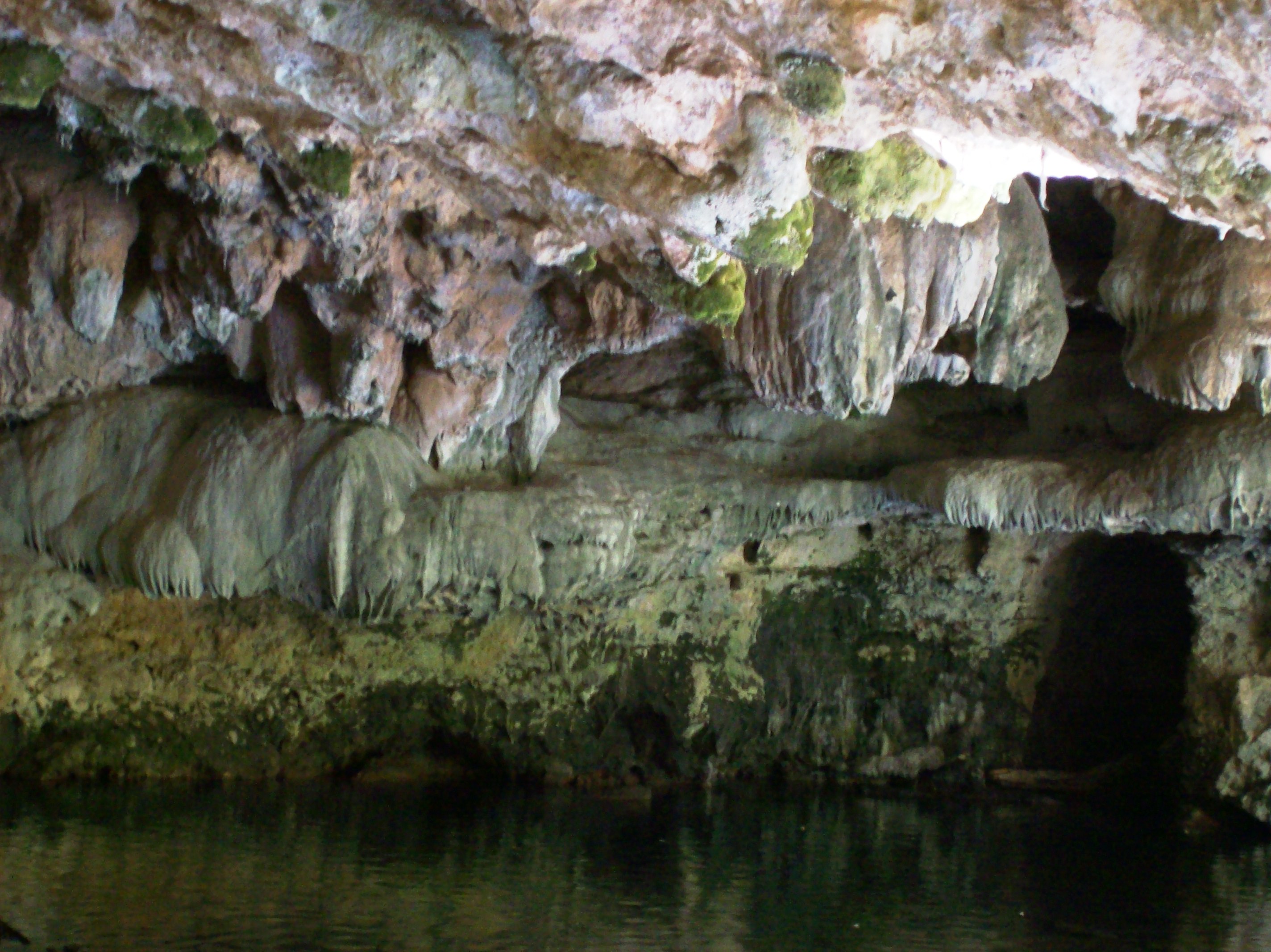
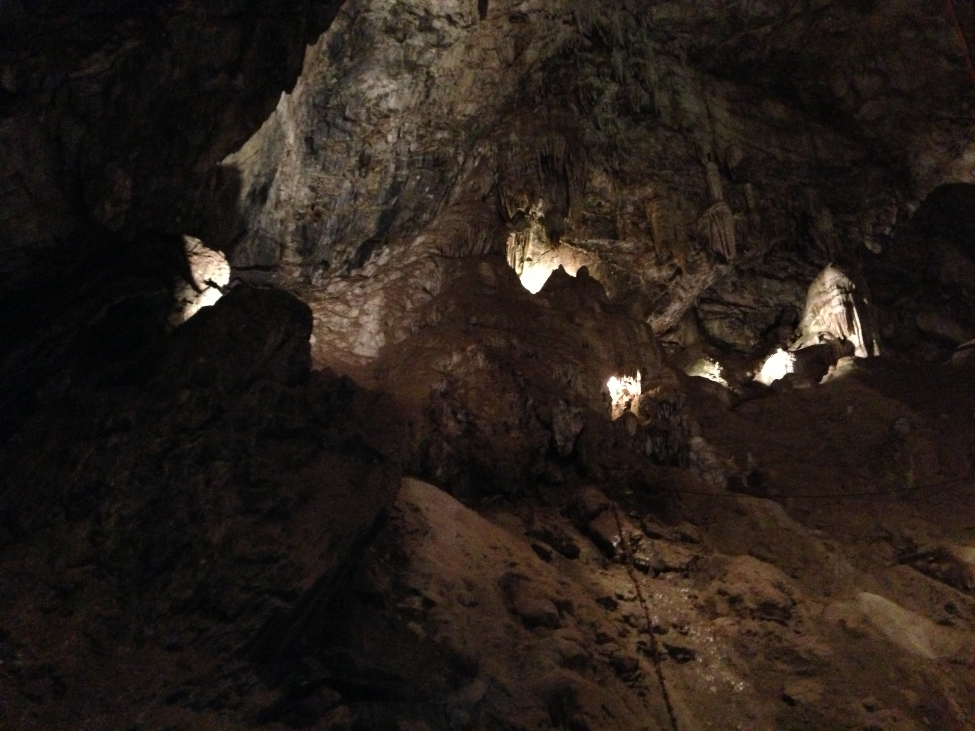
Moaning Caverns - Formations 7
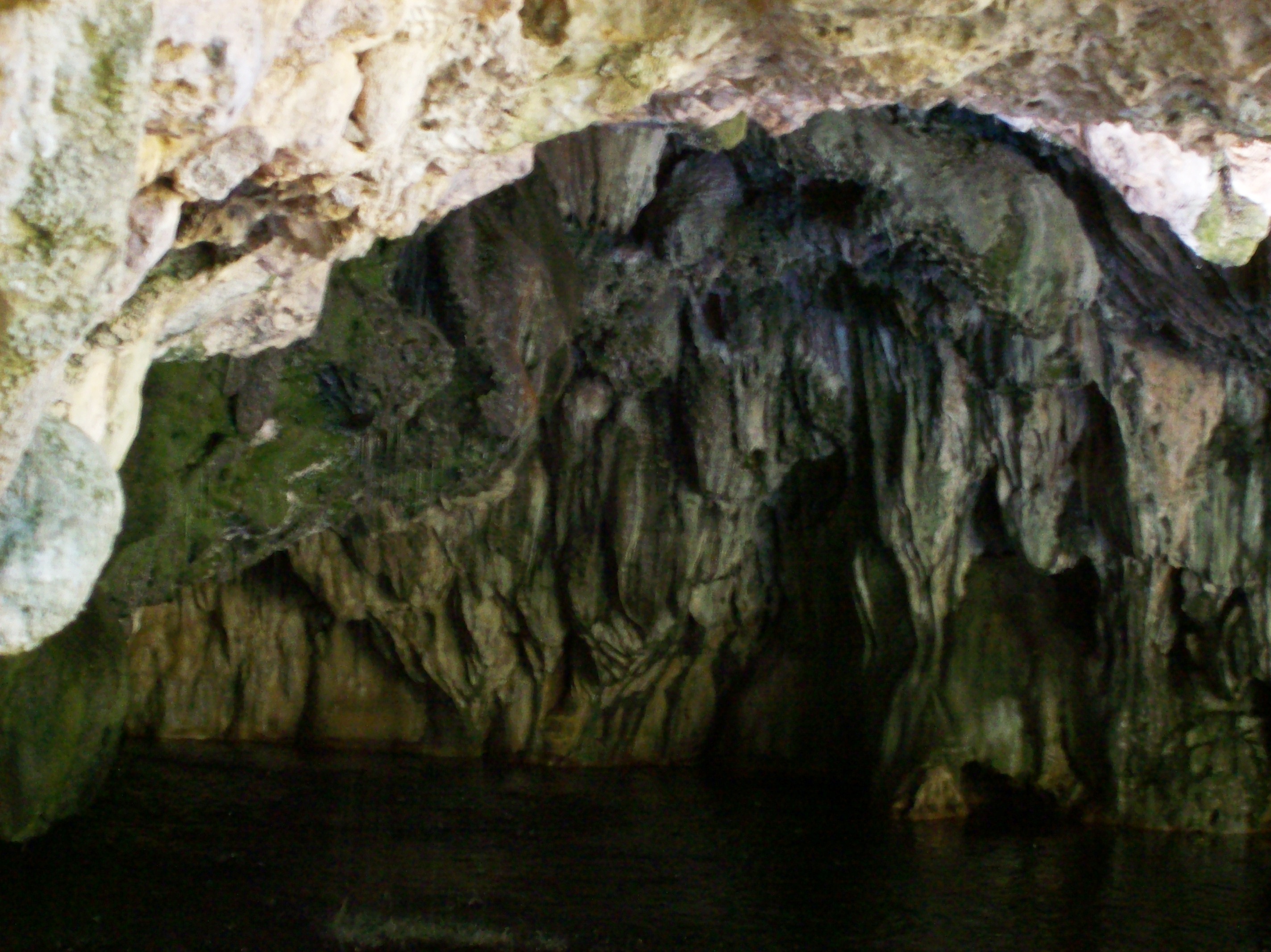
Cave entrance at the Natural Bridge of Calaveras County, Texas - natural15
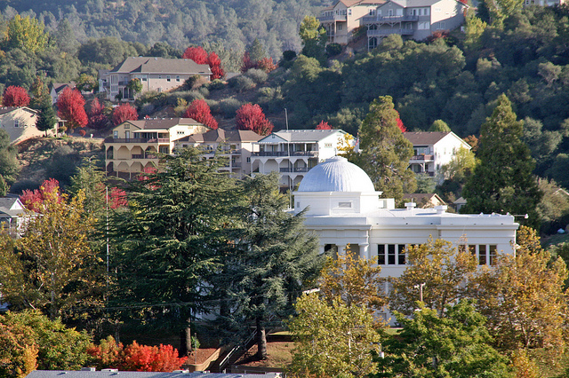
Columbia, California
2018 Presidents Day Weekend Campout in Angles Camp
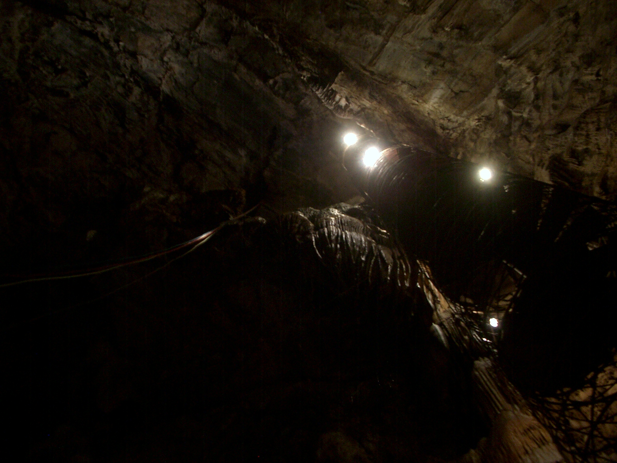
Moaning Cavern Park
Central-_Valley_CA_20150308-2838
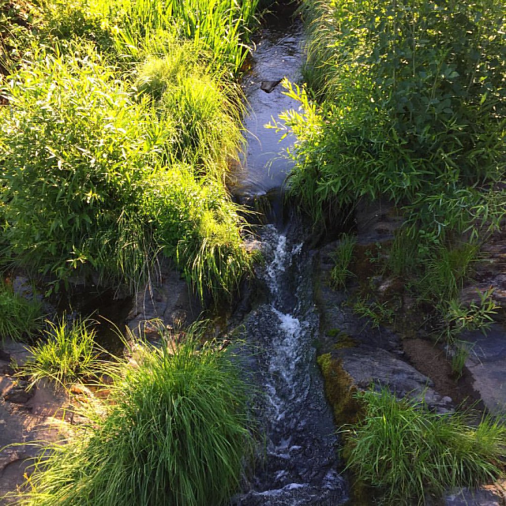
Local sights. #rural #country #stream #water
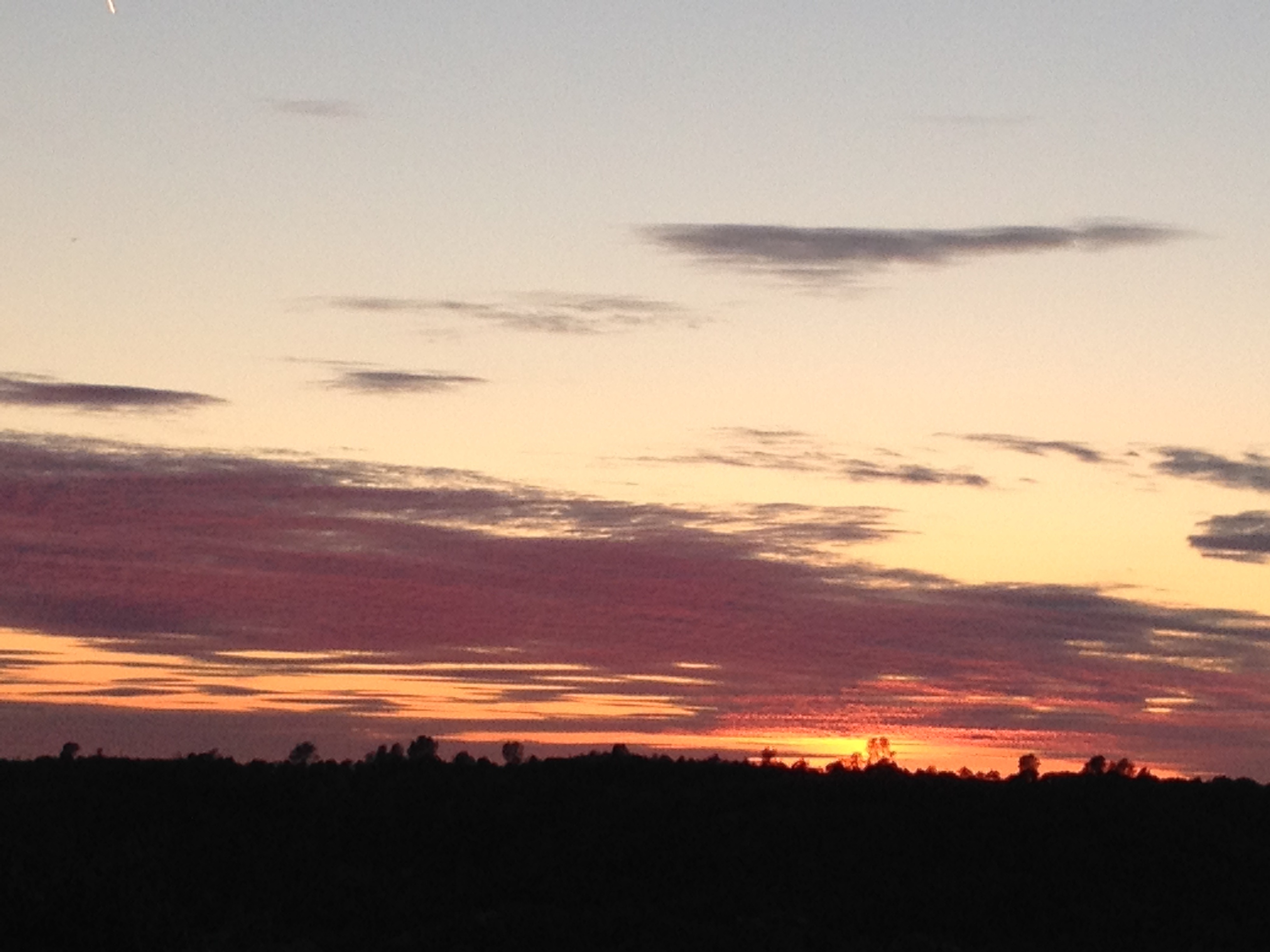
Sunset from Marilyn's
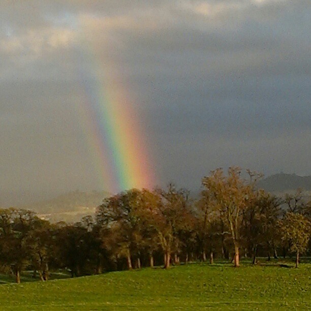
A Rainbow for you.
All the way down
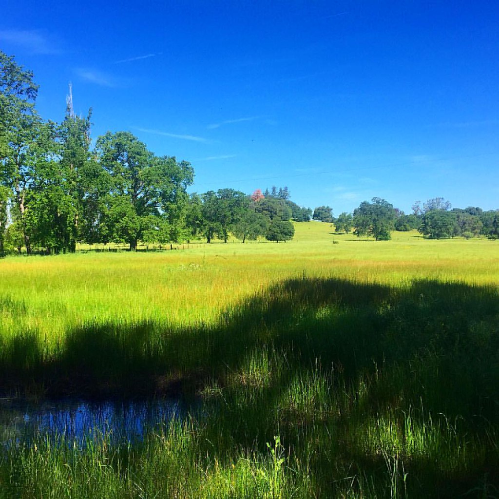
Out for a walk in my hood. #meadow #pasture #rural #grass #tree #green #blue
Ominous morning.
Streambed immediately upstream of the Natural Bridge in Calaveras County - natural45x
Beautiful lake

Thought you would enjoy
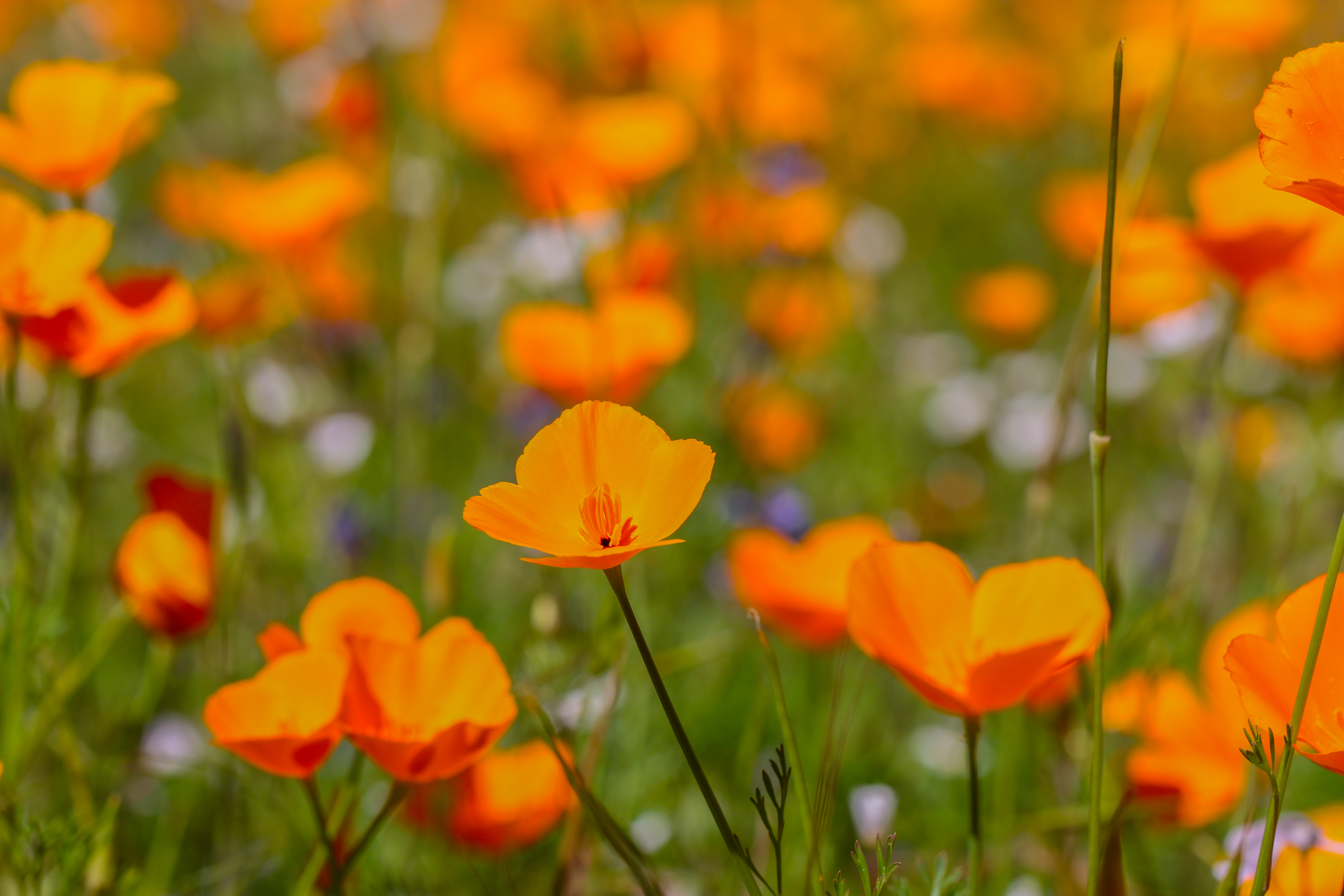
foothill poppy (Eschscholzia caespitosa)
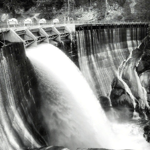
The Old Dam
moaning cavern
Moaning Cavern Park
Topographic Map of El Oso Way, Phoenix Lake-Cedar Ridge, CA, USA
Find elevation by address:

Places near El Oso Way, Phoenix Lake-Cedar Ridge, CA, USA:
21771 El Lobo Center
19210 El Oso Way
15030 Morningside Dr
15476 Camino Del Parque Rd N
15476 Camino Del Parque Rd N
21880 Montgomery Rd
Phoenix Lake Country Club
22216 Paseo De Los Portales Rd
14995 Morningside Dr
Camino Del Parque Road South
21104 Phoenix Lake Rd
21644 Robin Hill Rd
Phoenix Lake Road
21337 Phoenix Lake Rd
Foothill Horizons
Phoenix Lake Rd, Sonora, CA, USA
Bellview Creek Road
Apple Hill Dr, Sonora, CA, USA
16341 Acorn Dr
22210 Cadenza Dr
Recent Searches:
- Elevation of Leguwa, Nepal
- Elevation of County Rd, Enterprise, AL, USA
- Elevation of Kolchuginsky District, Vladimir Oblast, Russia
- Elevation of Shustino, Vladimir Oblast, Russia
- Elevation of Lampiasi St, Sarasota, FL, USA
- Elevation of Elwyn Dr, Roanoke Rapids, NC, USA
- Elevation of Congressional Dr, Stevensville, MD, USA
- Elevation of Bellview Rd, McLean, VA, USA
- Elevation of Stage Island Rd, Chatham, MA, USA
- Elevation of Shibuya Scramble Crossing, 21 Udagawacho, Shibuya City, Tokyo -, Japan