Elevation of Shvut Rahel
Longitude: 35.310703
Latitude: 32.054539
Elevation: 757m / 2484feet
Barometric Pressure: 93KPa
Elevation Map:
Satellite Map:
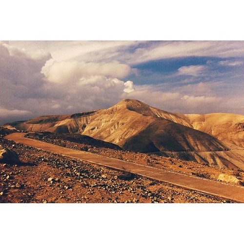
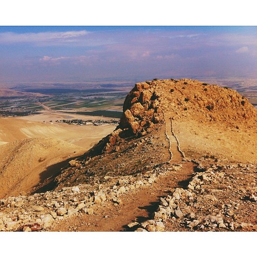
Related Photos:

Red car

On their way to school
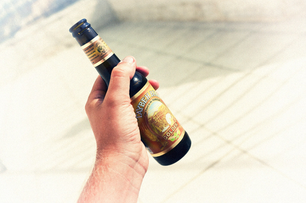
Taybeh Golden

Taybeh Golden in sunset.

Lubban. Showing zig-zag motor road
His view

Clouds over Hills

view of Rawabi

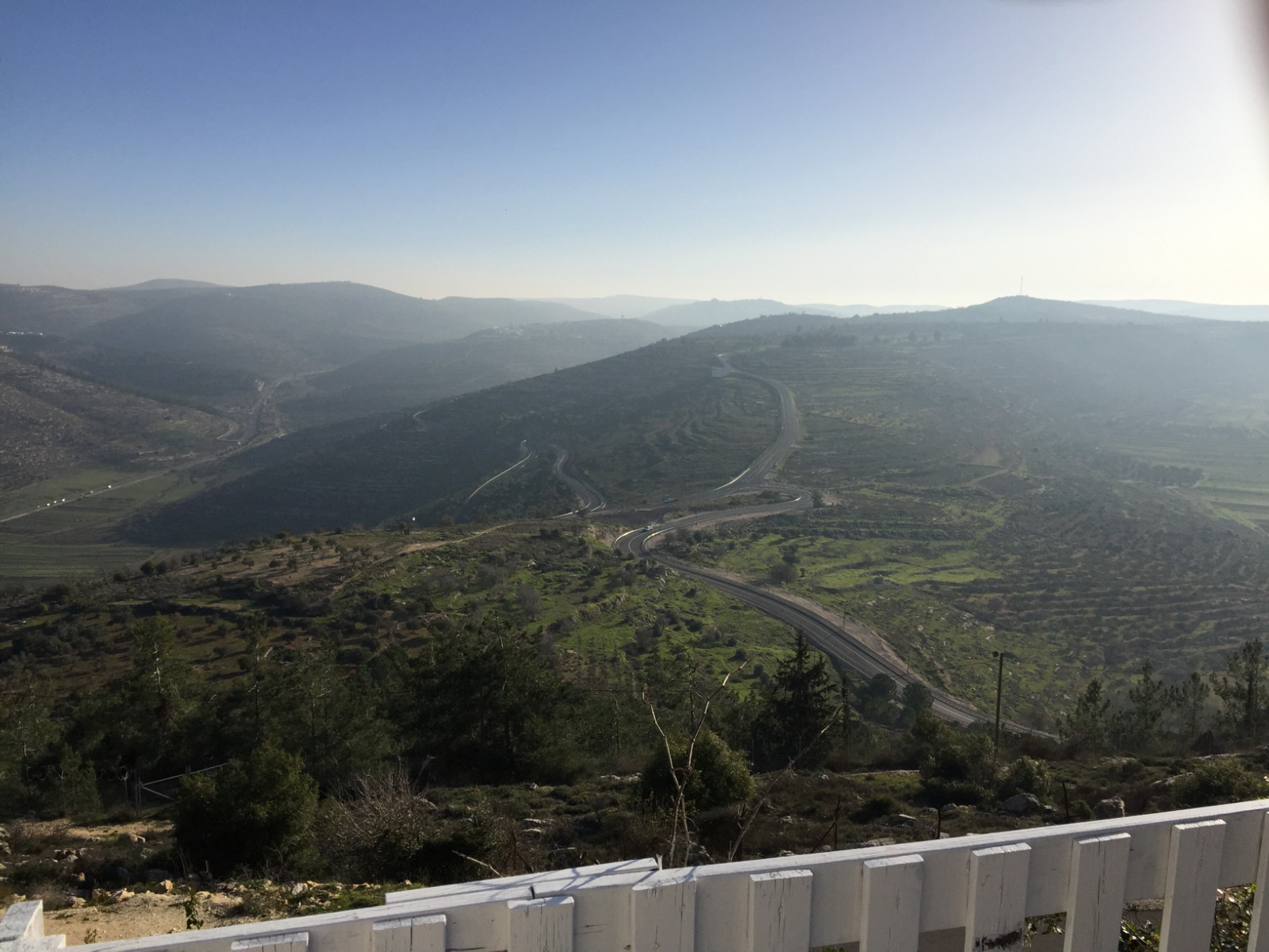
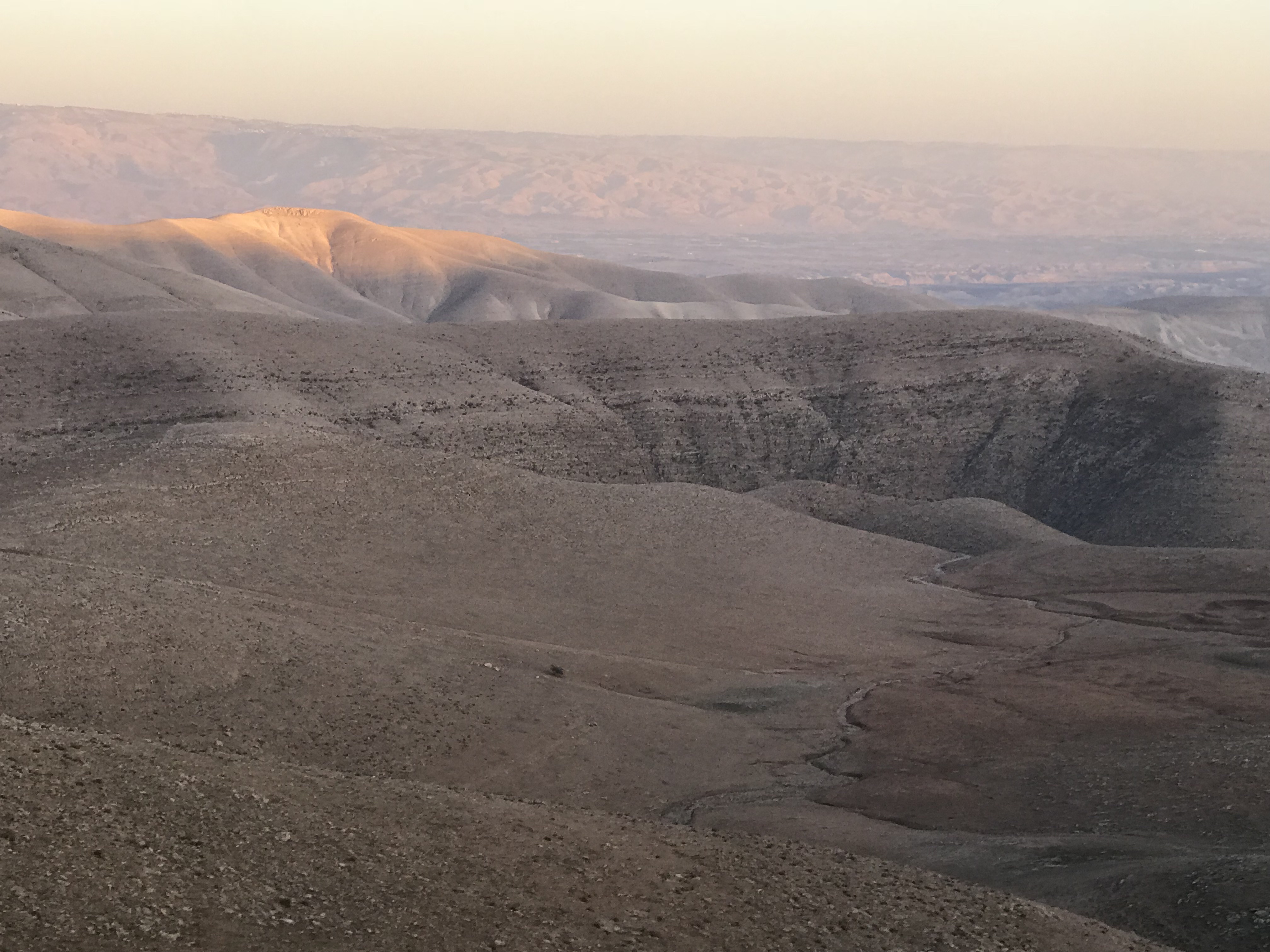
View towards Jordan River Valley

View towards Jordan River Valley

view of Jifna

Lonely Tree in Yizhar I ●S95●
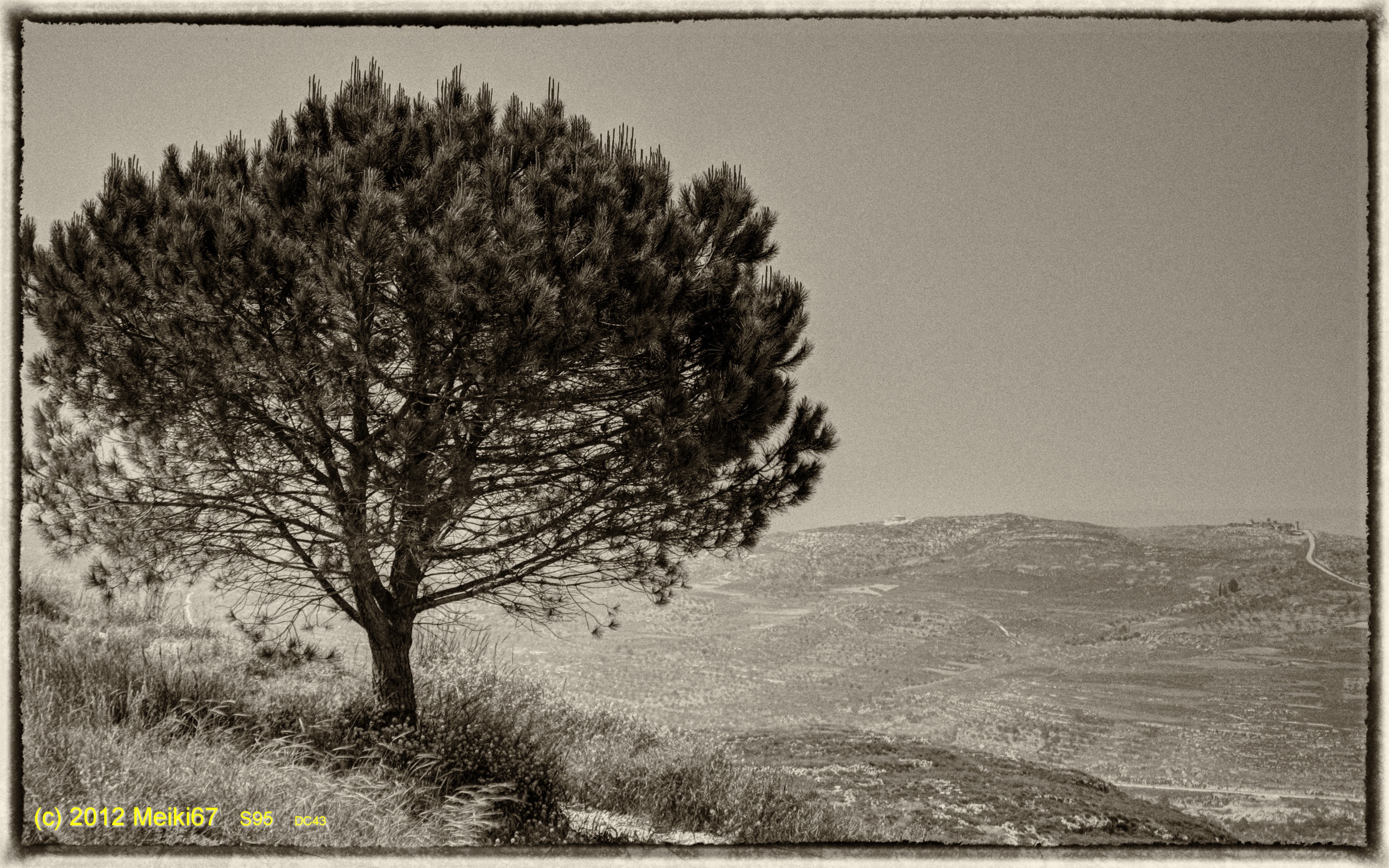
Lonely Tree in Yizhar II ●S95●

Israel 2011

Near Al-Mghayar village

Jordan Valley, northern West Bank

northern West Bank

"moses?"

Jordan Valley
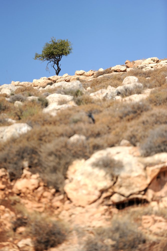
Lonely tree
Jordan Valley, northern West Bank

Случай в горах
'Sartaba' Jordan Valley, Israel, December 2013 #squaready #vscocam #landscape #history #iphoneonly #mountains #sky #mideast

SHEPHERD AND SHEEP

SHEPHERD AND SHEEP

SHEPHERD AND SHEEP

Bashar Masri, developer of Rawabi meets with us to talk with us about his vision for the city.
2013 B-sides Track #8 'Trailblazing' Jordan Valley #Israel December 2013 #squaready #vsco #vscocam #vscogood #landscape #mountain #mideast #iphoneonly #instadaily

Yellow Tree, Blue Sky.
Topographic Map of Shvut Rahel
Find elevation by address:

Places near Shvut Rahel:
Shiloh
Eli
Eli
Migdalim
Ma'ale Levona
Rehelim
Kfar Tapuach
Ma'ale Efraim
Taibe
Kohav Hashahar
Huwwarah
Ofra
Ariel University
Klilat Yofi Street
Itamar
Palestine
Yitzhar
Rujeib
Beit El
Gilgal
Recent Searches:
- Elevation of Elwyn Dr, Roanoke Rapids, NC, USA
- Elevation of Congressional Dr, Stevensville, MD, USA
- Elevation of Bellview Rd, McLean, VA, USA
- Elevation of Stage Island Rd, Chatham, MA, USA
- Elevation of Shibuya Scramble Crossing, 21 Udagawacho, Shibuya City, Tokyo -, Japan
- Elevation of Jadagoniai, Kaunas District Municipality, Lithuania
- Elevation of Pagonija rock, Kranto 7-oji g. 8"N, Kaunas, Lithuania
- Elevation of Co Rd 87, Jamestown, CO, USA
- Elevation of Tenjo, Cundinamarca, Colombia
- Elevation of Côte-des-Neiges, Montreal, QC H4A 3J6, Canada