Elevation of Taibe
Longitude: 35.298483
Latitude: 31.958114
Elevation: 852m / 2795feet
Barometric Pressure: 91KPa
Elevation Map:
Satellite Map:
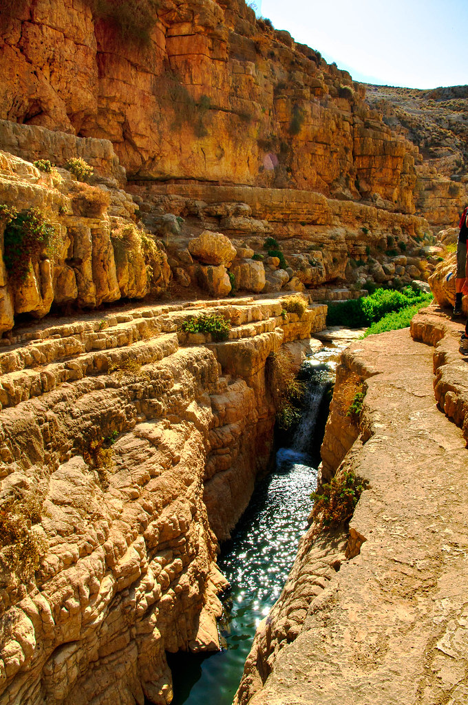
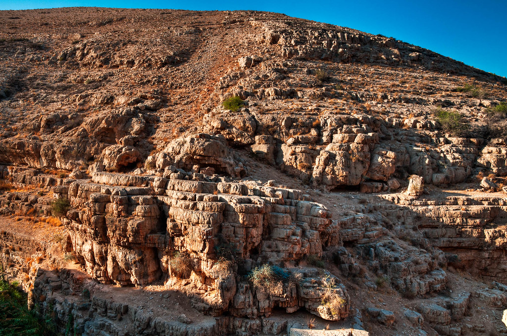
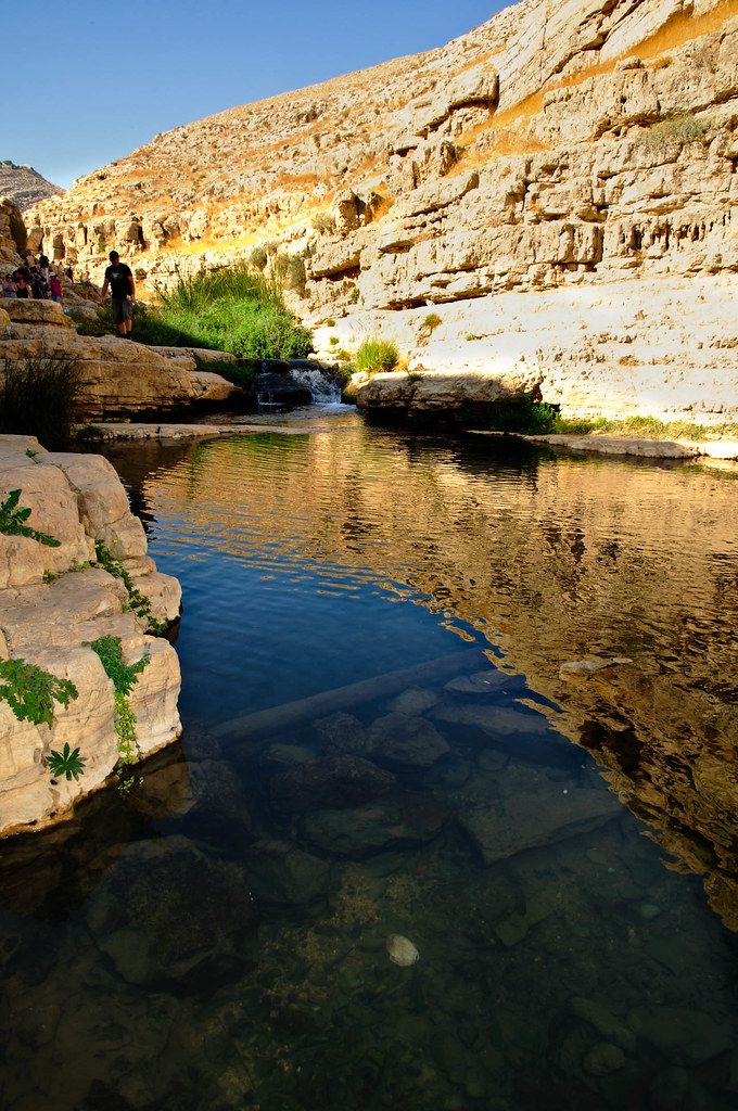
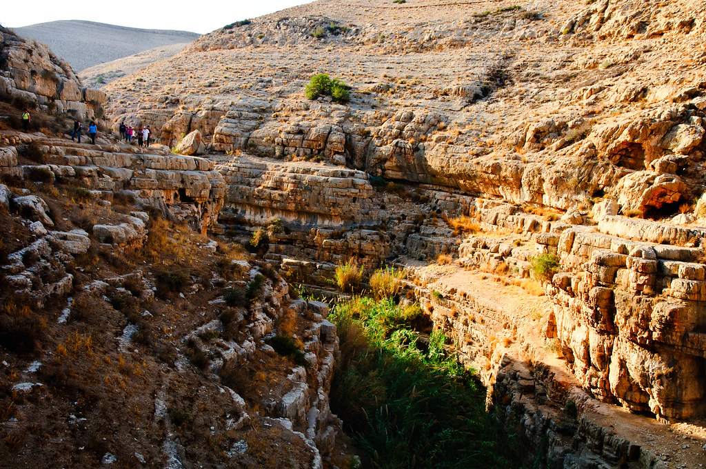
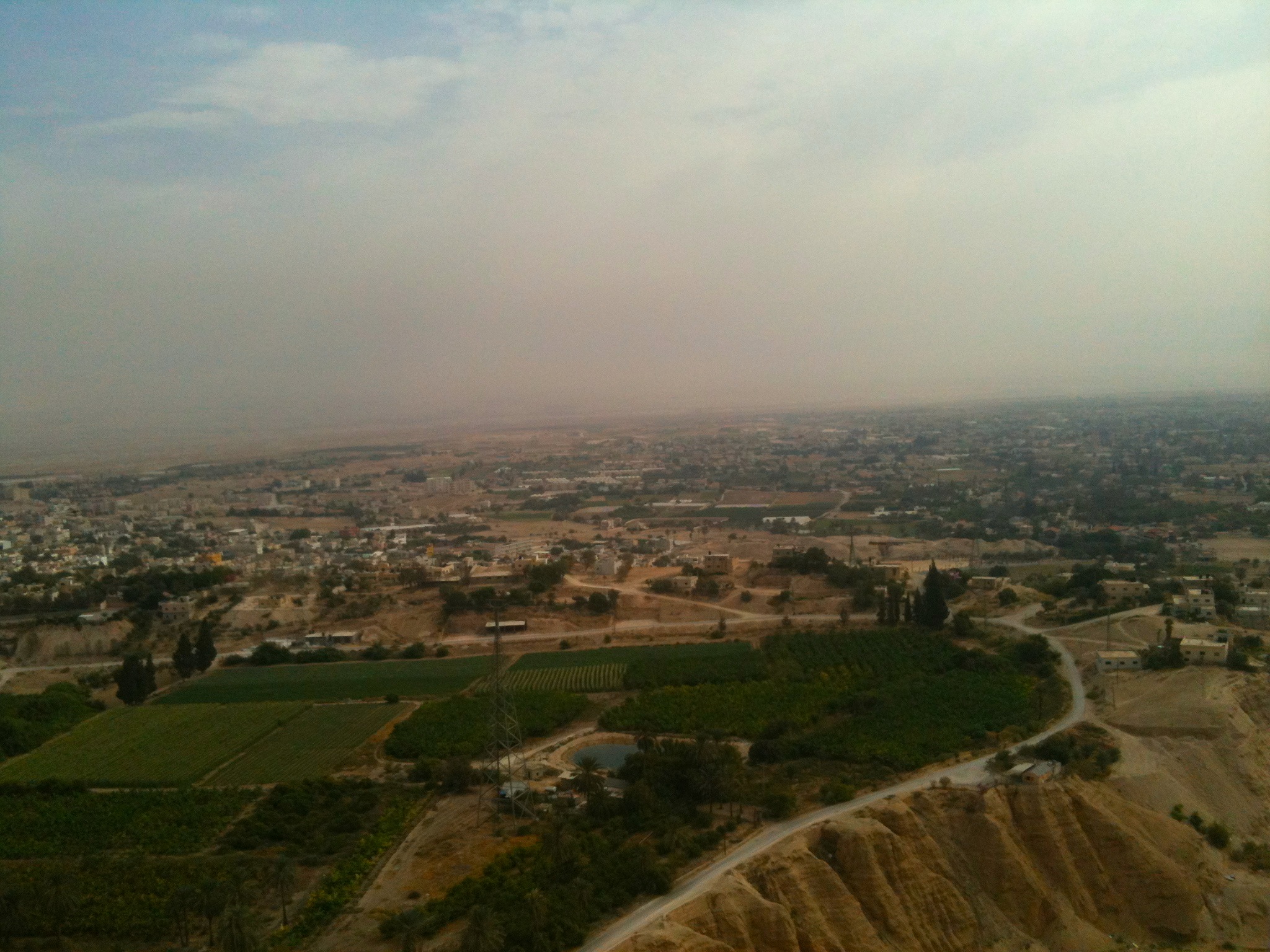
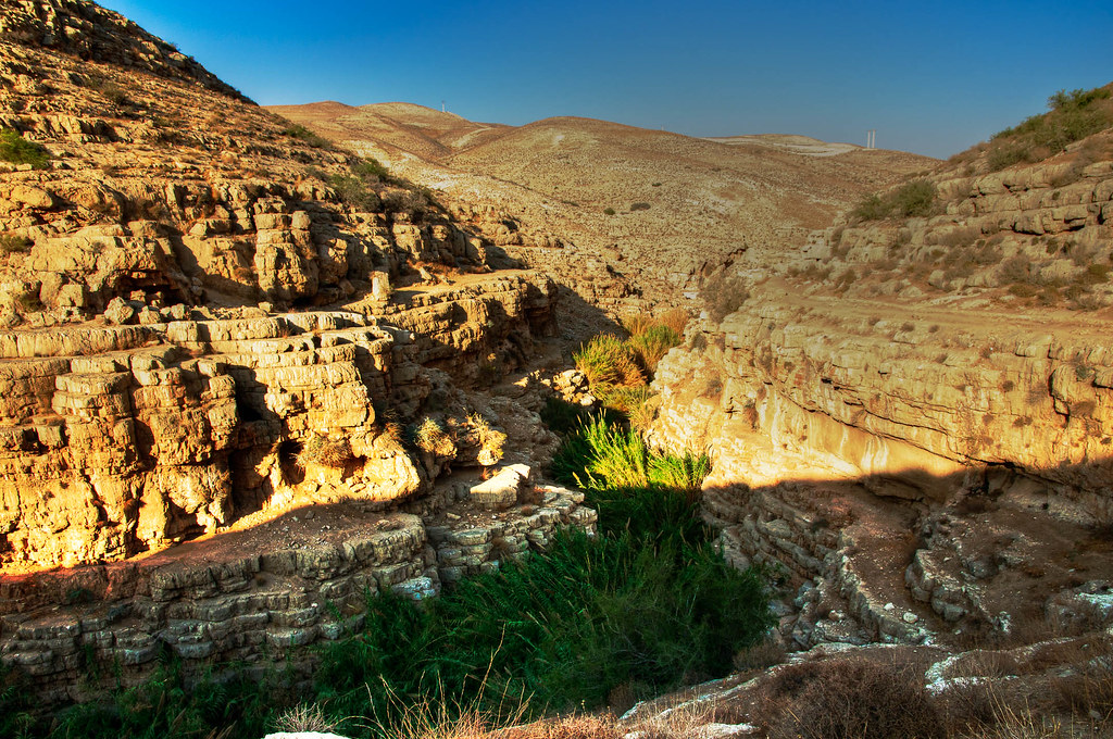
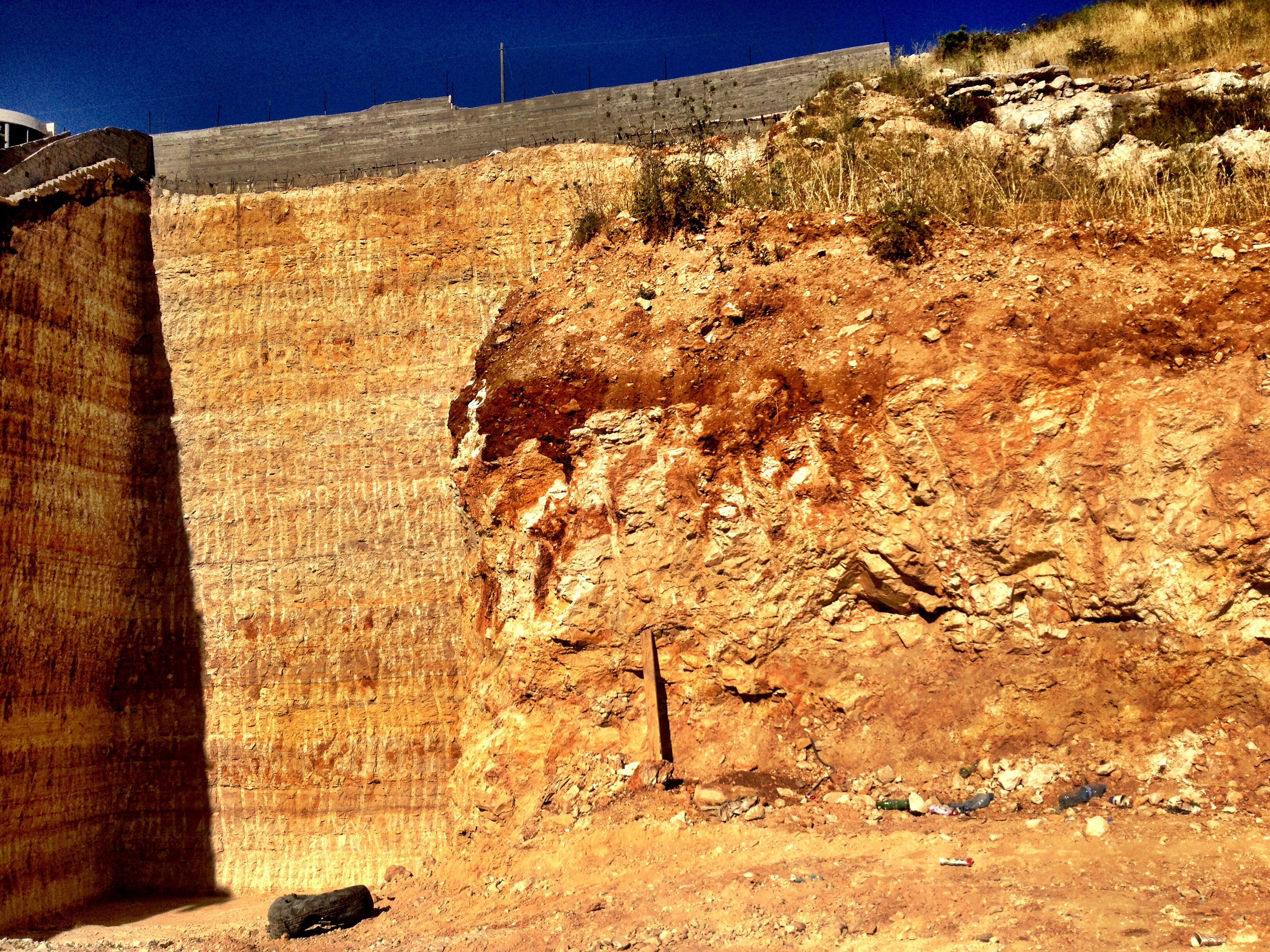
Related Photos:
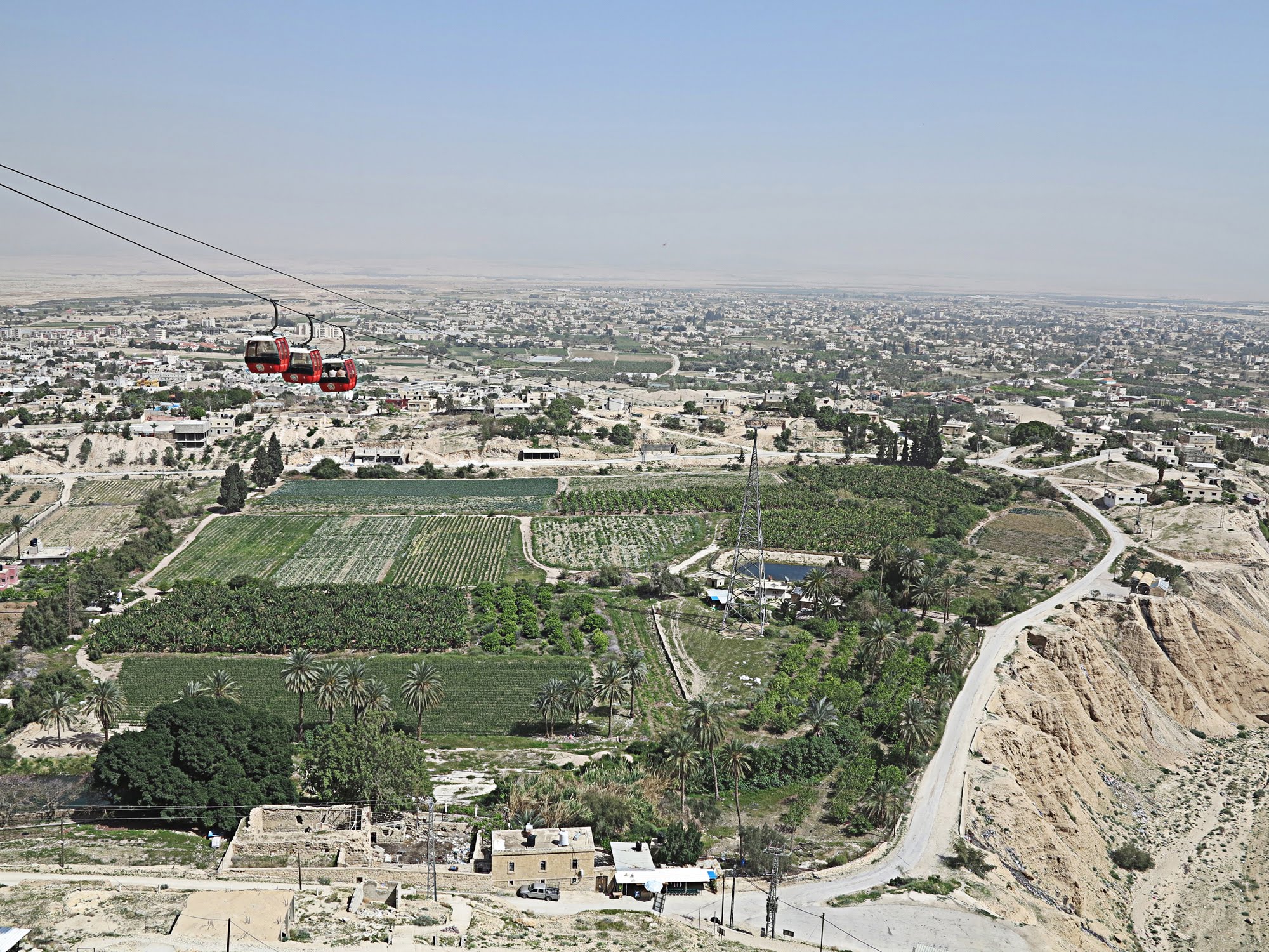
View from the Mount of Temptation at Jericho
100508-70867-LX3
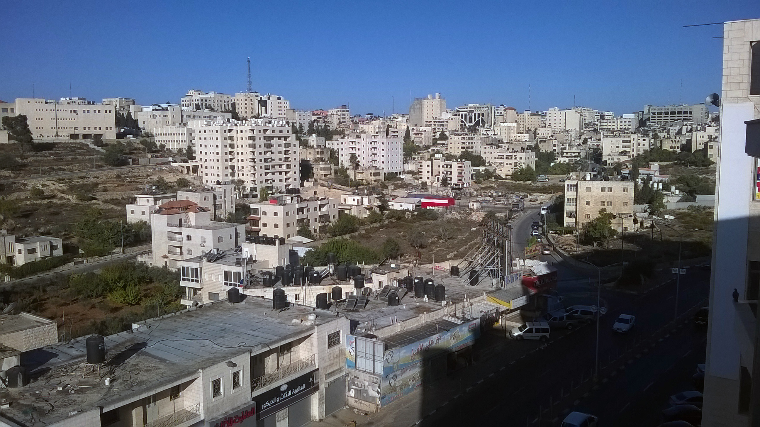
Ramallah - room with a view

100508-70866-LX3
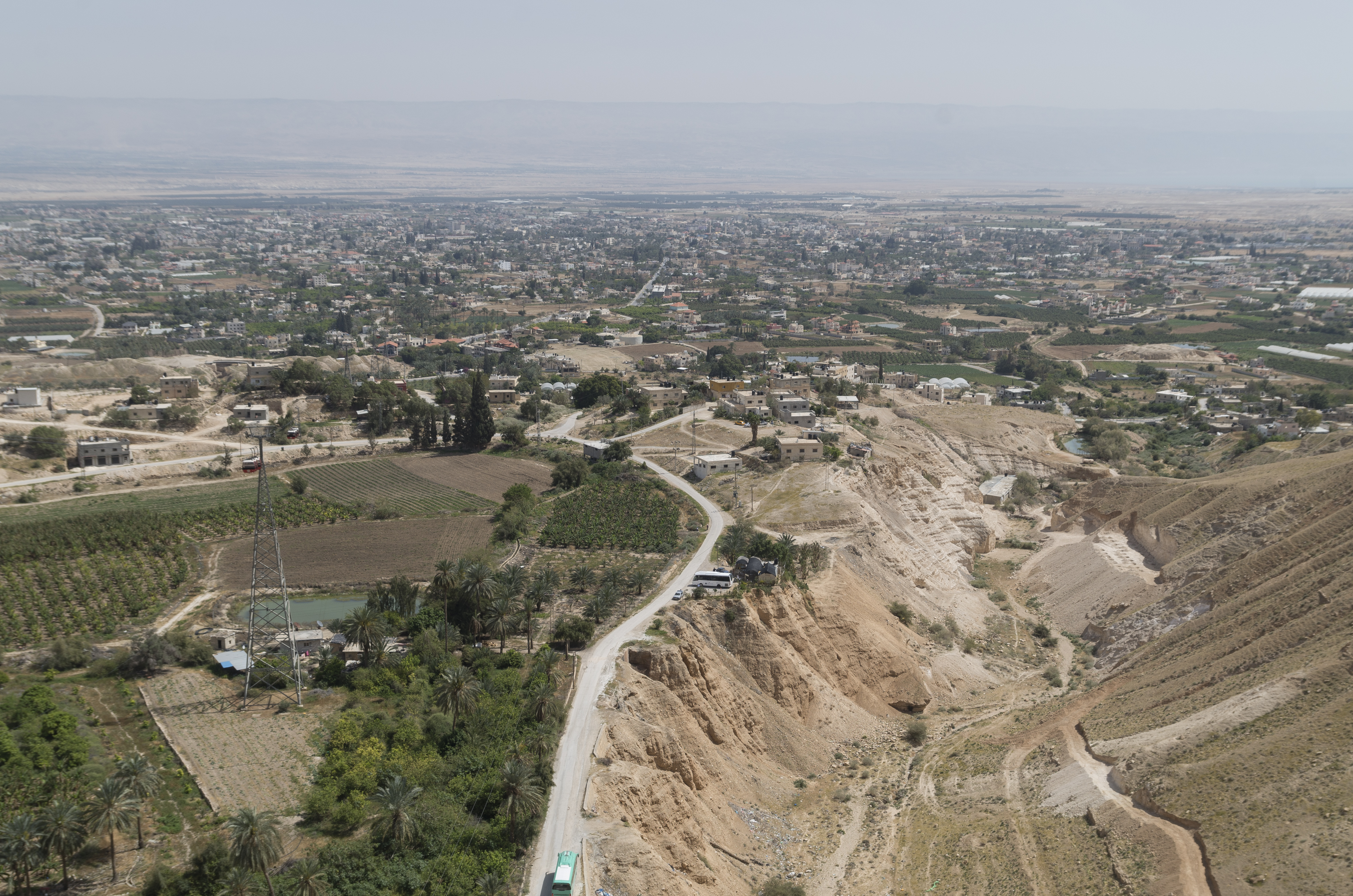
View over Jericho, 19.03.2016.
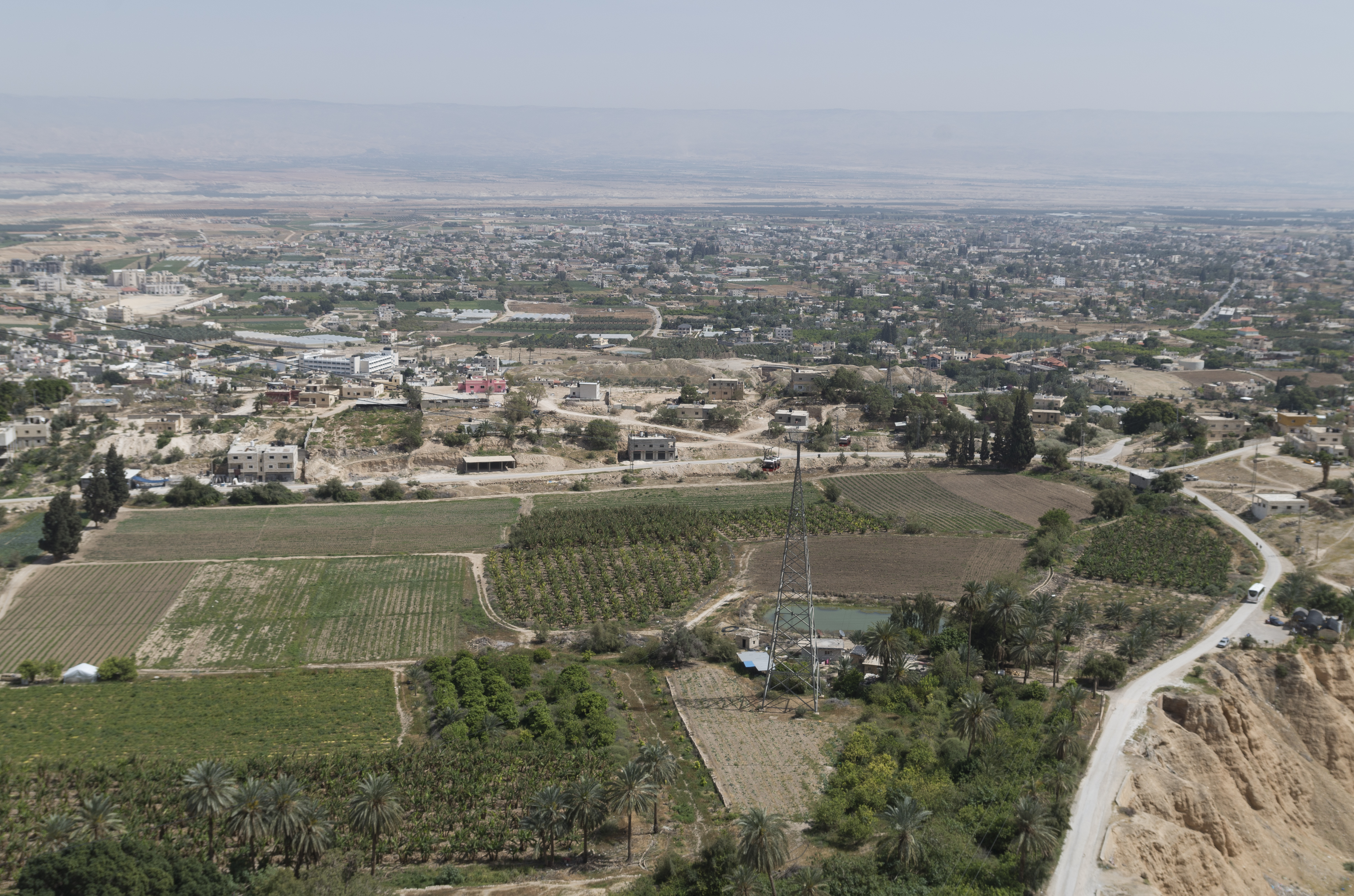
View over Jericho, 19.03.2016.
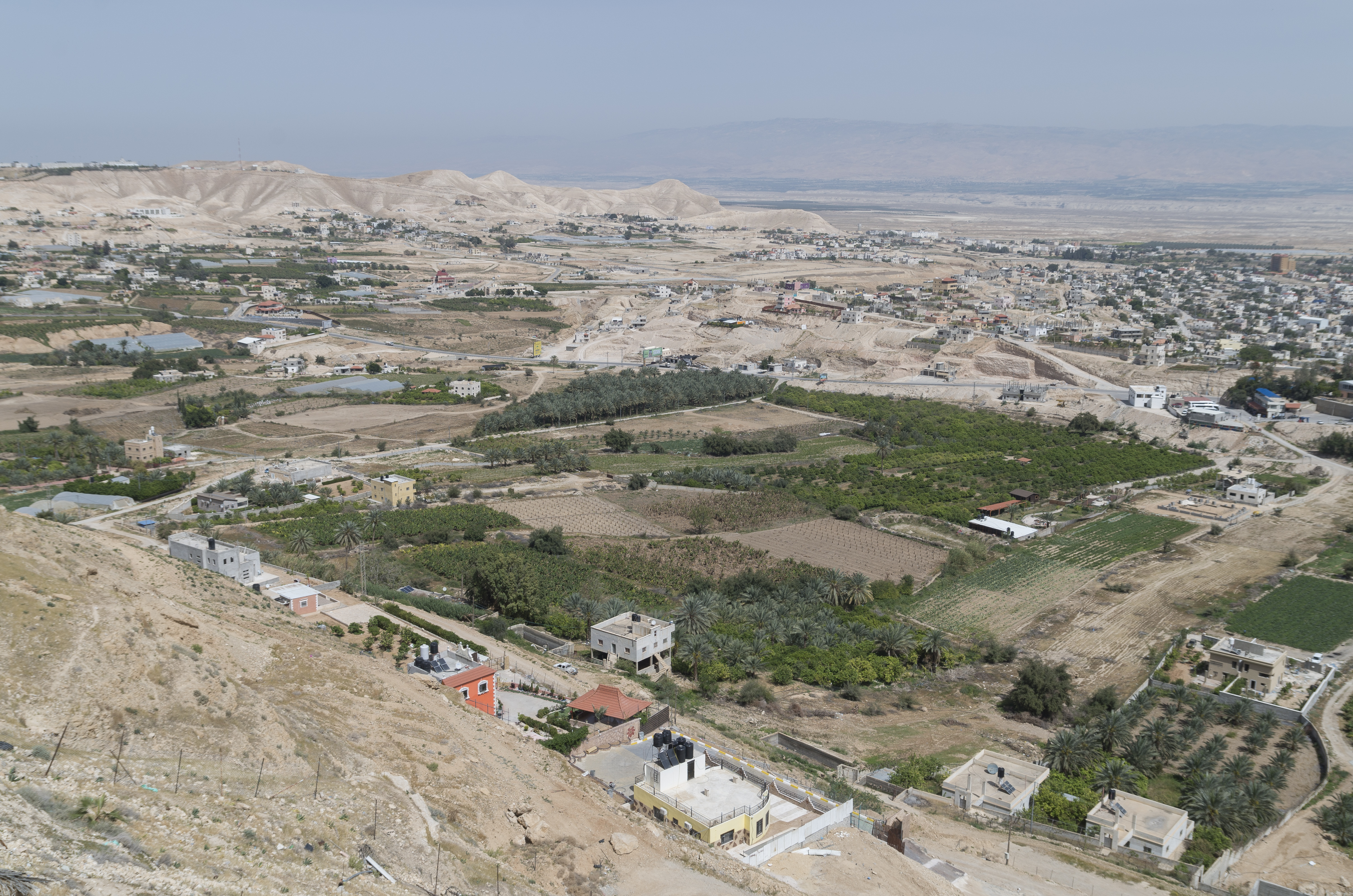
View over Jericho, 19.03.2016.
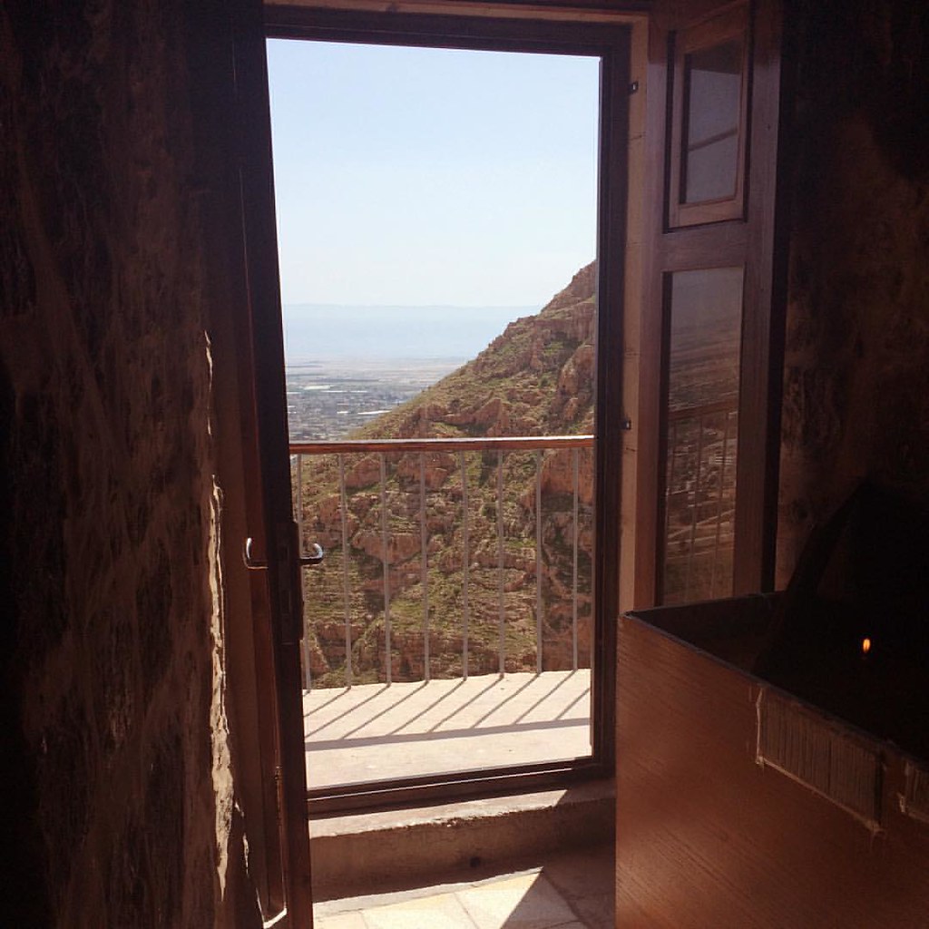
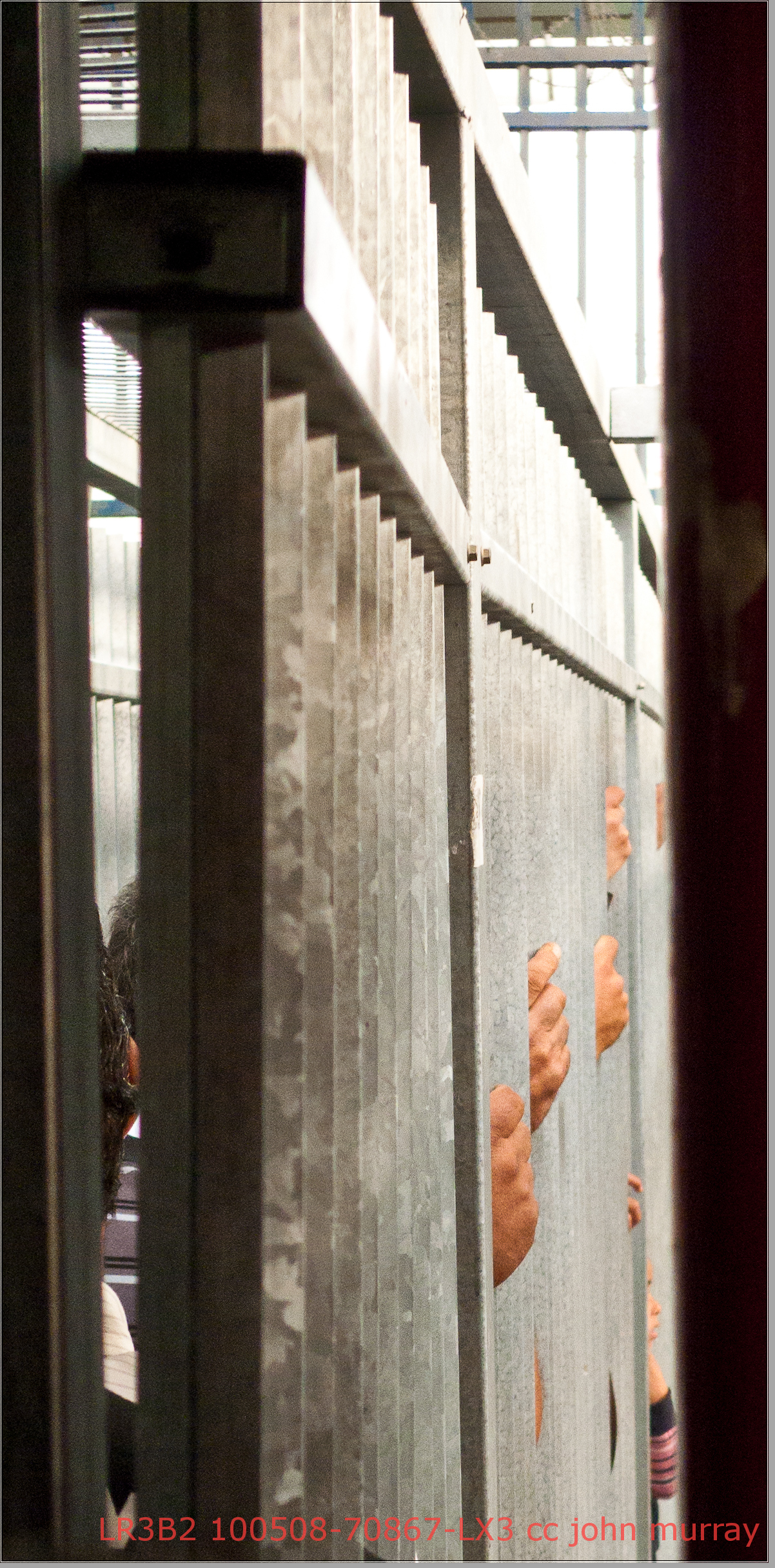
When the door opens. #door #monasteryoftemptation #jericho #view #doorsopen

100508-70858-LX3

Qalandia / قلنديا (Palestine) - The Wall

Red car
His view
Wilderness of Judea foothills. Ain Duke, Jericho, and Jordan in distance

Taybeh Golden

100508-70857-LX3
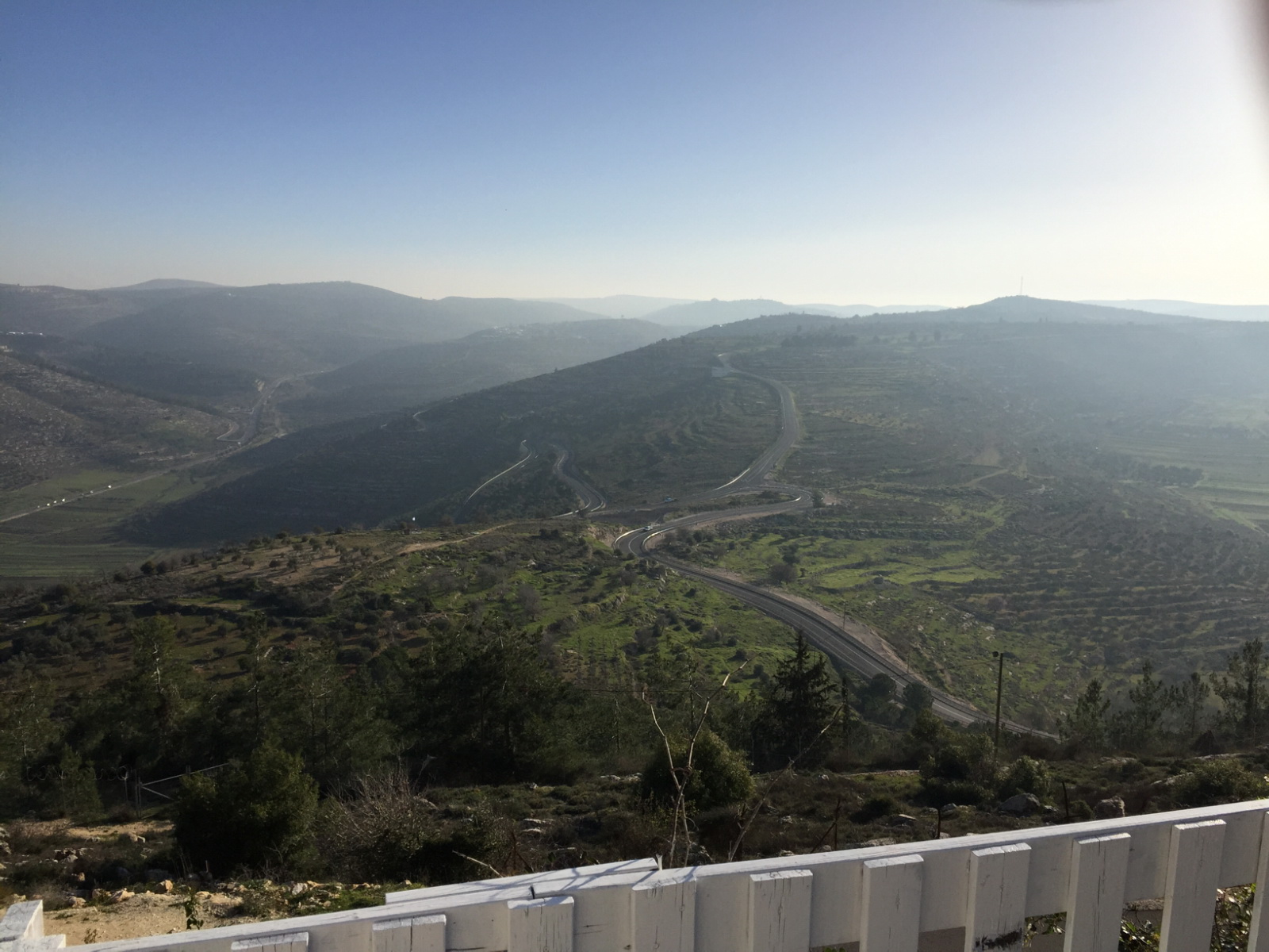
Lubban. Showing zig-zag motor road

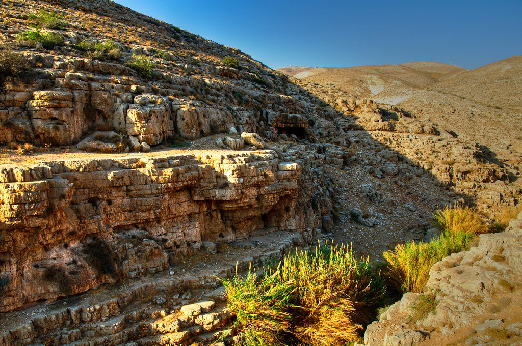
Mount of Temptation and gardens of Ain Duke. Western edge of Jericho plain

On their way to school
100508-70859-LX3
View over Jericho, 19.03.2016.

100508-70851-LX3
Mount of Tentation
BL_TRL_Kelt-20101120-0095-Edit.jpg

Sinjil village / Palestine

Jericho: Berg der Versuchung جبل الأربعين קרנטל
BL_TRL_Kelt-20101120-0093_tonemapped-Edit.jpg
BL_TRL_Kelt-20101120-0149_50_51_52_53-Edit.jpg
BL_TRL_Kelt-20101120-0392_tonemapped-Edit.jpg
BL_TRL_Kelt-20101120-0343-Edit.jpg
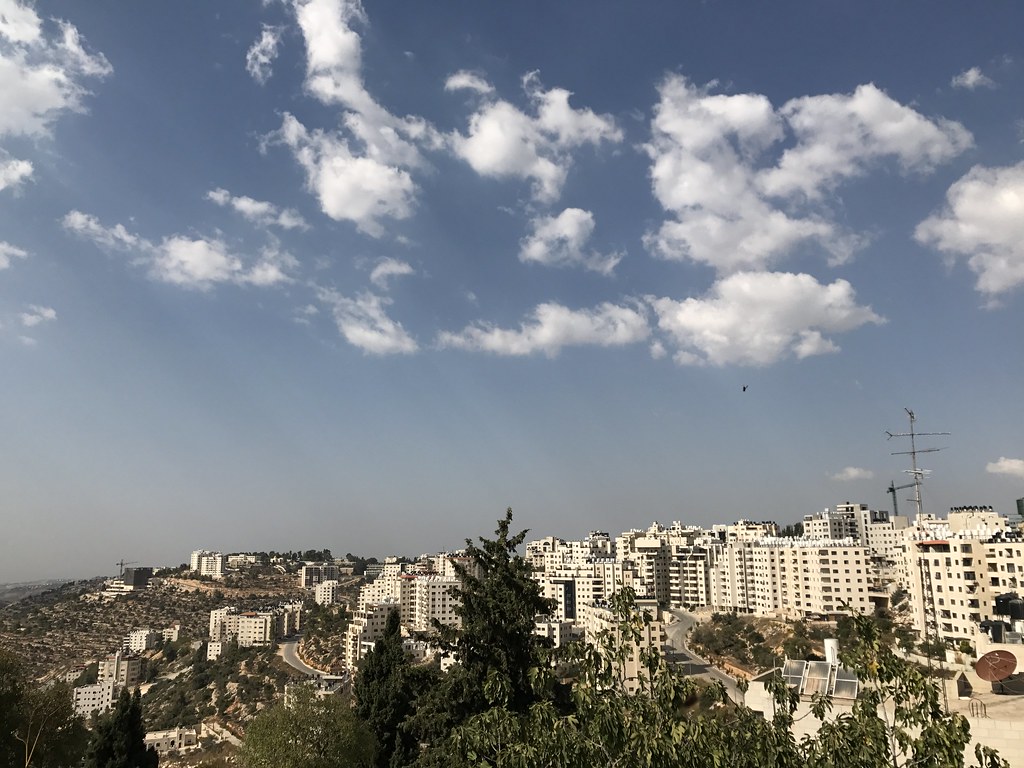
Travels in Jerusalem and Ramallah
BL_TRL_Kelt-20101120-0208-Edit.jpg
BL_TRL_Kelt-20101120-0178_tonemapped-Edit.jpg
BL_TRL_Kelt-20101120-0386_87_88_89_90-Edit.jpg
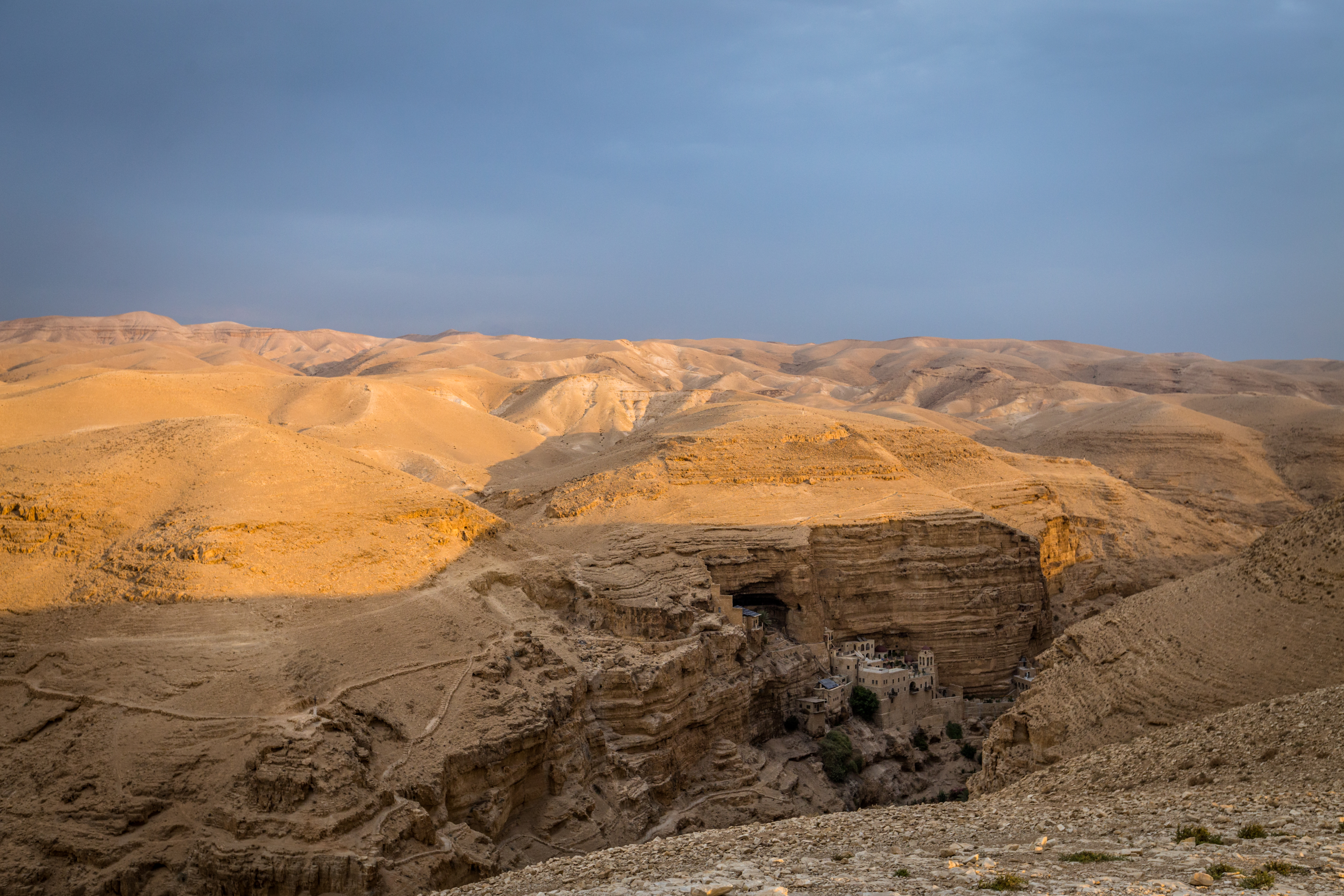
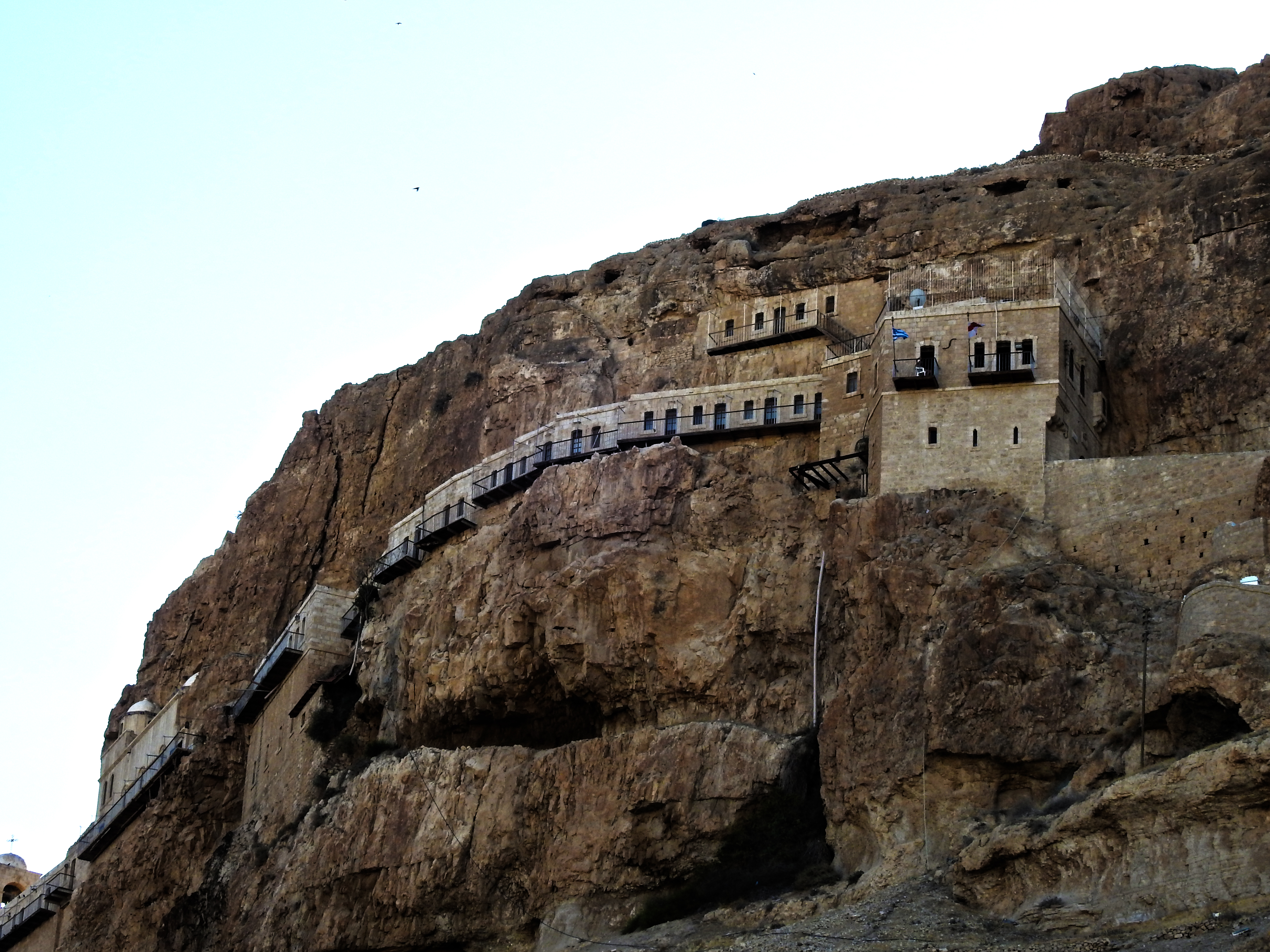
St George's monastery

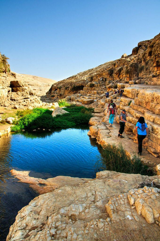
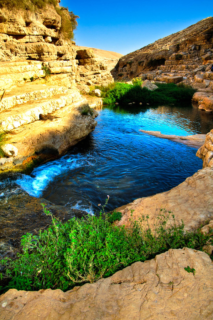
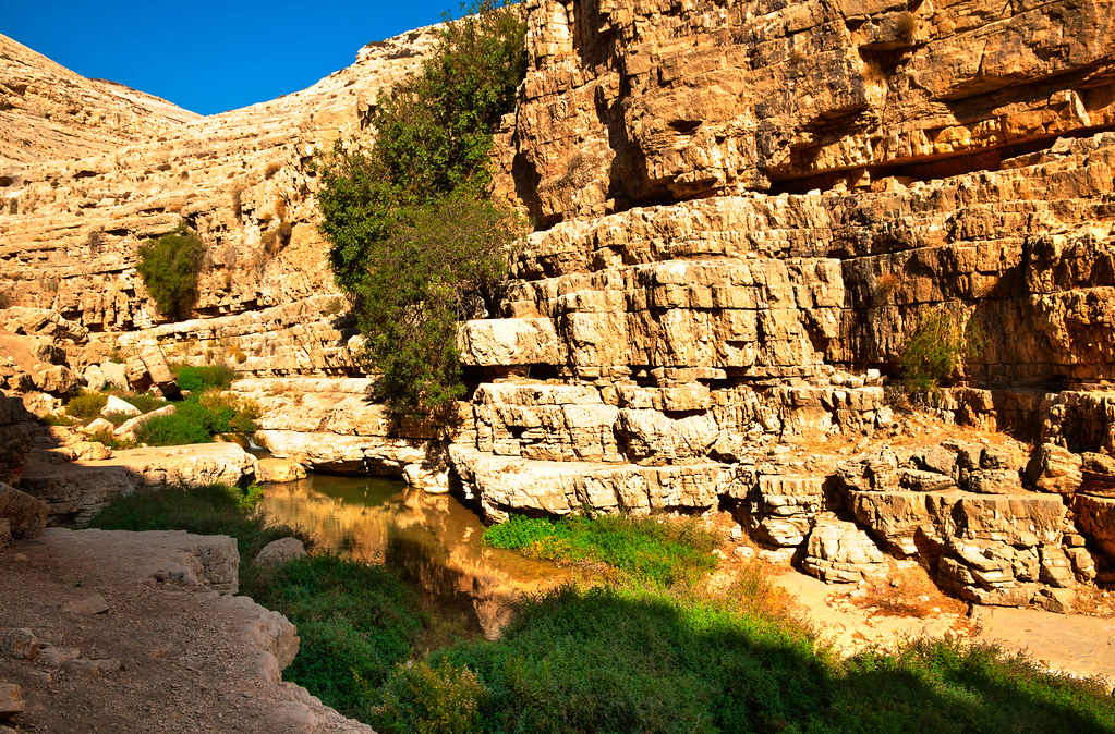
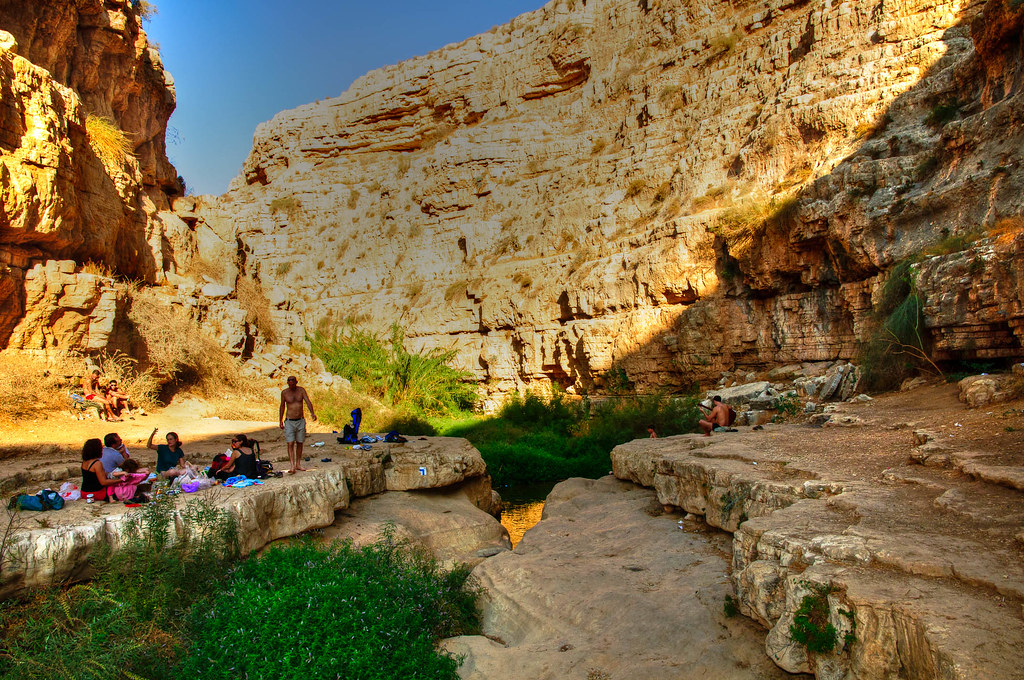
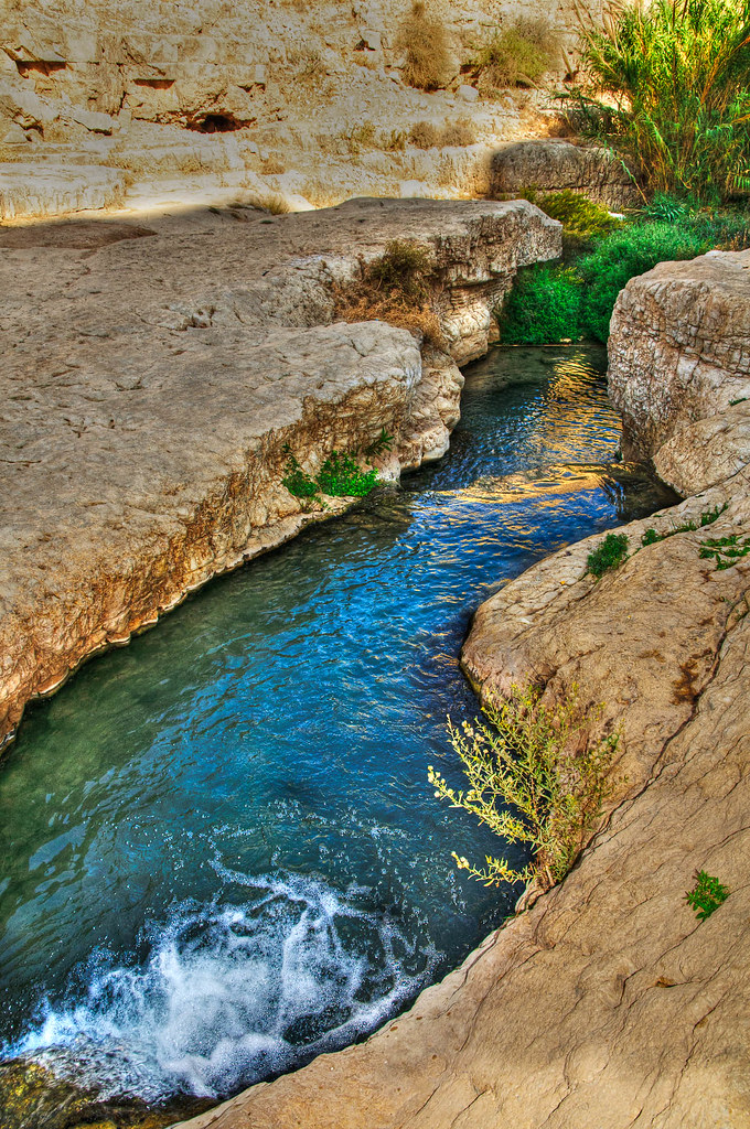
20130328_Upper VadiKelt_נחל פרת (236)
BL_TRL_Kelt-20101120-0096-Edit.jpg
BL_TRL_Kelt-20101120-0381-Edit.jpg
2012-11-05 10.14.27
BL_TRL_Kelt-20101120-0376_tonemapped-Edit.jpg

20130328_Upper VadiKelt_נחל פרת (22)
2014-05-24 16.53.01
Topographic Map of Taibe
Find elevation by address:

Places near Taibe:
Ofra
Kohav Hashahar
Palestine
Baytin
Beit El
Ramallah
Geva Binyamin
Abir Yaakov Street
Kfar Ivri St 2
Neve Yaakov
Pisgat Ze'ev
28 Sderot Moshe Dayan
Neve Menahem
גבעת זאב החדשה
גבעת זאב
Giv'at Ze'ev
Kiryat Ye'arim St 26
Mishkenot Giv'at Ze'ev
Jericho Synagogue
Aqabat Jabr
Recent Searches:
- Elevation of Slanický ostrov, 01 Námestovo, Slovakia
- Elevation of Spaceport America, Co Rd A, Truth or Consequences, NM, USA
- Elevation of Warwick, RI, USA
- Elevation of Fern Rd, Whitmore, CA, USA
- Elevation of 62 Abbey St, Marshfield, MA, USA
- Elevation of Fernwood, Bradenton, FL, USA
- Elevation of Felindre, Swansea SA5 7LU, UK
- Elevation of Leyte Industrial Development Estate, Isabel, Leyte, Philippines
- Elevation of W Granada St, Tampa, FL, USA
- Elevation of Pykes Down, Ivybridge PL21 0BY, UK