Elevation of Gilgal
Longitude: 35.444643
Latitude: 32.000016
Elevation: -238m / -781feet
Barometric Pressure: 104KPa
Elevation Map:
Satellite Map:
Related Photos:

Jordan River Valley

Jordan River. A general view looking north from above the Allenby bridge

The Damieh district. Jordan united with the Jabbok (Damieh tell foreground centre)

Wady Faraa's eastern end. Where the Nablus valley joins the Jordan

Allenby/Jisr el-Hussein Bridge; Jordan River Valley

Allenby/Jisr el-Hussein Bridge; Jordan River Valley

View from the Mount of Temptation at Jericho

Jericho plain and Dead Sea. A distant view with oasis of Ain Duke in middle foreground

Wilderness of Judea foothills. Ain Duke, Jericho, and Jordan in distance

Mount of Temptation and the convent. Closer view (Deir Al-Quruntul Monastery; Douka)

View over Tell es-Sultan, 19.03.2016.
On the way to Jericho. OMG this place is magical #Palestine #view #jericho #nofilter

View over Jericho, 19.03.2016.

View over Jericho, 19.03.2016.

Tree of Zacchaeus

View of Jerico

Temptation monastery chapel-1077
Sinjil village / Palestine

Joe and Nathan survey the desert. What surprised us was the incredible bird life.

Tell Damiya; Damiya / Damieh

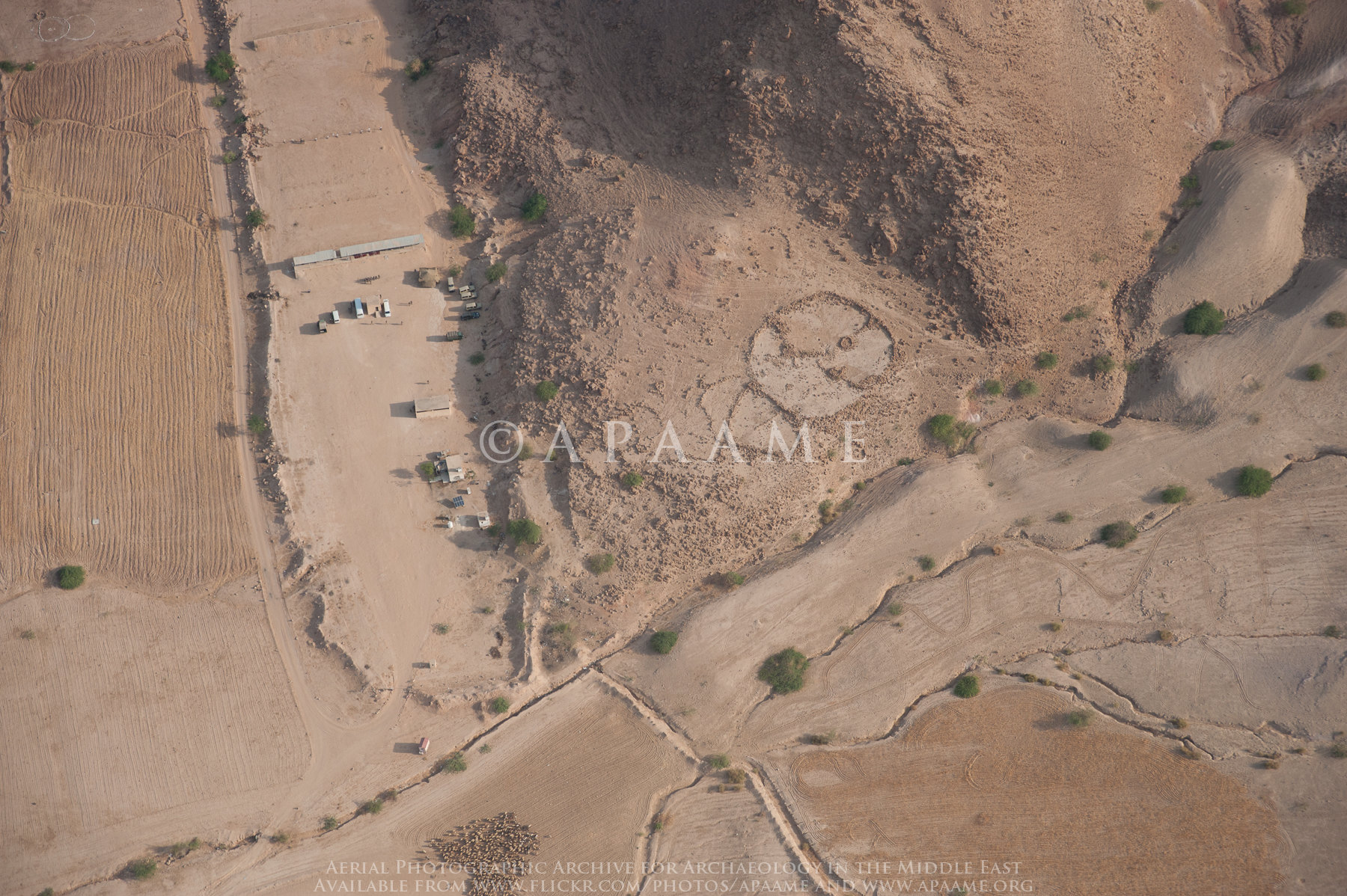
Salt Cairns 4; Salt Enclosures 10

Salt Cairns 4; Salt Enclosures 10
Salt Cairns 4; Salt Enclosures 10

Salt Cairns 4; Salt Enclosures 10

Salt Cairns 4; Salt Enclosures 10

Salt Ruin? 2; Salt Enclosures 3

Salt Enclosures 7

Salt Enclosures 17
P9233795.jpg

Salt Ruin? 2; Salt Enclosures 3

Salt Cairns 4; Salt Enclosures 10

Salt Enclosures 7

Salt Ruin? 2; Salt Enclosures 3
Salt Enclosures 7

Salt Enclosures? 9

Salt Enclosures 1

Salt Ruin? 2; Salt Enclosures 3
Topographic Map of Gilgal
Find elevation by address:

Places near Gilgal:
Ma'ale Efraim
Kohav Hashahar
Jericho Synagogue
Migdalim
Jericho Station
Jericho
Shvut Rahel
Taibe
Shiloh
Aqabat Jabr
Ofra
Eli
Mitzpe Yeriho
Eli
Shoonah Janoobiah District
The Baptismal Site Of Jesus Christ
1
Almog
Ma'ale Levona
Rehelim
Recent Searches:
- Elevation of 62 Abbey St, Marshfield, MA, USA
- Elevation of Fernwood, Bradenton, FL, USA
- Elevation of Felindre, Swansea SA5 7LU, UK
- Elevation of Leyte Industrial Development Estate, Isabel, Leyte, Philippines
- Elevation of W Granada St, Tampa, FL, USA
- Elevation of Pykes Down, Ivybridge PL21 0BY, UK
- Elevation of Jalan Senandin, Lutong, Miri, Sarawak, Malaysia
- Elevation of Bilohirs'k
- Elevation of 30 Oak Lawn Dr, Barkhamsted, CT, USA
- Elevation of Luther Road, Luther Rd, Auburn, CA, USA