Elevation of Klilat Yofi Street, Klilat Yofi St, Ari'el
Location: Ari'el >
Longitude: 35.2050377
Latitude: 32.0997385
Elevation: 700m / 2297feet
Barometric Pressure: 93KPa
Elevation Map:
Satellite Map:
Related Photos:

Nablus (PS)

Nablus From Gerzim Mountain

Nablus Panoramic

Nablus city

Nablus city

Red car

Packing soap

Nablus Kindergarten

Nablus city

The boys are back in town

Making soap

On their way to school
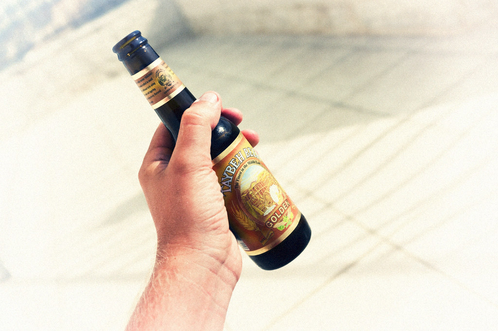
Taybeh Golden

Tourist Information

View of Hong Kong, from Nablus

Taybeh Golden in sunset.

Nablus & Gerizim, looking S.E.

Nablus. Showing slope of Ebal

Lubban. Showing zig-zag motor road

Misty view over Nablus

Gerzim Mountain
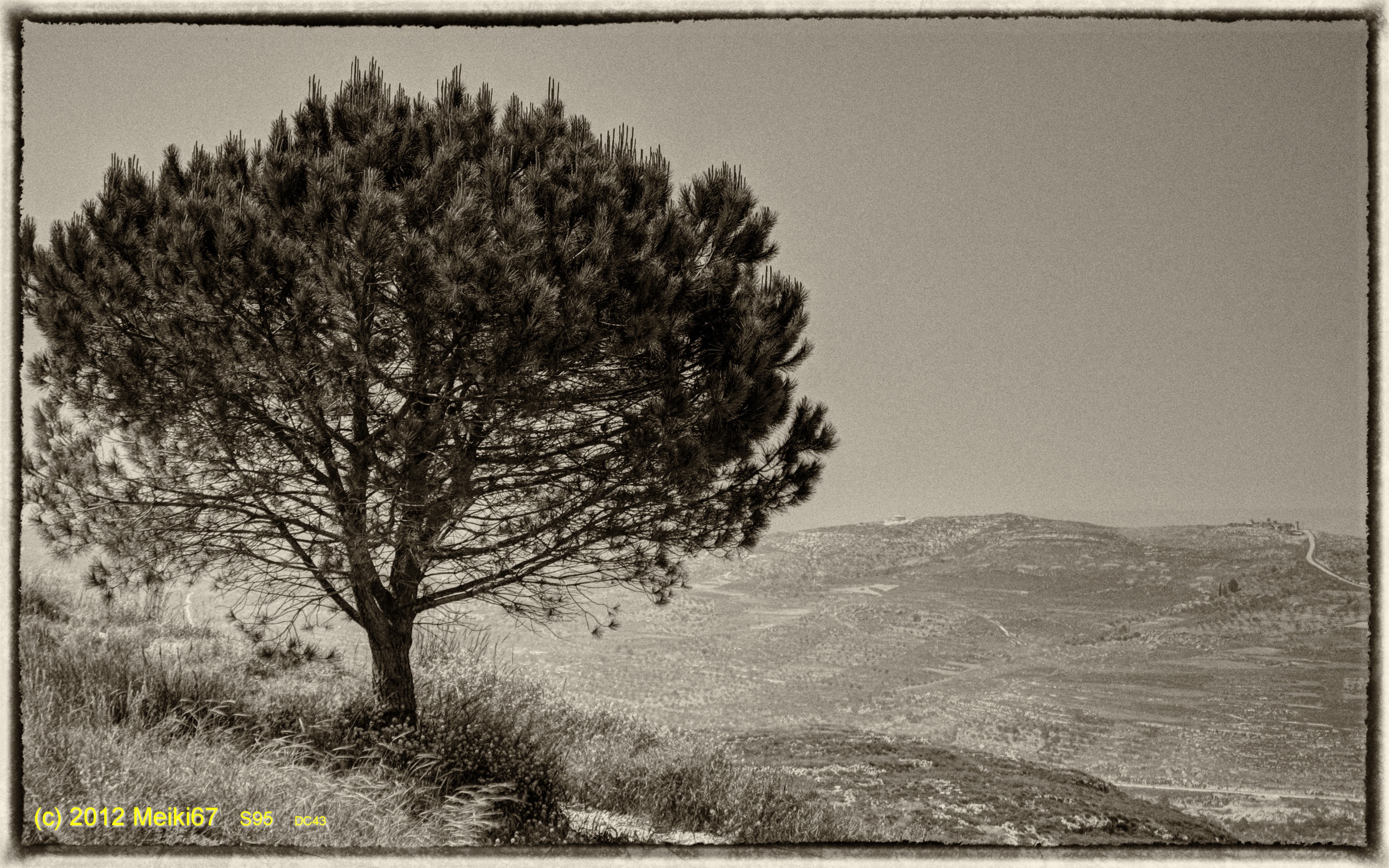
Lonely Tree in Yizhar II ●S95●
His view

Fld VI; Outside of MB west wall of city; view from west gate (see cColepShechem036). (1962, ID: cColepShechem042, Source: slide, Repository: NPAPH-project, Creator(s): Dan P. Cole)

Looking down on ancient Shechem where lies Jacobs Well and Joseph's Tomb.

Lonely Tree in Yizhar I ●S95●

Nablus sarra

Samaritan Mount Gerizim

Ramallah - Nablus Biking round trip 121 km
Nablus sarra

Samaritan Mount Gerizim

Nablus sarra

130704 Nablus

Nablus sarra

Shechem / Tell Balata Canaanite Ruins

Israel 2011

Nablus city

Nablus sarra
Topographic Map of Klilat Yofi Street, Klilat Yofi St, Ari'el
Find elevation by address:

Places near Klilat Yofi Street, Klilat Yofi St, Ari'el:
Ariel University
Derech Hanahshonim 54
Ari'el
Kfar Tapuach
Rehelim
Ma'ale Levona
Eli
Eli
Huwwarah
Yitzhar
Unnamed Road
Shiloh
Har Brakha
Jabal At Tur
Shvut Rahel
Jabal Jirzim
Har Gerizim
Kdumim
Rujeib
Itamar
Recent Searches:
- Elevation of Elwyn Dr, Roanoke Rapids, NC, USA
- Elevation of Congressional Dr, Stevensville, MD, USA
- Elevation of Bellview Rd, McLean, VA, USA
- Elevation of Stage Island Rd, Chatham, MA, USA
- Elevation of Shibuya Scramble Crossing, 21 Udagawacho, Shibuya City, Tokyo -, Japan
- Elevation of Jadagoniai, Kaunas District Municipality, Lithuania
- Elevation of Pagonija rock, Kranto 7-oji g. 8"N, Kaunas, Lithuania
- Elevation of Co Rd 87, Jamestown, CO, USA
- Elevation of Tenjo, Cundinamarca, Colombia
- Elevation of Côte-des-Neiges, Montreal, QC H4A 3J6, Canada