Elevation of Kfar Tapuach
Longitude: 35.249829
Latitude: 32.117973
Elevation: 673m / 2208feet
Barometric Pressure: 93KPa
Elevation Map:
Satellite Map:
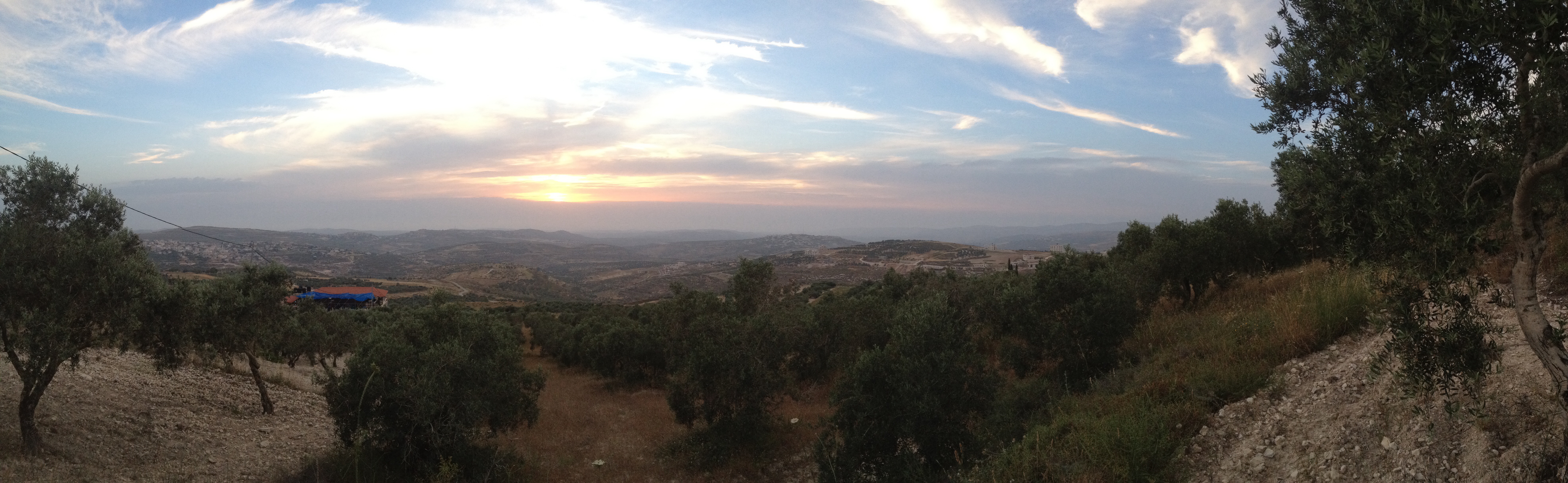
Related Photos:
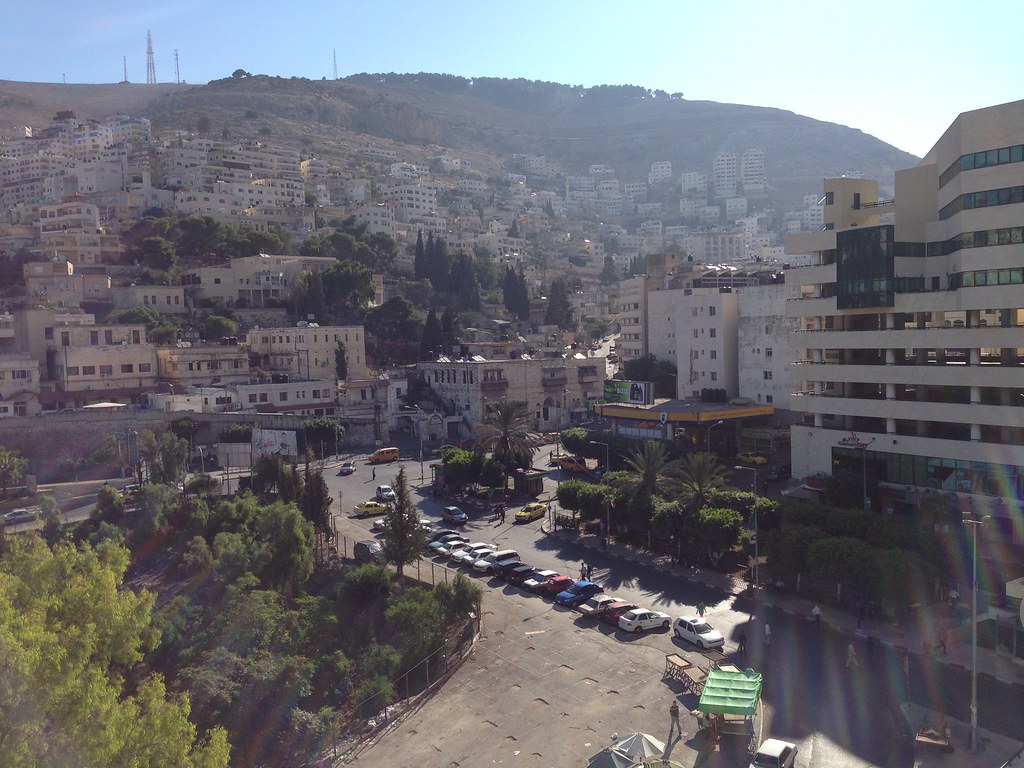
Nablus (PS)

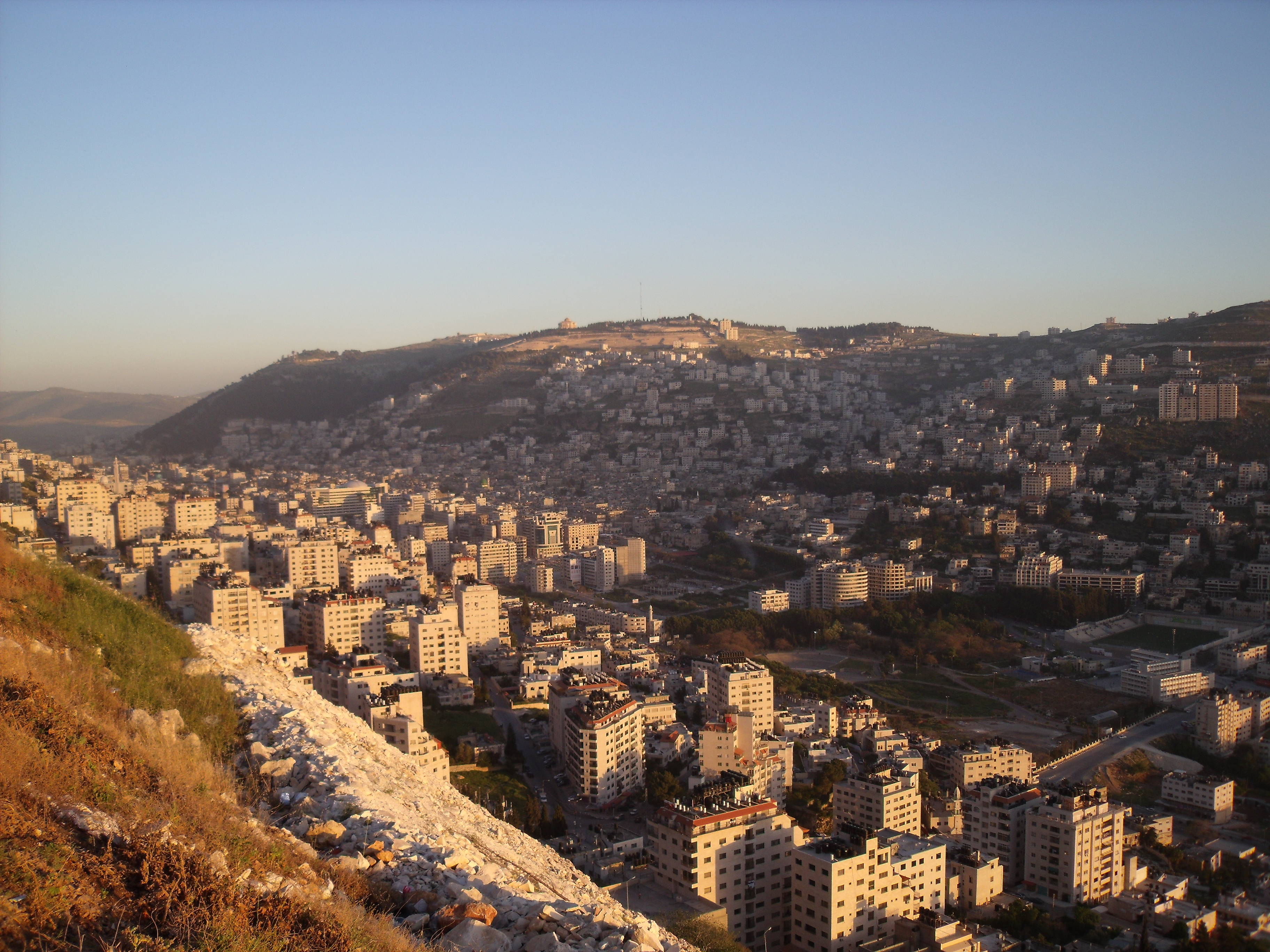
Nablus From Gerzim Mountain
Nablus Panoramic

Nablus city
Nablus city

Nablus Kindergarten
His view
Gerzim Mountain
Packing soap
Making soap
Nablus. Showing slope of Ebal
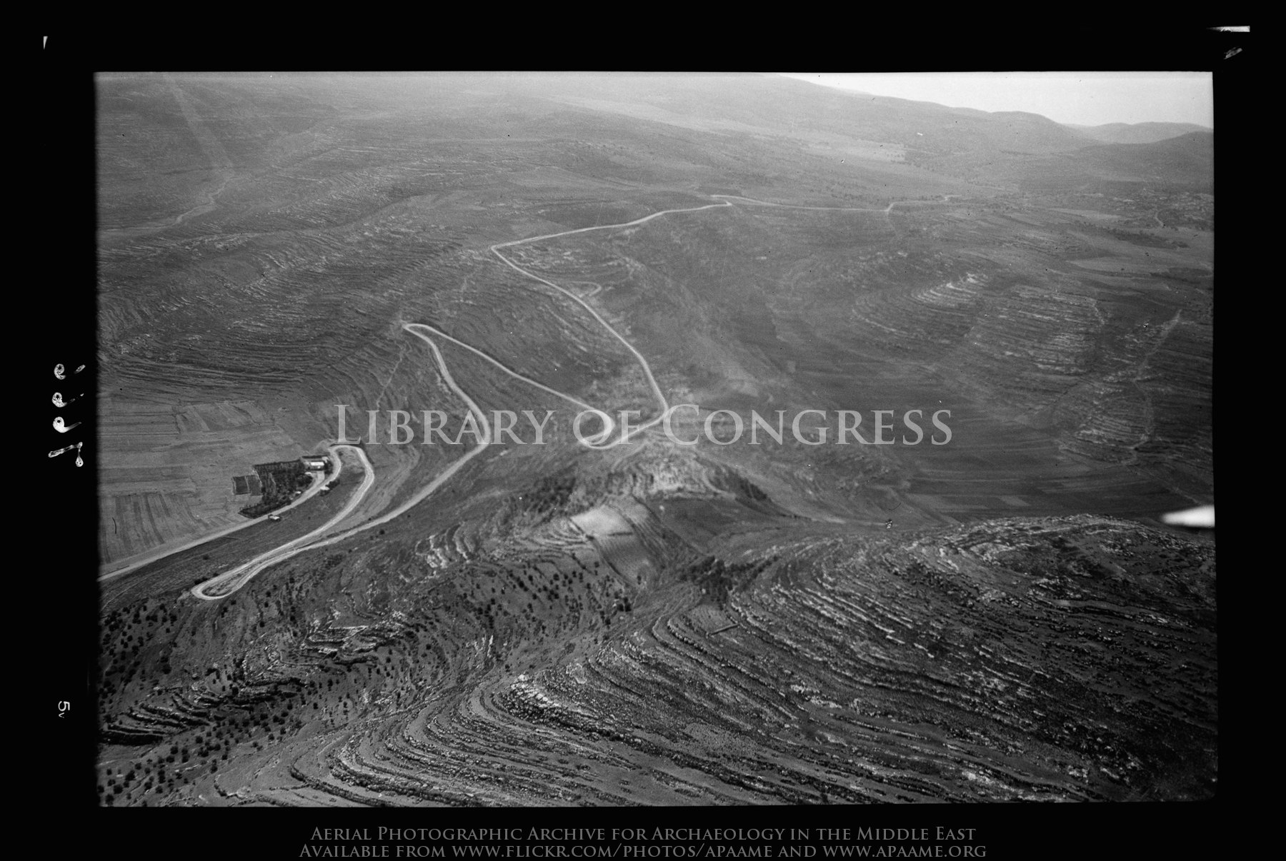
Lubban. Showing zig-zag motor road

View of Hong Kong, from Nablus
Camp; 4:15 a.m., view form sleeping tent at wake-up time. (1966, ID: cColepShechem044, Source: slide, Repository: NPAPH-project, Creator(s): Dan P. Cole)

The boys are back in town
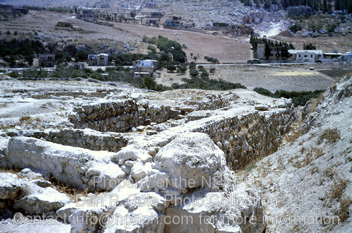
Fld VI; Outside of MB west wall of city; view from west gate (see cColepShechem036). (1962, ID: cColepShechem042, Source: slide, Repository: NPAPH-project, Creator(s): Dan P. Cole)
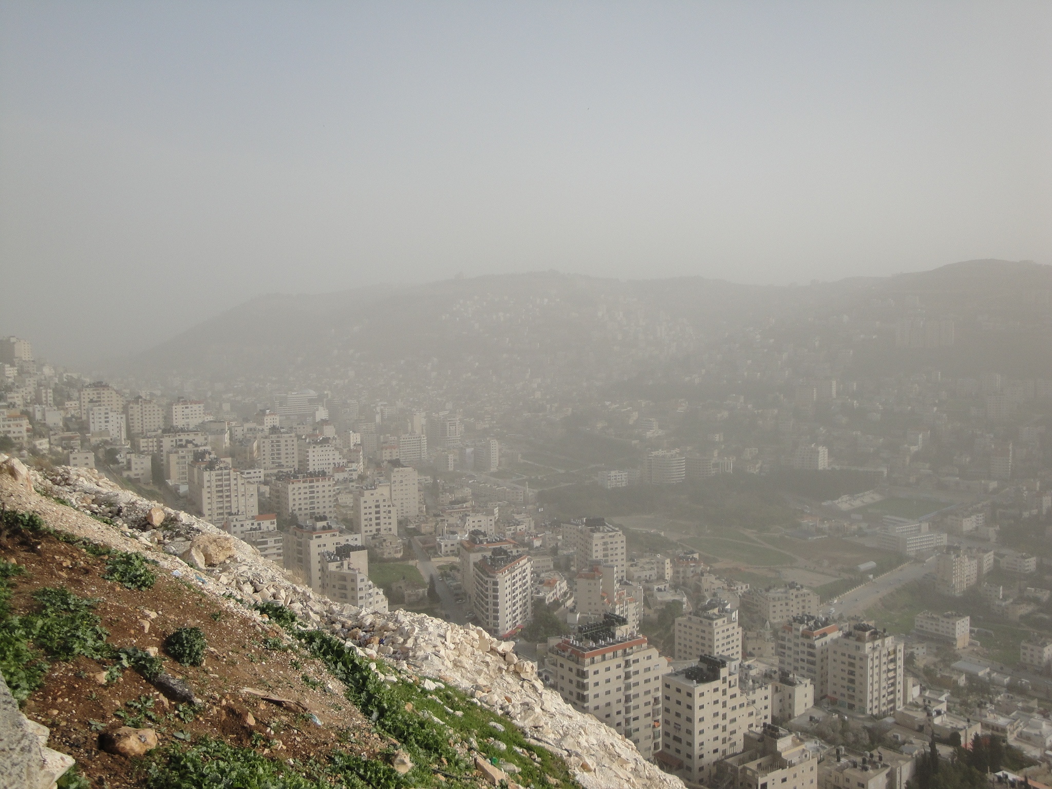
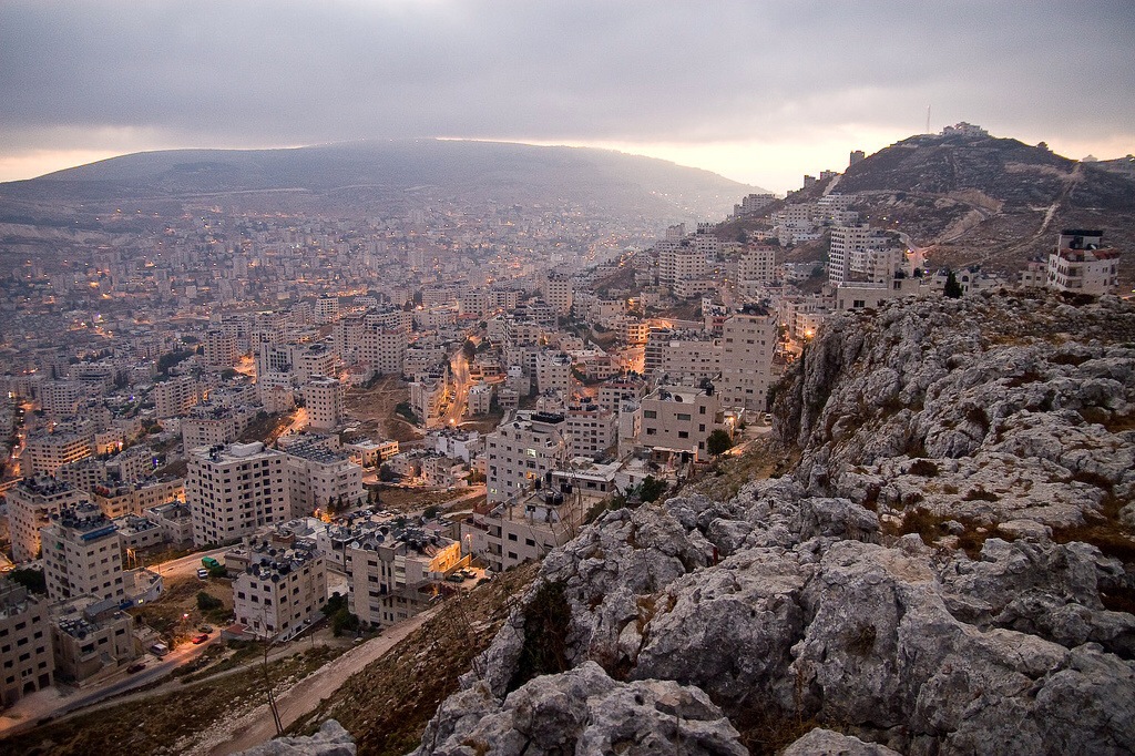
Misty view over Nablus
view of Rawabi
Ramallah - Nablus Biking round trip 121 km

Sinjil village / Palestine
Mount Gerizim, Shechem
Palm Fields
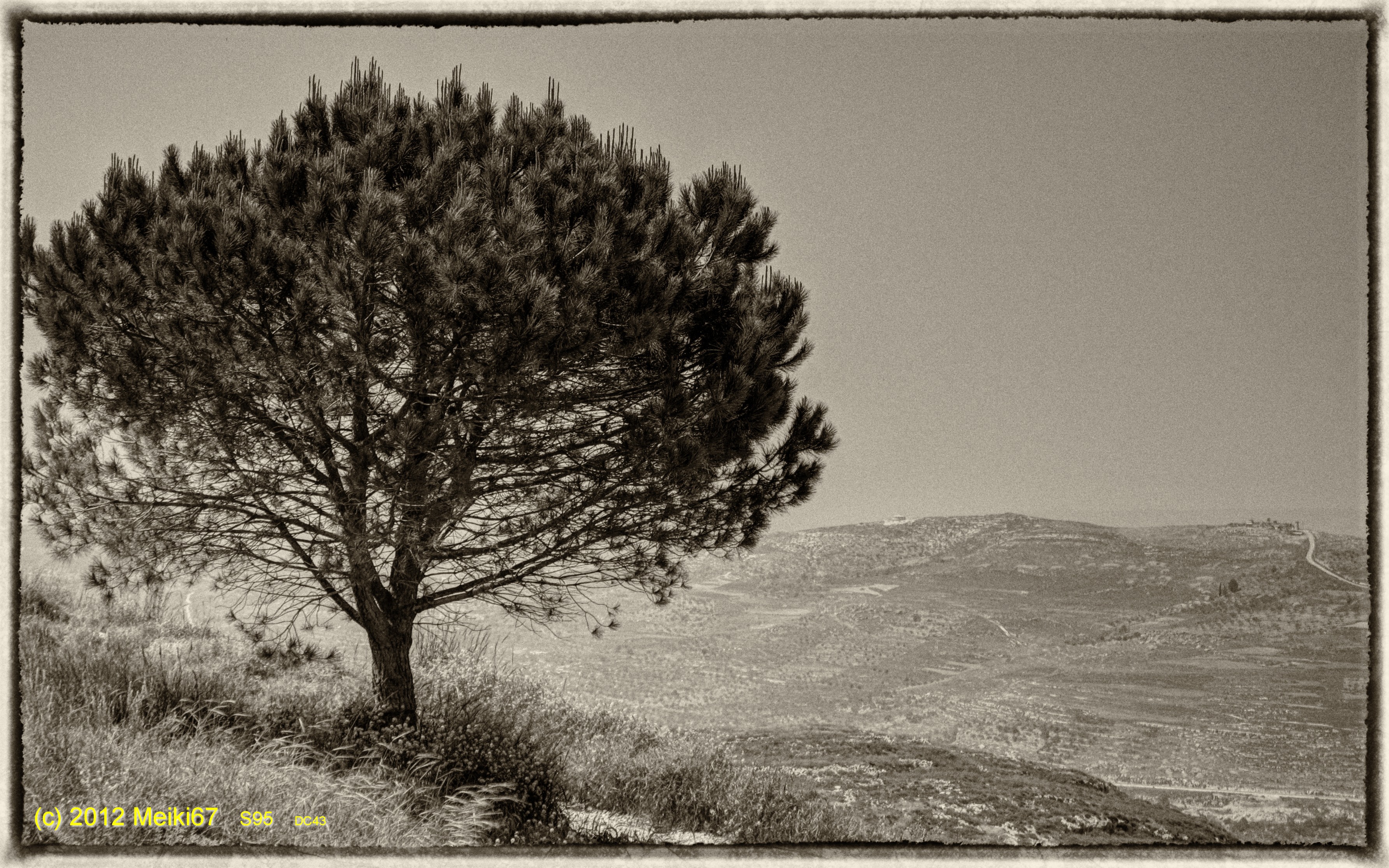
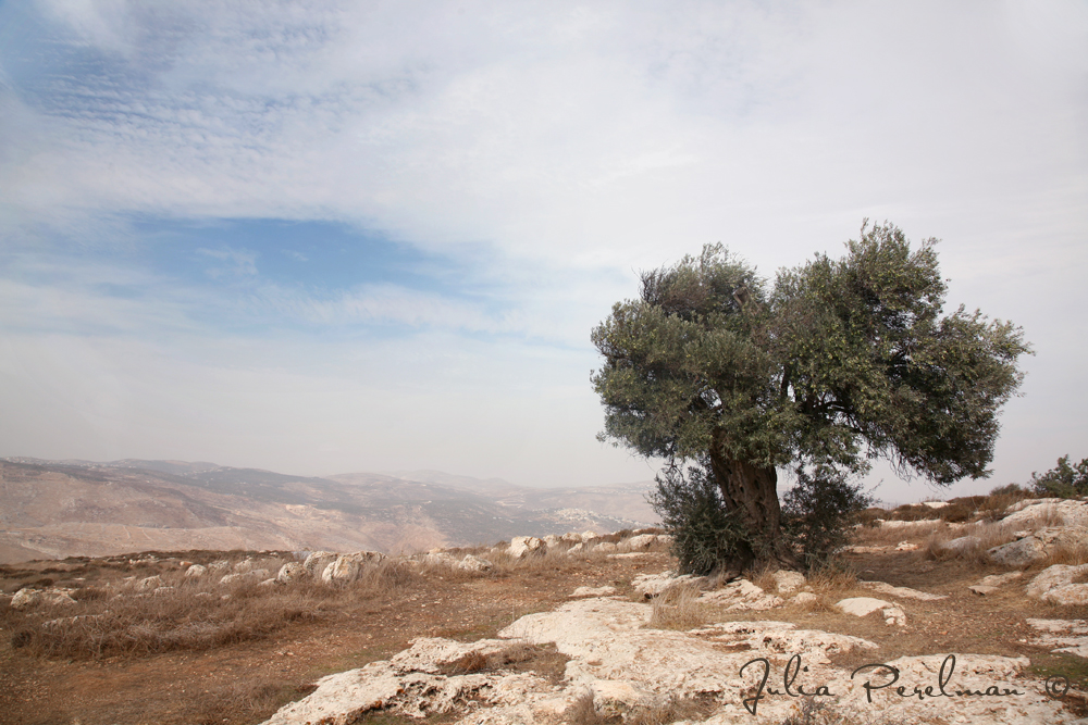
Lonely Tree in Yizhar II ●S95●
Nablus sarra
Samaritan village, near Nablus
Nablus city

Burin (22)
*
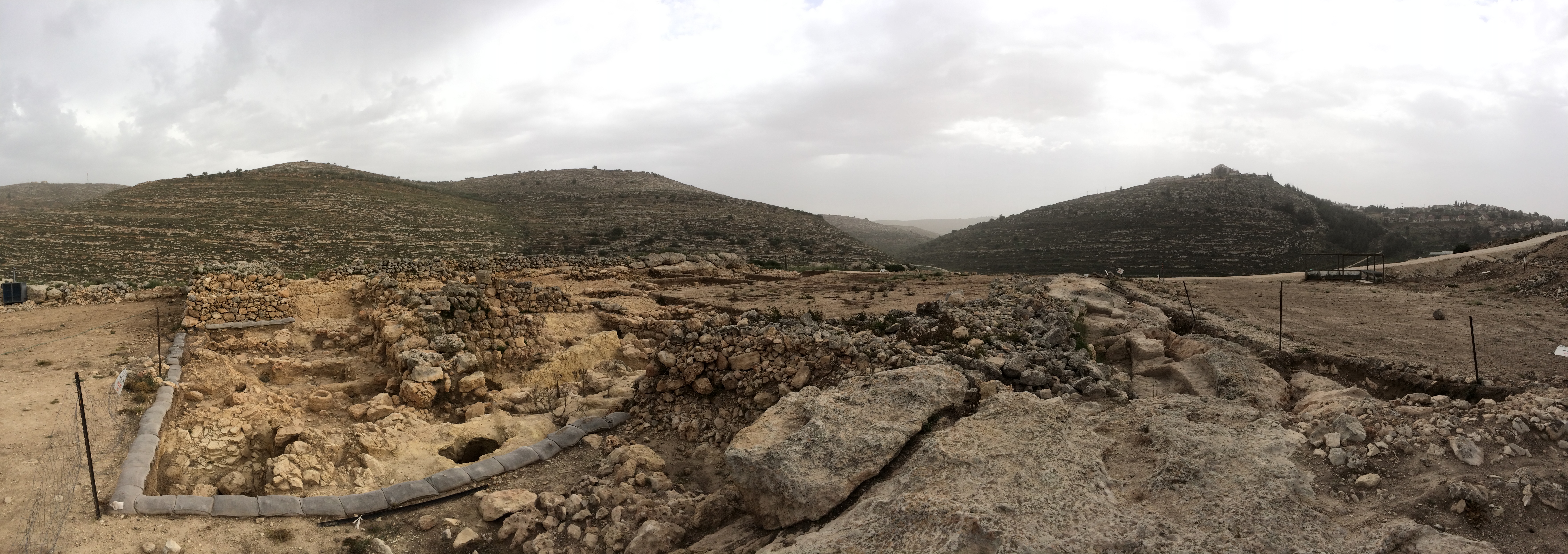
Ancient Shiloh
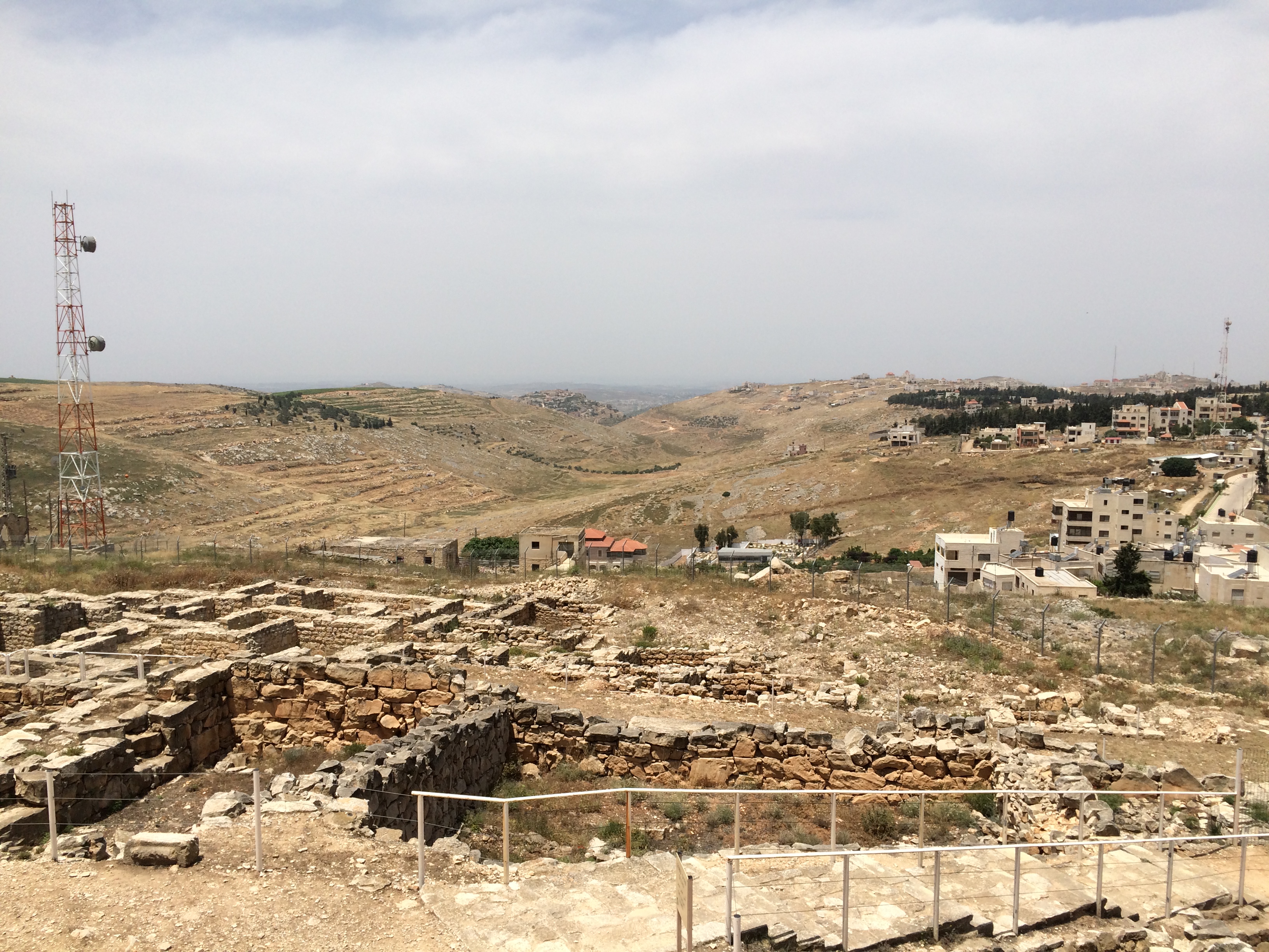
Mount Gerizim, Shechem

DSC_3061-7
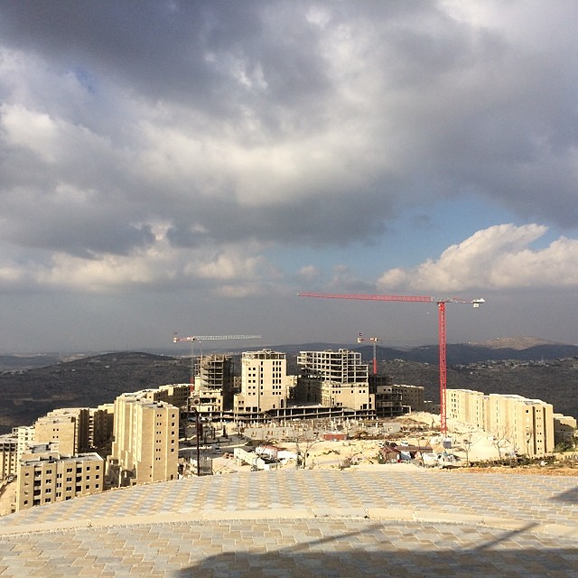
Bashar Masri, developer of Rawabi meets with us to talk with us about his vision for the city.

Nablus, Westbank, Israel
Nablus city

Nablus sarra
Sarra Nablus
Topographic Map of Kfar Tapuach
Find elevation by address:

Places near Kfar Tapuach:
Rehelim
Huwwarah
Ariel University
Klilat Yofi Street
Eli
Eli
Yitzhar
Ma'ale Levona
Unnamed Road
Derech Hanahshonim 54
Ari'el
Har Brakha
Jabal At Tur
Shiloh
Itamar
Rujeib
Jabal Jirzim
Har Gerizim
Shvut Rahel
Balata
Recent Searches:
- Elevation of Unnamed Road, Respublika Severnaya Osetiya — Alaniya, Russia
- Elevation of Verkhny Fiagdon, North Ossetia–Alania Republic, Russia
- Elevation of F. Viola Hiway, San Rafael, Bulacan, Philippines
- Elevation of Herbage Dr, Gulfport, MS, USA
- Elevation of Lilac Cir, Haldimand, ON N3W 2G9, Canada
- Elevation of Harrod Branch Road, Harrod Branch Rd, Kentucky, USA
- Elevation of Wyndham Grand Barbados Sam Lords Castle All Inclusive Resort, End of Belair Road, Long Bay, Bridgetown Barbados
- Elevation of Iga Trl, Maggie Valley, NC, USA
- Elevation of N Co Rd 31D, Loveland, CO, USA
- Elevation of Lindever Ln, Palmetto, FL, USA