Elevation of Shiobite-29 Akougi, Namie-machi, Futaba-gun, Fukushima-ken -, Japan
Location: Japan > Fukushima Prefecture > Futaba District > Namie >
Longitude: 140.799982
Latitude: 37.5675149
Elevation: 362m / 1188feet
Barometric Pressure: 97KPa
Elevation Map:
Satellite Map:
Related Photos:
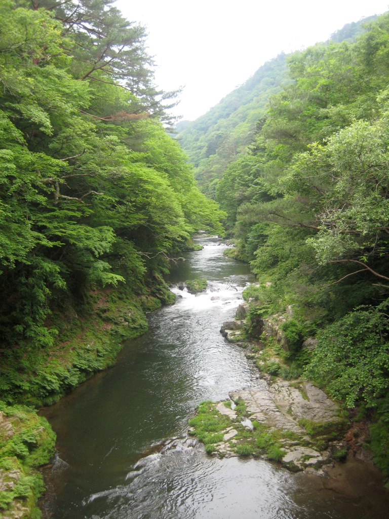
Takase River 2
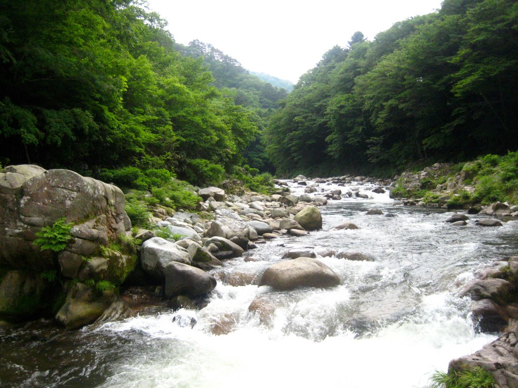
Takase River

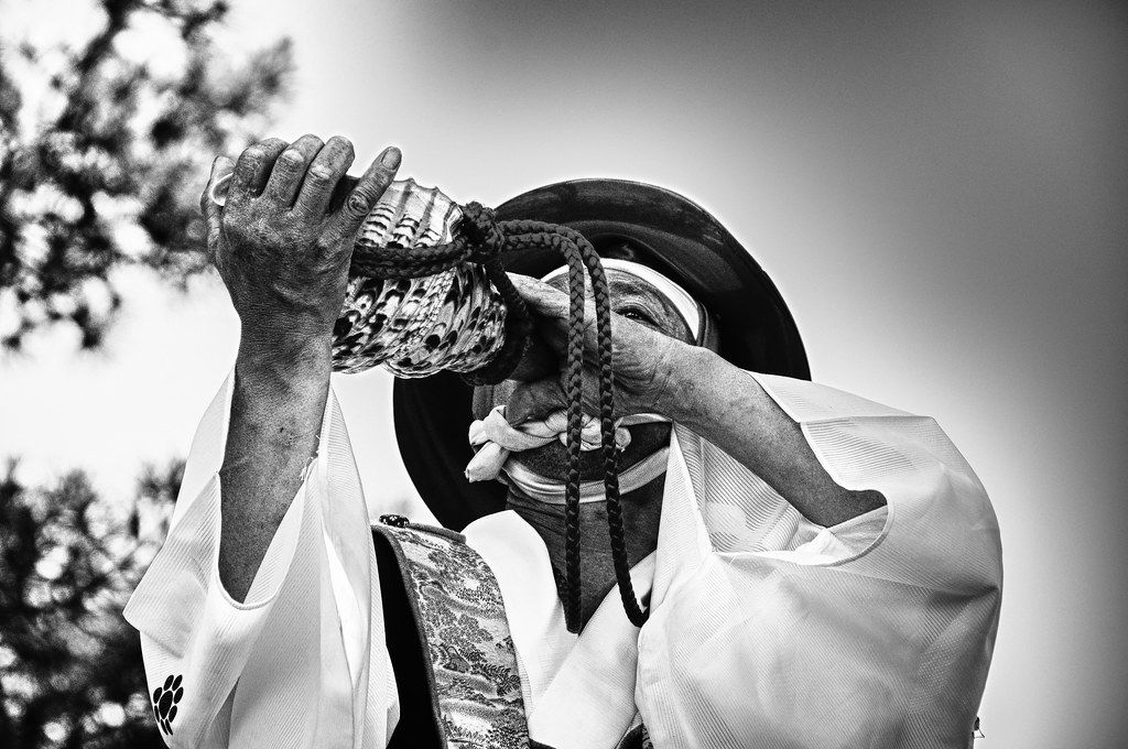
Alice at the Gorge

On the road again in #Fukushima, enjoying beautiful rice fields landscapes. #japan
S O M A

9.40uSv/h, 5/18/2016@Namie, JP

1.75uSv/h, 5/18/2016@Namie, JP
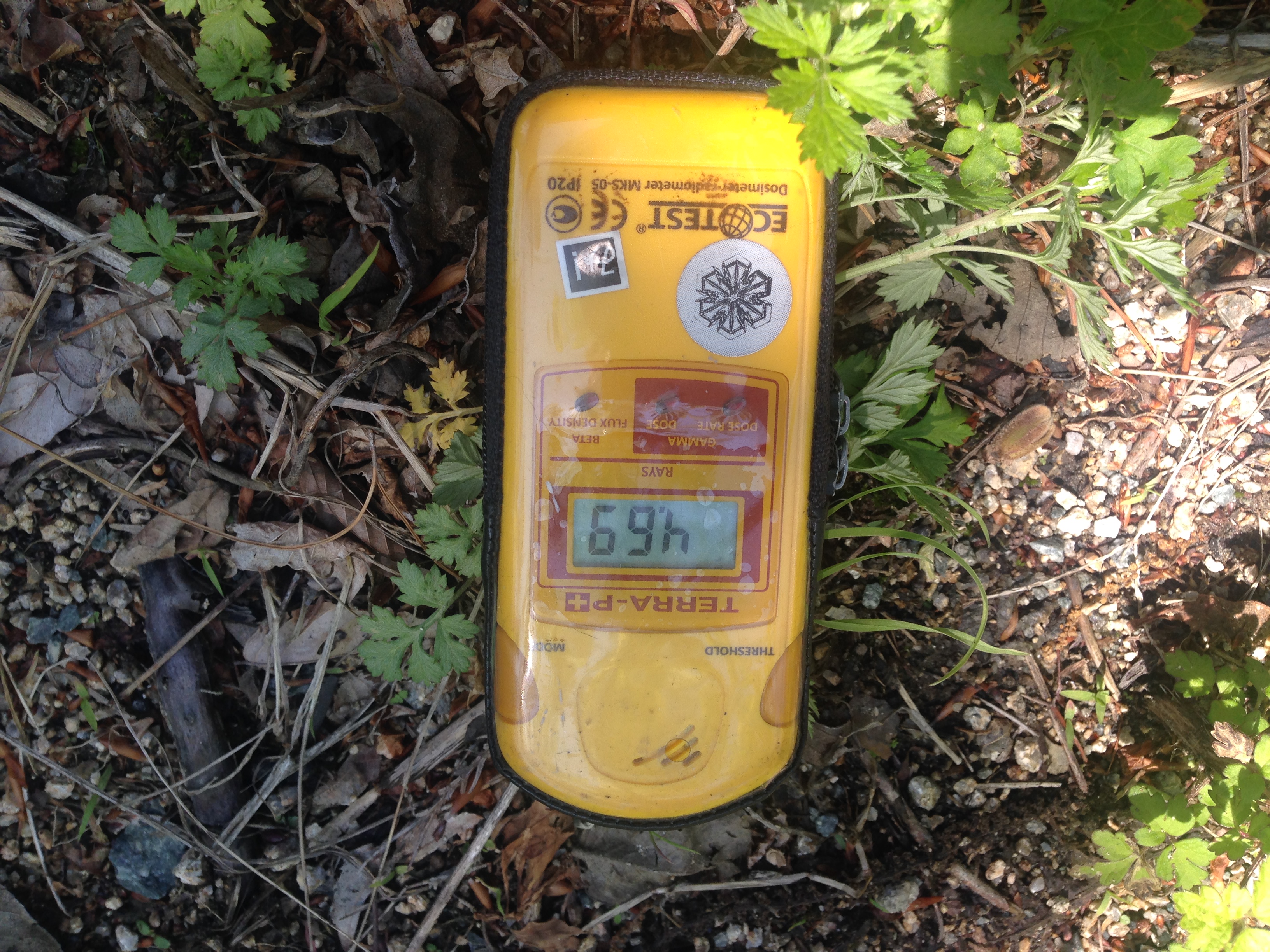
4.69uSv/h, 5/18/2016@Namie, JP

uSv/h, 5/18/2016@Namie, JP
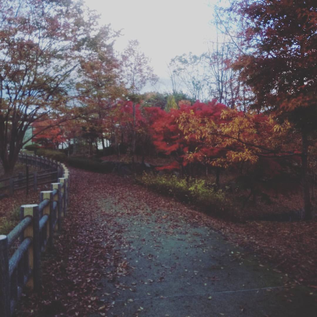
博物館の紅葉
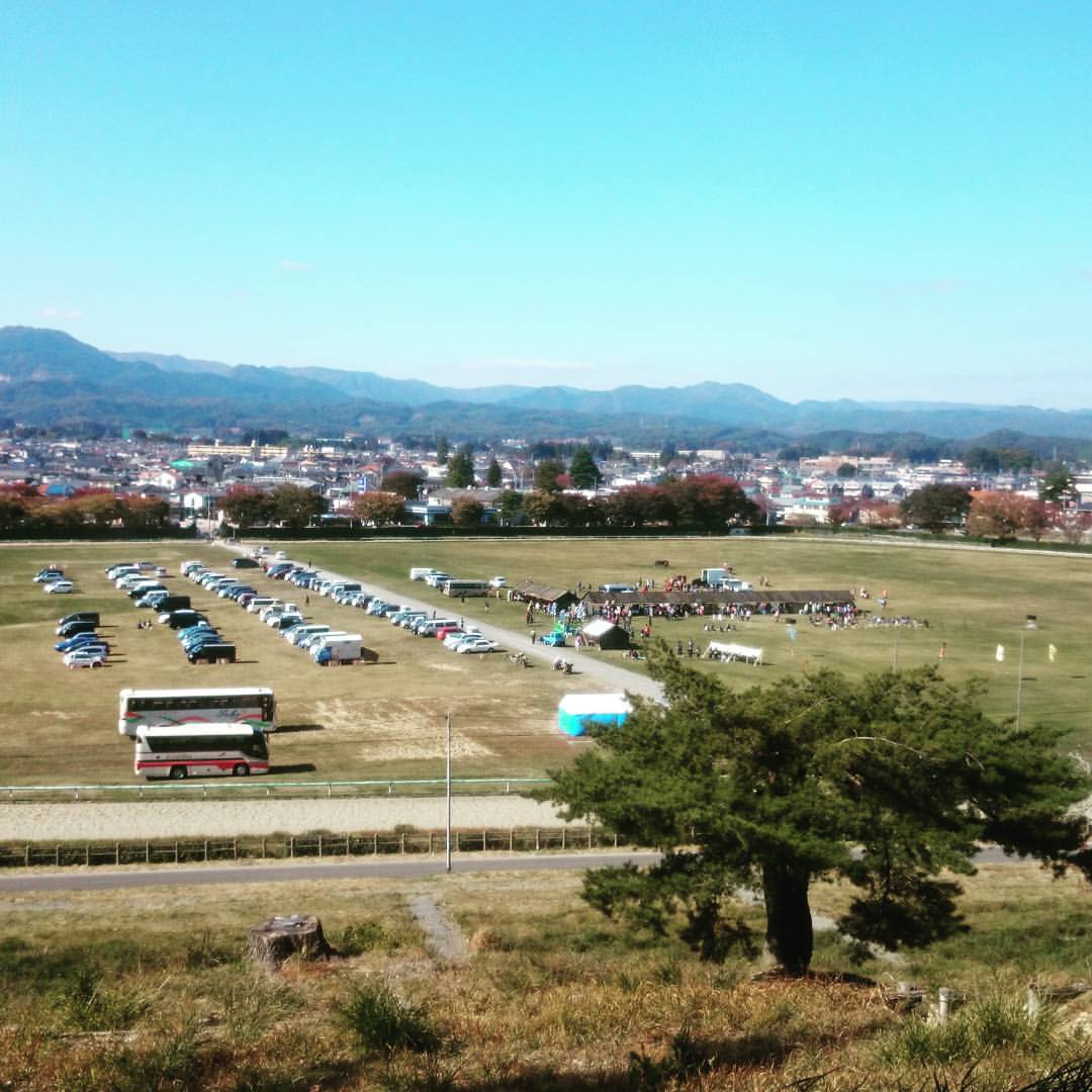
何か行われています。
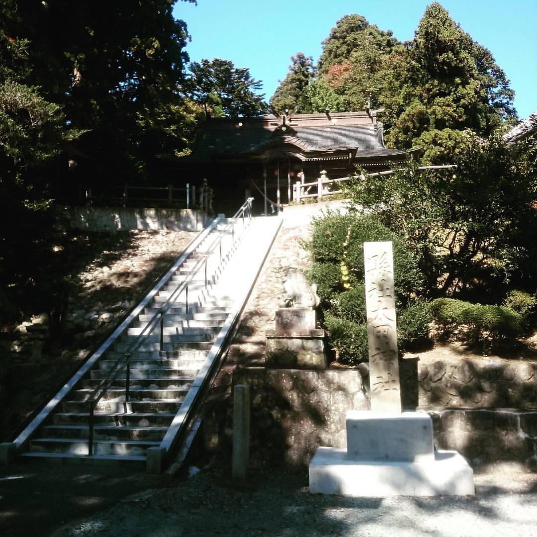
参拝しました。
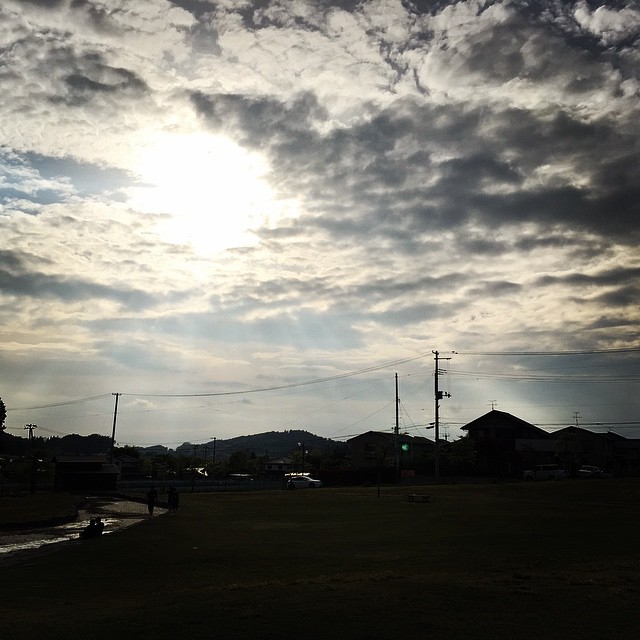
晴天です。
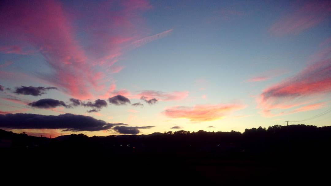
夕焼けを見たのは久しぶりな感じ。
at a #spring #day in #park
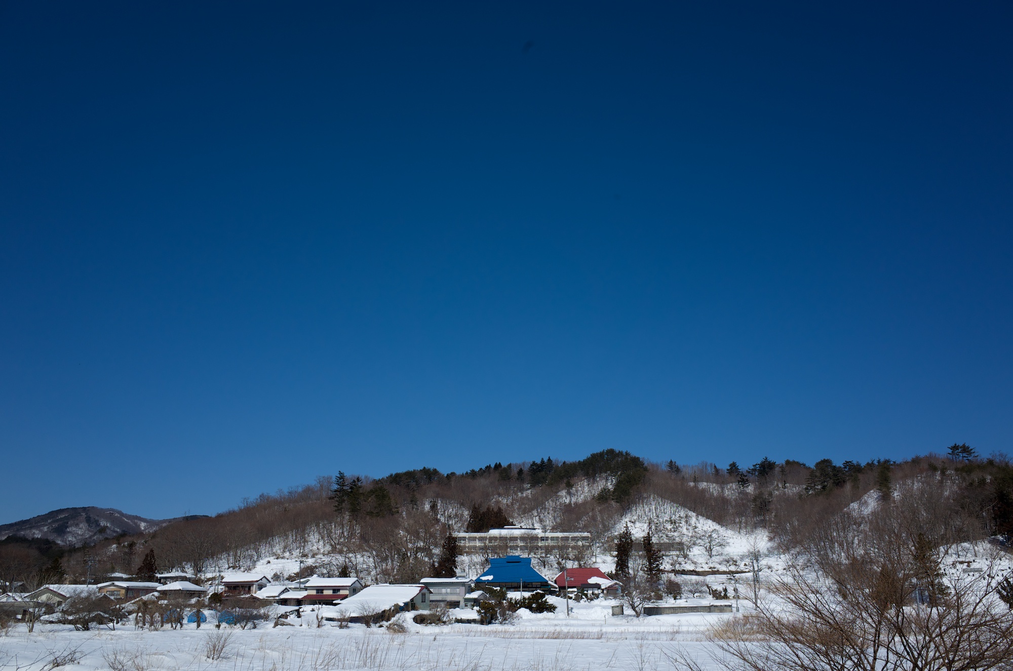
20140224 11:49 Namiemachi,Fukushima
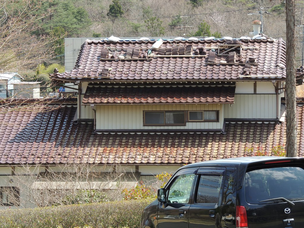
屋根の修理 南相馬
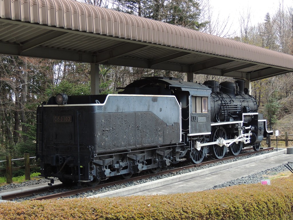
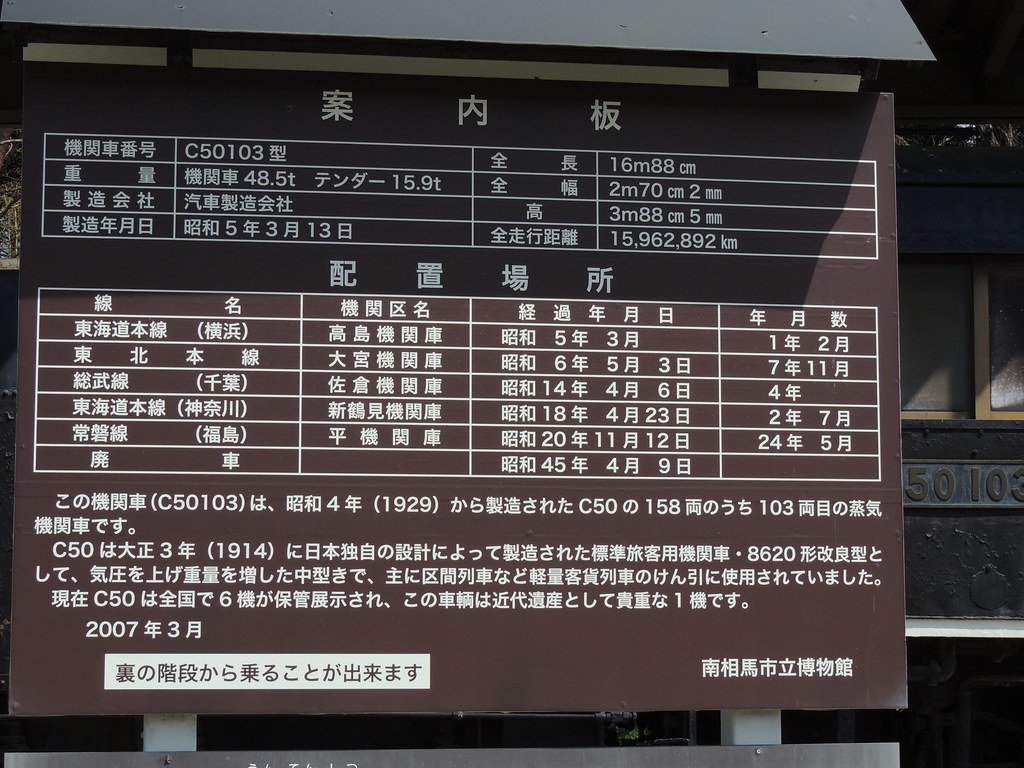
C50103 南相馬市博物館
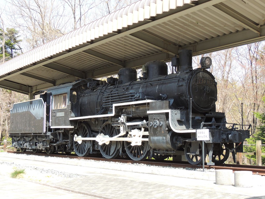
C50103 南相馬市博物館
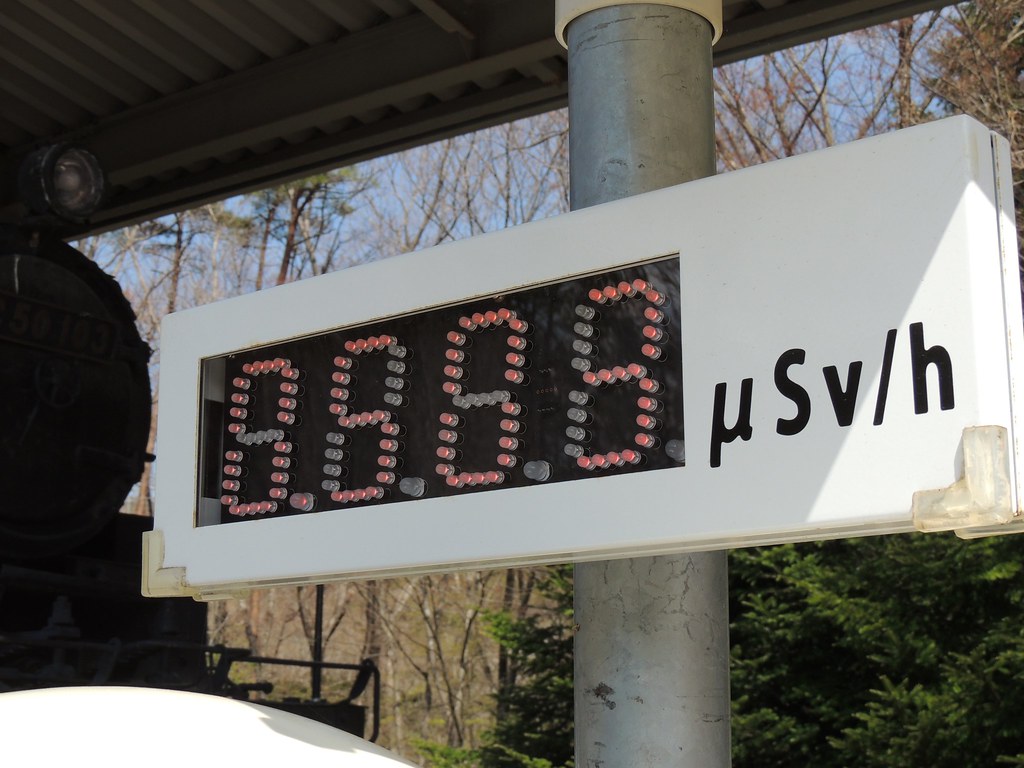
C50103 南相馬市博物館 05.03マイクロシーベルト/h

C50103 南相馬市博物館 05.03マイクロシーベルト/h
C50103 南相馬市博物館 05.03マイクロシーベルト/h
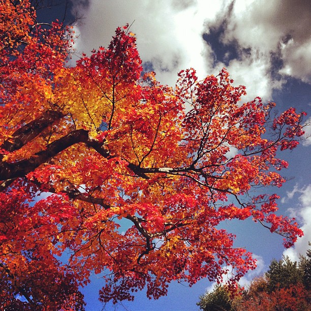
原発事故 計画的避難区域の紅葉
Topographic Map of Shiobite-29 Akougi, Namie-machi, Futaba-gun, Fukushima-ken -, Japan
Find elevation by address:

Places near Shiobite-29 Akougi, Namie-machi, Futaba-gun, Fukushima-ken -, Japan:
Ōgaki- Kawabusa, Namie-machi, Futaba-gun, Fukushima-ken -, Japan
Yaguno-20 Kawabusa, Namie-machi, Futaba-gun, Fukushima-ken -, Japan
Ochiai-48 Ochiai, Katsurao-mura, Futaba-gun, Fukushima-ken -, Japan
Katsurao
Nagadoro- Hiso, Iitate-mura, Sōma-gun, Fukushima-ken -, Japan
Natsui- Komiya, Iitate-mura, Sōma-gun, Fukushima-ken -, Japan
Numadaira-75 Komiya, Iitate-mura, Sōma-gun, Fukushima-ken -, Japan
Shiragane-52 Ashihara, Iitate-mura, Sōma-gun, Fukushima-ken -, Japan
Kamihiso- Hiso, Iitate-mura, Sōma-gun, Fukushima-ken -, Japan
Kamiyagisawa- Yagisawa, Iitate-mura, Sōma-gun, Fukushima-ken -, Japan
Tokorokubo-10 Iitoi, Iitate-mura, Sōma-gun, Fukushima-ken -, Japan
Iitate
Kozuma-61 Matsuzuka, Iitate-mura, Sōma-gun, Fukushima-ken -, Japan
Soma District
Nagahashi-92 Fukaya, Iitate-mura, Sōma-gun, Fukushima-ken -, Japan
Kotogi- Ōkura, Iitate-mura, Sōma-gun, Fukushima-ken -, Japan
Machi-4 Usuishi, Iitate-mura, Sōma-gun, Fukushima-ken -, Japan
Kaedezawa-30 Nogami, Ōkuma-machi, Futaba-gun, Fukushima-ken -, Japan
Ushirohata- Ōbori, Namie-machi, Futaba-gun, Fukushima-ken -, Japan
Minamisoma
Recent Searches:
- Elevation of Hobbyhorse Ct, Dover, DE, USA
- Elevation of Horseshoe Ln, Dahlonega, GA, USA
- Elevation of Village Point Dr, Daphne, AL, USA
- Elevation map of Kabardino-Balkarian Republic, Russia
- Elevation of Tyrnyauz, Kabardino-Balkarian Republic, Russia
- Elevation of Sunset Dr, Hernando, MS, USA
- Elevation of Lake Rotoroa, Tasman, New Zealand
- Elevation of George St, New Bern, NC, USA
- Elevation of Cove Rd, Jasper, GA, USA
- Elevation of Cove Rd, Jasper, GA, USA