Elevation of Ushirohata- Ōbori, Namie-machi, Futaba-gun, Fukushima-ken -, Japan
Location: Japan > Fukushima Prefecture > Futaba District > Namie >
Longitude: 140.941125
Latitude: 37.4723588
Elevation: 48m / 157feet
Barometric Pressure: 101KPa
Elevation Map:
Satellite Map:
Related Photos:
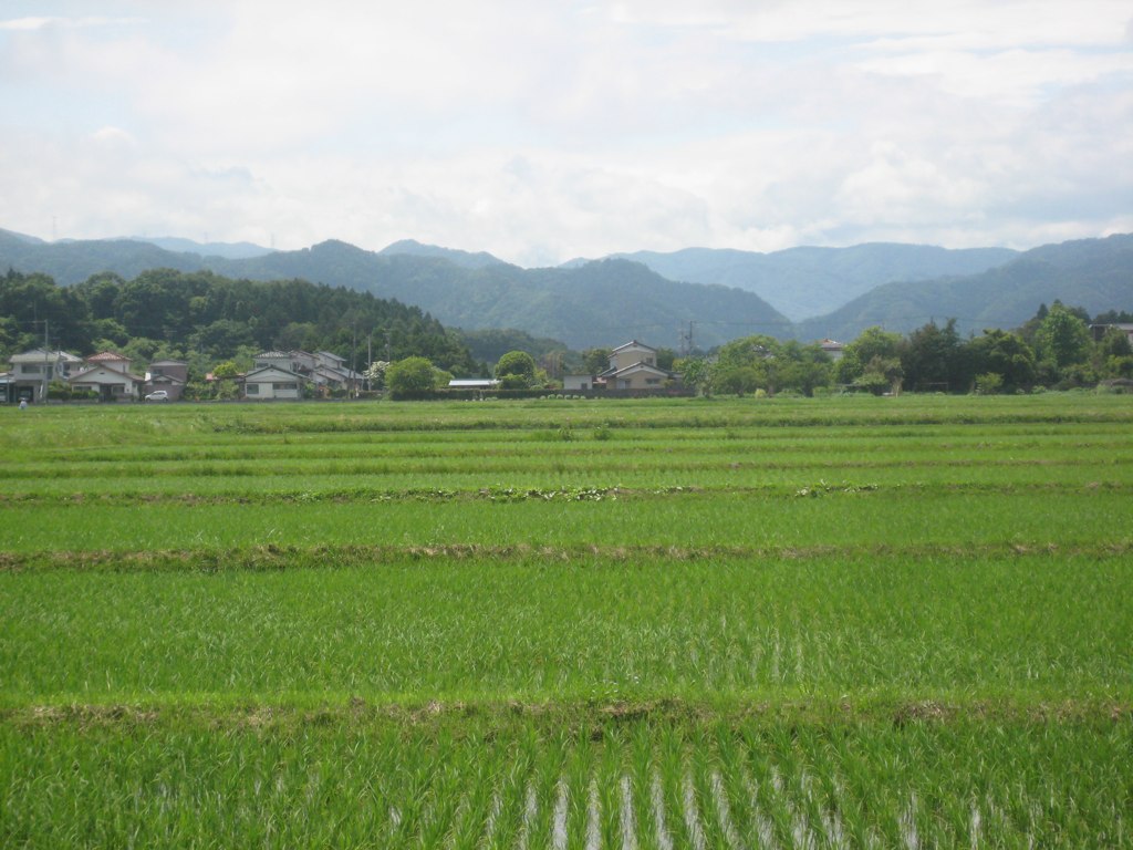
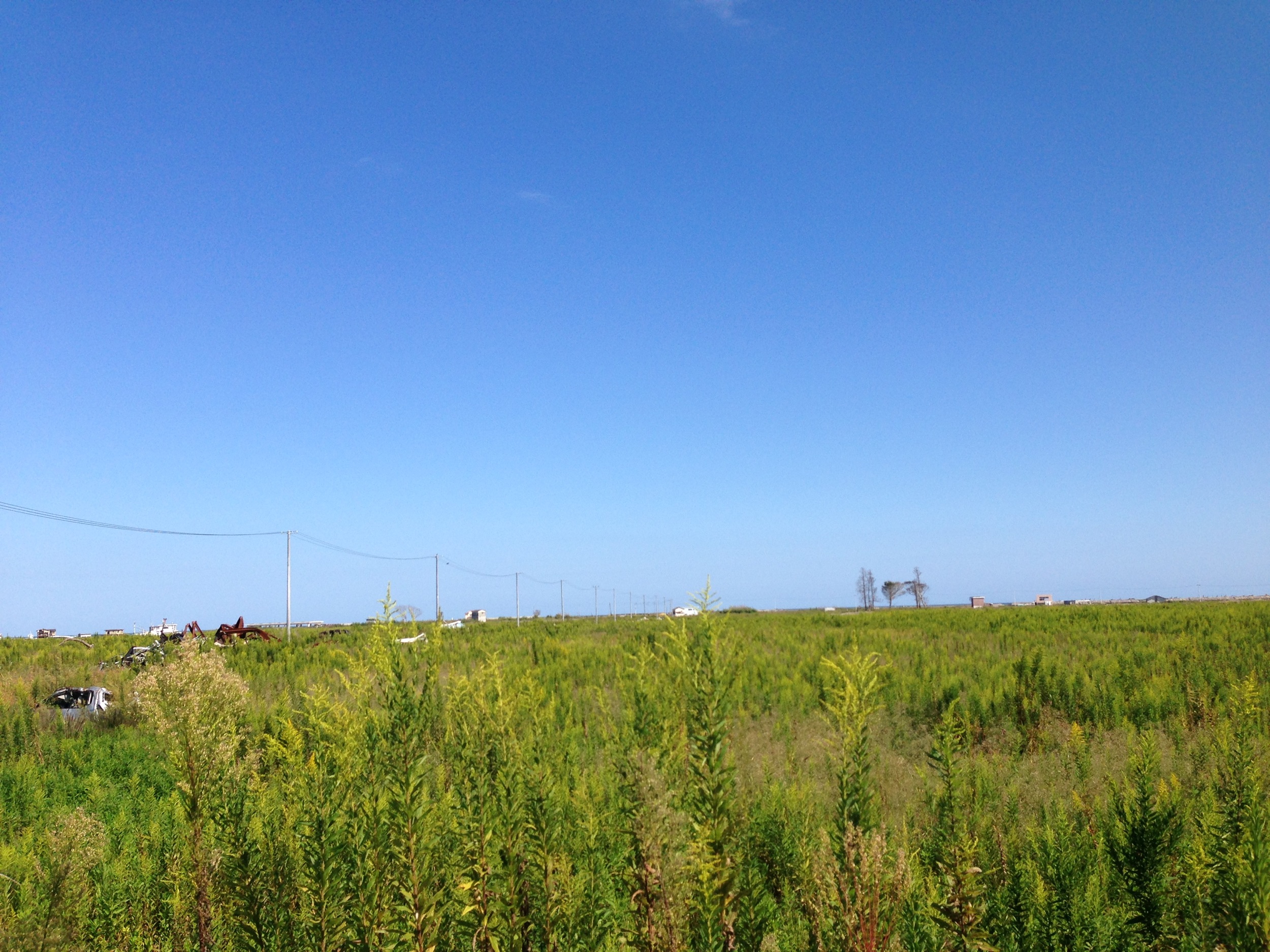
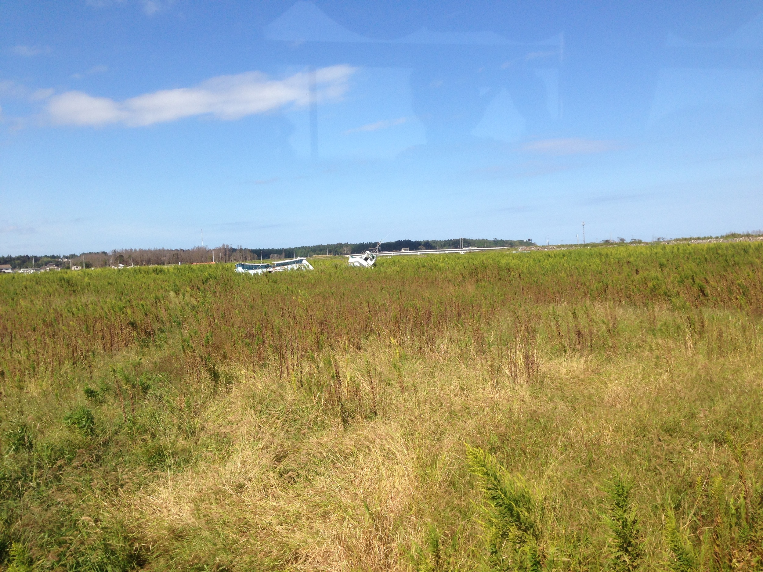
Ricefields & Mountains
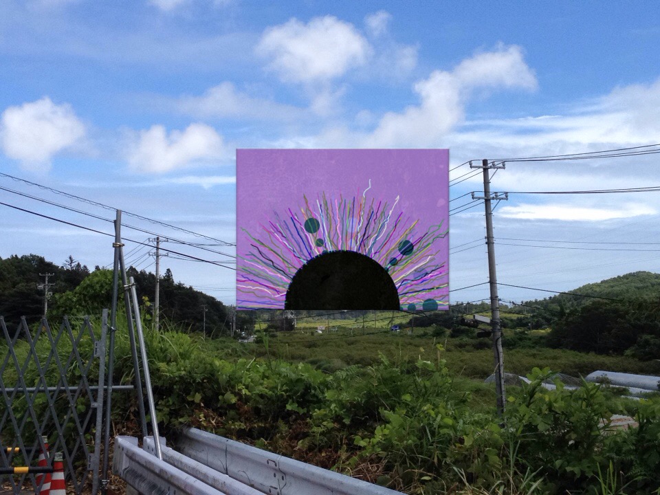
View of "dadaHat" - Monday, 1 August 2016 - 12:04 GMT+0900
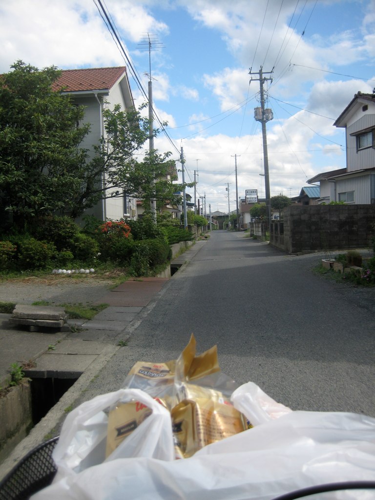
Rider's-Eye-View of my street

one's old home
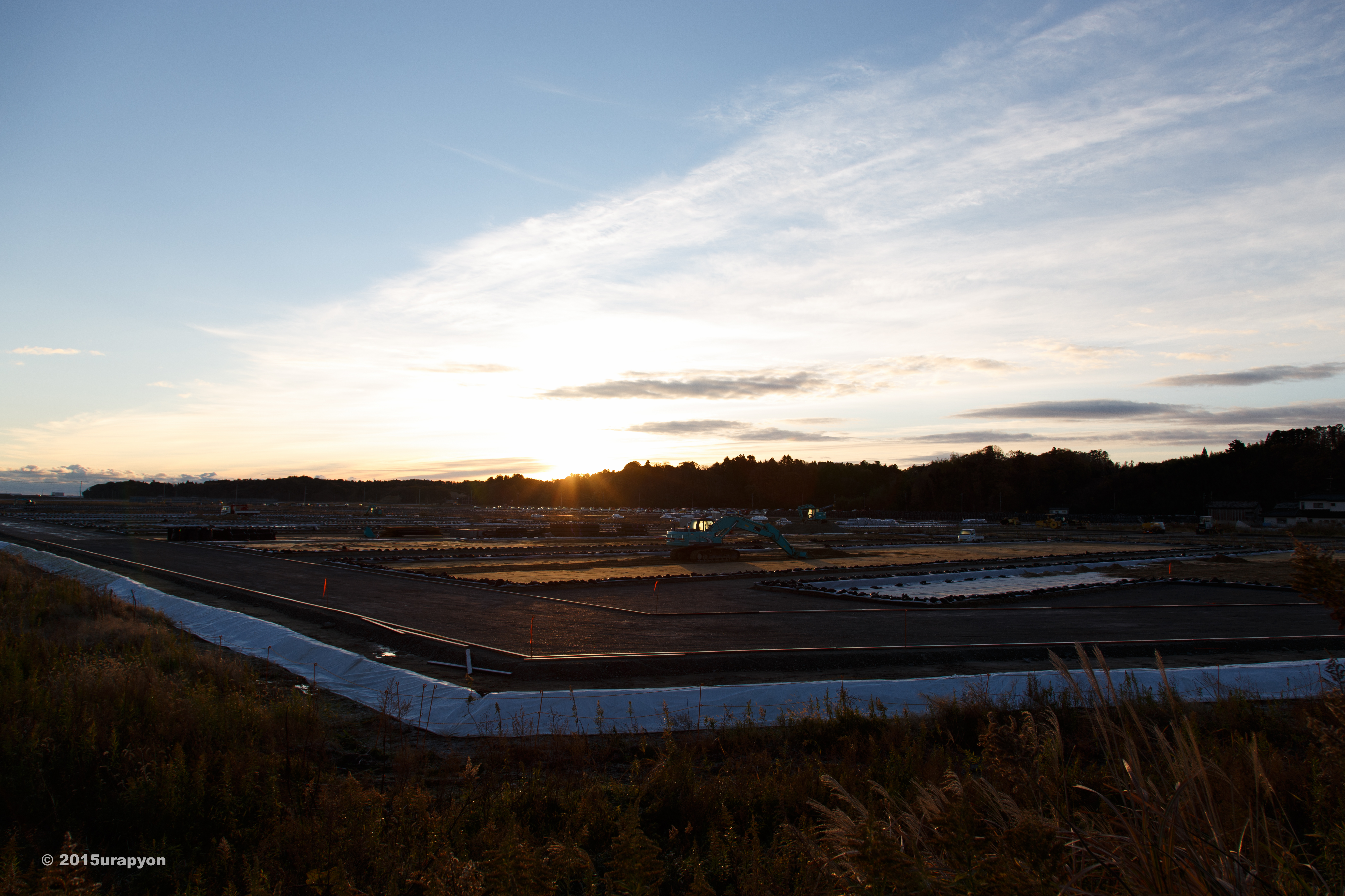
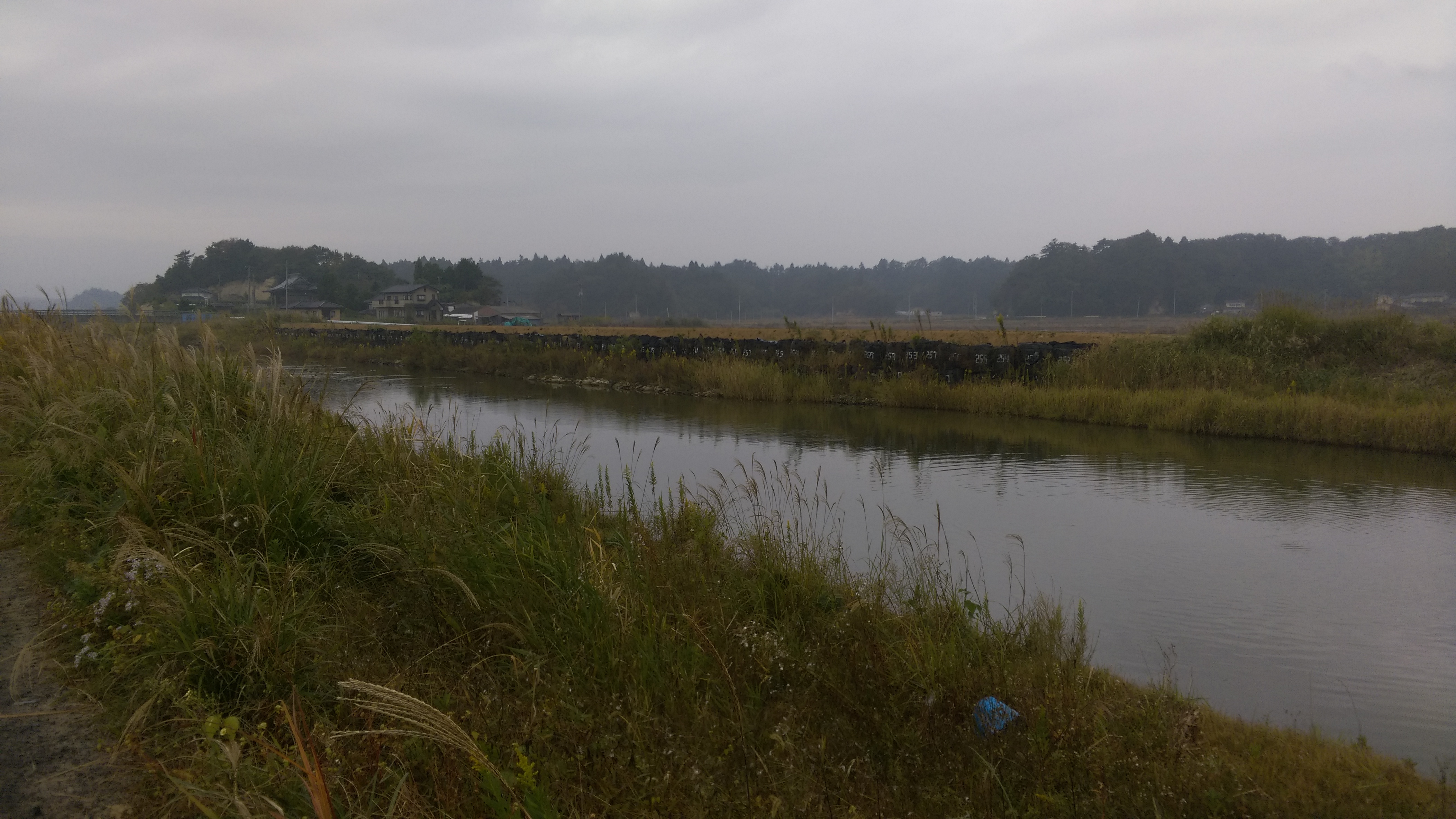
南相馬市の除染廃棄物仮置き場
4Djp_1106-002-p01
4Djp_1106-002-p03
4Djp_1106-002-p07
4Djp_1106-002-p04
4Djp_1106-002-p08
4Djp_1106-002-p05
4Djp_1106-002-p02
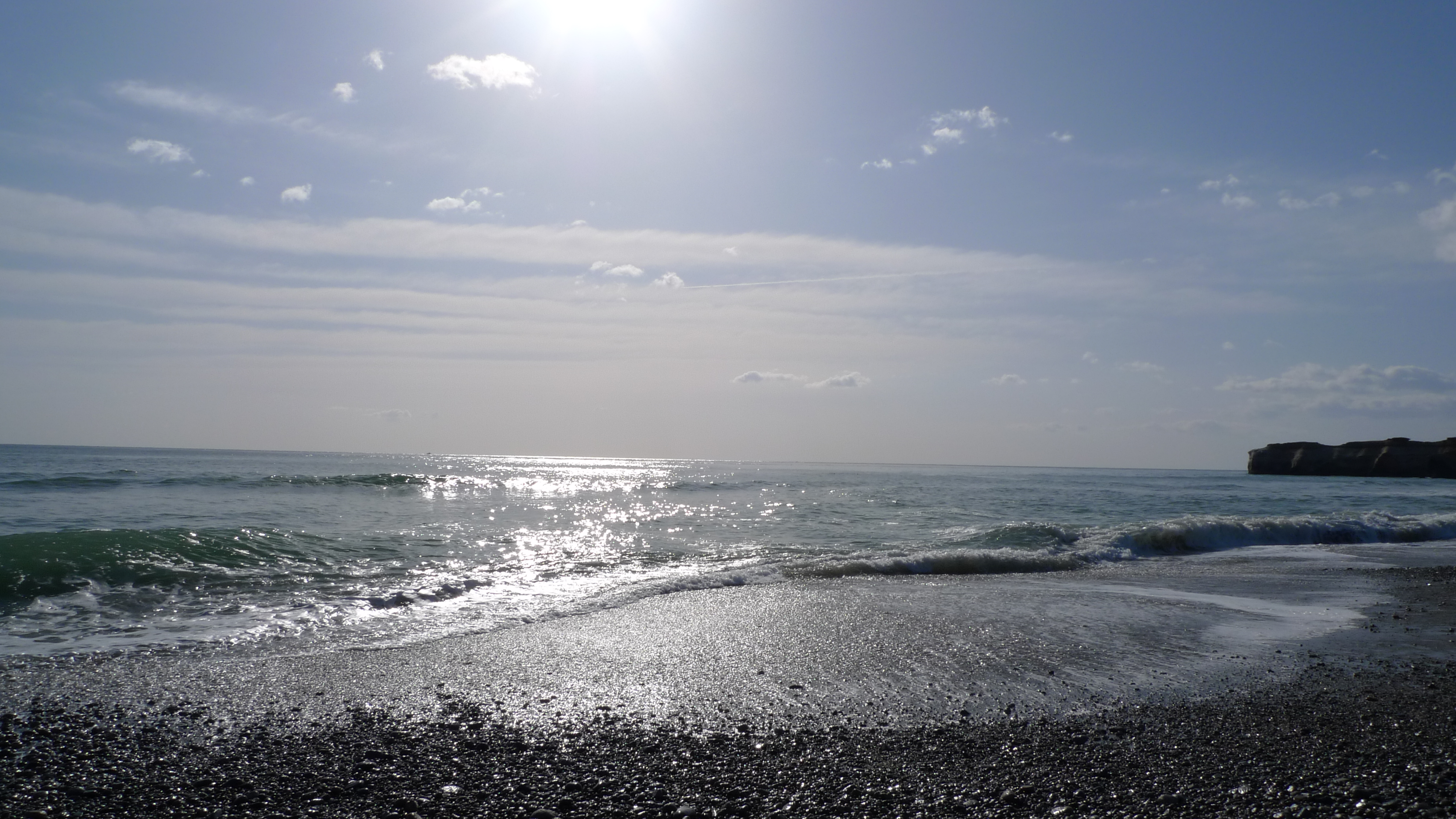
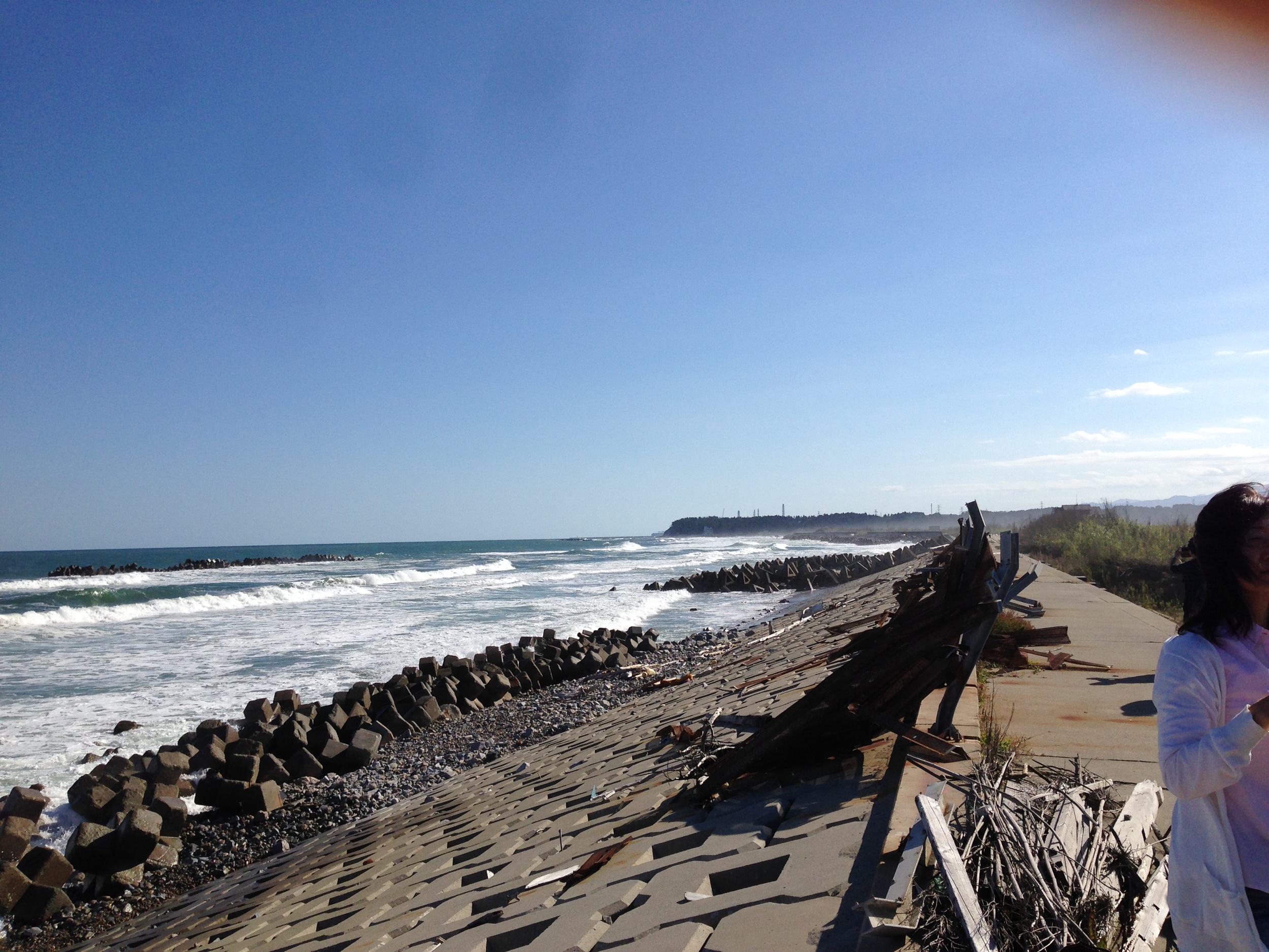
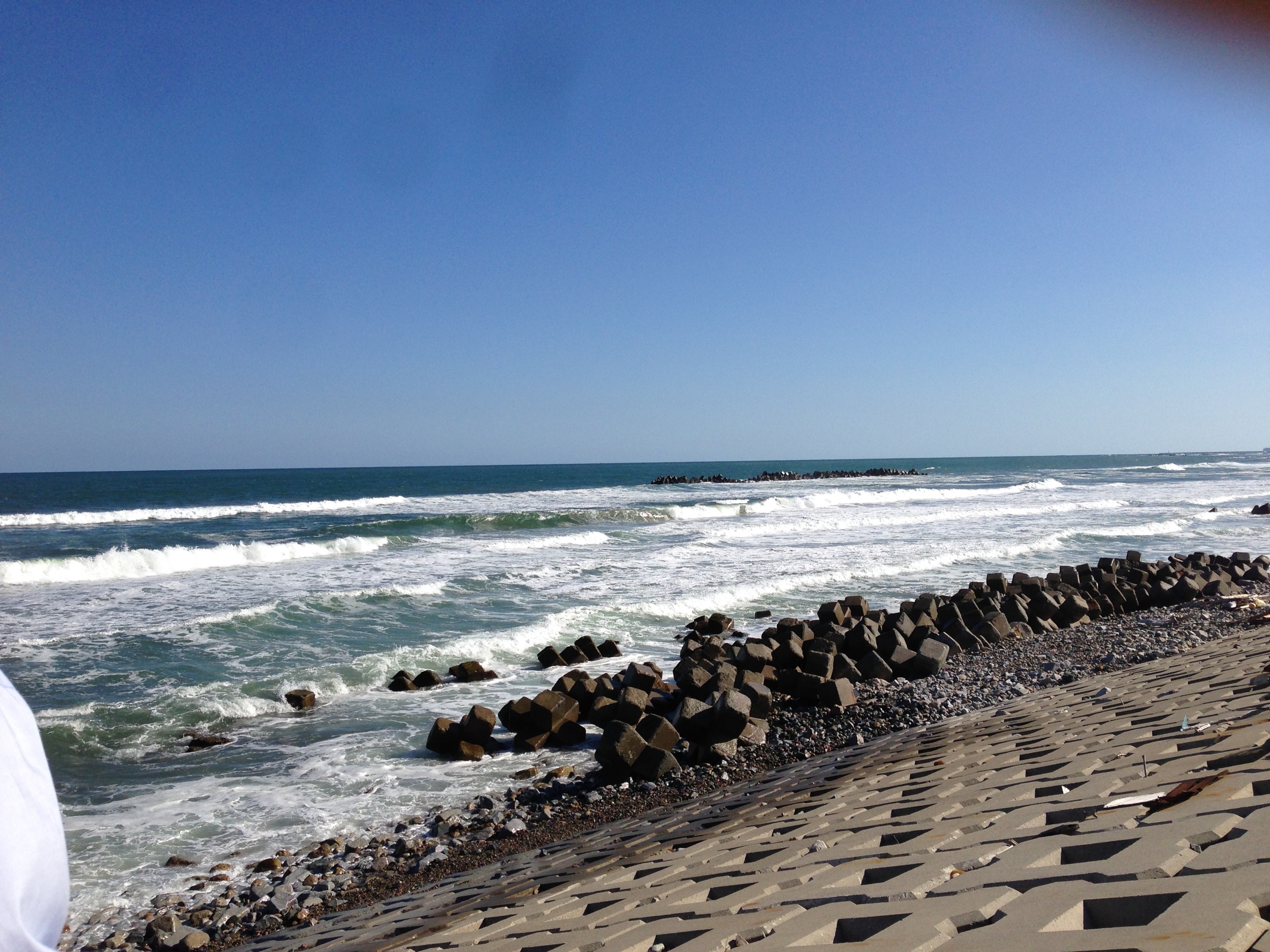
とりあえず常磐道終点で海を見る
Itate, Minamisoma & Namie-32
Itate, Minamisoma & Namie-33
Itate, Minamisoma & Namie-29
Collecting sediment samples in the vicinity of Fukushima Daiichi Nuclear Power plant
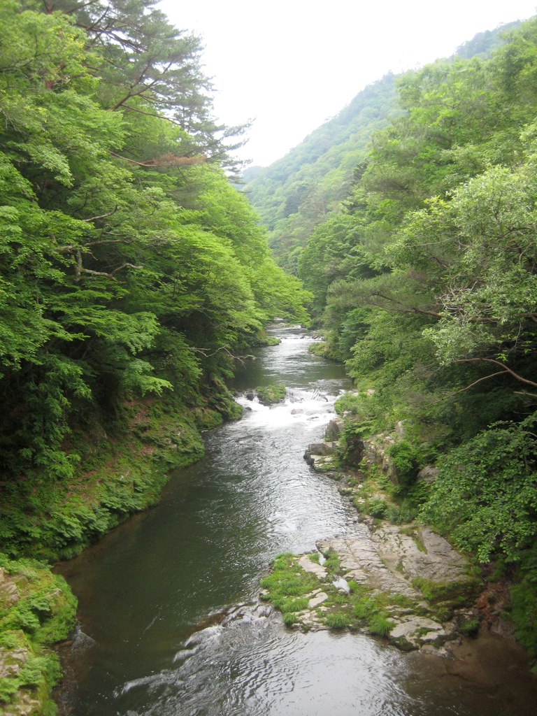
Takase River 2
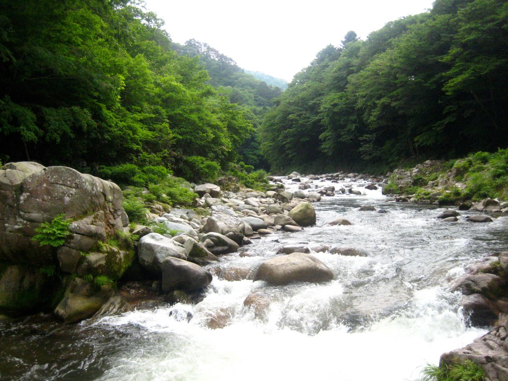
Takase River
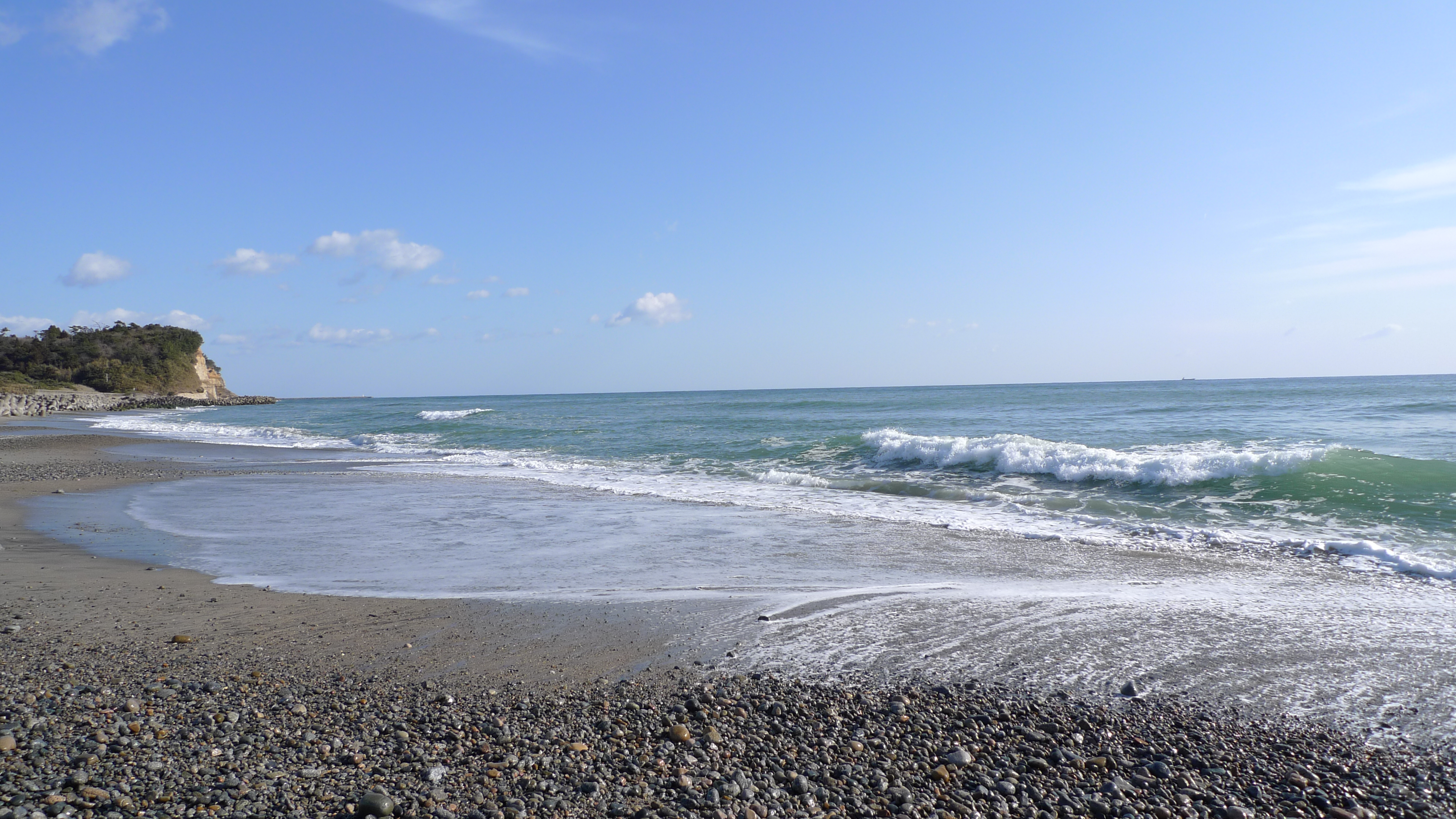
とりあえず常磐道終点で海を見る
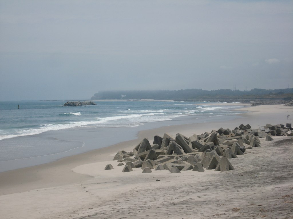
The Beach at Ukedo
Itate, Minamisoma & Namie-22

Itate, Minamisoma & Namie-21
Topographic Map of Ushirohata- Ōbori, Namie-machi, Futaba-gun, Fukushima-ken -, Japan
Find elevation by address:

Places near Ushirohata- Ōbori, Namie-machi, Futaba-gun, Fukushima-ken -, Japan:
Sakashita-66 Onoda, Namie-machi, Futaba-gun, Fukushima-ken -, Japan
Karasawa- Terasawa, Futaba-machi, Futaba-gun, Fukushima-ken -, Japan
Dōmae-4 Yatsuda, Namie-machi, Futaba-gun, Fukushima-ken -, Japan
Shibata--56 Kakura, Namie-machi, Futaba-gun, Fukushima-ken -, Japan
Sawairi- Kamihatori, Futaba-machi, Futaba-gun, Fukushima-ken -, Japan
Nakauenohara- Kawazoe, Namie-machi, Futaba-gun, Fukushima-ken -, Japan
Enokiuchi- Kamihatori, Futaba-machi, Futaba-gun, Fukushima-ken -, Japan
Shitae-83 Shibukawa, Futaba-machi, Futaba-gun, Fukushima-ken -, Japan
Hara- Sakata, Namie-machi, Futaba-gun, Fukushima-ken -, Japan
Sakashita--4 Nishidai, Namie-machi, Futaba-gun, Fukushima-ken -, Japan
Akashiba-6 Mizusawa, Futaba-machi, Futaba-gun, Fukushima-ken -, Japan
Ubagami- Nogami, Ōkuma-machi, Futaba-gun, Fukushima-ken -, Japan
Namie
Nishidai-15 Kōnokusa, Futaba-machi, Futaba-gun, Fukushima-ken -, Japan
Suwa- Nogami, Ōkuma-machi, Futaba-gun, Fukushima-ken -, Japan
Koeda-77 Nagatsuka, Futaba-machi, Futaba-gun, Fukushima-ken -, Japan
Futaba District
Futaba
Chūōdai- Ottozawa, Ōkuma-machi, Futaba-gun, Fukushima-ken -, Japan
Okuma
Recent Searches:
- Elevation of Vista Blvd, Sparks, NV, USA
- Elevation of 15th Ave SE, St. Petersburg, FL, USA
- Elevation of Beall Road, Beall Rd, Florida, USA
- Elevation of Leguwa, Nepal
- Elevation of County Rd, Enterprise, AL, USA
- Elevation of Kolchuginsky District, Vladimir Oblast, Russia
- Elevation of Shustino, Vladimir Oblast, Russia
- Elevation of Lampiasi St, Sarasota, FL, USA
- Elevation of Elwyn Dr, Roanoke Rapids, NC, USA
- Elevation of Congressional Dr, Stevensville, MD, USA