Elevation of Dōmae-4 Yatsuda, Namie-machi, Futaba-gun, Fukushima-ken -, Japan
Location: Japan > Fukushima Prefecture > Futaba District > Namie >
Longitude: 140.968665
Latitude: 37.4743063
Elevation: 24m / 79feet
Barometric Pressure: 101KPa
Elevation Map:
Satellite Map:
Related Photos:
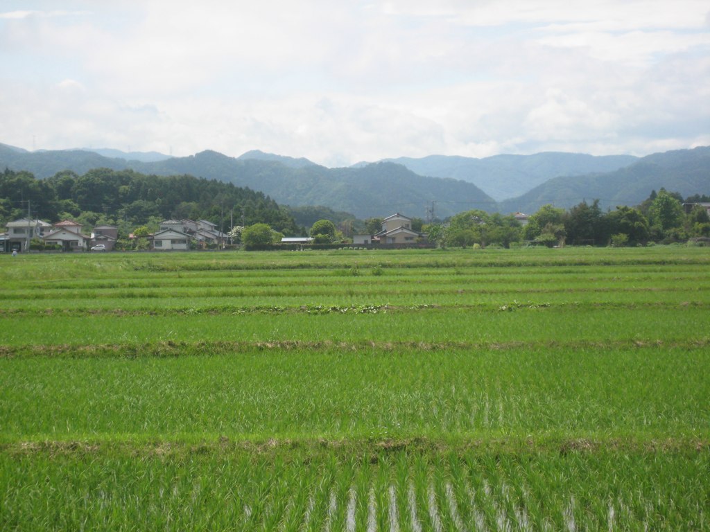
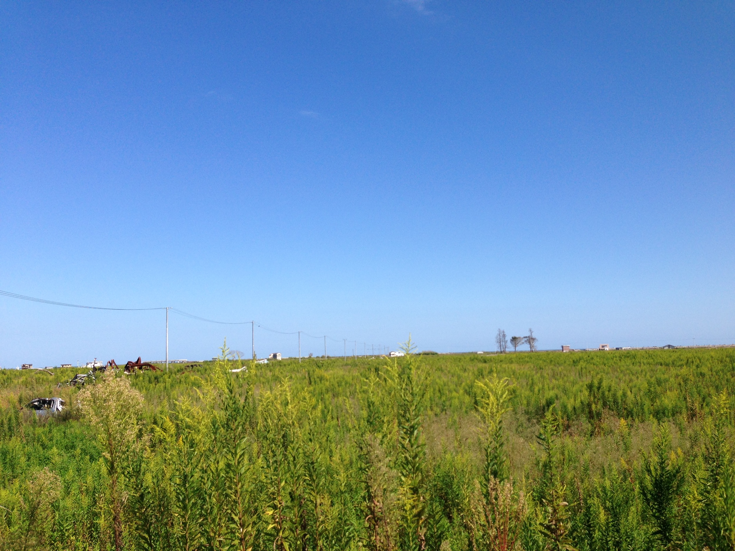
Ricefields & Mountains
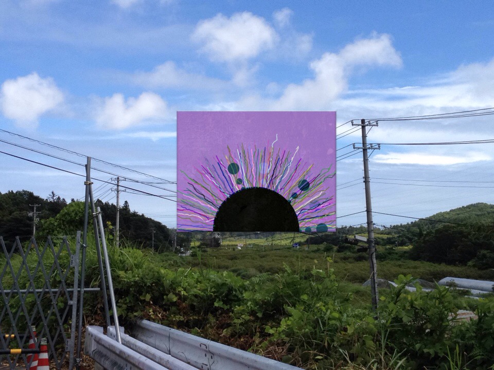
View of "dadaHat" - Monday, 1 August 2016 - 12:04 GMT+0900
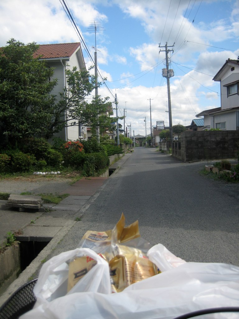
Rider's-Eye-View of my street

one's old home
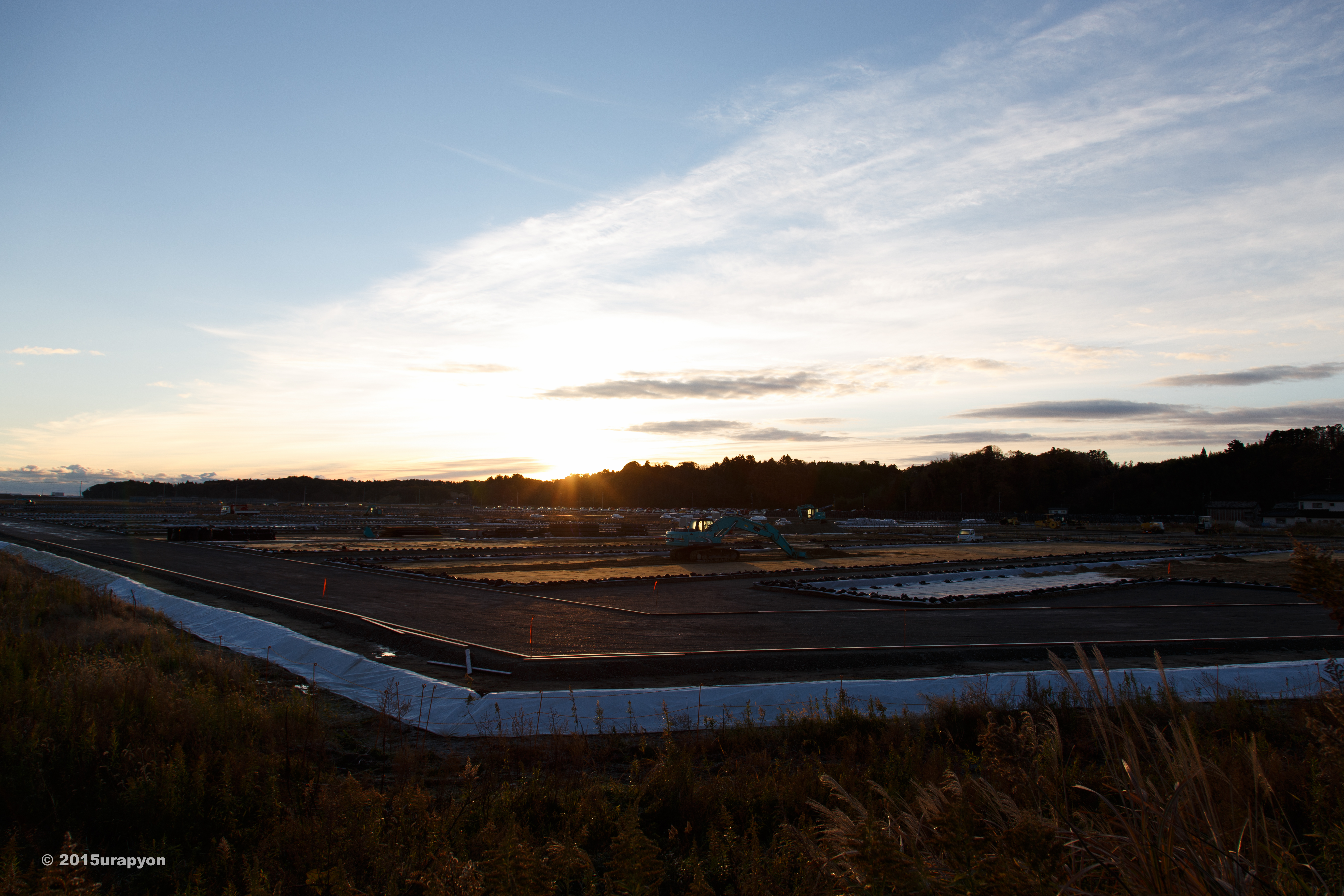
南相馬市の除染廃棄物仮置き場

Tomioka Station Now 富岡駅の今
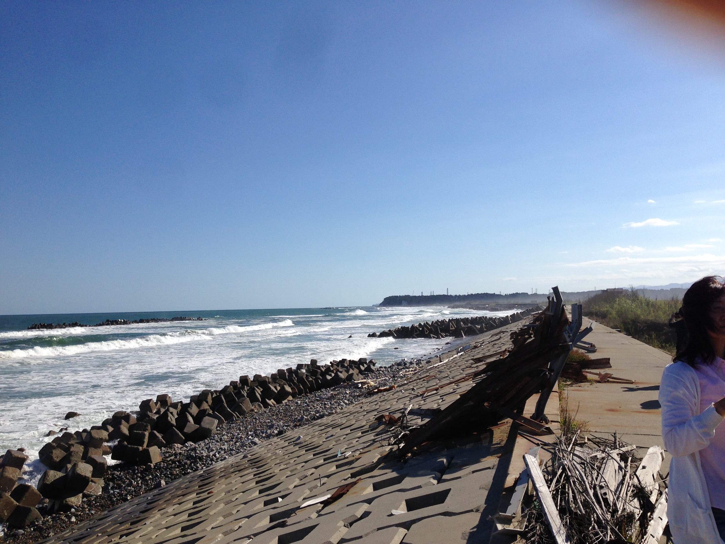
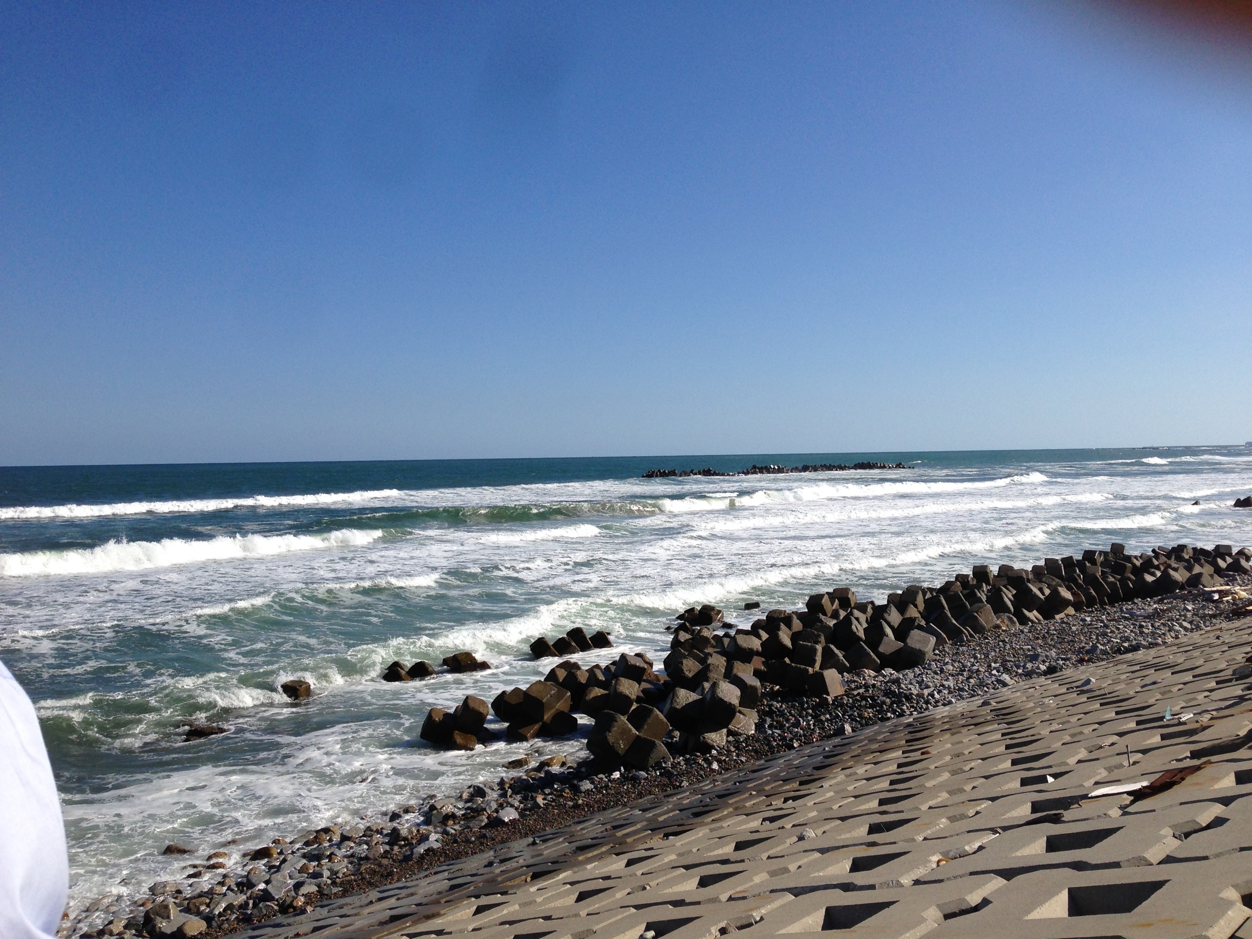
とりあえず常磐道終点で海を見る
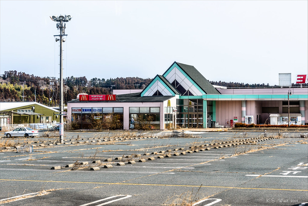
Radioactive McDonalds, Tomioka, Japan, 2014
Itate, Minamisoma & Namie-32
Itate, Minamisoma & Namie-33
Itate, Minamisoma & Namie-29
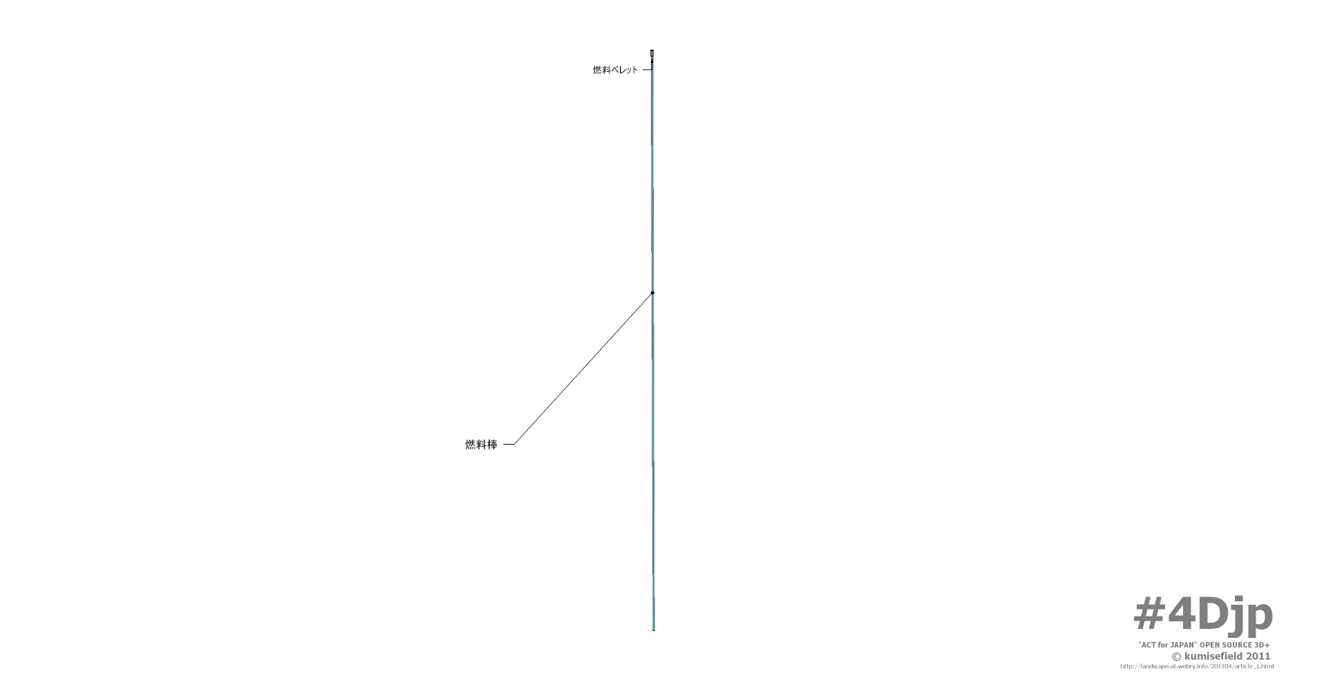
4Djp_1106-002-p01
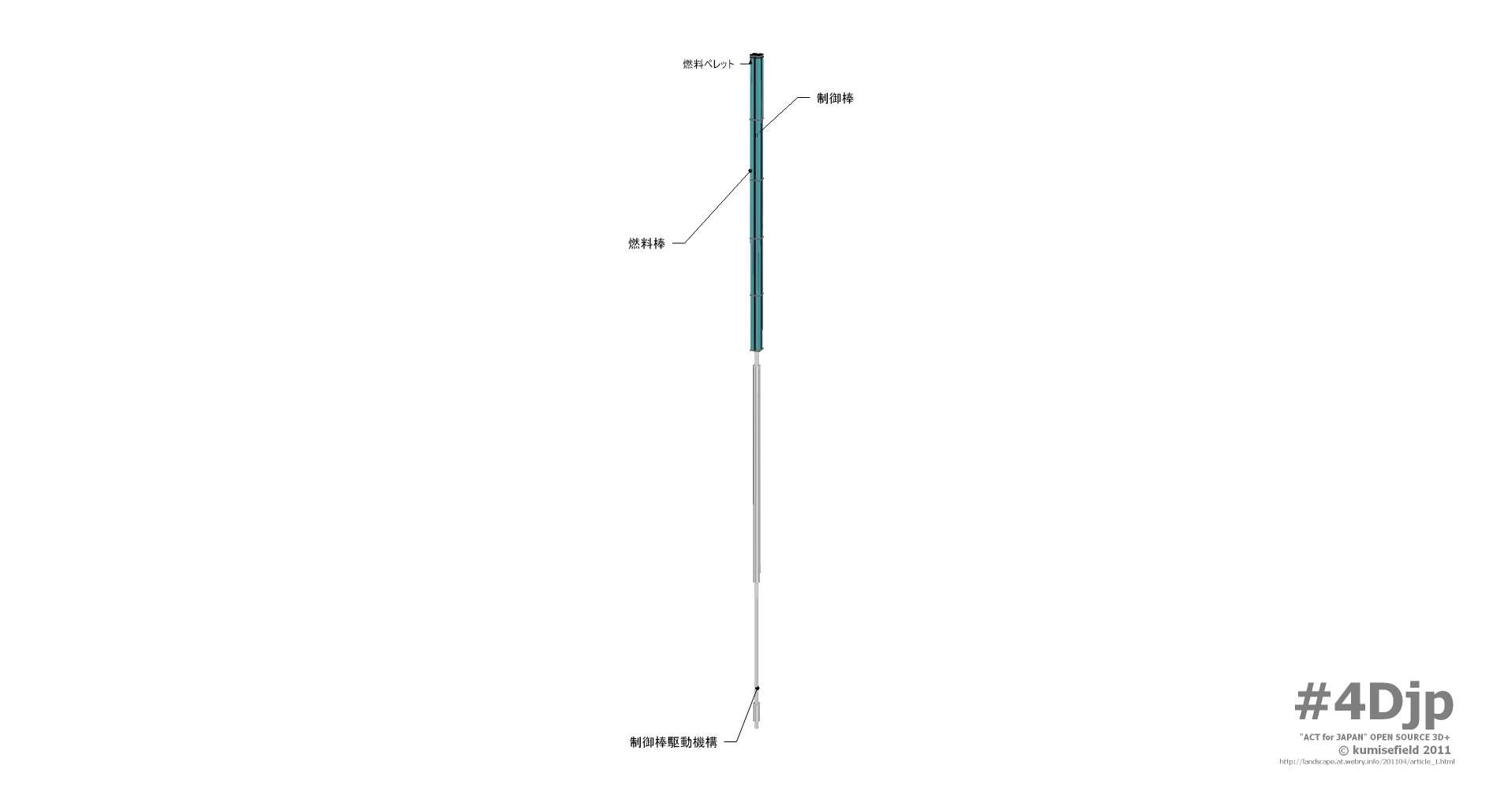
4Djp_1106-002-p03
Collecting sediment samples in the vicinity of Fukushima Daiichi Nuclear Power plant
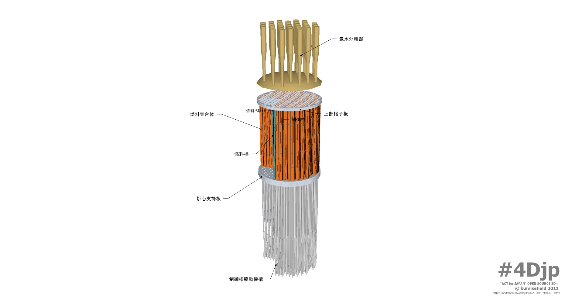
4Djp_1106-002-p07
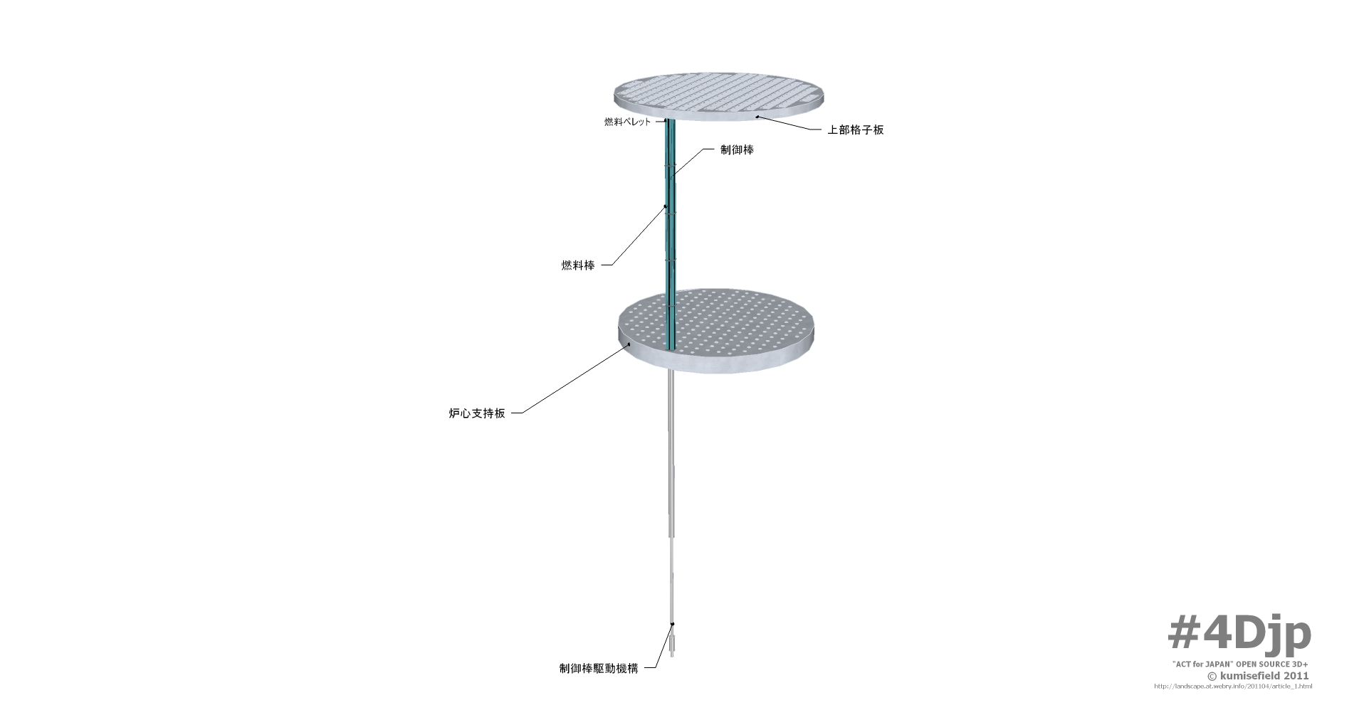
4Djp_1106-002-p04
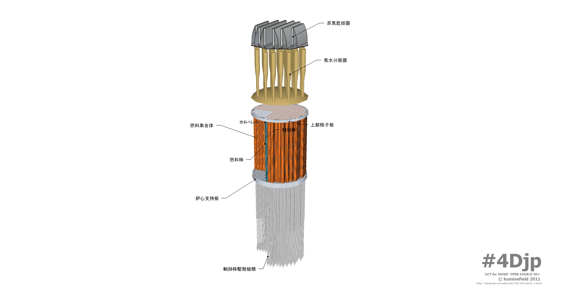
4Djp_1106-002-p08
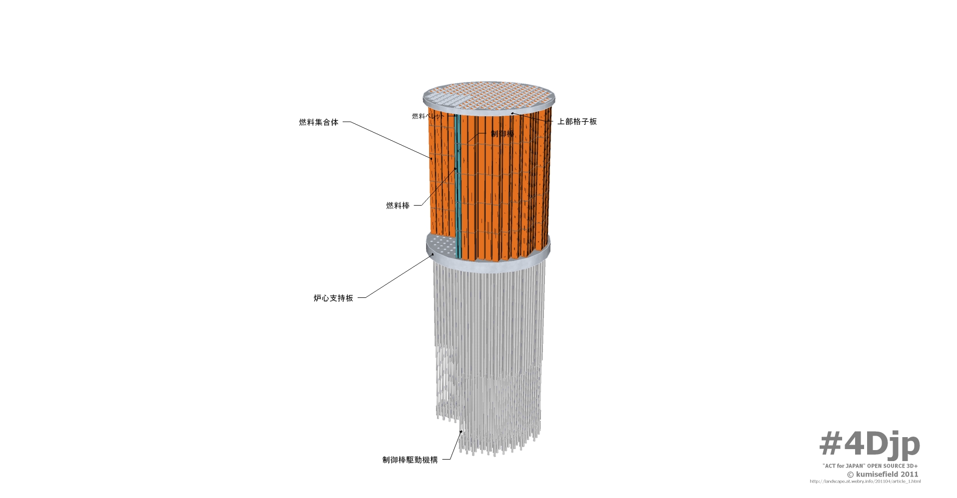
4Djp_1106-002-p05
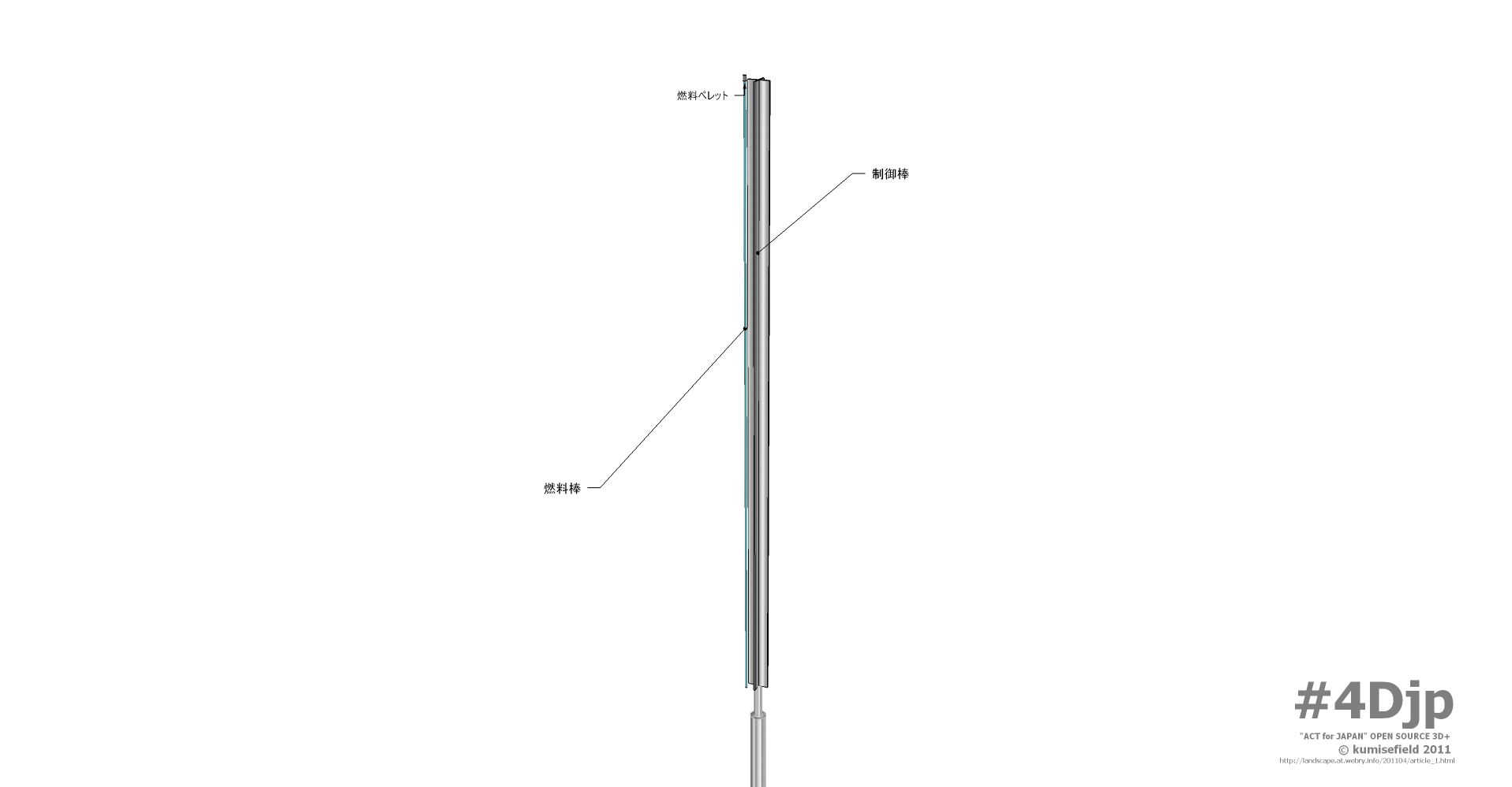
4Djp_1106-002-p02
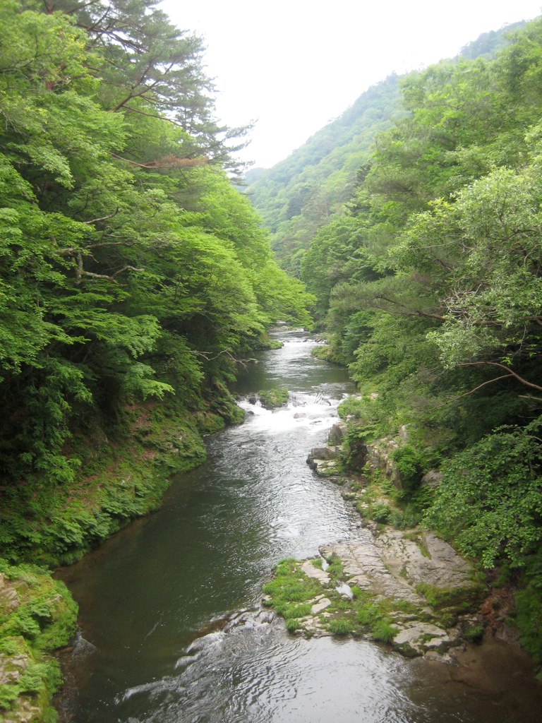
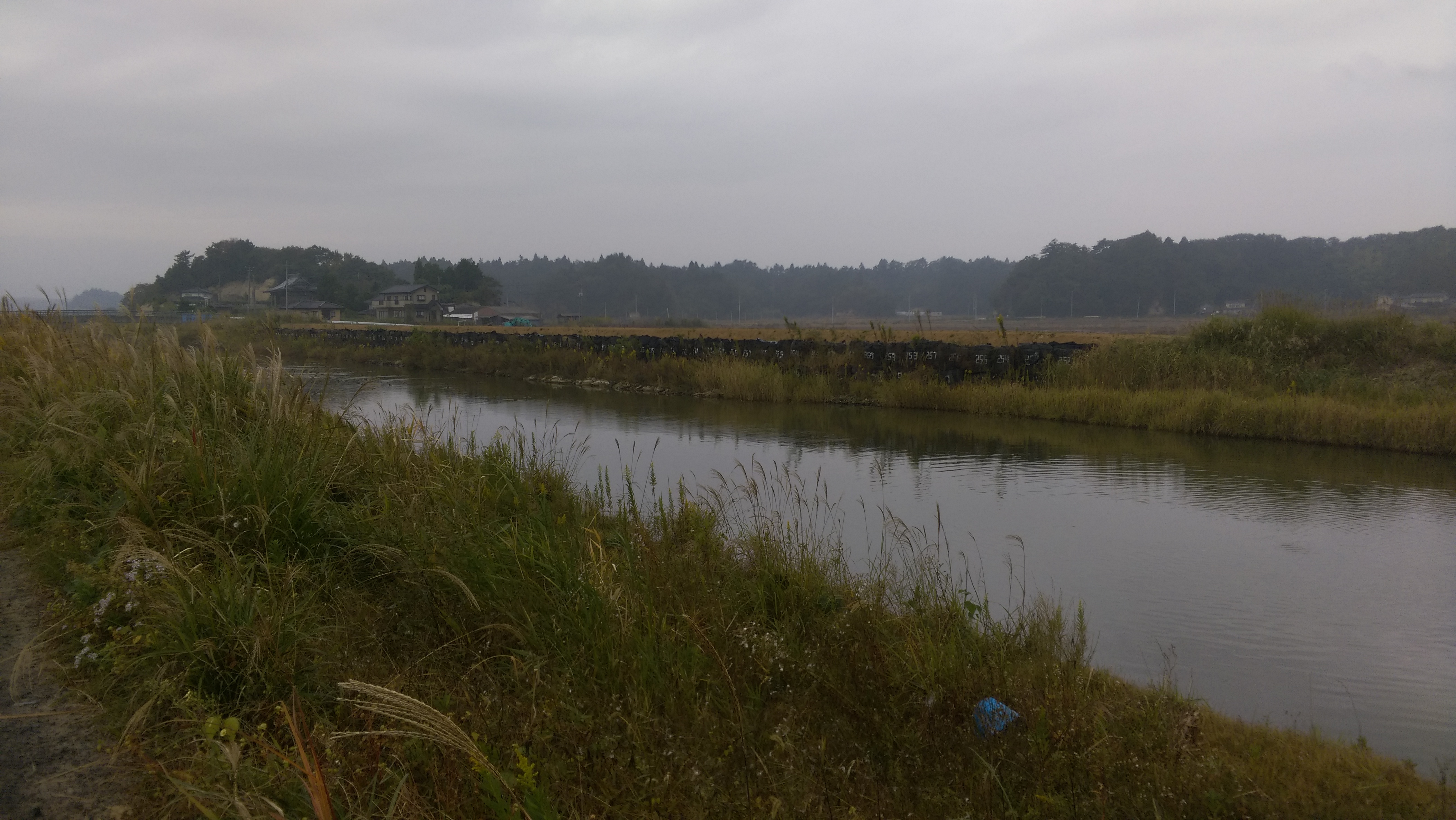
Takase River 2
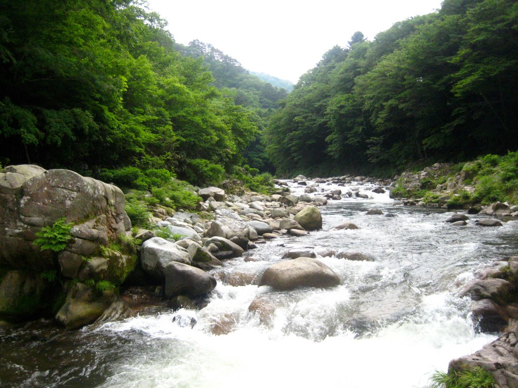
Takase River
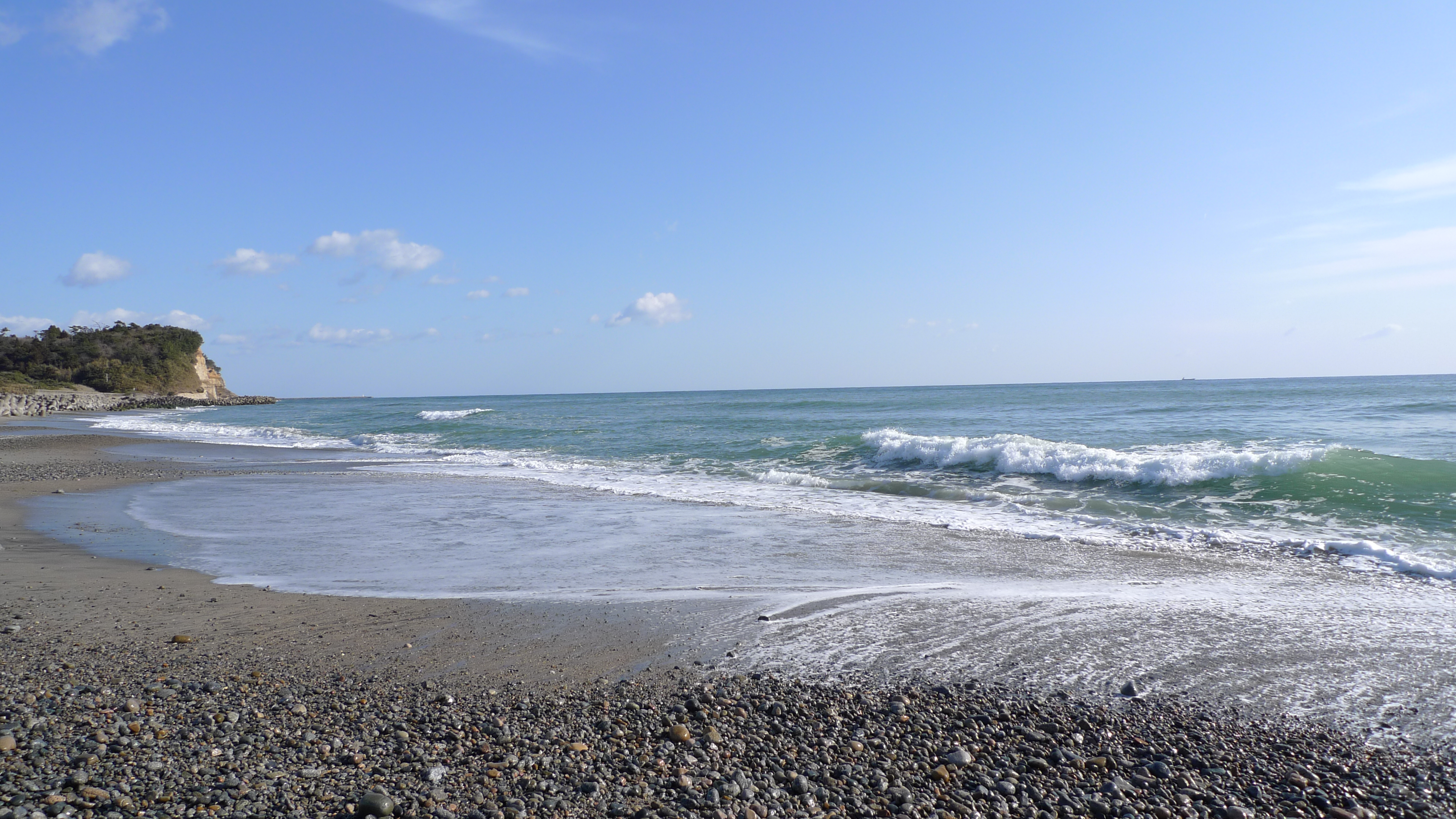
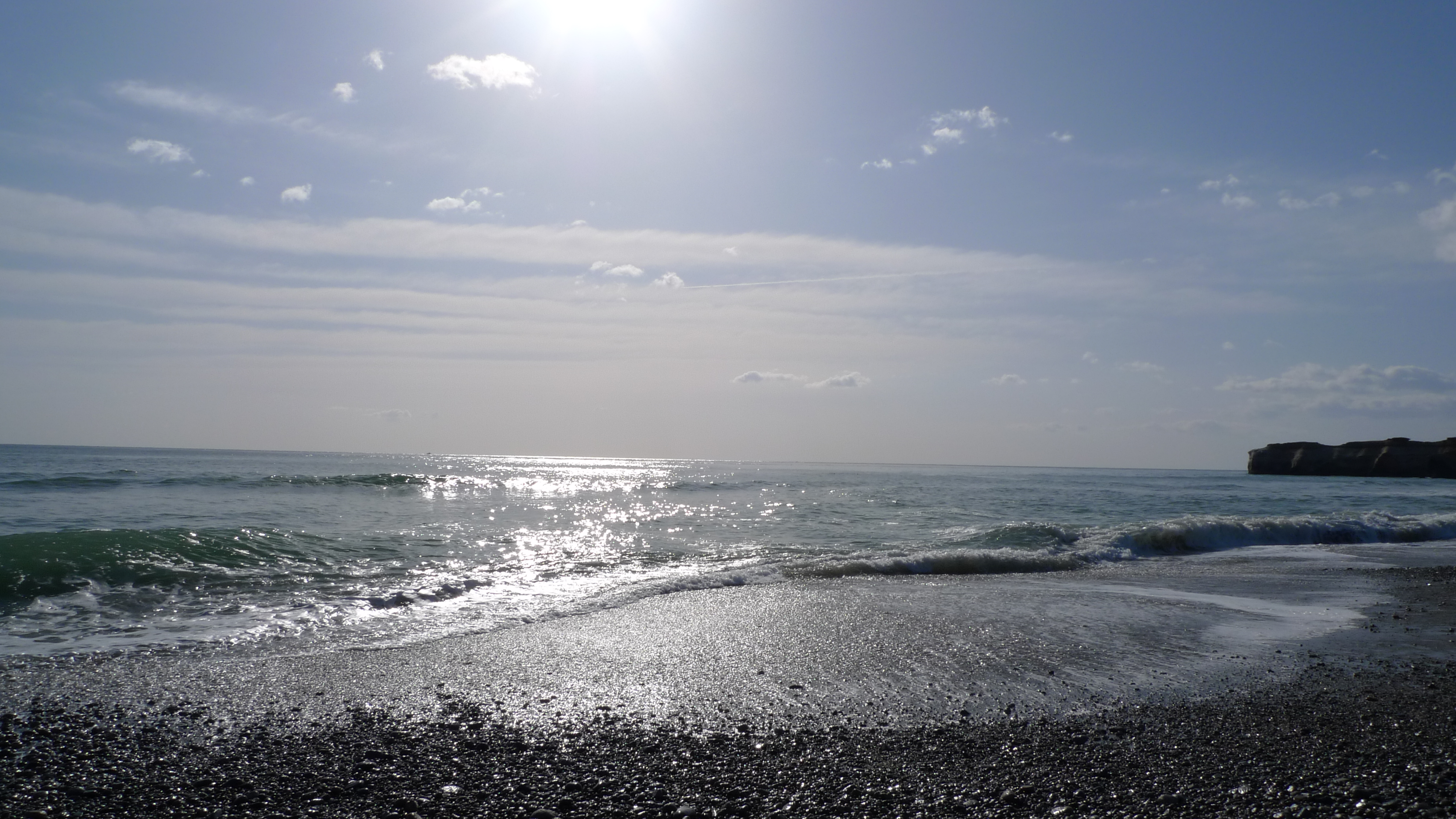
とりあえず常磐道終点で海を見る
Topographic Map of Dōmae-4 Yatsuda, Namie-machi, Futaba-gun, Fukushima-ken -, Japan
Find elevation by address:

Places near Dōmae-4 Yatsuda, Namie-machi, Futaba-gun, Fukushima-ken -, Japan:
Sakashita-66 Onoda, Namie-machi, Futaba-gun, Fukushima-ken -, Japan
Karasawa- Terasawa, Futaba-machi, Futaba-gun, Fukushima-ken -, Japan
Nakauenohara- Kawazoe, Namie-machi, Futaba-gun, Fukushima-ken -, Japan
Enokiuchi- Kamihatori, Futaba-machi, Futaba-gun, Fukushima-ken -, Japan
Shitae-83 Shibukawa, Futaba-machi, Futaba-gun, Fukushima-ken -, Japan
Shibata--56 Kakura, Namie-machi, Futaba-gun, Fukushima-ken -, Japan
Sawairi- Kamihatori, Futaba-machi, Futaba-gun, Fukushima-ken -, Japan
Ushirohata- Ōbori, Namie-machi, Futaba-gun, Fukushima-ken -, Japan
Namie
Hara- Sakata, Namie-machi, Futaba-gun, Fukushima-ken -, Japan
Nishidai-15 Kōnokusa, Futaba-machi, Futaba-gun, Fukushima-ken -, Japan
Sakashita--4 Nishidai, Namie-machi, Futaba-gun, Fukushima-ken -, Japan
Akashiba-6 Mizusawa, Futaba-machi, Futaba-gun, Fukushima-ken -, Japan
Koeda-77 Nagatsuka, Futaba-machi, Futaba-gun, Fukushima-ken -, Japan
Futaba District
Futaba
Inarizaku- Morotake, Futaba-machi, Futaba-gun, Fukushima-ken -, Japan
Kitahara-7 Kitakiyohashi, Namie-machi, Futaba-gun, Fukushima-ken -, Japan
Chūōdai- Ottozawa, Ōkuma-machi, Futaba-gun, Fukushima-ken -, Japan
Chōjahara--6 Ottozawa, Ōkuma-machi, Futaba-gun, Fukushima-ken -, Japan
Recent Searches:
- Elevation of Congressional Dr, Stevensville, MD, USA
- Elevation of Bellview Rd, McLean, VA, USA
- Elevation of Stage Island Rd, Chatham, MA, USA
- Elevation of Shibuya Scramble Crossing, 21 Udagawacho, Shibuya City, Tokyo -, Japan
- Elevation of Jadagoniai, Kaunas District Municipality, Lithuania
- Elevation of Pagonija rock, Kranto 7-oji g. 8"N, Kaunas, Lithuania
- Elevation of Co Rd 87, Jamestown, CO, USA
- Elevation of Tenjo, Cundinamarca, Colombia
- Elevation of Côte-des-Neiges, Montreal, QC H4A 3J6, Canada
- Elevation of Bobcat Dr, Helena, MT, USA