Elevation of Kitahara-7 Kitakiyohashi, Namie-machi, Futaba-gun, Fukushima-ken -, Japan
Location: Japan > Fukushima Prefecture > Futaba District > Namie >
Longitude: 141.016366
Latitude: 37.4998966
Elevation: 24m / 79feet
Barometric Pressure: 101KPa
Elevation Map:
Satellite Map:
Related Photos:
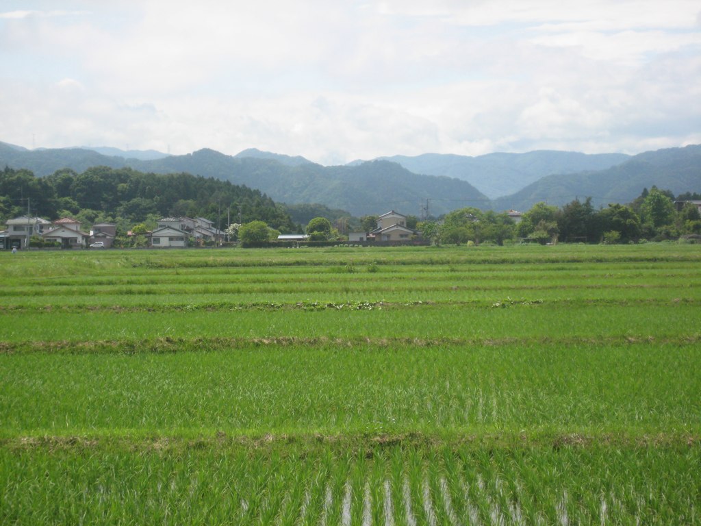
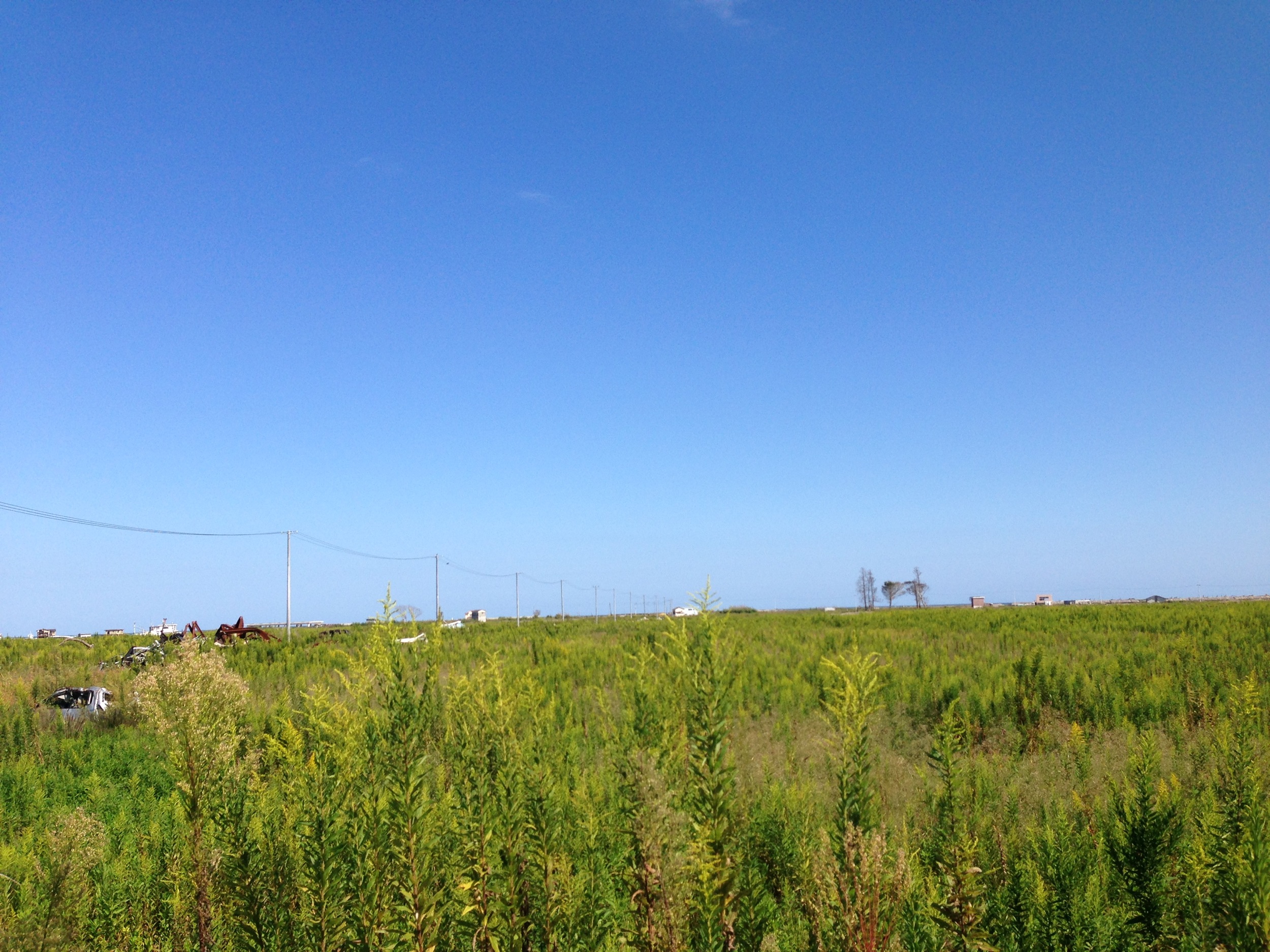
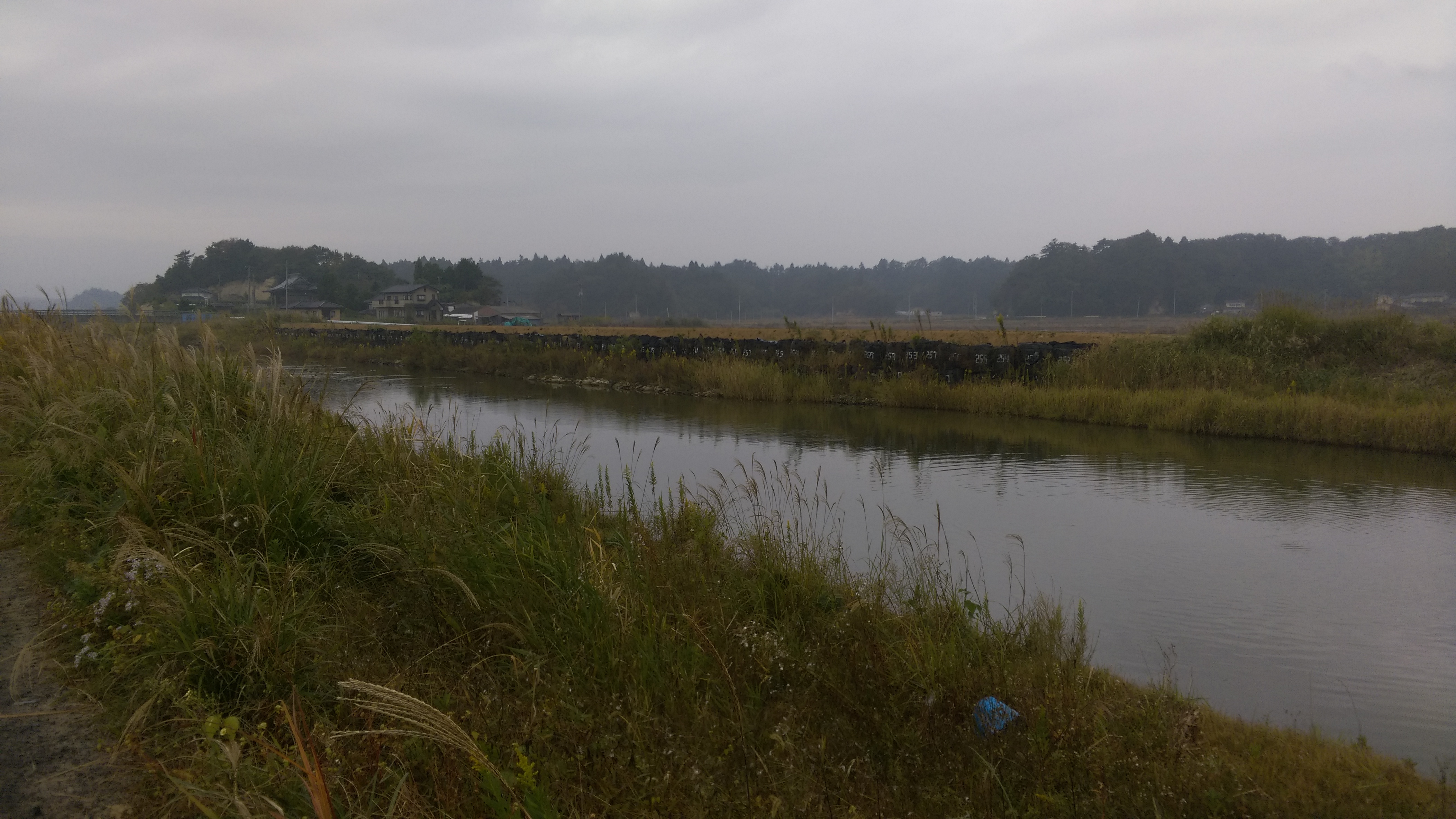
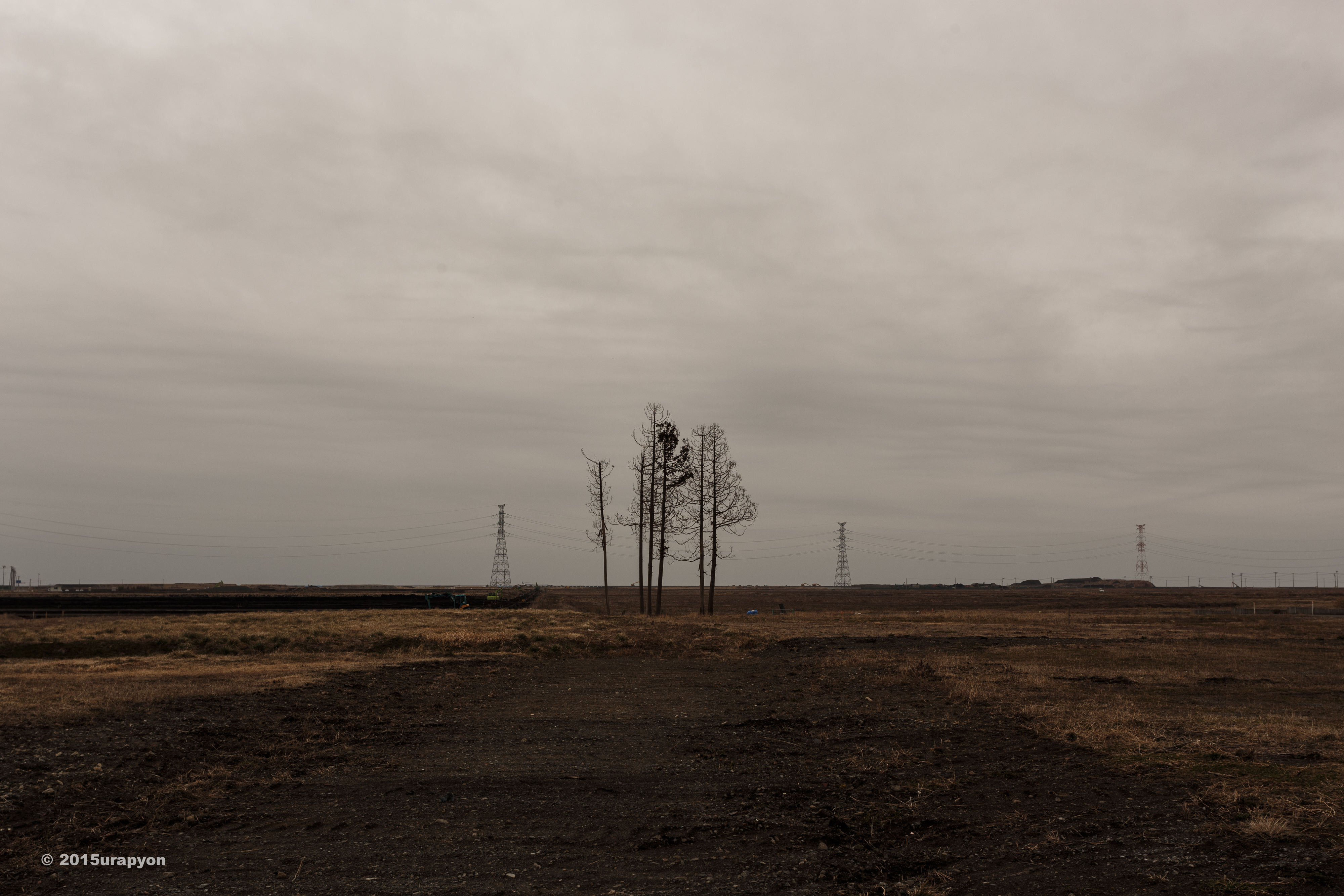
Ricefields & Mountains
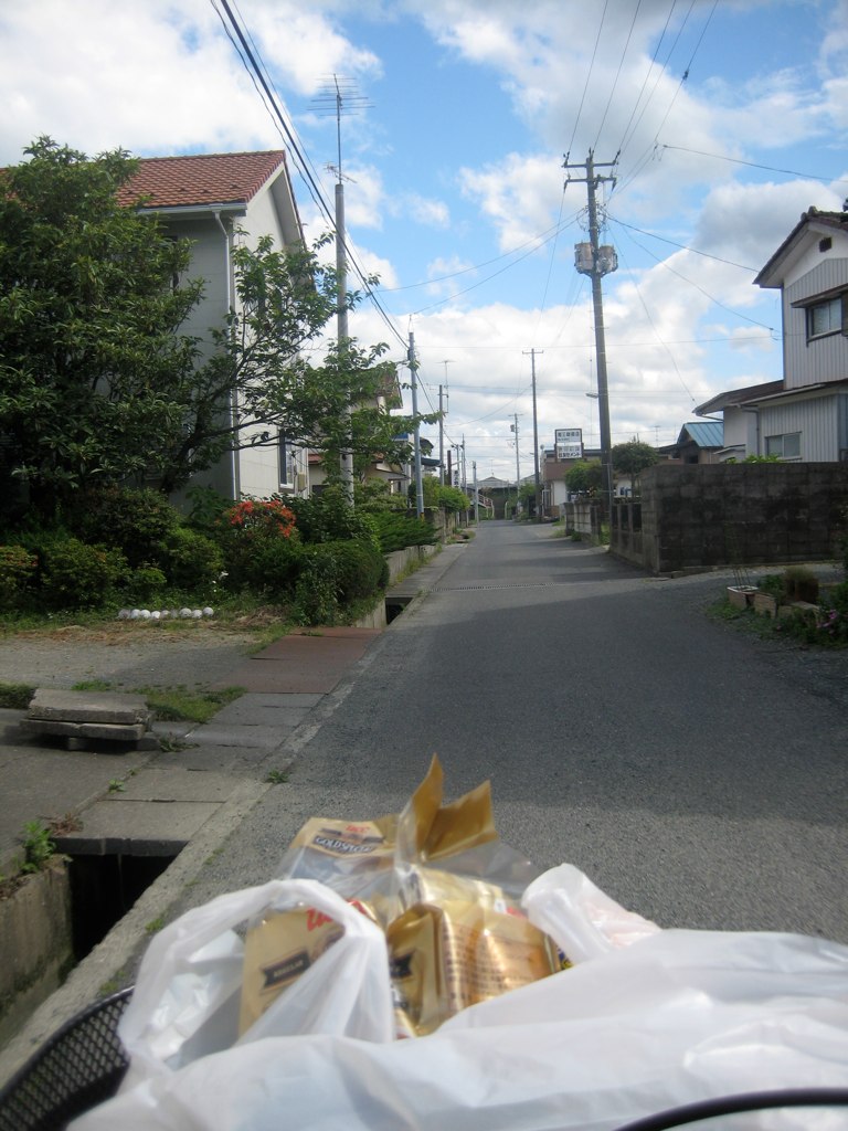
Rider's-Eye-View of my street
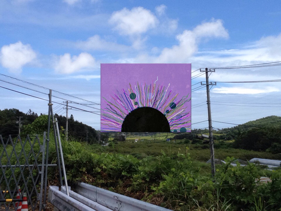
View of "dadaHat" - Monday, 1 August 2016 - 12:04 GMT+0900

one's old home
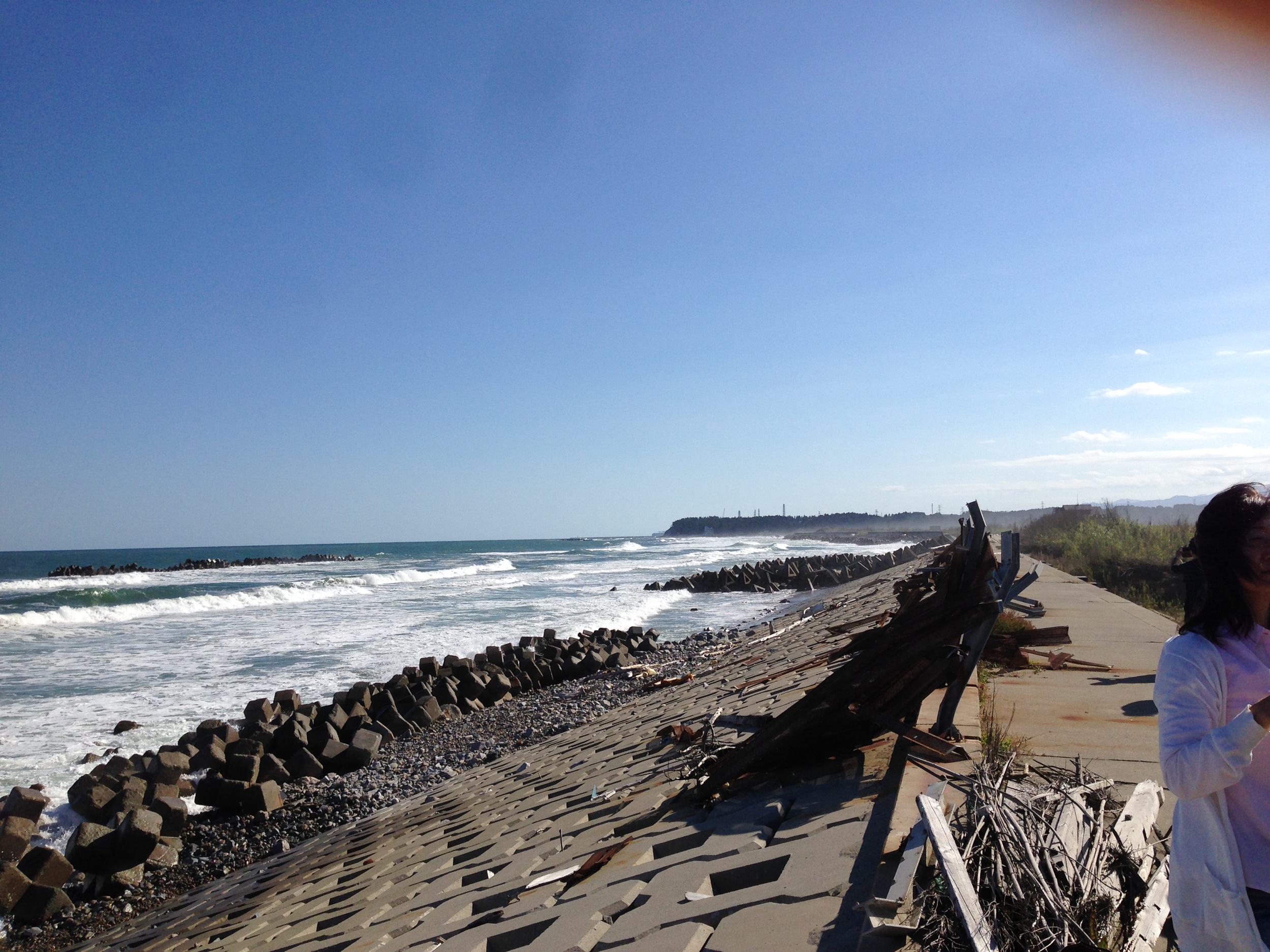
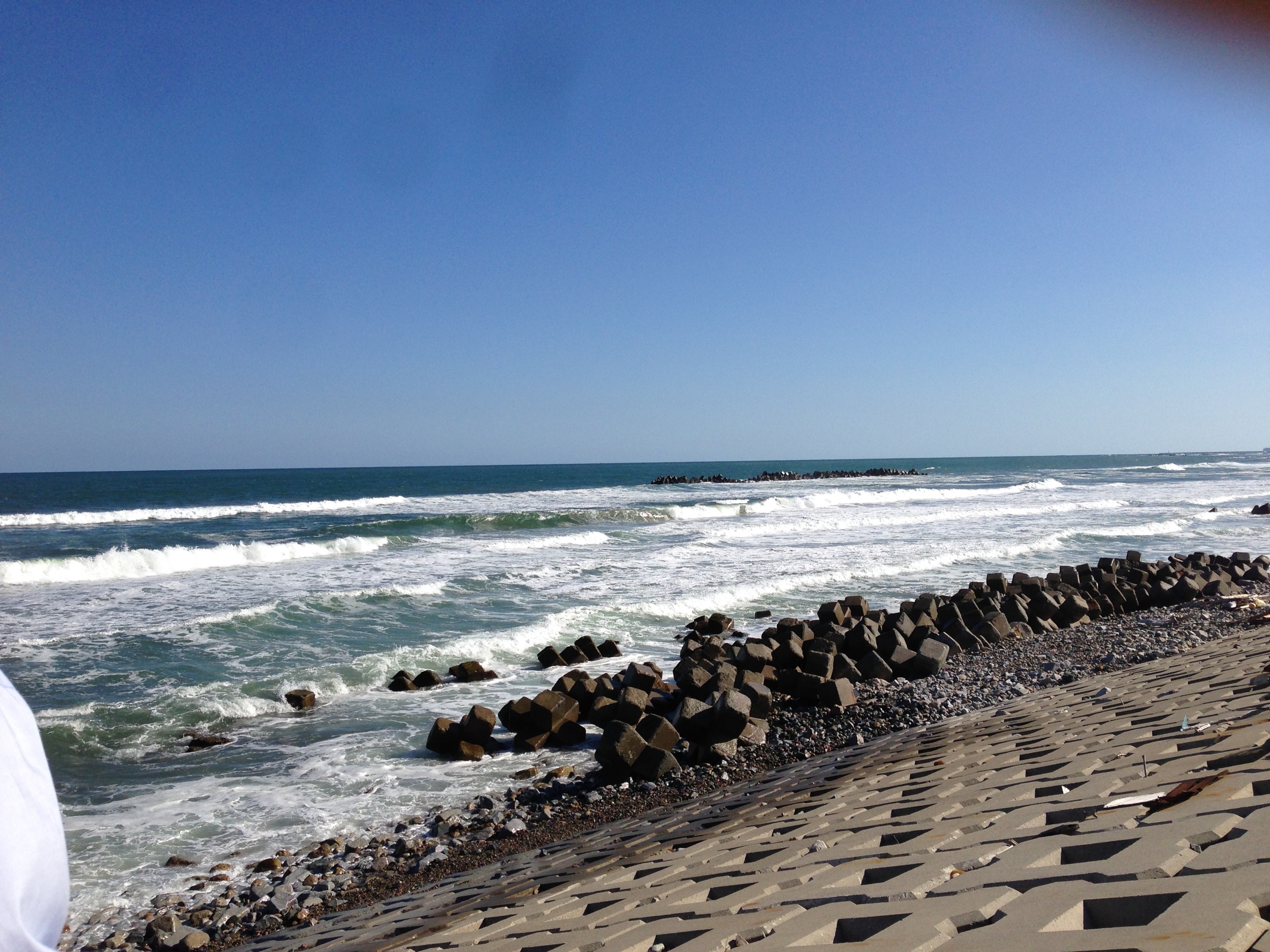
とりあえず常磐道終点で海を見る
Itate, Minamisoma & Namie-32
Itate, Minamisoma & Namie-33
Itate, Minamisoma & Namie-29
CIMG1262.JPG
4Djp_1106-002-p01
4Djp_1106-002-p03
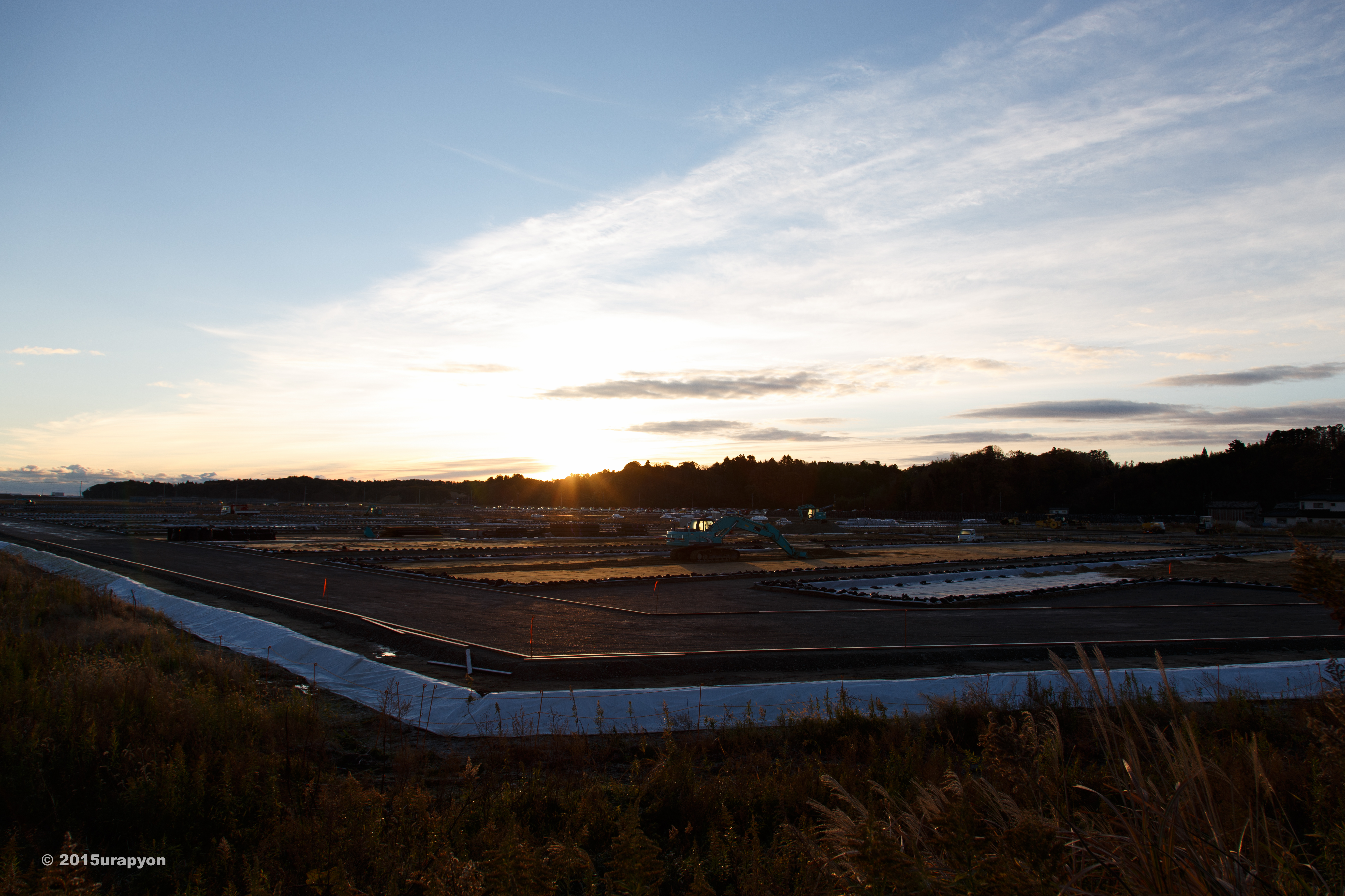
Collecting sediment samples in the vicinity of Fukushima Daiichi Nuclear Power plant
4Djp_1106-002-p07
Minami Souma 南相馬市
南相馬市の除染廃棄物仮置き場
4Djp_1106-002-p04
4Djp_1106-002-p08
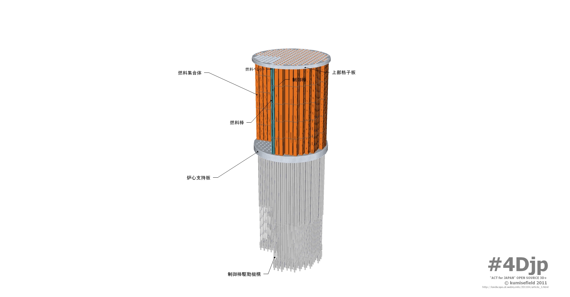
4Djp_1106-002-p05
Topographic Map of Kitahara-7 Kitakiyohashi, Namie-machi, Futaba-gun, Fukushima-ken -, Japan
Find elevation by address:

Places near Kitahara-7 Kitakiyohashi, Namie-machi, Futaba-gun, Fukushima-ken -, Japan:
Namie
Amadare-73 Ukedo, Namie-machi, Futaba-gun, Fukushima-ken -, Japan
Sakashita--4 Nishidai, Namie-machi, Futaba-gun, Fukushima-ken -, Japan
Nishidai-15 Kōnokusa, Futaba-machi, Futaba-gun, Fukushima-ken -, Japan
Inarizaku- Morotake, Futaba-machi, Futaba-gun, Fukushima-ken -, Japan
Hara- Sakata, Namie-machi, Futaba-gun, Fukushima-ken -, Japan
Buiri-54 Odakaku Ebisawa, Minamisōma-shi, Fukushima-ken -, Japan
Minamikawara-14 Nakahama, Futaba-machi, Futaba-gun, Fukushima-ken -, Japan
Shitae-83 Shibukawa, Futaba-machi, Futaba-gun, Fukushima-ken -, Japan
Nakauenohara- Kawazoe, Namie-machi, Futaba-gun, Fukushima-ken -, Japan
Koeda-77 Nagatsuka, Futaba-machi, Futaba-gun, Fukushima-ken -, Japan
Futaba
Futaba District
Dōmae-4 Yatsuda, Namie-machi, Futaba-gun, Fukushima-ken -, Japan
Dōnoue- Kōriyama, Futaba-machi, Futaba-gun, Fukushima-ken -, Japan
Shibata--56 Kakura, Namie-machi, Futaba-gun, Fukushima-ken -, Japan
Nishiyachi-57 Odakaku Murakami, Minamisōma-shi, Fukushima-ken -, Japan
Enokiuchi- Kamihatori, Futaba-machi, Futaba-gun, Fukushima-ken -, Japan
Sakashita-66 Onoda, Namie-machi, Futaba-gun, Fukushima-ken -, Japan
Karasawa- Terasawa, Futaba-machi, Futaba-gun, Fukushima-ken -, Japan
Recent Searches:
- Elevation of Côte-des-Neiges, Montreal, QC H4A 3J6, Canada
- Elevation of Bobcat Dr, Helena, MT, USA
- Elevation of Zu den Ihlowbergen, Althüttendorf, Germany
- Elevation of Badaber, Peshawar, Khyber Pakhtunkhwa, Pakistan
- Elevation of SE Heron Loop, Lincoln City, OR, USA
- Elevation of Slanický ostrov, 01 Námestovo, Slovakia
- Elevation of Spaceport America, Co Rd A, Truth or Consequences, NM, USA
- Elevation of Warwick, RI, USA
- Elevation of Fern Rd, Whitmore, CA, USA
- Elevation of 62 Abbey St, Marshfield, MA, USA