Elevation of Shimamaki, Shimamaki District, Hokkaido Prefecture, Japan
Location: Japan > Hokkaido Prefecture > Shimamaki District >
Longitude: 140.061460
Latitude: 42.7005204
Elevation: 10m / 33feet
Barometric Pressure: 101KPa
Elevation Map:
Satellite Map:
Related Photos:
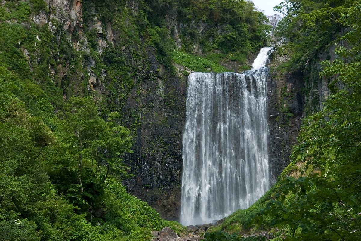
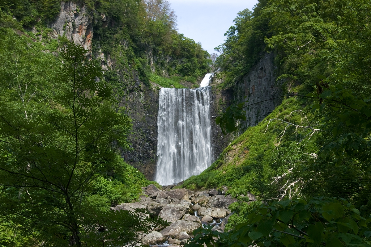

木巻岬灯台
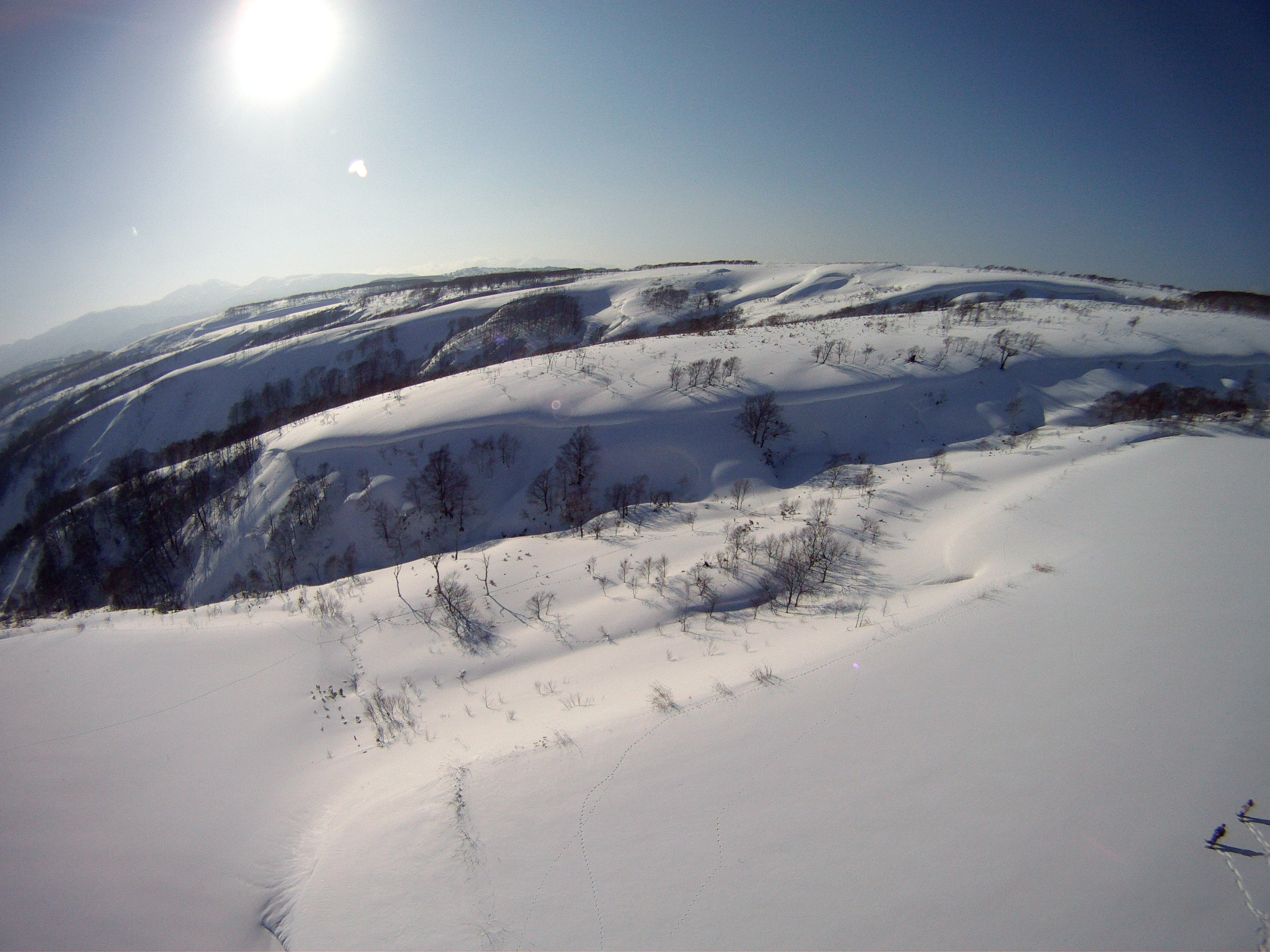
月越峠 - Tsukkoshi Ridge 1
Topographic Map of Shimamaki, Shimamaki District, Hokkaido Prefecture, Japan
Find elevation by address:

Places in Shimamaki, Shimamaki District, Hokkaido Prefecture, Japan:
Places near Shimamaki, Shimamaki District, Hokkaido Prefecture, Japan:
Tomari, Shimamaki-mura, Shimamaki-gun, Hokkaidō -, Japan
Shimamaki District
Suttsu
Tarukishi-20 Tarukishichō, Suttsu-chō, Suttsu-gun, Hokkaidō -, Japan
34 Minamisakkai, Kuromatsunai-chō, Suttsu-gun, Hokkaidō -, Japan
Kuromatsunai
Suttsu District
Warabitai, Oshamanbe-chō, Yamakoshi-gun, Hokkaidō -, Japan
Imakane
Setana District
65 Hanaishi, Imakane-chō, Setana-gun, Hokkaidō -, Japan
Tanekawa, Imakane-chō, Setana-gun, Hokkaidō -, Japan
41 Futaba, Oshamanbe-chō, Yamakoshi-gun, Hokkaidō -, Japan
32-10 Kitahiyamaku Niwa, Setana-chō, Kudō-gun, Hokkaidō -, Japan
Neppu, Kuromatsunai-chō, Suttsu-gun, Hokkaidō -, Japan
Yamakoshi District
68 Kinbara, Imakane-chō, Setana-gun, Hokkaidō -, Japan
Shiritoshibetsu River
Setana
Kitahiyamaku Sakae, Setana-chō, Kudō-gun, Hokkaidō -, Japan
Recent Searches:
- Elevation of Shibuya Scramble Crossing, 21 Udagawacho, Shibuya City, Tokyo -, Japan
- Elevation of Jadagoniai, Kaunas District Municipality, Lithuania
- Elevation of Pagonija rock, Kranto 7-oji g. 8"N, Kaunas, Lithuania
- Elevation of Co Rd 87, Jamestown, CO, USA
- Elevation of Tenjo, Cundinamarca, Colombia
- Elevation of Côte-des-Neiges, Montreal, QC H4A 3J6, Canada
- Elevation of Bobcat Dr, Helena, MT, USA
- Elevation of Zu den Ihlowbergen, Althüttendorf, Germany
- Elevation of Badaber, Peshawar, Khyber Pakhtunkhwa, Pakistan
- Elevation of SE Heron Loop, Lincoln City, OR, USA