Elevation of Shiritoshibetsu River, Hokkaido, Japan
Location: Japan > Hokkaido Prefecture > Kudo District > Setana >
Longitude: 139.895862
Latitude: 42.4167321
Elevation: 5m / 16feet
Barometric Pressure: 101KPa
Elevation Map:
Satellite Map:
Related Photos:

三本杉
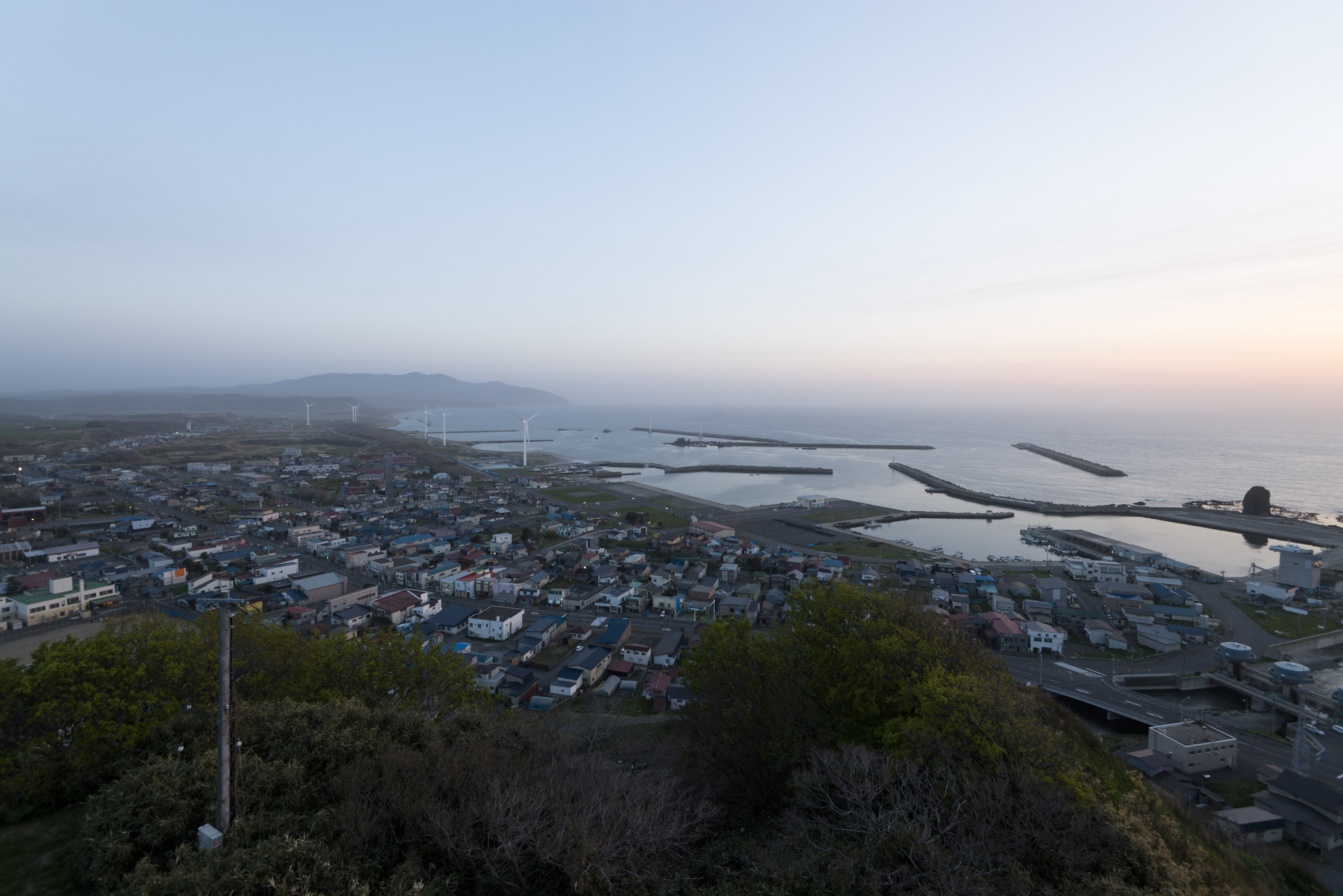
風車のある海の街
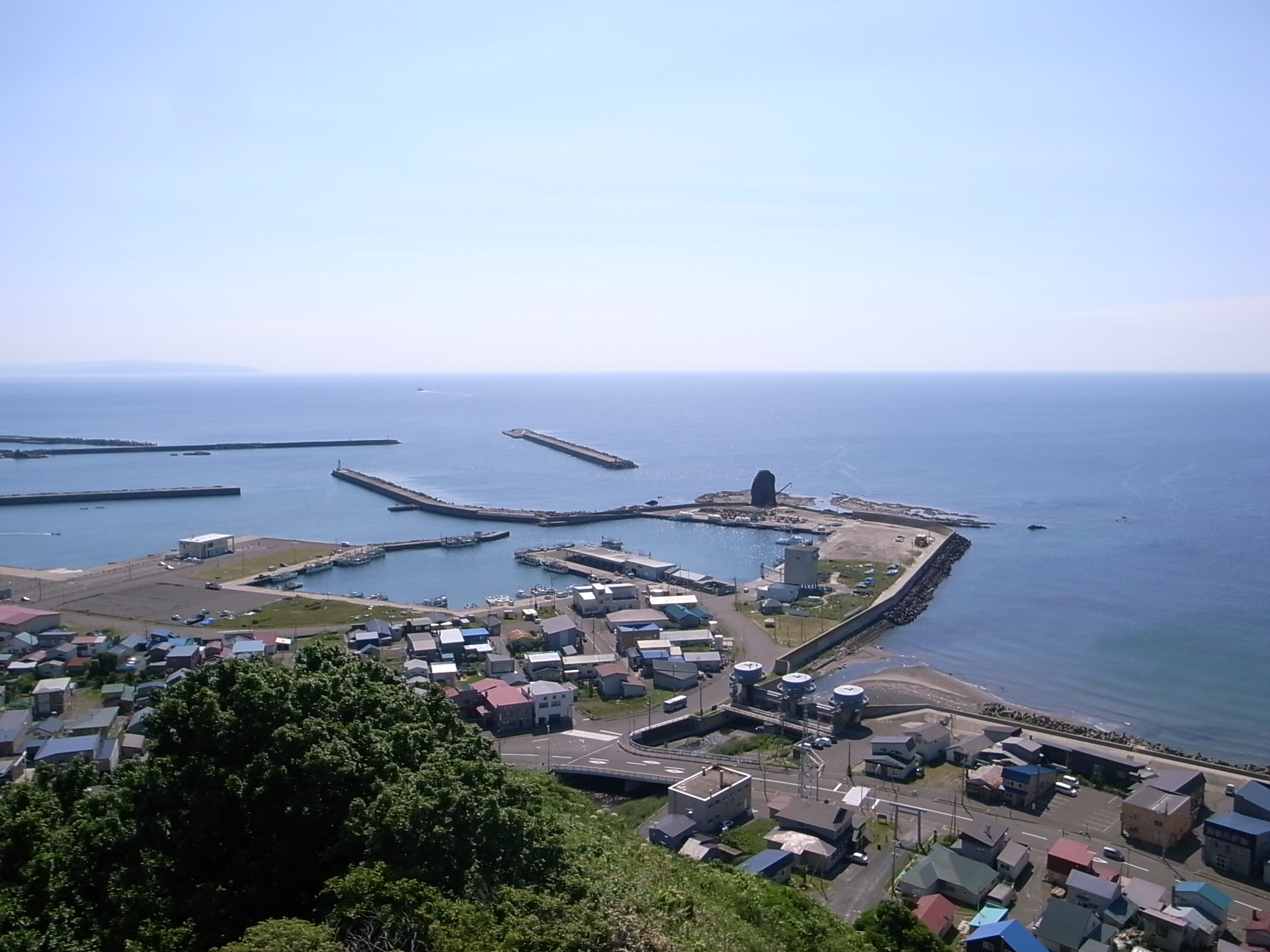
せたな町
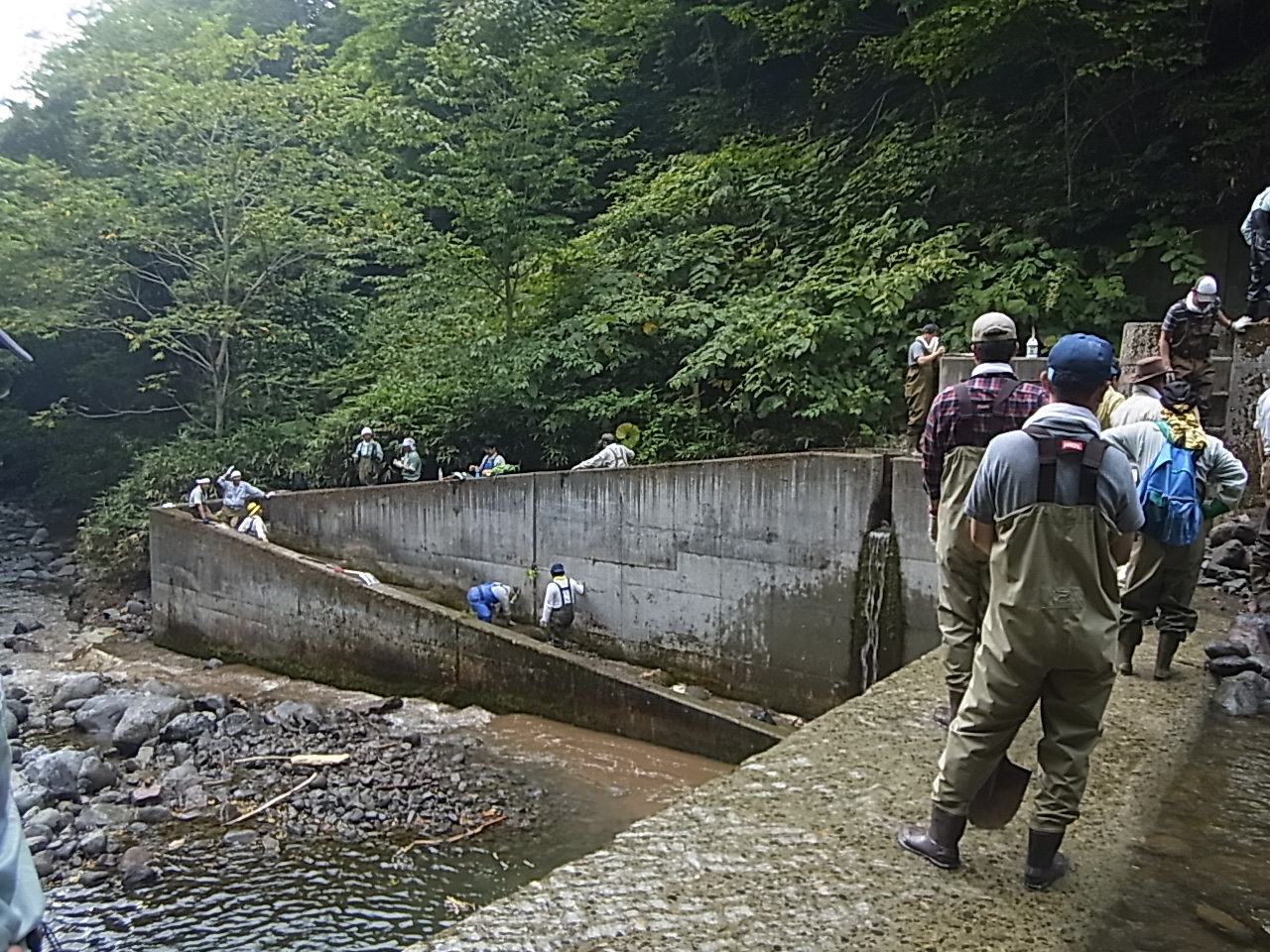
魚道清掃
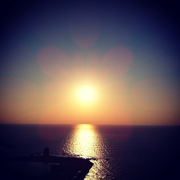
日本海に沈む夕陽
Topographic Map of Shiritoshibetsu River, Hokkaido, Japan
Find elevation by address:

Places near Shiritoshibetsu River, Hokkaido, Japan:
Setana
Kitahiyamaku Sakae, Setana-chō, Kudō-gun, Hokkaidō -, Japan
32-10 Kitahiyamaku Niwa, Setana-chō, Kudō-gun, Hokkaidō -, Japan
Kitahiyamaku Wakamatsu, Setana-chō, Kudō-gun, Hokkaidō -, Japan
68 Kinbara, Imakane-chō, Setana-gun, Hokkaidō -, Japan
Kitahiyamaku Futoro, Setana-chō, Kudō-gun, Hokkaidō -, Japan
Setana District
Imakane
Kitahiyamaku Shinsei, Setana-chō, Kudō-gun, Hokkaidō -, Japan
Nisshin, Imakane-chō, Setana-gun, Hokkaidō -, Japan
Tanekawa, Imakane-chō, Setana-gun, Hokkaidō -, Japan
93 Taiseiku Ōta, Setana-chō, Kudō-gun, Hokkaidō -, Japan
Kudo District
Taiseiku Kudō, Setana-chō, Kudō-gun, Hokkaidō -, Japan
46 Taiseiku Miyako, Setana-chō, Kudō-gun, Hokkaidō -, Japan
Shimamaki District
65 Hanaishi, Imakane-chō, Setana-gun, Hokkaidō -, Japan
Kamiyakumo, Yakumo-chō, Futami-gun, Hokkaidō -, Japan
Tomari, Shimamaki-mura, Shimamaki-gun, Hokkaidō -, Japan
Namarikawa, Yakumo-chō, Futami-gun, Hokkaidō -, Japan
Recent Searches:
- Elevation of Tenjo, Cundinamarca, Colombia
- Elevation of Côte-des-Neiges, Montreal, QC H4A 3J6, Canada
- Elevation of Bobcat Dr, Helena, MT, USA
- Elevation of Zu den Ihlowbergen, Althüttendorf, Germany
- Elevation of Badaber, Peshawar, Khyber Pakhtunkhwa, Pakistan
- Elevation of SE Heron Loop, Lincoln City, OR, USA
- Elevation of Slanický ostrov, 01 Námestovo, Slovakia
- Elevation of Spaceport America, Co Rd A, Truth or Consequences, NM, USA
- Elevation of Warwick, RI, USA
- Elevation of Fern Rd, Whitmore, CA, USA