Elevation of Imakane, Setana District, Hokkaido Prefecture, Japan
Location: Japan > Hokkaido Prefecture > Setana District >
Longitude: 140.008877
Latitude: 42.4294224
Elevation: 21m / 69feet
Barometric Pressure: 101KPa
Elevation Map:
Satellite Map:
Related Photos:
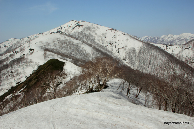
カスベ岳
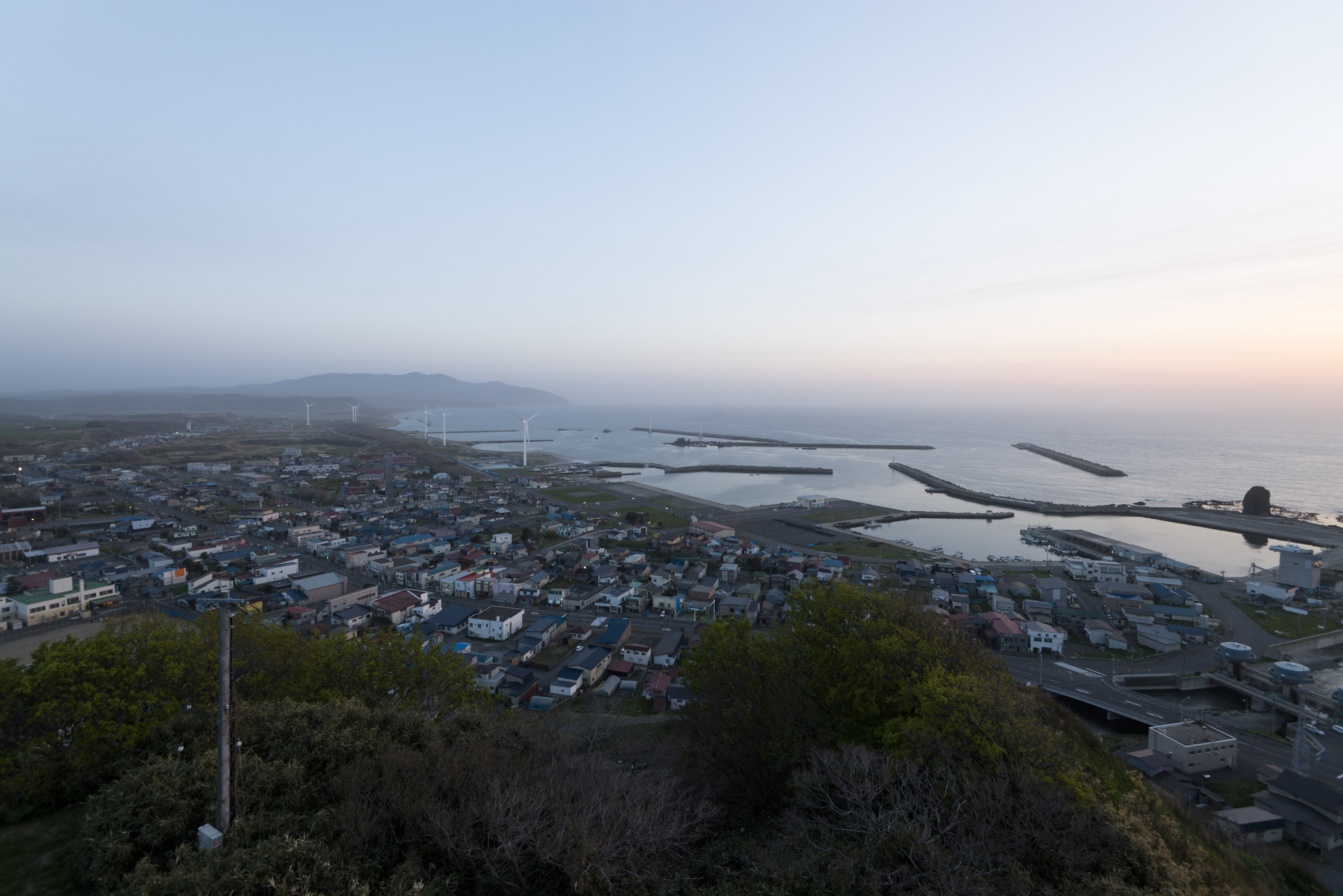
風車のある海の街
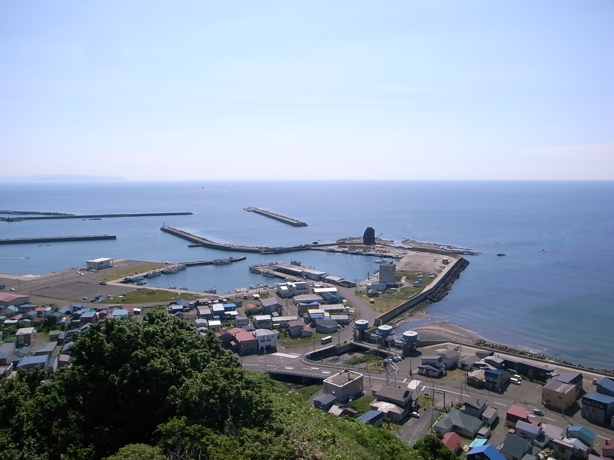
せたな町
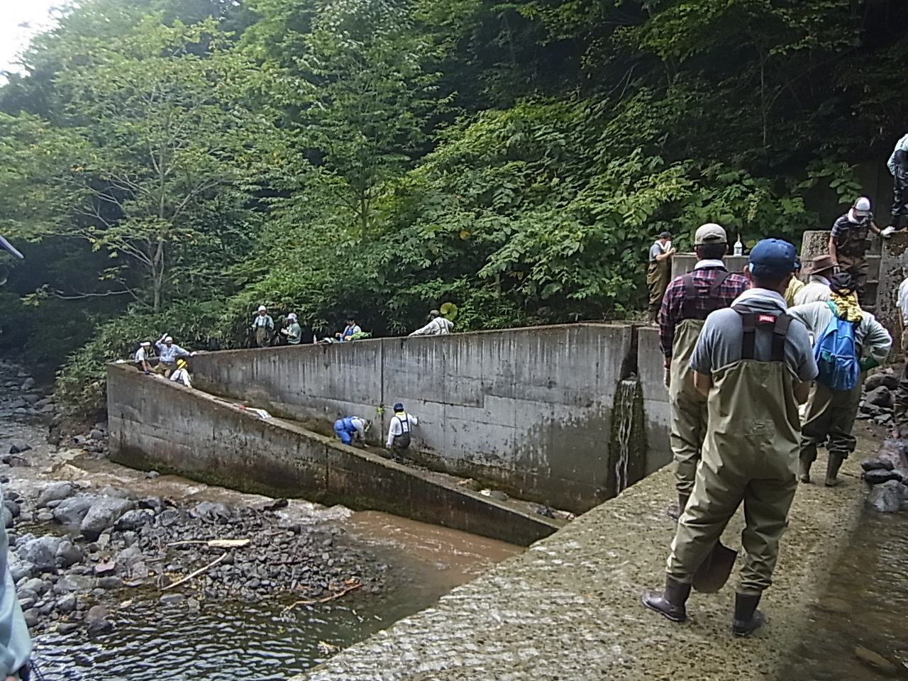
魚道清掃
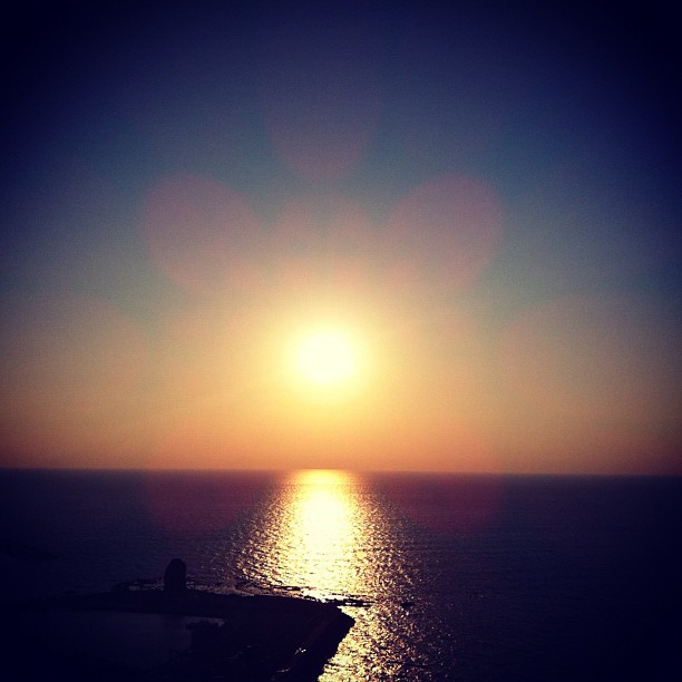
日本海に沈む夕陽
Topographic Map of Imakane, Setana District, Hokkaido Prefecture, Japan
Find elevation by address:

Places in Imakane, Setana District, Hokkaido Prefecture, Japan:
Tanekawa, Imakane-chō, Setana-gun, Hokkaidō -, Japan
65 Hanaishi, Imakane-chō, Setana-gun, Hokkaidō -, Japan
68 Kinbara, Imakane-chō, Setana-gun, Hokkaidō -, Japan
Nisshin, Imakane-chō, Setana-gun, Hokkaidō -, Japan
Places near Imakane, Setana District, Hokkaido Prefecture, Japan:
Setana District
68 Kinbara, Imakane-chō, Setana-gun, Hokkaidō -, Japan
Tanekawa, Imakane-chō, Setana-gun, Hokkaidō -, Japan
32-10 Kitahiyamaku Niwa, Setana-chō, Kudō-gun, Hokkaidō -, Japan
Nisshin, Imakane-chō, Setana-gun, Hokkaidō -, Japan
Shiritoshibetsu River
Kitahiyamaku Sakae, Setana-chō, Kudō-gun, Hokkaidō -, Japan
Setana
Kitahiyamaku Wakamatsu, Setana-chō, Kudō-gun, Hokkaidō -, Japan
65 Hanaishi, Imakane-chō, Setana-gun, Hokkaidō -, Japan
Kudo District
Kamiyakumo, Yakumo-chō, Futami-gun, Hokkaidō -, Japan
Kitahiyamaku Futoro, Setana-chō, Kudō-gun, Hokkaidō -, Japan
Shimamaki District
Kitahiyamaku Shinsei, Setana-chō, Kudō-gun, Hokkaidō -, Japan
Tomari, Shimamaki-mura, Shimamaki-gun, Hokkaidō -, Japan
Namarikawa, Yakumo-chō, Futami-gun, Hokkaidō -, Japan
93 Taiseiku Ōta, Setana-chō, Kudō-gun, Hokkaidō -, Japan
Taiseiku Kudō, Setana-chō, Kudō-gun, Hokkaidō -, Japan
Shimamaki
Recent Searches:
- Elevation of Shibuya Scramble Crossing, 21 Udagawacho, Shibuya City, Tokyo -, Japan
- Elevation of Jadagoniai, Kaunas District Municipality, Lithuania
- Elevation of Pagonija rock, Kranto 7-oji g. 8"N, Kaunas, Lithuania
- Elevation of Co Rd 87, Jamestown, CO, USA
- Elevation of Tenjo, Cundinamarca, Colombia
- Elevation of Côte-des-Neiges, Montreal, QC H4A 3J6, Canada
- Elevation of Bobcat Dr, Helena, MT, USA
- Elevation of Zu den Ihlowbergen, Althüttendorf, Germany
- Elevation of Badaber, Peshawar, Khyber Pakhtunkhwa, Pakistan
- Elevation of SE Heron Loop, Lincoln City, OR, USA