Elevation of 41 Futaba, Oshamanbe-chō, Yamakoshi-gun, Hokkaidō -, Japan
Location: Japan > Hokkaido Prefecture > Yamakoshi District >
Longitude: 140.325140
Latitude: 42.5662121
Elevation: 40m / 131feet
Barometric Pressure: 101KPa
Elevation Map:
Satellite Map:
Related Photos:

Resort Shirakami
Resort Shirakami
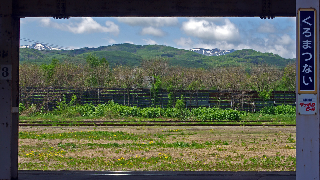
View from Kuromatsunai Station, Hokkaido 黒松内 北海道
IMG_3576.jpg
IMG_3581.jpg
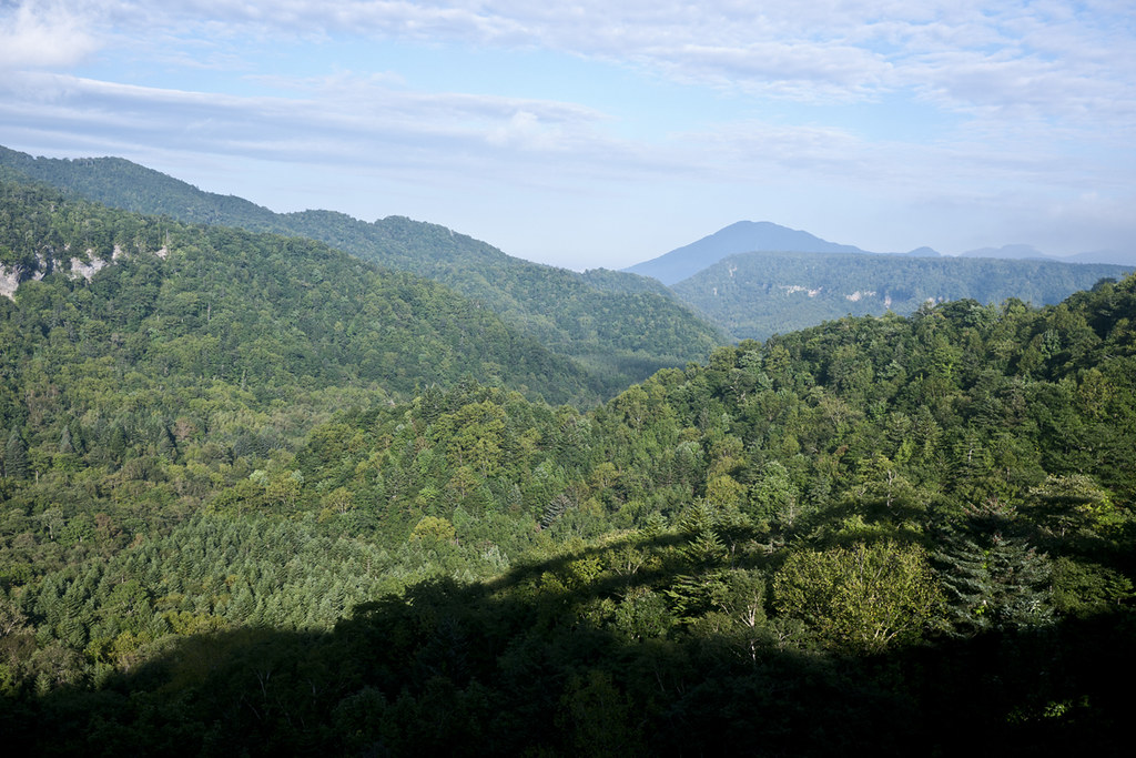
middle of nowhere land
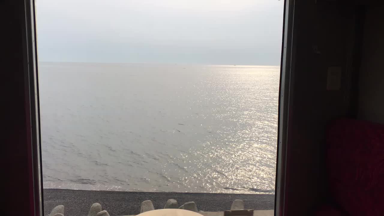
内浦湾/Uchiura Bay
特急北斗86号
特急北斗86号
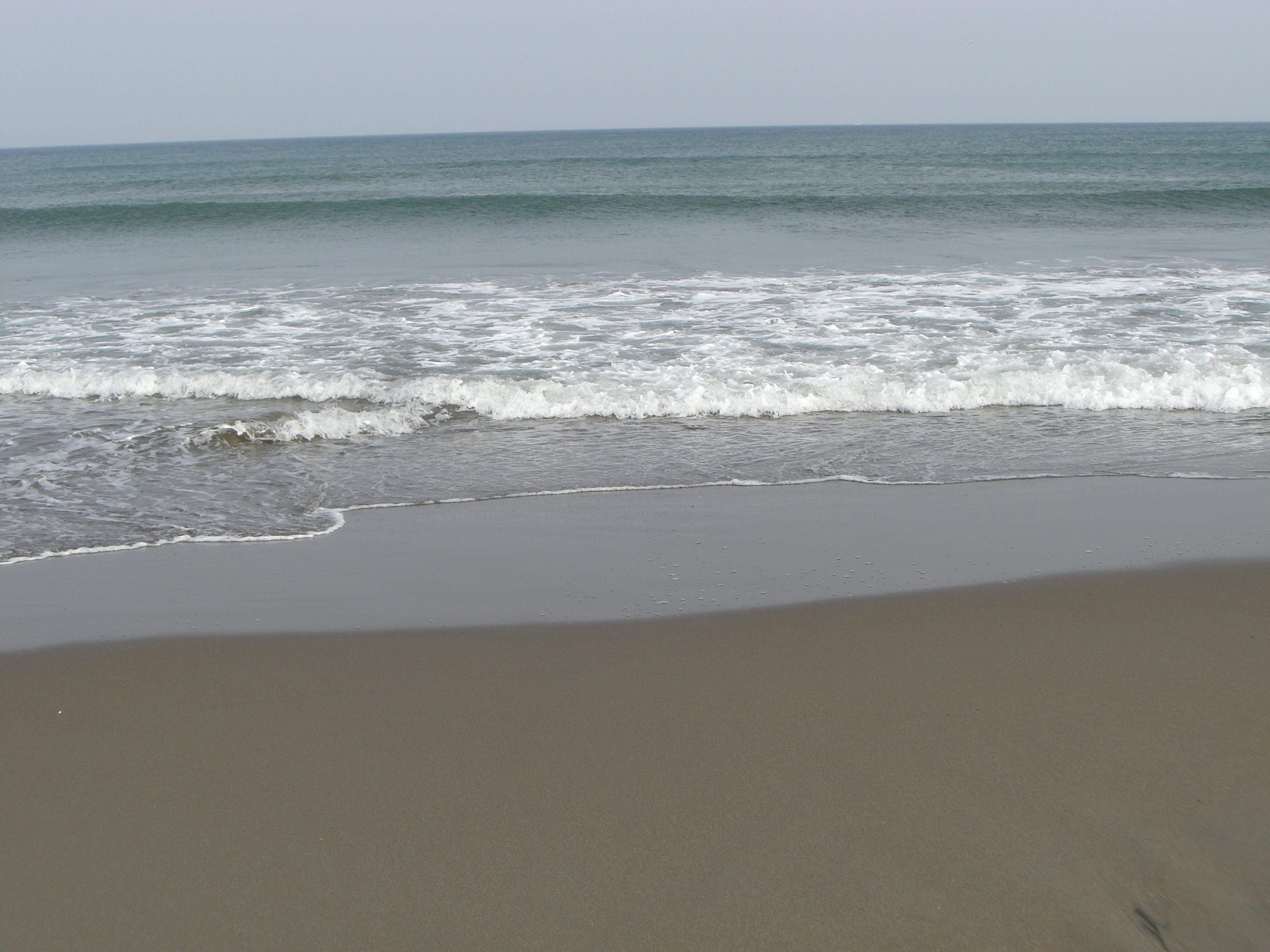
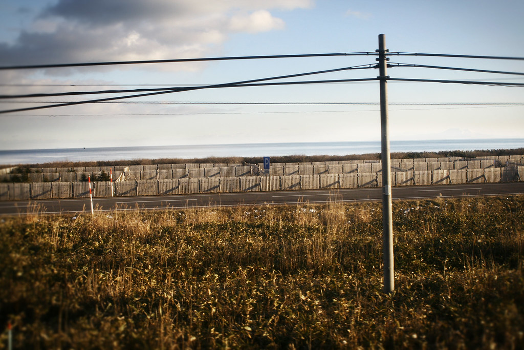
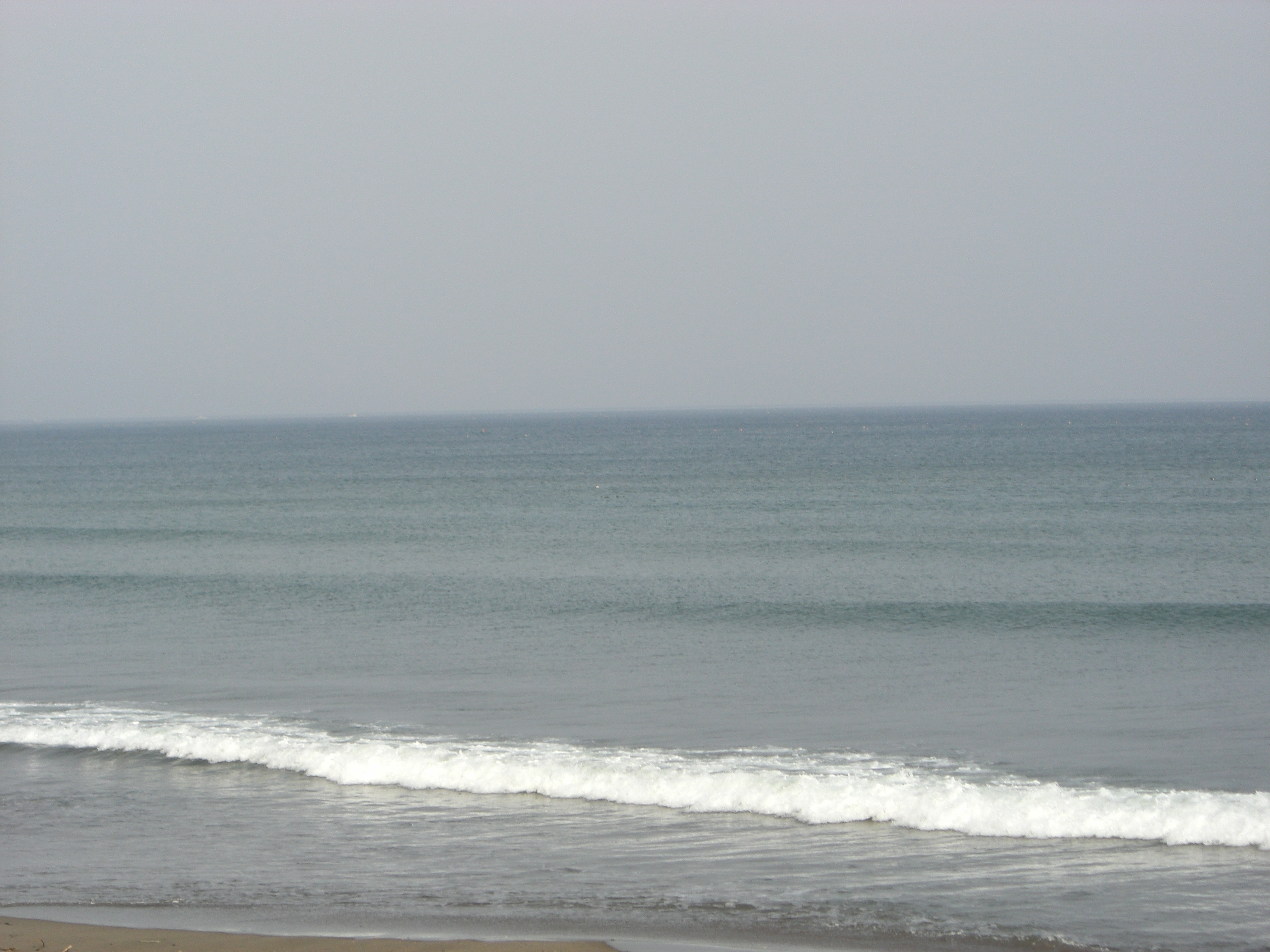
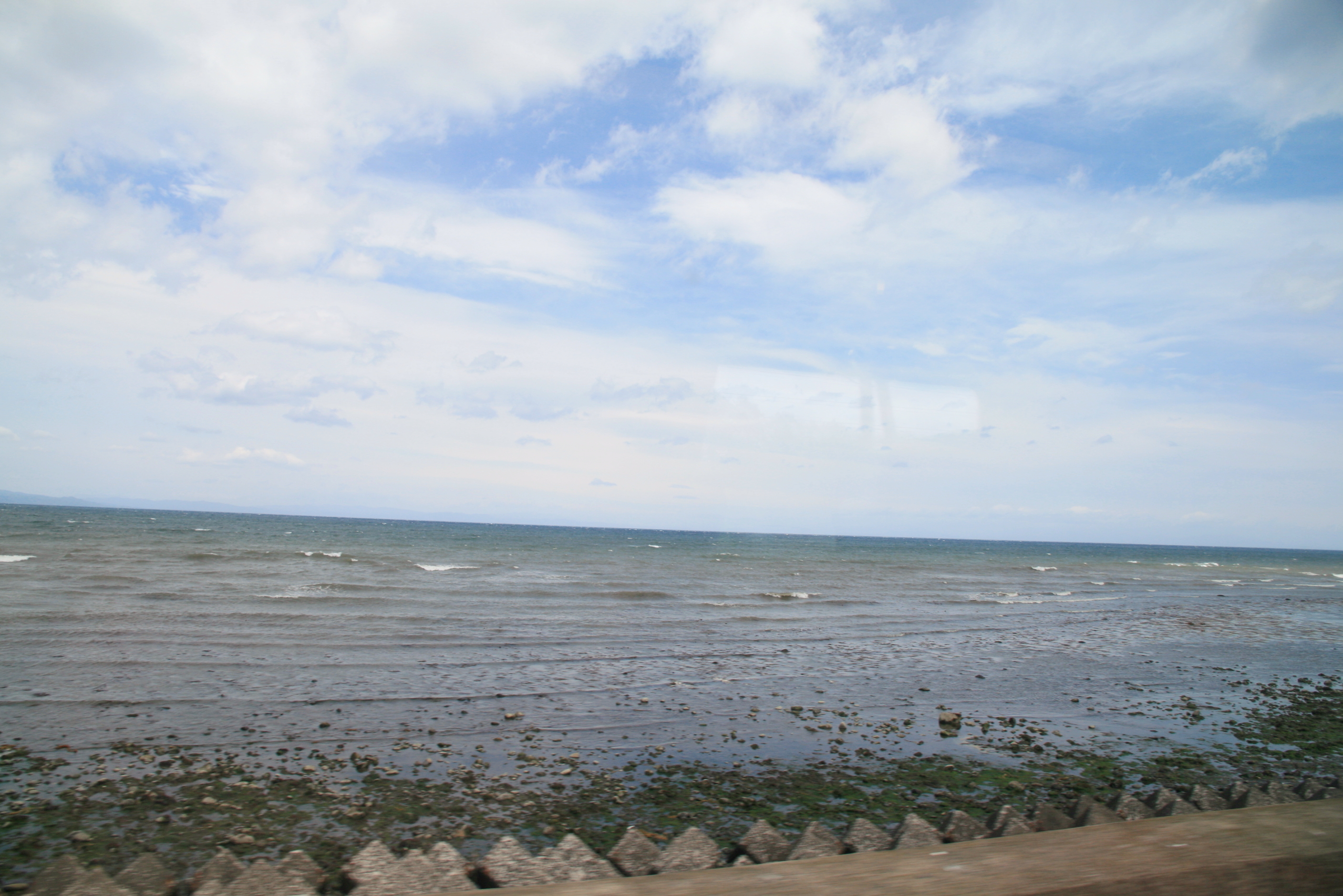
内浦湾/Uchiura Bay
留寿都
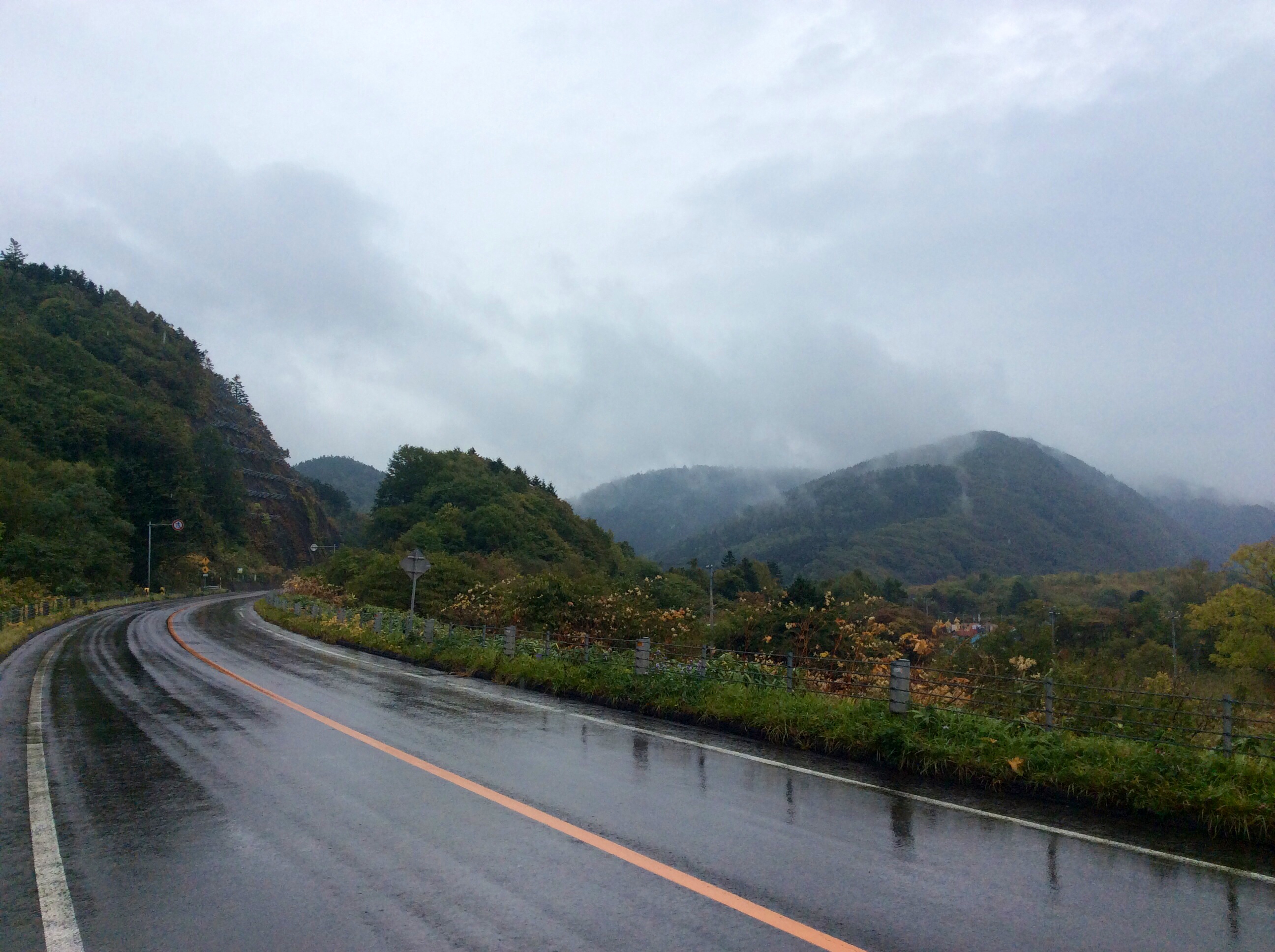
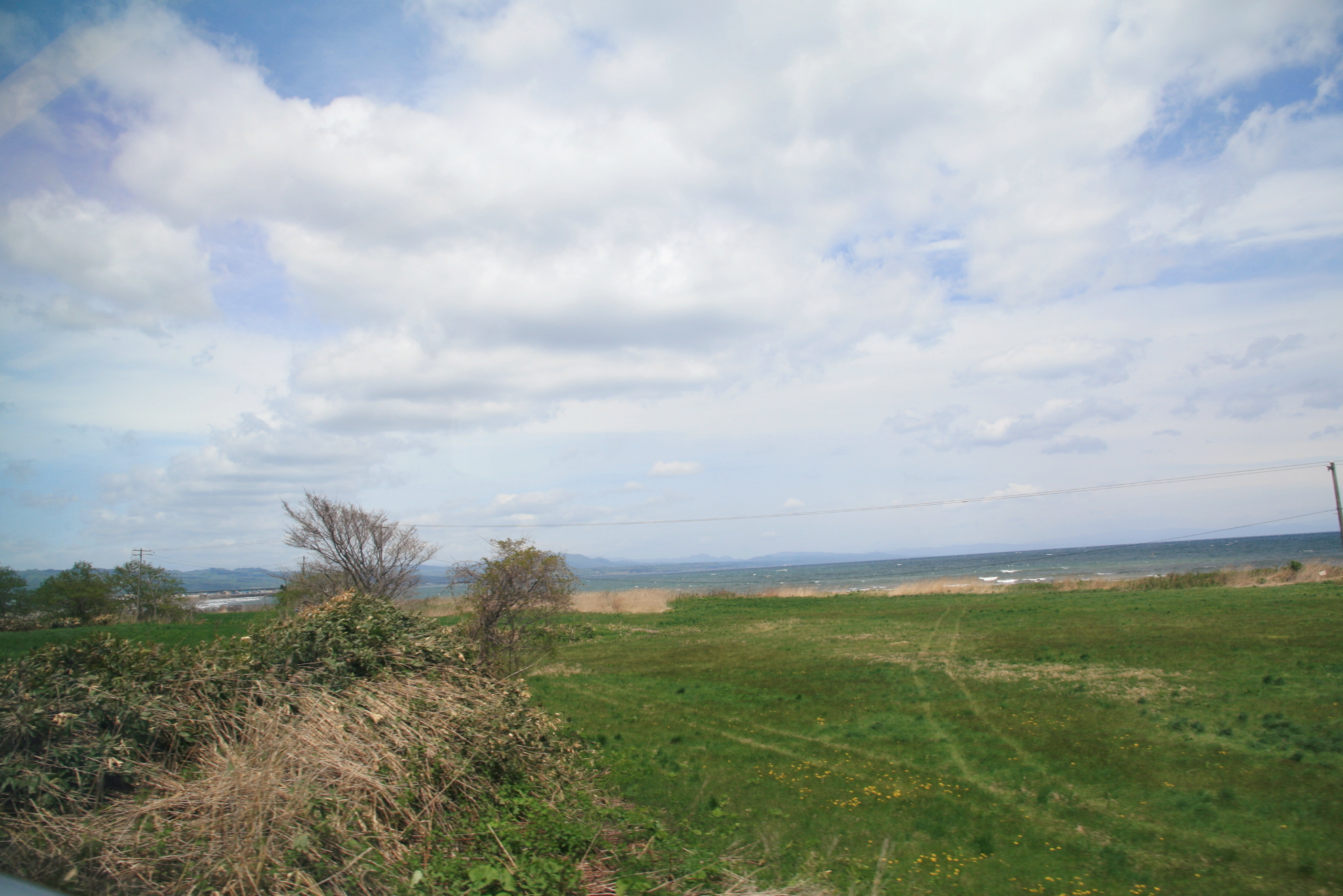
Rainy fall road to Toyoura.
Topographic Map of 41 Futaba, Oshamanbe-chō, Yamakoshi-gun, Hokkaidō -, Japan
Find elevation by address:

Places near 41 Futaba, Oshamanbe-chō, Yamakoshi-gun, Hokkaidō -, Japan:
Yamakoshi District
Warabitai, Oshamanbe-chō, Yamakoshi-gun, Hokkaidō -, Japan
Oshamanbe
75 Nakanosawa, Oshamanbe-chō, Yamakoshi-gun, Hokkaidō -, Japan
Kuromatsunai
Neppu, Kuromatsunai-chō, Suttsu-gun, Hokkaidō -, Japan
30 Kunnui, Oshamanbe-chō, Yamakoshi-gun, Hokkaidō -, Japan
-11 Shizukari, Oshamanbe-chō, Yamakoshi-gun, Hokkaidō -, Japan
Suttsu District
34 Minamisakkai, Kuromatsunai-chō, Suttsu-gun, Hokkaidō -, Japan
5 Kuroiwa, Yakumo-chō, Futami-gun, Hokkaidō -, Japan
65 Hanaishi, Imakane-chō, Setana-gun, Hokkaidō -, Japan
Tarukishi-20 Tarukishichō, Suttsu-chō, Suttsu-gun, Hokkaidō -, Japan
Suttsu
Aioi, Rankoshi-chō, Isoya-gun, Hokkaidō -, Japan
Yamazaki, Yakumo-chō, Futami-gun, Hokkaidō -, Japan
Tomari, Shimamaki-mura, Shimamaki-gun, Hokkaidō -, Japan
19 Ōtani, Rankoshi-chō, Isoya-gun, Hokkaidō -, Japan
Shimamaki
Tanekawa, Imakane-chō, Setana-gun, Hokkaidō -, Japan
Recent Searches:
- Elevation of Zimmer Trail, Pennsylvania, USA
- Elevation of 87 Kilmartin Ave, Bristol, CT, USA
- Elevation of Honghe National Nature Reserve, QP95+PJP, Tongjiang, Heilongjiang, Jiamusi, Heilongjiang, China
- Elevation of Hercules Dr, Colorado Springs, CO, USA
- Elevation of Szlak pieszy czarny, Poland
- Elevation of Griffing Blvd, Biscayne Park, FL, USA
- Elevation of Kreuzburger Weg 13, Düsseldorf, Germany
- Elevation of Gateway Blvd SE, Canton, OH, USA
- Elevation of East W.T. Harris Boulevard, E W.T. Harris Blvd, Charlotte, NC, USA
- Elevation of West Sugar Creek, Charlotte, NC, USA