Elevation of Suttsu, Suttsu District, Hokkaido Prefecture, Japan
Location: Japan > Hokkaido Prefecture > Suttsu District >
Longitude: 140.228980
Latitude: 42.7909787
Elevation: 27m / 89feet
Barometric Pressure: 101KPa
Elevation Map:
Satellite Map:
Related Photos:
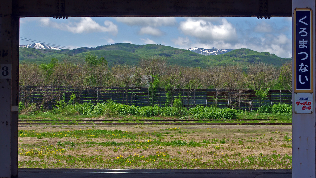
View from Kuromatsunai Station, Hokkaido 黒松内 北海道

大丸磯灯台

Purple and White Origami 折り紙 TudioJepegii
150 Series
150 Series

#raphaprestige #rpniseko #abscc #mudmanbros
パナレーサーを愛用しているTeamRuedaNAGOYAはprestigeグラベル区間ノートラブル!安心のパナレーサー♫ #teamruedanagoya #panaracer #パナレーサー

Folding the Tern Verge S27h folding touring bicycle
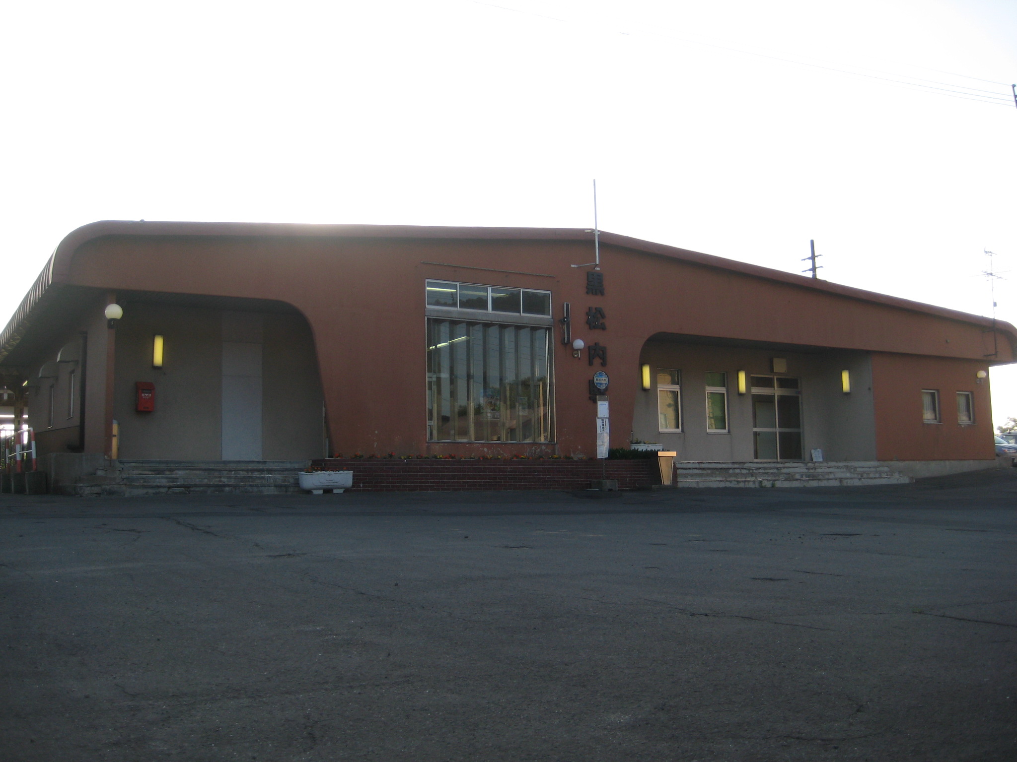
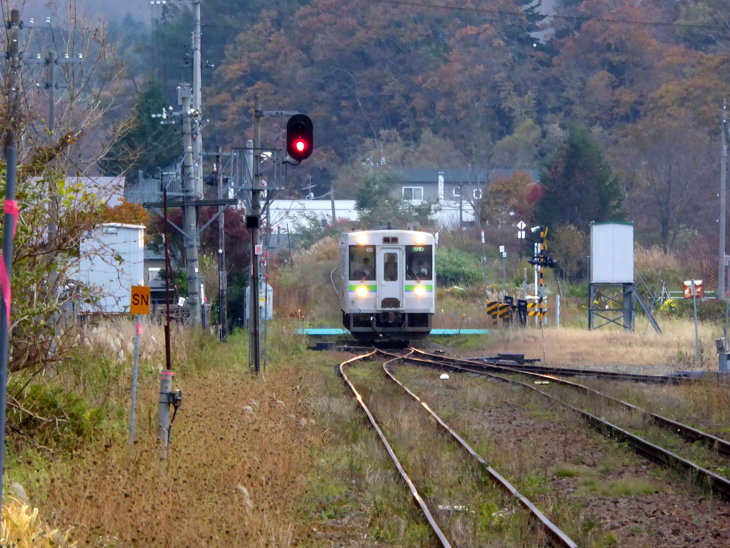
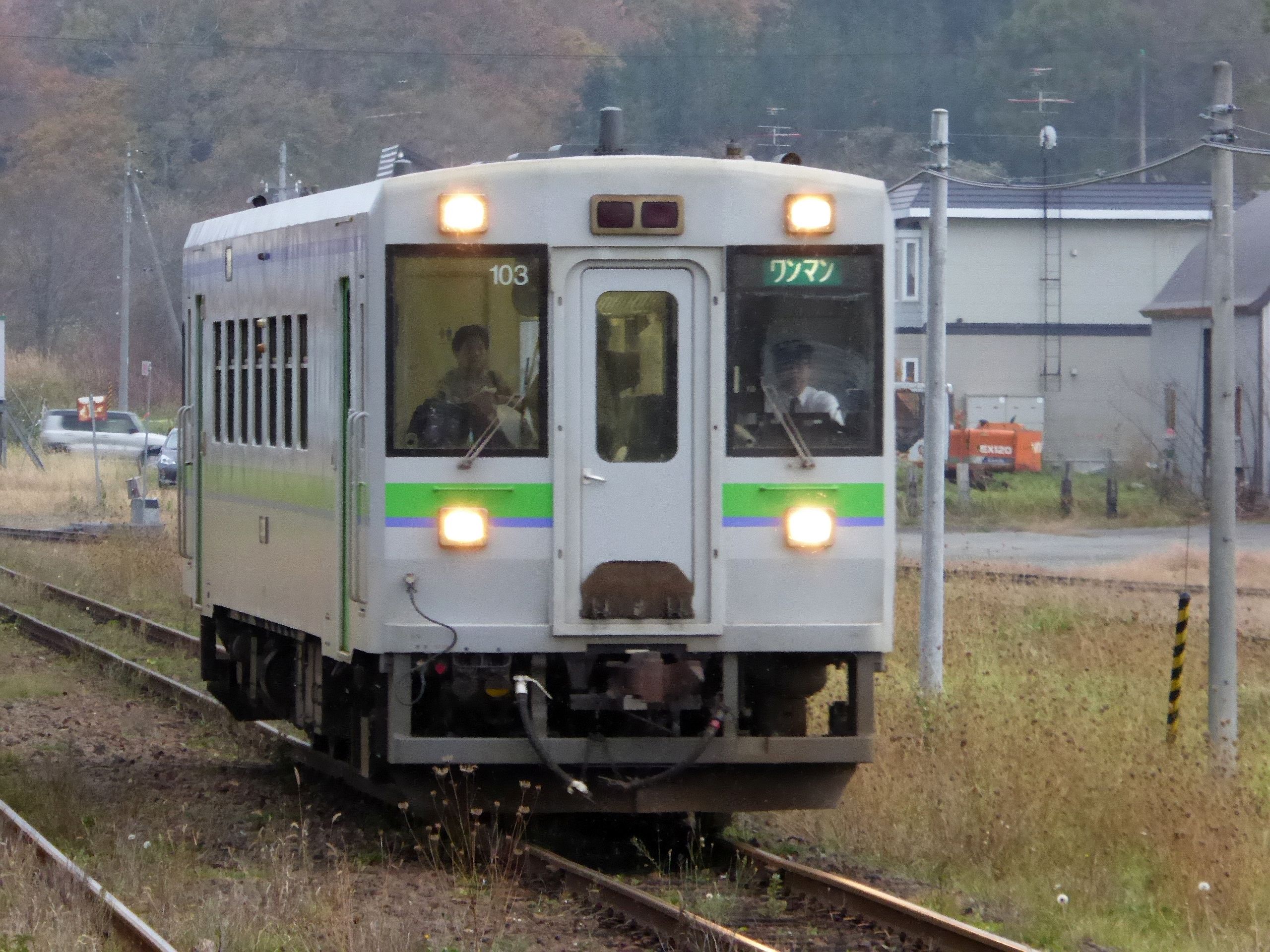
黒松内駅

Spiritual Stop

07-16

07-15

07-14

07-13
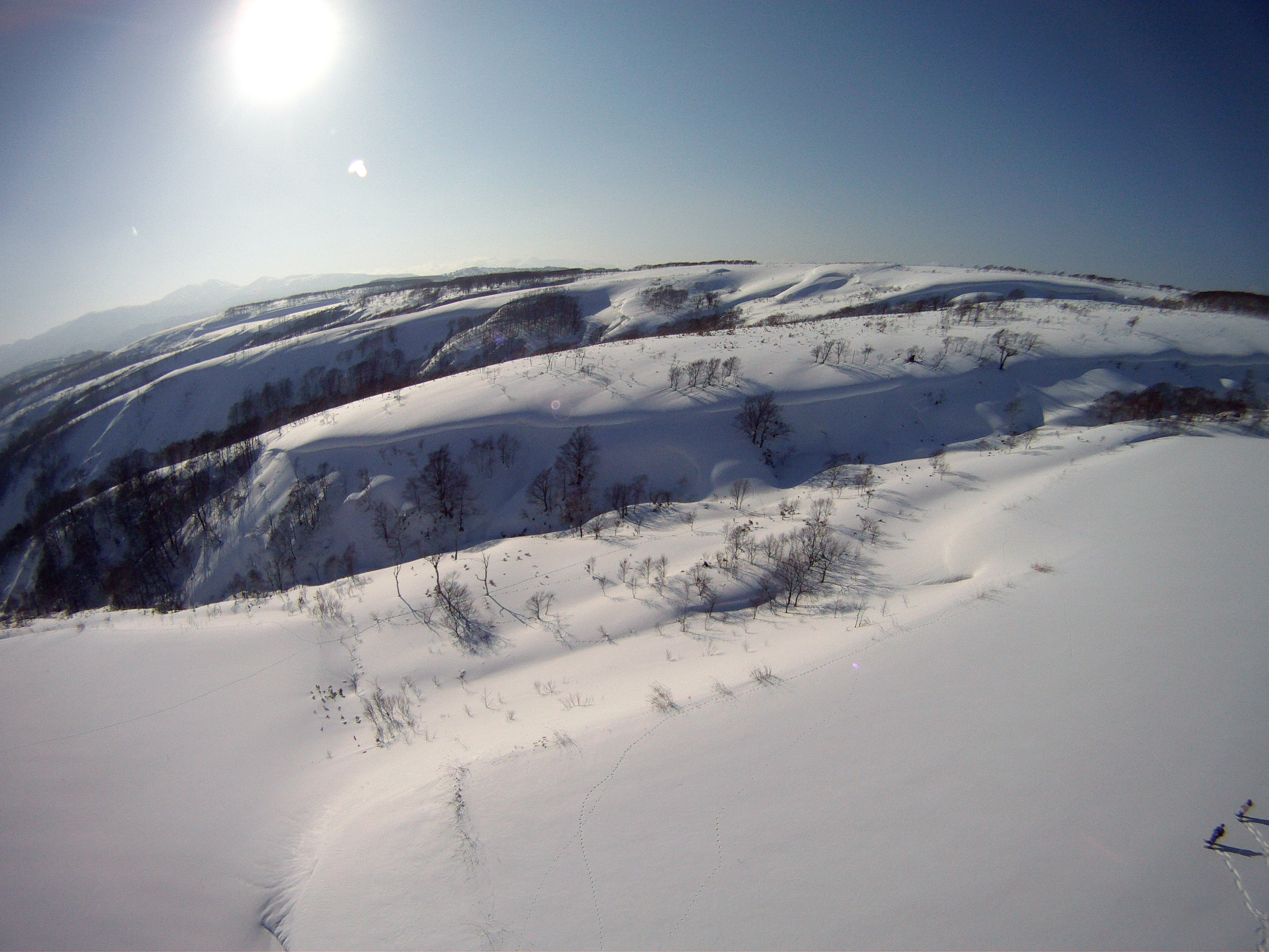
月越峠 - Tsukkoshi Ridge 1

弁慶岬灯台2

弁慶岬灯台1
Topographic Map of Suttsu, Suttsu District, Hokkaido Prefecture, Japan
Find elevation by address:

Places in Suttsu, Suttsu District, Hokkaido Prefecture, Japan:
Places near Suttsu, Suttsu District, Hokkaido Prefecture, Japan:
Tarukishi-20 Tarukishichō, Suttsu-chō, Suttsu-gun, Hokkaidō -, Japan
34 Minamisakkai, Kuromatsunai-chō, Suttsu-gun, Hokkaidō -, Japan
Suttsu District
Kuromatsunai
Neppu, Kuromatsunai-chō, Suttsu-gun, Hokkaidō -, Japan
Tomari, Shimamaki-mura, Shimamaki-gun, Hokkaidō -, Japan
Shimamaki
Warabitai, Oshamanbe-chō, Yamakoshi-gun, Hokkaidō -, Japan
Isoya District
41 Futaba, Oshamanbe-chō, Yamakoshi-gun, Hokkaidō -, Japan
Shimamaki District
Aioi, Rankoshi-chō, Isoya-gun, Hokkaidō -, Japan
19 Ōtani, Rankoshi-chō, Isoya-gun, Hokkaidō -, Japan
Yamakoshi District
Rankoshi
-11 Shizukari, Oshamanbe-chō, Yamakoshi-gun, Hokkaidō -, Japan
Oshamanbe
75 Nakanosawa, Oshamanbe-chō, Yamakoshi-gun, Hokkaidō -, Japan
-1 Aioi, Iwanai-chō, Iwanai-gun, Hokkaidō -, Japan
Iwanai
Recent Searches:
- Elevation of Zimmer Trail, Pennsylvania, USA
- Elevation of 87 Kilmartin Ave, Bristol, CT, USA
- Elevation of Honghe National Nature Reserve, QP95+PJP, Tongjiang, Heilongjiang, Jiamusi, Heilongjiang, China
- Elevation of Hercules Dr, Colorado Springs, CO, USA
- Elevation of Szlak pieszy czarny, Poland
- Elevation of Griffing Blvd, Biscayne Park, FL, USA
- Elevation of Kreuzburger Weg 13, Düsseldorf, Germany
- Elevation of Gateway Blvd SE, Canton, OH, USA
- Elevation of East W.T. Harris Boulevard, E W.T. Harris Blvd, Charlotte, NC, USA
- Elevation of West Sugar Creek, Charlotte, NC, USA