Elevation of Shendur, Maharashtra, India
Location: India > Maharashtra > Kolhapur >
Longitude: 74.2575477
Latitude: 16.5166815
Elevation: 560m / 1837feet
Barometric Pressure: 95KPa
Elevation Map:
Satellite Map:
Related Photos:

5171

Act pics in HDR and non HDR.
Foggy time...!

Depressed cat :(OR sleeping cat |)

कणेरी मठ, पेठचा गणपती, जोतिबा, नरसोबाची वाडी, महालक्ष्मी कोल्हापूर.

कणेरी मठ, पेठचा गणपती, जोतिबा, नरसोबाची वाडी, महालक्ष्मी कोल्हापूर.
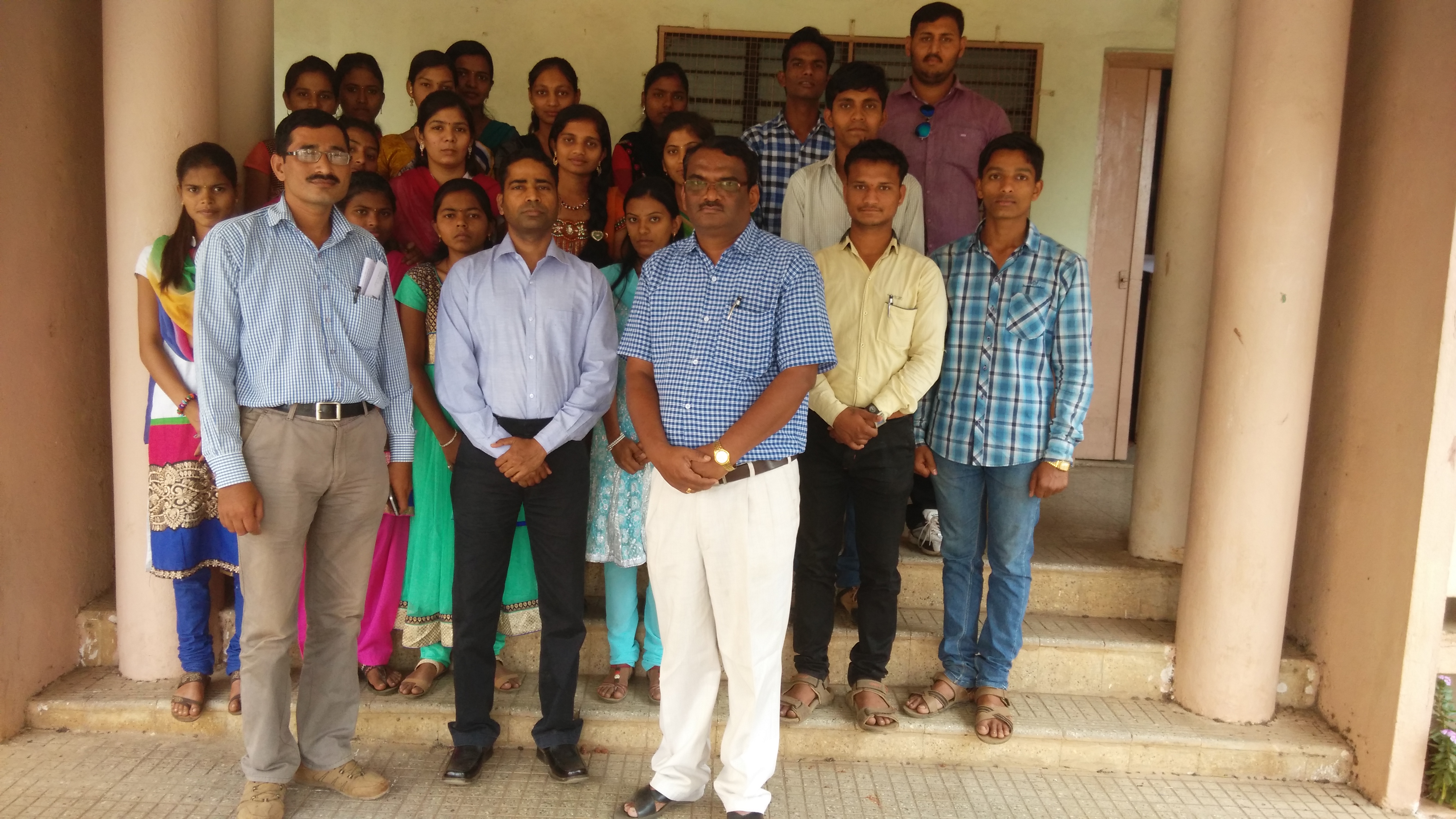
Lecture on National Science Day at Bidri, kagal, Kolhapur for Sr. & Jr college student & teachers. All Lectures since 26-02-2016 are organised by Marathi Vidnyan Parishad, Gadhinglaj

Lecture on National Science Day at Bidri, kagal, Kolhapur for Sr. & Jr college student & teachers. All Lectures since 26-02-2016 are organised by Marathi Vidnyan Parishad, Gadhinglaj
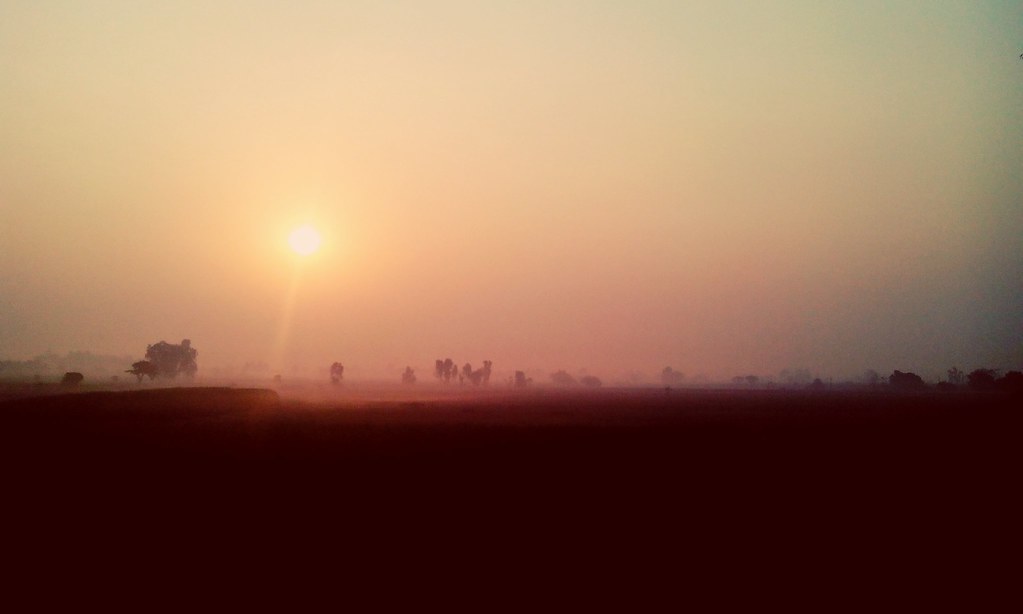
Rather pretty sunrise!

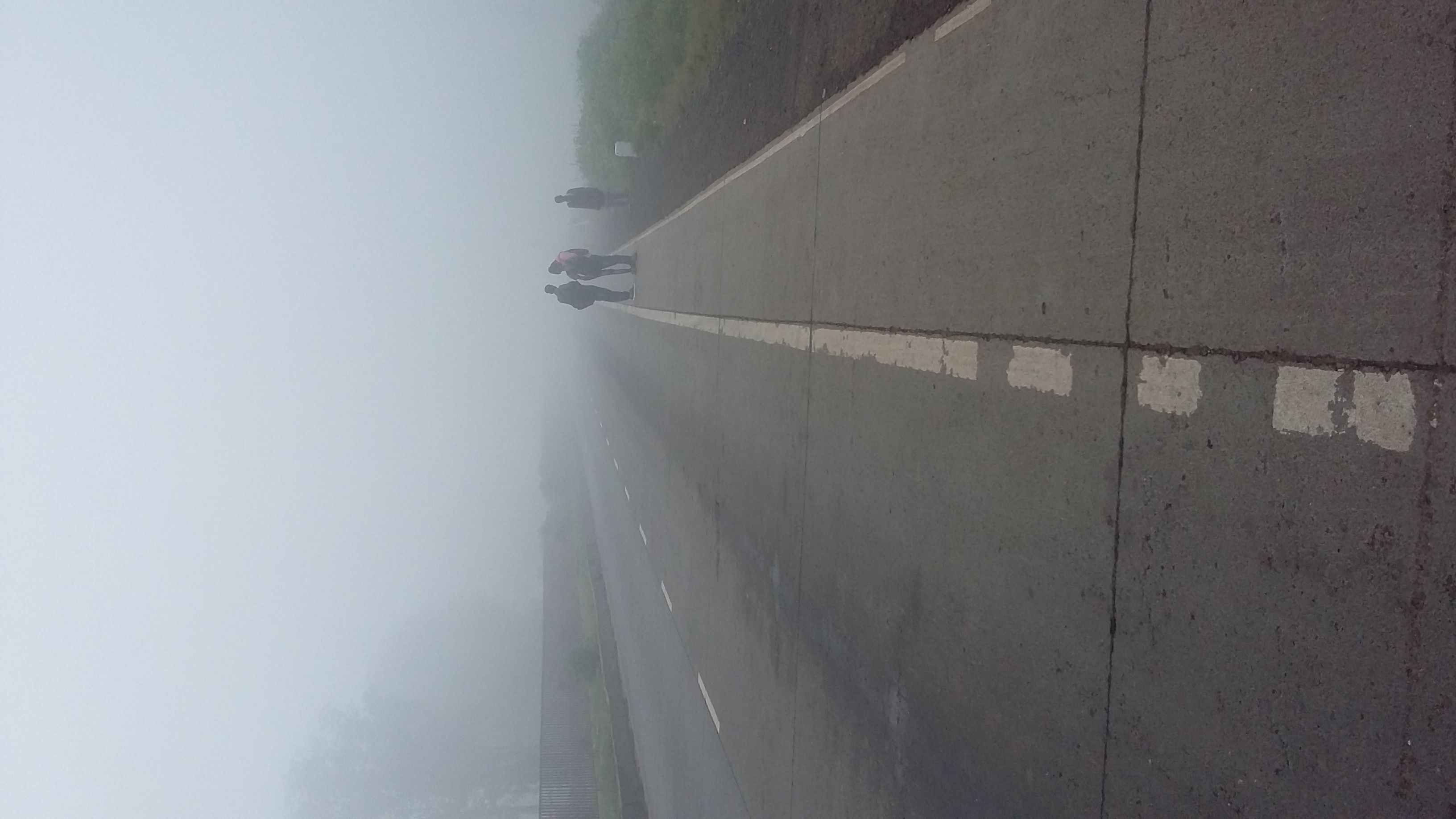
Superb Indian highways.

Poop Shoot!

Hotel Cook

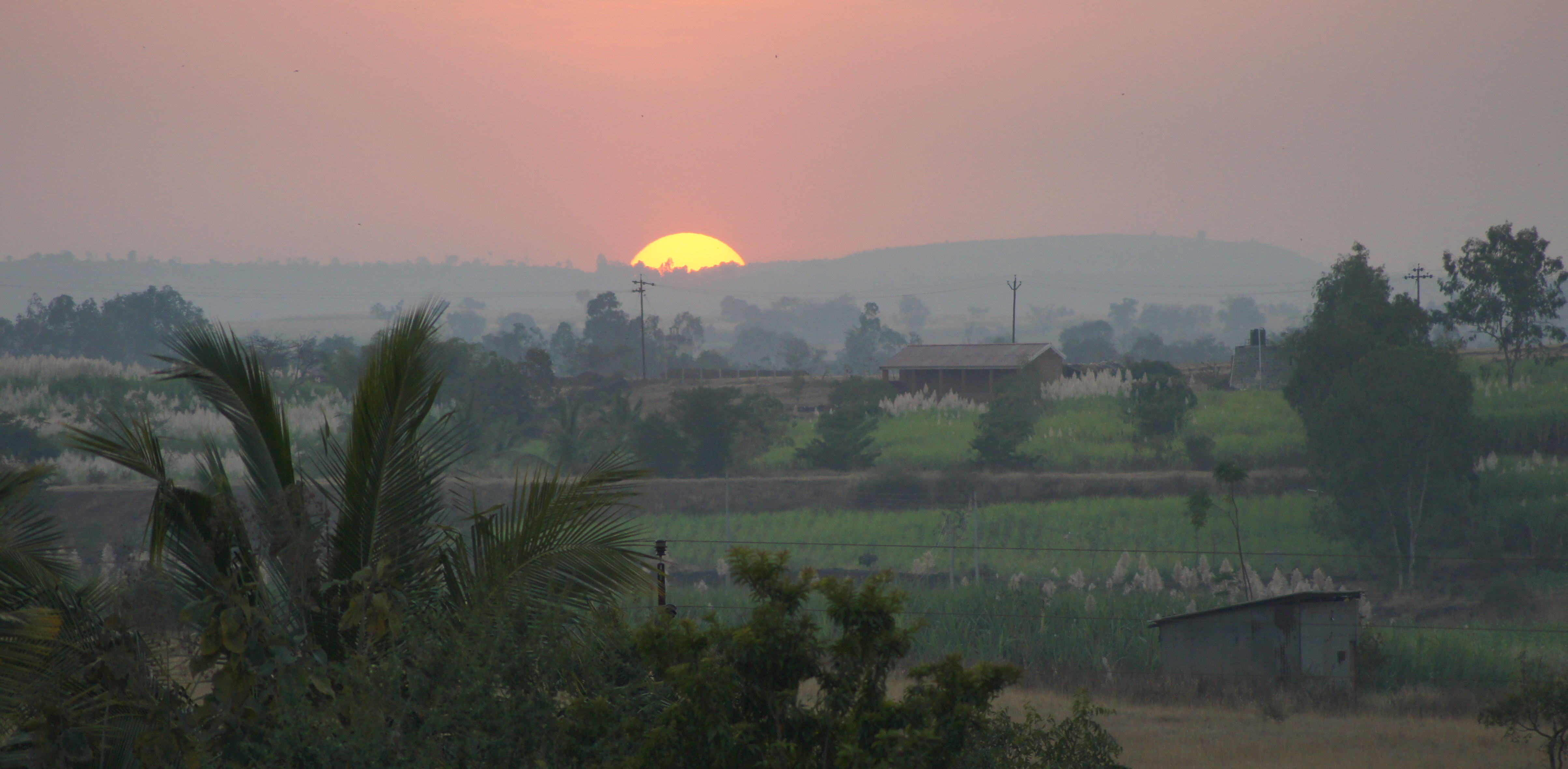
Sunset in Maharashtra
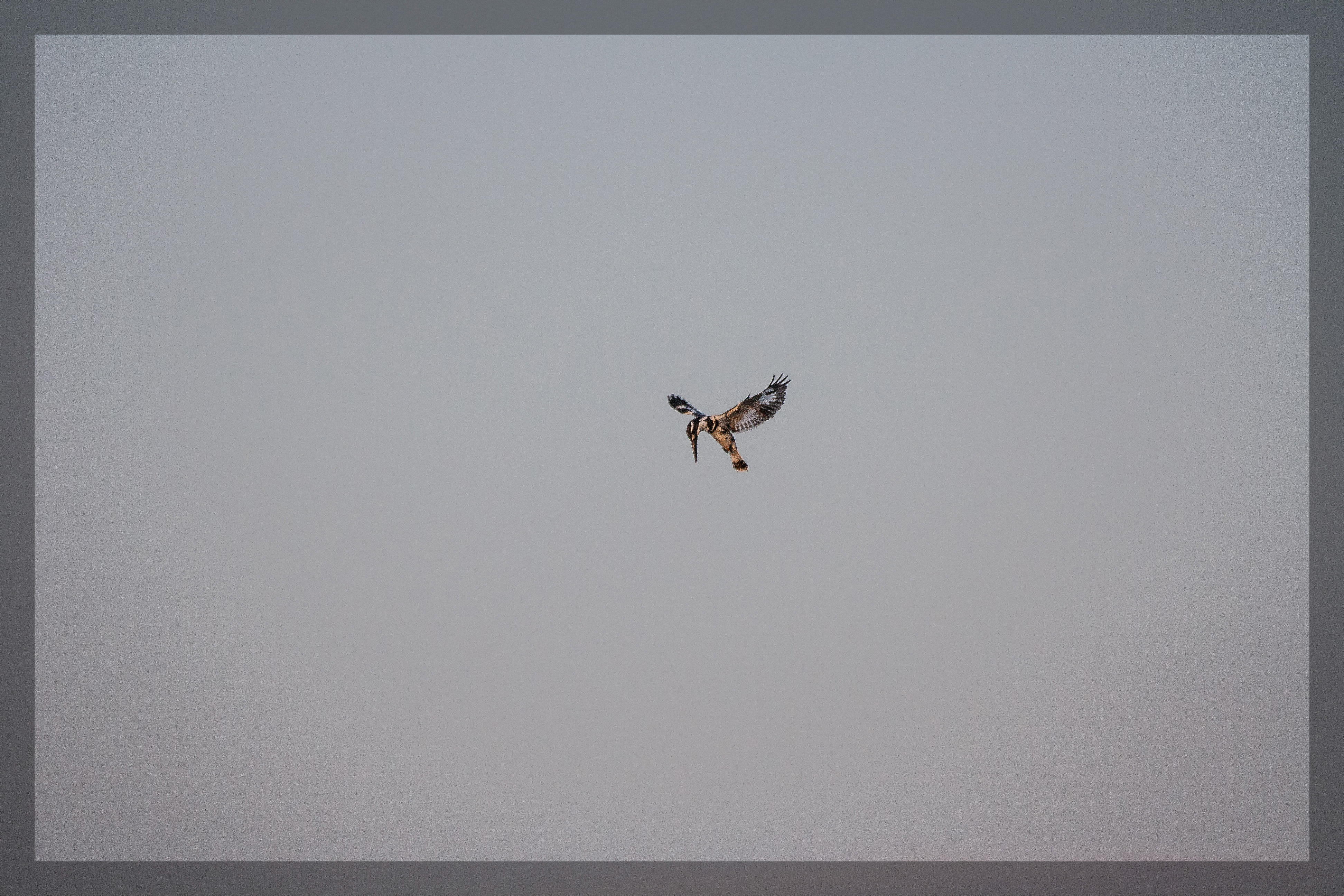
Hovering Pied Kingfisher

India: Neha and Her Mom

India Temple Stall

India Temple Stall

Making Flat Bread India

Papaya Tree India
Indian Sunset

the village river

Kagal S_T stand
Topographic Map of Shendur, Maharashtra, India
Find elevation by address:

Places in Shendur, Maharashtra, India:
Places near Shendur, Maharashtra, India:
Malwadi
Mhakave
Kenavade
Sake
Savarde Kh.
Appachiwadi
S T Stand, Savarde Khurd
Kembali
Koulage
Savarde Buduruk
Bastawade
Savarde Bk.
Pirachiwadi
Malage Khurd
Sonage Post Office
Hamidwada
Surupali
Khadakewada
Kurni
Benikre
Recent Searches:
- Elevation of Lake Rotoroa, Tasman, New Zealand
- Elevation of George St, New Bern, NC, USA
- Elevation of Cove Rd, Jasper, GA, USA
- Elevation of Cove Rd, Jasper, GA, USA
- Elevation of South Yankee Meadow Road, Forest Road, Paragonah, UT, USA
- Elevation of SW Elderview Dr, Sherwood, OR, USA
- Elevation of Hickory St, Greenville, NC, USA
- Elevation of Poplar Ln, Guffey, CO, USA
- Elevation of Falling Spring Rd, Clyde, NC, USA
- Elevation of Kingsfield St, Castle Rock, CO, USA