Elevation of Sake, Maharashtra, India
Location: India > Maharashtra > Kolhapur >
Longitude: 74.2032581
Latitude: 16.4996314
Elevation: 598m / 1962feet
Barometric Pressure: 94KPa
Elevation Map:
Satellite Map:
Related Photos:

5171

कणेरी मठ, पेठचा गणपती, जोतिबा, नरसोबाची वाडी, महालक्ष्मी कोल्हापूर.

कणेरी मठ, पेठचा गणपती, जोतिबा, नरसोबाची वाडी, महालक्ष्मी कोल्हापूर.
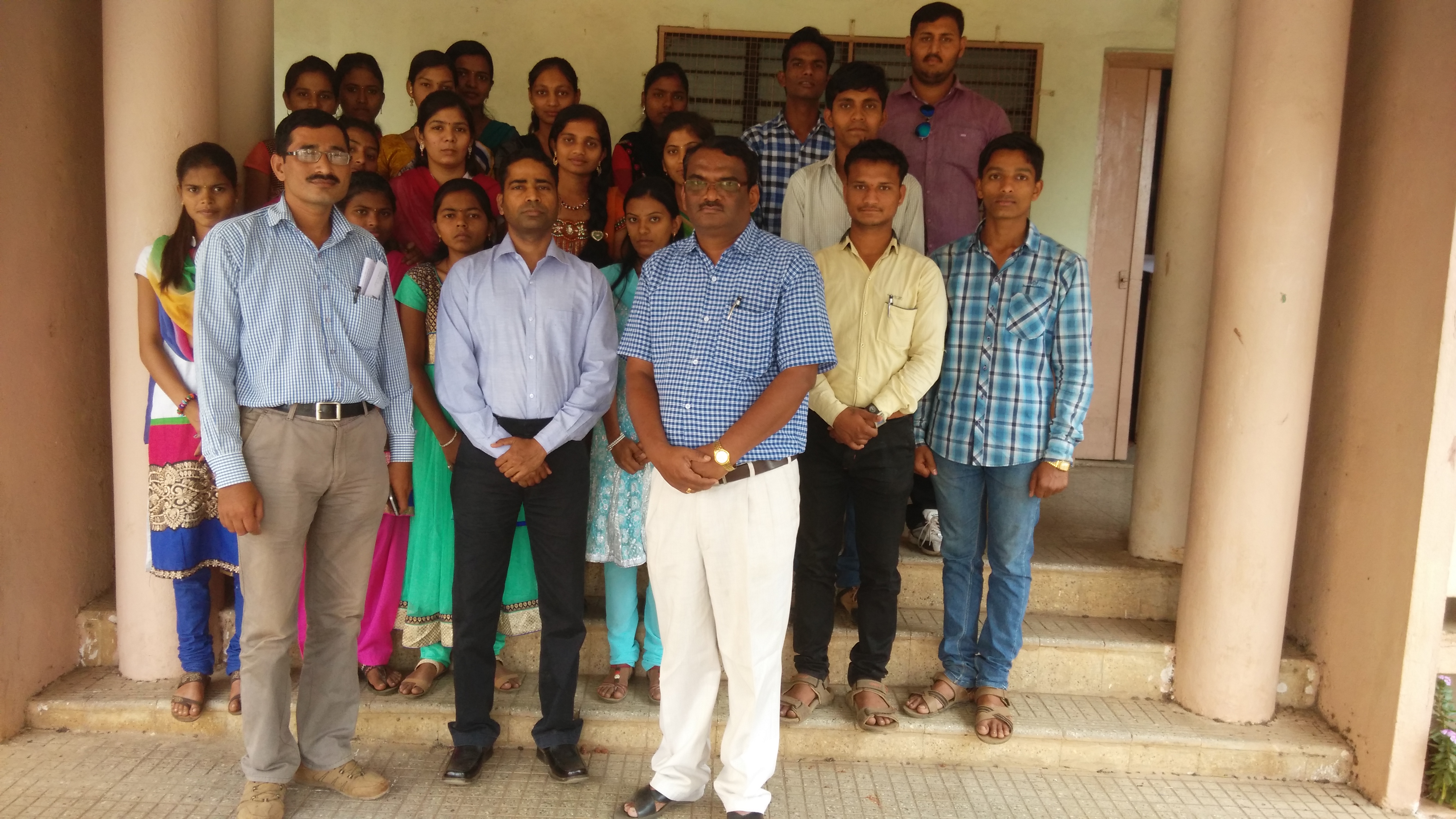
Lecture on National Science Day at Bidri, kagal, Kolhapur for Sr. & Jr college student & teachers. All Lectures since 26-02-2016 are organised by Marathi Vidnyan Parishad, Gadhinglaj

Lecture on National Science Day at Bidri, kagal, Kolhapur for Sr. & Jr college student & teachers. All Lectures since 26-02-2016 are organised by Marathi Vidnyan Parishad, Gadhinglaj

Lecture on National Science Day at Bidri, kagal, Kolhapur for Sr. & Jr college student & teachers. All Lectures since 26-02-2016 are organised by Marathi Vidnyan Parishad, Gadhinglaj

Superb Indian highways.
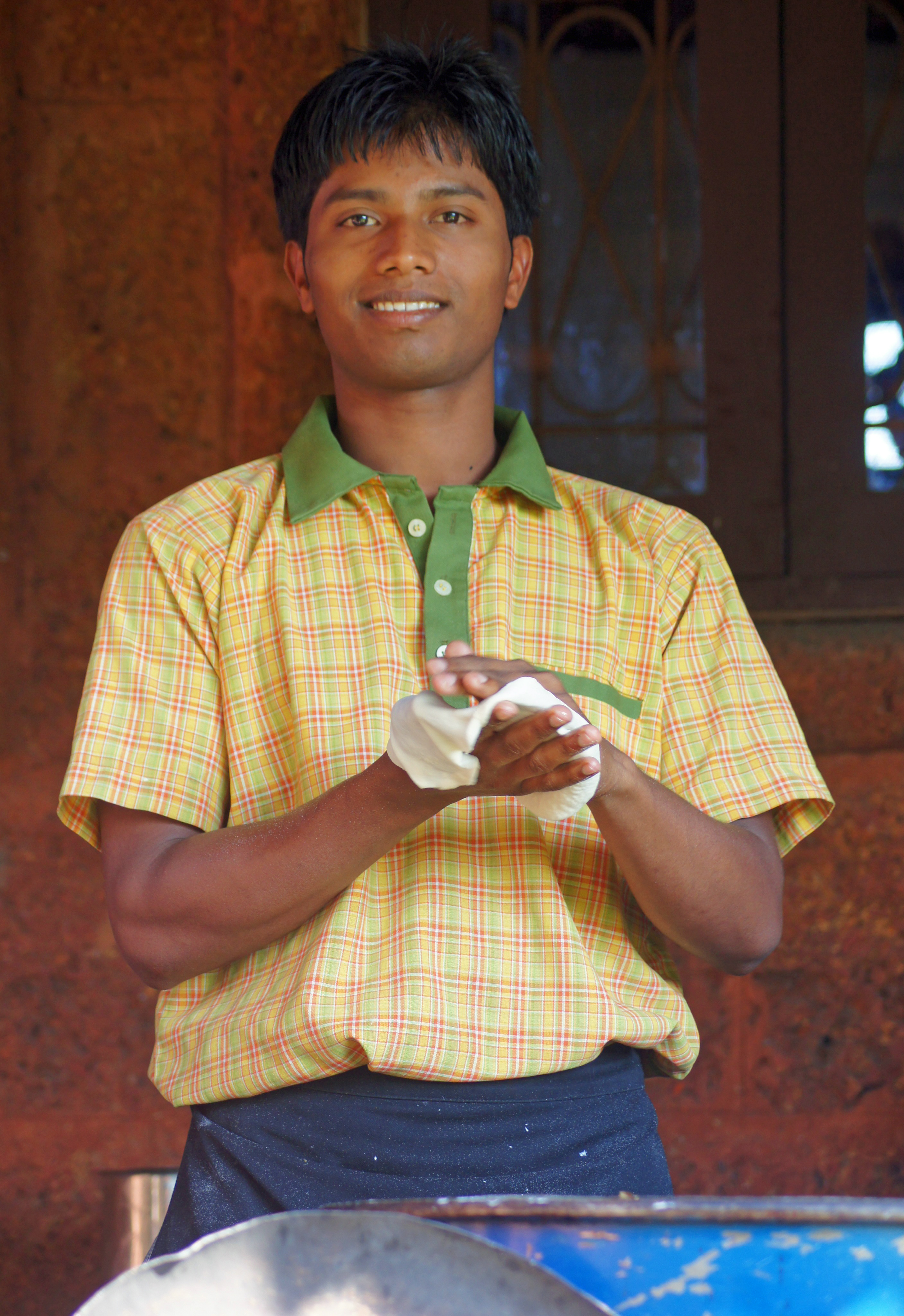
Hotel Cook

India: Neha and Her Mom

India Temple Stall

India Temple Stall

Making Flat Bread India

Papaya Tree India
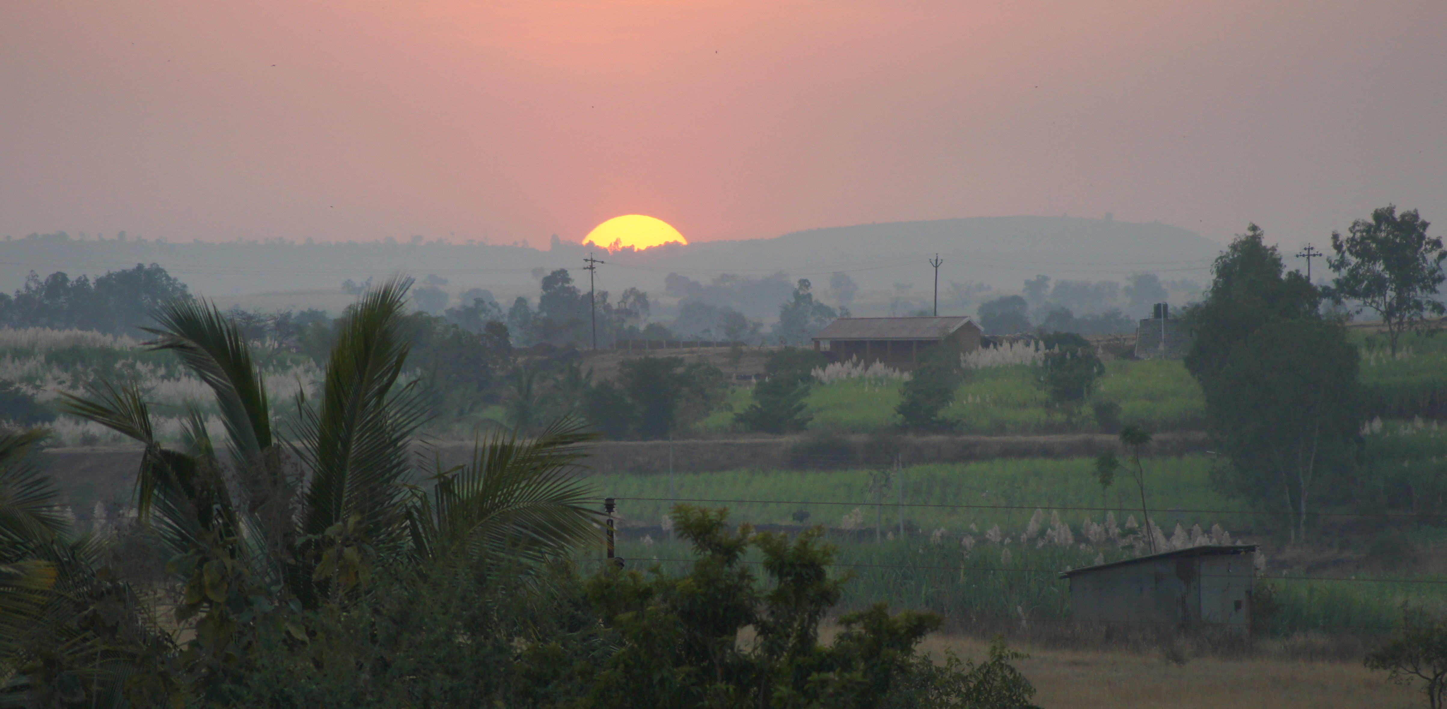
Indian Sunset

the village river

Kagal S_T stand

Kolhapur-Panji

A date with a Sunflower
Topographic Map of Sake, Maharashtra, India
Find elevation by address:

Places near Sake, Maharashtra, India:
Kembali
Savarde Kh.
S T Stand, Savarde Khurd
Kenavade
Savarde Buduruk
Pirachiwadi
Savarde Bk.
Shendur
Malwadi
Malage Khurd
Kurni
Mhakave
Surupali
Sonage Post Office
Bastawade
Koulage
Yamage
Appachiwadi
Hamidwada
Benikre
Recent Searches:
- Elevation of Blattner Rd, Philo, CA, USA
- Elevation of Polzela, Slovenia
- Elevation of Gorod Kislovodsk, Stavropol Krai, Russia
- Elevation of Kislovodsk, Stavropol Krai, Russia
- Elevation of Eagle Stone Drive, Eagle Stone Dr, The Preserve at Corkscrew, FL, USA
- Elevation of Formby Ct, Myrtle Beach, SC, USA
- Elevation of Hobbyhorse Ct, Dover, DE, USA
- Elevation of Horseshoe Ln, Dahlonega, GA, USA
- Elevation of Village Point Dr, Daphne, AL, USA
- Elevation map of Kabardino-Balkarian Republic, Russia