Elevation of Koulage, Karnataka, India
Location: India > Karnataka > Belagavi >
Longitude: 74.2898204
Latitude: 16.4504941
Elevation: 555m / 1821feet
Barometric Pressure: 95KPa
Elevation Map:
Satellite Map:
Related Photos:

IMG_2628

#lightening #effect #light #roof #decoration #rooftops #lightforlife #instamoment #hotel #amar #tavandi #ghat #karnataka #india

Superb Indian highways.
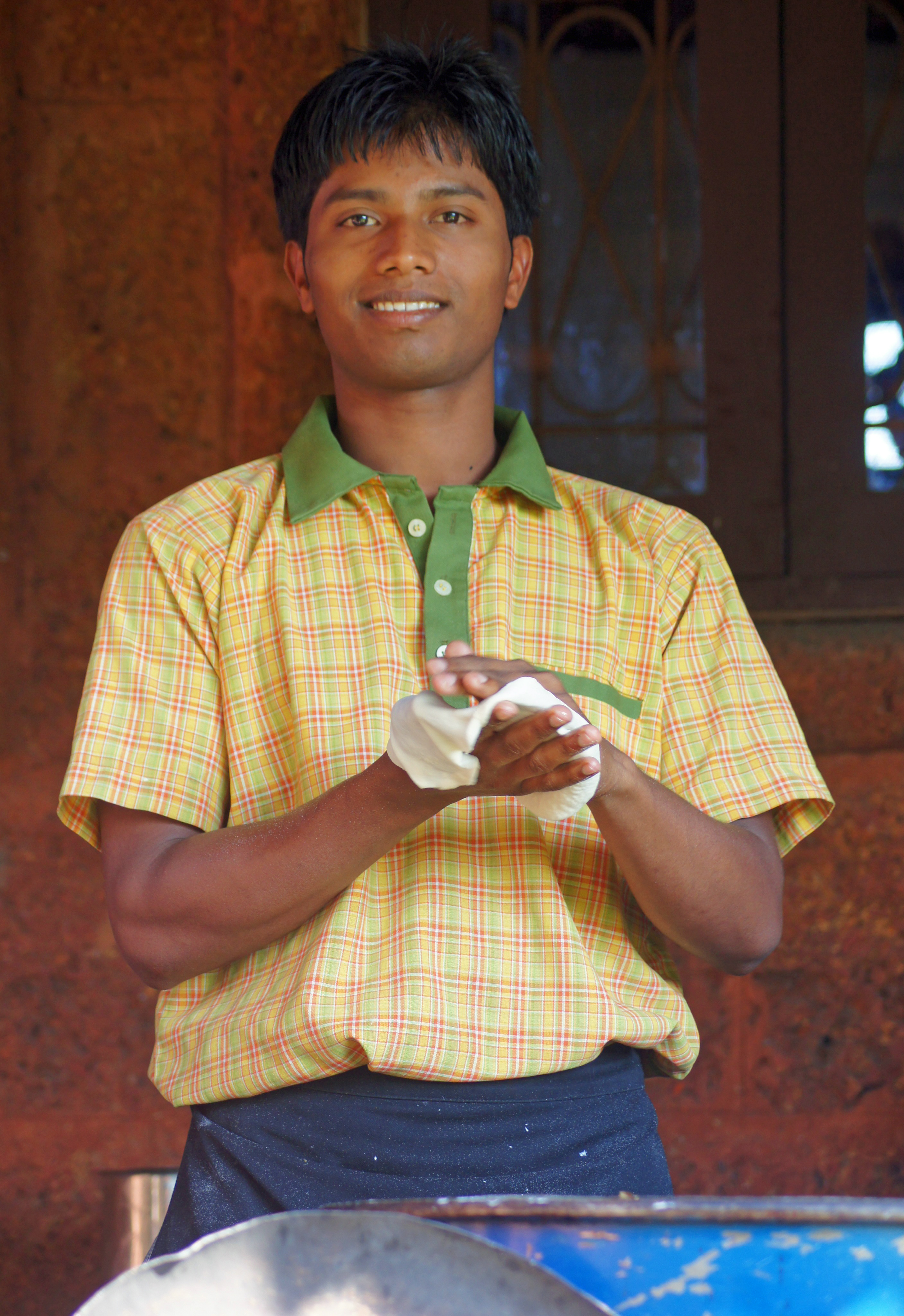
Hotel Cook

Making Flat Bread India

Papaya Tree India
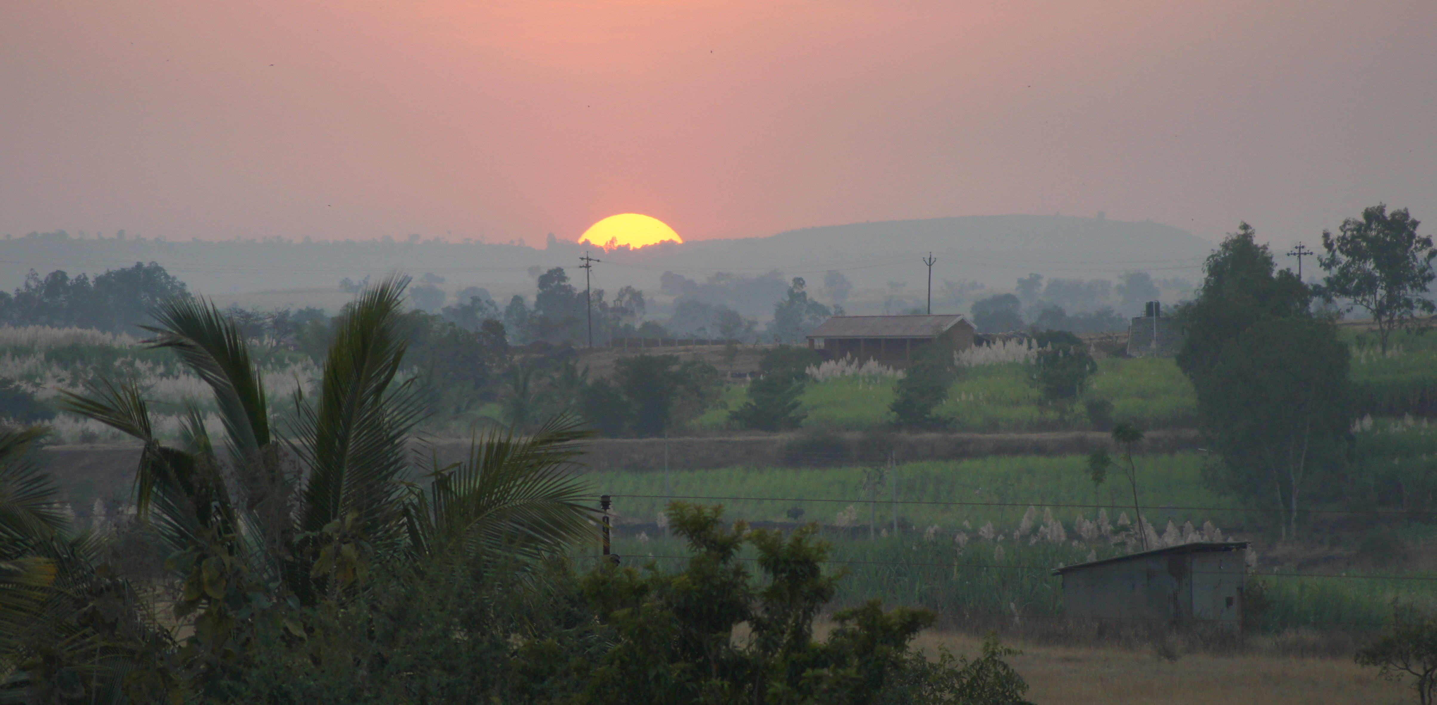
Indian Sunset

Kolhapur-Panji

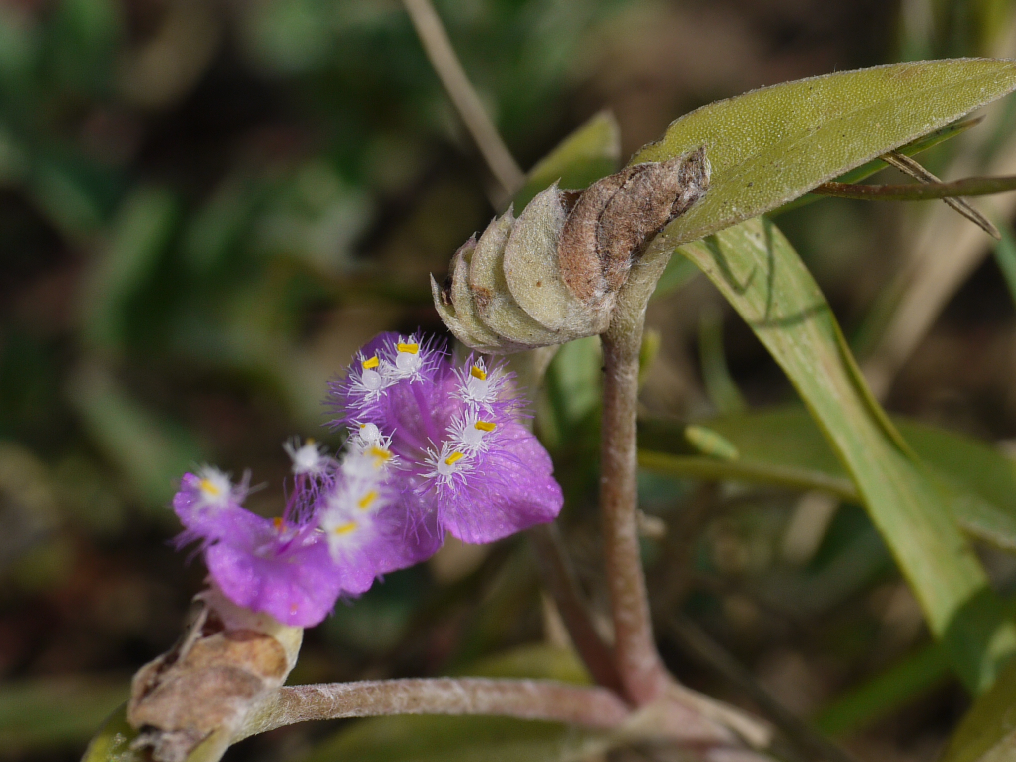
Stylosanthes hamata (L.) Taub.

Hamata (Marathi: हमाटा)

Caribbean stylo
Cyanotis ¿ species ?

Cyanotis ¿ species ?
Topographic Map of Koulage, Karnataka, India
Find elevation by address:

Places near Koulage, Karnataka, India:
Bastawade
Mhakave
Hamidwada
Sonage Post Office
Appachiwadi
Khadakewada
Lingnoor Kapshi
Malage Khurd
Benikre
Surupali
Kenavade
Galgale
Savarde Kh.
Shendur
Malwadi
Savarde Bk.
S T Stand, Savarde Khurd
Kardyal
Haladi
Arjuni
Recent Searches:
- Elevation of Congressional Dr, Stevensville, MD, USA
- Elevation of Bellview Rd, McLean, VA, USA
- Elevation of Stage Island Rd, Chatham, MA, USA
- Elevation of Shibuya Scramble Crossing, 21 Udagawacho, Shibuya City, Tokyo -, Japan
- Elevation of Jadagoniai, Kaunas District Municipality, Lithuania
- Elevation of Pagonija rock, Kranto 7-oji g. 8"N, Kaunas, Lithuania
- Elevation of Co Rd 87, Jamestown, CO, USA
- Elevation of Tenjo, Cundinamarca, Colombia
- Elevation of Côte-des-Neiges, Montreal, QC H4A 3J6, Canada
- Elevation of Bobcat Dr, Helena, MT, USA