Elevation of Mhakave, Maharashtra, India
Location: India > Maharashtra > Kolhapur >
Longitude: 74.2824862
Latitude: 16.4799705
Elevation: 559m / 1834feet
Barometric Pressure: 95KPa
Elevation Map:
Satellite Map:
Related Photos:

कणेरी मठ, पेठचा गणपती, जोतिबा, नरसोबाची वाडी, महालक्ष्मी कोल्हापूर.

#lightening #effect #light #roof #decoration #rooftops #lightforlife #instamoment #hotel #amar #tavandi #ghat #karnataka #india

Hotel Cook

Sunset in Maharashtra

Making Flat Bread India

Papaya Tree India

Stylosanthes hamata (L.) Taub.

Hamata (Marathi: हमाटा)

Caribbean stylo
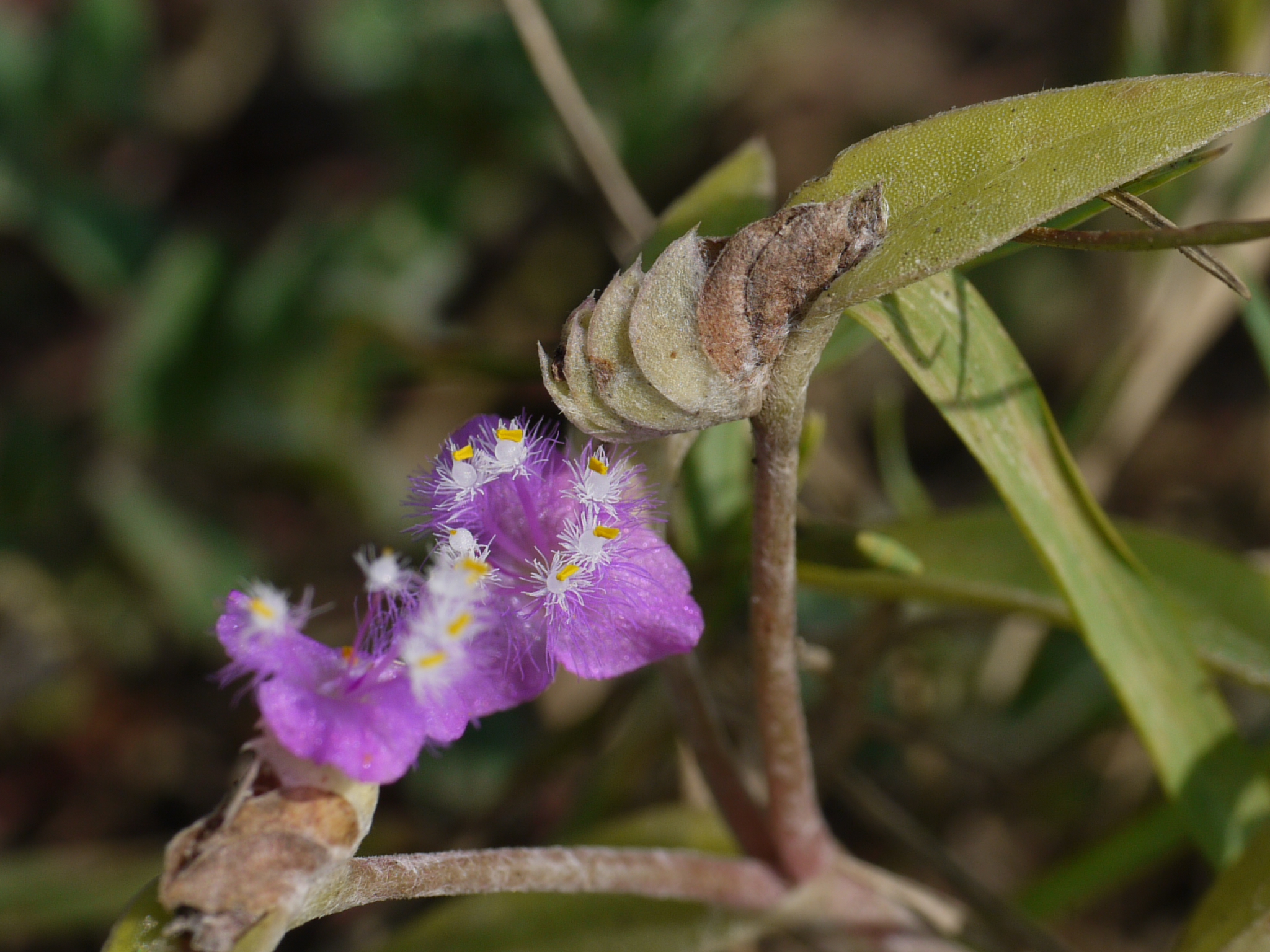
Cyanotis ¿ species ?

Cyanotis ¿ species ?

कणेरी मठ, पेठचा गणपती, जोतिबा, नरसोबाची वाडी, महालक्ष्मी कोल्हापूर.
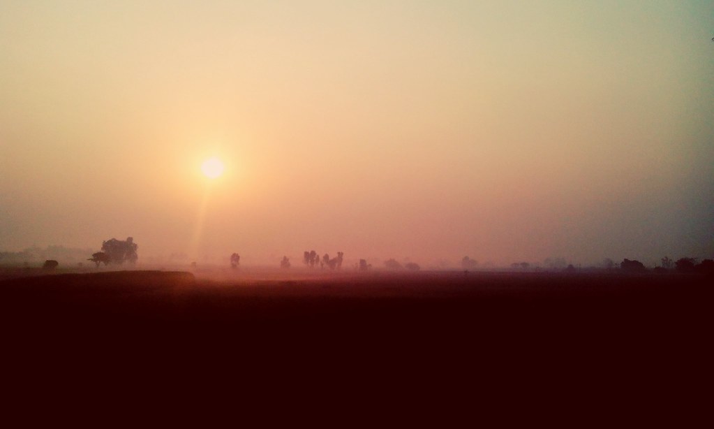
Rather pretty sunrise!

Superb Indian highways.

India: Neha and Her Mom

India Temple Stall

India Temple Stall
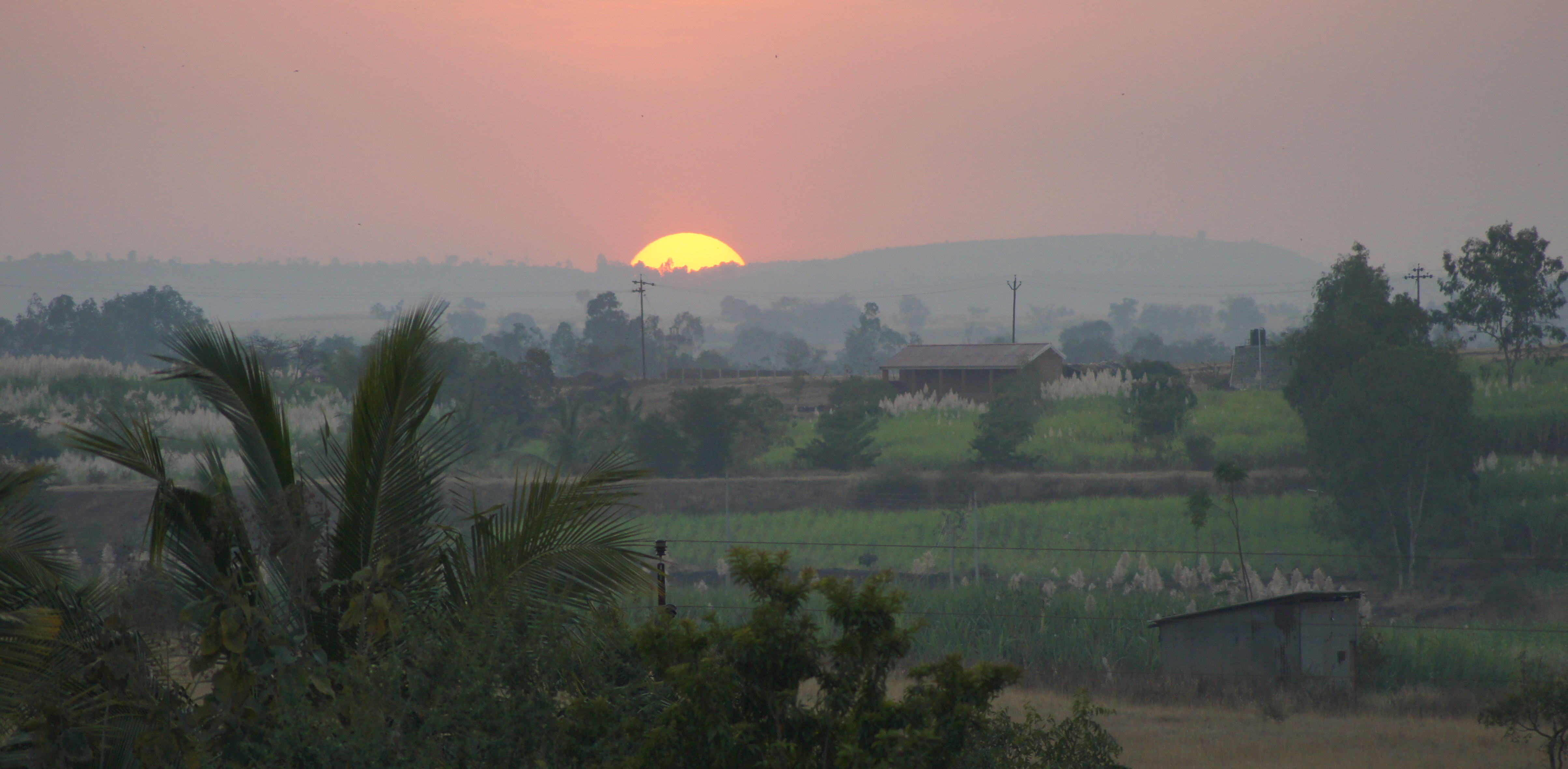
Indian Sunset

Kagal S_T stand

Kolhapur-Panji
Topographic Map of Mhakave, Maharashtra, India
Find elevation by address:

Places near Mhakave, Maharashtra, India:
Appachiwadi
Koulage
Bastawade
Shendur
Malwadi
Kenavade
Sonage Post Office
Hamidwada
Savarde Kh.
Khadakewada
Malage Khurd
S T Stand, Savarde Khurd
Savarde Bk.
Surupali
Lingnoor Kapshi
Sake
Savarde Buduruk
Benikre
Galgale
Pirachiwadi
Recent Searches:
- Elevation of Hobbyhorse Ct, Dover, DE, USA
- Elevation of Horseshoe Ln, Dahlonega, GA, USA
- Elevation of Village Point Dr, Daphne, AL, USA
- Elevation map of Kabardino-Balkarian Republic, Russia
- Elevation of Tyrnyauz, Kabardino-Balkarian Republic, Russia
- Elevation of Sunset Dr, Hernando, MS, USA
- Elevation of Lake Rotoroa, Tasman, New Zealand
- Elevation of George St, New Bern, NC, USA
- Elevation of Cove Rd, Jasper, GA, USA
- Elevation of Cove Rd, Jasper, GA, USA