Elevation of Khadakewada, Maharashtra, India
Location: India > Maharashtra > Kolhapur >
Longitude: 74.3176876
Latitude: 16.4254449
Elevation: 568m / 1864feet
Barometric Pressure: 95KPa
Elevation Map:
Satellite Map:
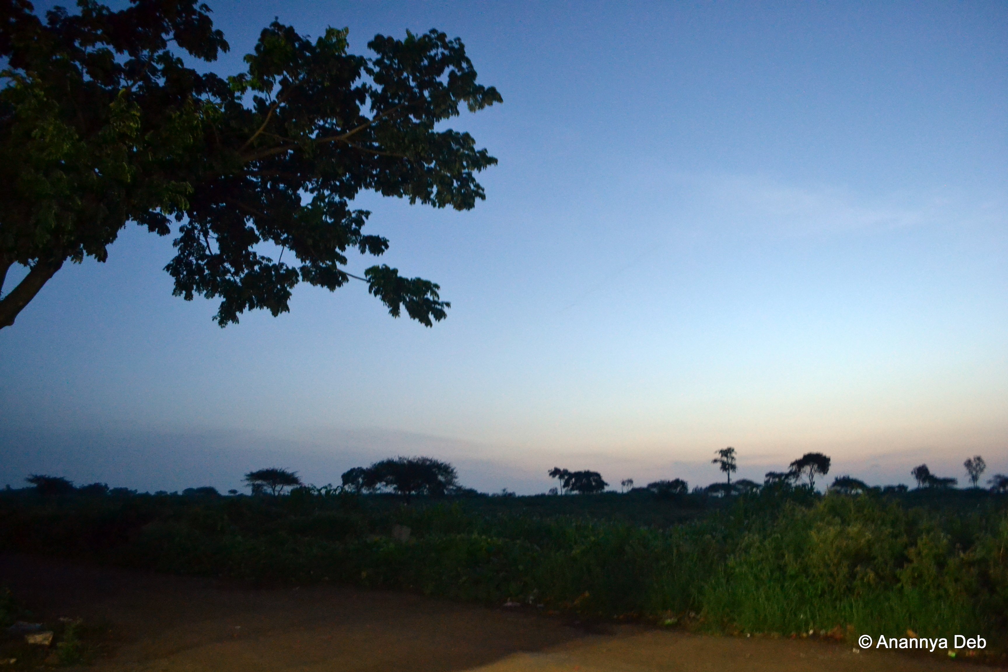
Related Photos:

IMG_2628

#lightening #effect #light #roof #decoration #rooftops #lightforlife #instamoment #hotel #amar #tavandi #ghat #karnataka #india

Superb Indian highways.

Hotel Cook
NH4 turning to Amboli Ghat, September 2012

Driving from Bombay to Goa, September 2012

Making Flat Bread India

Papaya Tree India
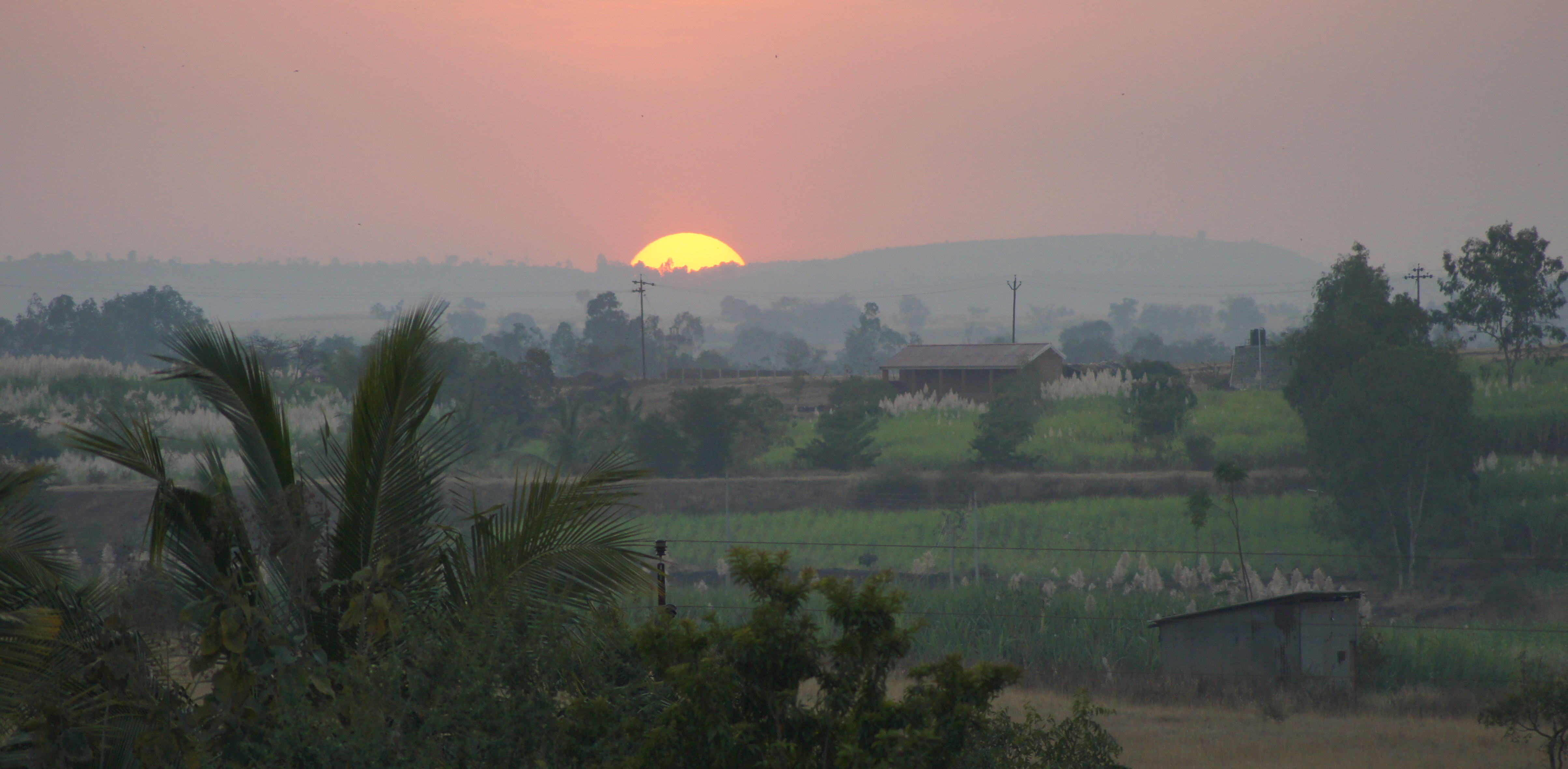
Indian Sunset

Stylosanthes hamata (L.) Taub.

Hamata (Marathi: हमाटा)

Caribbean stylo
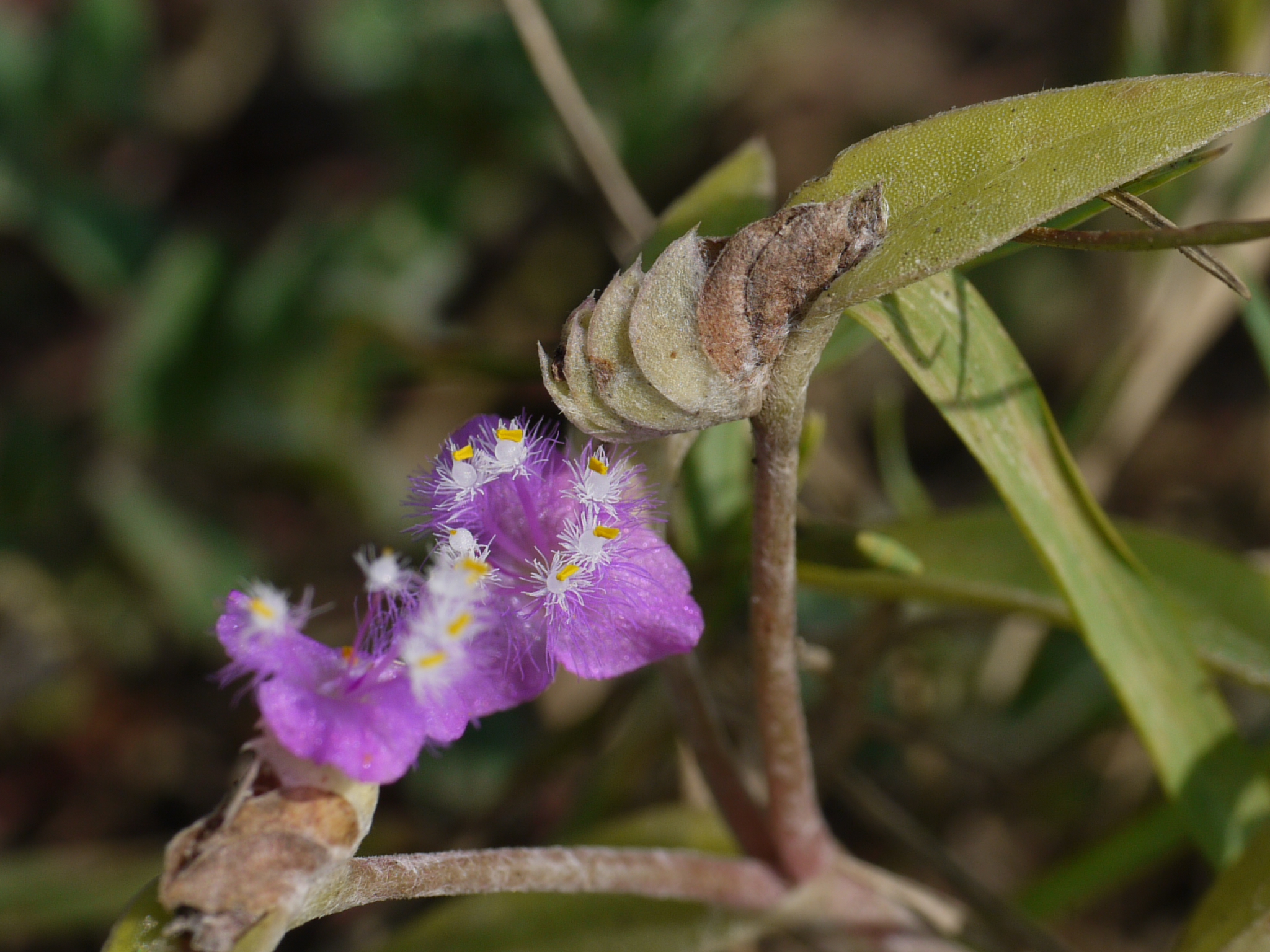
Cyanotis ¿ species ?

Cyanotis ¿ species ?
Topographic Map of Khadakewada, Maharashtra, India
Find elevation by address:

Places near Khadakewada, Maharashtra, India:
Lingnoor Kapshi
Galgale
Hamidwada
Koulage
Bastawade
Arjuni
Sonage Post Office
Appachiwadi
Kardyal
Mhakave
Benikre
Mugali
Haladi
Balikre
Surupali
Malage Khurd
Kenavade
Yamage
Doulatwadi
Savarde Kh.
Recent Searches:
- Elevation of Village Point Dr, Daphne, AL, USA
- Elevation map of Kabardino-Balkarian Republic, Russia
- Elevation of Tyrnyauz, Kabardino-Balkarian Republic, Russia
- Elevation of Sunset Dr, Hernando, MS, USA
- Elevation of Lake Rotoroa, Tasman, New Zealand
- Elevation of George St, New Bern, NC, USA
- Elevation of Cove Rd, Jasper, GA, USA
- Elevation of Cove Rd, Jasper, GA, USA
- Elevation of South Yankee Meadow Road, Forest Road, Paragonah, UT, USA
- Elevation of SW Elderview Dr, Sherwood, OR, USA