Elevation of Sevastopol, Franklin Township, IN, USA
Location: United States > Indiana > Kosciusko County > Clay Township > Claypool >
Longitude: -86.018884
Latitude: 41.1292104
Elevation: 268m / 879feet
Barometric Pressure: 98KPa
Elevation Map:
Satellite Map:
Related Photos:
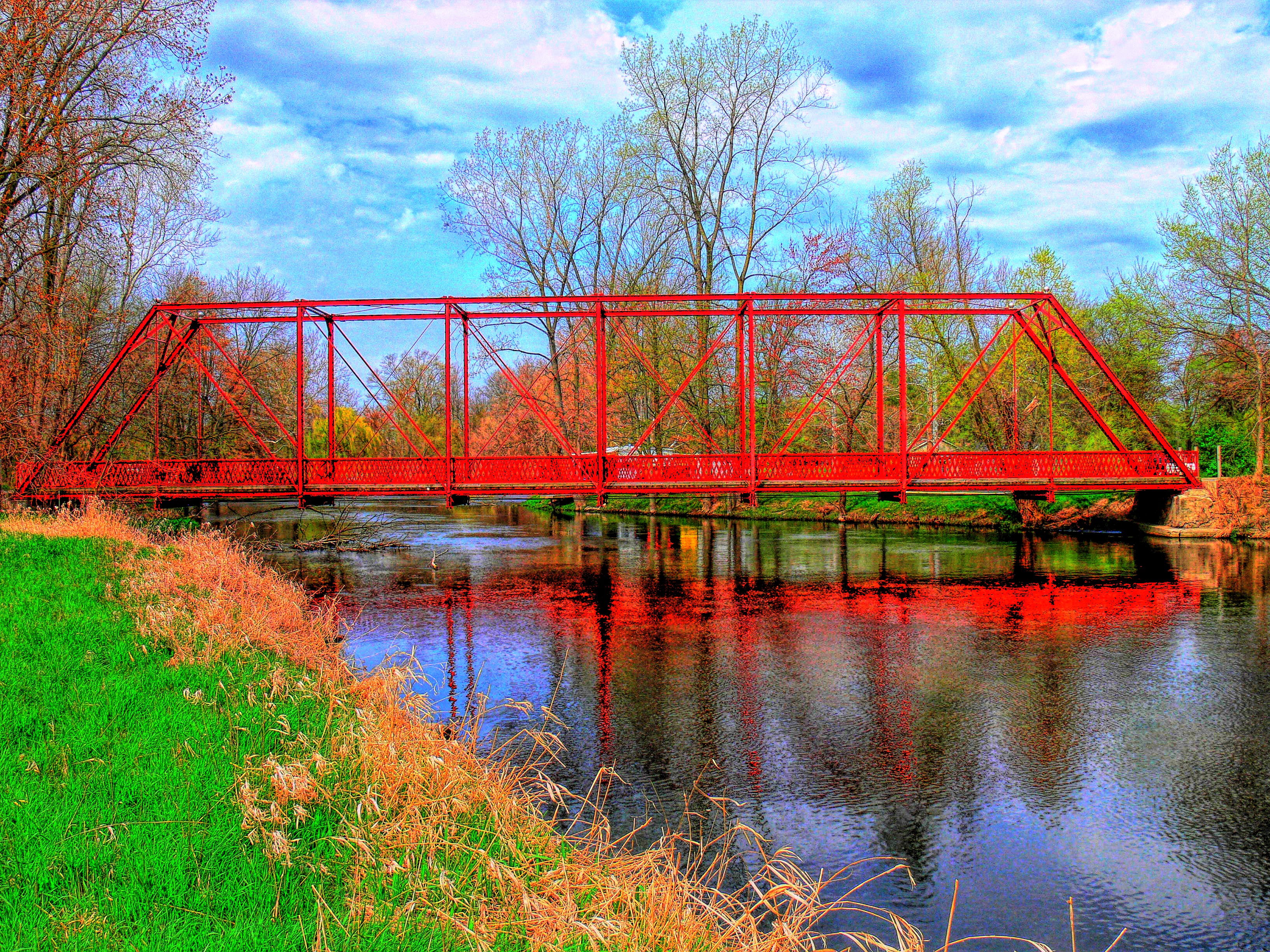
Chinworth HDR (Side view)
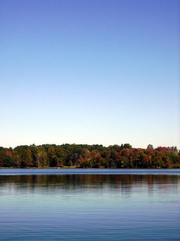
Carr Lake "Tall View"

Position light lamp

Large Damselfly
View from Sons backyard
Silver Lake Indiana, Kosciusko County IN

Picking lima beans with dad
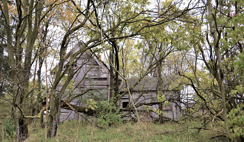
Indiana Homestead on it's final days
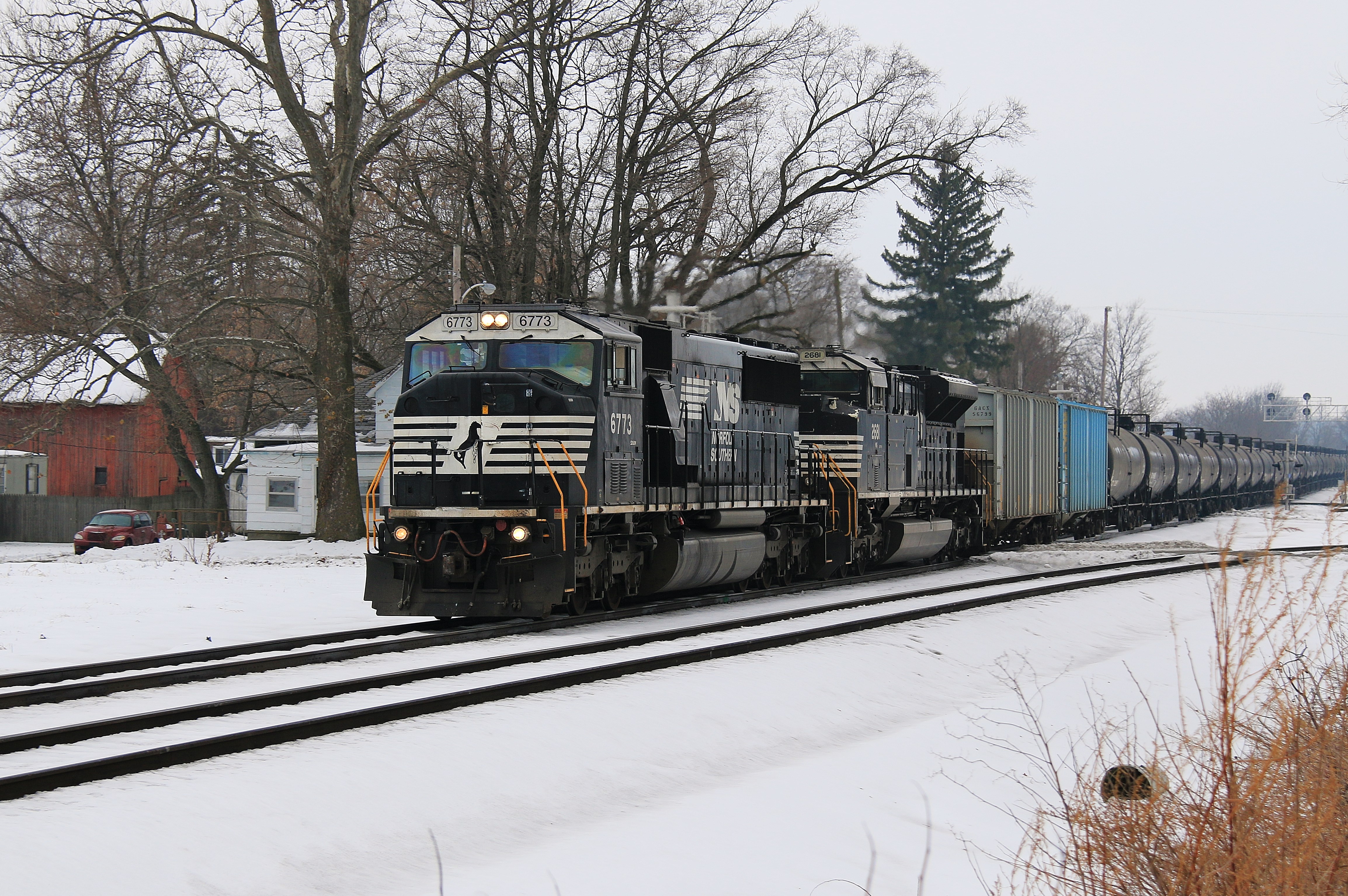
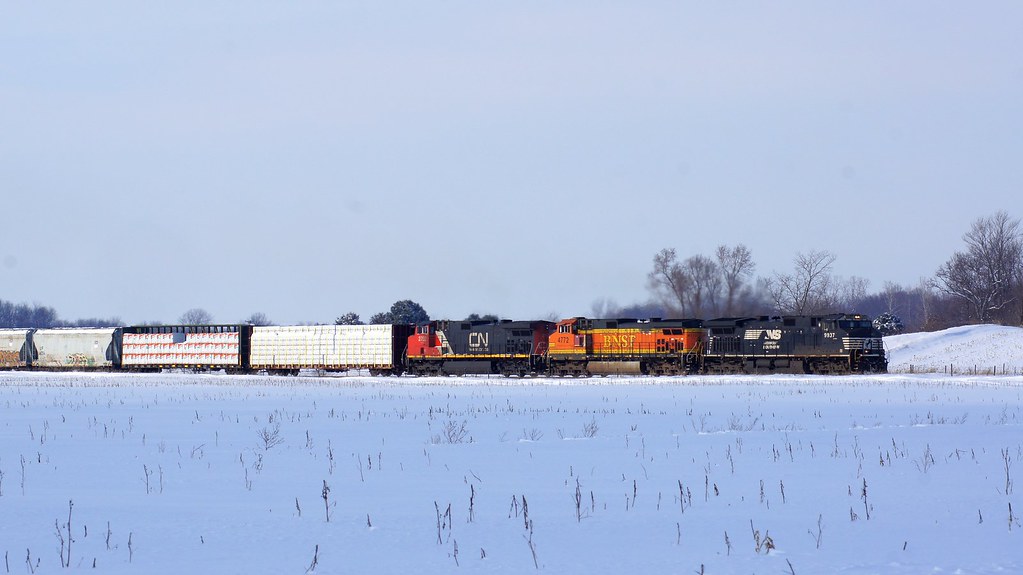
Another Ethanol Load
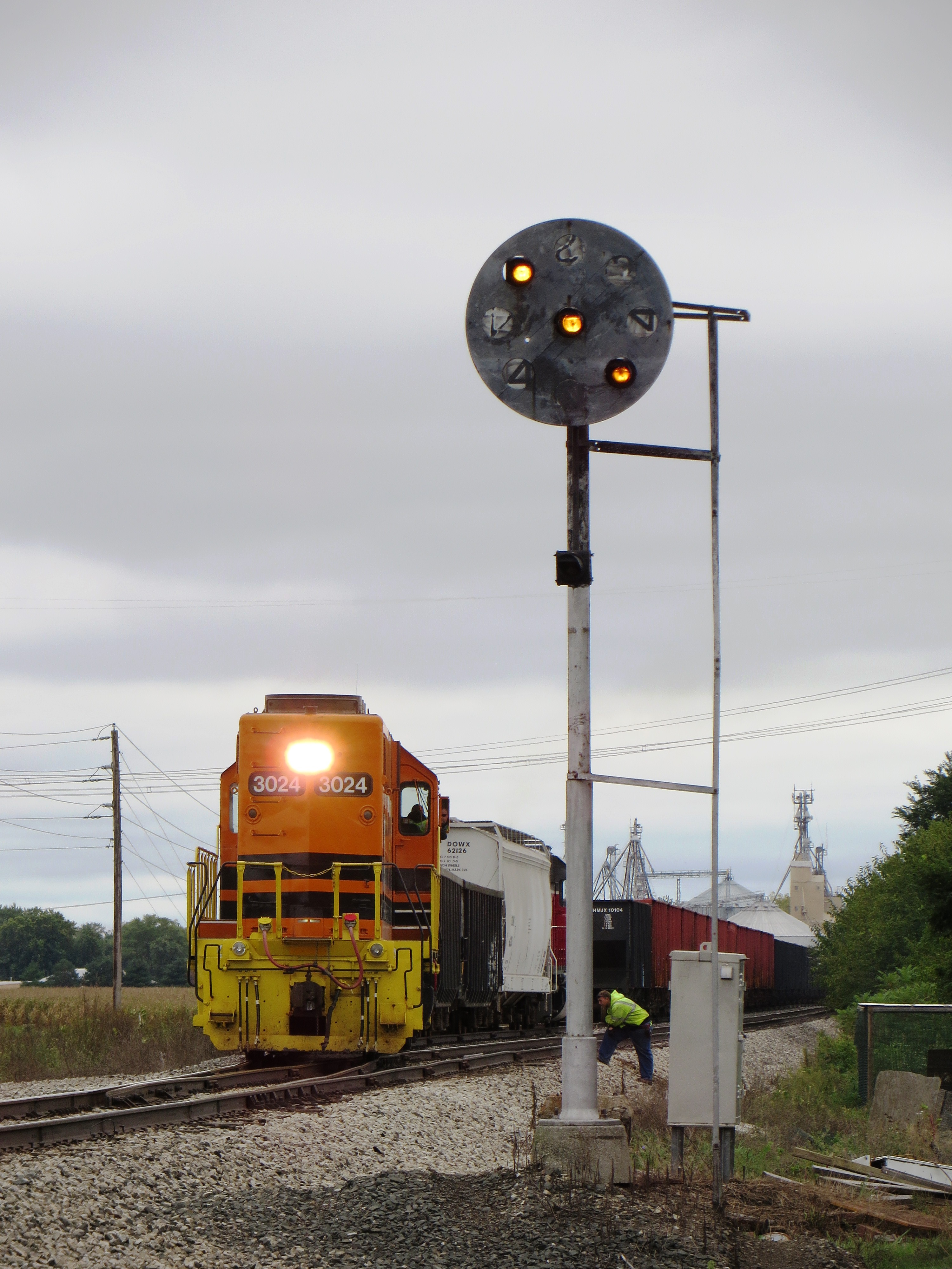
CF&E at siding Shelby west of Warsaw Indiana
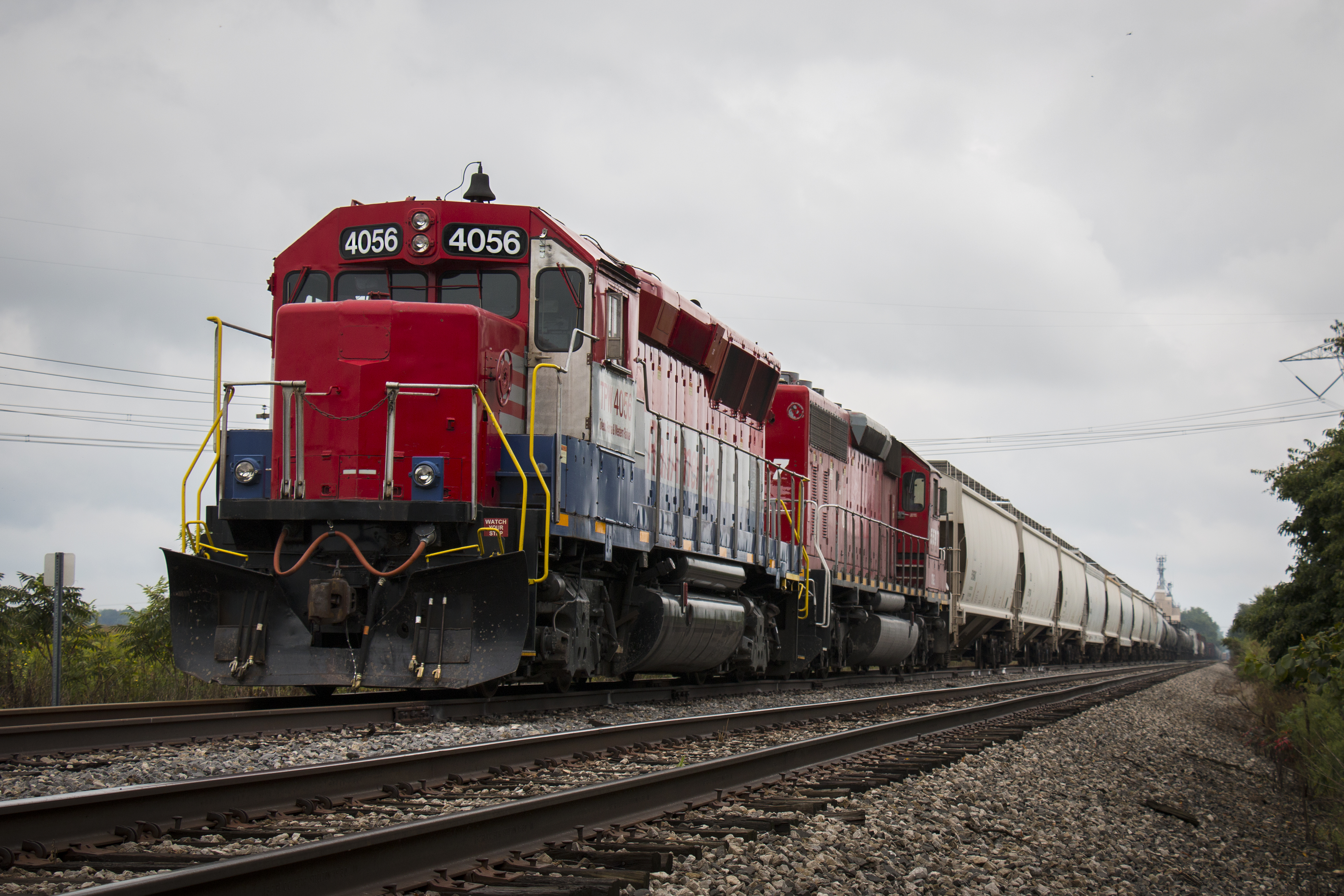
The CF&E
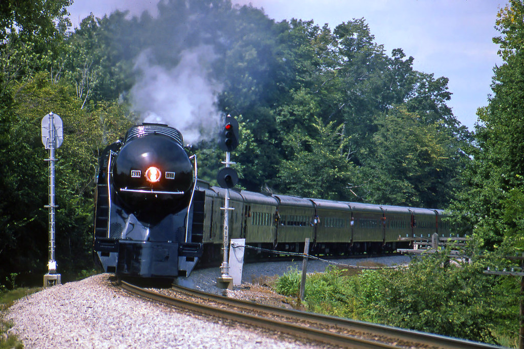
N&W 611 East, Mentone, IN

Fourth of July 2008
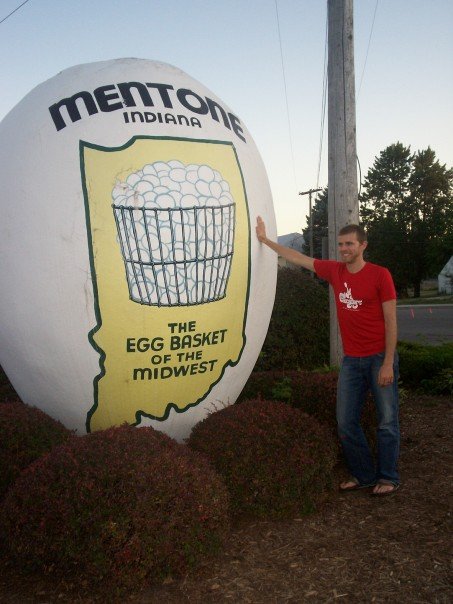
Egg (Mentone, IN)
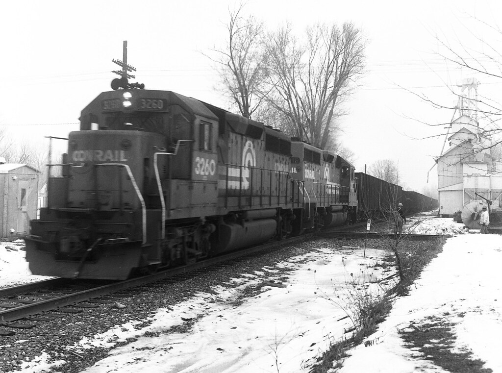
Conrail #3260 Claypool, Indiana
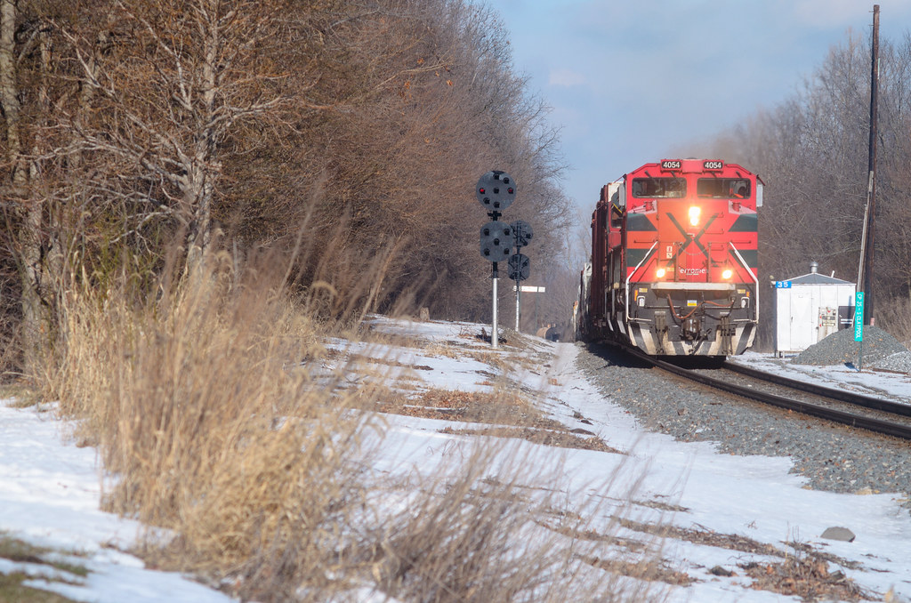
NS 324 - Mentone
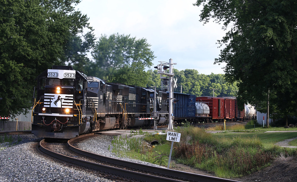
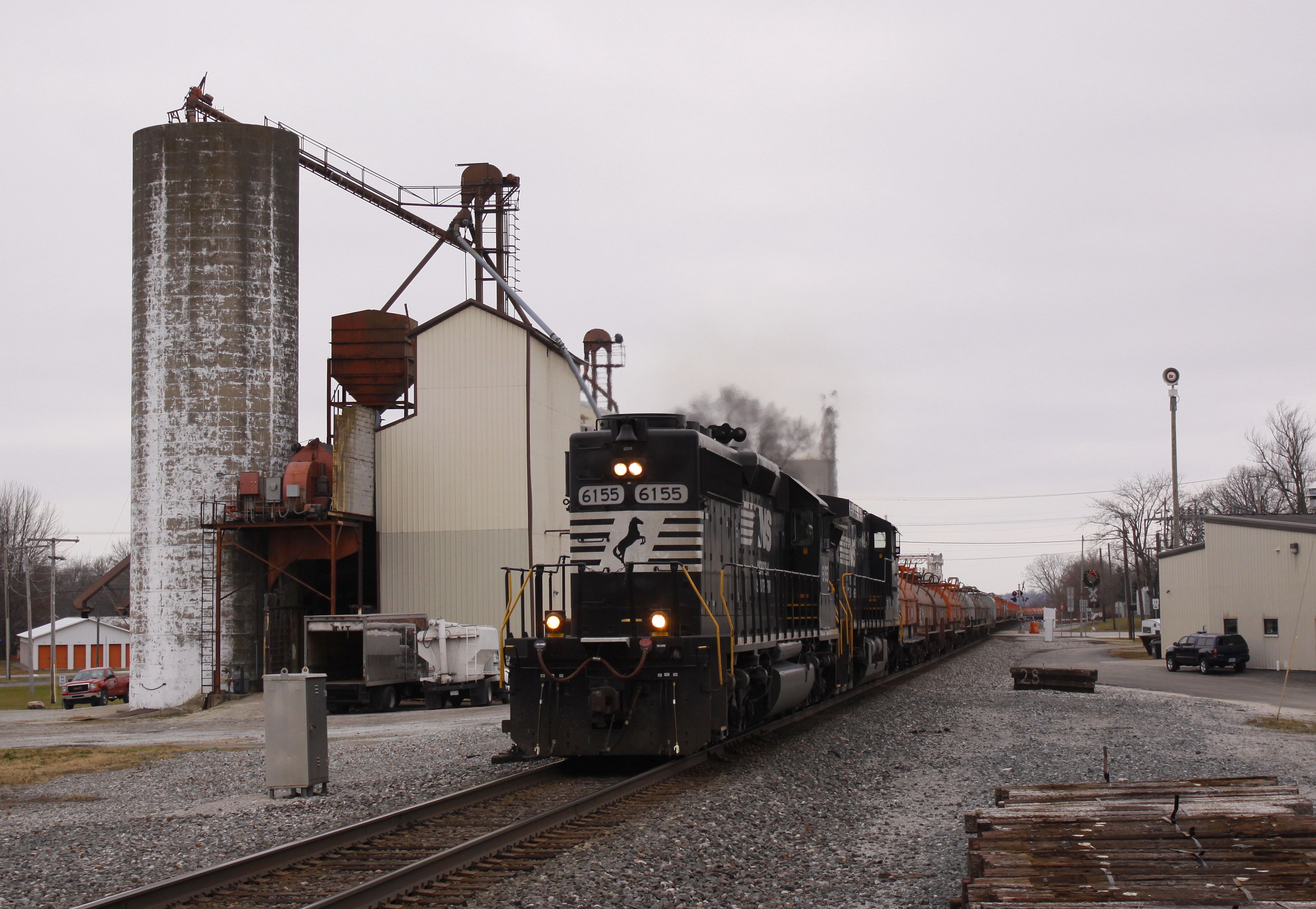
NS #3523 Claypool, Indiana
Que?
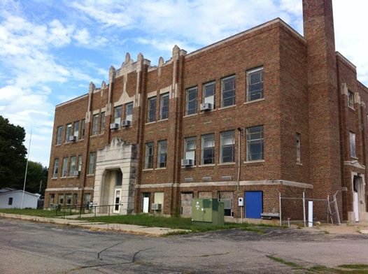
Silver Lake, Indiana School
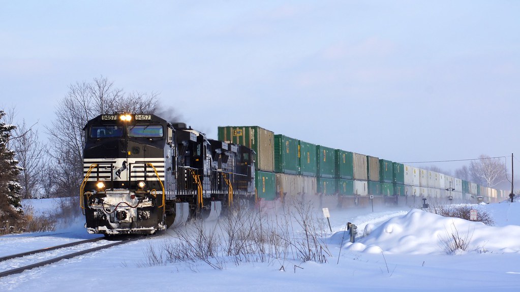
Winters grip
Burkett Indiana
Topographic Map of Sevastopol, Franklin Township, IN, USA
Find elevation by address:

Places near Sevastopol, Franklin Township, IN, USA:
Franklin Township
8345 State Rte 19
W S, Akron, IN, USA
W Sr 14, Akron, IN, USA
7589 W Swick Rd
Seward Township
Akron
Henry Township
61 S E, Rochester, IN, USA
S Main St, Claypool, IN, USA
Claypool
E Main St, Silver Lake, IN, USA
Silver Lake
Lake Township
Pleasant Township
S Packerton Rd, Claypool, IN, USA
Laketon
40 N Main St, Laketon, IN, USA
21 W Geary St, North Manchester, IN, USA
Recent Searches:
- Elevation of Sadovaya Ulitsa, 20, Rezh, Sverdlovskaya oblast', Russia
- Elevation of Ulitsa Kalinina, 79, Rezh, Sverdlovskaya oblast', Russia
- Elevation of 72-31 Metropolitan Ave, Middle Village, NY, USA
- Elevation of 76 Metropolitan Ave, Brooklyn, NY, USA
- Elevation of Alisal Rd, Solvang, CA, USA
- Elevation of Vista Blvd, Sparks, NV, USA
- Elevation of 15th Ave SE, St. Petersburg, FL, USA
- Elevation of Beall Road, Beall Rd, Florida, USA
- Elevation of Leguwa, Nepal
- Elevation of County Rd, Enterprise, AL, USA