Elevation of S Packerton Rd, Claypool, IN, USA
Location: United States > Indiana > Kosciusko County > Clay Township > Claypool >
Longitude: -85.797987
Latitude: 41.11647
Elevation: 279m / 915feet
Barometric Pressure: 98KPa
Elevation Map:
Satellite Map:
Related Photos:
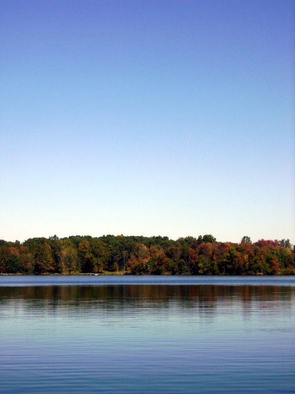
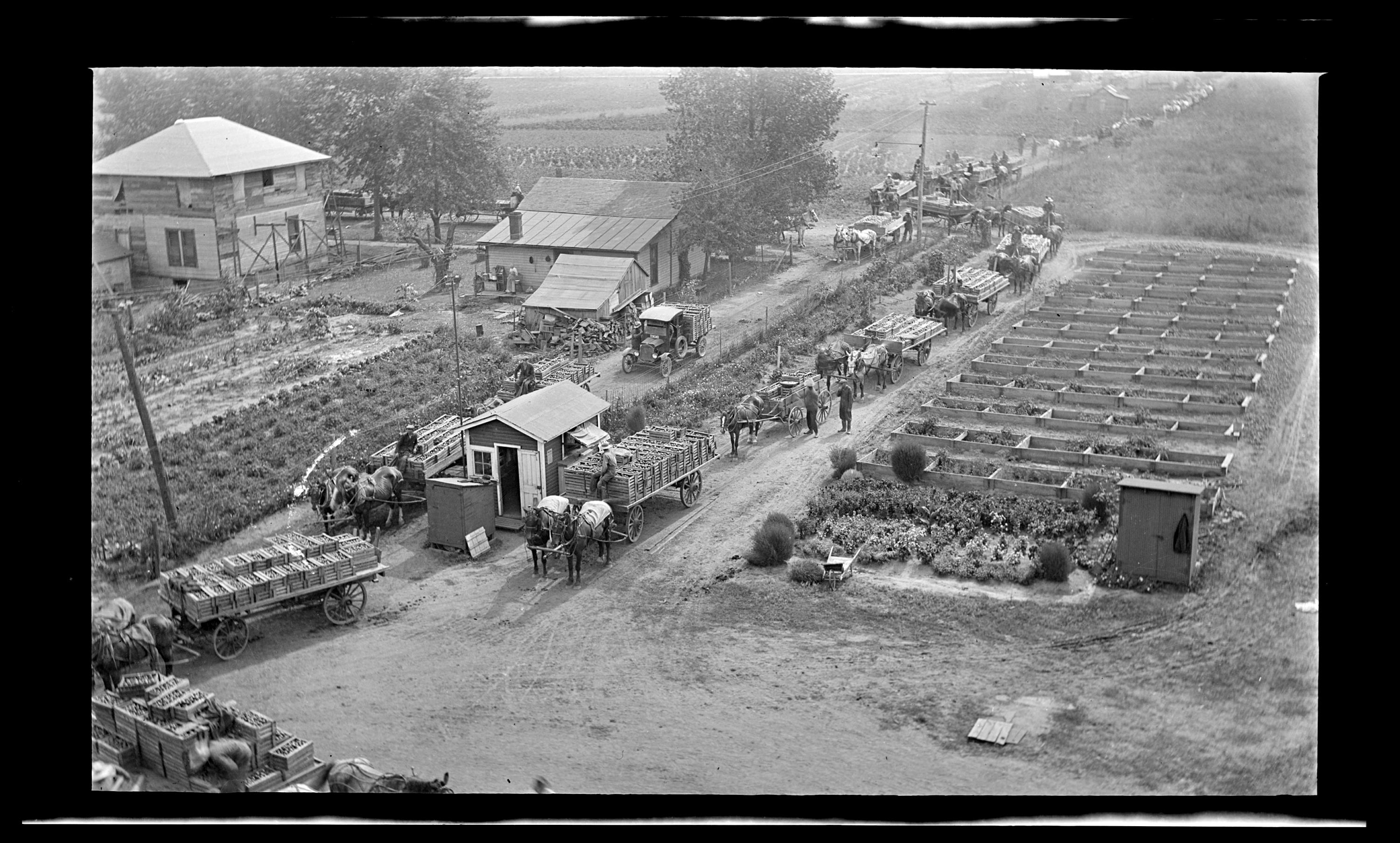
Carr Lake "Tall View"

View from the trainer #lonelierthangodracing

Manchester High School Gym

Position light lamp

Winona Lake, IN
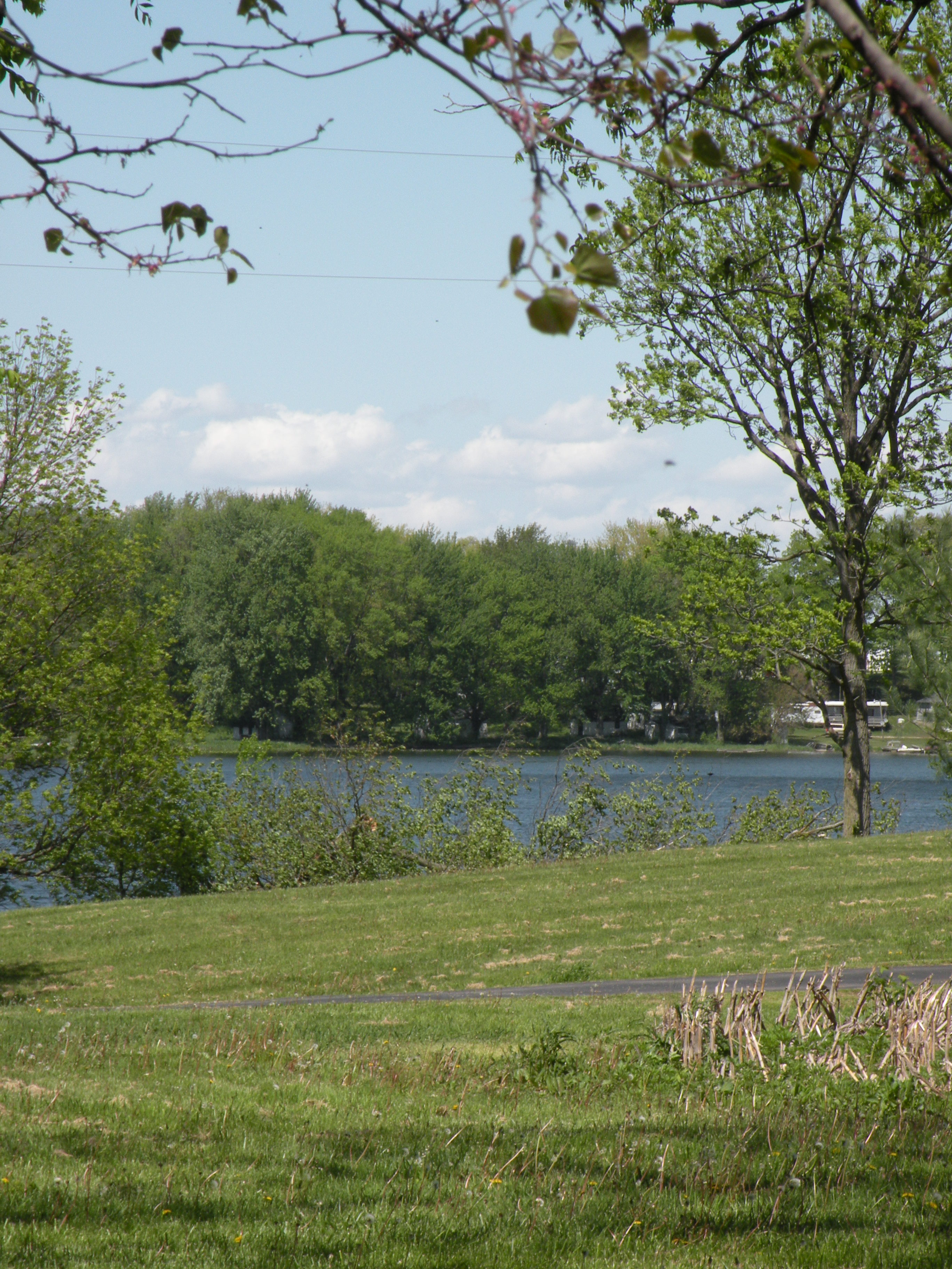
View from Sons backyard

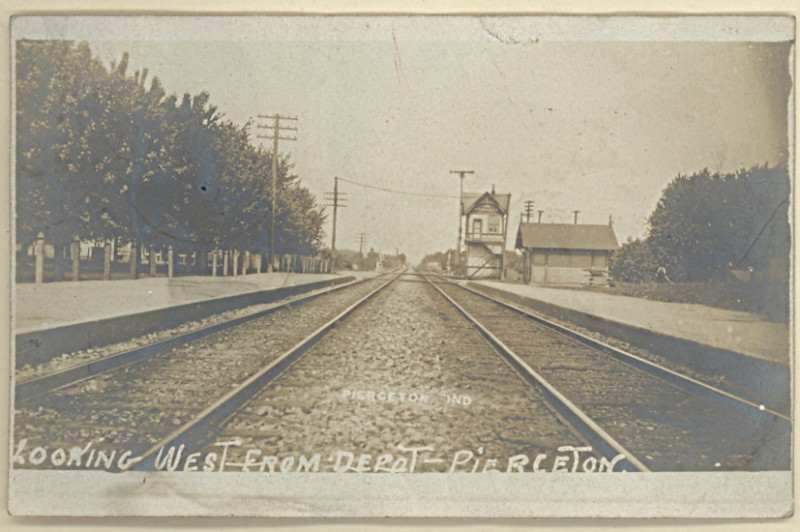
View looking west from Pierceton Depot
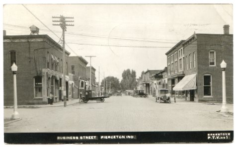
Pierceton Postcard, c. 1925
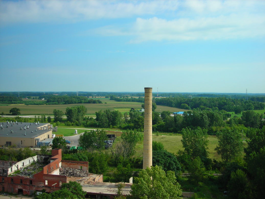
View from Pierceton Water Tower
PPL-003-804e_300
Pierceton Railroad tracks, c. 1915
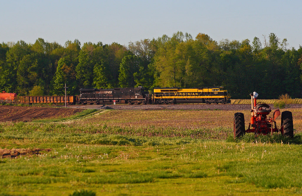
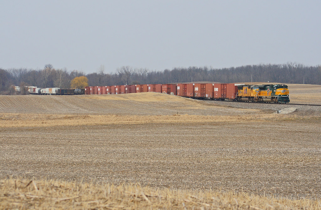
NS 1069 West - Claypool

white trees 2

Brown Dragonfly

another storm
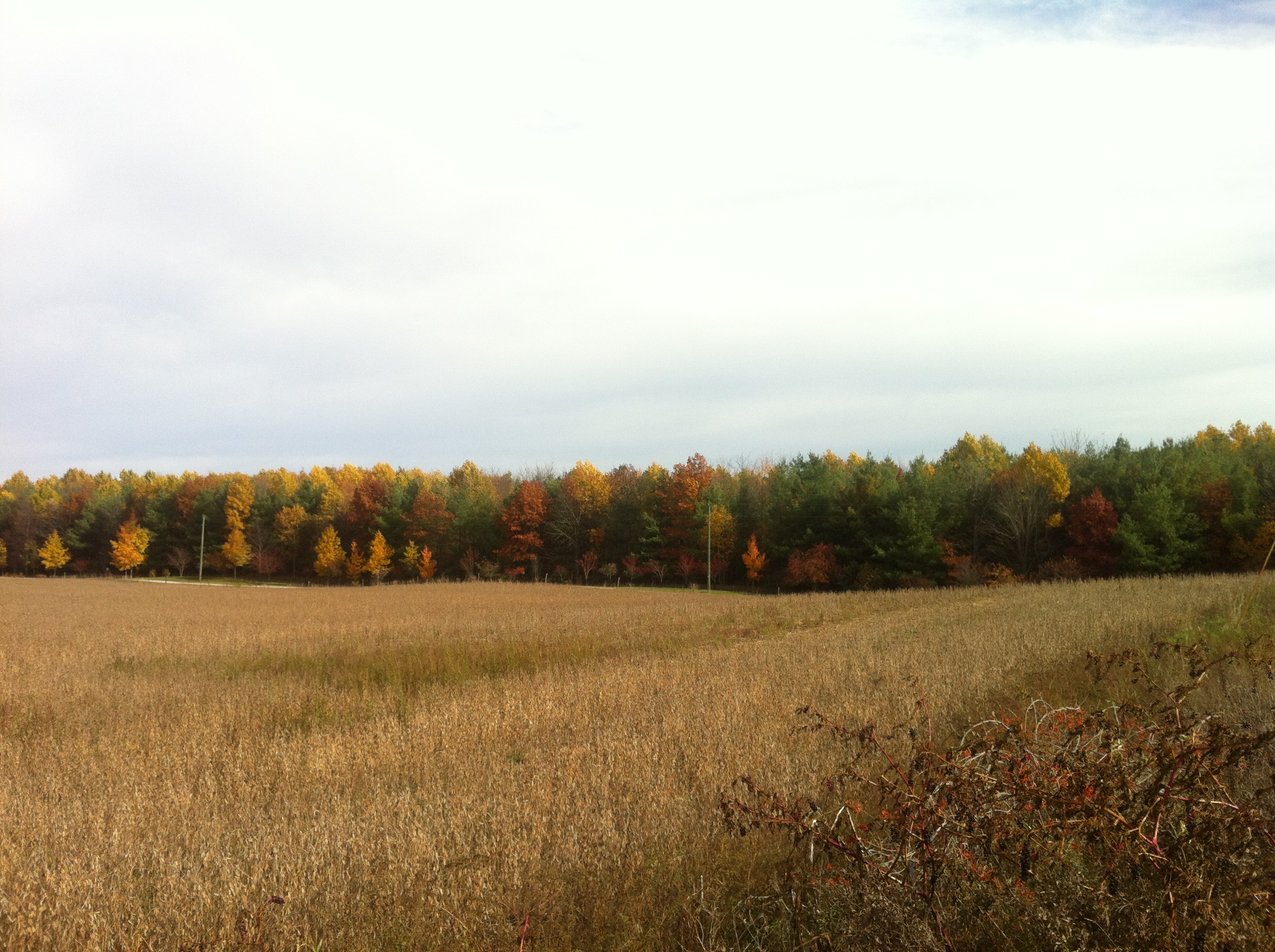
Indiana Countryside

NS 365 - Packerton

Morning Fishing
Hill & Dale
Knock me Down B/W
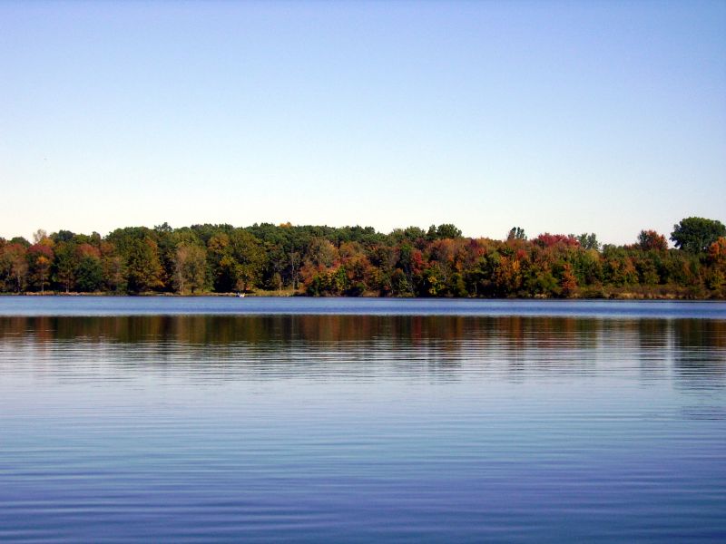
Carr Lake Leaves
Iphone pics 979
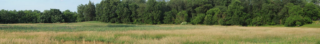
Panoramic - Indiana Field
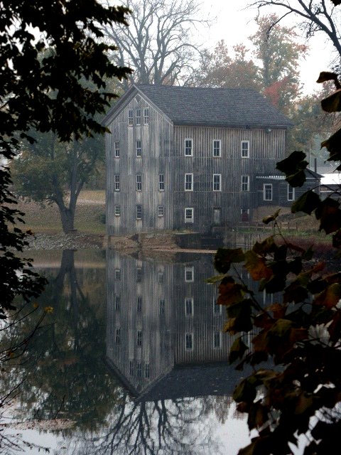
Grist Mill

Wild Daisy's

Nocturnal adventure race: trail runner
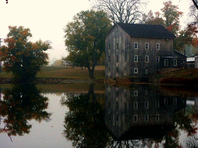
Ole Grist Mill

Wild Flowers
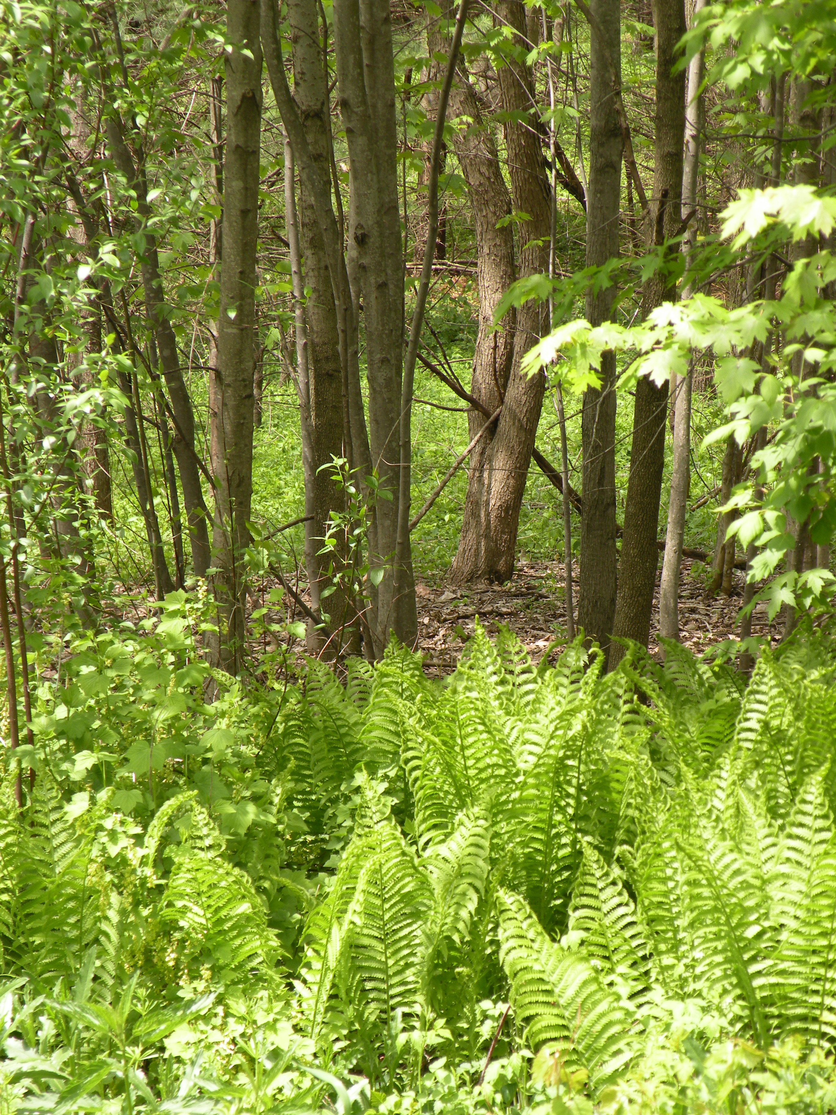
woods behind our house
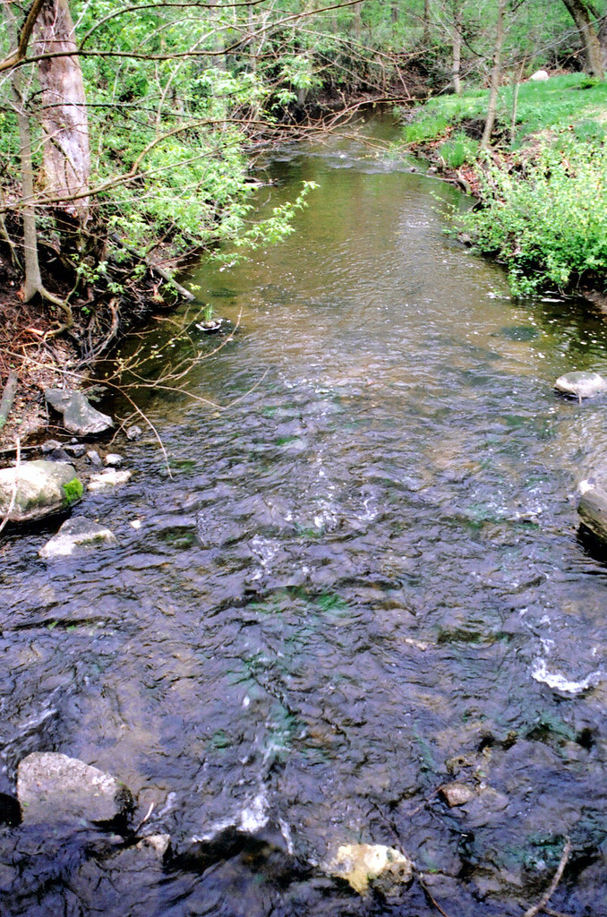
claypool creek2

Today I worked from before sunrise straight through to sunset. Fourteen hours. So there's that.

8-8-08
Topographic Map of S Packerton Rd, Claypool, IN, USA
Find elevation by address:

Places near S Packerton Rd, Claypool, IN, USA:
Claypool
S Main St, Claypool, IN, USA
Lake Township
Silver Lake
E Main St, Silver Lake, IN, USA
Laketon
40 N Main St, Laketon, IN, USA
Pleasant Township
Seward Township
21 W Geary St, North Manchester, IN, USA
7589 W Swick Rd
W S, Akron, IN, USA
Sevastopol
W Sr 14, Akron, IN, USA
Franklin Township
Akron
8345 State Rte 19
Henry Township
61 S E, Rochester, IN, USA
Recent Searches:
- Elevation of Sadovaya Ulitsa, 20, Rezh, Sverdlovskaya oblast', Russia
- Elevation of Ulitsa Kalinina, 79, Rezh, Sverdlovskaya oblast', Russia
- Elevation of 72-31 Metropolitan Ave, Middle Village, NY, USA
- Elevation of 76 Metropolitan Ave, Brooklyn, NY, USA
- Elevation of Alisal Rd, Solvang, CA, USA
- Elevation of Vista Blvd, Sparks, NV, USA
- Elevation of 15th Ave SE, St. Petersburg, FL, USA
- Elevation of Beall Road, Beall Rd, Florida, USA
- Elevation of Leguwa, Nepal
- Elevation of County Rd, Enterprise, AL, USA