Elevation of E Main St, Silver Lake, IN, USA
Location: United States > Indiana > Kosciusko County > Lake Township > Silver Lake >
Longitude: -85.891711
Latitude: 41.072254
Elevation: 276m / 906feet
Barometric Pressure: 98KPa
Elevation Map:
Satellite Map:
Related Photos:
Carr Lake "Tall View"

View from the trainer #lonelierthangodracing

Manchester High School Gym

Position light lamp
View from Sons backyard
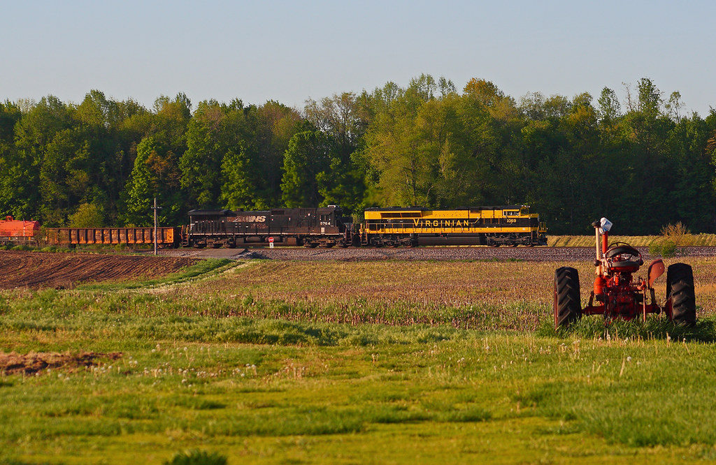
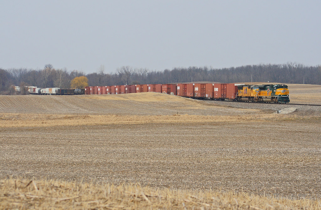
NS 1069 West - Claypool

white trees 2

8-8-08

8-8-08

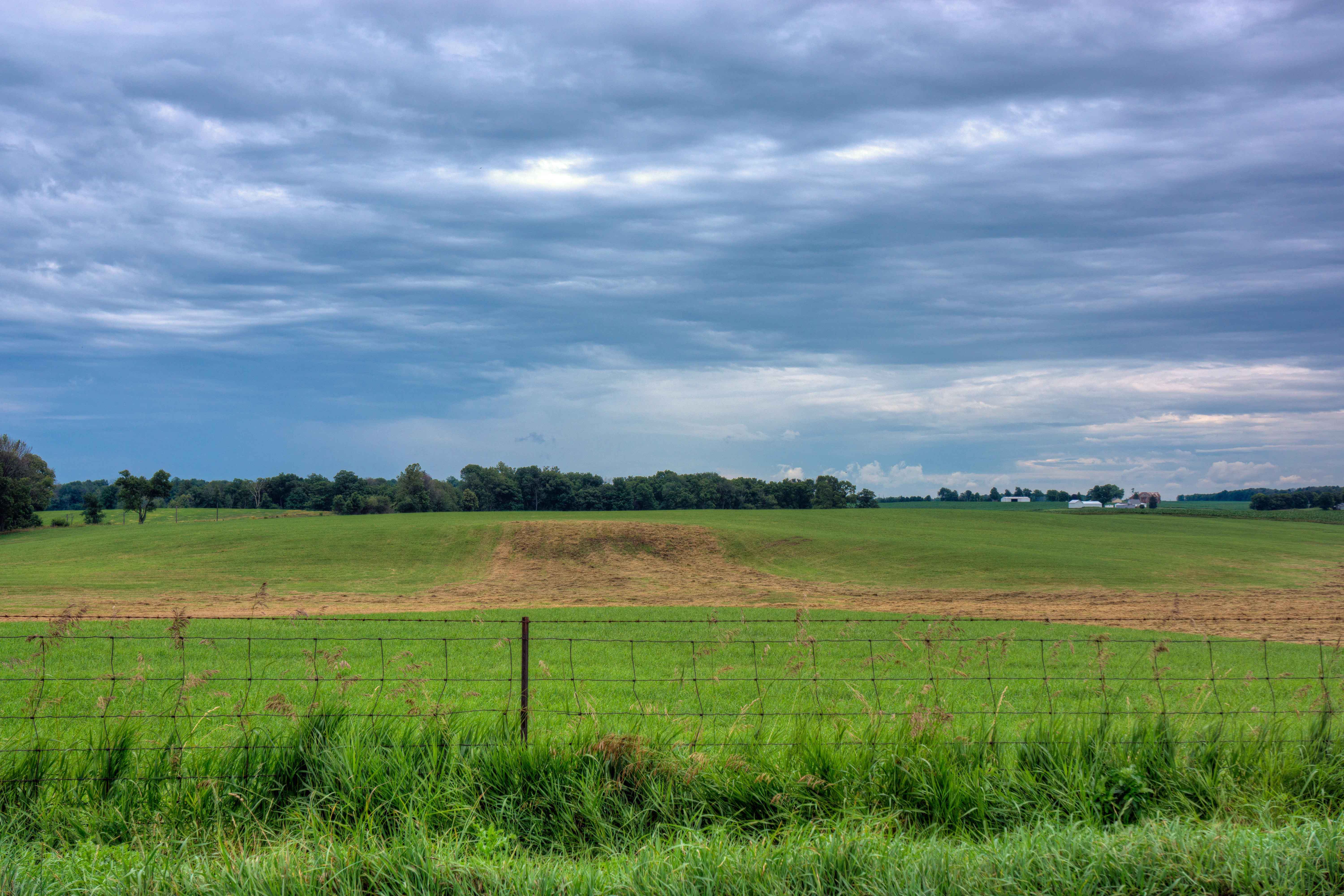
another storm
Indiana Countryside

NS 365 - Packerton

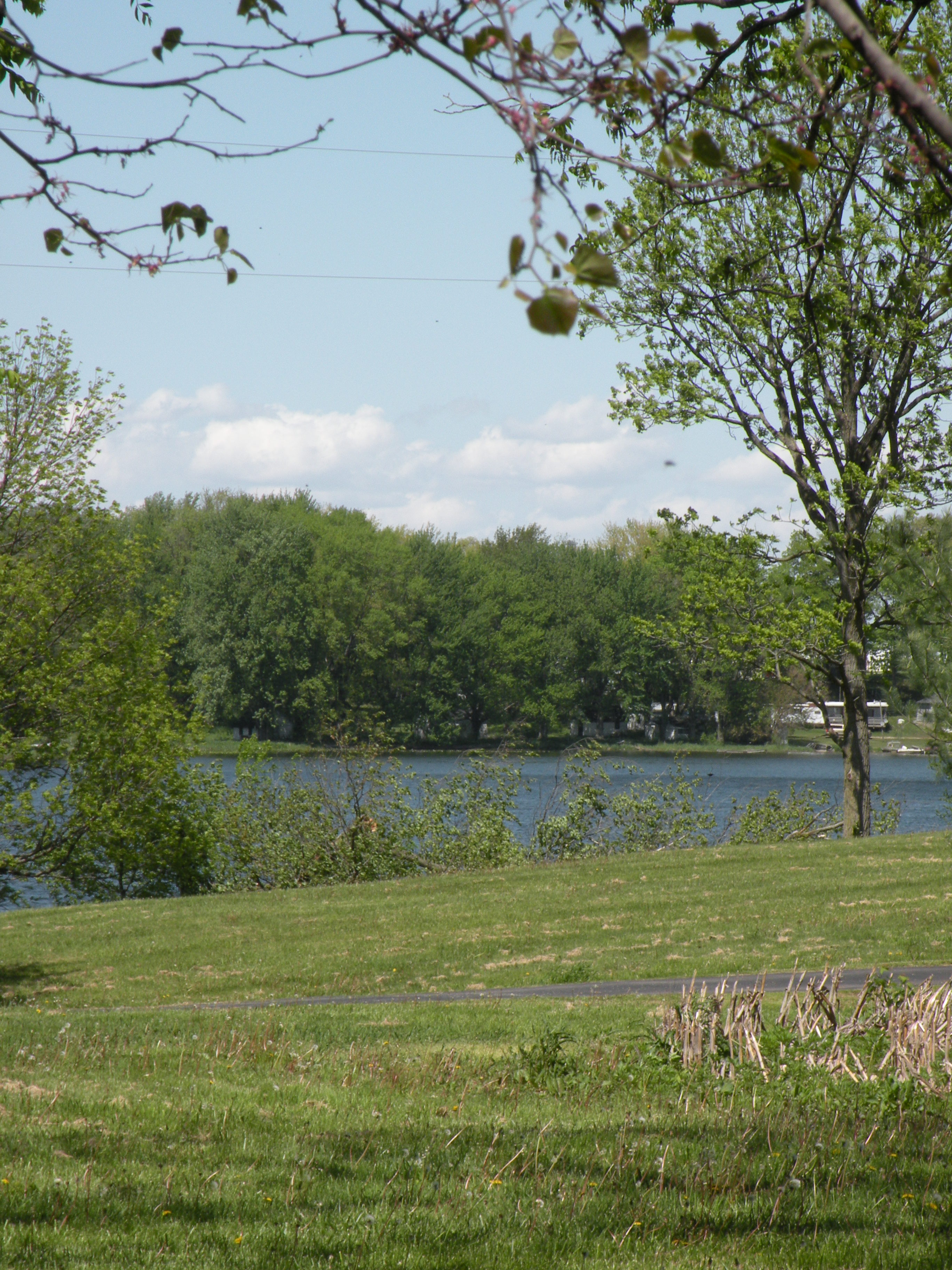
Morning Fishing
Hill & Dale
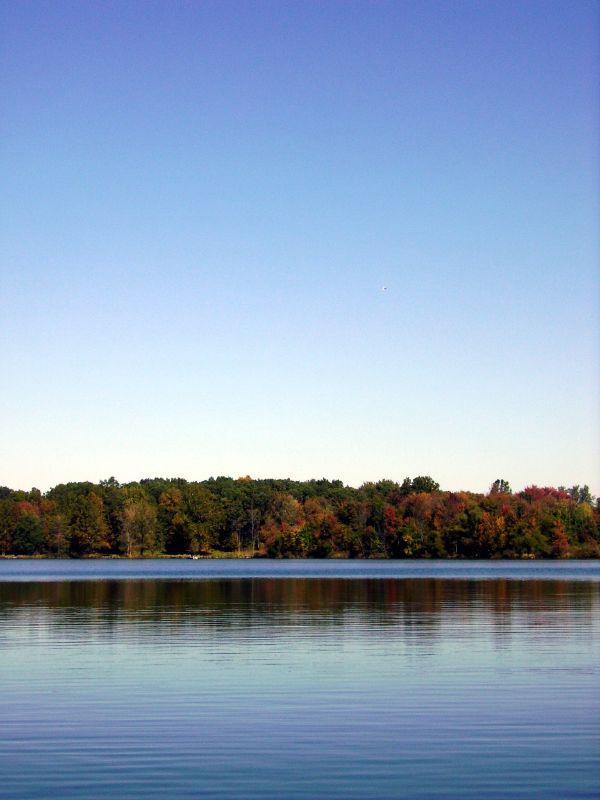
Carr Lake Leaves
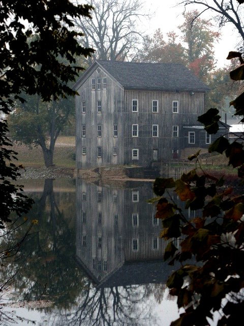
Grist Mill
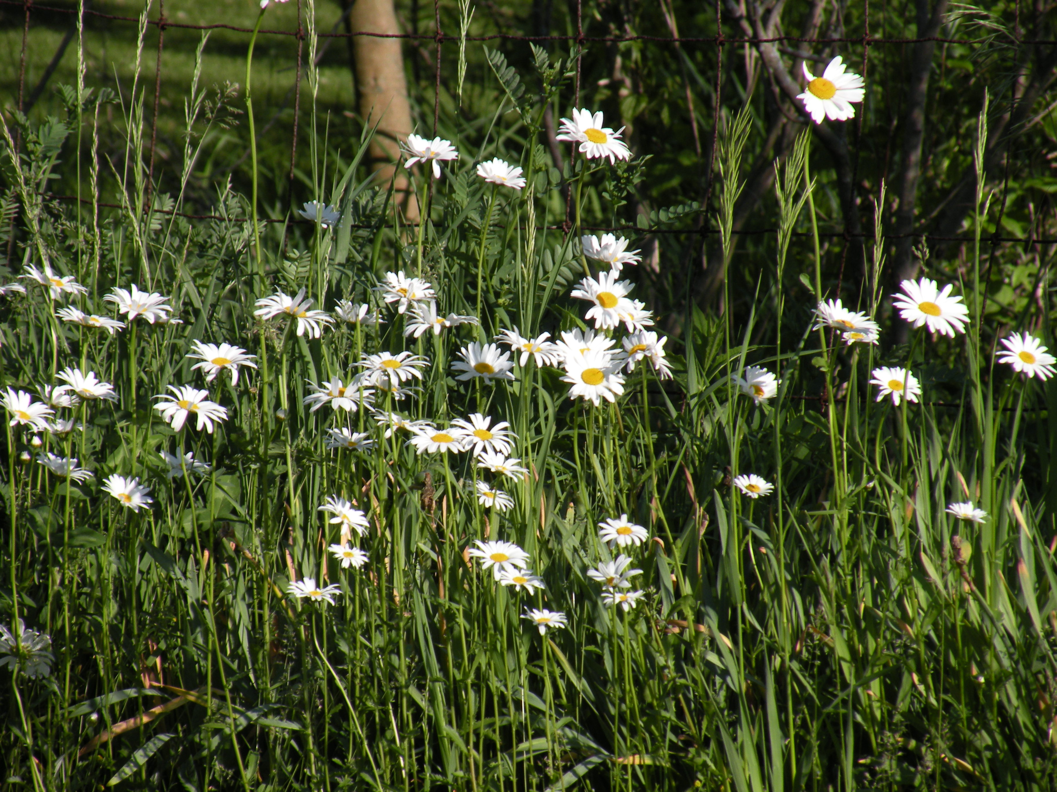
Wild Daisy's

Ole Grist Mill
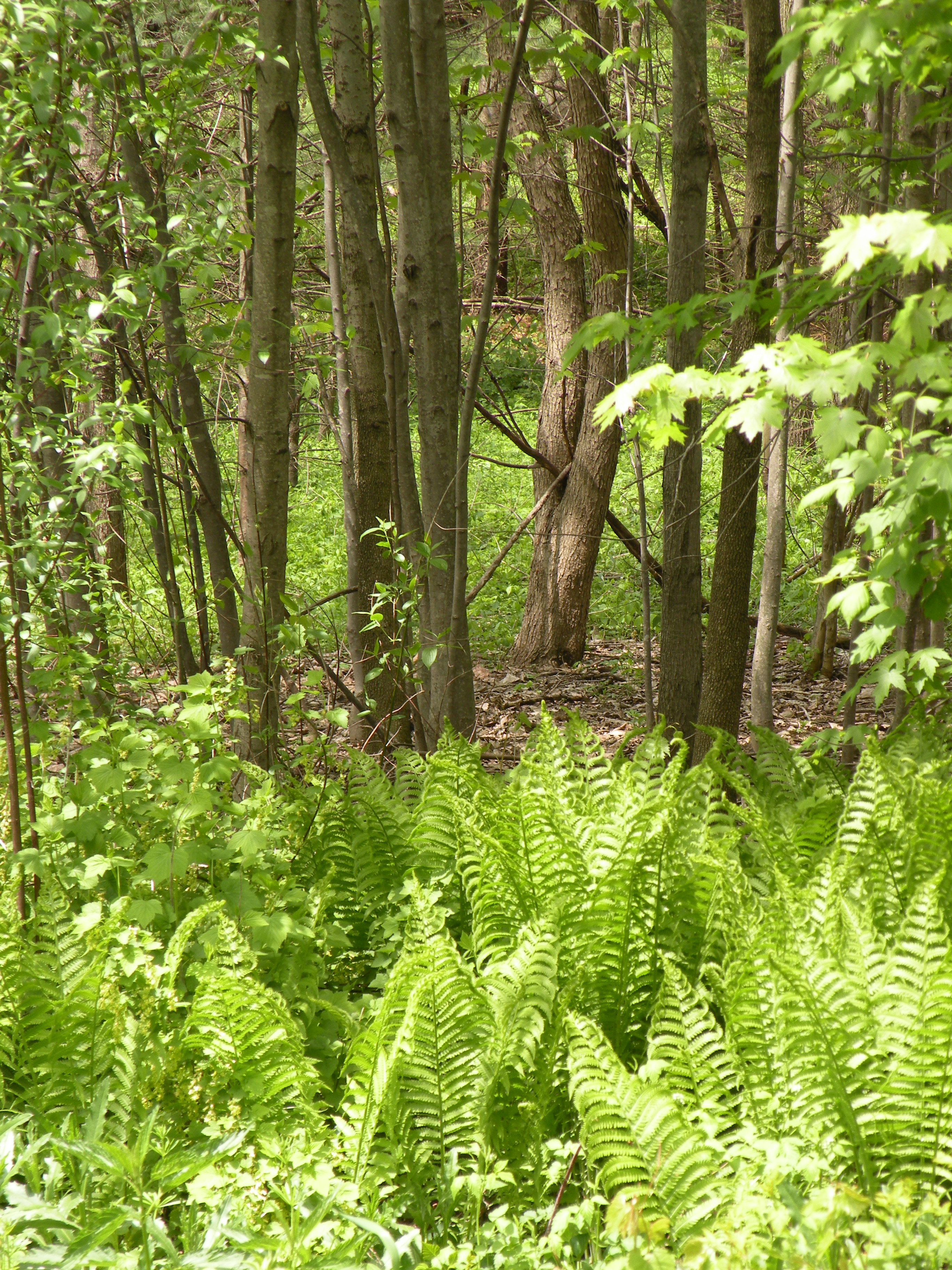
woods behind our house
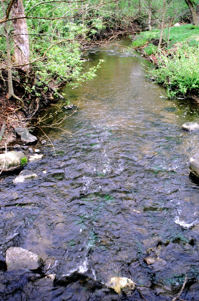
claypool creek2

Grist Mill 2

Abe Lincoln
claypool creek3

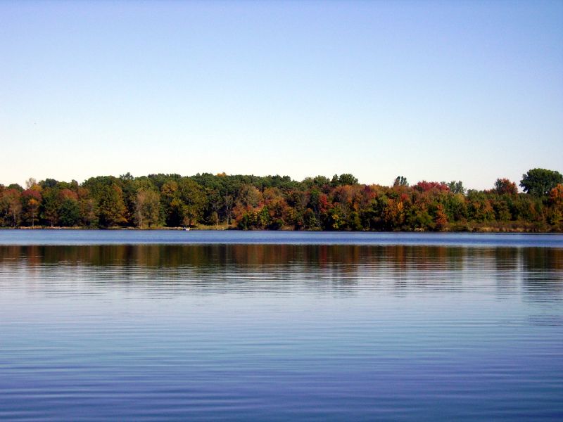
Autumn Sunrise on Yellow Creek Lake
Erie Signal

By this point I was starting to feel like an extra on the Telletubbies set
Topographic Map of E Main St, Silver Lake, IN, USA
Find elevation by address:

Places near E Main St, Silver Lake, IN, USA:
Silver Lake
Lake Township
S Main St, Claypool, IN, USA
Claypool
Seward Township
7589 W Swick Rd
Pleasant Township
S Packerton Rd, Claypool, IN, USA
Laketon
40 N Main St, Laketon, IN, USA
W S, Akron, IN, USA
W Sr 14, Akron, IN, USA
21 W Geary St, North Manchester, IN, USA
Sevastopol
Akron
Franklin Township
8345 State Rte 19
Henry Township
61 S E, Rochester, IN, USA
Recent Searches:
- Elevation of Redondo Ave, Long Beach, CA, USA
- Elevation of Sadovaya Ulitsa, 20, Rezh, Sverdlovskaya oblast', Russia
- Elevation of Ulitsa Kalinina, 79, Rezh, Sverdlovskaya oblast', Russia
- Elevation of 72-31 Metropolitan Ave, Middle Village, NY, USA
- Elevation of 76 Metropolitan Ave, Brooklyn, NY, USA
- Elevation of Alisal Rd, Solvang, CA, USA
- Elevation of Vista Blvd, Sparks, NV, USA
- Elevation of 15th Ave SE, St. Petersburg, FL, USA
- Elevation of Beall Road, Beall Rd, Florida, USA
- Elevation of Leguwa, Nepal