Elevation of Claypool, IN, USA
Location: United States > Indiana > Kosciusko County > Clay Township >
Longitude: -85.880546
Latitude: 41.129211
Elevation: 271m / 889feet
Barometric Pressure: 98KPa
Elevation Map:
Satellite Map:
Related Photos:
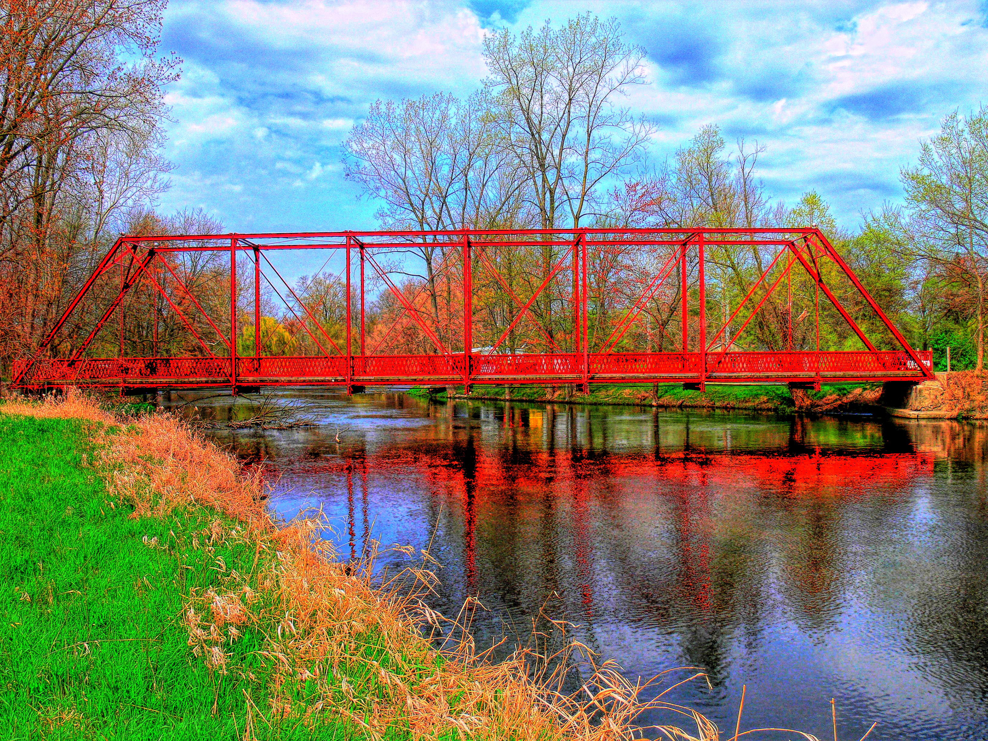
Chinworth HDR (Side view)
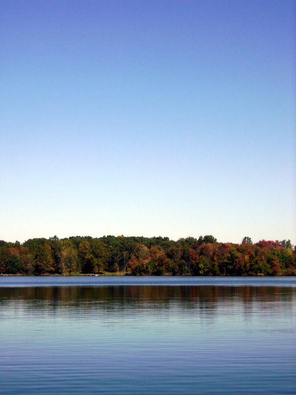
Carr Lake "Tall View"

View from the trainer #lonelierthangodracing

Position light lamp
Winona Lake, IN
View from Sons backyard
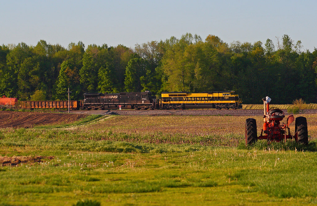
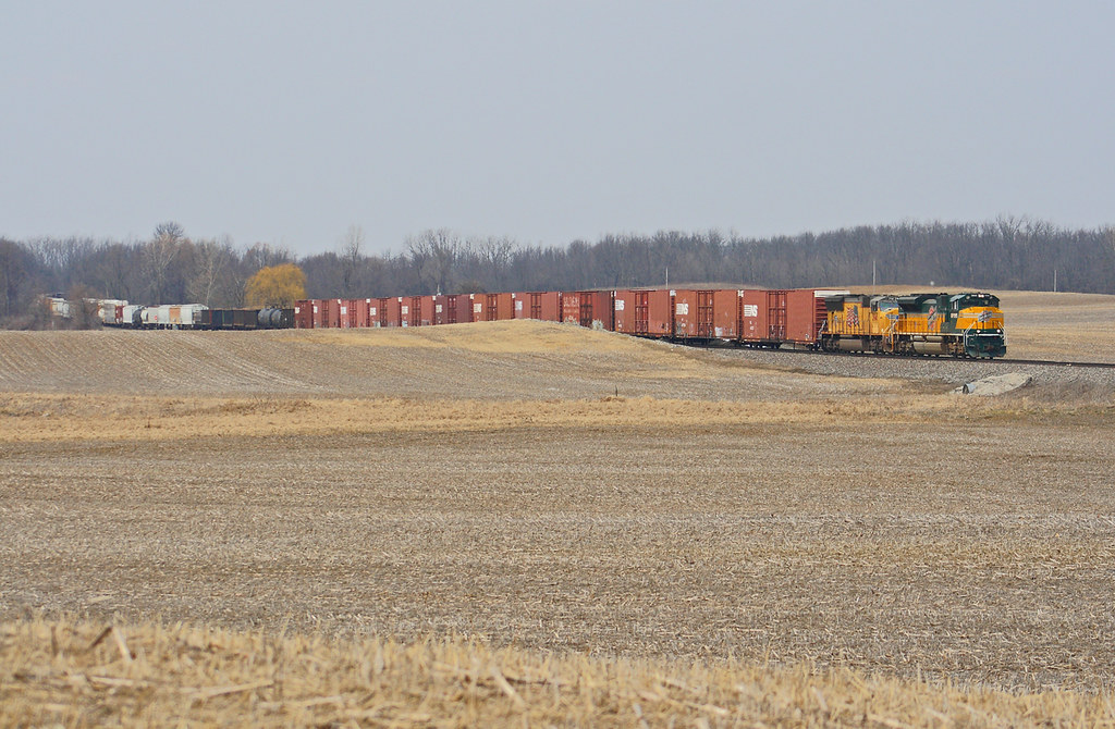
NS 1069 West - Claypool

Today I worked from before sunrise straight through to sunset. Fourteen hours. So there's that.
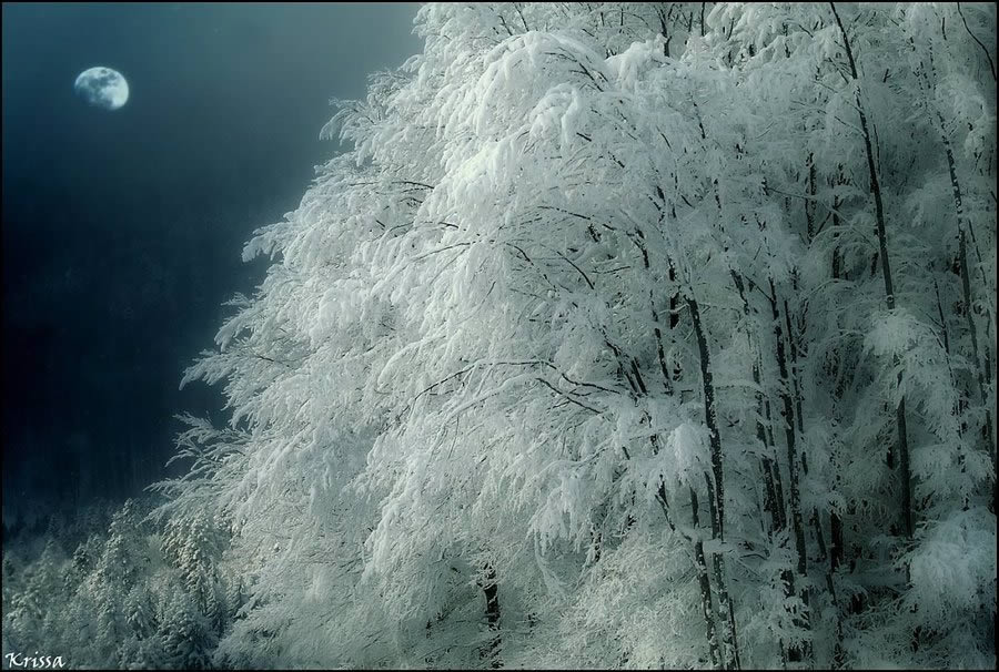
white trees 2
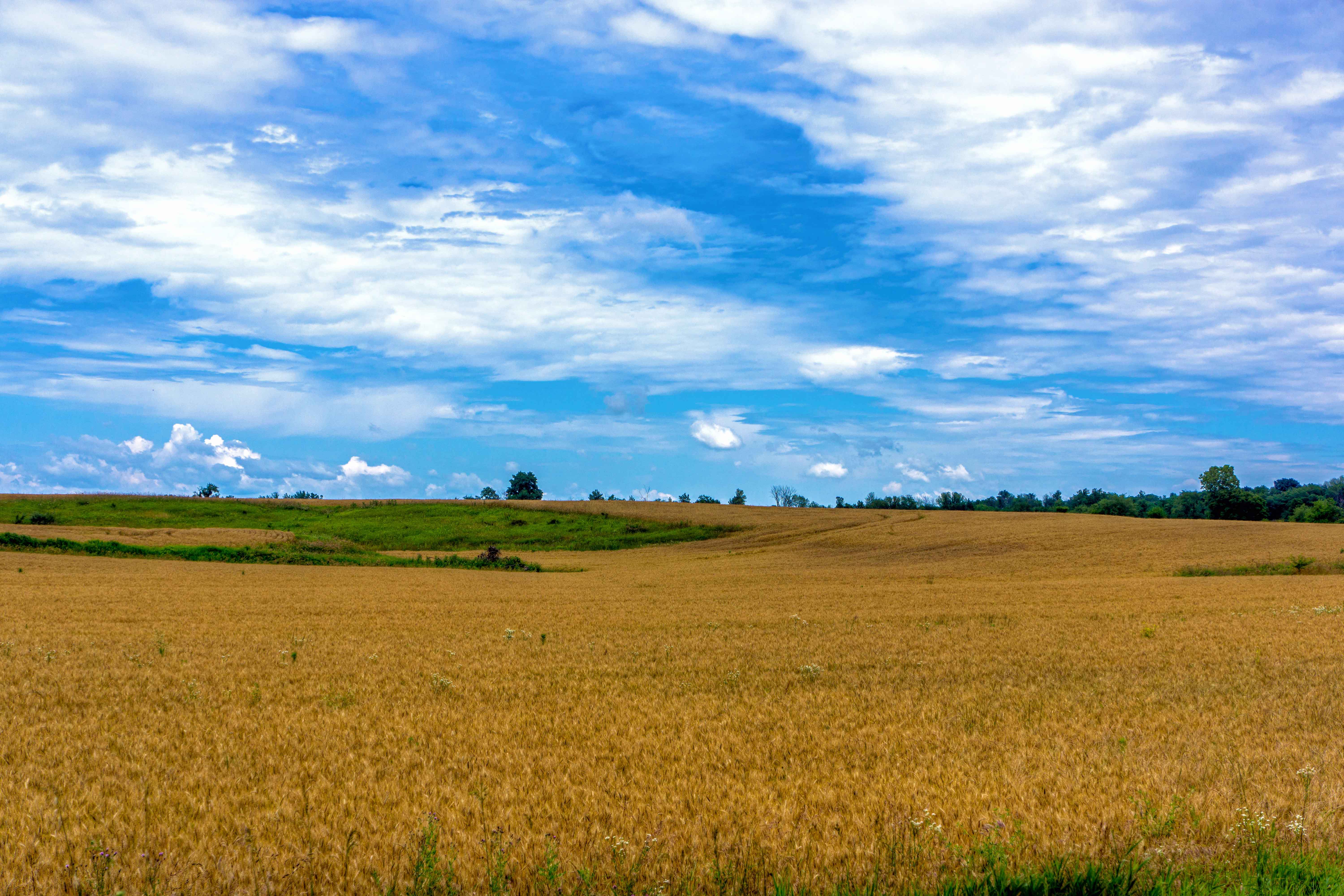
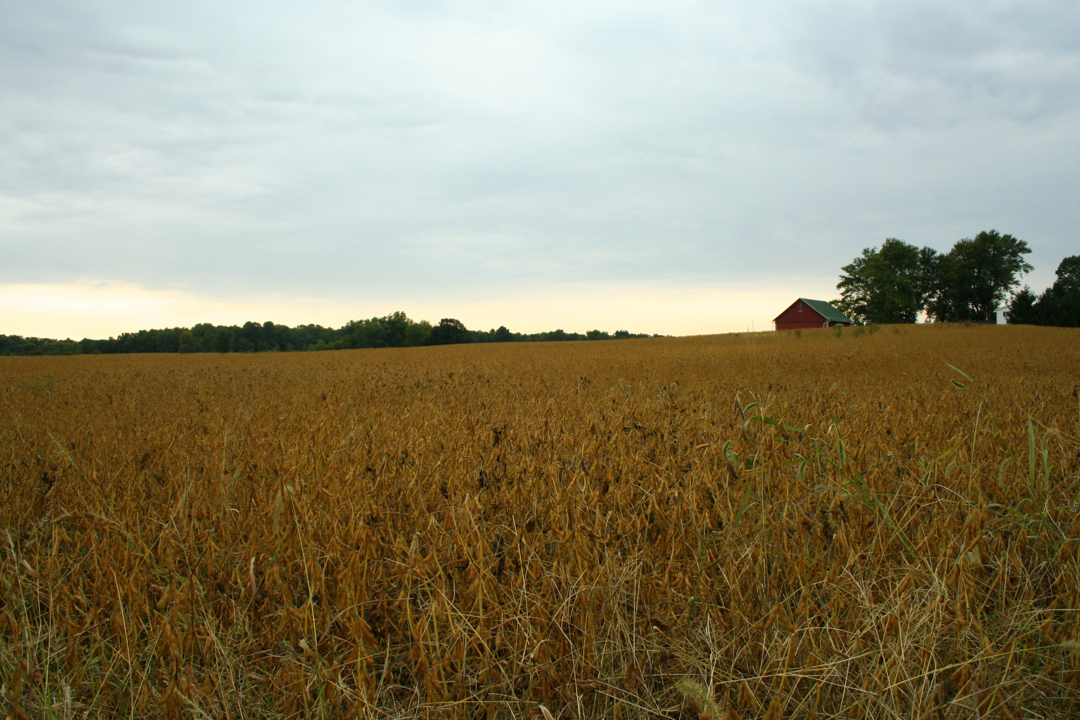
Fields, Near Claypool IN
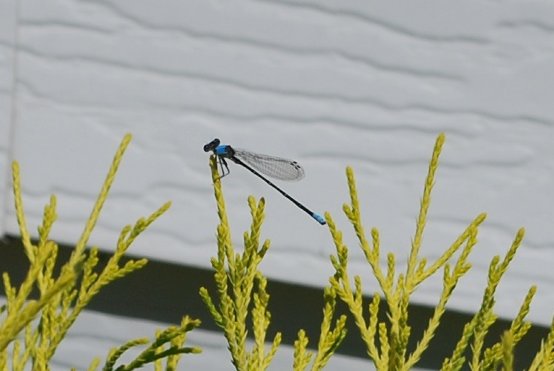
Blue Dragonfly

Brown Dragonfly

8-8-08
8-8-08

It may be cold, it might even be snowing... But we have a great homecoming crowd and the lead! #WeAreGC #feartheLancer #homecoming2014
another storm
DSC_0226 a
Indiana Countryside
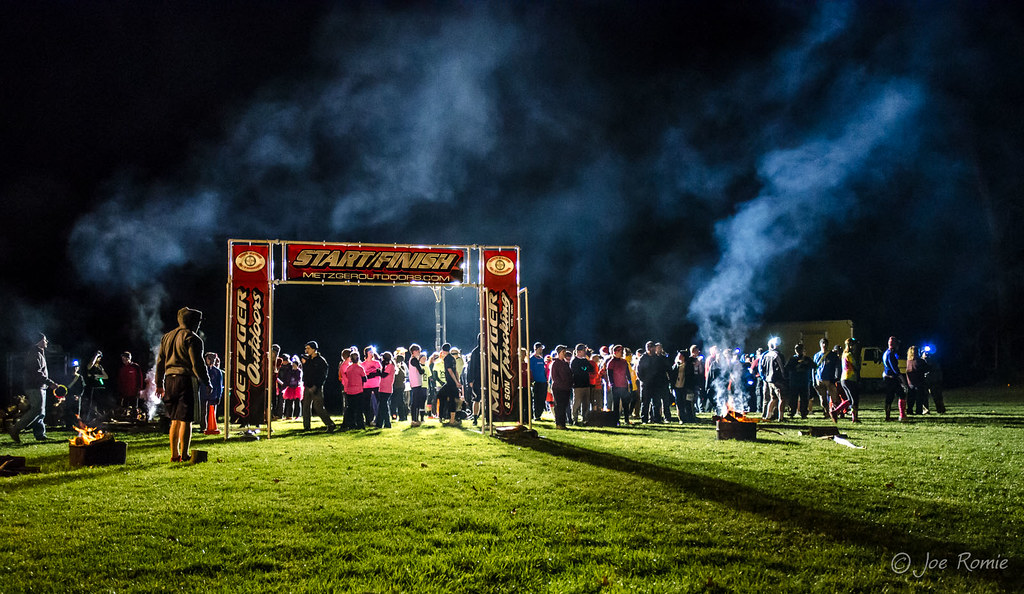
Nocturnal adventure race: racers eagerly wait for the start of the Mission

NS 365 - Packerton
Morning Fishing
Hill & Dale

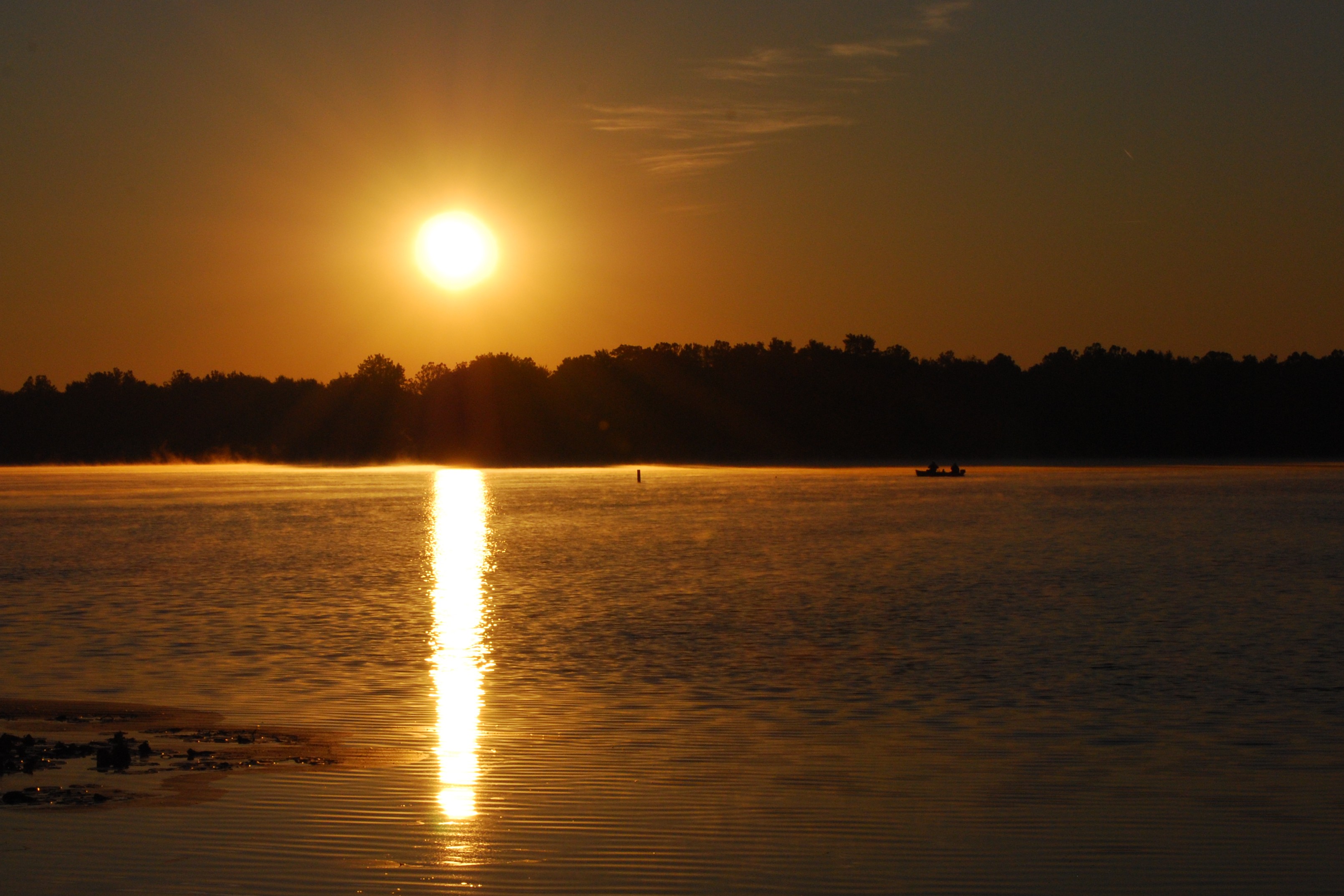
Autumn Sunrise on Yellow Creek Lake

Nocturnal adventure race: the fastest trail runner
Bean Field
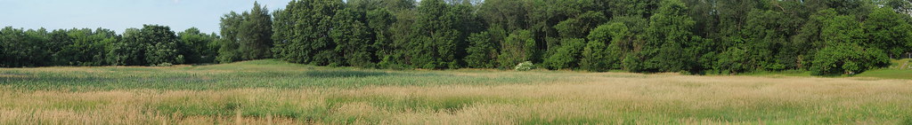
Panoramic - Indiana Field
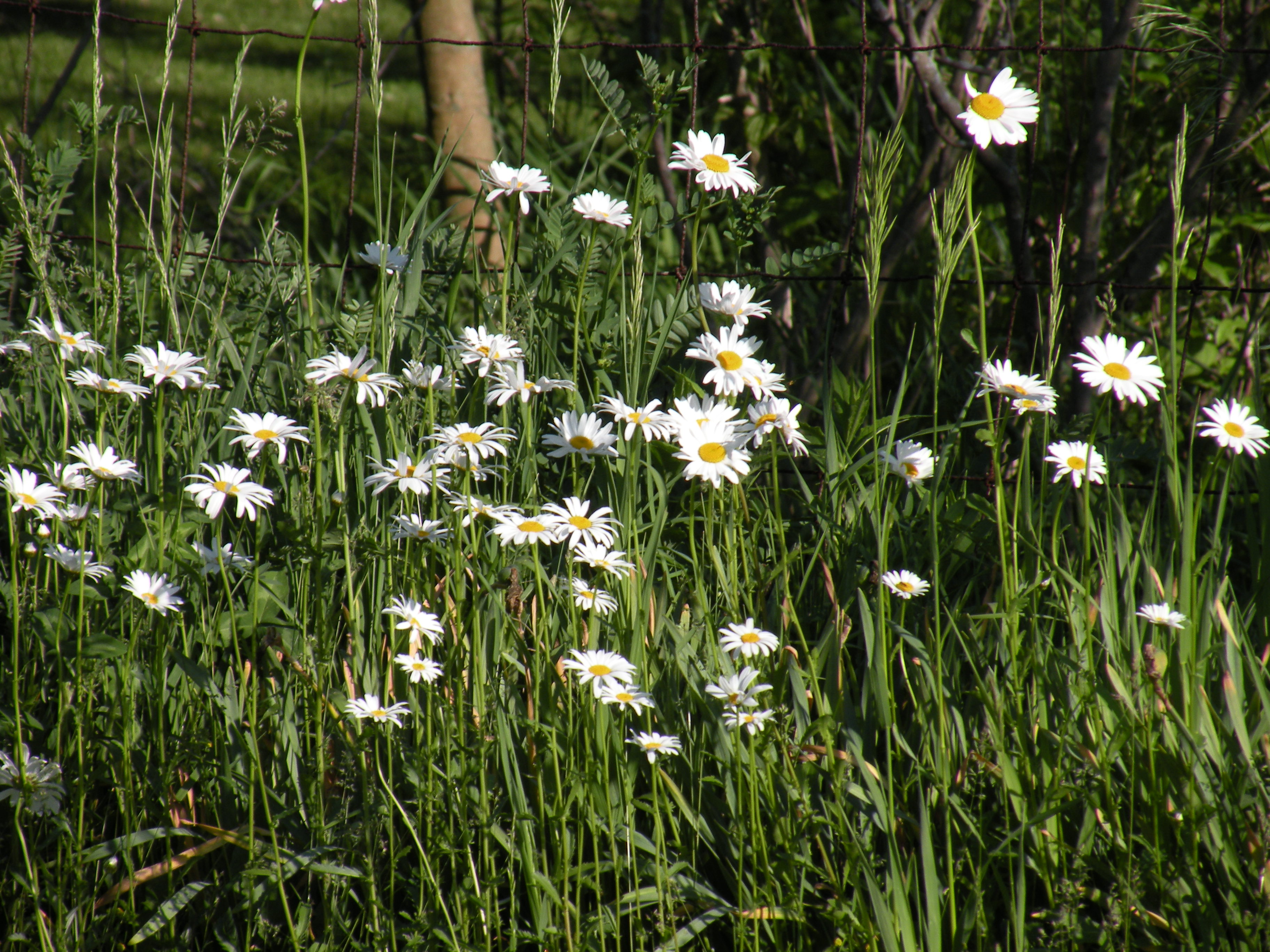
Wild Daisy's
Topographic Map of Claypool, IN, USA
Find elevation by address:

Places in Claypool, IN, USA:
Places near Claypool, IN, USA:
S Main St, Claypool, IN, USA
Silver Lake
E Main St, Silver Lake, IN, USA
Lake Township
Seward Township
S Packerton Rd, Claypool, IN, USA
7589 W Swick Rd
Sevastopol
W S, Akron, IN, USA
Pleasant Township
W Sr 14, Akron, IN, USA
Franklin Township
Laketon
40 N Main St, Laketon, IN, USA
8345 State Rte 19
Akron
21 W Geary St, North Manchester, IN, USA
Henry Township
61 S E, Rochester, IN, USA
Recent Searches:
- Elevation of 72-31 Metropolitan Ave, Middle Village, NY, USA
- Elevation of 76 Metropolitan Ave, Brooklyn, NY, USA
- Elevation of Alisal Rd, Solvang, CA, USA
- Elevation of Vista Blvd, Sparks, NV, USA
- Elevation of 15th Ave SE, St. Petersburg, FL, USA
- Elevation of Beall Road, Beall Rd, Florida, USA
- Elevation of Leguwa, Nepal
- Elevation of County Rd, Enterprise, AL, USA
- Elevation of Kolchuginsky District, Vladimir Oblast, Russia
- Elevation of Shustino, Vladimir Oblast, Russia