Elevation of Akron, IN, USA
Location: United States > Indiana > Kosciusko County > Franklin Township >
Longitude: -86.028050
Latitude: 41.0383766
Elevation: 260m / 853feet
Barometric Pressure: 98KPa
Elevation Map:
Satellite Map:
Related Photos:

Position light lamp
View from Sons backyard

Old house, Rochester
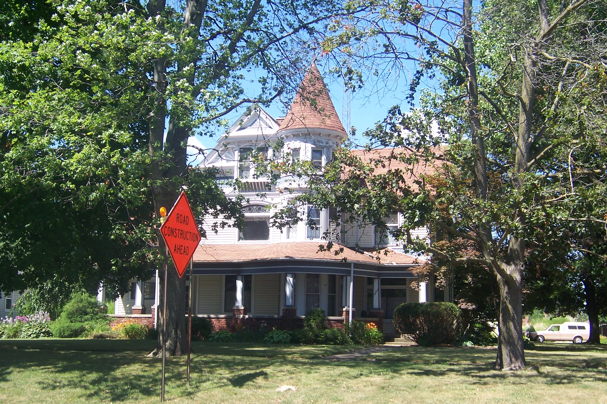
Old house, Rochester

Old Indiana

8-8-08

8-8-08

another storm

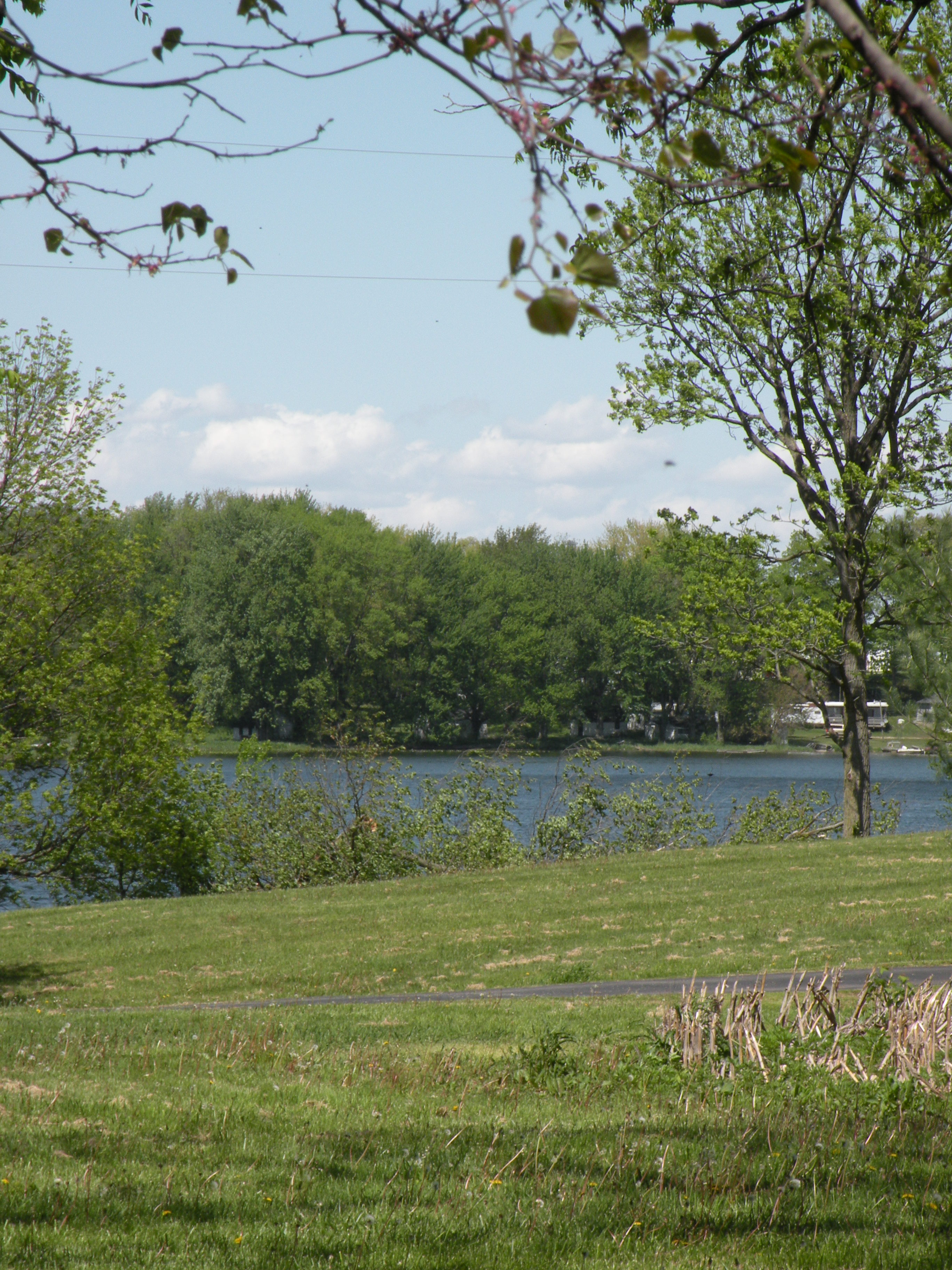
Morning Fishing
Hill & Dale

Wild Daisy's
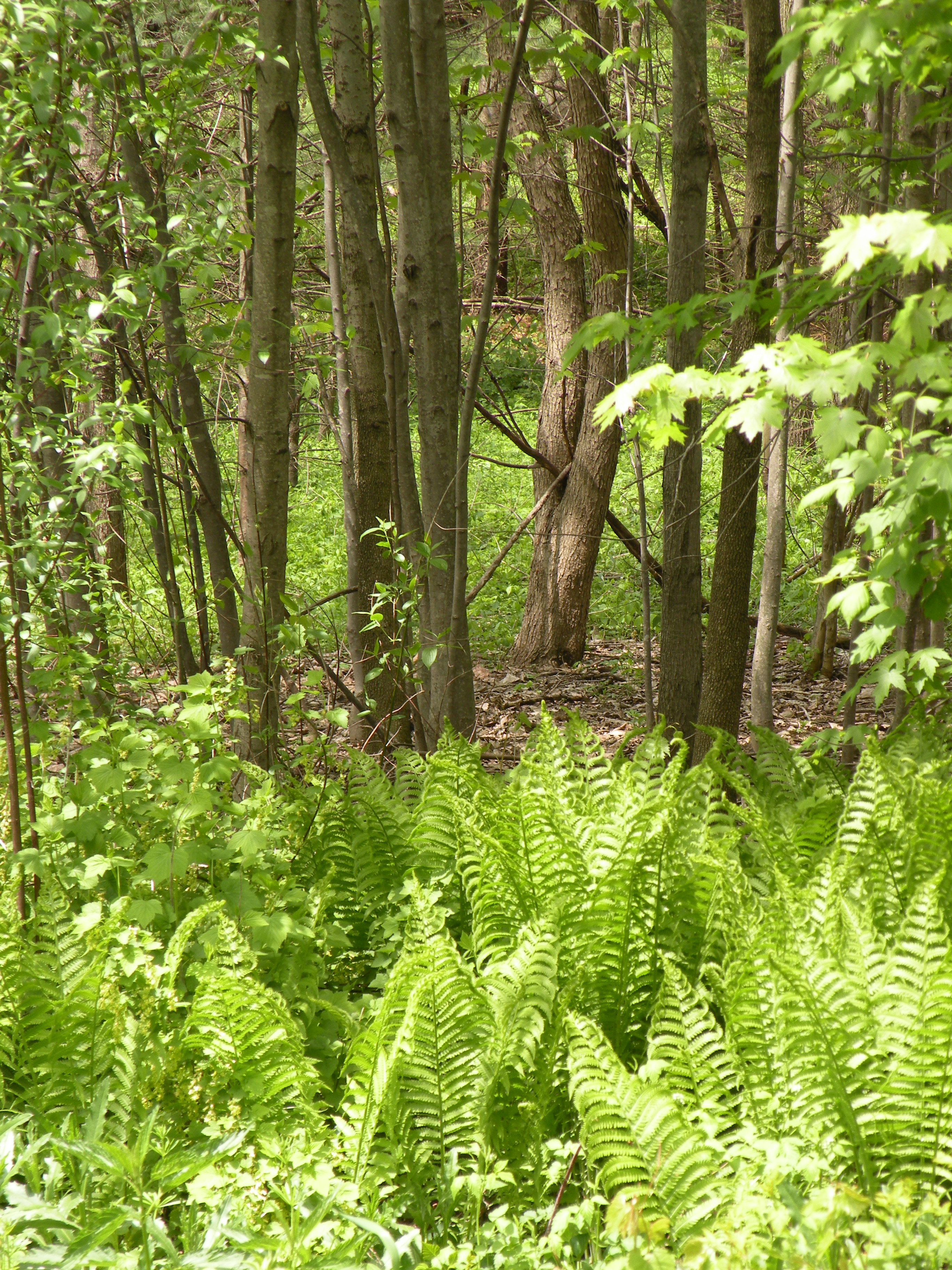
woods behind our house

By this point I was starting to feel like an extra on the Telletubbies set

The Great Outdoors

Autumn Sunrise on Yellow Creek Lake
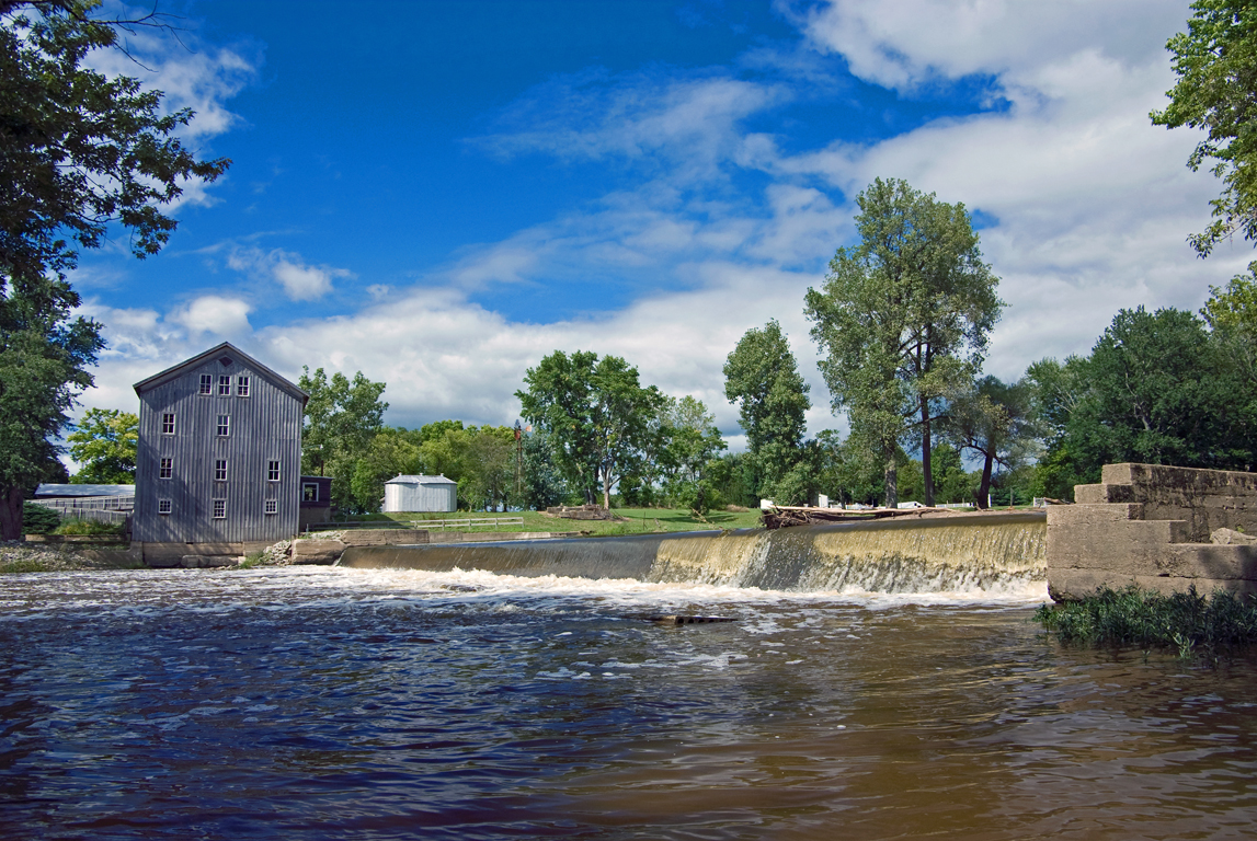
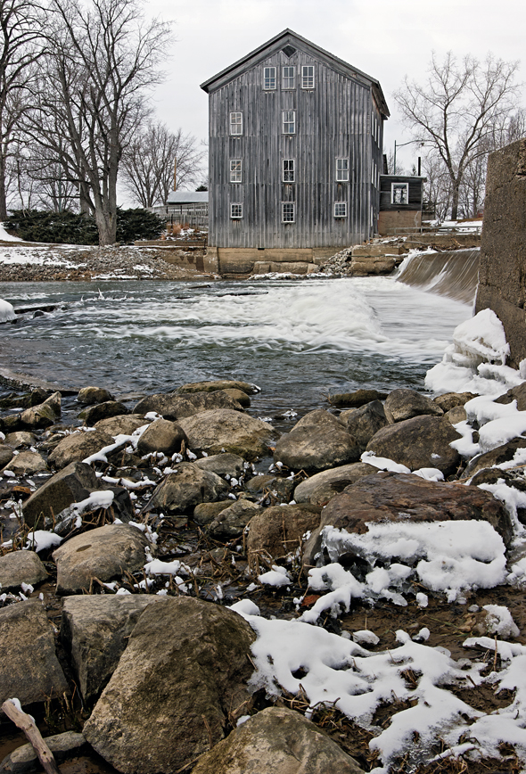
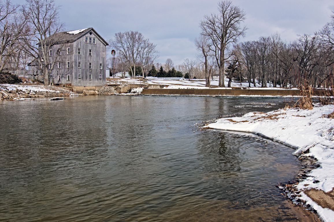
Stockdale Mill, Roann, IN.
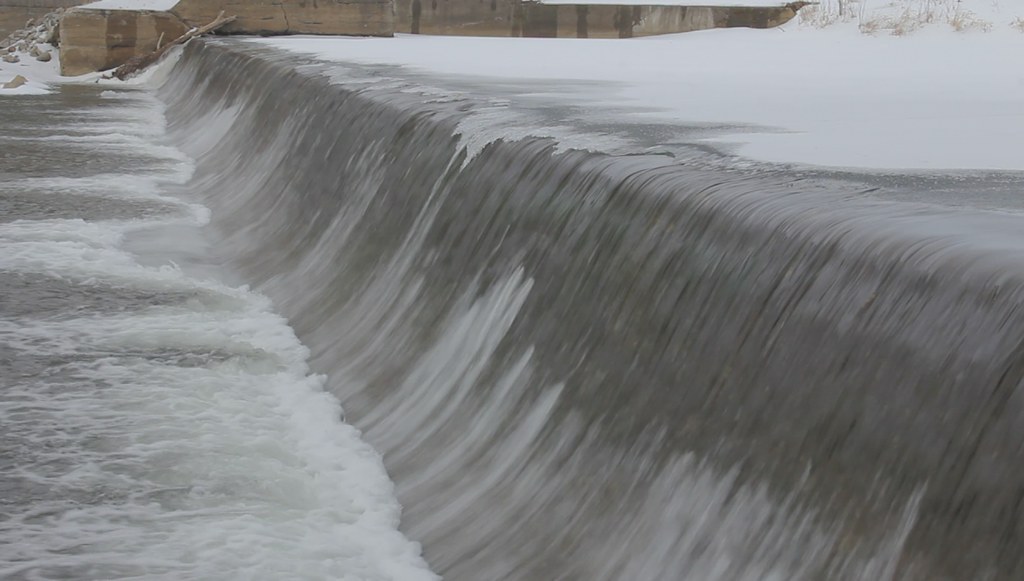
Stockdale Mill in Winter (HD video clip)

Stockdale Mill
Stockdale Mill Rocky Shore
Stockdale Mill
RX Interlocking - Laketon, IN
Topographic Map of Akron, IN, USA
Find elevation by address:

Places in Akron, IN, USA:
Places near Akron, IN, USA:
W Sr 14, Akron, IN, USA
Henry Township
W S, Akron, IN, USA
7589 W Swick Rd
Franklin Township
8345 State Rte 19
Sevastopol
61 S E, Rochester, IN, USA
Seward Township
E Main St, Silver Lake, IN, USA
Silver Lake
Lake Township
Pleasant Township
S Main St, Claypool, IN, USA
Claypool
Laketon
40 N Main St, Laketon, IN, USA
21 W Geary St, North Manchester, IN, USA
S Packerton Rd, Claypool, IN, USA
Recent Searches:
- Elevation of 72-31 Metropolitan Ave, Middle Village, NY, USA
- Elevation of 76 Metropolitan Ave, Brooklyn, NY, USA
- Elevation of Alisal Rd, Solvang, CA, USA
- Elevation of Vista Blvd, Sparks, NV, USA
- Elevation of 15th Ave SE, St. Petersburg, FL, USA
- Elevation of Beall Road, Beall Rd, Florida, USA
- Elevation of Leguwa, Nepal
- Elevation of County Rd, Enterprise, AL, USA
- Elevation of Kolchuginsky District, Vladimir Oblast, Russia
- Elevation of Shustino, Vladimir Oblast, Russia