Elevation of Seaside Rd, Cape Charles, VA, USA
Location: United States > Virginia > Northampton County > >
Longitude: -75.932165
Latitude: 37.286754
Elevation: 8m / 26feet
Barometric Pressure: 101KPa
Elevation Map:
Satellite Map:
Related Photos:
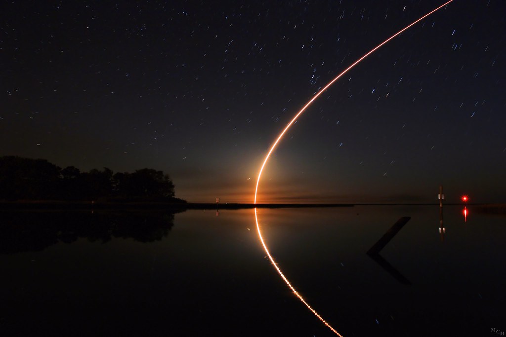
Antares Launch From Wallops Island
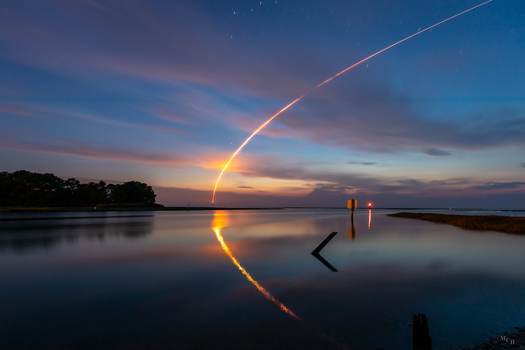
Early Morning Launch
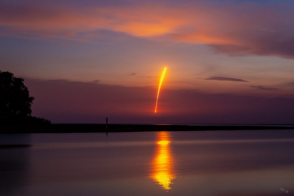
Streaking Skyward

Saltmarsh Sparrow
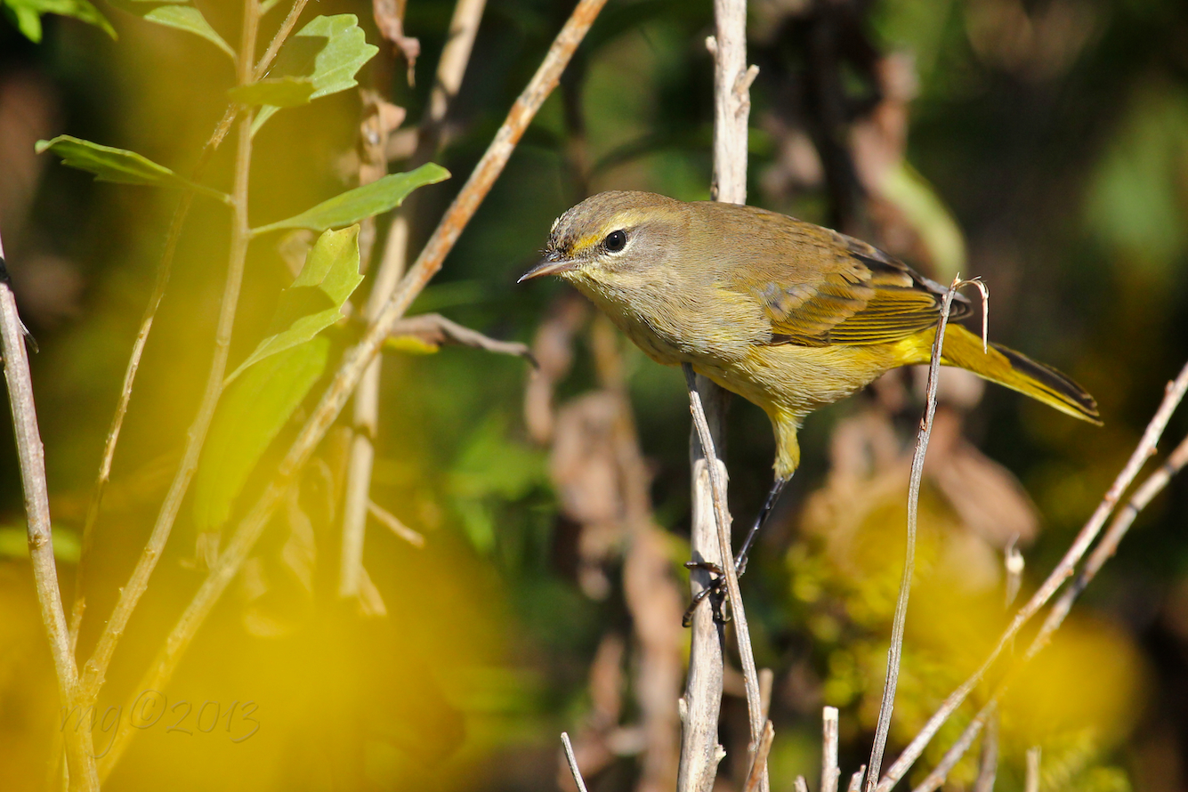
Yellow (Eastern) Palm Warbler
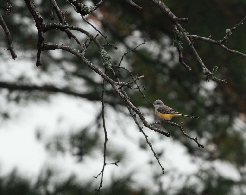
Scissor Tailed Flycatcher

Before Sunset

Eastern Shore of Virginia National Wildlife Refuge
View from Bald Eagle Bluff Overlook/Boardwalk

Common Buckeyes

The view from the moon.
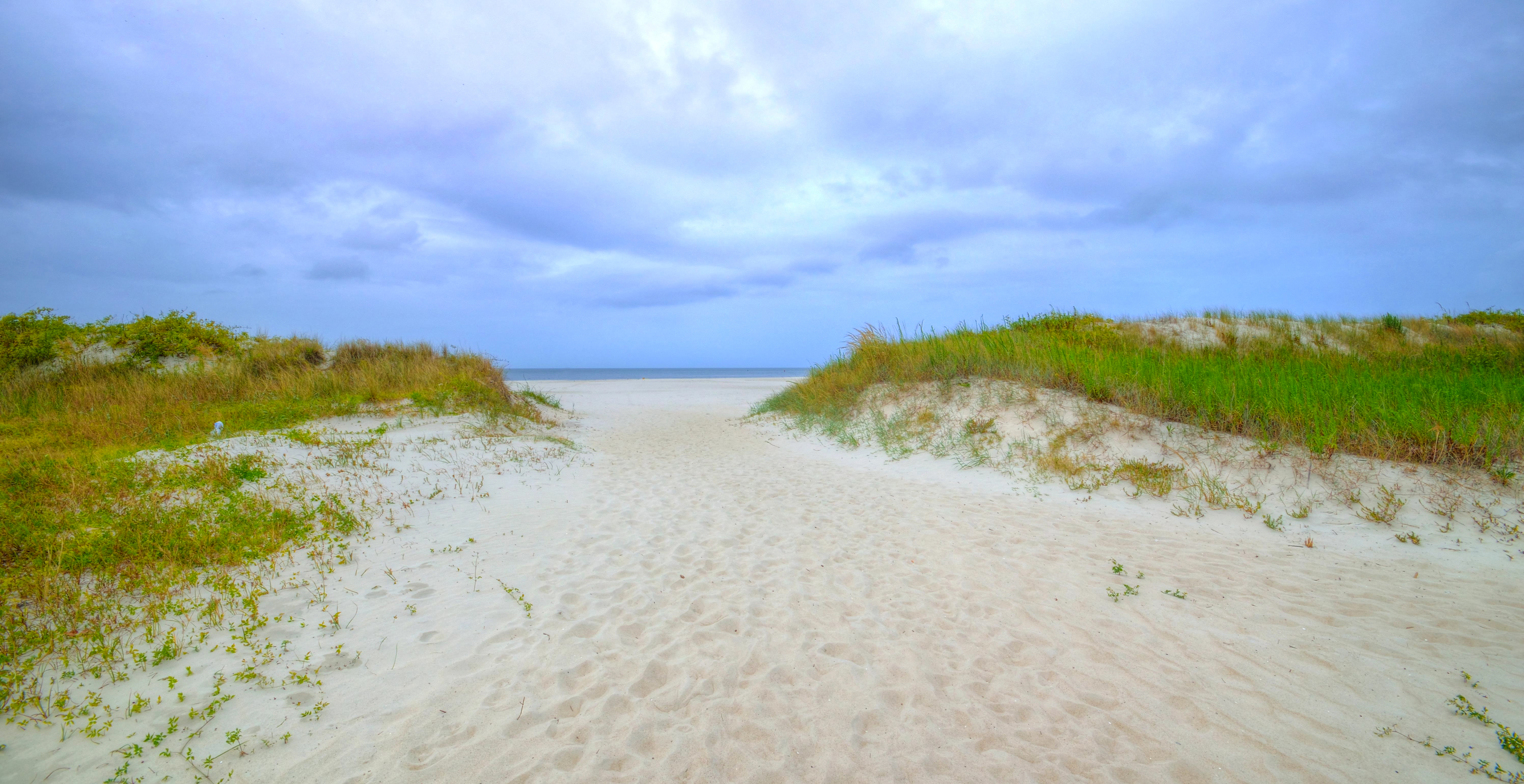
Pleasant Path
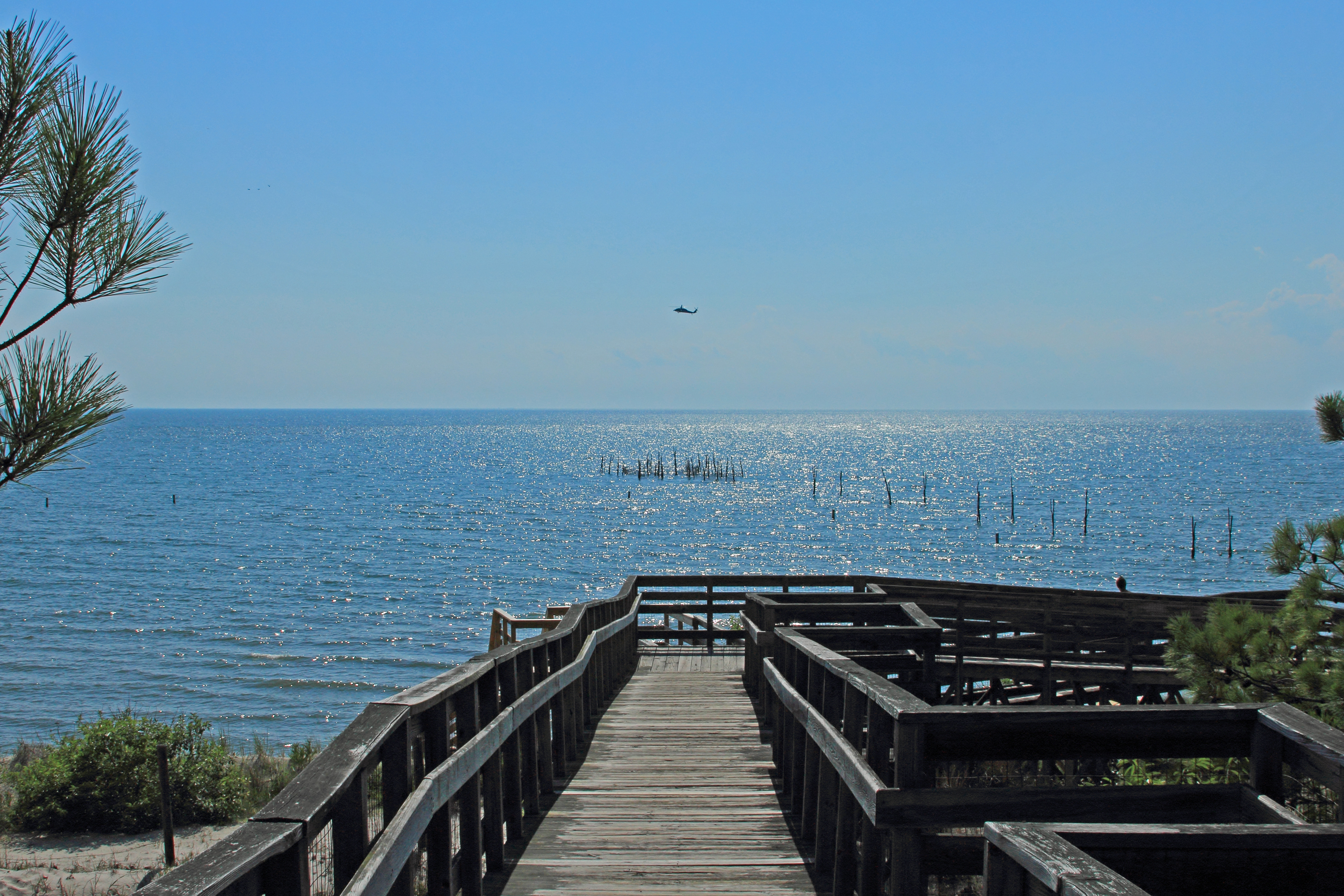
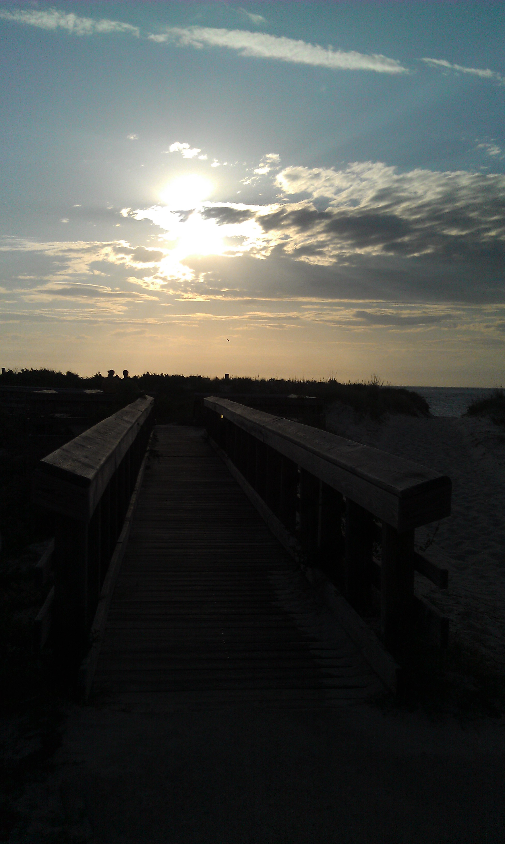
View from the pier at Kiptopeke State Park
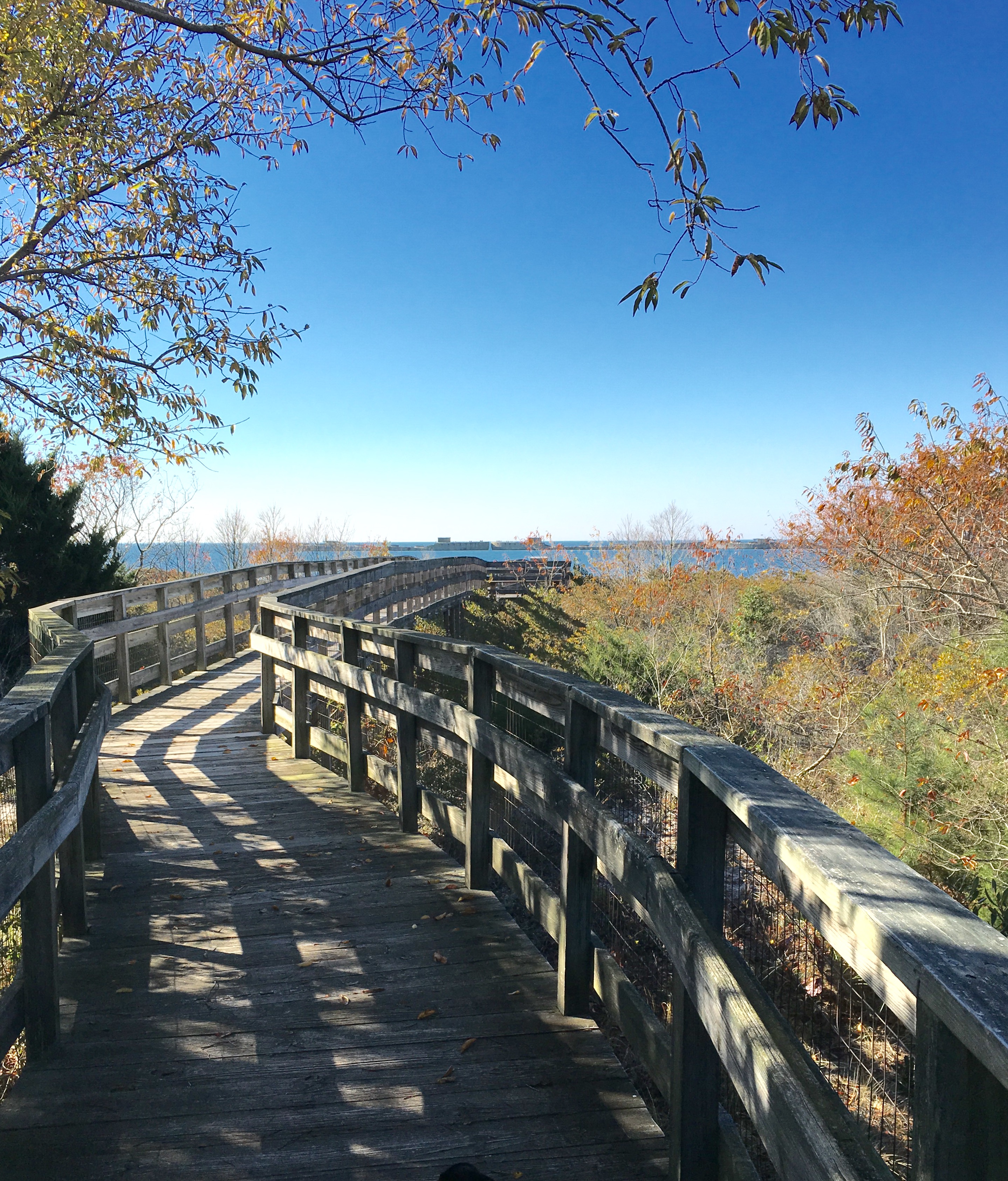
Winding Walkway
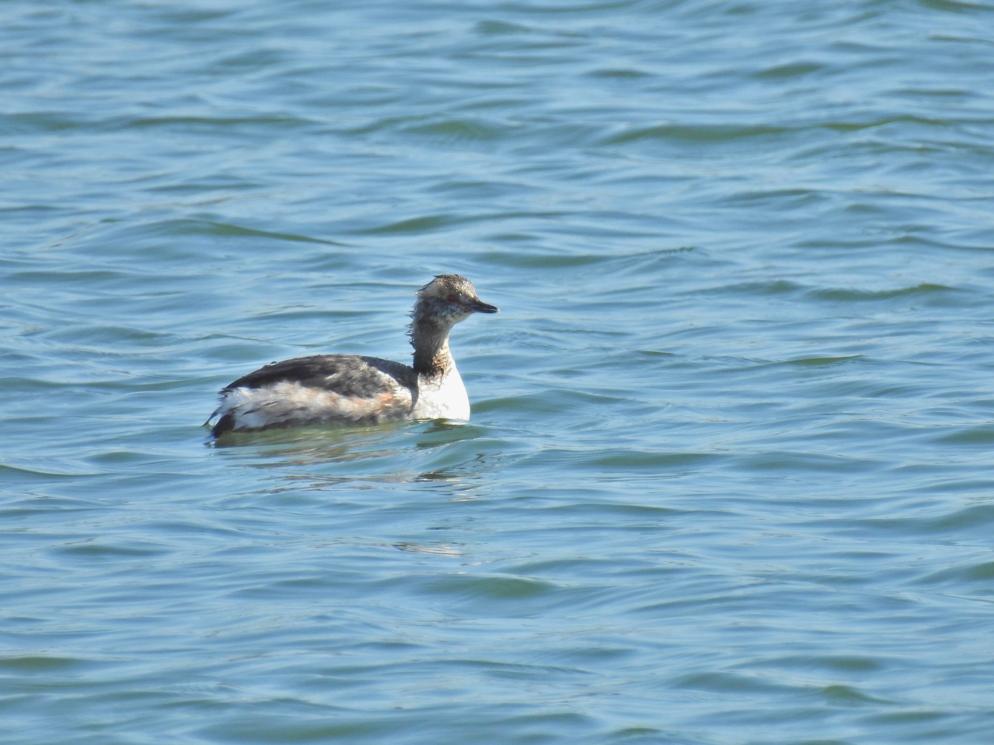
My First (partial) Breeding-plumaged Horned Grebe
The view at Kiptopeke pier
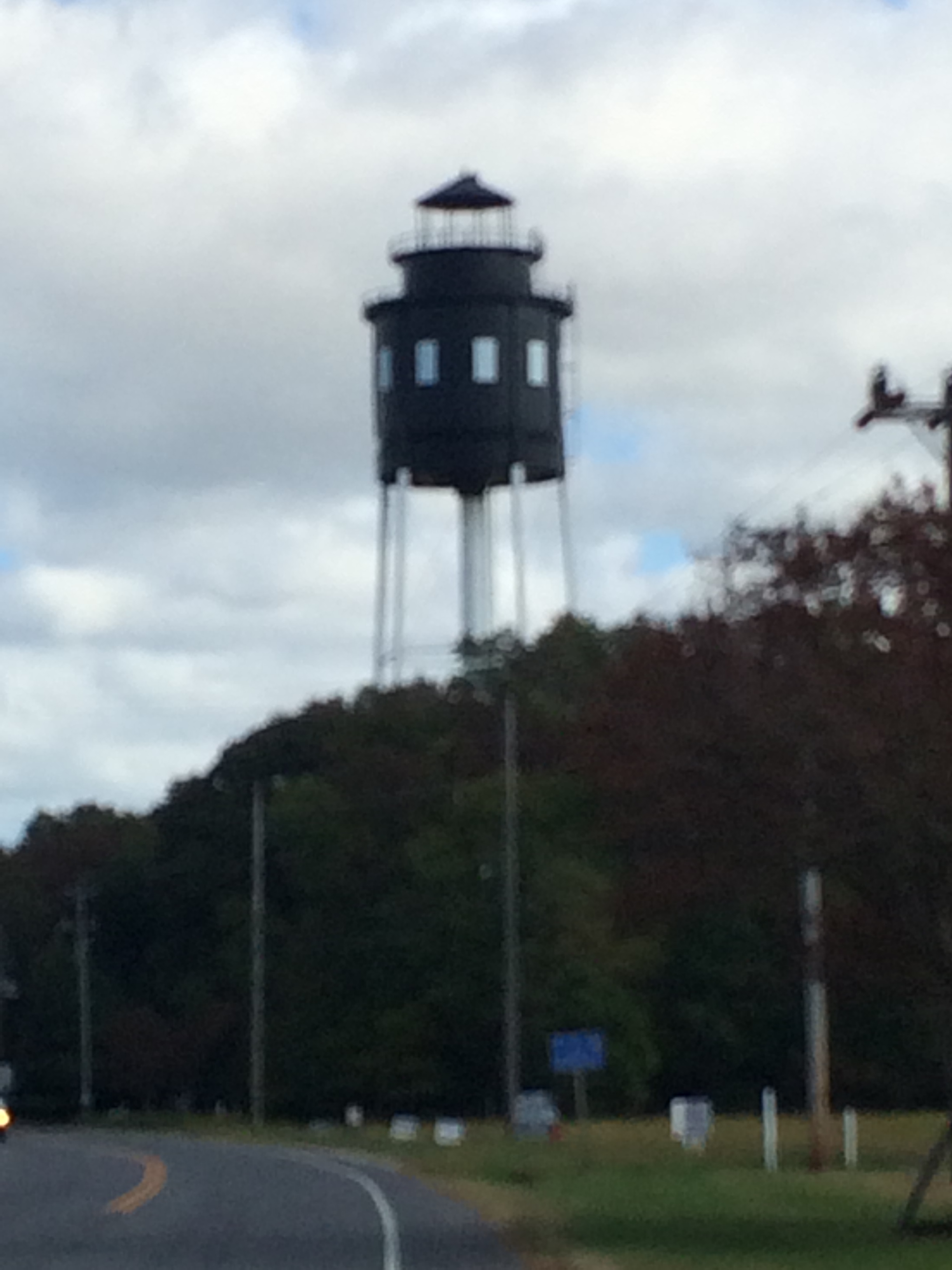
Cape Charles Lighthouse

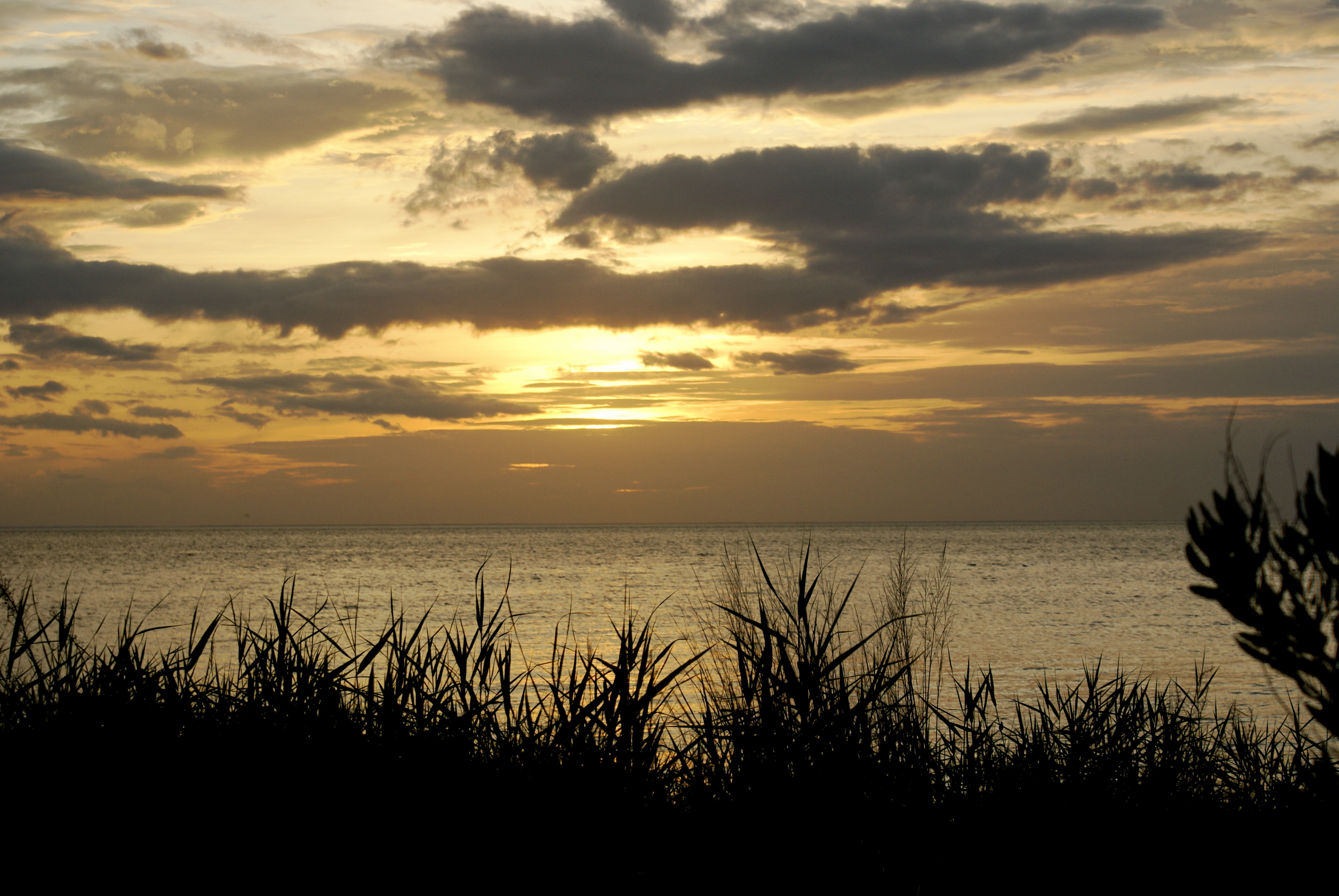
Sunset over the Chesapeake Bay

Blue-Sky Sunset
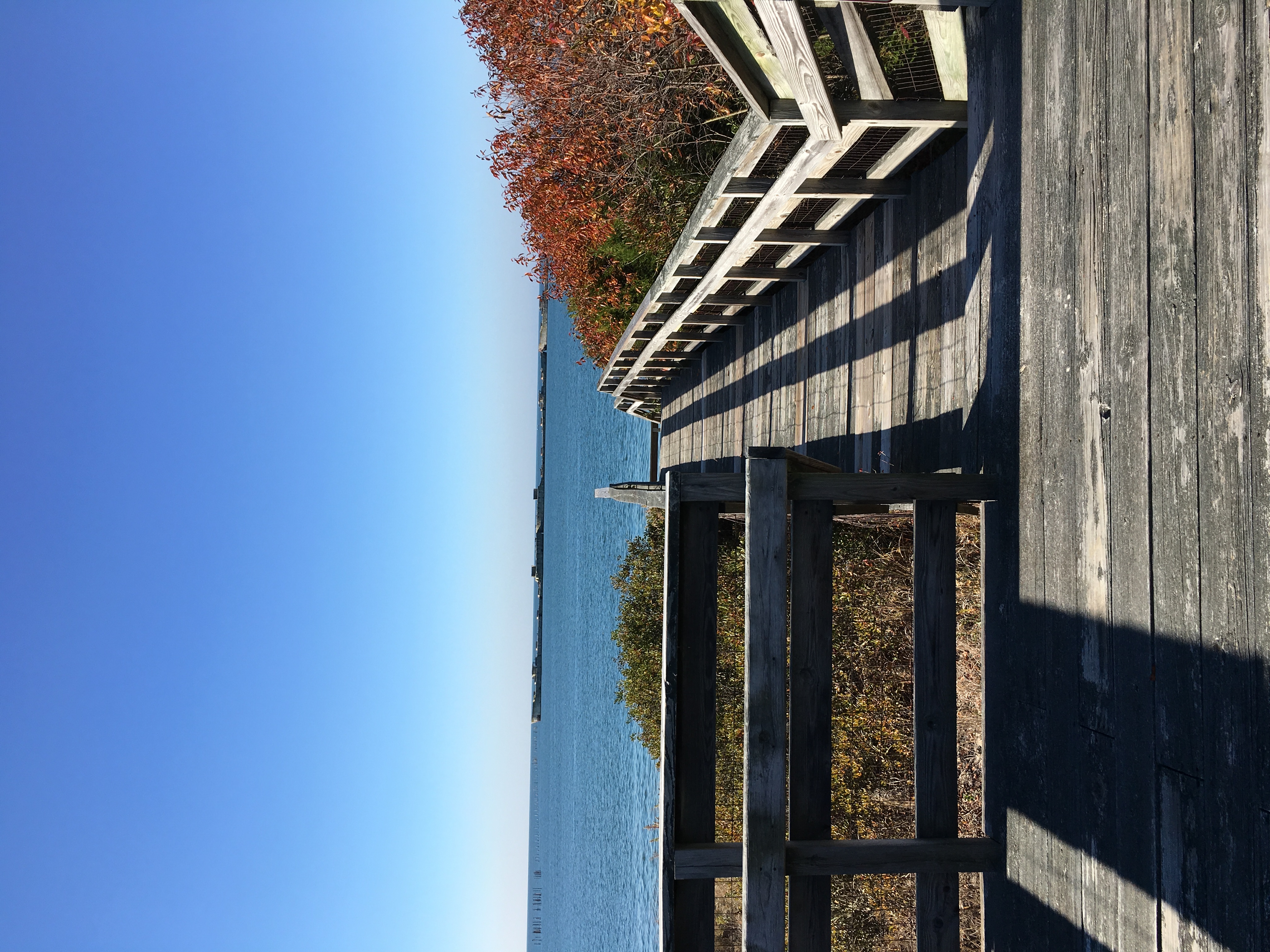
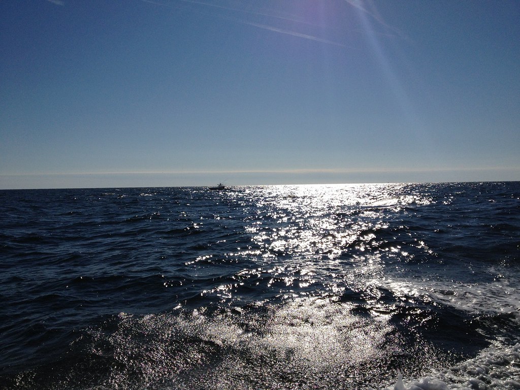
The Chesapeake Bay, at Cape Charles, Virginia
DSC05925.JPG
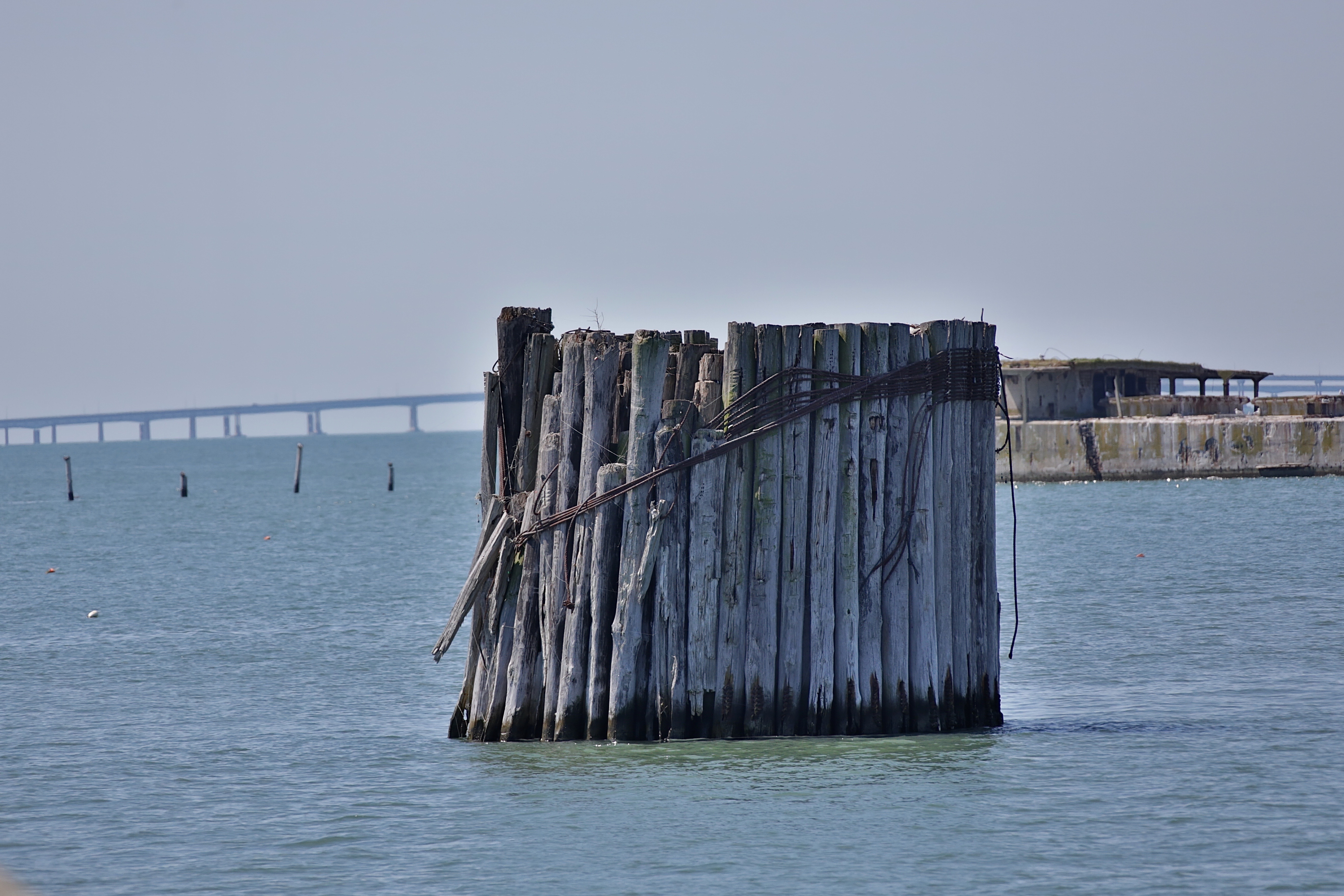
Cape Charles
Fishing Expedition January 2012

GBM- Cherrystone
Topographic Map of Seaside Rd, Cape Charles, VA, USA
Find elevation by address:

Places near Seaside Rd, Cape Charles, VA, USA:
Broadwater Cir, Cape Charles, VA, USA
Seaside Rd, Cape Charles, VA, USA
Vincent Lane
U.s. 13
U.s. 13
Seaside Rd, Machipongo, VA, USA
Machipongo
9221 Thoreau Dr
Bayside Rd, Machipongo, VA, USA
Birdsnest
8265 Birdsnest Dr
Red Bank Rd, Birdsnest, VA, USA
Marionville
Nassawadox
3, VA, USA
Pine Tree Rd, Exmore, VA, USA
Jamesville
Jamesville Rd, Exmore, VA, USA
5, VA, USA
6506 Occohannock Neck Rd
Recent Searches:
- Elevation of Groblershoop, South Africa
- Elevation of Power Generation Enterprises | Industrial Diesel Generators, Oak Ave, Canyon Country, CA, USA
- Elevation of Chesaw Rd, Oroville, WA, USA
- Elevation of N, Mt Pleasant, UT, USA
- Elevation of 6 Rue Jules Ferry, Beausoleil, France
- Elevation of Sattva Horizon, 4JC6+G9P, Vinayak Nagar, Kattigenahalli, Bengaluru, Karnataka, India
- Elevation of Great Brook Sports, Gold Star Hwy, Groton, CT, USA
- Elevation of 10 Mountain Laurels Dr, Nashua, NH, USA
- Elevation of 16 Gilboa Ln, Nashua, NH, USA
- Elevation of Laurel Rd, Townsend, TN, USA