Elevation of Birdsnest Dr, Birdsnest, VA, USA
Location: United States > Virginia > Northampton County > > Birdsnest >
Longitude: -75.888636
Latitude: 37.4415711
Elevation: 11m / 36feet
Barometric Pressure: 101KPa
Elevation Map:
Satellite Map:
Related Photos:

Silver Beach Sunset over the Chesapeake

Exmore - Willis Wharf school

Northampton County Courthouse, Eastville, VA (3)

Northampton County Courthouse, Eastville, VA (2)

Northampton County Courthouse, Eastville, VA
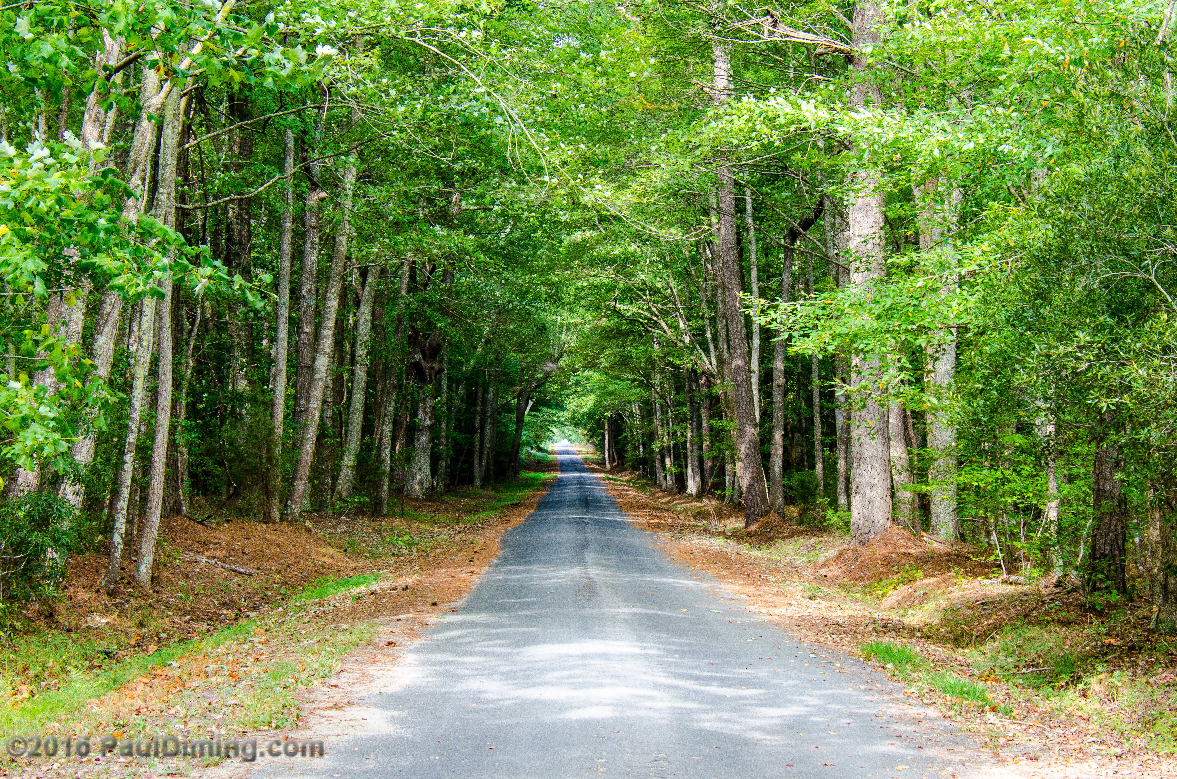
Brownsville Road @ Brownsville Reserve - Nassawadox, VA

Silver Beach Sunset

Silver Beach Sunset

#nature #bridge

Bridge to sunset

Marshes near Willis Wharf

Silver Beach Sunset
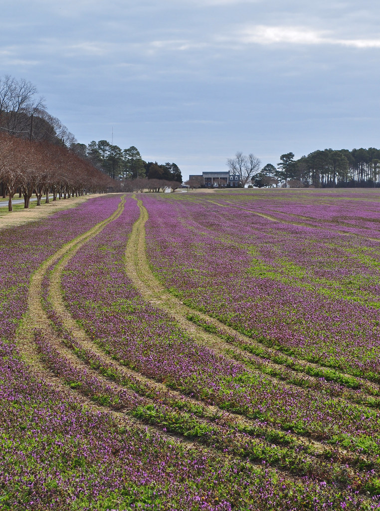
Lamium amplexicaule (11)

Lamium amplexicaule (15)

On the Water
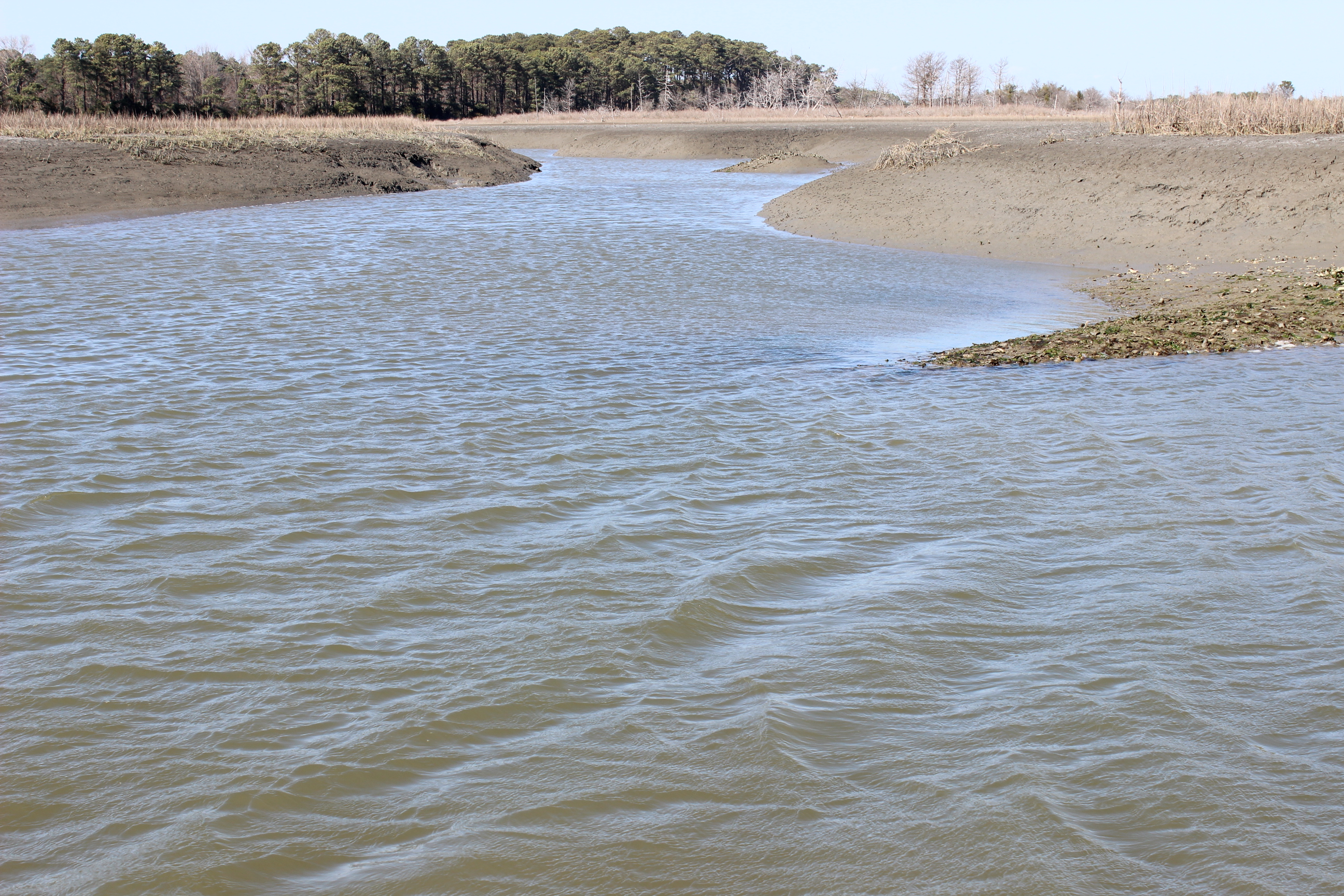
Upshur Creek, Brownsville Farm
Topographic Map of Birdsnest Dr, Birdsnest, VA, USA
Find elevation by address:

Places near Birdsnest Dr, Birdsnest, VA, USA:
Red Bank Rd, Birdsnest, VA, USA
Marionville
Bayside Rd, Machipongo, VA, USA
Nassawadox
Pine Tree Rd, Exmore, VA, USA
5, VA, USA
Unnamed Road
Jamesville Rd, Exmore, VA, USA
Jamesville
6506 Occohannock Neck Rd
Seaside Rd, Exmore, VA, USA
Ballard Farm Road
Morley's Wharf Rd, Exmore, VA, USA
7139 Clearview Way
Willis Wharf
Willis Wharf Rd, Willis Wharf, VA, USA
Exmore
Myrtle Ave, Exmore, VA, USA
Old Neck Rd, Exmore, VA, USA
Virginia Landing Rv Campground
Recent Searches:
- Elevation of 72-31 Metropolitan Ave, Middle Village, NY, USA
- Elevation of 76 Metropolitan Ave, Brooklyn, NY, USA
- Elevation of Alisal Rd, Solvang, CA, USA
- Elevation of Vista Blvd, Sparks, NV, USA
- Elevation of 15th Ave SE, St. Petersburg, FL, USA
- Elevation of Beall Road, Beall Rd, Florida, USA
- Elevation of Leguwa, Nepal
- Elevation of County Rd, Enterprise, AL, USA
- Elevation of Kolchuginsky District, Vladimir Oblast, Russia
- Elevation of Shustino, Vladimir Oblast, Russia