Elevation of Pine Tree Rd, Exmore, VA, USA
Location: United States > Virginia > Northampton County >
Longitude: -75.843665
Latitude: 37.48014
Elevation: 11m / 36feet
Barometric Pressure: 101KPa
Elevation Map:
Satellite Map:
Related Photos:

Looking at you through the glass...

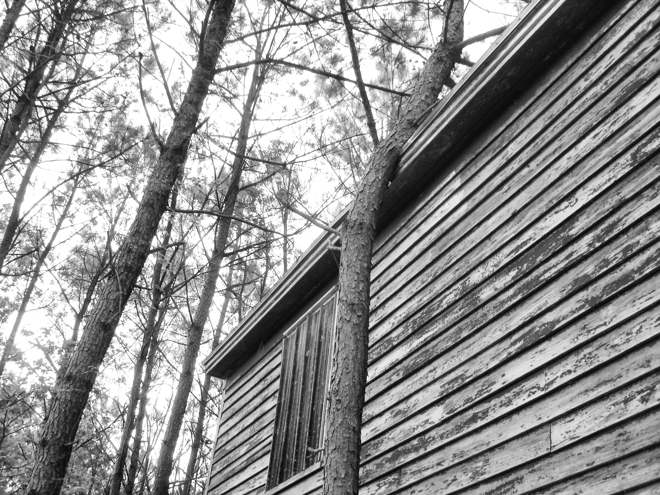
Taking a peek...
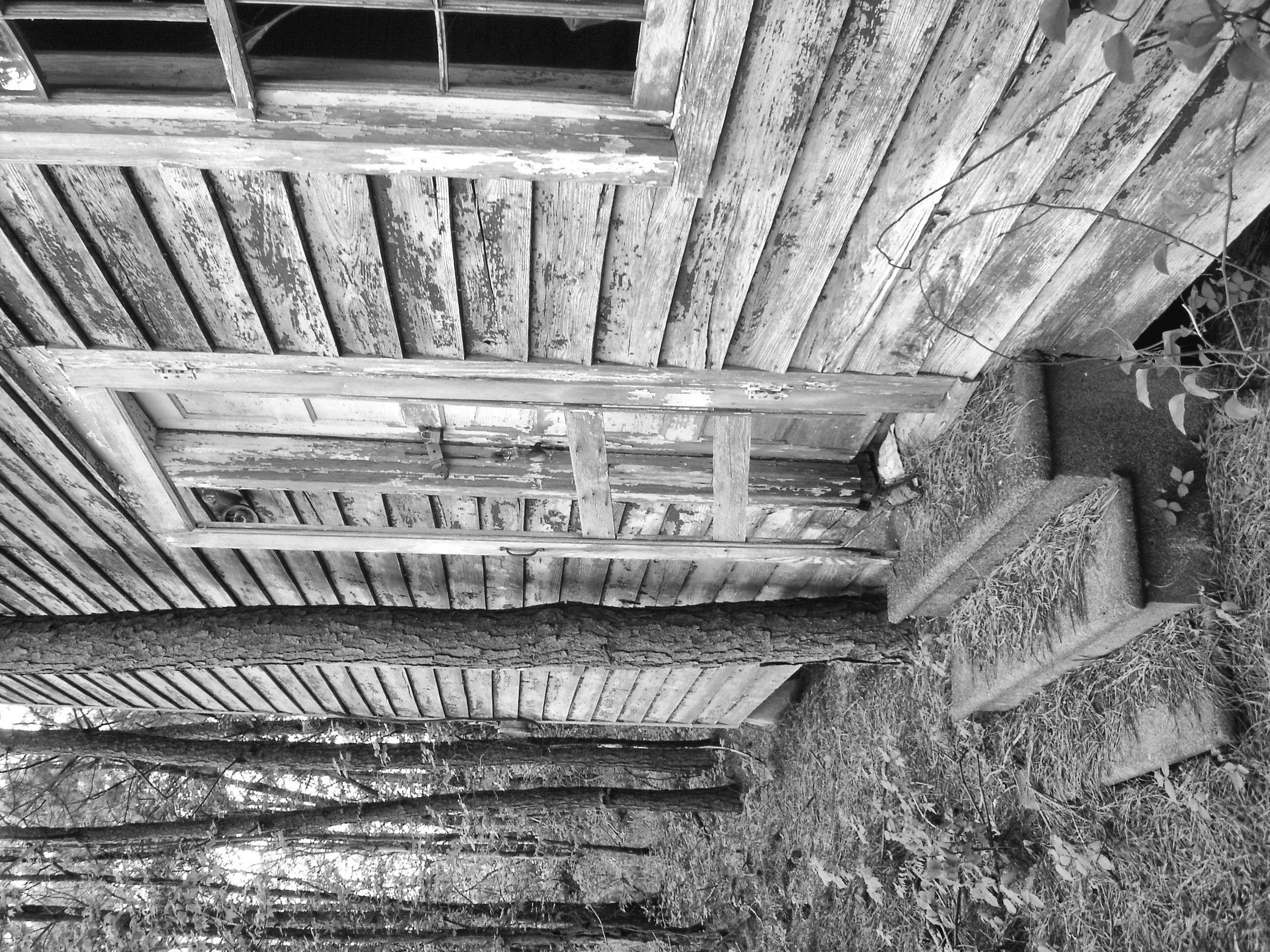
Watch your step
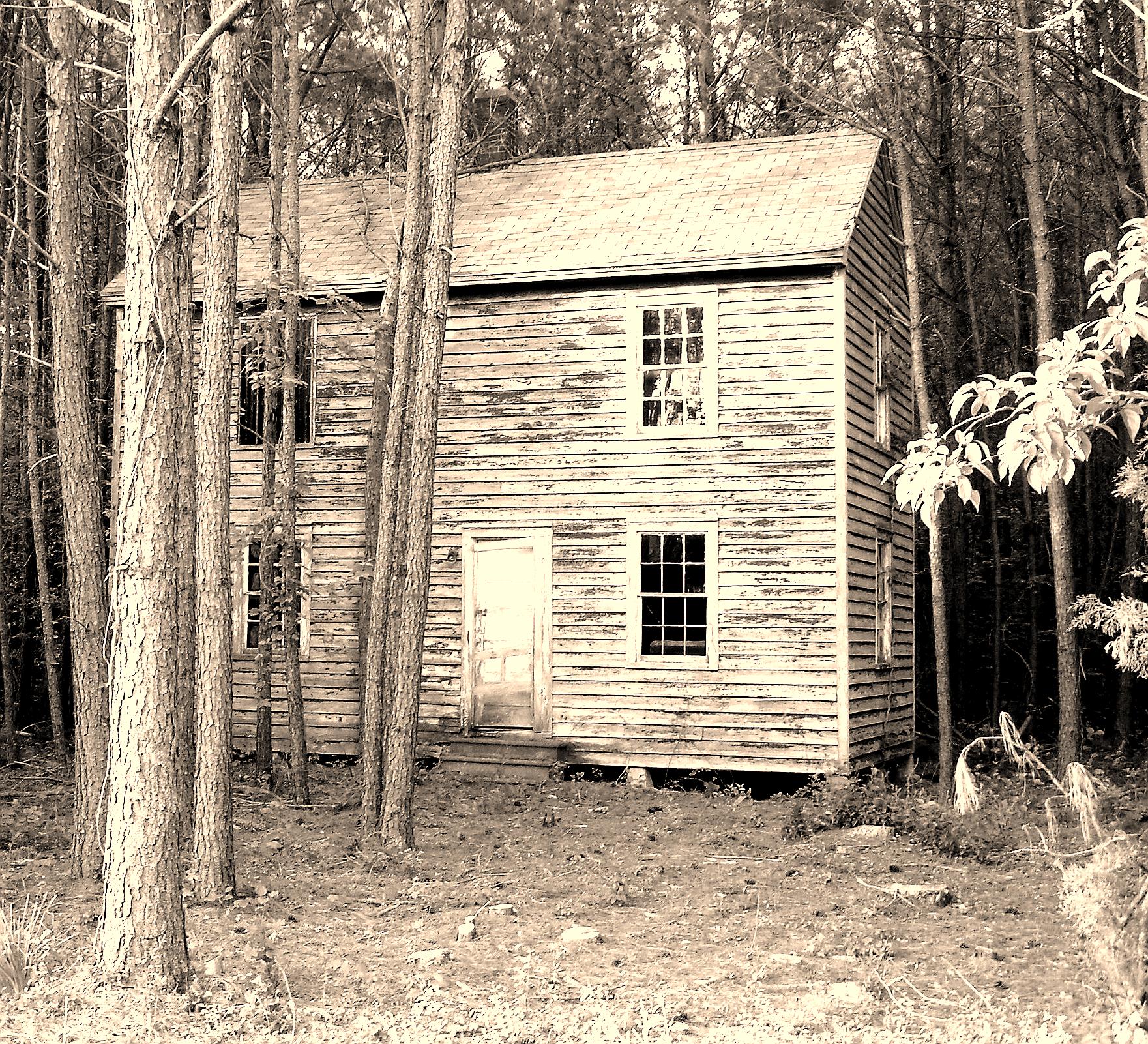
Tree house
Near Cedar View, Virginia
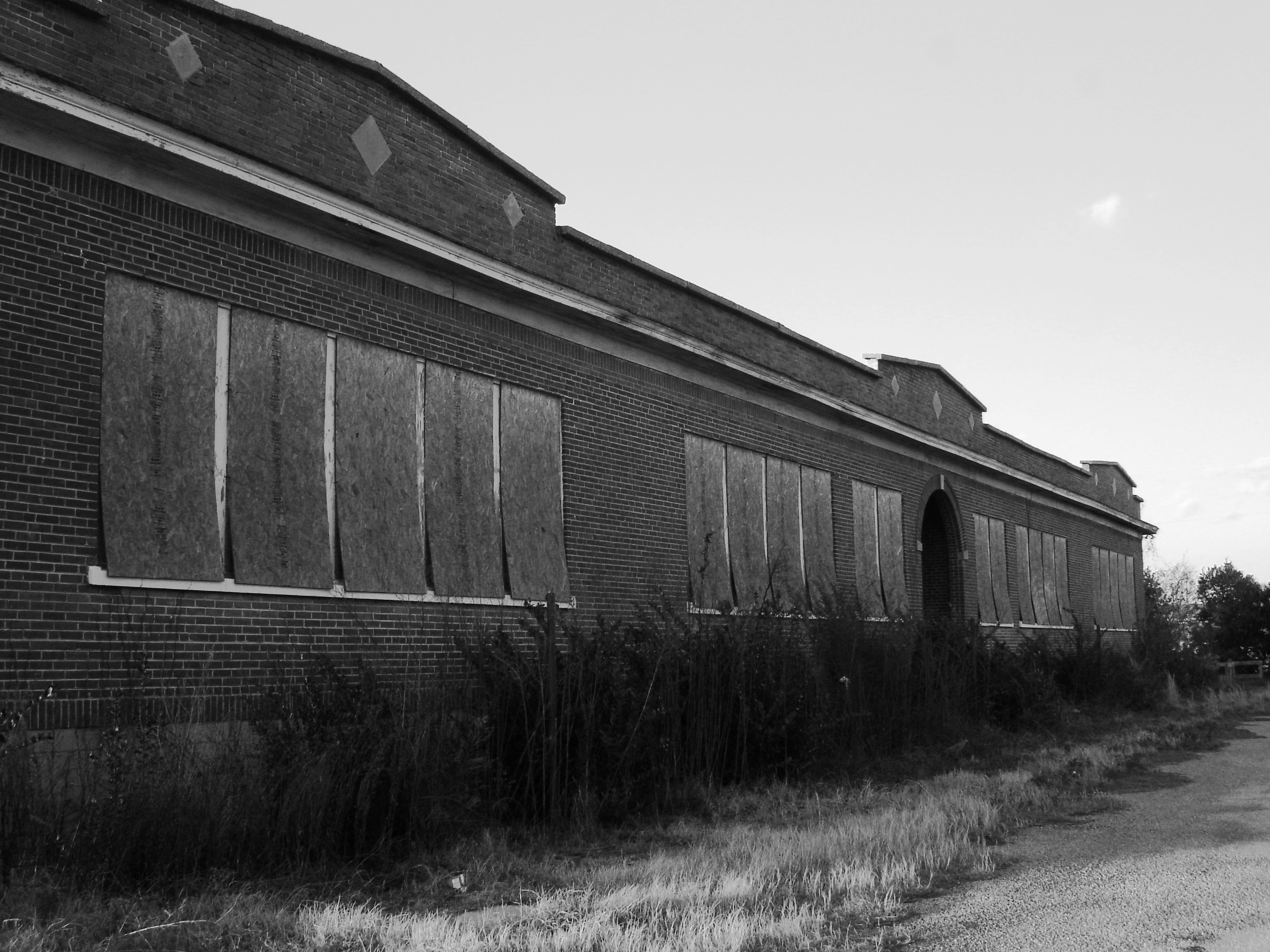
Exmore - Willis Wharf school

After the deluge (2)

Silver Beach Sunset over the Chesapeake
Lamium amplexicaule (3)

On the Water

Bridge to sunset
Topographic Map of Pine Tree Rd, Exmore, VA, USA
Find elevation by address:

Places near Pine Tree Rd, Exmore, VA, USA:
Nassawadox
Marionville
Red Bank Rd, Birdsnest, VA, USA
Seaside Rd, Exmore, VA, USA
Ballard Farm Road
Willis Wharf
Willis Wharf Rd, Willis Wharf, VA, USA
5, VA, USA
Unnamed Road
Myrtle Ave, Exmore, VA, USA
Exmore
8265 Birdsnest Dr
Virginia Landing Rv Campground
Cemetery Rd, Exmore, VA, USA
36133 Belle Haven Rd
Morley's Wharf Rd, Exmore, VA, USA
Shields Bridge Rd, Belle Haven, VA, USA
Belle Haven
13923 Shields Bridge Rd
14193 Woodsfield Dr
Recent Searches:
- Elevation of Spaceport America, Co Rd A, Truth or Consequences, NM, USA
- Elevation of Warwick, RI, USA
- Elevation of Fern Rd, Whitmore, CA, USA
- Elevation of 62 Abbey St, Marshfield, MA, USA
- Elevation of Fernwood, Bradenton, FL, USA
- Elevation of Felindre, Swansea SA5 7LU, UK
- Elevation of Leyte Industrial Development Estate, Isabel, Leyte, Philippines
- Elevation of W Granada St, Tampa, FL, USA
- Elevation of Pykes Down, Ivybridge PL21 0BY, UK
- Elevation of Jalan Senandin, Lutong, Miri, Sarawak, Malaysia