Elevation of Morley's Wharf Rd, Exmore, VA, USA
Location: United States > Virginia > Northampton County >
Longitude: -75.877762
Latitude: 37.547647
Elevation: 4m / 13feet
Barometric Pressure: 101KPa
Elevation Map:
Satellite Map:
Related Photos:

Nandua sunrise
Near Cedar View, Virginia
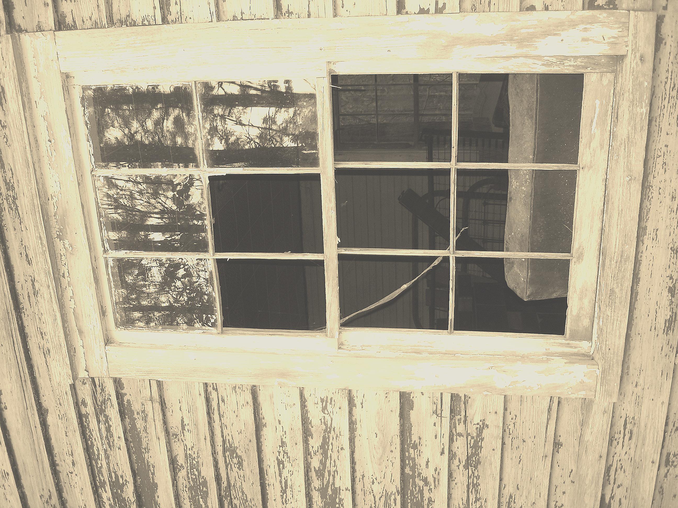
Taking a peek...
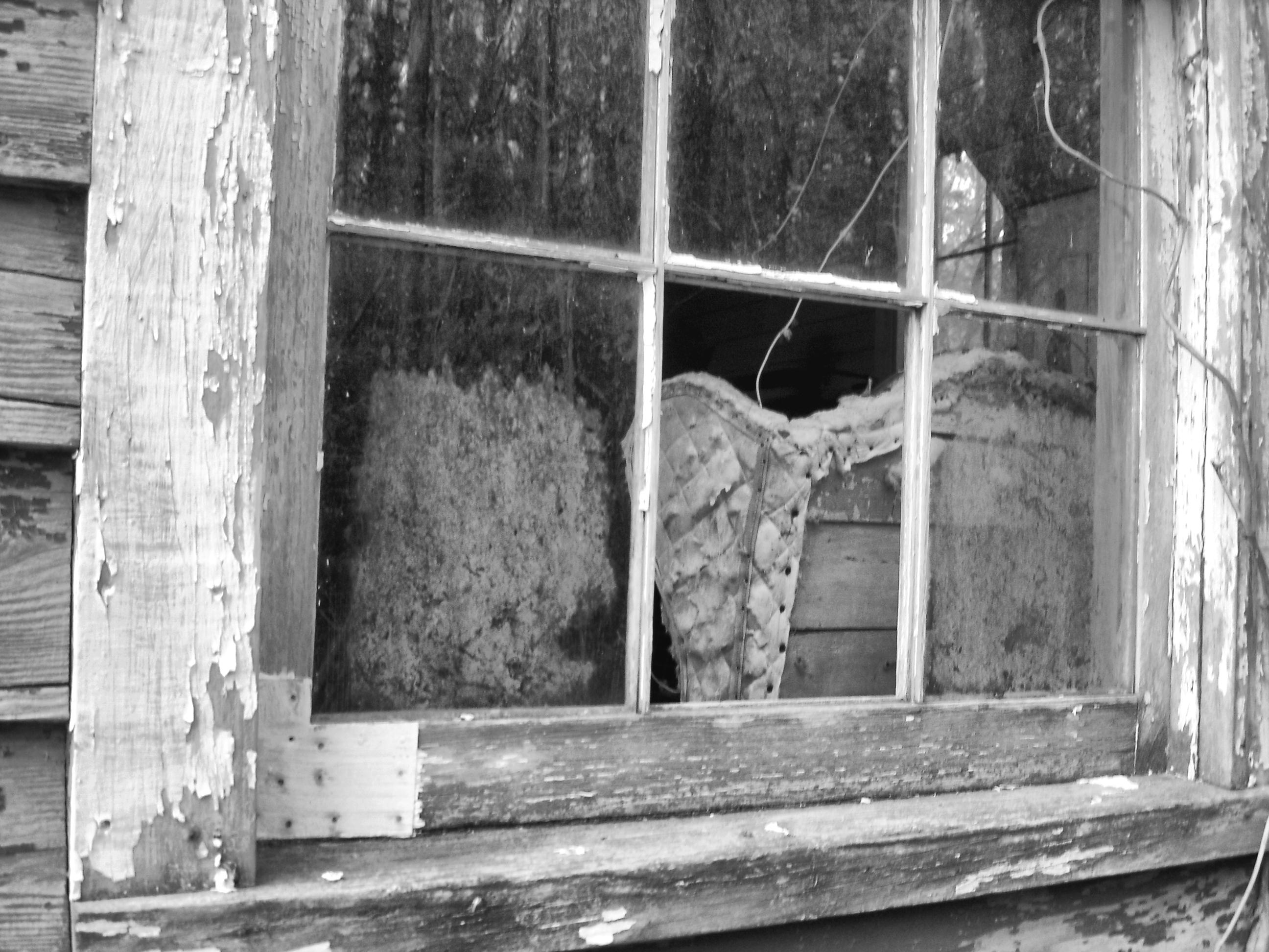
Looking at you through the glass...
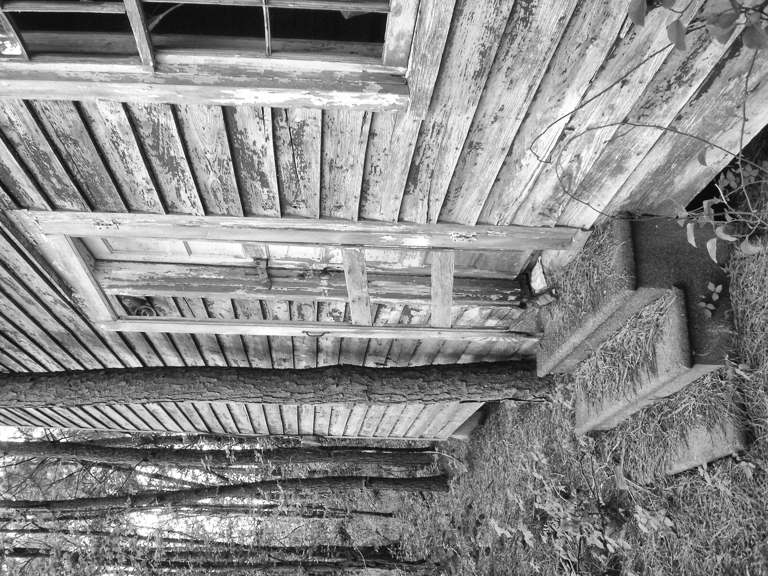
Watch your step
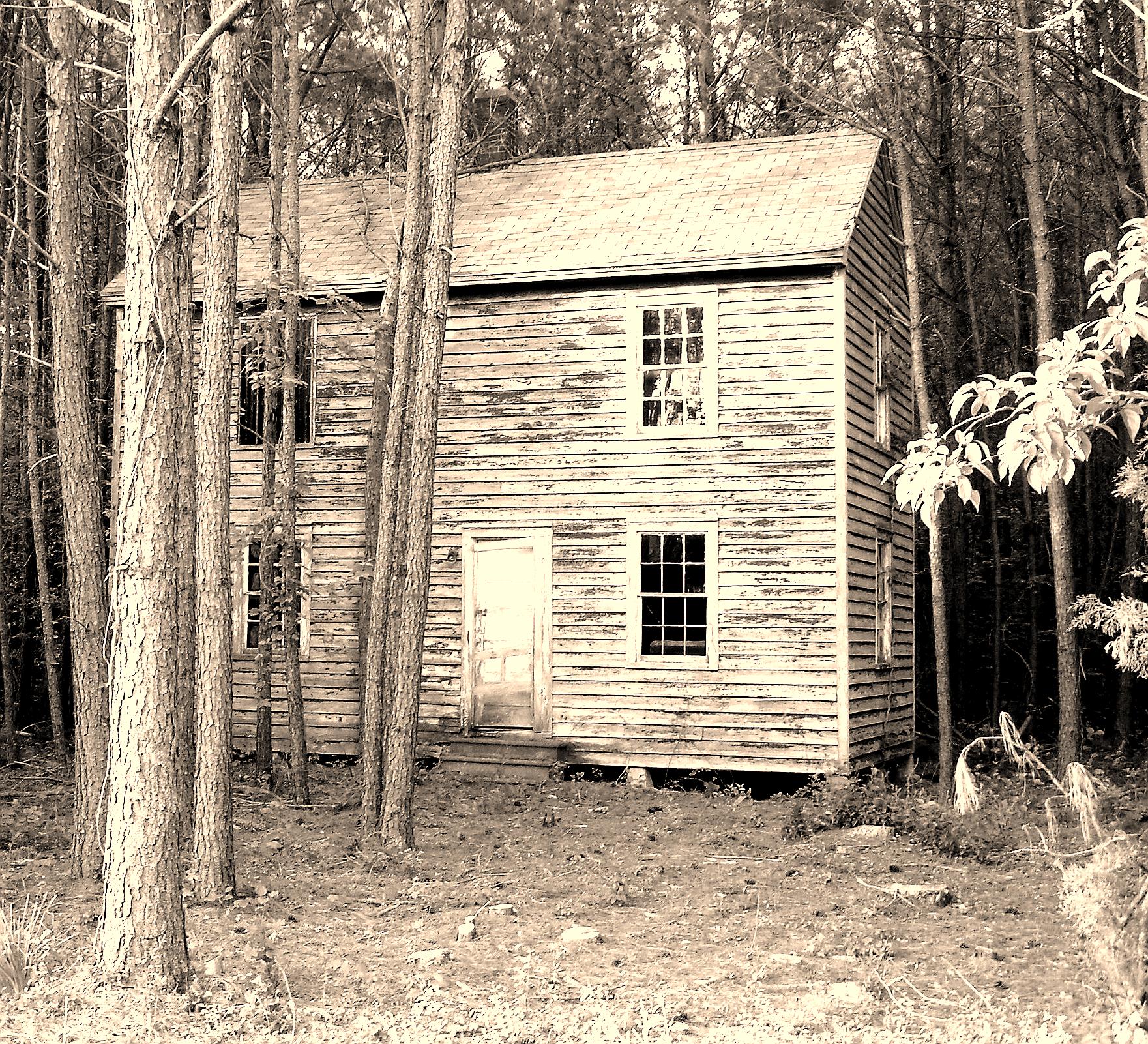
Tree house
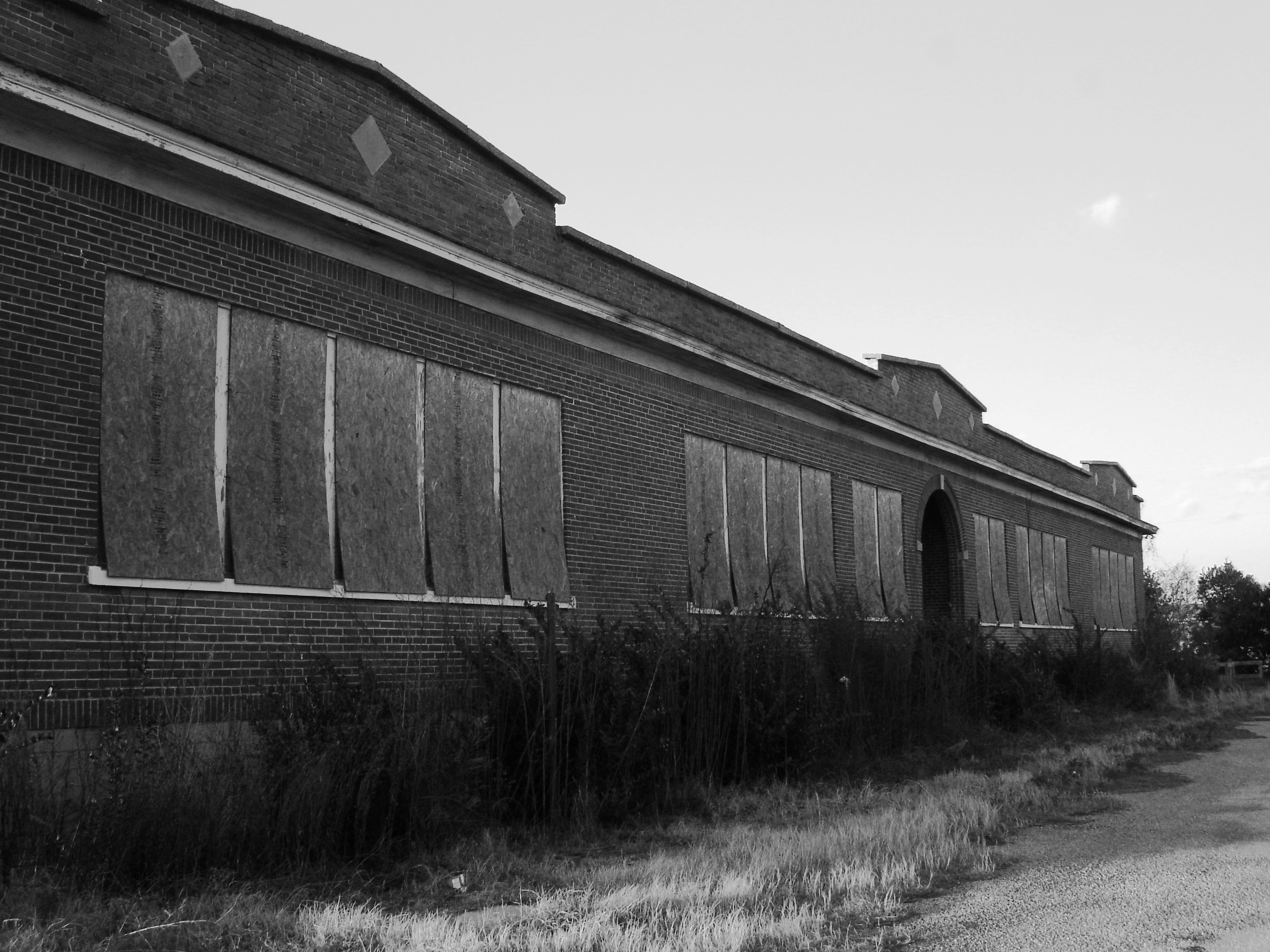
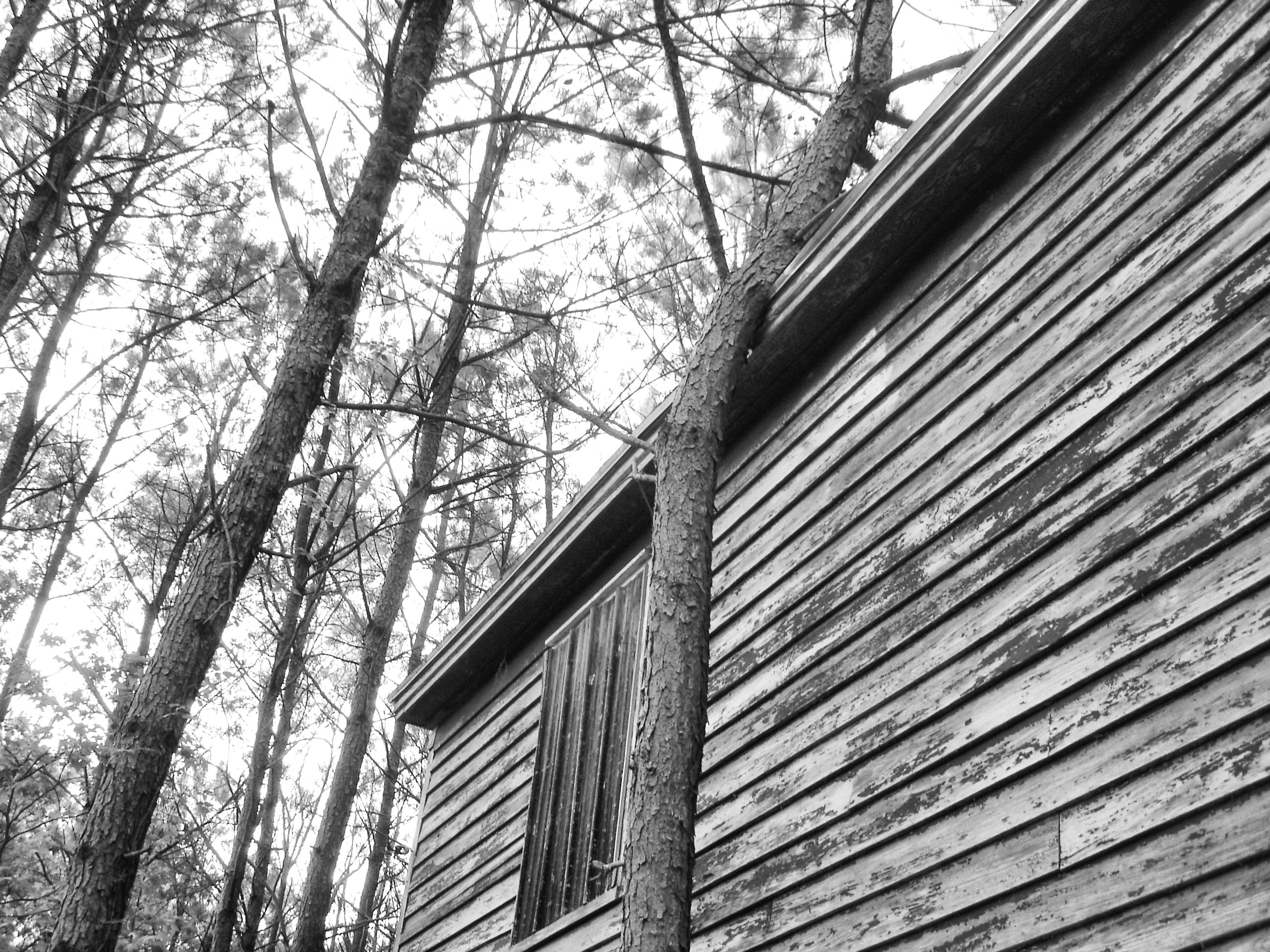
Exmore - Willis Wharf school

Melospiza melodia

Silver Beach Sunset over the Chesapeake

After the deluge (2)

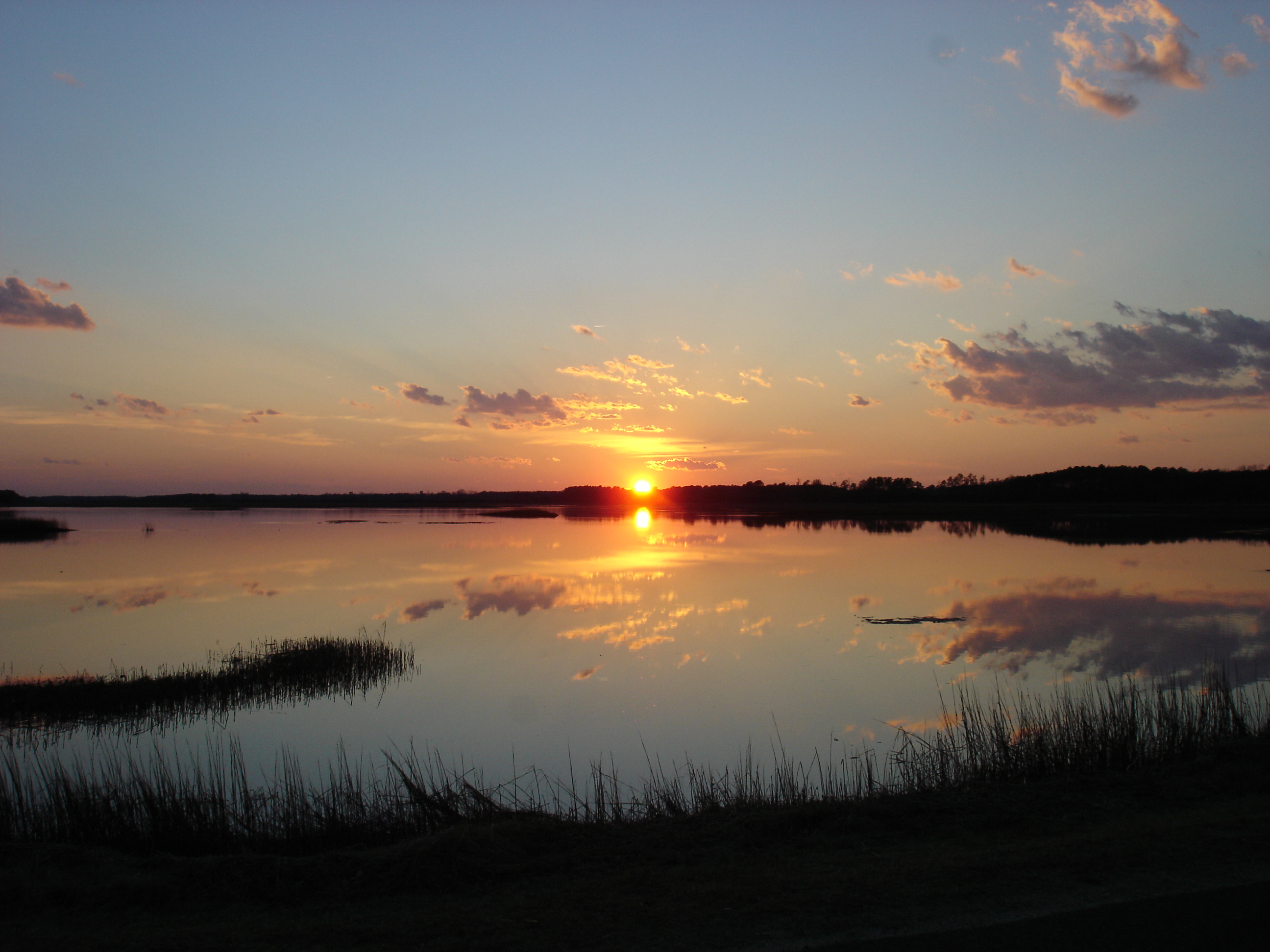
Sunset @ Nandua
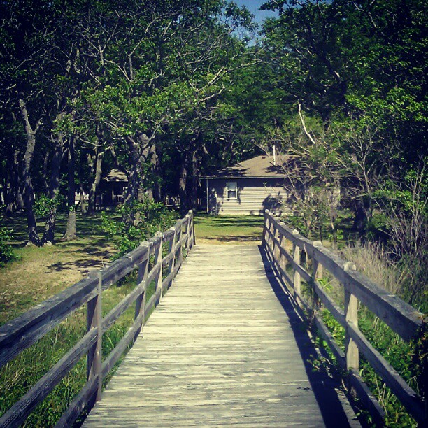
#nature #bridge

On the Water

Bridge to sunset
Eastern Shore Sunset
Topographic Map of Morley's Wharf Rd, Exmore, VA, USA
Find elevation by address:

Places near Morley's Wharf Rd, Exmore, VA, USA:
Unnamed Road
7139 Clearview Way
5, VA, USA
13923 Shields Bridge Rd
Craddockville
9, VA, USA
Cemetery Rd, Exmore, VA, USA
14193 Woodsfield Dr
6506 Occohannock Neck Rd
Craddock Neck
Old Neck Rd, Exmore, VA, USA
33113 N Craddocke Landing
36133 Belle Haven Rd
Shields Bridge Rd, Belle Haven, VA, USA
Exmore
Belle Haven
Jamesville Rd, Exmore, VA, USA
Jamesville
Myrtle Ave, Exmore, VA, USA
31478 Sunset Dr
Recent Searches:
- Elevation of Corso Fratelli Cairoli, 35, Macerata MC, Italy
- Elevation of Tallevast Rd, Sarasota, FL, USA
- Elevation of 4th St E, Sonoma, CA, USA
- Elevation of Black Hollow Rd, Pennsdale, PA, USA
- Elevation of Oakland Ave, Williamsport, PA, USA
- Elevation of Pedrógão Grande, Portugal
- Elevation of Klee Dr, Martinsburg, WV, USA
- Elevation of Via Roma, Pieranica CR, Italy
- Elevation of Tavkvetili Mountain, Georgia
- Elevation of Hartfords Bluff Cir, Mt Pleasant, SC, USA