Elevation of Seaside Rd, Cape Charles, VA, USA
Location: United States > Virginia > Northampton County > >
Longitude: -75.933569
Latitude: 37.302975
Elevation: 11m / 36feet
Barometric Pressure: 101KPa
Elevation Map:
Satellite Map:
Related Photos:

Music Room with a View !
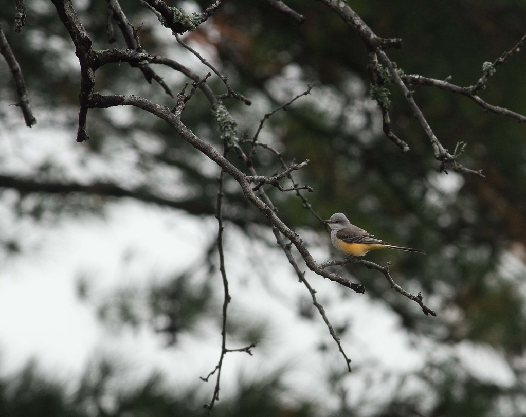
Scissor Tailed Flycatcher

Aerial view of the refuge
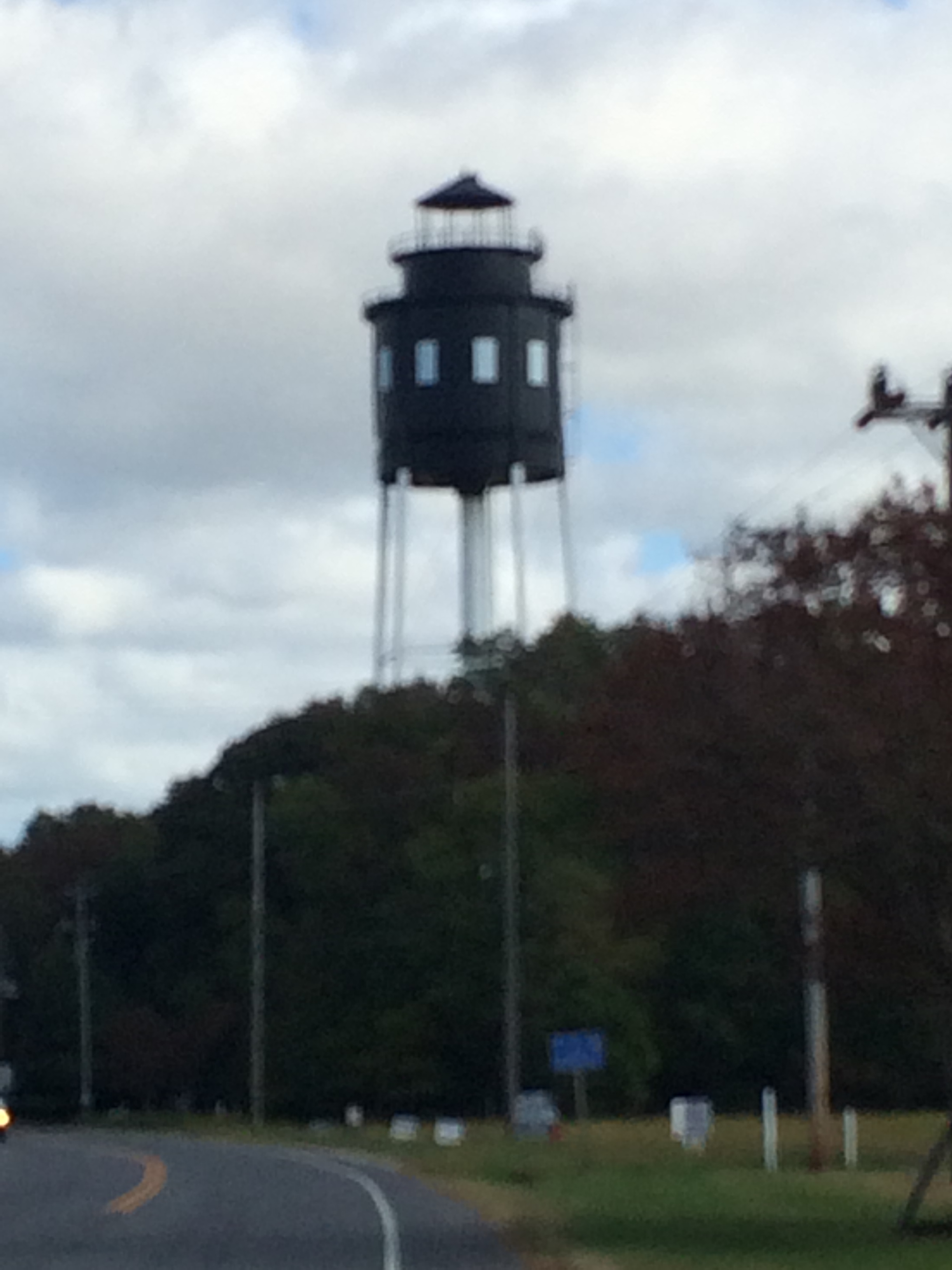
Cape Charles Lighthouse

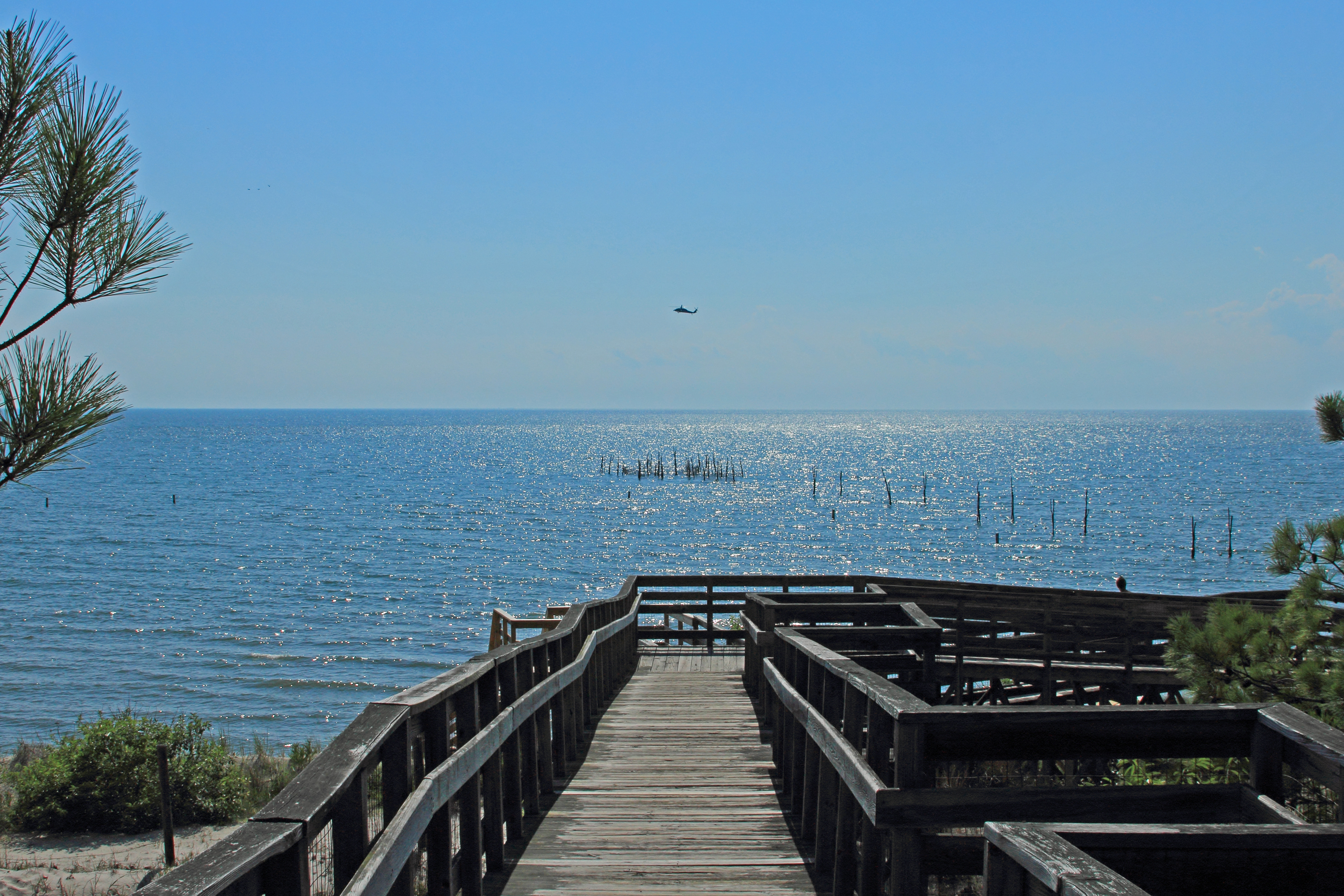
The view at Kiptopeke pier
View from the pier at Kiptopeke State Park
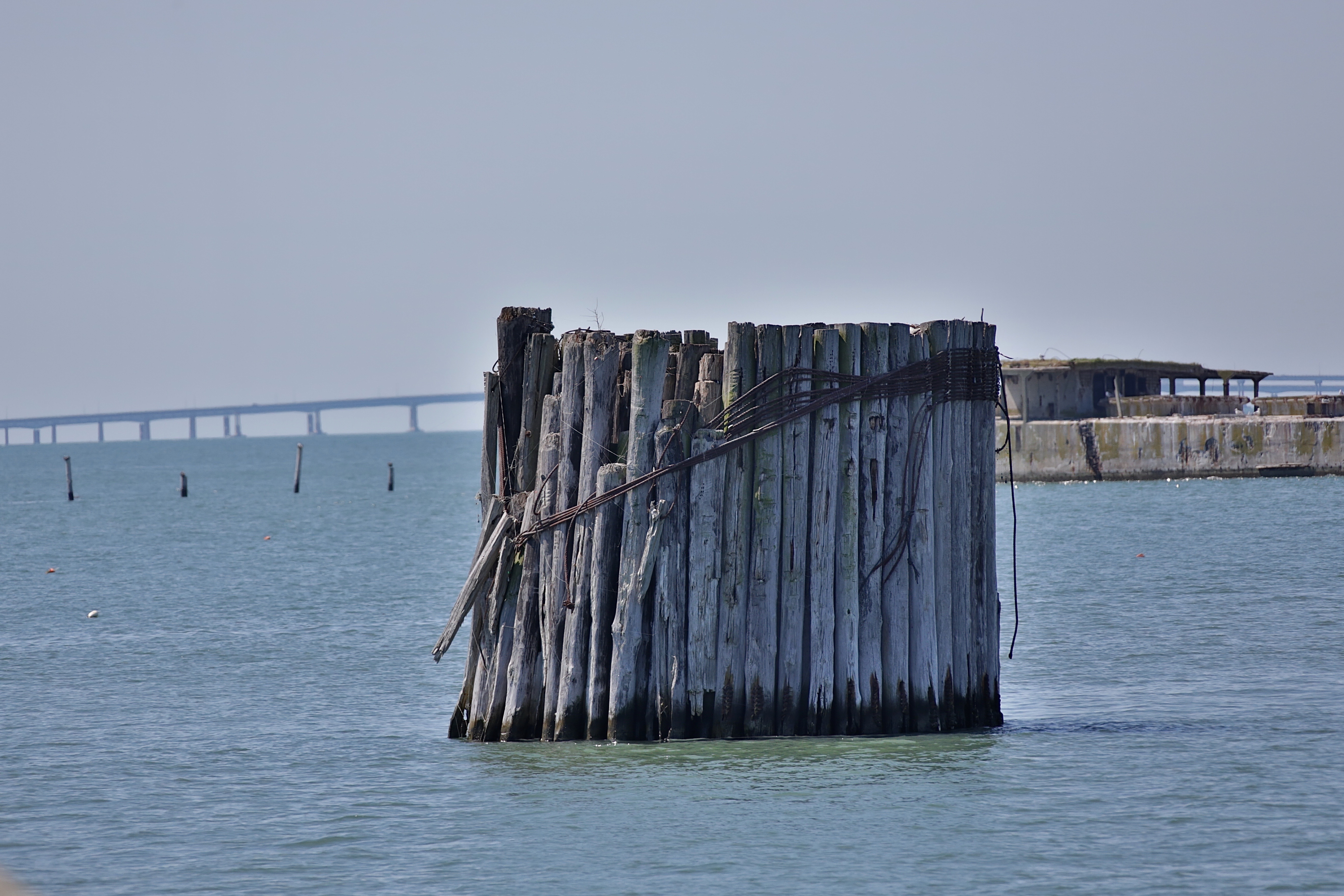
View from the pier at Kiptopeke State Park

Shorth of July-4323

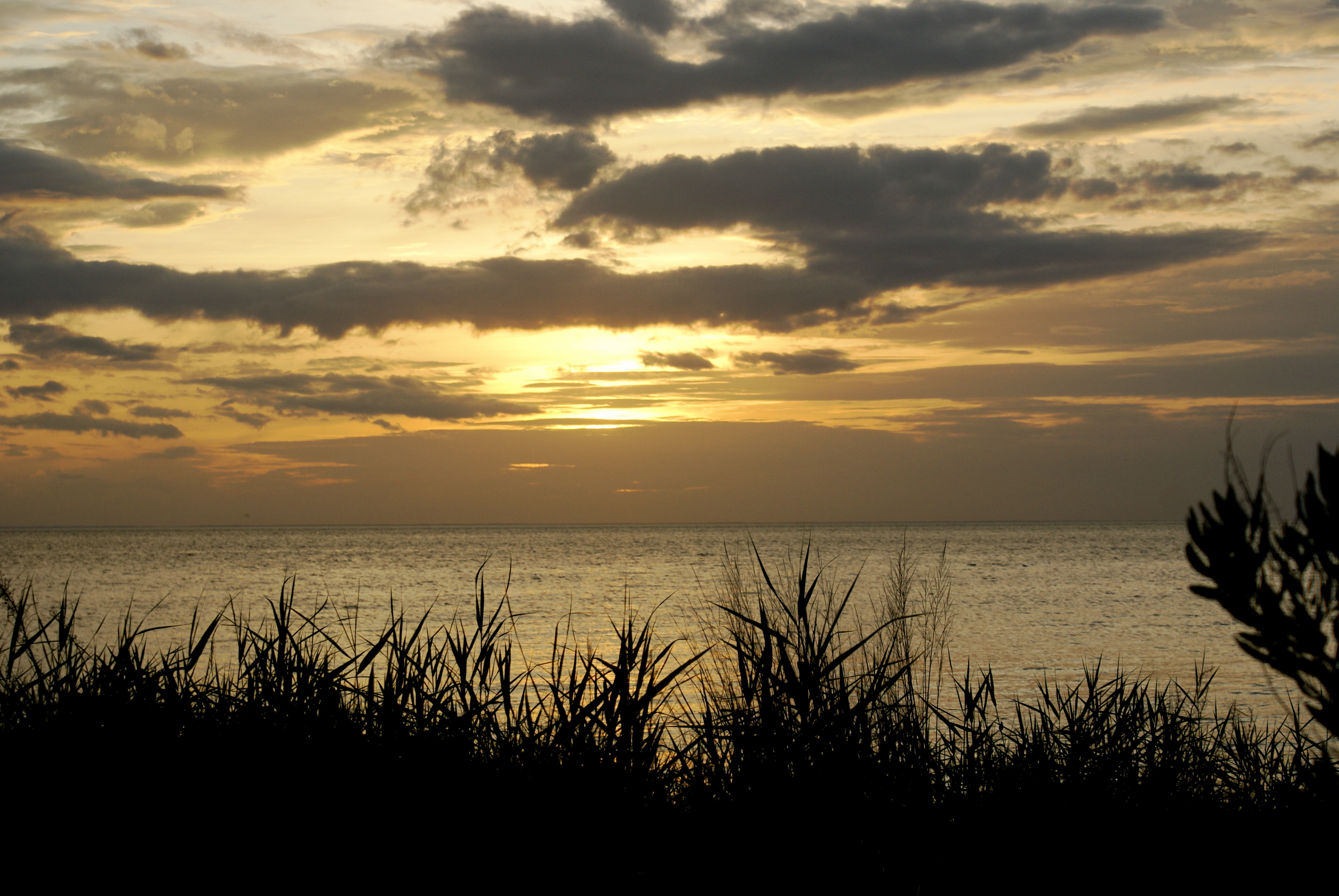
Before Sunset

Eastern Shore of Virginia National Wildlife Refuge
View from Bald Eagle Bluff Overlook/Boardwalk

Common Buckeyes

The view from the moon.
In our rear view
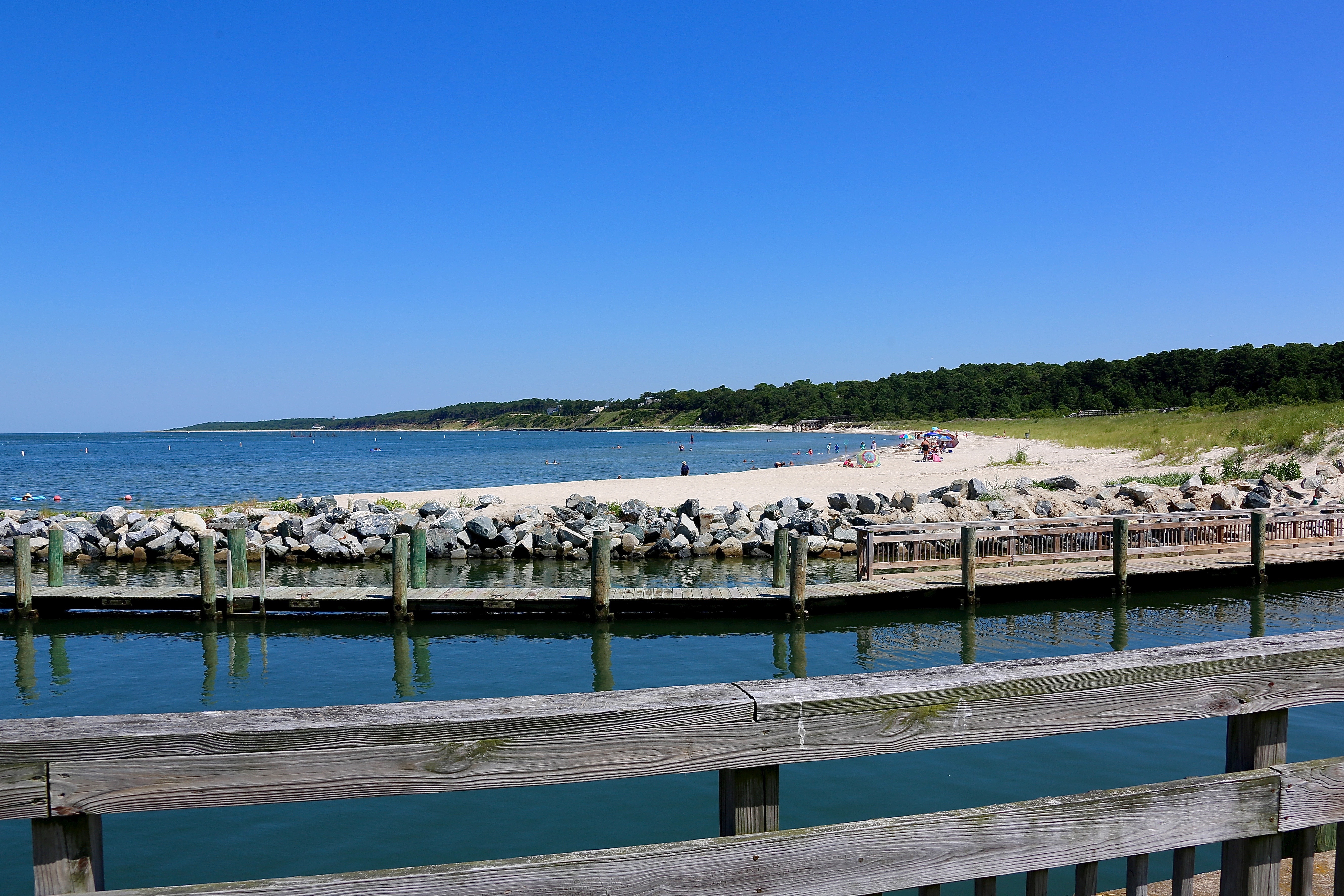
A day at the beach
DSC05925.JPG

DSC05938.JPG

2013-09-22_20-08-23
Topographic Map of Seaside Rd, Cape Charles, VA, USA
Find elevation by address:

Places near Seaside Rd, Cape Charles, VA, USA:
21247 Seaside Rd
Broadwater Cir, Cape Charles, VA, USA
Vincent Lane
U.s. 13
U.s. 13
Seaside Rd, Machipongo, VA, USA
Machipongo
9221 Thoreau Dr
Bayside Rd, Machipongo, VA, USA
8265 Birdsnest Dr
Birdsnest
Red Bank Rd, Birdsnest, VA, USA
Marionville
Nassawadox
Pine Tree Rd, Exmore, VA, USA
3, VA, USA
Jamesville
Jamesville Rd, Exmore, VA, USA
5, VA, USA
6506 Occohannock Neck Rd
Recent Searches:
- Elevation of Corso Fratelli Cairoli, 35, Macerata MC, Italy
- Elevation of Tallevast Rd, Sarasota, FL, USA
- Elevation of 4th St E, Sonoma, CA, USA
- Elevation of Black Hollow Rd, Pennsdale, PA, USA
- Elevation of Oakland Ave, Williamsport, PA, USA
- Elevation of Pedrógão Grande, Portugal
- Elevation of Klee Dr, Martinsburg, WV, USA
- Elevation of Via Roma, Pieranica CR, Italy
- Elevation of Tavkvetili Mountain, Georgia
- Elevation of Hartfords Bluff Cir, Mt Pleasant, SC, USA