Elevation of Scott Street, Scott St, Lexington, TN, USA
Location: United States > Tennessee > Henderson County > Lexington >
Longitude: -88.389721
Latitude: 35.6814545
Elevation: 178m / 584feet
Barometric Pressure: 99KPa
Elevation Map:
Satellite Map:
Related Photos:
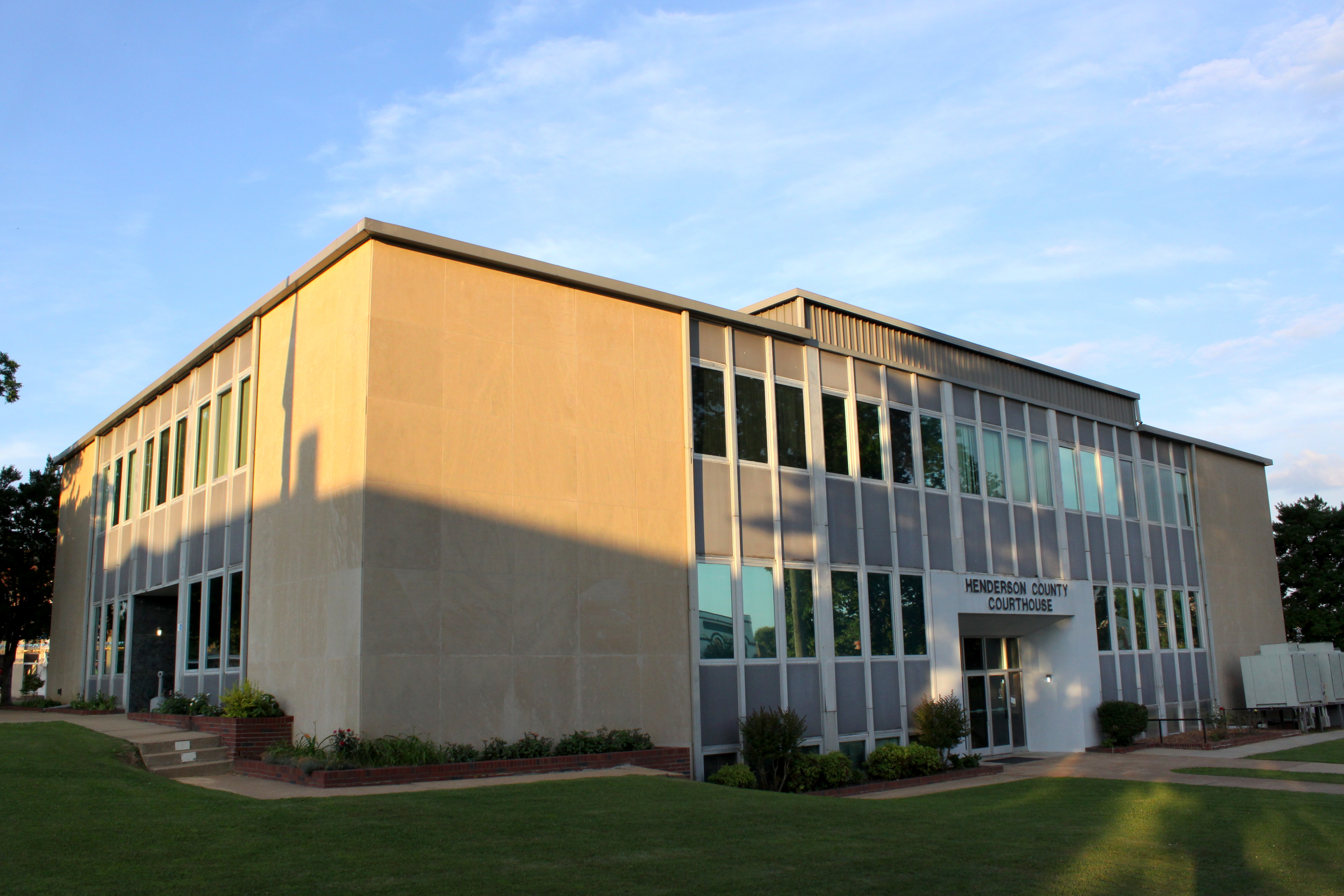
Henderson County Courthouse (corner view) - Lexington, TN

Henderson County, TN Courthouse - Lexington, TN

A Building in the Green

Last man standing #roadtoad #roadtoadphoto #falcontransport #tennesse #101
2014-05-26 11.57.37

20170507-ghost-river-paddle-warrior-06.29.03

Natchez Trace State Park - Cub Lake Trail - June 2, 2012
14C849BF-58FD-4AAB-9A8C-6E95AA38C4FA

4DAC97D6-C8D3-4C7F-AE3C-685A7CAFD98C
2CBCA050-79AA-4CFF-A1FA-4F225FD91CA3
New Zion Cemetery
09513BF3-2AC6-4F09-BBC3-B9FEBA6E65A9
Topographic Map of Scott Street, Scott St, Lexington, TN, USA
Find elevation by address:

Places near Scott Street, Scott St, Lexington, TN, USA:
500 Saddle Club Loop
Timberlake Rd, Lexington, TN, USA
Lexington
80 Skyline Dr
Henderson County
TN-, Lexington, TN, USA
8484 Tn-200
1109 Broadway Rd S
Parkers Crossroads
Pine Lake Road
5385 Tn-22 Alt
Turtle Creek Road
Yuma
415 Crum Rd
565 Crum Rd
TN-22, Clarksburg, TN, USA
Luray Rd, Beech Bluff, TN, USA
948 Tn-22 Alt
3298 Luray Rd
Luray
Recent Searches:
- Elevation of Leguwa, Nepal
- Elevation of County Rd, Enterprise, AL, USA
- Elevation of Kolchuginsky District, Vladimir Oblast, Russia
- Elevation of Shustino, Vladimir Oblast, Russia
- Elevation of Lampiasi St, Sarasota, FL, USA
- Elevation of Elwyn Dr, Roanoke Rapids, NC, USA
- Elevation of Congressional Dr, Stevensville, MD, USA
- Elevation of Bellview Rd, McLean, VA, USA
- Elevation of Stage Island Rd, Chatham, MA, USA
- Elevation of Shibuya Scramble Crossing, 21 Udagawacho, Shibuya City, Tokyo -, Japan