Elevation of Lexington, TN, USA
Location: United States > Tennessee > Henderson County >
Longitude: -88.393379
Latitude: 35.6509029
Elevation: 160m / 525feet
Barometric Pressure: 99KPa
Elevation Map:
Satellite Map:
Related Photos:
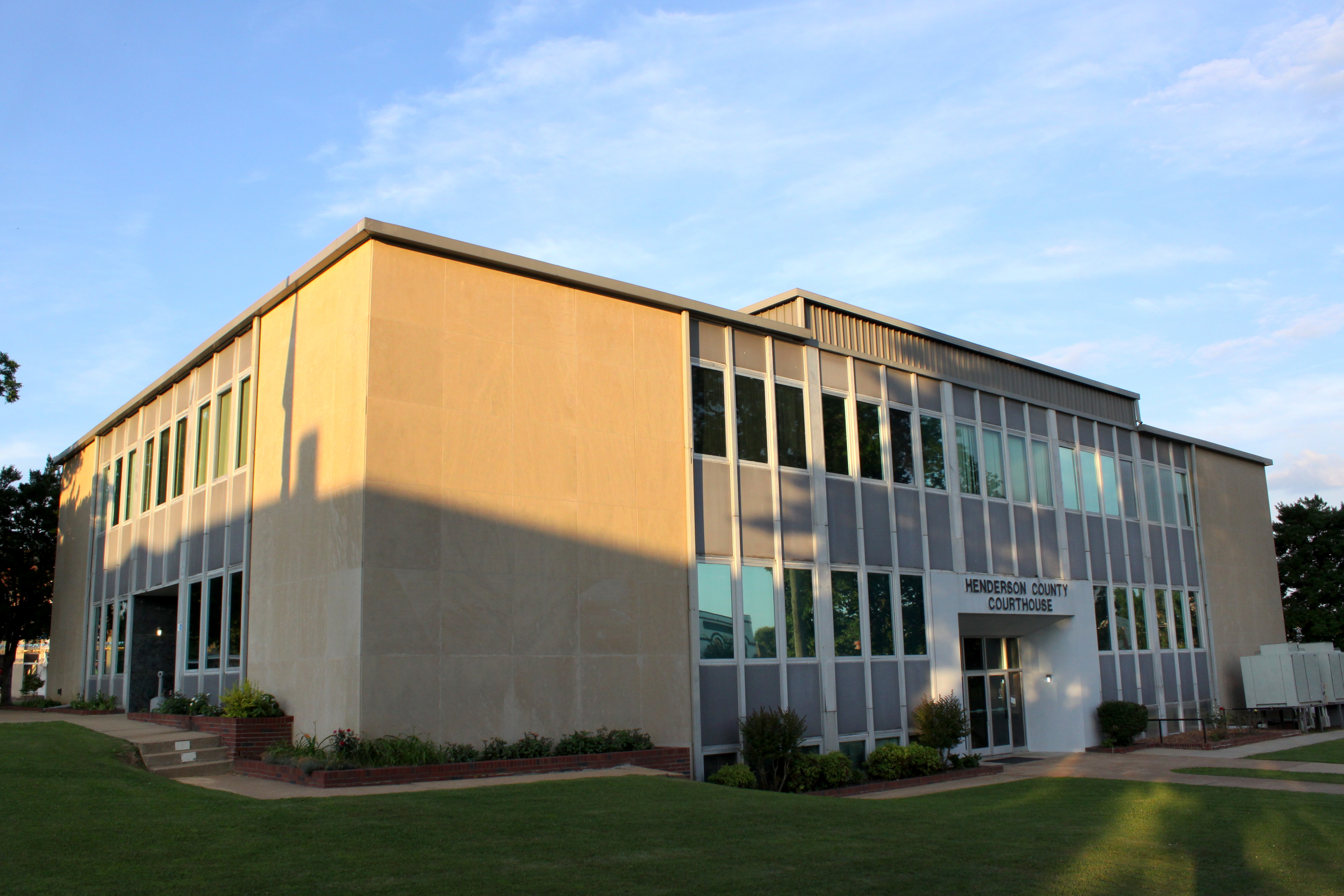
Henderson County Courthouse (corner view) - Lexington, TN

Henderson County, TN Courthouse - Lexington, TN

Tangled branches
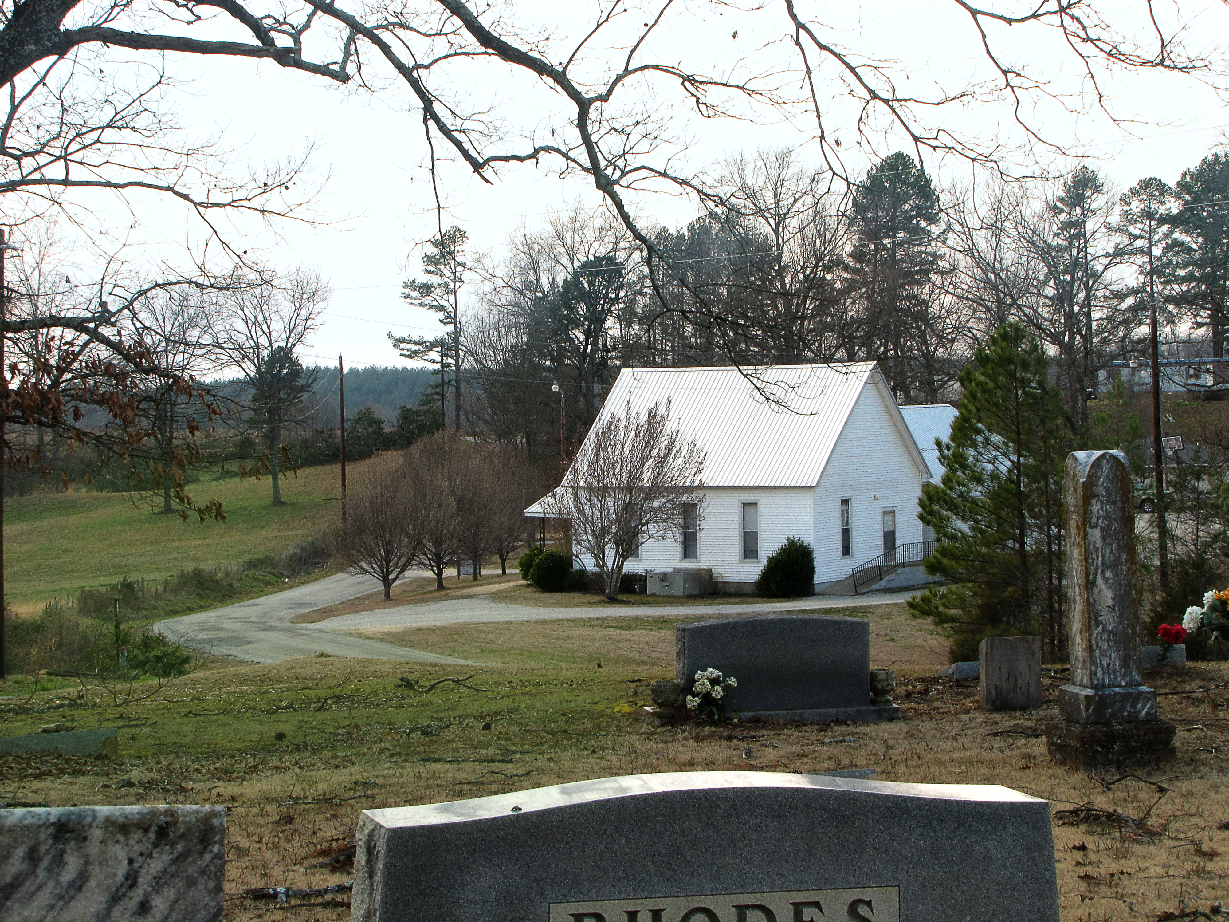
Church in the Valley

Last man standing #roadtoad #roadtoadphoto #falcontransport #tennesse #101
2014-05-26 12.13.43
2014-05-26 11.57.37

14C849BF-58FD-4AAB-9A8C-6E95AA38C4FA

8408210F-FE8C-4B12-B398-9A65F236D7D0
09513BF3-2AC6-4F09-BBC3-B9FEBA6E65A9

4DAC97D6-C8D3-4C7F-AE3C-685A7CAFD98C
2CBCA050-79AA-4CFF-A1FA-4F225FD91CA3

Vacation 903
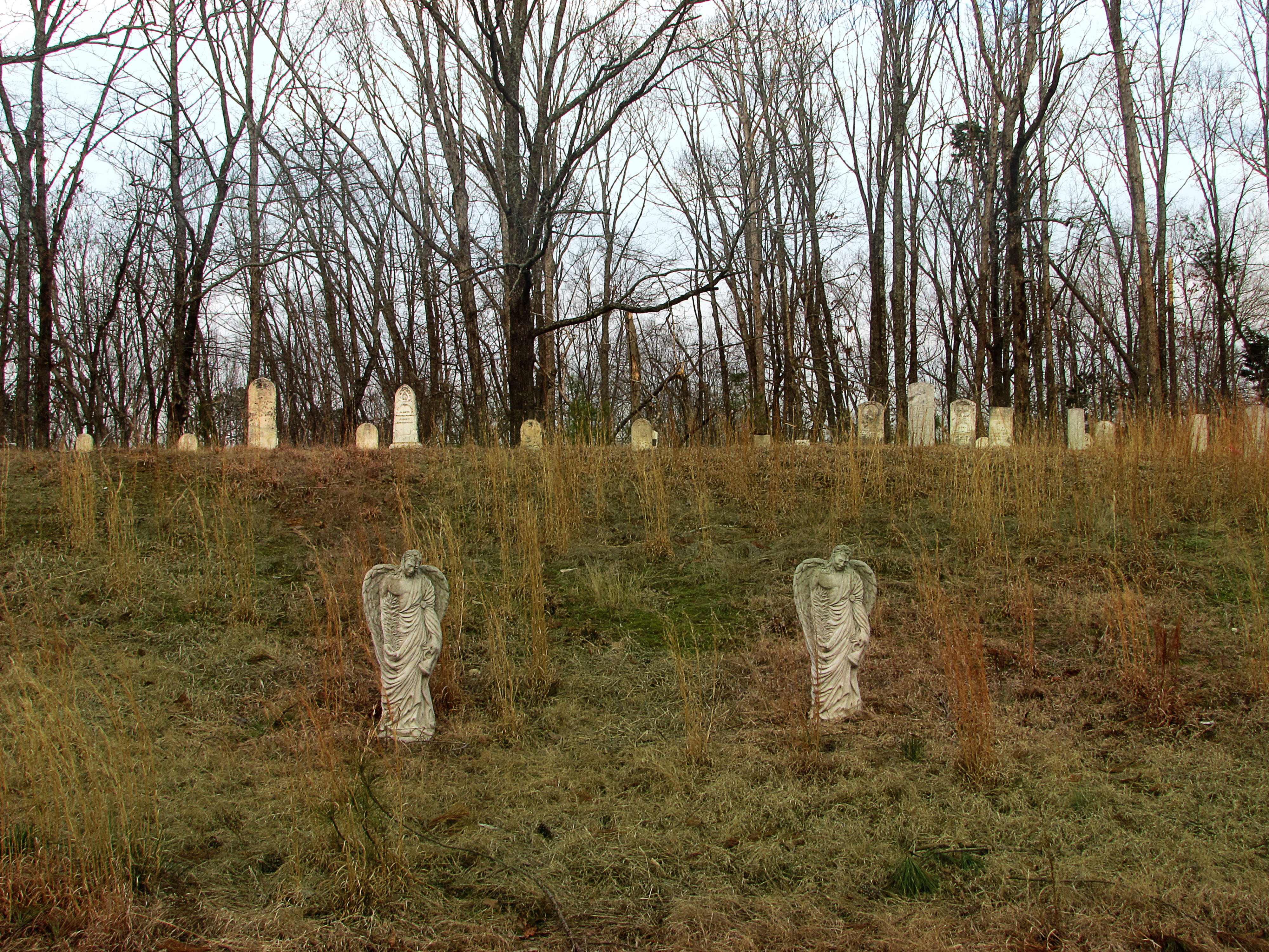
New Zion Cemetery
Topographic Map of Lexington, TN, USA
Find elevation by address:

Places in Lexington, TN, USA:
Timberlake Rd, Lexington, TN, USA
TN-, Lexington, TN, USA
Scott Street
Pine Lake Road
Turtle Creek Road
Places near Lexington, TN, USA:
Henderson County
80 Skyline Dr
Scott Street
500 Saddle Club Loop
TN-, Lexington, TN, USA
Timberlake Rd, Lexington, TN, USA
8484 Tn-200
1109 Broadway Rd S
Pine Lake Road
5385 Tn-22 Alt
Parkers Crossroads
Turtle Creek Road
948 Tn-22 Alt
Luray Rd, Beech Bluff, TN, USA
3298 Luray Rd
Luray
Scotts Hill
Sand Mountain Road
Yuma
3670 Grove Springs Rd
Recent Searches:
- Elevation of Sattva Horizon, 4JC6+G9P, Vinayak Nagar, Kattigenahalli, Bengaluru, Karnataka, India
- Elevation of Great Brook Sports, Gold Star Hwy, Groton, CT, USA
- Elevation of 10 Mountain Laurels Dr, Nashua, NH, USA
- Elevation of 16 Gilboa Ln, Nashua, NH, USA
- Elevation of Laurel Rd, Townsend, TN, USA
- Elevation of 3 Nestling Wood Dr, Long Valley, NJ, USA
- Elevation of Ilungu, Tanzania
- Elevation of Yellow Springs Road, Yellow Springs Rd, Chester Springs, PA, USA
- Elevation of Rēzekne Municipality, Latvia
- Elevation of Plikpūrmaļi, Vērēmi Parish, Rēzekne Municipality, LV-, Latvia