Elevation of Henderson County, TN, USA
Location: United States > Tennessee >
Longitude: -88.401604
Latitude: 35.6427245
Elevation: 146m / 479feet
Barometric Pressure: 100KPa
Elevation Map:
Satellite Map:
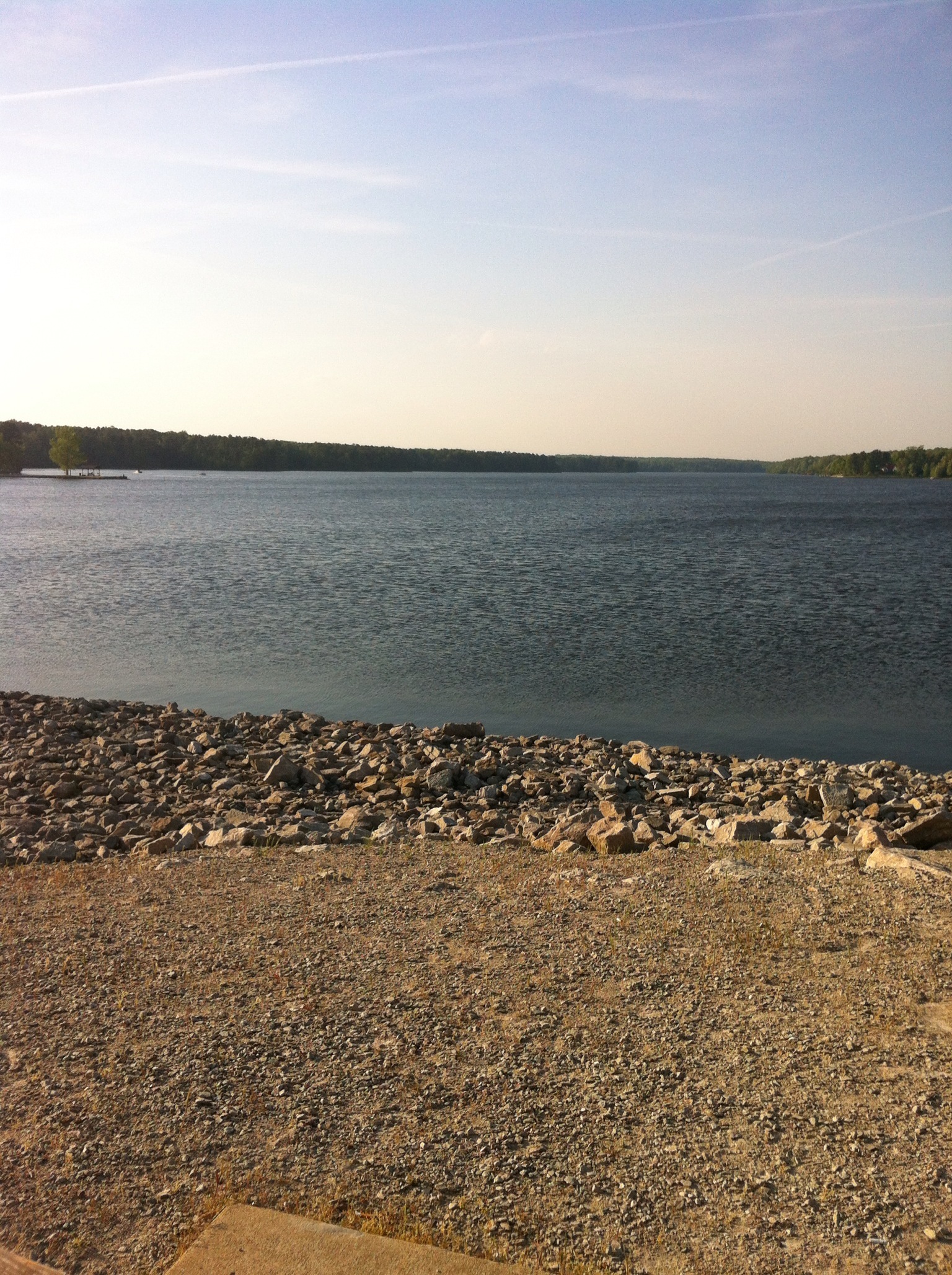
Related Photos:

Henderson County, TN Courthouse - Lexington, TN

Tangled branches

Henderson County Courthouse (corner view) - Lexington, TN

Church in the Valley

14C849BF-58FD-4AAB-9A8C-6E95AA38C4FA

8408210F-FE8C-4B12-B398-9A65F236D7D0

09513BF3-2AC6-4F09-BBC3-B9FEBA6E65A9

4DAC97D6-C8D3-4C7F-AE3C-685A7CAFD98C
2CBCA050-79AA-4CFF-A1FA-4F225FD91CA3

New Zion Cemetery
Topographic Map of Henderson County, TN, USA
Find elevation by address:

Places in Henderson County, TN, USA:
Places near Henderson County, TN, USA:
Lexington
80 Skyline Dr
Scott Street
500 Saddle Club Loop
8484 Tn-200
TN-, Lexington, TN, USA
1109 Broadway Rd S
Timberlake Rd, Lexington, TN, USA
Pine Lake Road
5385 Tn-22 Alt
Turtle Creek Road
Parkers Crossroads
948 Tn-22 Alt
Luray Rd, Beech Bluff, TN, USA
3298 Luray Rd
Luray
Sand Mountain Road
3670 Grove Springs Rd
2690 Grove Springs Rd
Scotts Hill
Recent Searches:
- Elevation of Corso Fratelli Cairoli, 35, Macerata MC, Italy
- Elevation of Tallevast Rd, Sarasota, FL, USA
- Elevation of 4th St E, Sonoma, CA, USA
- Elevation of Black Hollow Rd, Pennsdale, PA, USA
- Elevation of Oakland Ave, Williamsport, PA, USA
- Elevation of Pedrógão Grande, Portugal
- Elevation of Klee Dr, Martinsburg, WV, USA
- Elevation of Via Roma, Pieranica CR, Italy
- Elevation of Tavkvetili Mountain, Georgia
- Elevation of Hartfords Bluff Cir, Mt Pleasant, SC, USA