Elevation of Luray Rd, Beech Bluff, TN, USA
Location: United States > Tennessee > Henderson County > Beech Bluff >
Longitude: -88.56824
Latitude: 35.605146
Elevation: 151m / 495feet
Barometric Pressure: 100KPa
Elevation Map:
Satellite Map:
Related Photos:
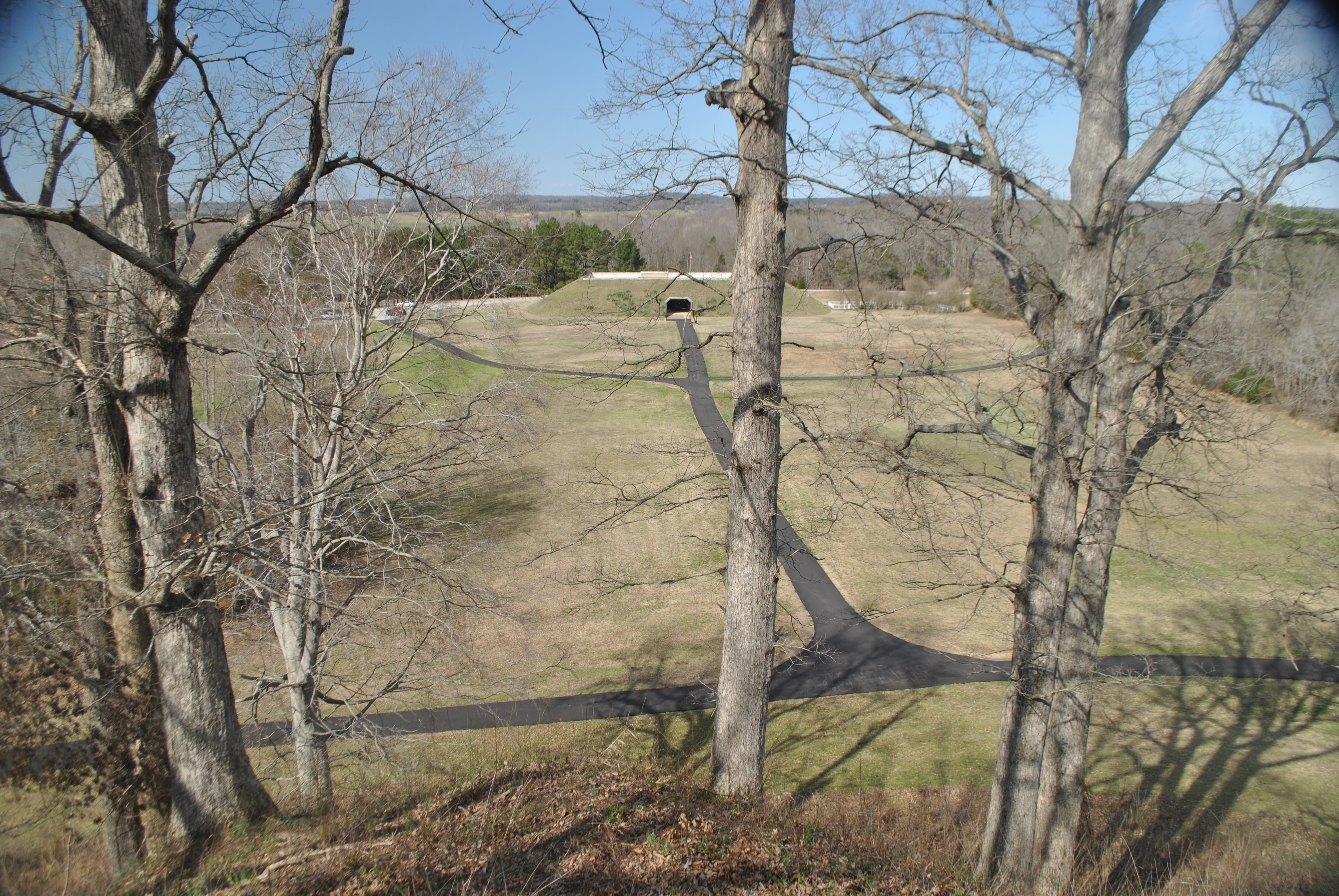
View from Saul's Mound

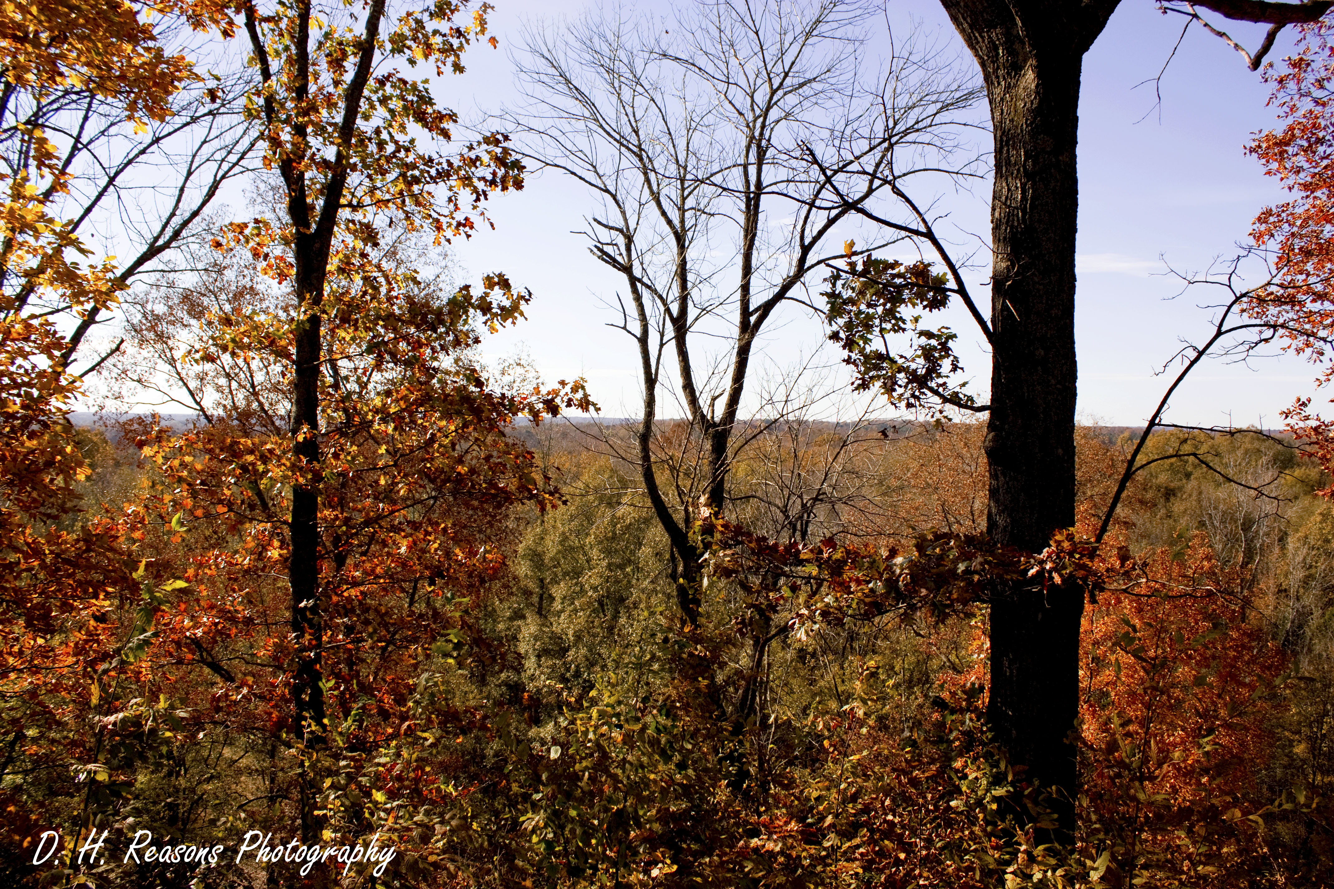
Tangled branches
View from top of Sauls Mound
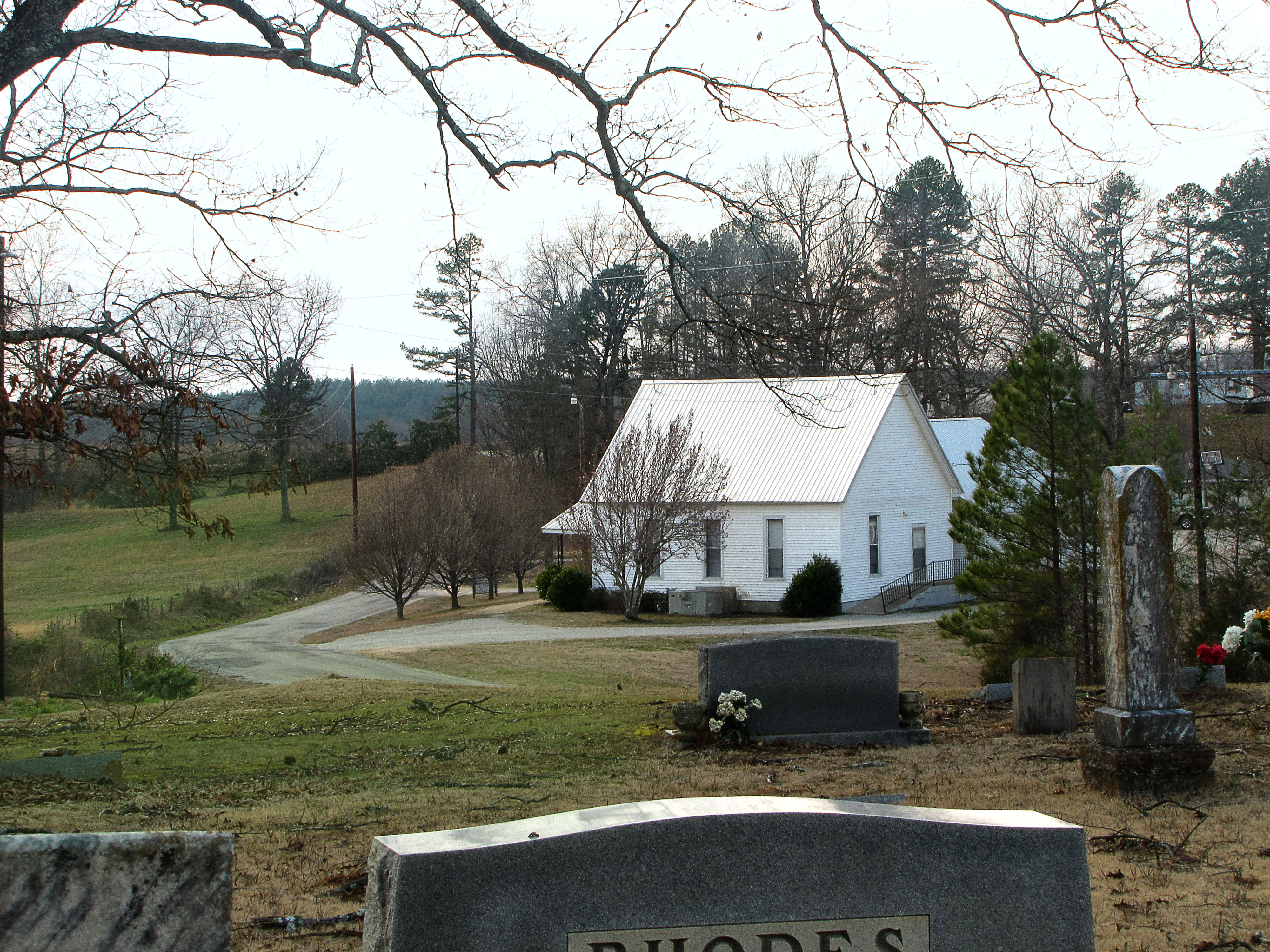
Church in the Valley

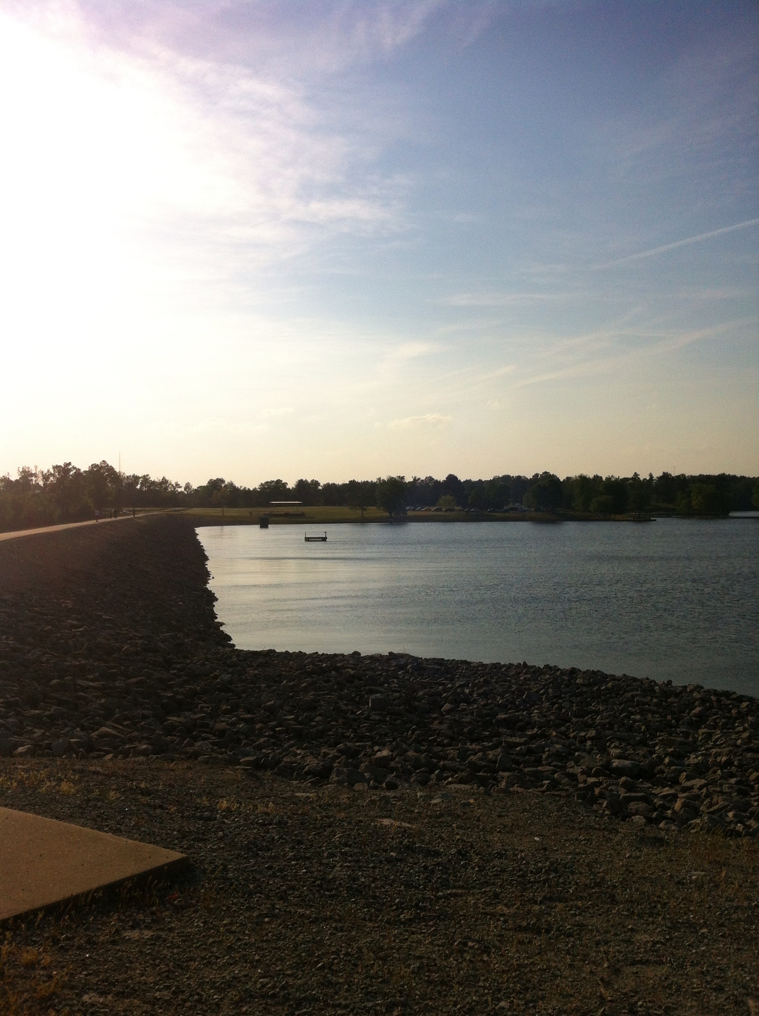
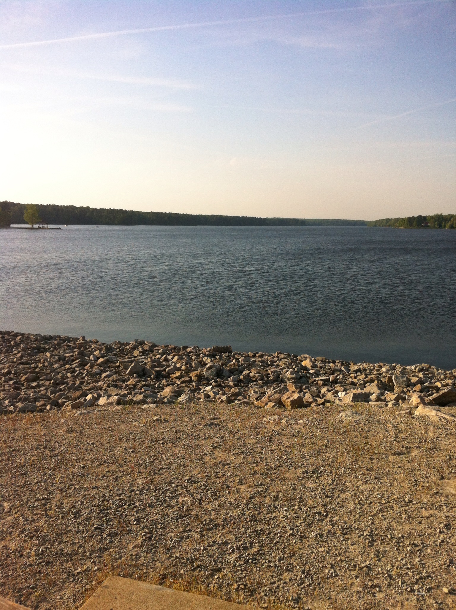
A Pond in the Sun

Somewhere between Memphis and Nashville

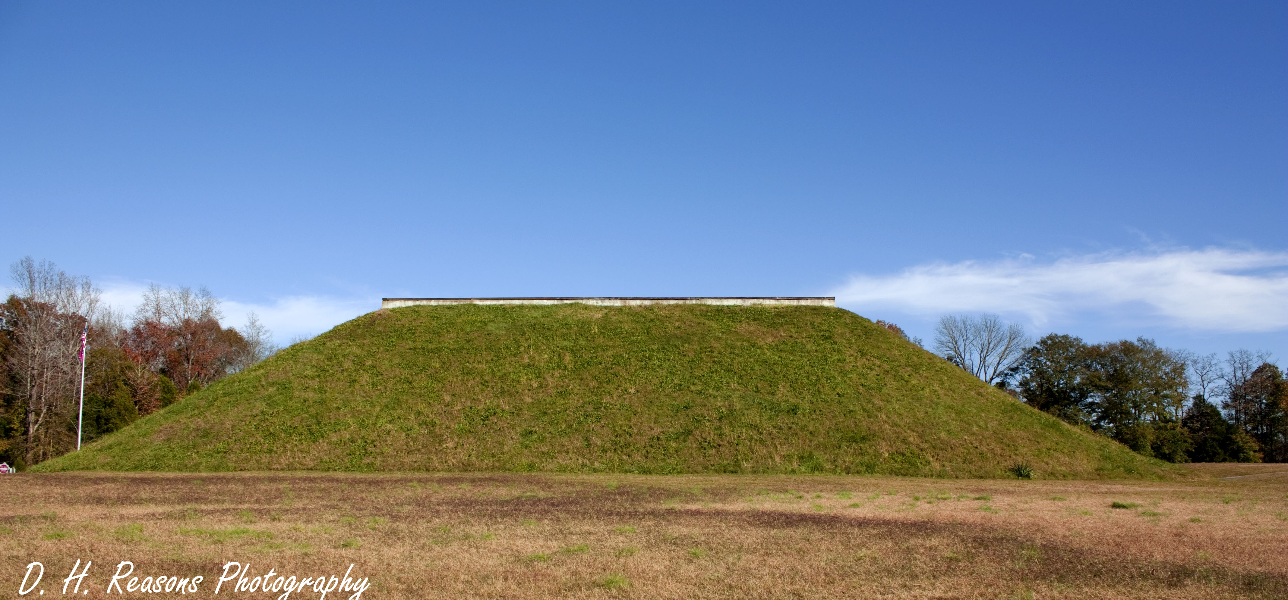
Pinson Mounds State Park
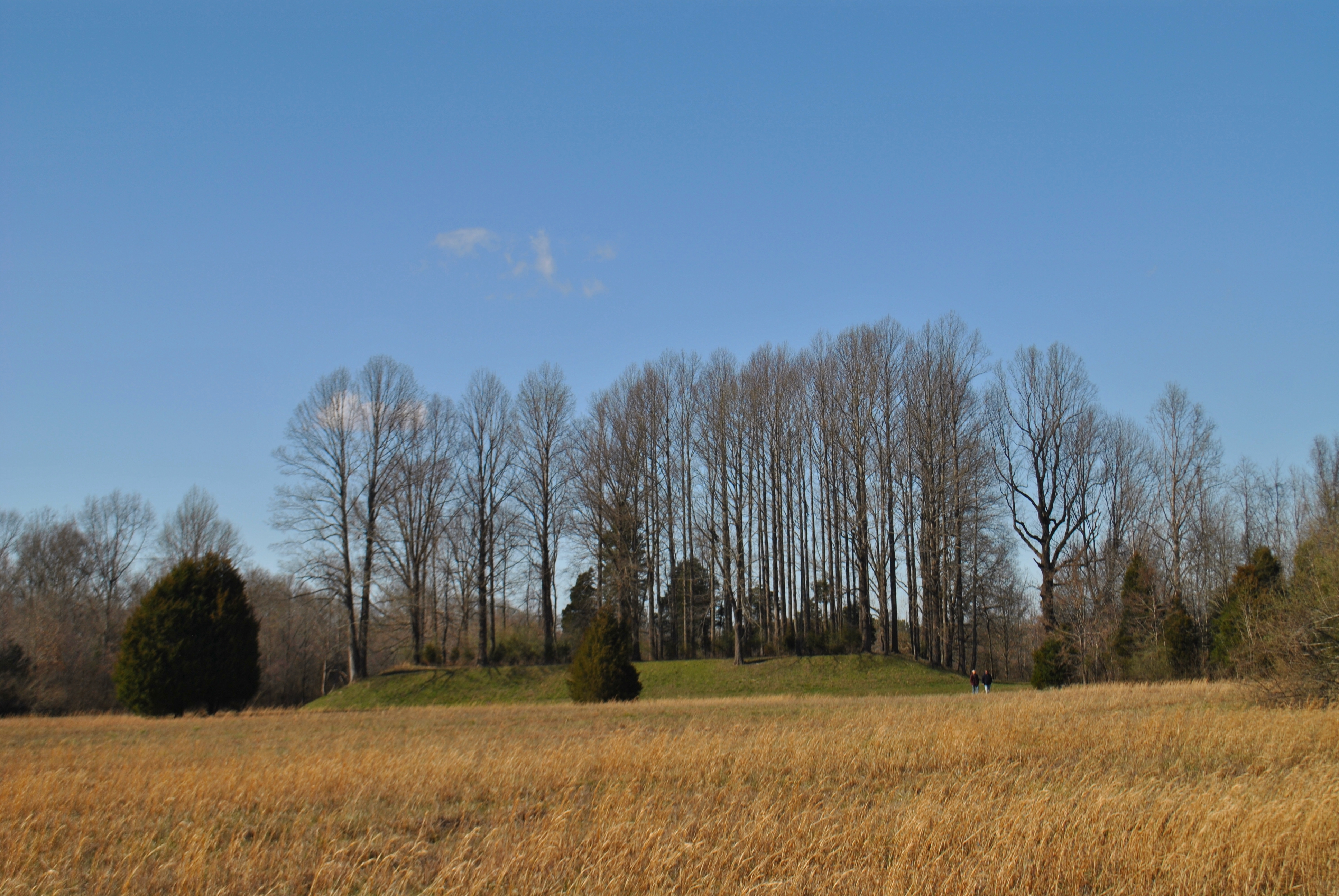
Mound 28

14C849BF-58FD-4AAB-9A8C-6E95AA38C4FA
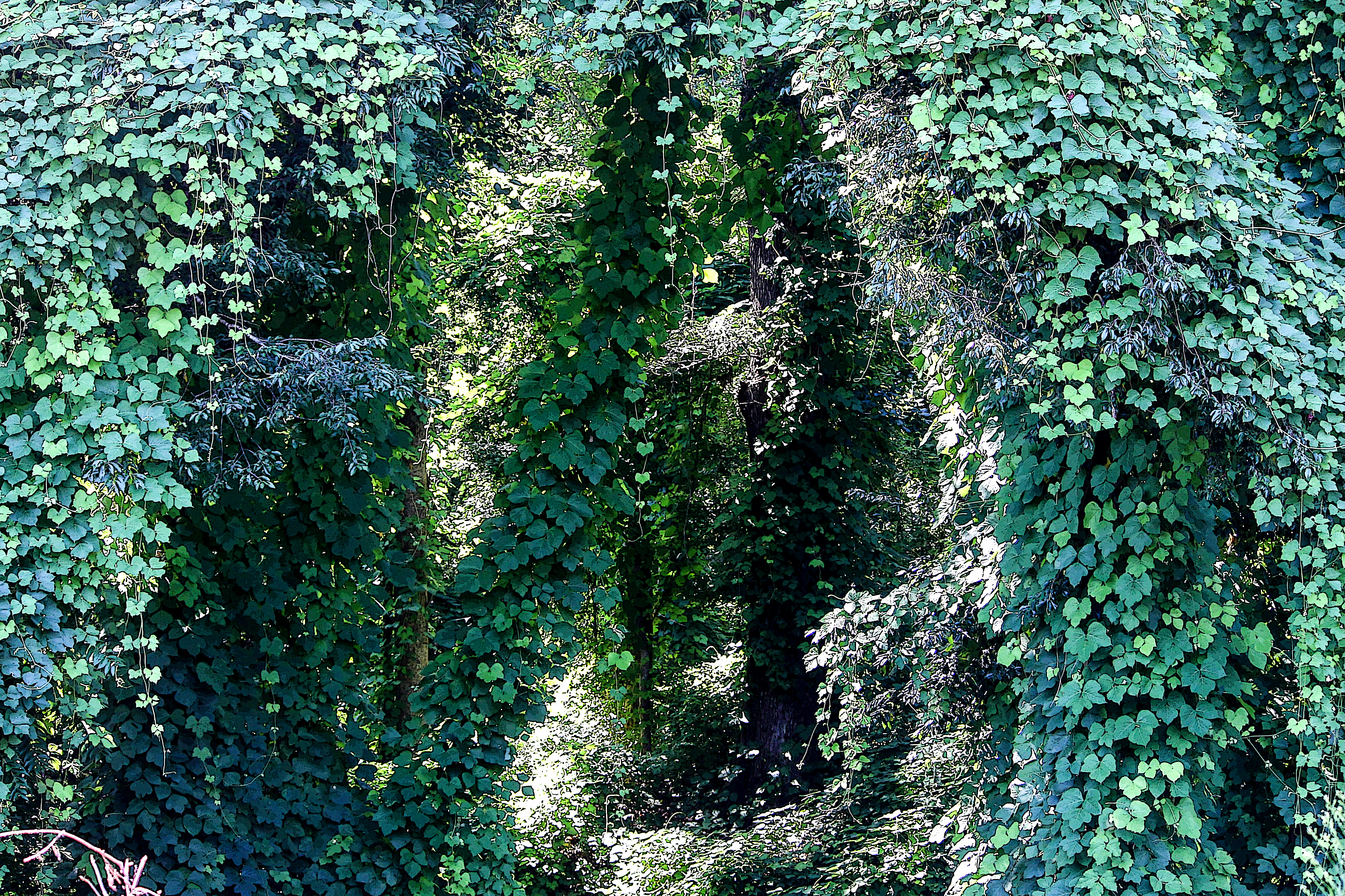
Kudzu Tunnel

8408210F-FE8C-4B12-B398-9A65F236D7D0
Pinson Mounds Park Museum
09513BF3-2AC6-4F09-BBC3-B9FEBA6E65A9

4DAC97D6-C8D3-4C7F-AE3C-685A7CAFD98C
2CBCA050-79AA-4CFF-A1FA-4F225FD91CA3
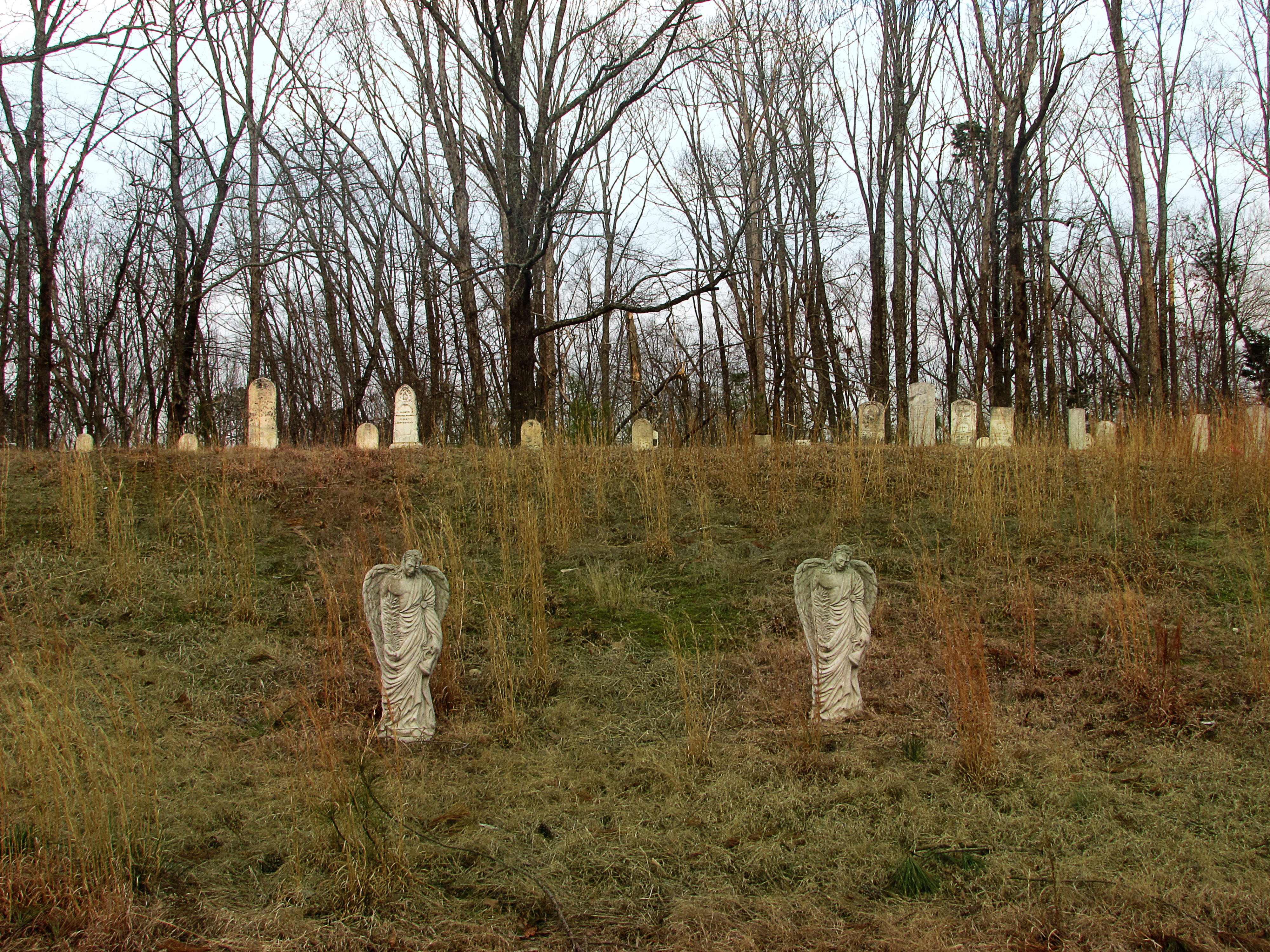
New Zion Cemetery

Pinson Mounds - Sauls Mound in Sunlight
Topographic Map of Luray Rd, Beech Bluff, TN, USA
Find elevation by address:

Places near Luray Rd, Beech Bluff, TN, USA:
Luray Rd, Beech Bluff, TN, USA
Luray
Turtle Creek Road
1109 Broadway Rd S
948 Tn-22 Alt
8484 Tn-200
5385 Tn-22 Alt
Jacks Creek
TN-, Lexington, TN, USA
80 Skyline Dr
Henderson County
Sand Mountain Road
145 Kenny Terry Ln
Lexington
Pine Lake Road
Scott Street
Timberlake Rd, Lexington, TN, USA
500 Saddle Club Loop
1440 Tar Creek Rd
2690 Grove Springs Rd
Recent Searches:
- Elevation of Sattva Horizon, 4JC6+G9P, Vinayak Nagar, Kattigenahalli, Bengaluru, Karnataka, India
- Elevation of Great Brook Sports, Gold Star Hwy, Groton, CT, USA
- Elevation of 10 Mountain Laurels Dr, Nashua, NH, USA
- Elevation of 16 Gilboa Ln, Nashua, NH, USA
- Elevation of Laurel Rd, Townsend, TN, USA
- Elevation of 3 Nestling Wood Dr, Long Valley, NJ, USA
- Elevation of Ilungu, Tanzania
- Elevation of Yellow Springs Road, Yellow Springs Rd, Chester Springs, PA, USA
- Elevation of Rēzekne Municipality, Latvia
- Elevation of Plikpūrmaļi, Vērēmi Parish, Rēzekne Municipality, LV-, Latvia