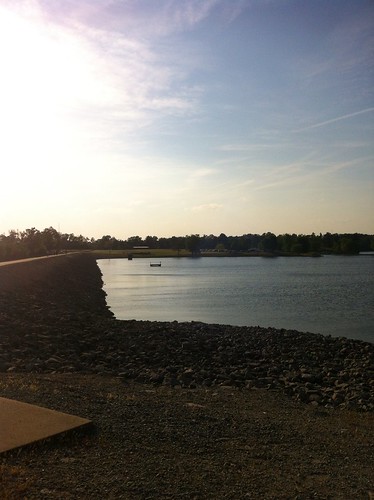
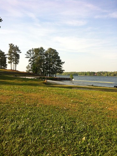
Elevation of 80 Skyline Dr, Lexington, TN, USA

Location: United States > Tennessee > Henderson County > Lexington >

Longitude: -88.422663

Latitude: 35.6584929

Elevation: 137m / 449feet

Barometric Pressure: 100KPa

Elevation Map:

elevation map of 80 Skyline Dr, Lexington, TN, USA

Satellite Map:

Satellite map of 80 Skyline Dr, Lexington, TN, USA

Related Photos:

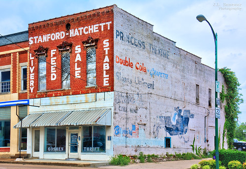
jlrphotography nikond5200 nikon d5200 photography lexingtontn westtennessee hendersoncounty tennessee 2015 engineerswithcameras stanfordhatchettbuilding photographyforgod thesouth southernphotography screamofthephotographer ibeauty jlramsaurphotography lexington tennesseephotographer lexingtontennessee oldmasoniclodge lexingtongazette princesstheatre stanfordhatchettliveryfeedstorestable goshenthriftstore princesstheaterghostsign doublecolagrapetteghostsign sloanslinamentghostsign grovesghostsign bluebirdghostsign vintagemodeltconvertibleghostsign sign signage it’sasign signssigns iloveoldsigns oldsignage vintagesign retrosign oldsign vintagesignage retrosignage faded fadedsignage fadedsign iseeasign signcity ghostsign fadedghostsign historicbuilding history historic tennesseehistory historyisallaroundus americanrelics fadingamerica it’saretroworldafterall oldandbeautiful vanishingamerica abandoned abandonedplacesandthings abandonedneglectedweatheredorrusty nowdestroyed lost lostforever
Former Stanford-Hatchett (multiple ghost signs) building - Lexington, Tennessee
jlrphotography nikond7200 nikon d7200 photography photo parkerscrossroadstn westtennessee civilwarsite tennessee 2017 engineerswithcameras tenneesseecivilwarsite photographyforgod thesouth southernphotography screamofthephotographer ibeauty jlramsaurphotography photograph pic parkerscrossroads tennesseephotographer parkerscrossroadstennessee battleofparkerscrossroad battleofparkerscrossroads 1862 civilwar civilwarbattlefield battlefield cannon nathanbedfordforrest cyrusldunham johnwfuller civilwarcannon history historic historyisallaroundus bw blackwhite blackandwhite nik niksilverefexpro2 silverefex nikcollection monochrome colorless sepia antiqueeffect ruralsouth rural ruralamerica ruraltennessee ruralview americana americanrelics tennesseehdr hdr worldhdr hdraddicted bracketed photomatix hdrphotomatix hdrvillage hdrworlds hdrimaging hdrrighthererightnow
Battle of Parker's Crossroad - Tennessee Civil War Site
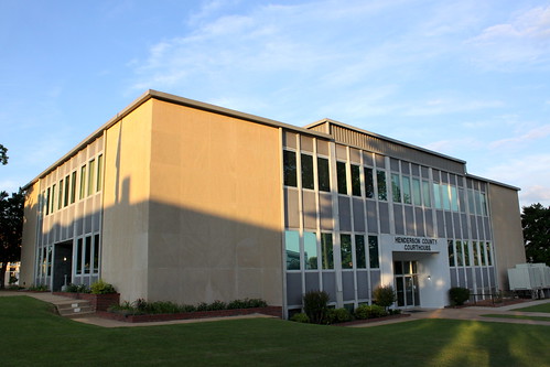
tn tennessee lexington courthouse 1961 countycourthouse hendersoncounty bmok bmok2
Henderson County Courthouse (corner view) - Lexington, TN
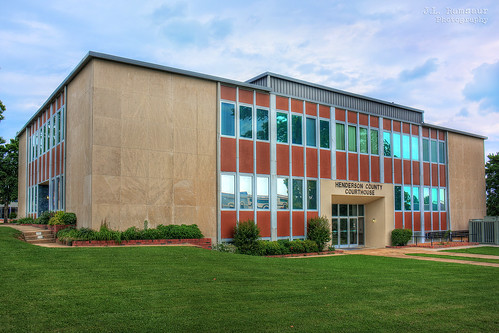
architecture rural photography photo nikon tennessee lexington engineering pic oldbuildings photograph americana courthouse thesouth hdr ruralamerica engineeringasart courtsquare 2015 smalltownamerica photomatix hendersoncounty bracketed westtennessee ruraltennessee hdrphotomatix ofandbyengineers ruralview hdrimaging lexingtontn lexingtontennessee ibeauty hdraddicted hendersoncountycourthouse tennesseephotographer d5200 structuresofthesouth southernphotography screamofthephotographer hdrvillage engineeringisart jlrphotography photographyforgod worldhdr tennesseehdr hartfreelandroberts nikond5200 hdrrighthererightnow engineerswithcameras hdrworlds jlramsaurphotography hendersoncountytncourthouse
Henderson County, TN Courthouse - Lexington, TN
Tangled branches
Church in the Valley
square squareformat hefe iphoneography instagramapp uploaded:by=instagram
Last man standing #roadtoad #roadtoadphoto #falcontransport #tennesse #101
20170507-ghost-river-paddle-warrior-06.29.03
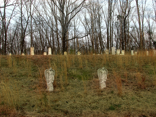
New Zion Cemetery
8408210F-FE8C-4B12-B398-9A65F236D7D0
09513BF3-2AC6-4F09-BBC3-B9FEBA6E65A9
4DAC97D6-C8D3-4C7F-AE3C-685A7CAFD98C
14C849BF-58FD-4AAB-9A8C-6E95AA38C4FA
2CBCA050-79AA-4CFF-A1FA-4F225FD91CA3
2014-05-26 12.13.43
2014-05-26 11.57.37