Elevation of Saratoga, NC, USA
Location: United States > North Carolina > Wilson County >
Longitude: -77.756652
Latitude: 35.6689187
Elevation: 35m / 115feet
Barometric Pressure: 101KPa
Elevation Map:
Satellite Map:
Related Photos:

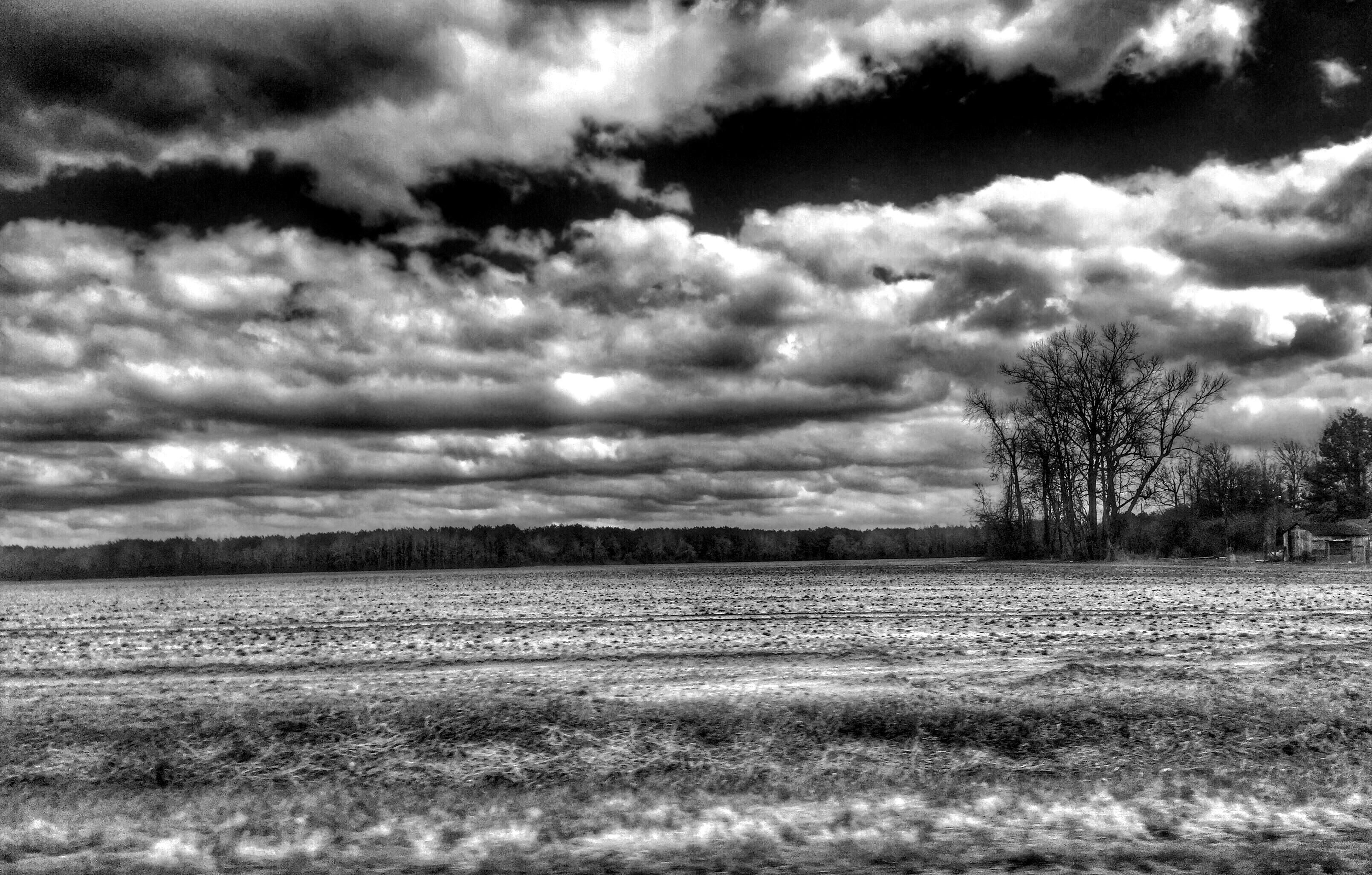
After the Rain
Geometry to aisle 3

Inside looking out
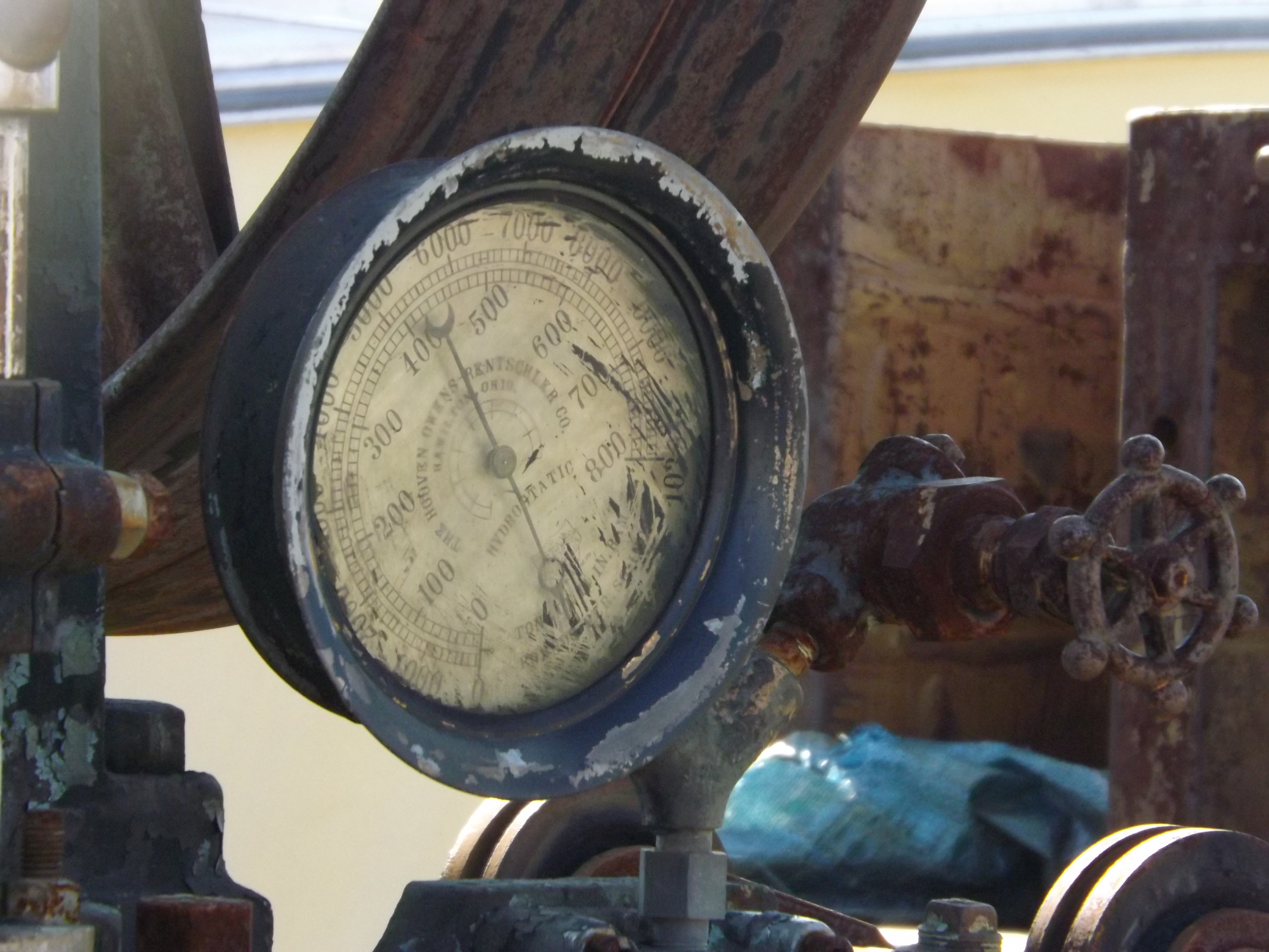
Hydrostatic Gauge

Busy Bee

Unknown piece of machinery

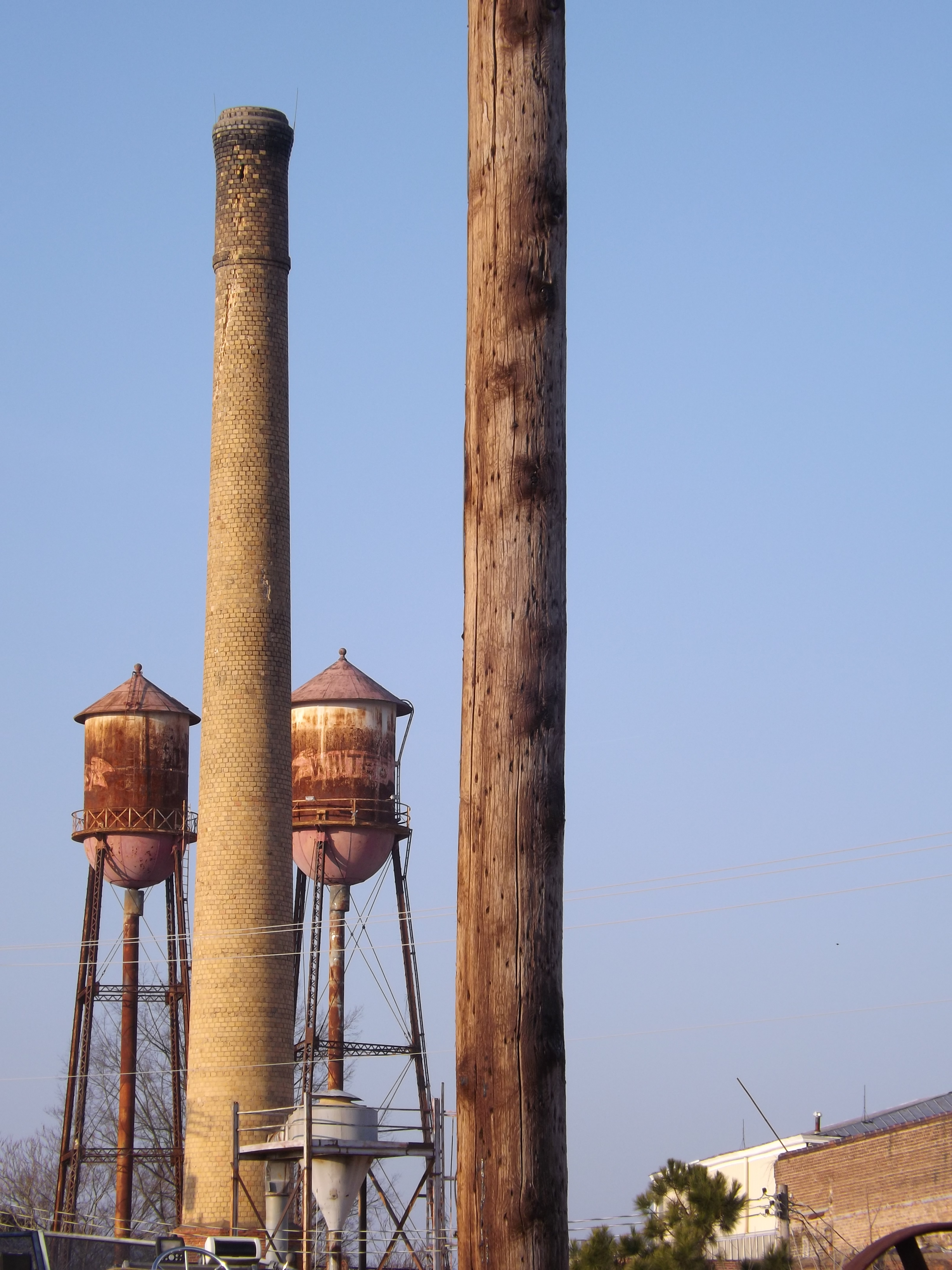
Wilson NC
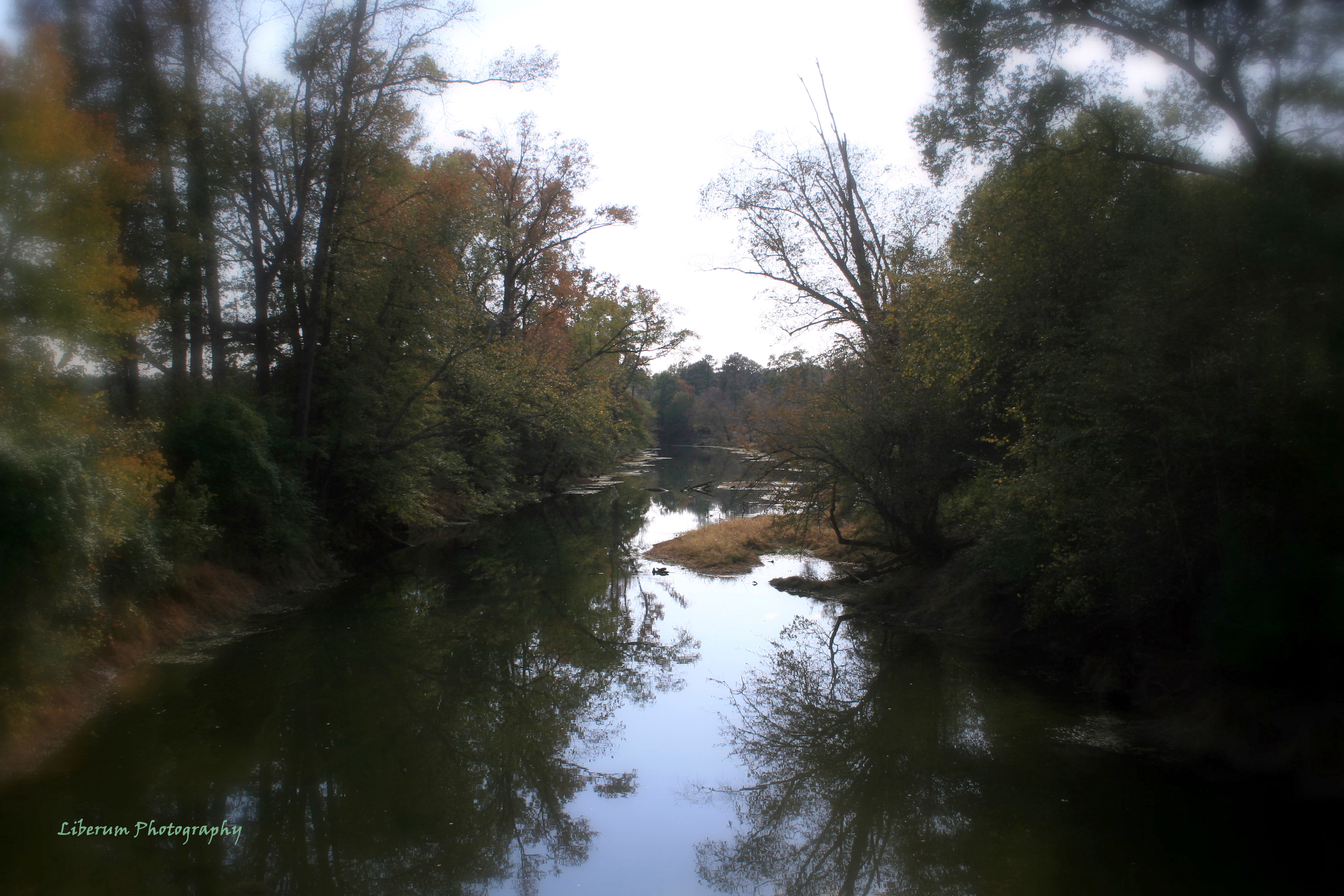
Contentnea Creek
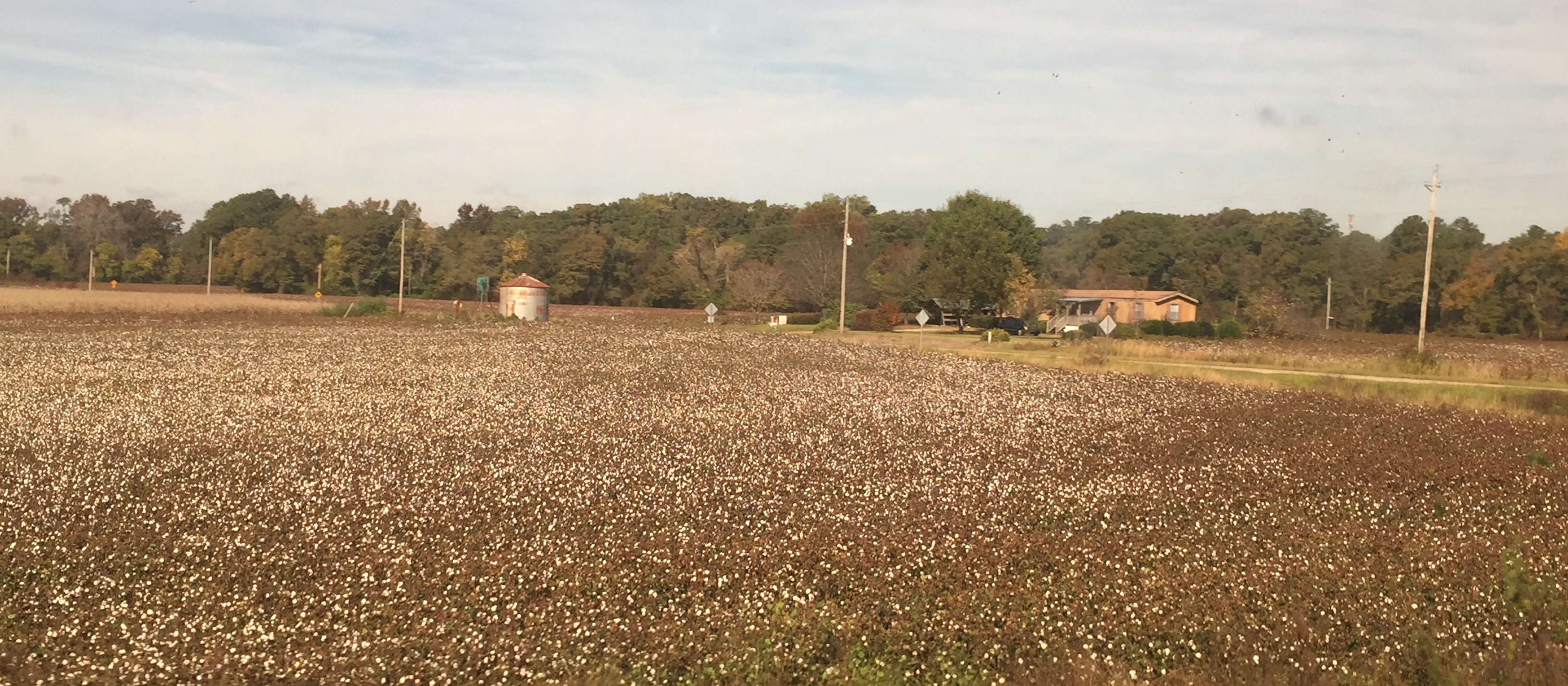
Near Wilson NC: A field of cotton before the harvest
FullSizeRender (1)
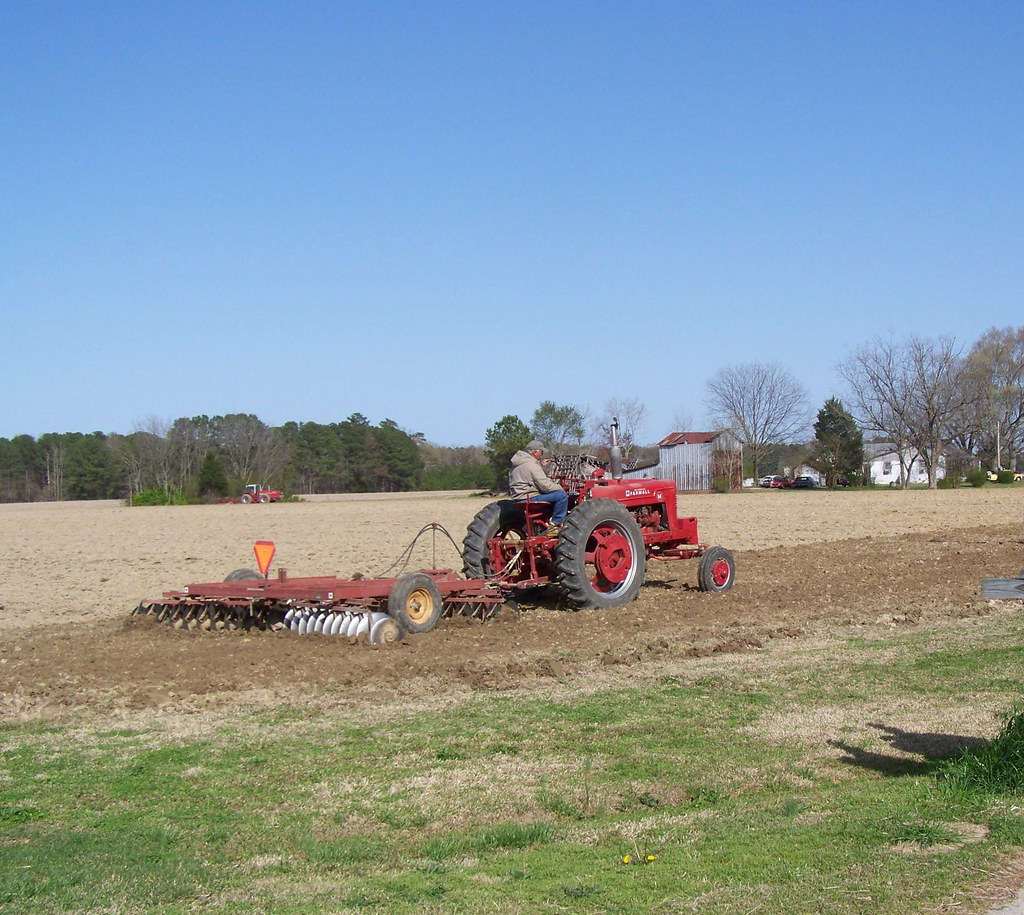
Working past retirement.
Topographic Map of Saratoga, NC, USA
Find elevation by address:

Places in Saratoga, NC, USA:
Places near Saratoga, NC, USA:
E Main St, Saratoga, NC, USA
Saratoga
8246 Galloway Rd
Holdens Cross Rd, Wilson, NC, USA
Gardners
Town Creek Rd, Elm City, NC, USA
US- ALT, Wilson, NC, USA
6131 Town Creek Rd
6151 Town Creek Rd
6206 Town Creek Rd
Stantonsburg
Walstonburg
154 Wilson County Rd
9, Otter Creek
1045 S 4th St
Fountain
Holly Trail, Wilson, NC, USA
Eastwood
Macclesfield
N 2nd St, Macclesfield, NC, USA
Recent Searches:
- Elevation of Corso Fratelli Cairoli, 35, Macerata MC, Italy
- Elevation of Tallevast Rd, Sarasota, FL, USA
- Elevation of 4th St E, Sonoma, CA, USA
- Elevation of Black Hollow Rd, Pennsdale, PA, USA
- Elevation of Oakland Ave, Williamsport, PA, USA
- Elevation of Pedrógão Grande, Portugal
- Elevation of Klee Dr, Martinsburg, WV, USA
- Elevation of Via Roma, Pieranica CR, Italy
- Elevation of Tavkvetili Mountain, Georgia
- Elevation of Hartfords Bluff Cir, Mt Pleasant, SC, USA