Elevation of Macclesfield, NC, USA
Location: United States > North Carolina > Edgecombe County > 9, Otter Creek >
Longitude: -77.669975
Latitude: 35.7521022
Elevation: 29m / 95feet
Barometric Pressure: 101KPa
Elevation Map:
Satellite Map:
Related Photos:

Bracebridge Hall Plantation Complex, ca. 1815 and 1838: Old Sparta Vicinity, Edgecombe County, NC
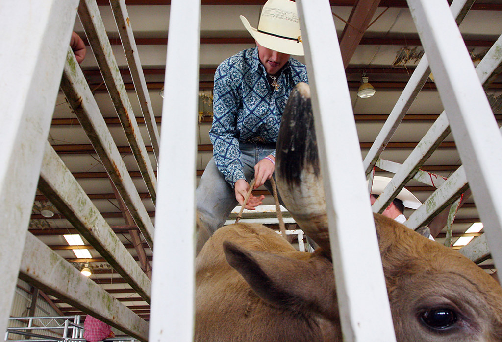
NCHS Rodeo Finals_Gray Whitley_9755
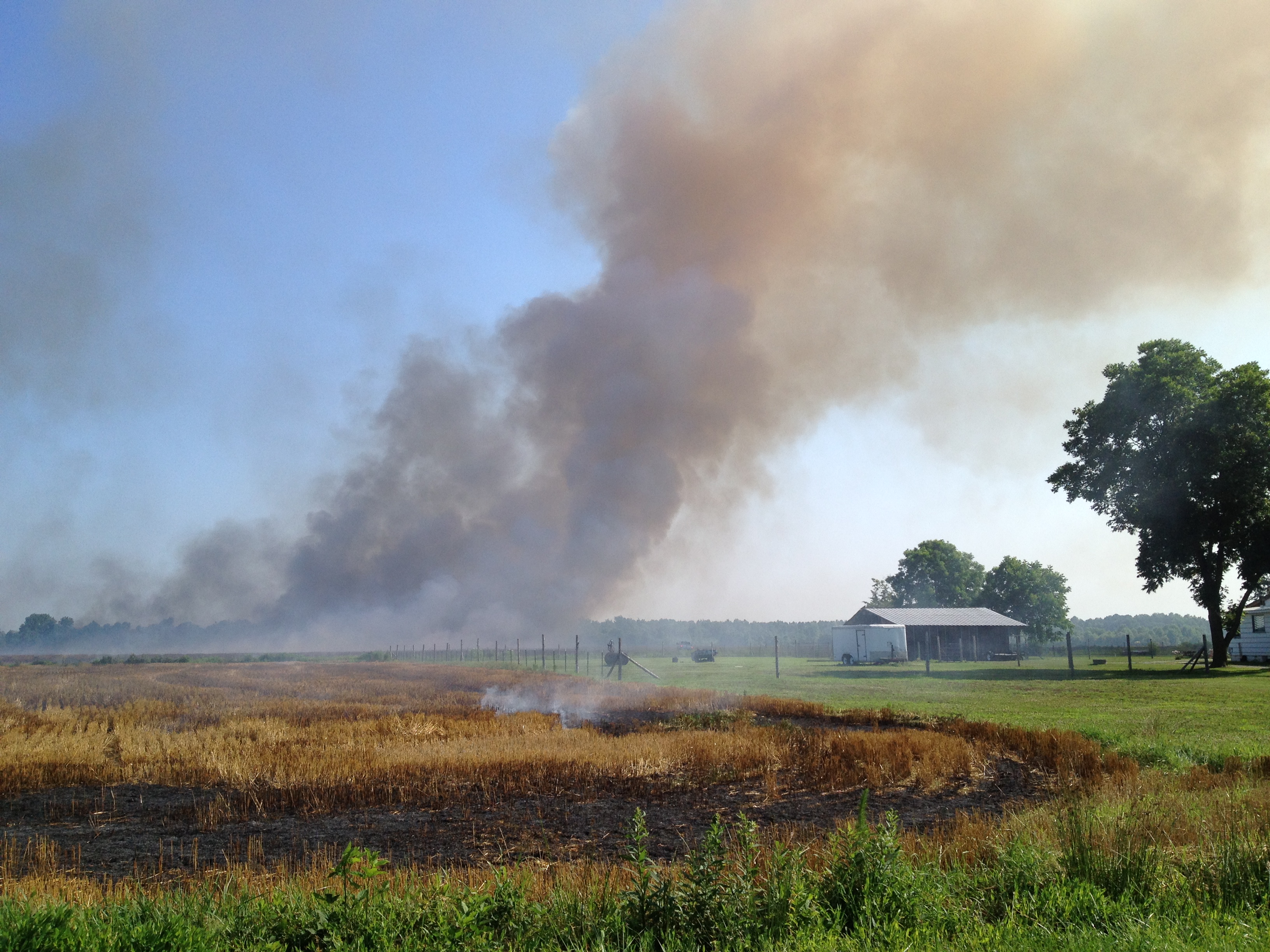
FullSizeRender (1)
New photo added to "Camera Roll"

New photo added to "Camera Roll"
New photo added to "Camera Roll"
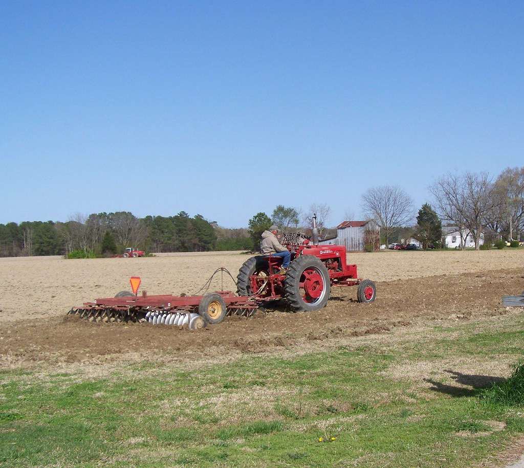
Working past retirement.

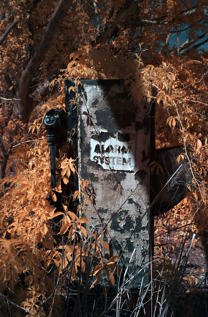
Out of Service
Unnecessary [Re Placed Series]
Regular [Re Placed Series]
New photo added to "Camera Roll"

New photo added to "Camera Roll"
New photo added to "Camera Roll"

New photo added to "Camera Roll"

New photo added to "Camera Roll"

New photo added to "Camera Roll"
New photo added to "Camera Roll"

New photo added to "Camera Roll"

New photo added to "Camera Roll"

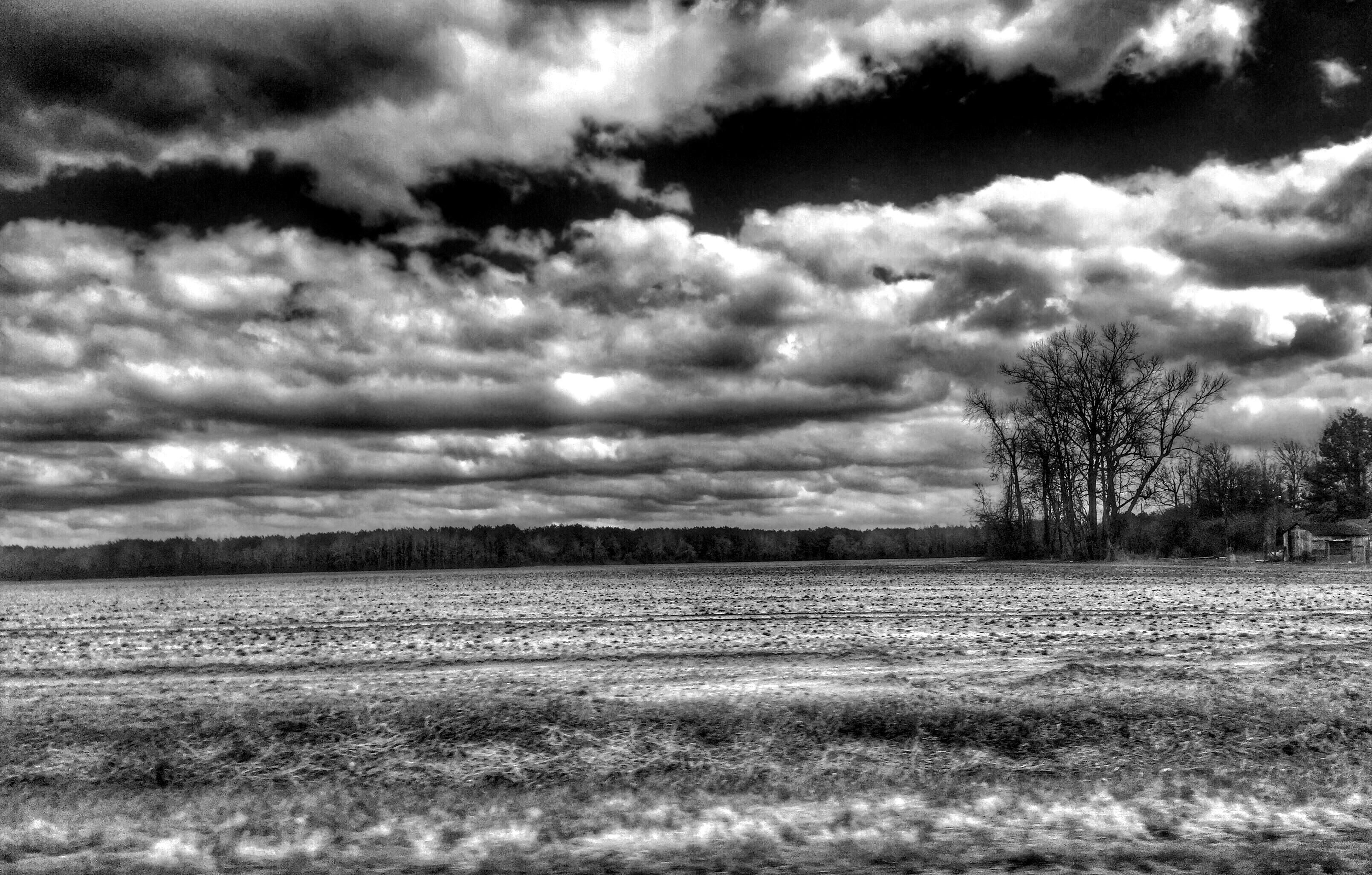
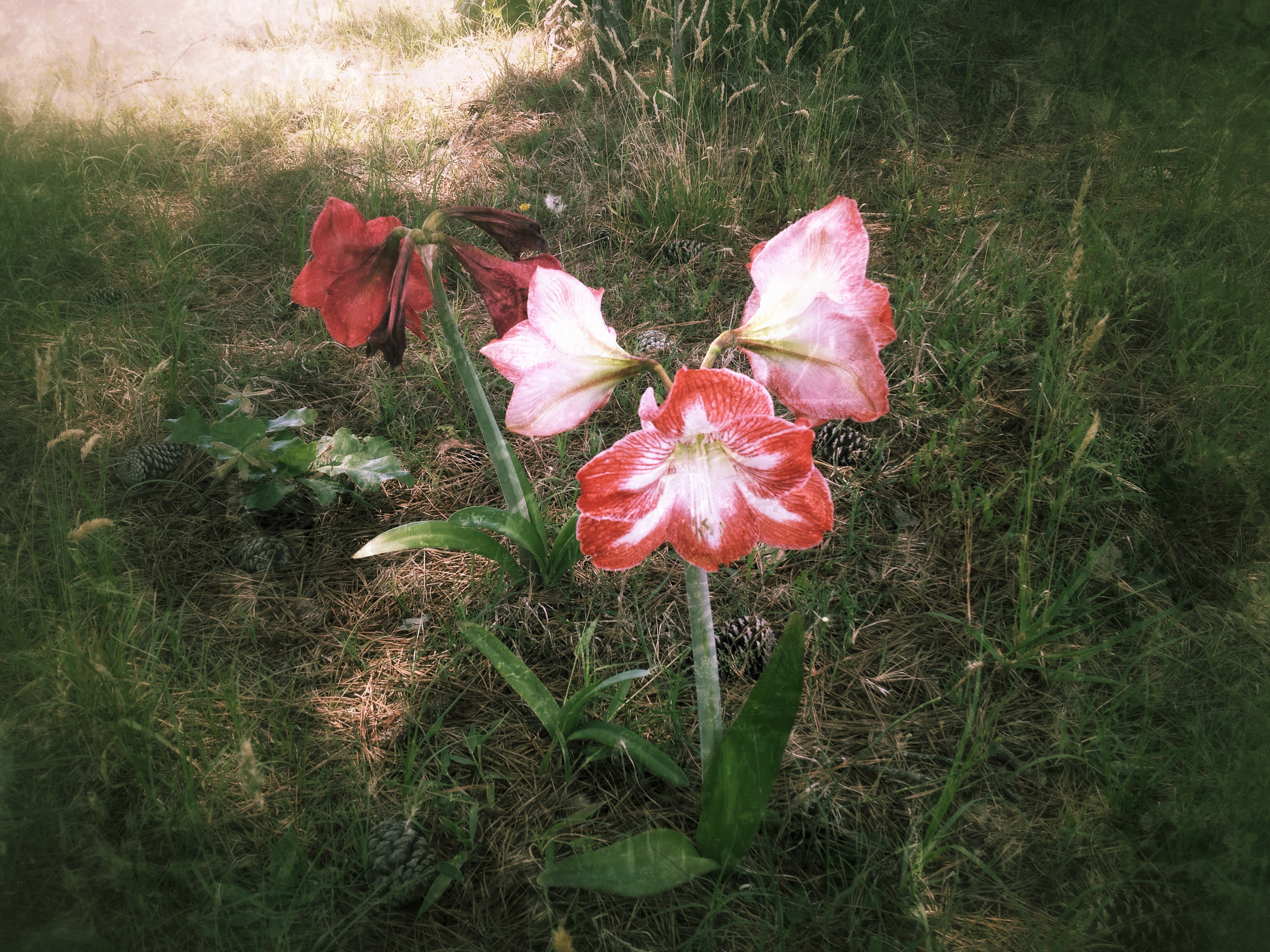
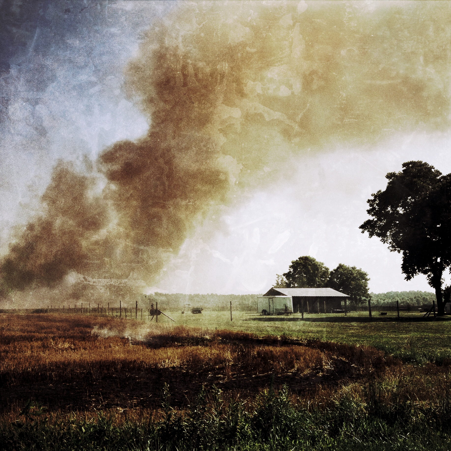
Saratoga Sunset

Vaccinium elliottii
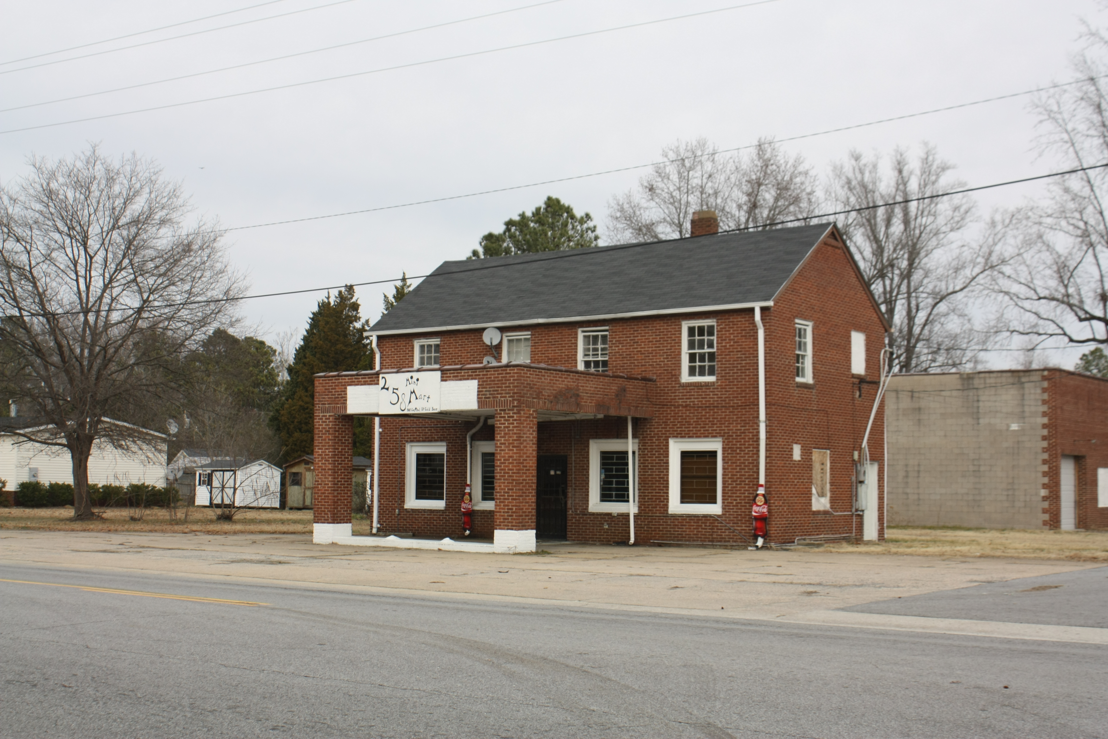
An old brick service station
Topographic Map of Macclesfield, NC, USA
Find elevation by address:

Places in Macclesfield, NC, USA:
Places near Macclesfield, NC, USA:
N 2nd St, Macclesfield, NC, USA
1045 S 4th St
9, Otter Creek
10, Lower Town Creek
8402 Temperance Hall Rd
22 Carr Farm Rd, Macclesfield, NC, USA
Pinetops
1954 Nc-42
1954 Nc-42
4739 Stallings Rd
NC-33, Tarboro, NC, USA
Falkland
1616 Holland Rd
Belvoir
Belvoir
Tar River
2, Lower Conetoe
2, Lower Conetoe
2, Lower Conetoe
2, Lower Conetoe
Recent Searches:
- Elevation of Corso Fratelli Cairoli, 35, Macerata MC, Italy
- Elevation of Tallevast Rd, Sarasota, FL, USA
- Elevation of 4th St E, Sonoma, CA, USA
- Elevation of Black Hollow Rd, Pennsdale, PA, USA
- Elevation of Oakland Ave, Williamsport, PA, USA
- Elevation of Pedrógão Grande, Portugal
- Elevation of Klee Dr, Martinsburg, WV, USA
- Elevation of Via Roma, Pieranica CR, Italy
- Elevation of Tavkvetili Mountain, Georgia
- Elevation of Hartfords Bluff Cir, Mt Pleasant, SC, USA