Elevation of Falkland, NC, USA
Location: United States > North Carolina > Pitt County > Falkland >
Longitude: -77.513025
Latitude: 35.6993257
Elevation: 23m / 75feet
Barometric Pressure: 101KPa
Elevation Map:
Satellite Map:
Related Photos:

Across The Pond
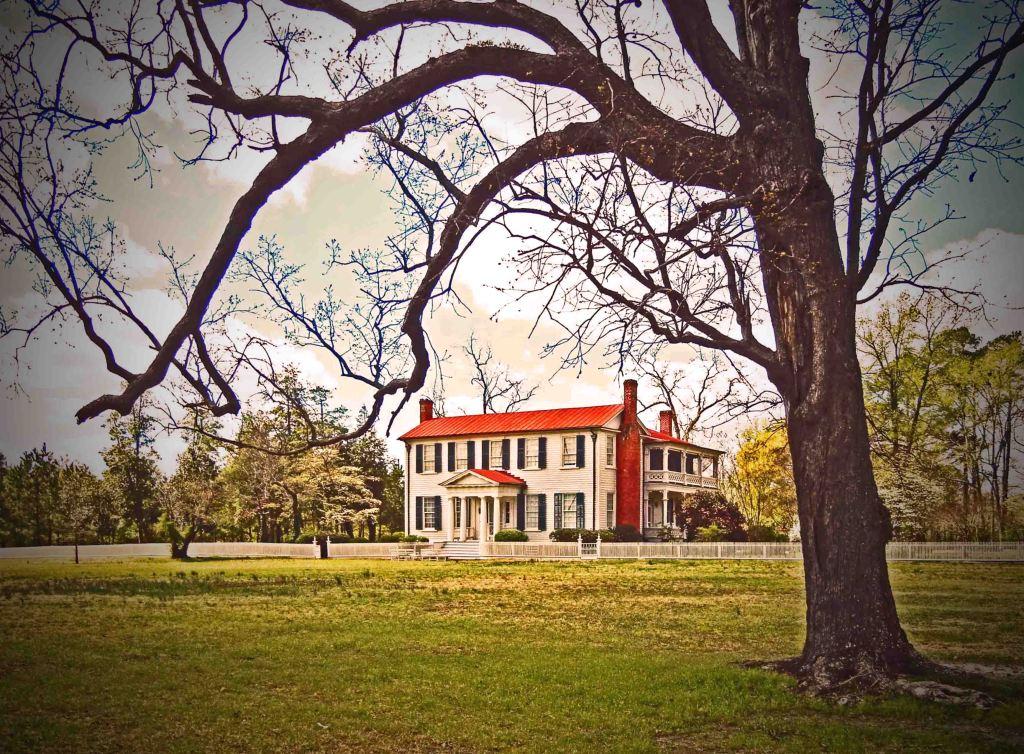
Bracebridge Hall Plantation Complex, ca. 1815 and 1838: Old Sparta Vicinity, Edgecombe County, NC

view across the dance floor

Side View Mirror
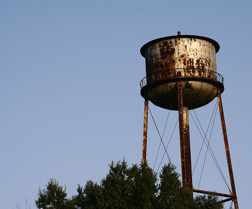
Tower and Trees

Cross of Fire

first view of the reception hall

a good view to watch the limo

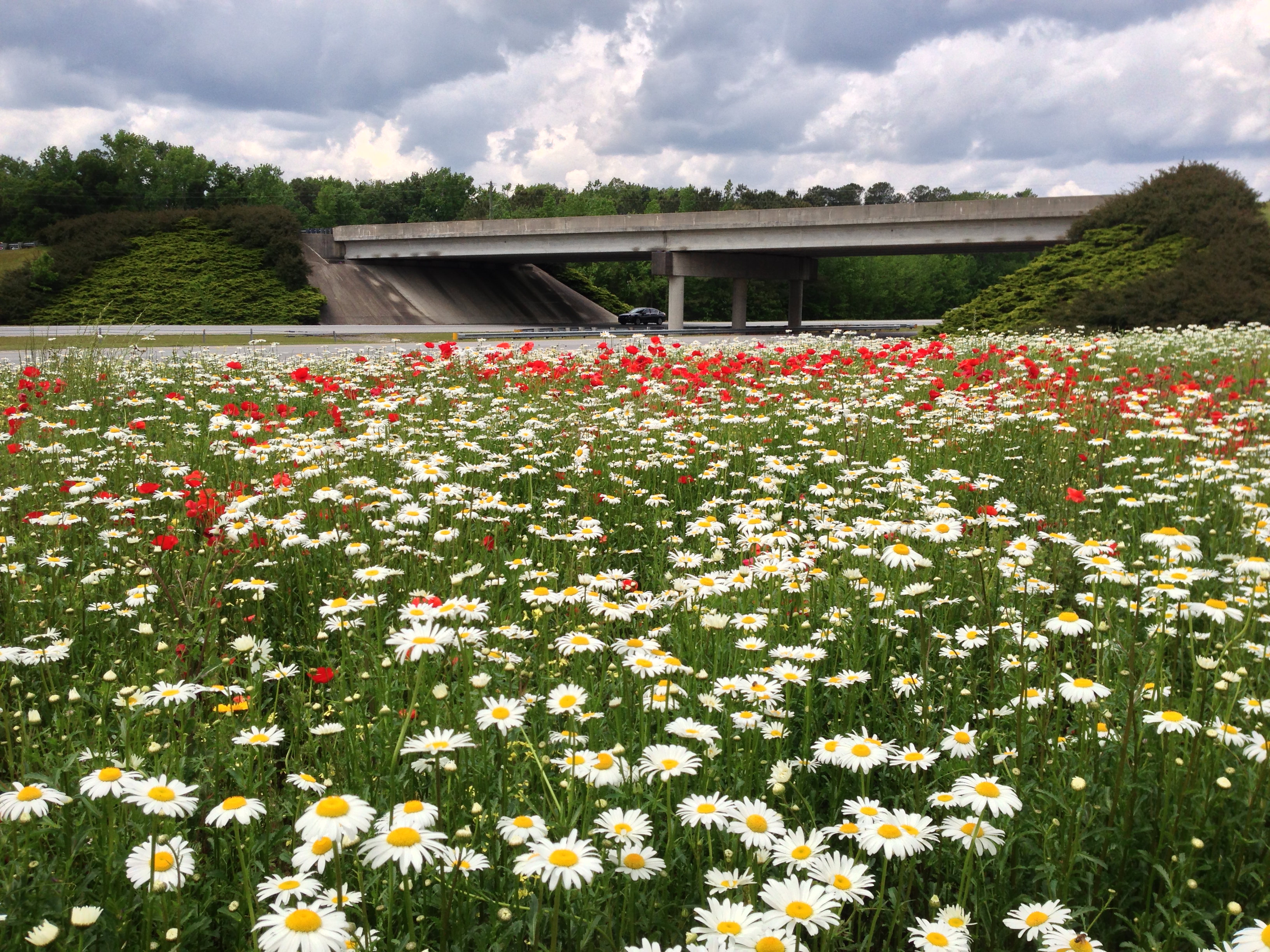
U.S. 264, Pitt Co.
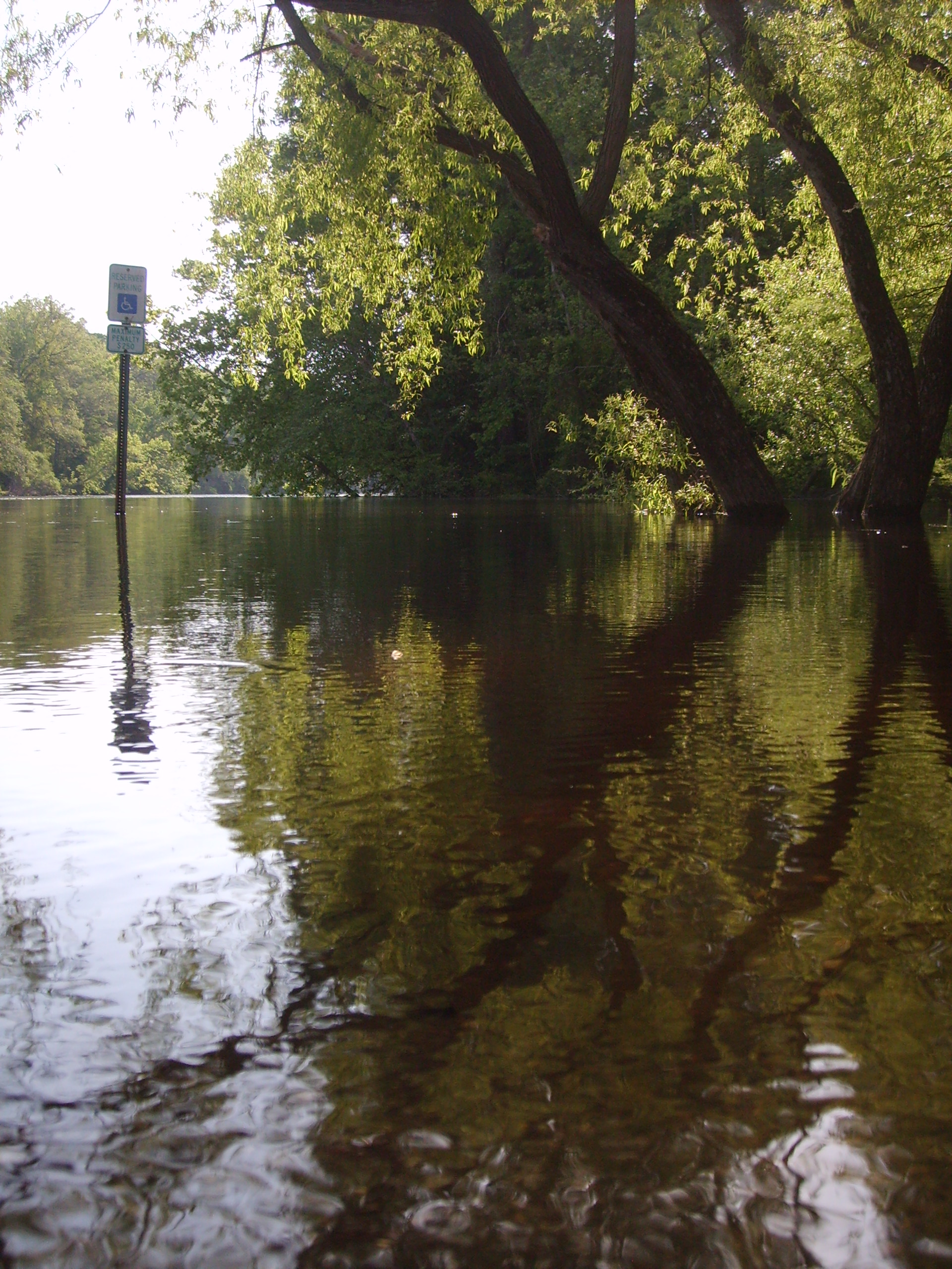
The Tar River
May 2013 - Farmville

May 2013 - Greenville

"From down here the world seems so much bigger..."
FullSizeRender (1)
Topographic Map of Falkland, NC, USA
Find elevation by address:

Places in Falkland, NC, USA:
Places near Falkland, NC, USA:
Belvoir
1616 Holland Rd
4739 Stallings Rd
Belvoir
NC-33, Tarboro, NC, USA
Tar River
1954 Nc-42
1954 Nc-42
22 Carr Farm Rd, Macclesfield, NC, USA
4782 Nc-11
Pinetops
9, Otter Creek
2, Lower Conetoe
2, Lower Conetoe
2, Lower Conetoe
2, Lower Conetoe
6487 Nc-11 S
N 2nd St, Macclesfield, NC, USA
Macclesfield
1045 S 4th St
Recent Searches:
- Elevation of Tenjo, Cundinamarca, Colombia
- Elevation of Côte-des-Neiges, Montreal, QC H4A 3J6, Canada
- Elevation of Bobcat Dr, Helena, MT, USA
- Elevation of Zu den Ihlowbergen, Althüttendorf, Germany
- Elevation of Badaber, Peshawar, Khyber Pakhtunkhwa, Pakistan
- Elevation of SE Heron Loop, Lincoln City, OR, USA
- Elevation of Slanický ostrov, 01 Námestovo, Slovakia
- Elevation of Spaceport America, Co Rd A, Truth or Consequences, NM, USA
- Elevation of Warwick, RI, USA
- Elevation of Fern Rd, Whitmore, CA, USA