Elevation of 9, Otter Creek, NC, USA
Location: United States > North Carolina > Edgecombe County >
Longitude: -77.665066
Latitude: 35.7240265
Elevation: 25m / 82feet
Barometric Pressure: 101KPa
Elevation Map:
Satellite Map:
Related Photos:

Bracebridge Hall Plantation Complex, ca. 1815 and 1838: Old Sparta Vicinity, Edgecombe County, NC
FullSizeRender (1)
Working past retirement.
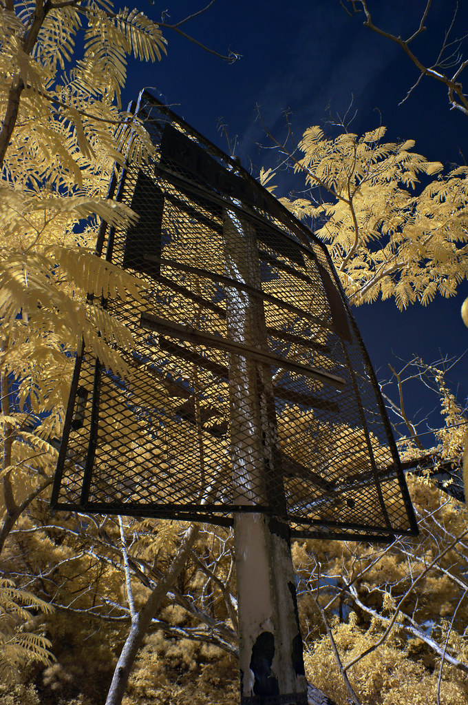
Abandoned house 5of7

Out of Service

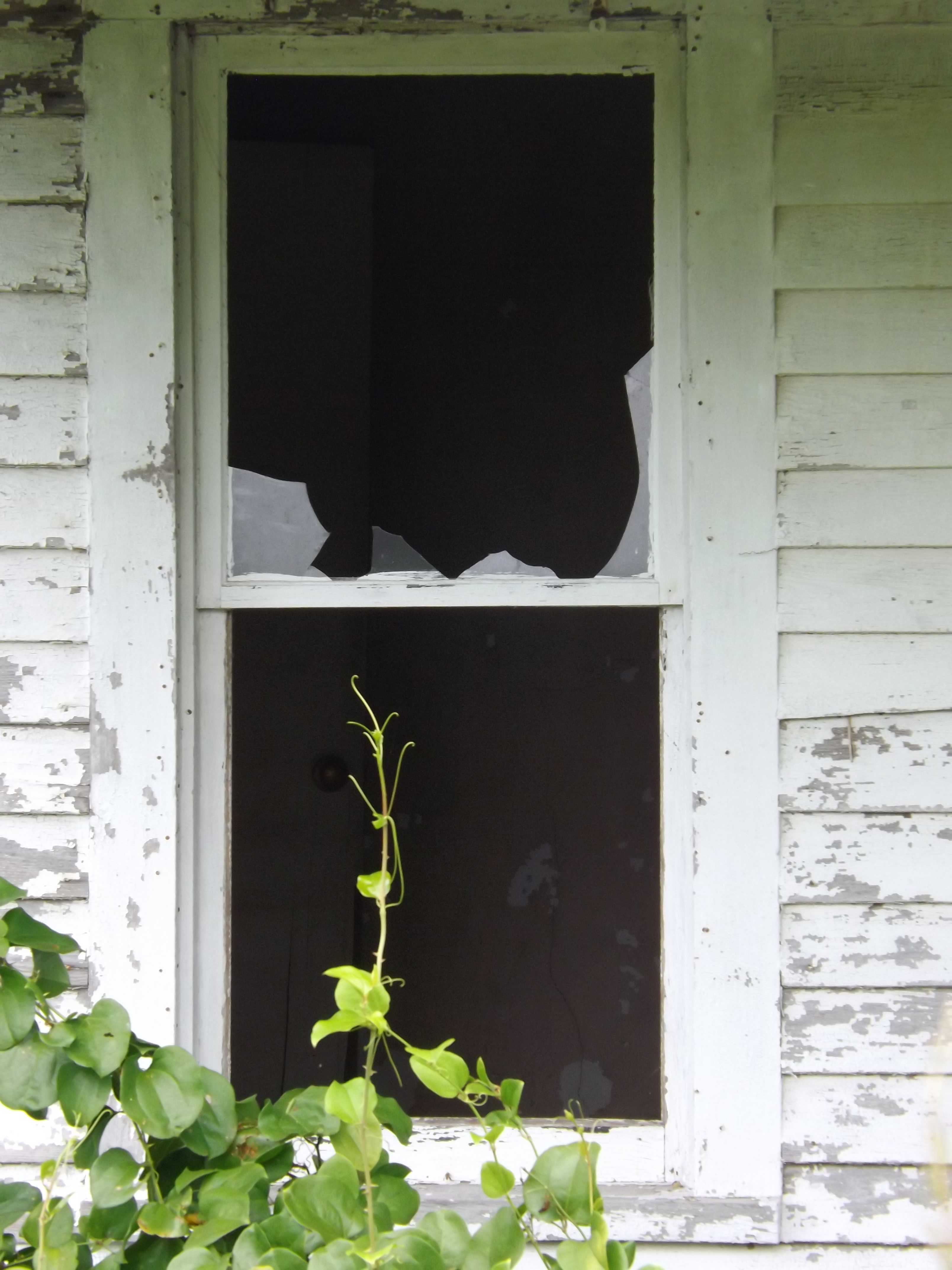
Dark Window
Unnecessary [Re Placed Series]
Regular [Re Placed Series]

Duck-Rabbit Brewery_Gray Whitley_0001

Saratoga Sunset

Vaccinium elliottii

Paramount Theatre, Farmville, NC

Grammy & Pops had a sleepover last night. Hadley passing by the camera to say G:-):-)d Morning!
Video of Carolina Coastal rattles Walstonburg

Carolina Coastal rattles Walstonburg

Meyer's Furniture???
Abandoned house 4of7
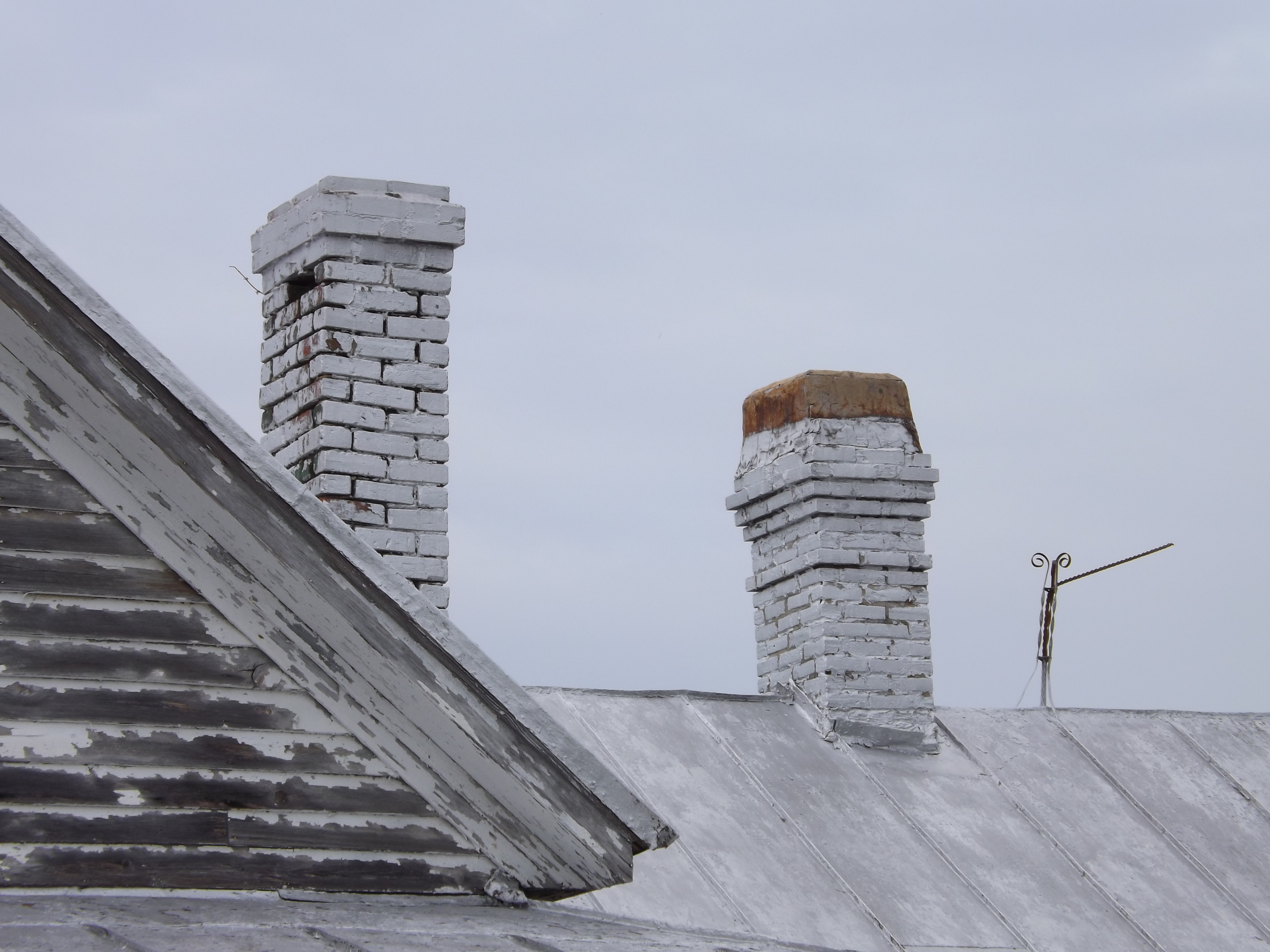
Abandoned house 6of7
Abandoned house 7of7
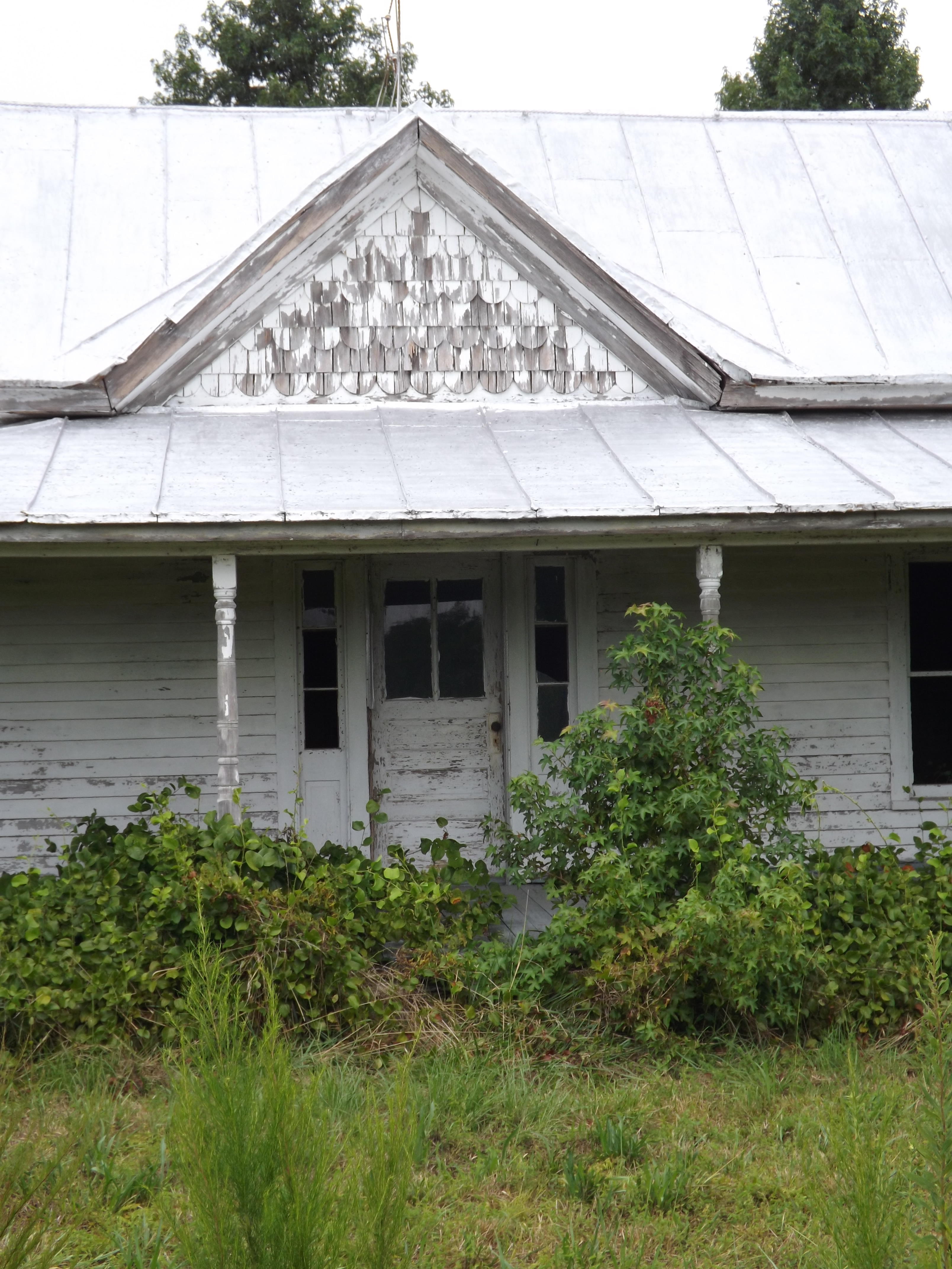
Abandoned home 3of7
Abandoned home 2of7
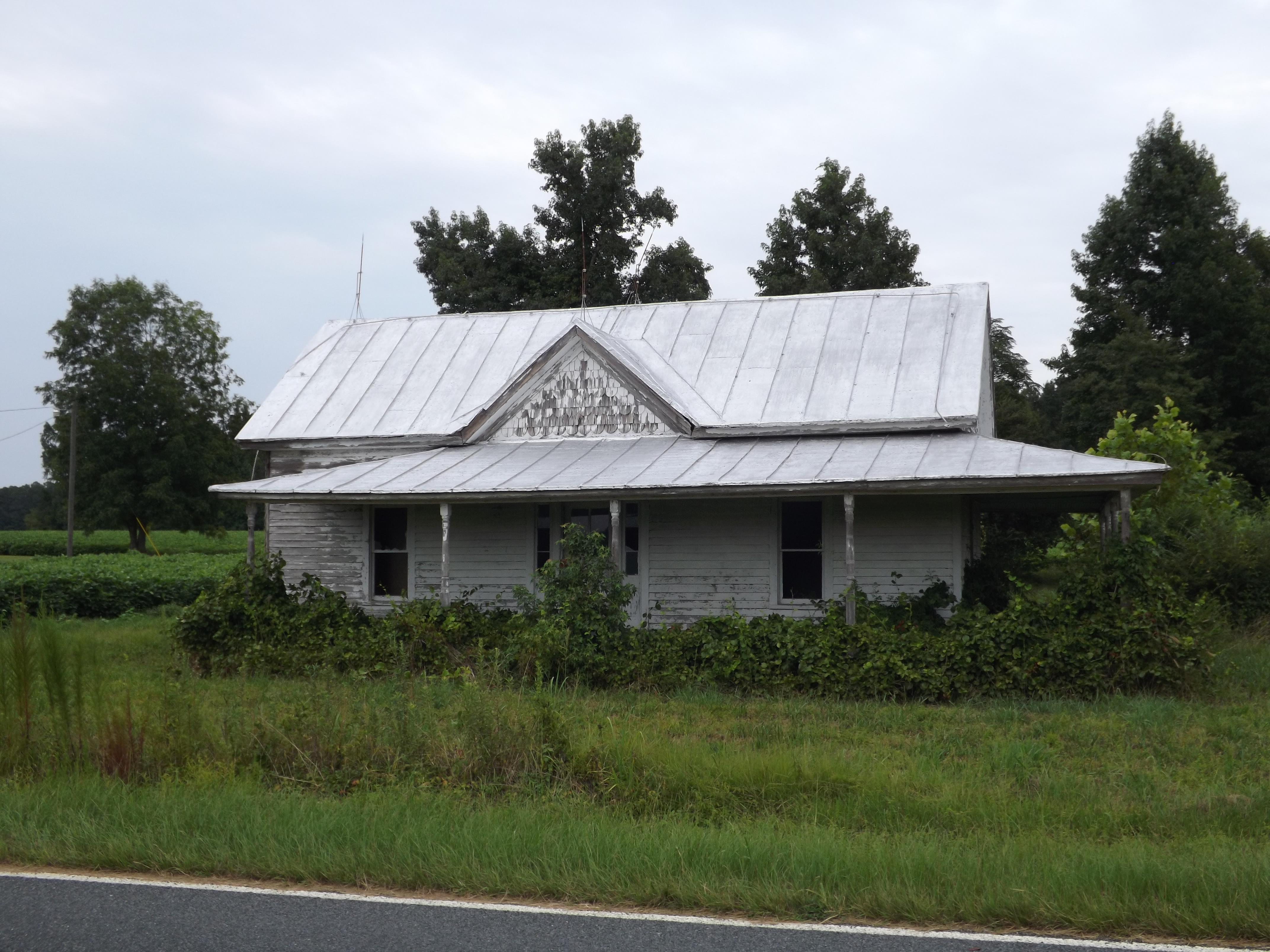
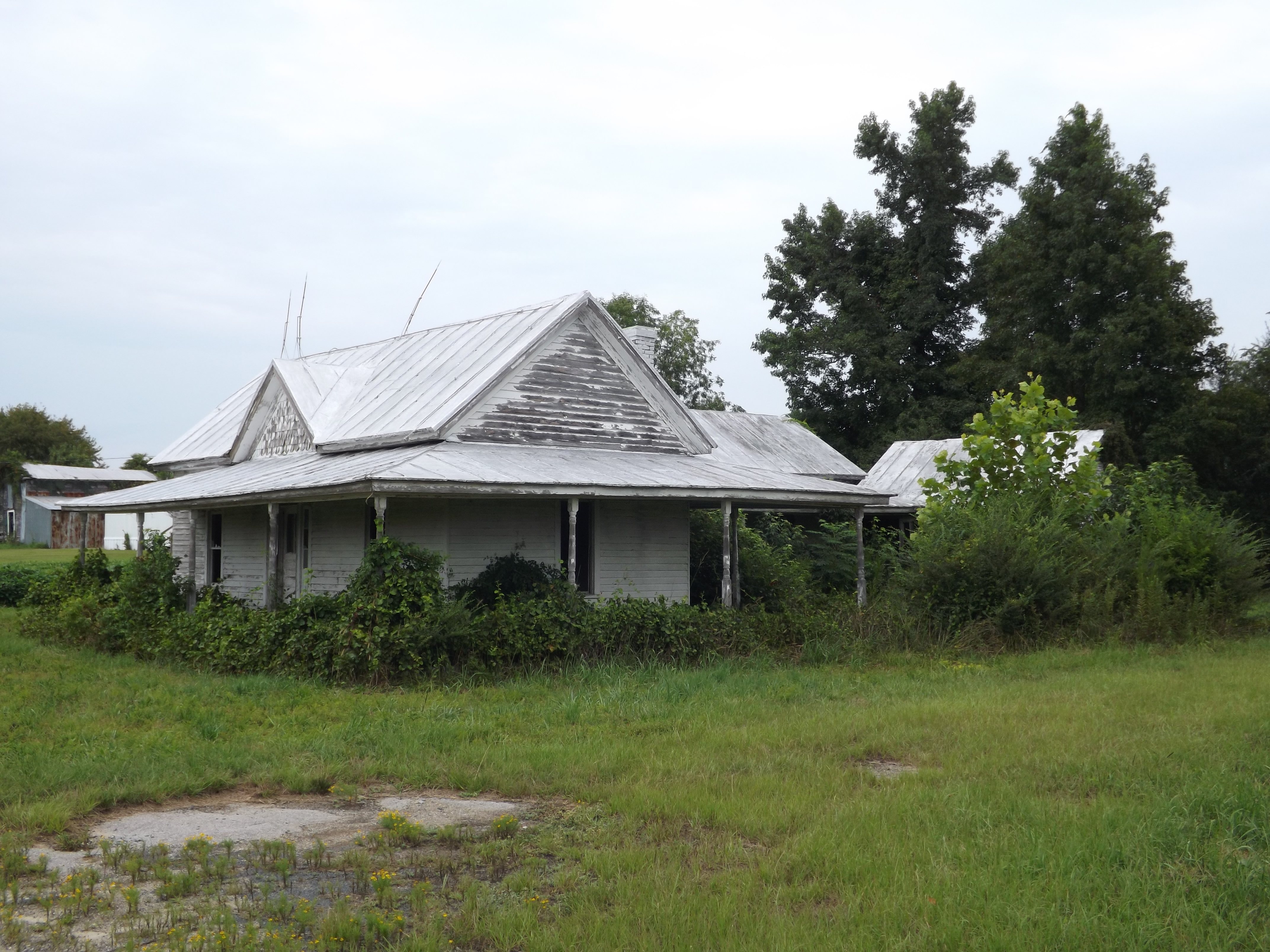
Abandoned home 1of7
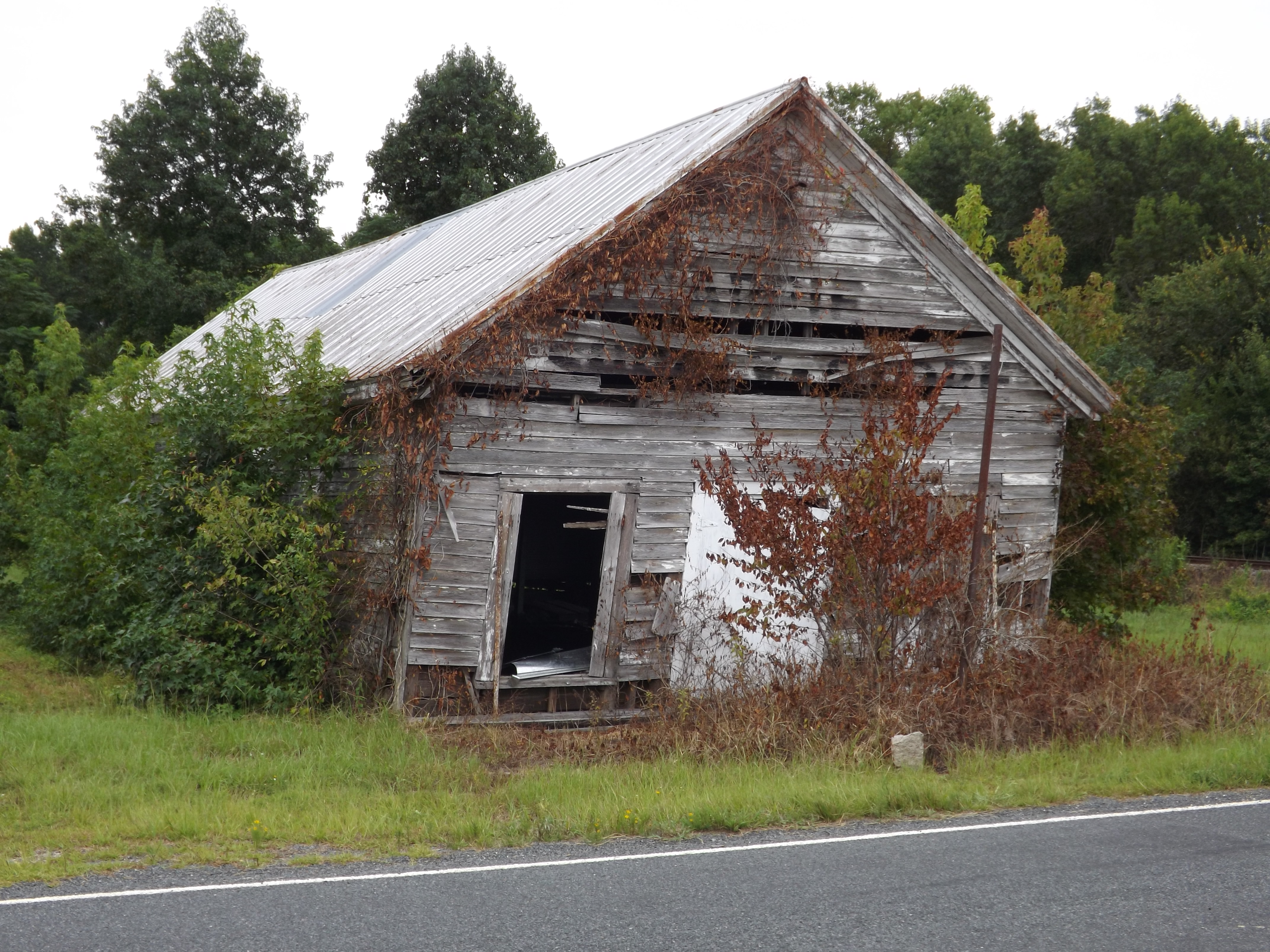
Appie Supply Store
Topographic Map of 9, Otter Creek, NC, USA
Find elevation by address:

Places in 9, Otter Creek, NC, USA:
Places near 9, Otter Creek, NC, USA:
1045 S 4th St
N 2nd St, Macclesfield, NC, USA
Macclesfield
22 Carr Farm Rd, Macclesfield, NC, USA
10, Lower Town Creek
Pinetops
8402 Temperance Hall Rd
4739 Stallings Rd
1954 Nc-42
1954 Nc-42
NC-33, Tarboro, NC, USA
Falkland
1616 Holland Rd
Belvoir
Belvoir
Tar River
2, Lower Conetoe
2, Lower Conetoe
2, Lower Conetoe
2, Lower Conetoe
Recent Searches:
- Elevation of Corso Fratelli Cairoli, 35, Macerata MC, Italy
- Elevation of Tallevast Rd, Sarasota, FL, USA
- Elevation of 4th St E, Sonoma, CA, USA
- Elevation of Black Hollow Rd, Pennsdale, PA, USA
- Elevation of Oakland Ave, Williamsport, PA, USA
- Elevation of Pedrógão Grande, Portugal
- Elevation of Klee Dr, Martinsburg, WV, USA
- Elevation of Via Roma, Pieranica CR, Italy
- Elevation of Tavkvetili Mountain, Georgia
- Elevation of Hartfords Bluff Cir, Mt Pleasant, SC, USA