Elevation of S 4th St, Macclesfield, NC, USA
Location: United States > North Carolina > Edgecombe County > 9, Otter Creek > Macclesfield >
Longitude: -77.6751
Latitude: 35.740803
Elevation: 29m / 95feet
Barometric Pressure: 101KPa
Elevation Map:
Satellite Map:
Related Photos:
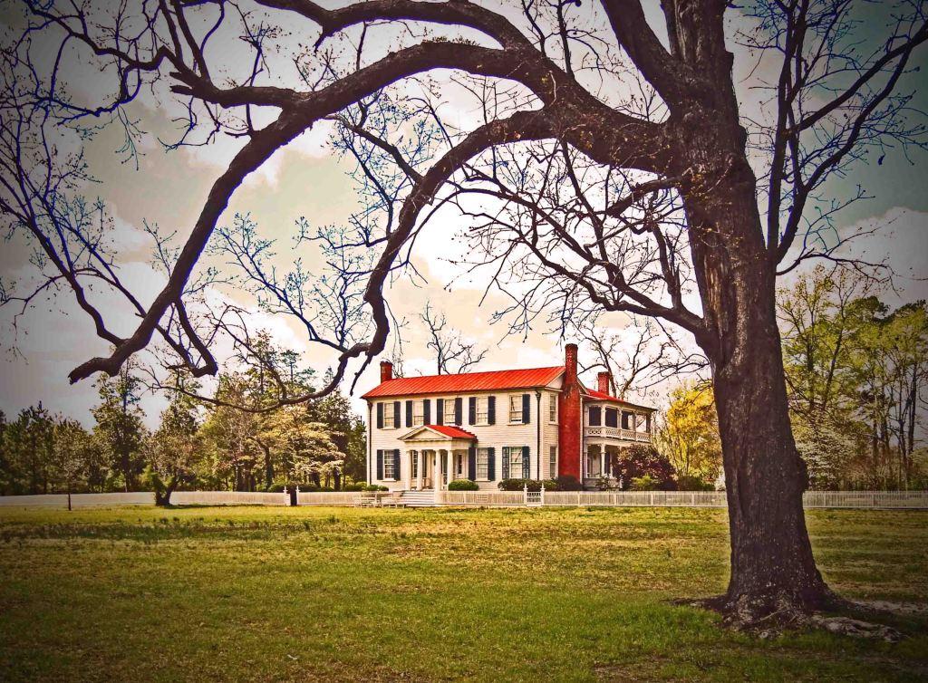
Bracebridge Hall Plantation Complex, ca. 1815 and 1838: Old Sparta Vicinity, Edgecombe County, NC
New photo added to "Camera Roll"
New photo added to "Camera Roll"
New photo added to "Camera Roll"

New photo added to "Camera Roll"
Working past retirement.
FullSizeRender (1)
New photo added to "VSCO Cam"

IMG_0238 2a

It's a Zoo Life

It's a Zoo Life
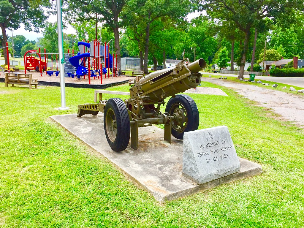
Veterans Memorial in Pinetops, NC

Pinetops Branch Library
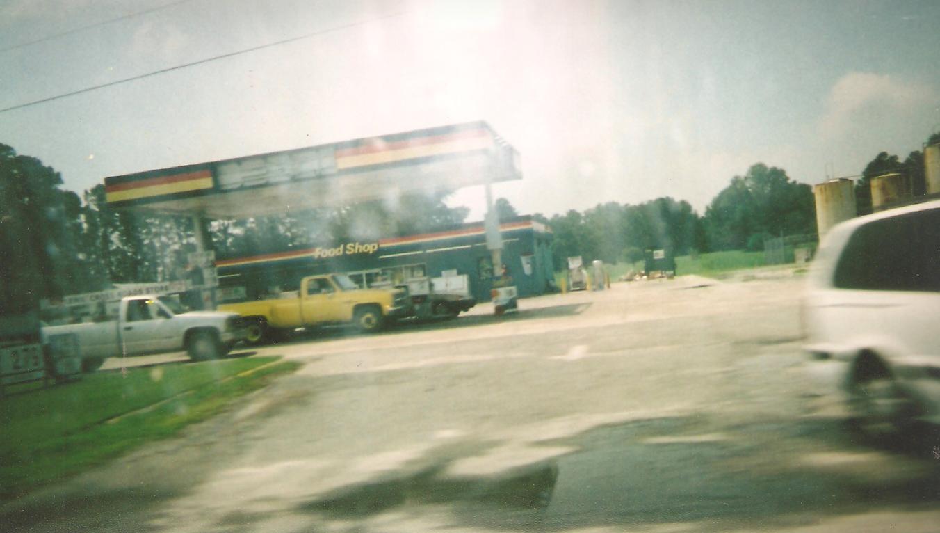
Farmille, NC
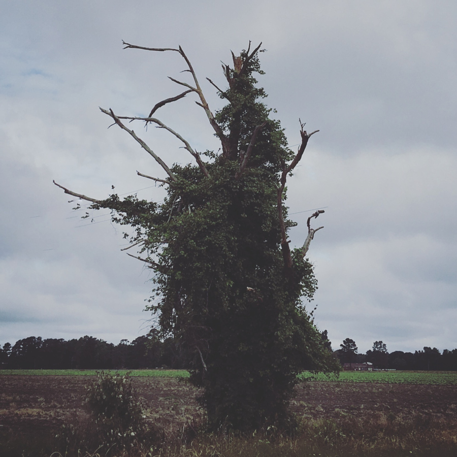
142/366 The Tree That Lives

Out of Service
New photo added to "Camera Roll"
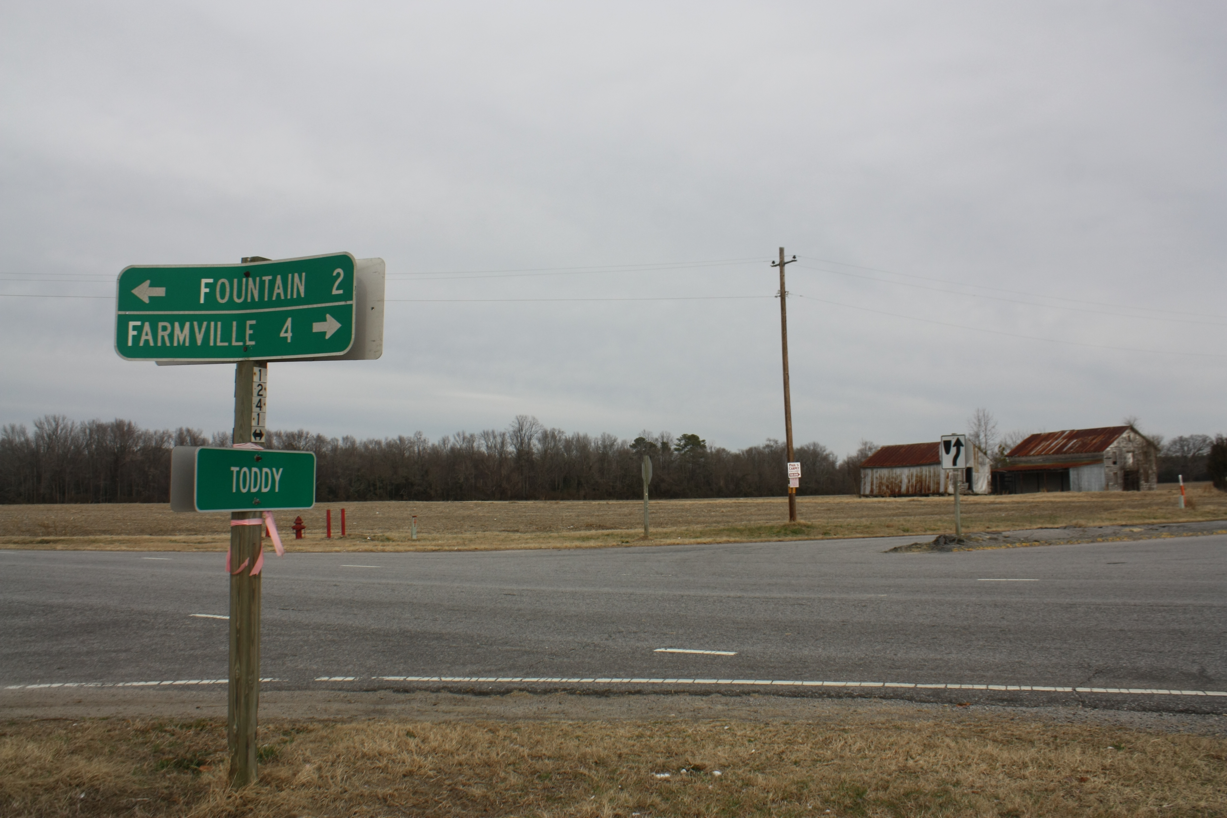
Toddy - 1
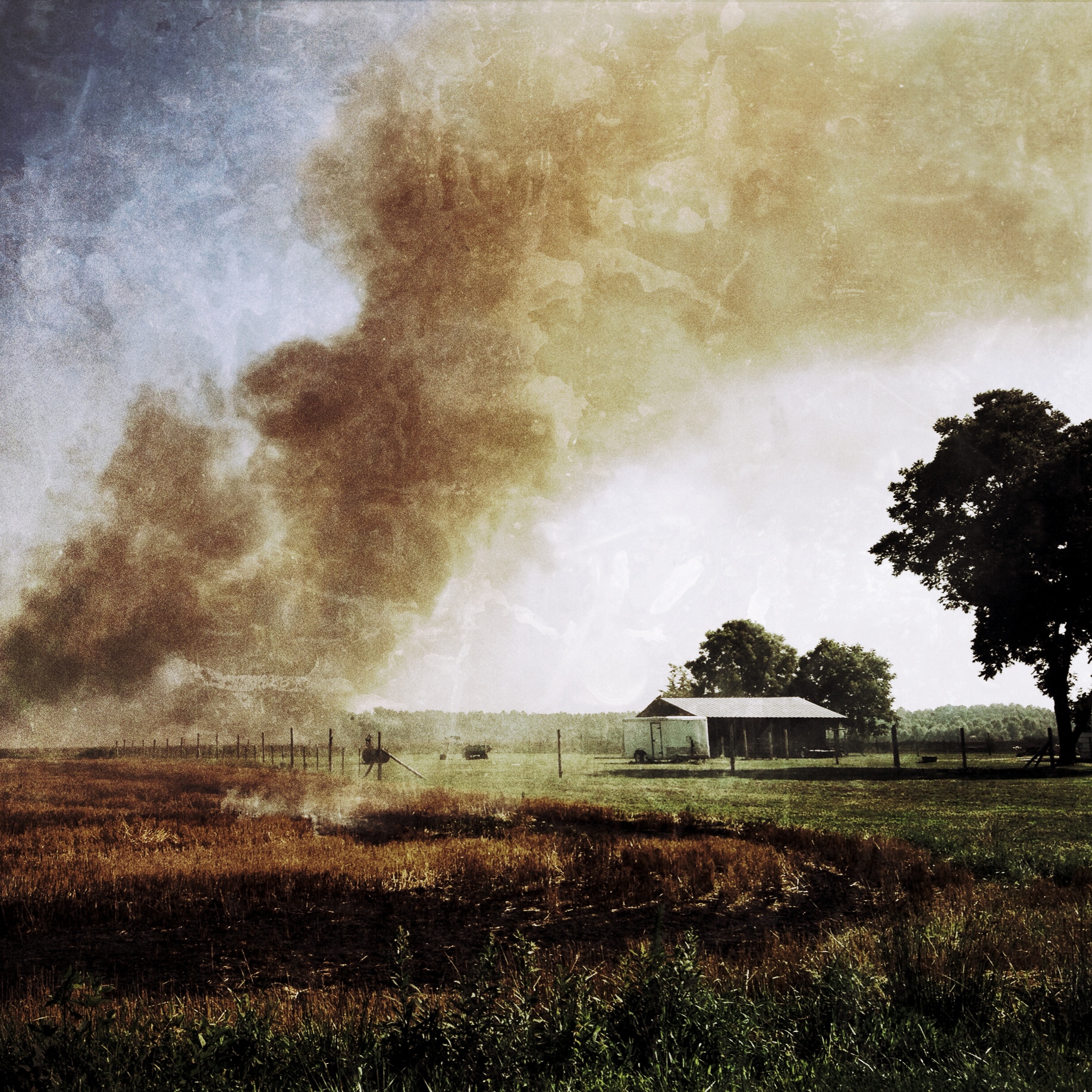
Morning drive

IMG_0194 2a

It's a Zoo Life

It's A Zoo Life
Unnecessary [Re Placed Series]
Regular [Re Placed Series]
Topographic Map of S 4th St, Macclesfield, NC, USA
Find elevation by address:

Places near S 4th St, Macclesfield, NC, USA:
N 2nd St, Macclesfield, NC, USA
Macclesfield
9, Otter Creek
10, Lower Town Creek
22 Carr Farm Rd, Macclesfield, NC, USA
8402 Temperance Hall Rd
Pinetops
4739 Stallings Rd
1954 Nc-42
1954 Nc-42
NC-33, Tarboro, NC, USA
Falkland
1616 Holland Rd
Belvoir
Belvoir
Tar River
2, Lower Conetoe
2, Lower Conetoe
2, Lower Conetoe
2, Lower Conetoe
Recent Searches:
- Elevation of Kreuzburger Weg 13, Düsseldorf, Germany
- Elevation of Gateway Blvd SE, Canton, OH, USA
- Elevation of East W.T. Harris Boulevard, E W.T. Harris Blvd, Charlotte, NC, USA
- Elevation of West Sugar Creek, Charlotte, NC, USA
- Elevation of Wayland, NY, USA
- Elevation of Steadfast Ct, Daphne, AL, USA
- Elevation of Lagasgasan, X+CQH, Tiaong, Quezon, Philippines
- Elevation of Rojo Ct, Atascadero, CA, USA
- Elevation of Flagstaff Drive, Flagstaff Dr, North Carolina, USA
- Elevation of Avery Ln, Lakeland, FL, USA