Elevation of Wilson County Rd, Macclesfield, NC, USA
Location: United States > North Carolina > Edgecombe County > 9, Otter Creek > Macclesfield >
Longitude: -77.730576
Latitude: 35.769447
Elevation: 35m / 115feet
Barometric Pressure: 101KPa
Elevation Map:
Satellite Map:
Related Photos:

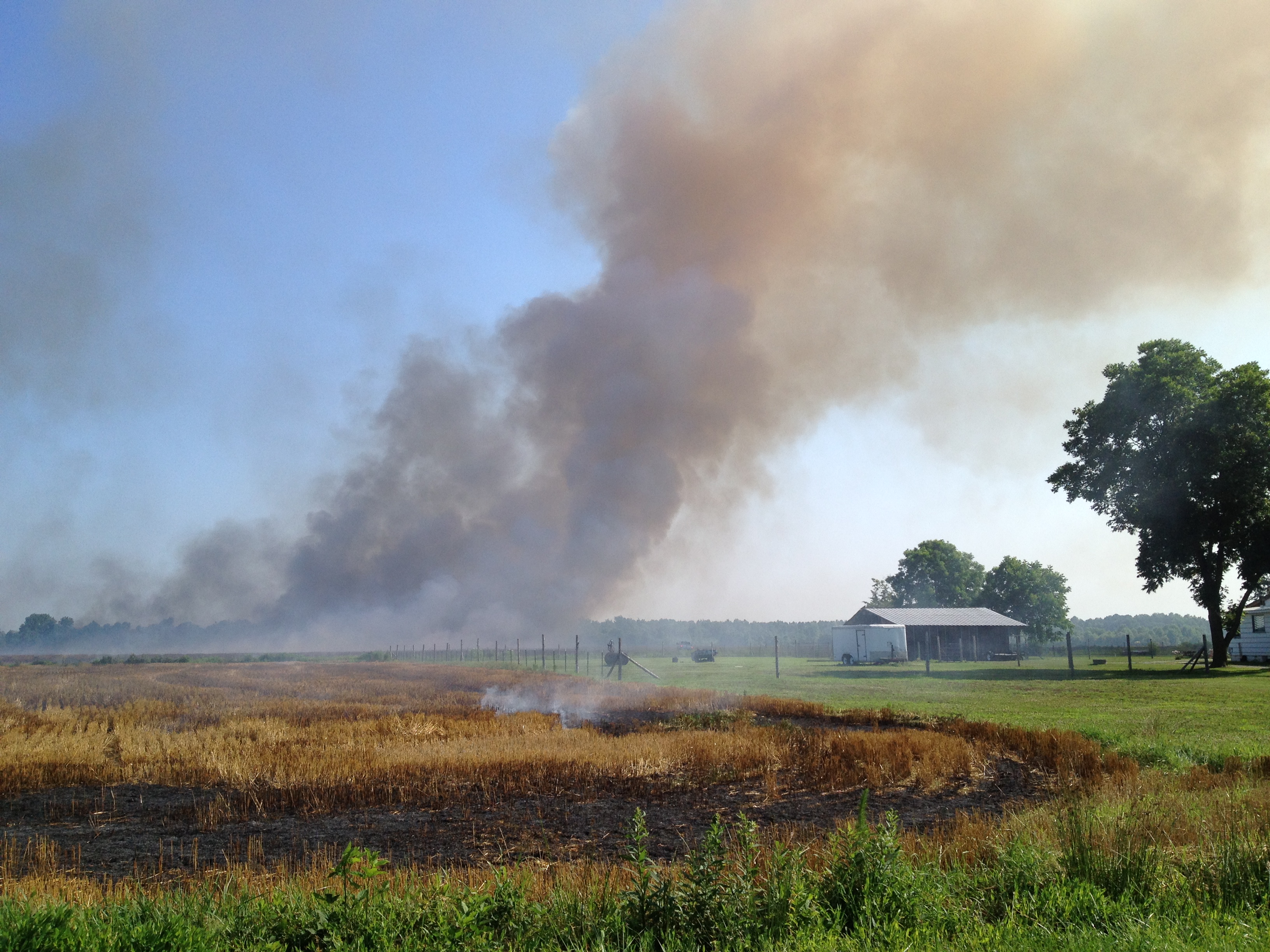
After the Rain

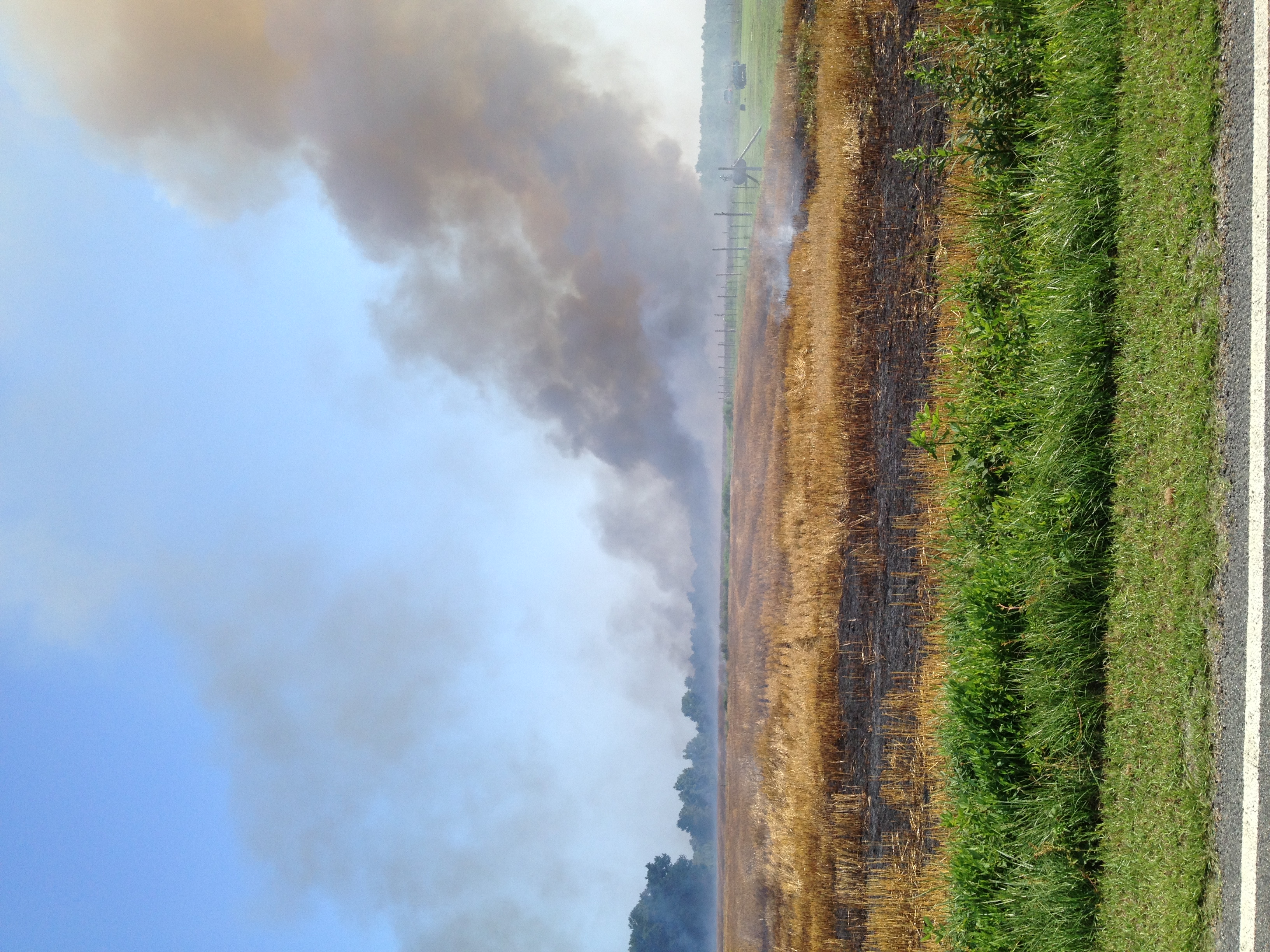
Busy Bee
New photo added to "Camera Roll"
New photo added to "Camera Roll"

New photo added to "Camera Roll"

New photo added to "Camera Roll"
Working past retirement.
FullSizeRender (1)

New photo added to "VSCO Cam"

rural sea of leaves
Topographic Map of Wilson County Rd, Macclesfield, NC, USA
Find elevation by address:

Places near Wilson County Rd, Macclesfield, NC, USA:
6206 Town Creek Rd
Town Creek Rd, Elm City, NC, USA
6151 Town Creek Rd
6131 Town Creek Rd
Gardners
13, Cokey
13, Cokey
5027 Redmon Rd
Holdens Cross Rd, Wilson, NC, USA
US- ALT, Wilson, NC, USA
Middleton Ln, Elm City, NC, USA
Eastwood
Holly Trail, Wilson, NC, USA
Terrace Dr NE, Elm City, NC, USA
Wilson County
3238 Corbett Ave Ne
Toisnot Park
Anson St NE, Wilson, NC, USA
Montclair
605 Lynwood Ave Ne
Recent Searches:
- Elevation of Woodland Oak Pl, Thousand Oaks, CA, USA
- Elevation of Brownsdale Rd, Renfrew, PA, USA
- Elevation of Corcoran Ln, Suffolk, VA, USA
- Elevation of Mamala II, Sariaya, Quezon, Philippines
- Elevation of Sarangdanda, Nepal
- Elevation of 7 Waterfall Way, Tomball, TX, USA
- Elevation of SW 57th Ave, Portland, OR, USA
- Elevation of Crocker Dr, Vacaville, CA, USA
- Elevation of Pu Ngaol Community Meeting Hall, HWHM+3X7, Krong Saen Monourom, Cambodia
- Elevation of Royal Ontario Museum, Queens Park, Toronto, ON M5S 2C6, Canada