Elevation of Saint Shott's, St. Shott's, NL, Canada
Location: Canada > Newfoundland And Labrador > Division No. 1 >
Longitude: -53.587345
Latitude: 46.632855
Elevation: 36m / 118feet
Barometric Pressure: 101KPa
Elevation Map:
Satellite Map:
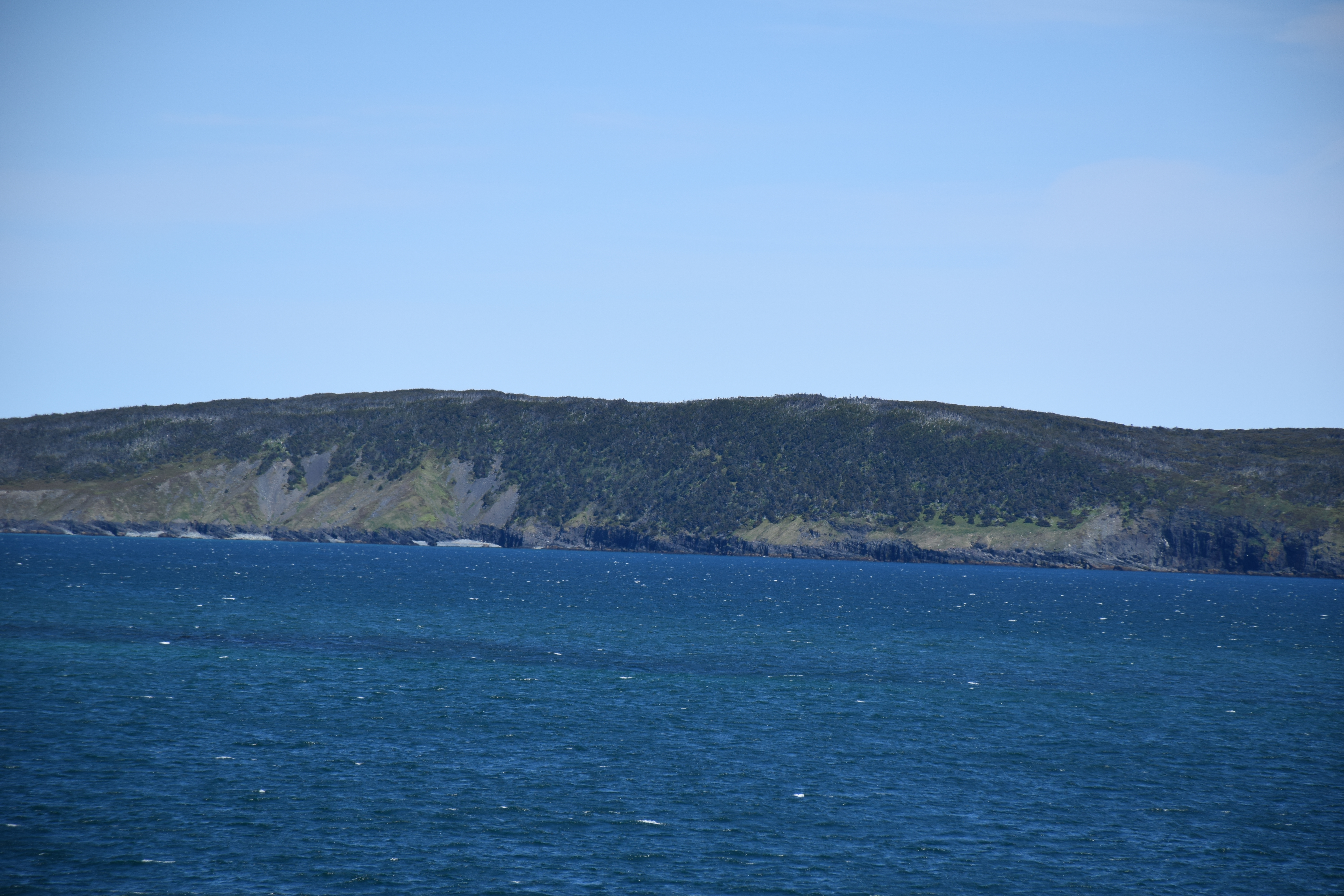
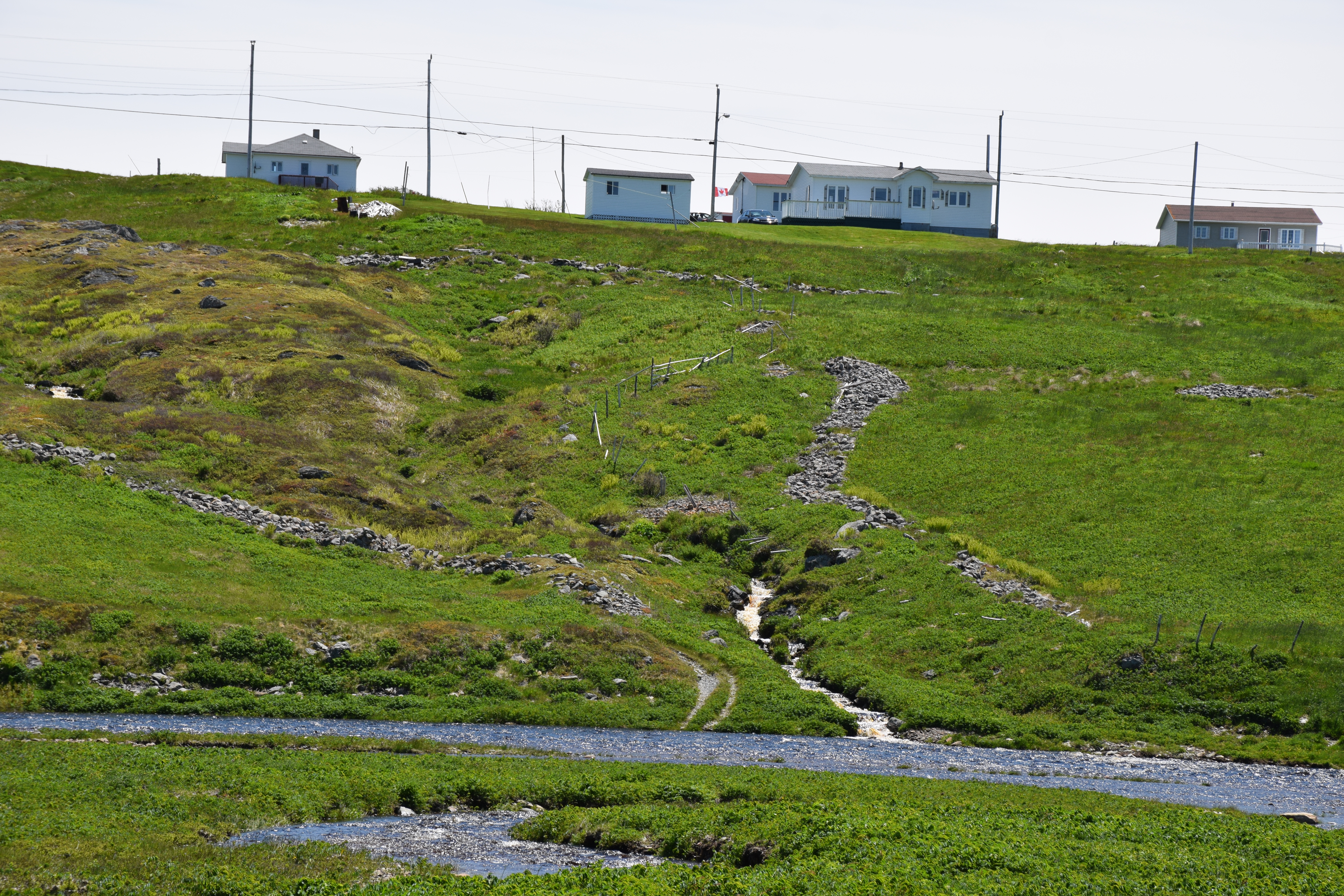
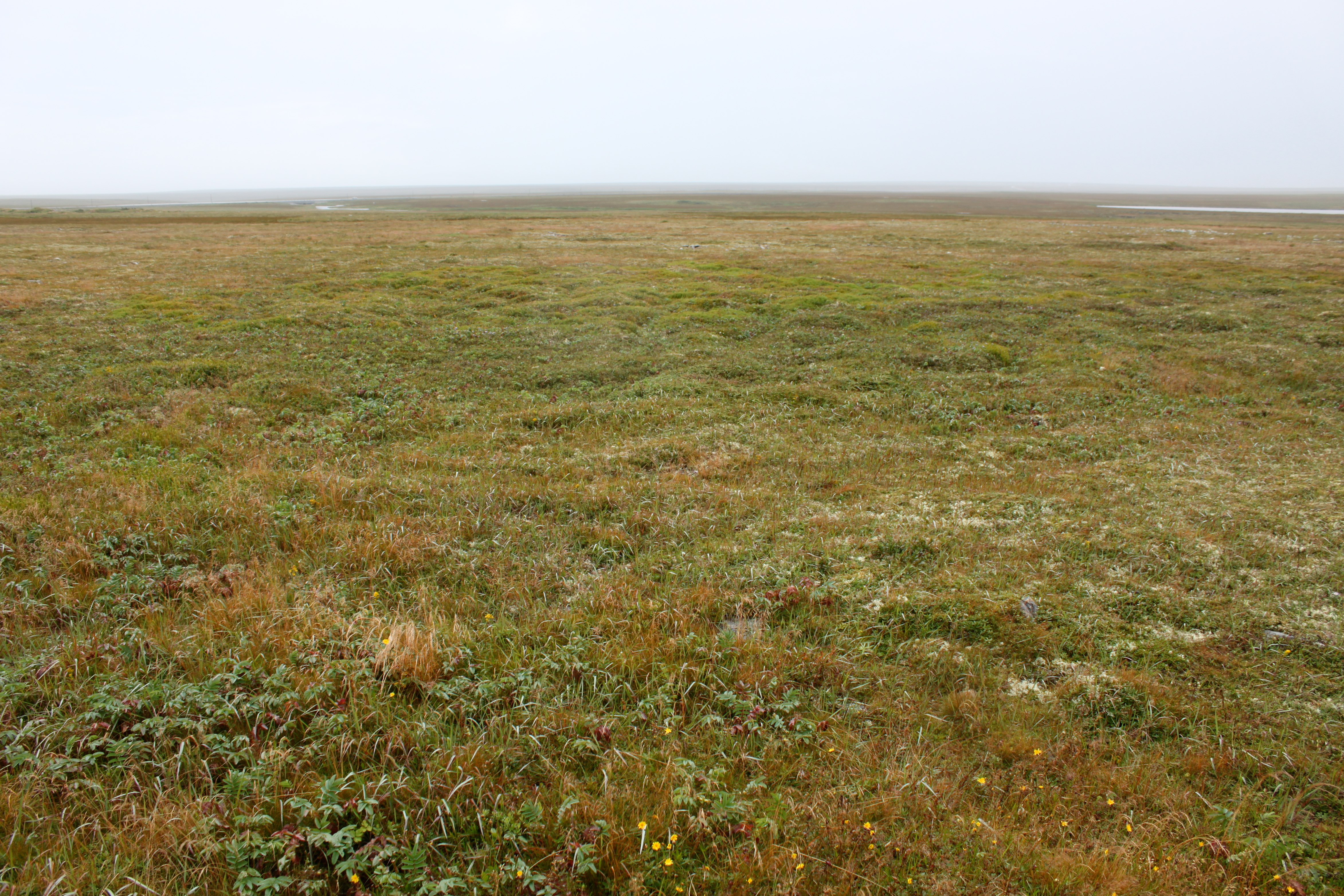
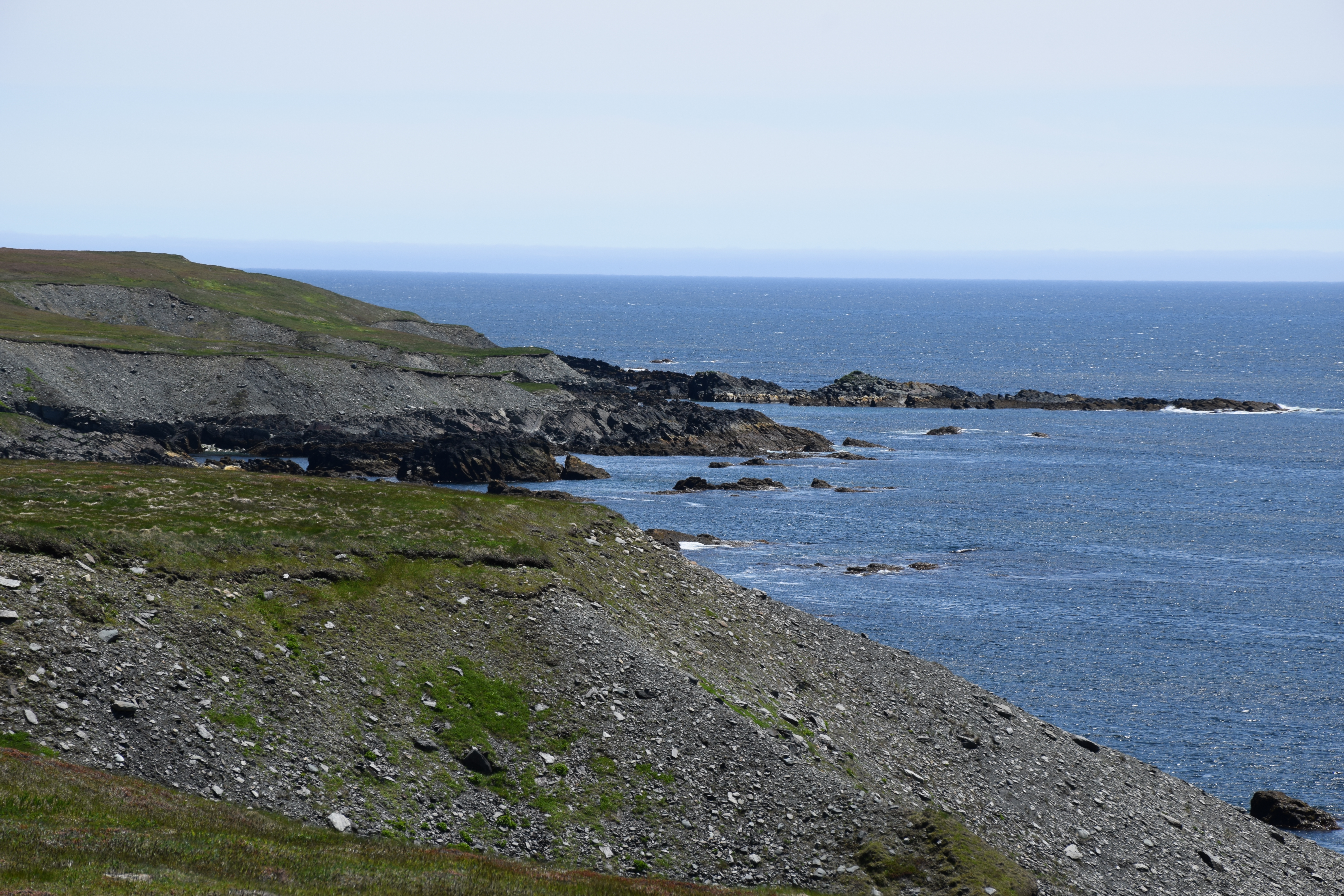
Related Photos:
The Waters at St. Vincent's

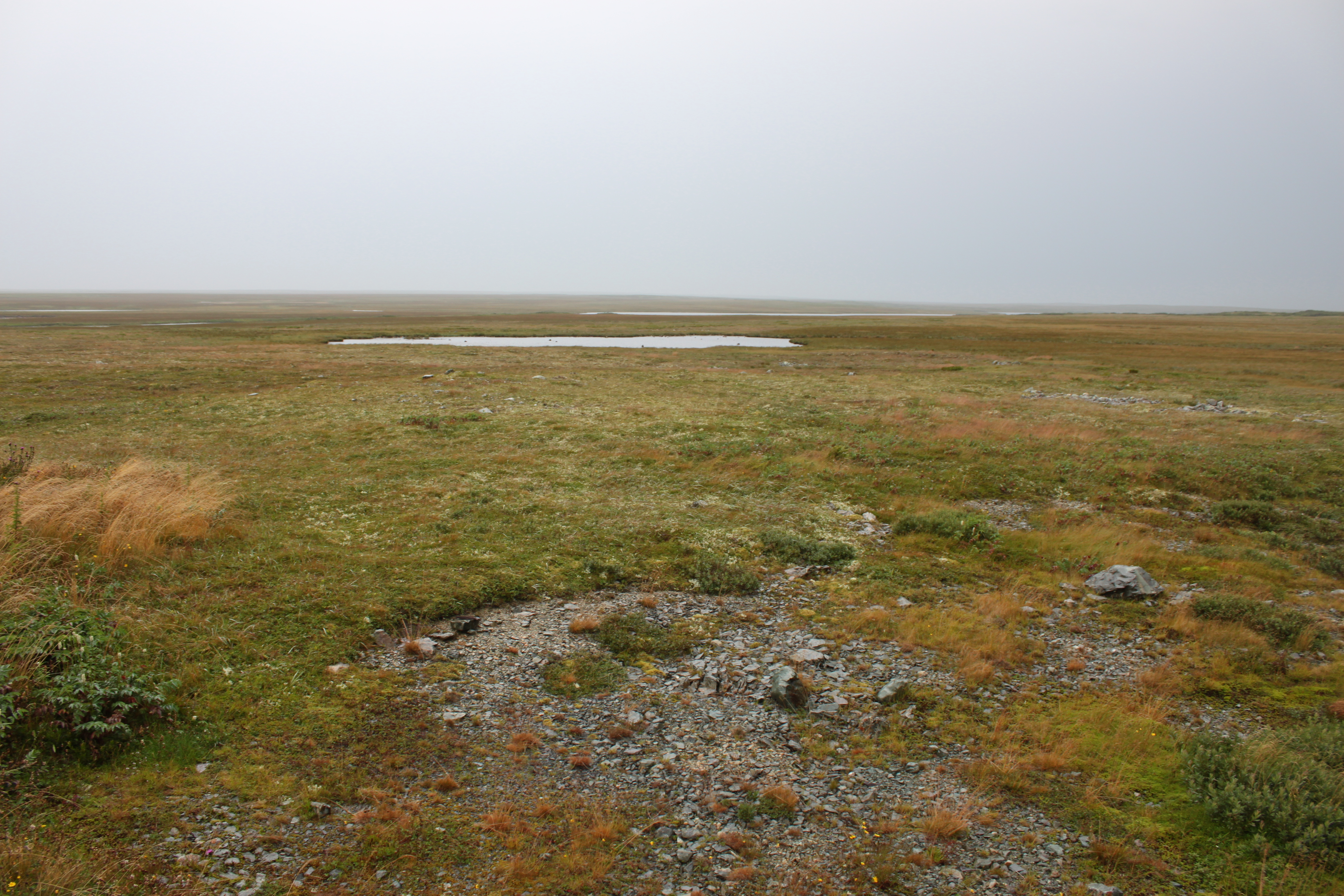
NLL 25400 The Barrens
Powles Head Lightstation
20100818-019

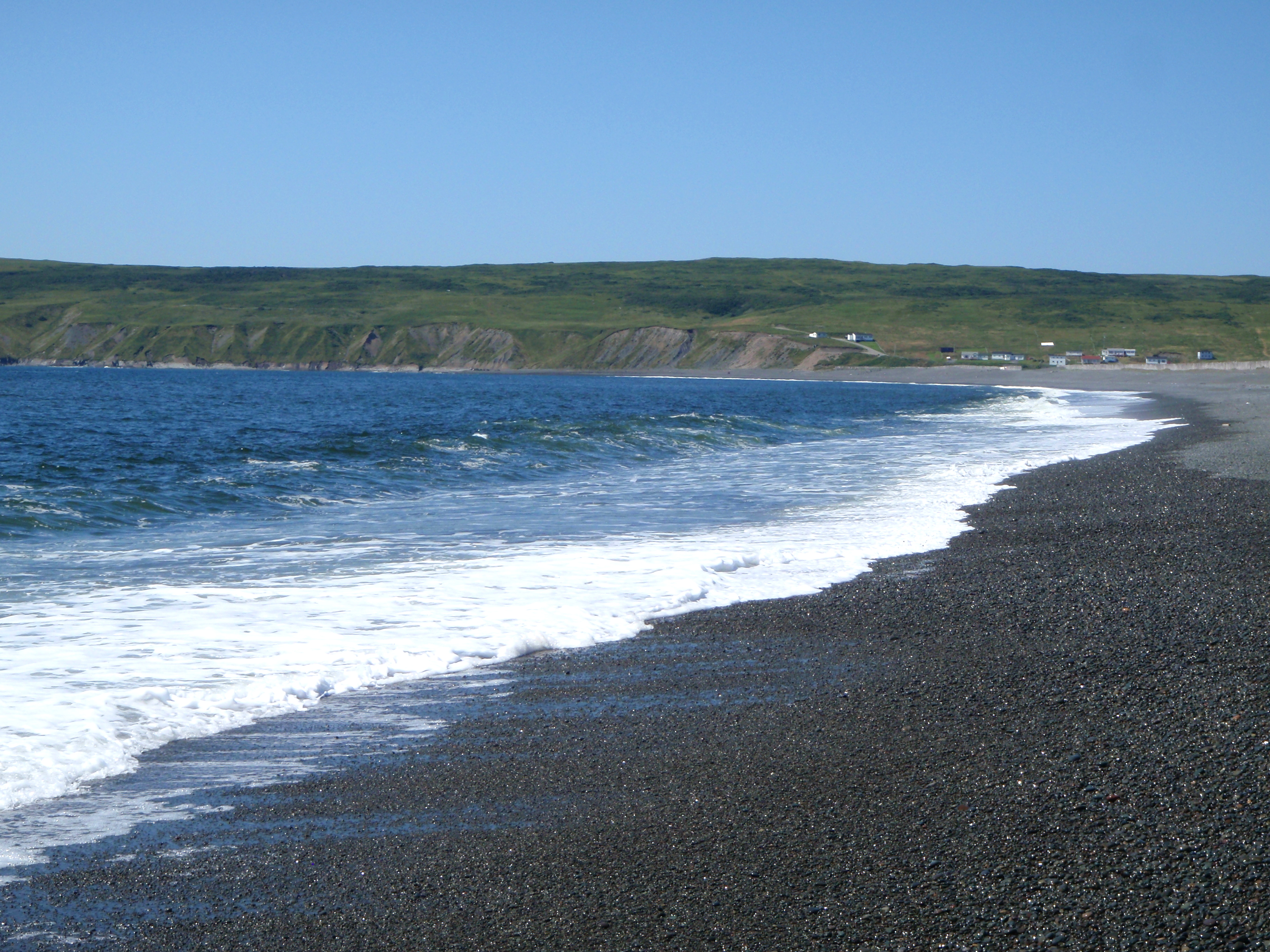
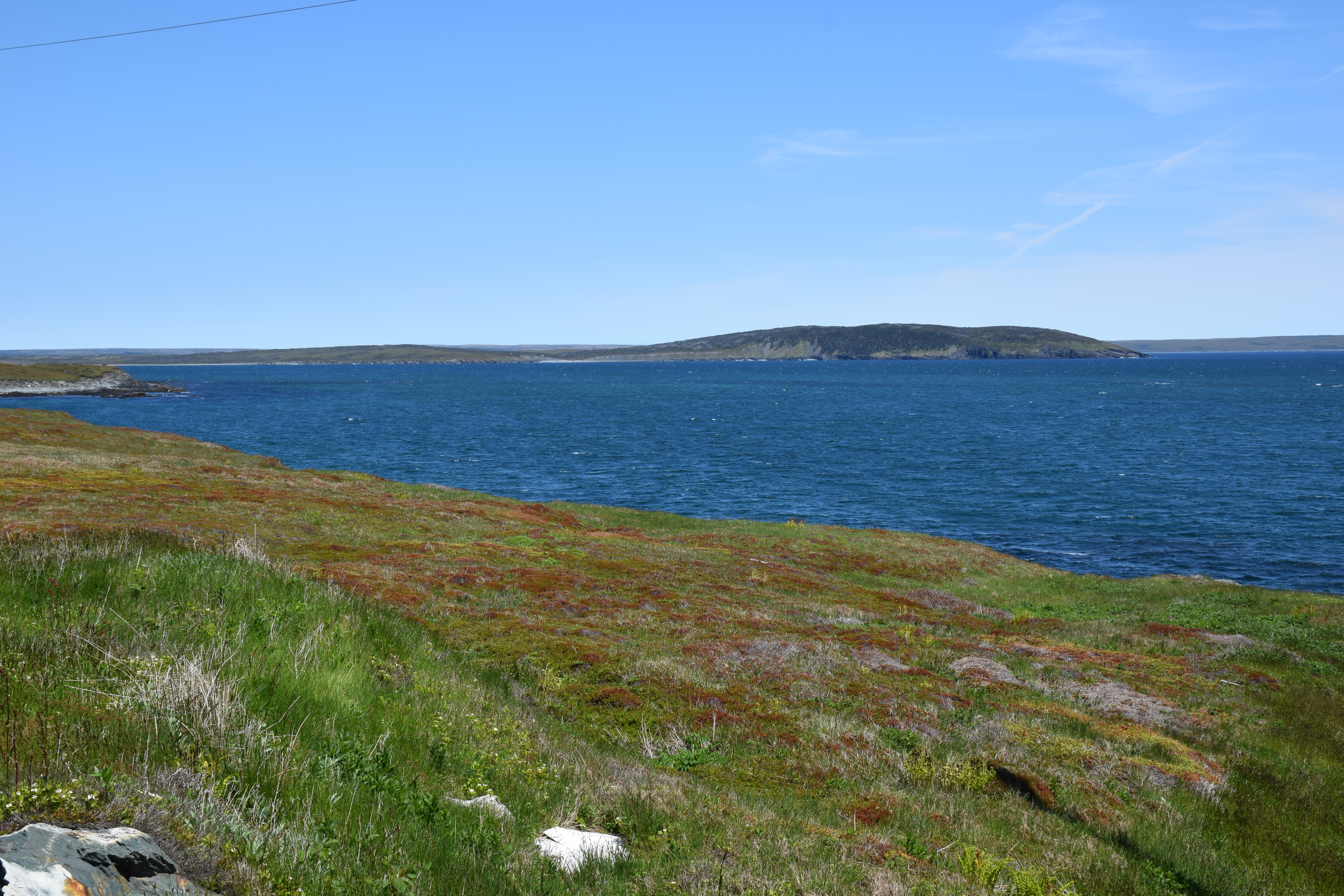
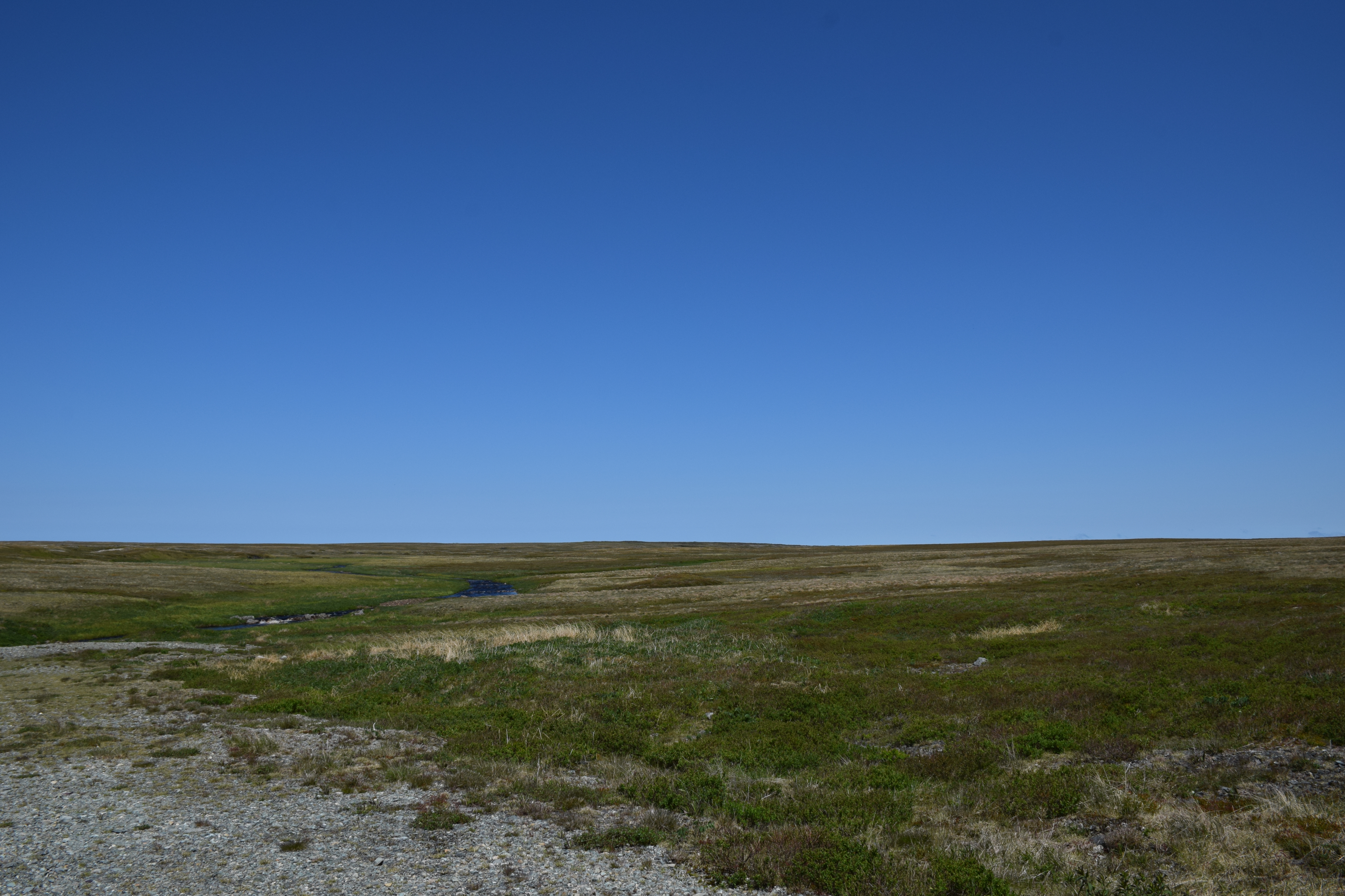
St Shotts Newfoundland
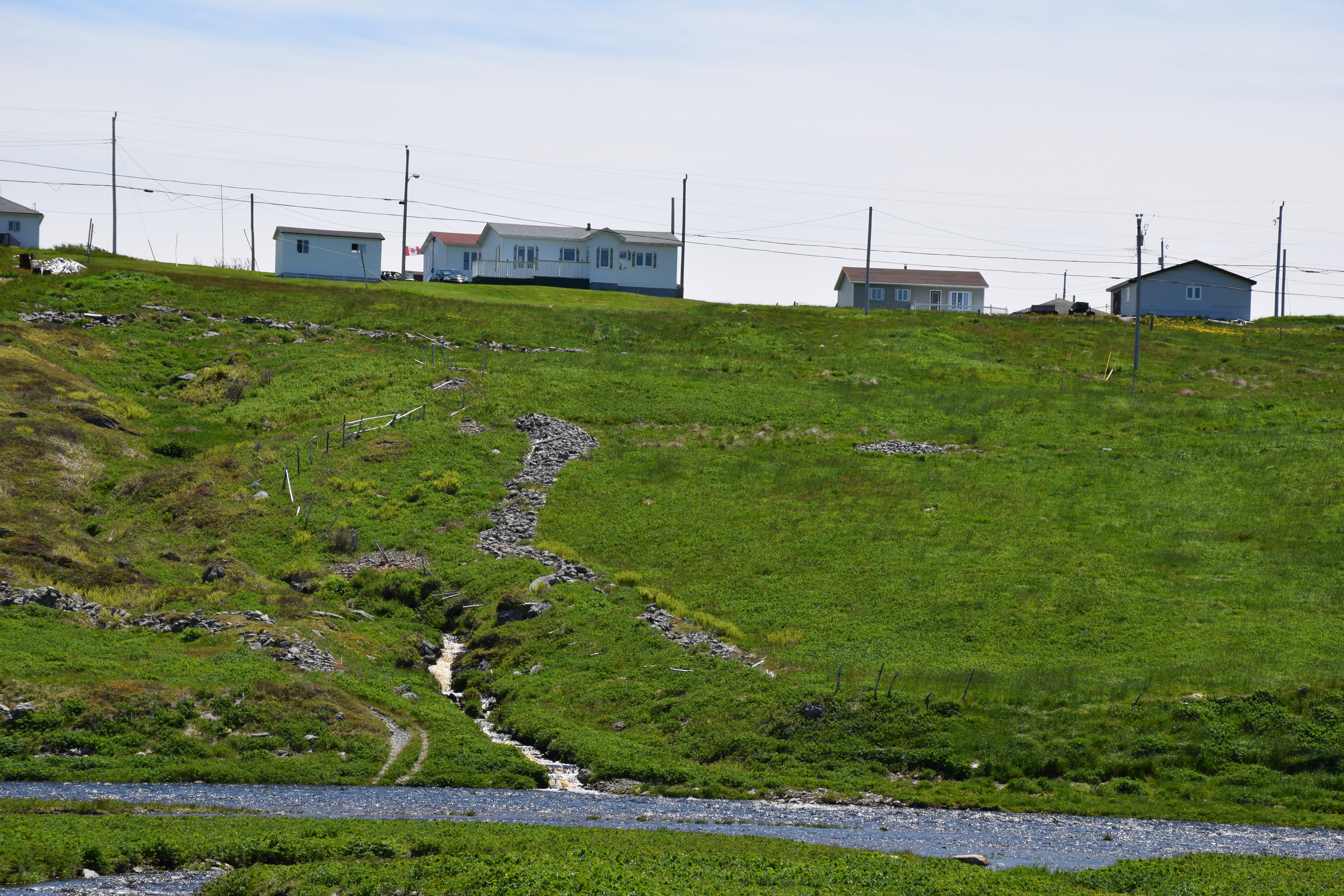
St Shotts Newfoundland
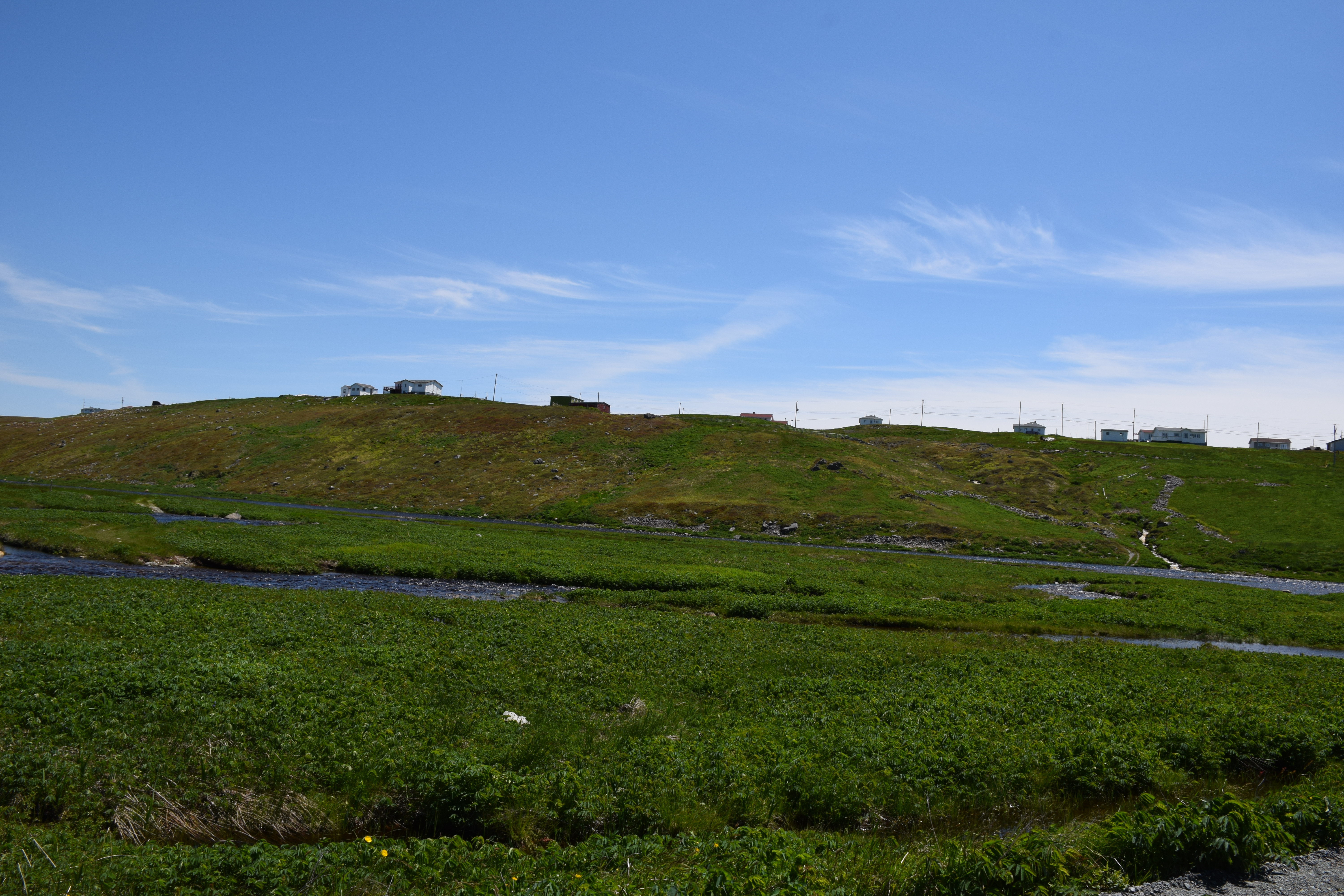
St Shotts Newfoundland

St Shotts Newfoundland
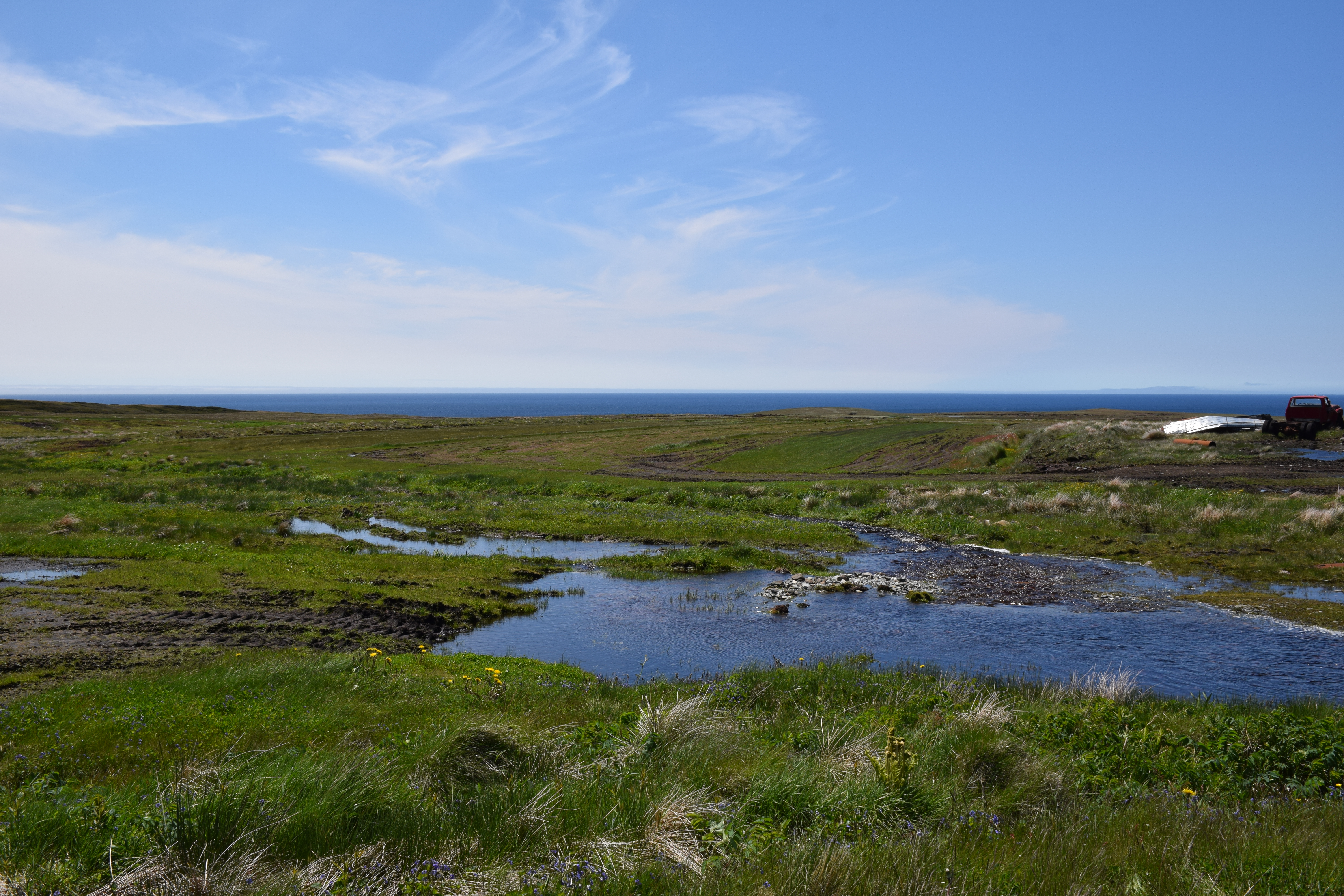
St Shotts Newfoundland

St Shotts Newfoundland
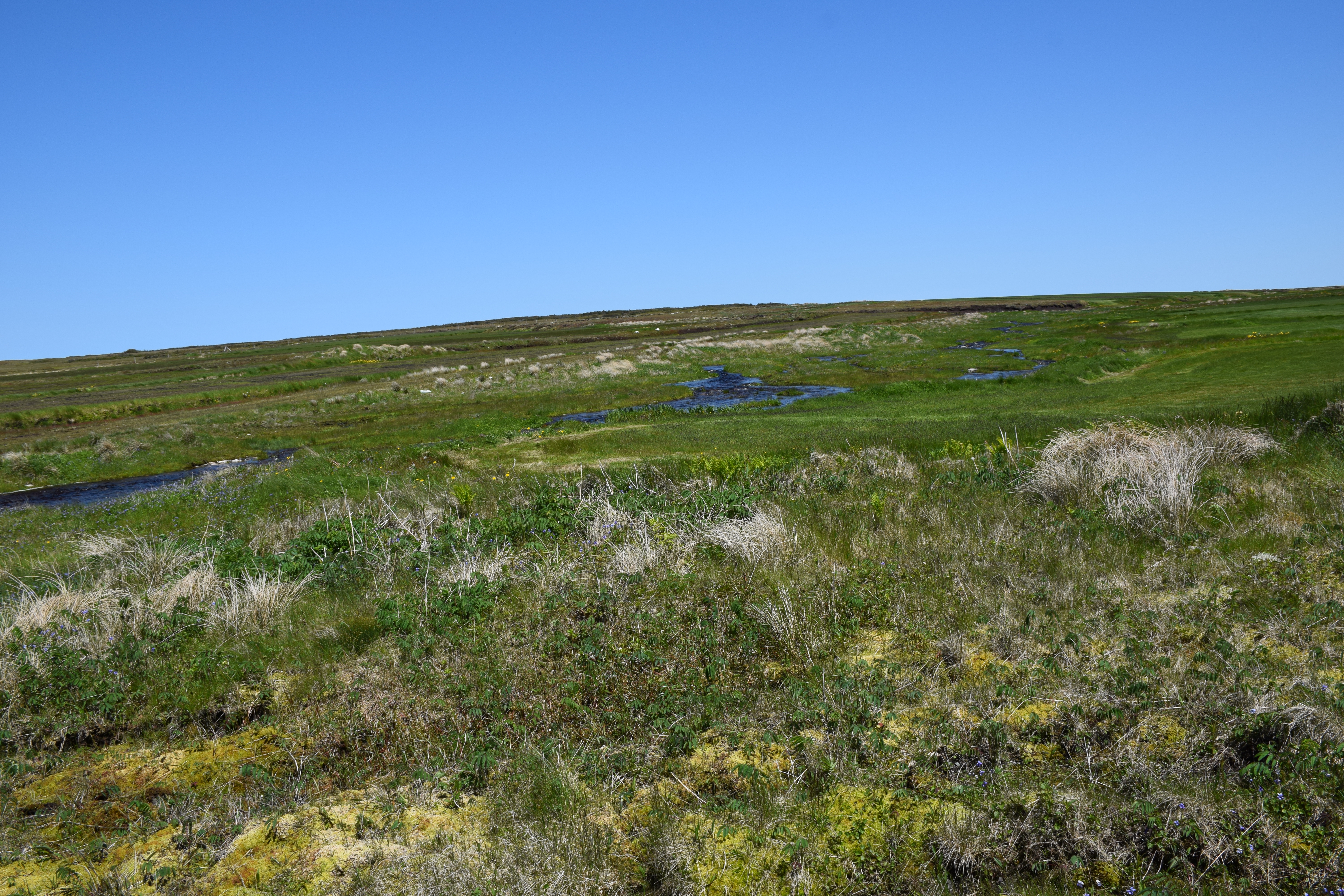
St Shotts Newfoundland
Sams River Newfoundland
Powles Head Lightstation
St Shotts Newfoundland
20100818-018
St Shotts Newfoundland

Cape Pine Lighthouse, Newfoundland (Canada)

St Shotts Newfoundland

Sams River Newfoundland

2016-05-20 17.51.37

2016-05-20 17.51.39
Topographic Map of Saint Shott's, St. Shott's, NL, Canada
Find elevation by address:

Places in Saint Shott's, St. Shott's, NL, Canada:
Places near Saint Shott's, St. Shott's, NL, Canada:
Peter's River Road
Saint Vincent's-st. Stephen's-peter's River
Main Rd, Trepassey, NL A0A 4B0, Canada
Saint Mary's
Division No. 1
Admirals Beach
NL-94, Riverhead, NL A0A 3P0, Canada
Saint Joseph's
16 NL-94, Riverhead, NL A0A 3P0, Canada
Dunphys Pond
North Harbour
75 NL-90, Trepassey, NL A0A 4B0, Canada
NL-93, North Harbour, NL A0B 2V0, Canada
Division No. 1, Subd. C
7 NL-91, Mount Carmel, NL A0B 2M0, Canada
Colinet
Saint Bride's
NL-, Placentia, NL A0B 2Y0, Canada
Ship Cove
Division No. 1, Subd. X
Recent Searches:
- Elevation of Woodland Oak Pl, Thousand Oaks, CA, USA
- Elevation of Brownsdale Rd, Renfrew, PA, USA
- Elevation of Corcoran Ln, Suffolk, VA, USA
- Elevation of Mamala II, Sariaya, Quezon, Philippines
- Elevation of Sarangdanda, Nepal
- Elevation of 7 Waterfall Way, Tomball, TX, USA
- Elevation of SW 57th Ave, Portland, OR, USA
- Elevation of Crocker Dr, Vacaville, CA, USA
- Elevation of Pu Ngaol Community Meeting Hall, HWHM+3X7, Krong Saen Monourom, Cambodia
- Elevation of Royal Ontario Museum, Queens Park, Toronto, ON M5S 2C6, Canada