Elevation of Main Rd, Trepassey, NL A0A 4B0, Canada
Location: Canada > Newfoundland And Labrador > Division No. 1 > Saint Vincent's-st. Stephen's-peter's River >
Longitude: -53.613157
Latitude: 46.7688315
Elevation: 14m / 46feet
Barometric Pressure: 101KPa
Elevation Map:
Satellite Map:
Related Photos:

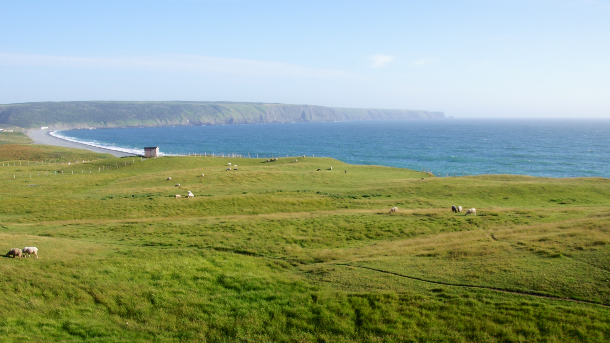
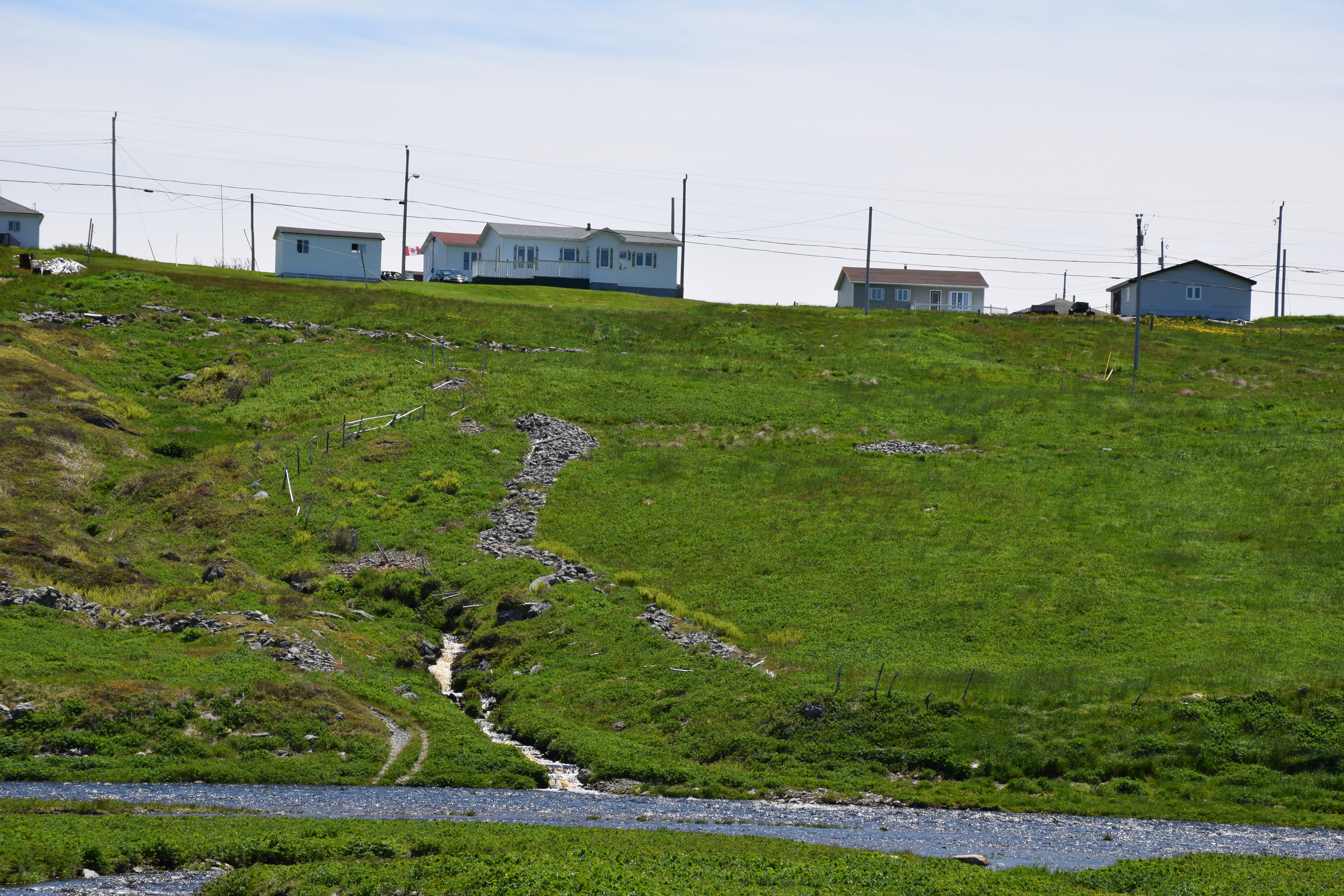
NLL 25400 The Barrens

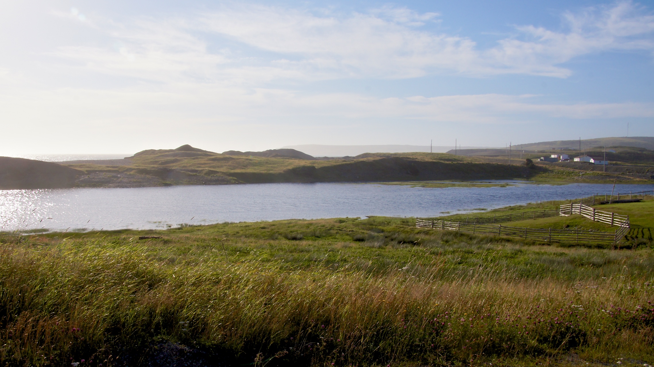
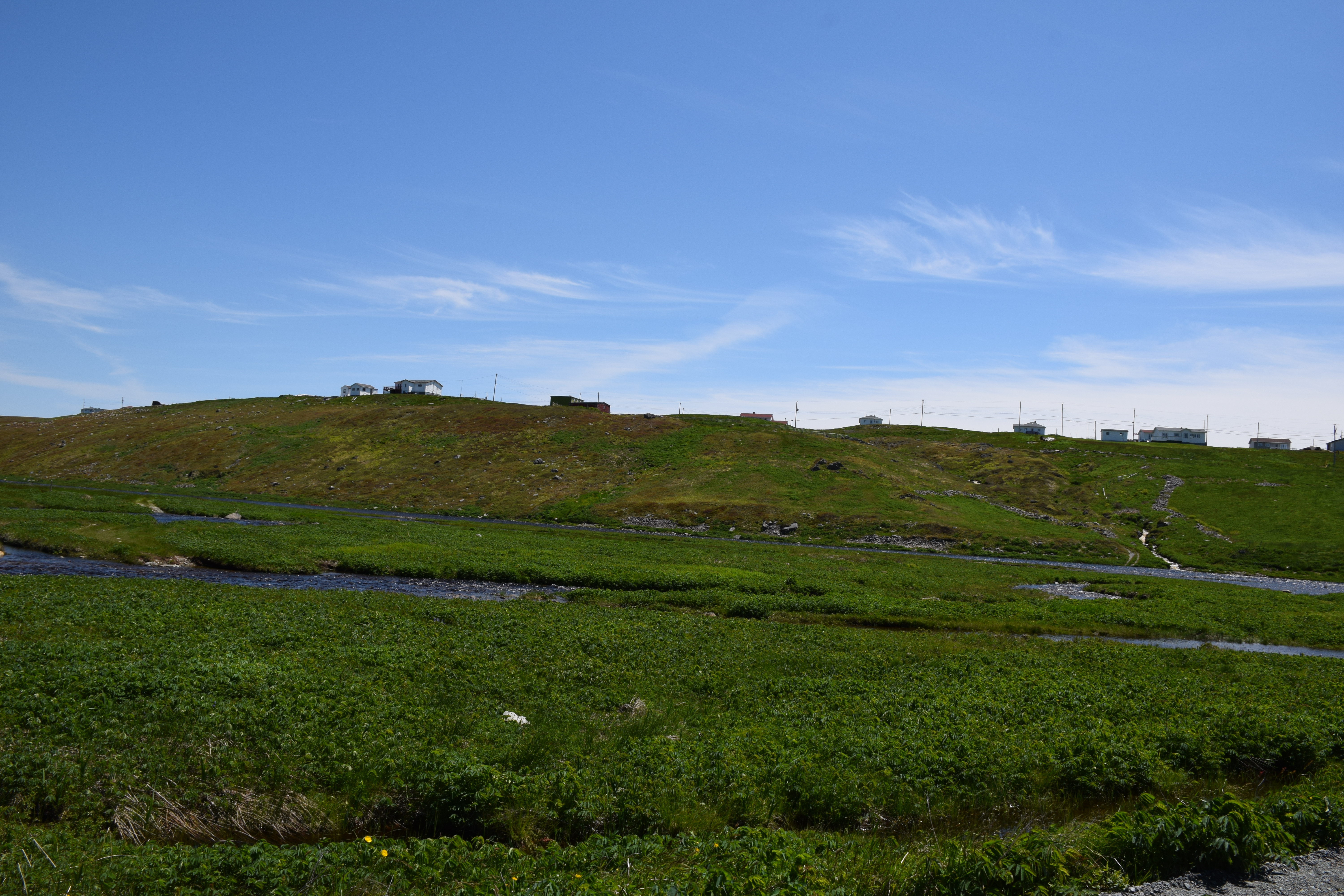
The Irish Loop
The Irish Loop
The Irish Loop
The Irish Loop
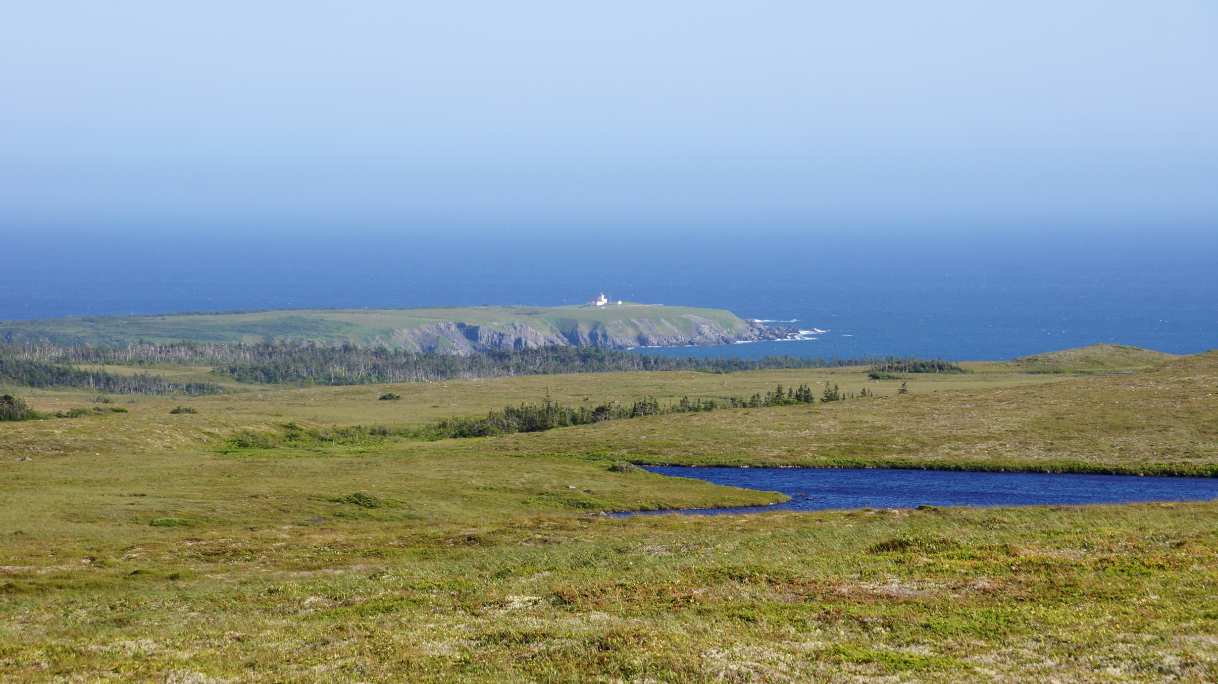
Trepassey Lighthouse from afar
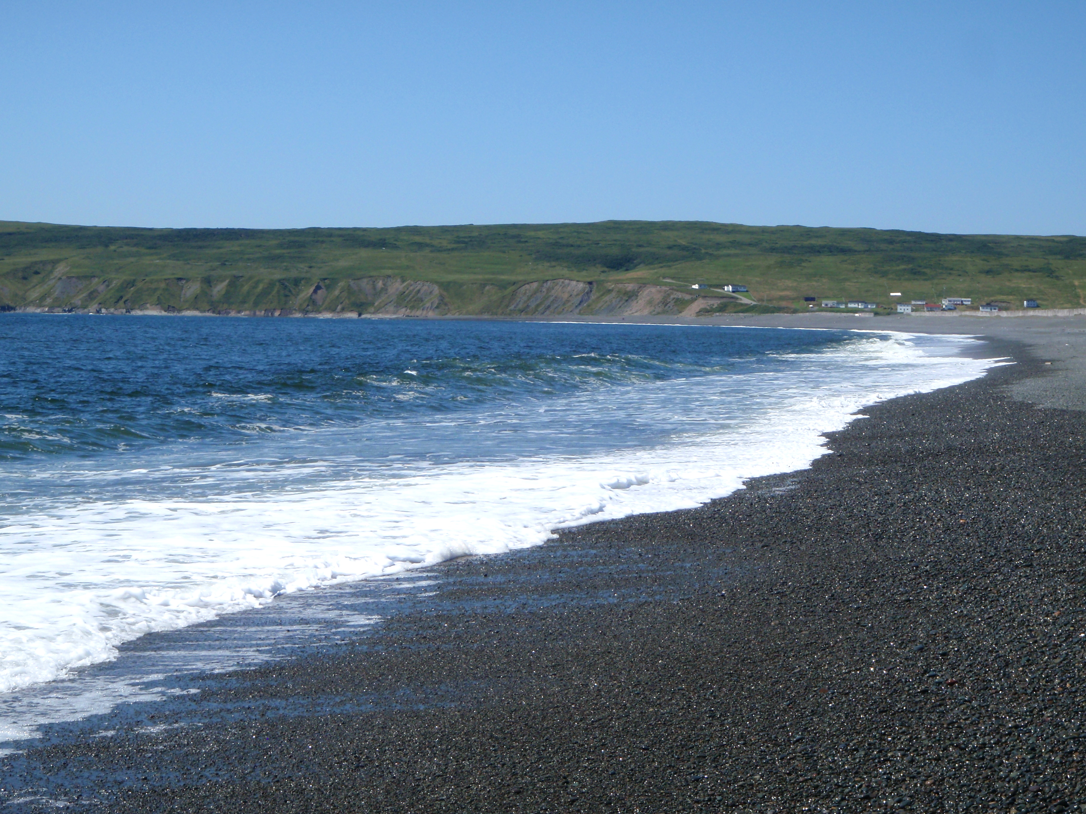
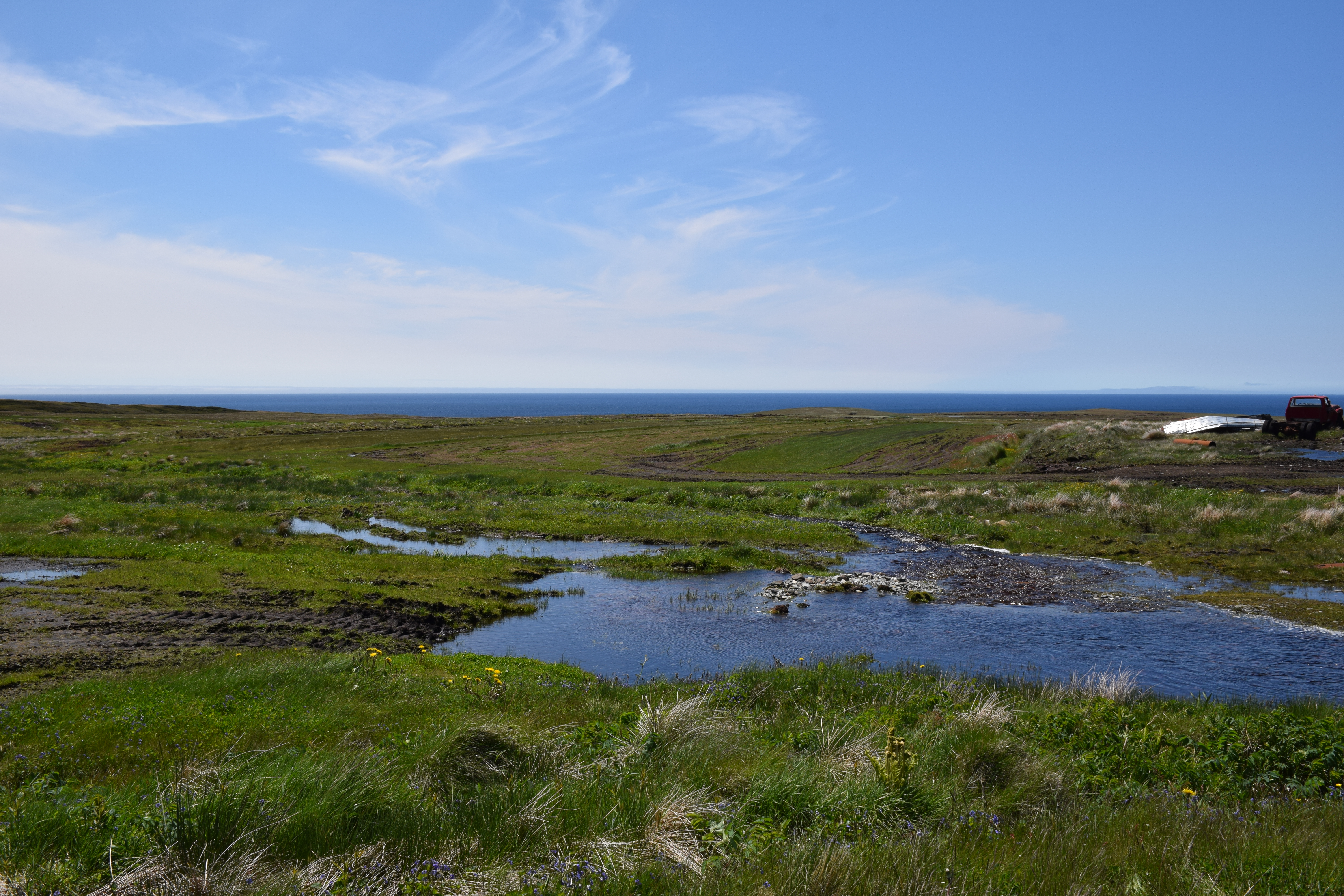
The Waters at St. Vincent's

St Vincents Newfoundland

St Shotts Newfoundland

St Vincents Newfoundland
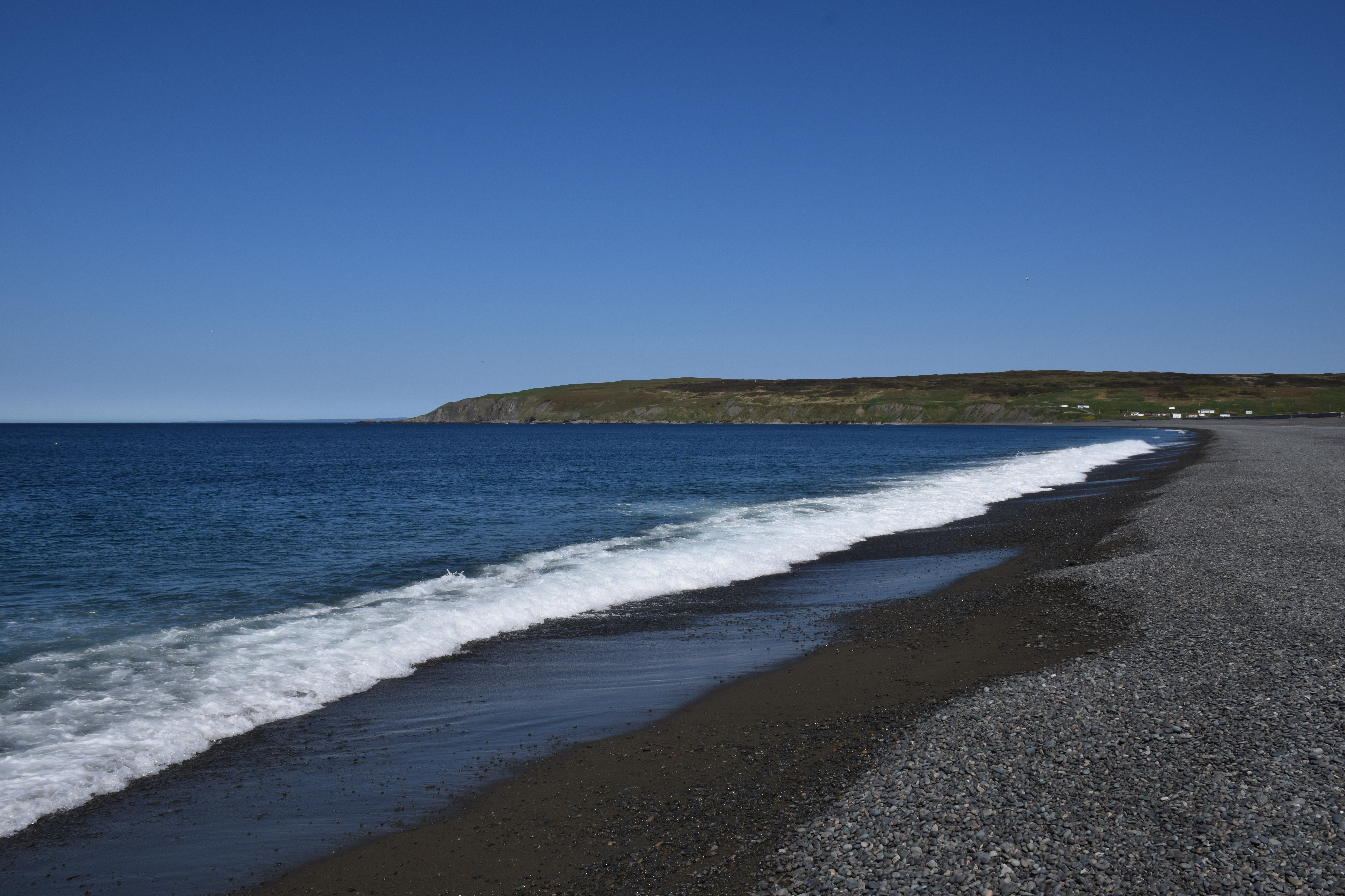
St Vincents Newfoundland
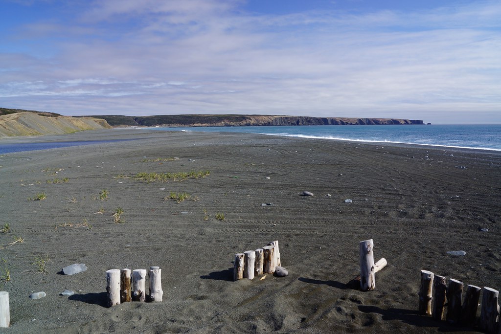
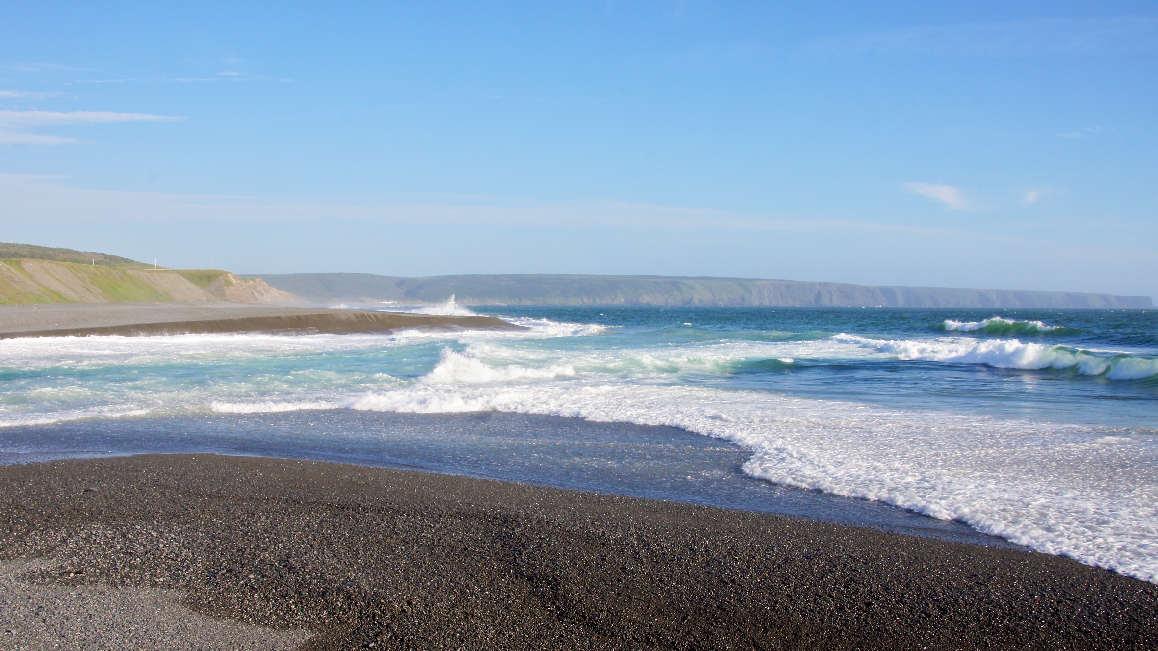
NLL 25700 Beach at Saint Vincent's
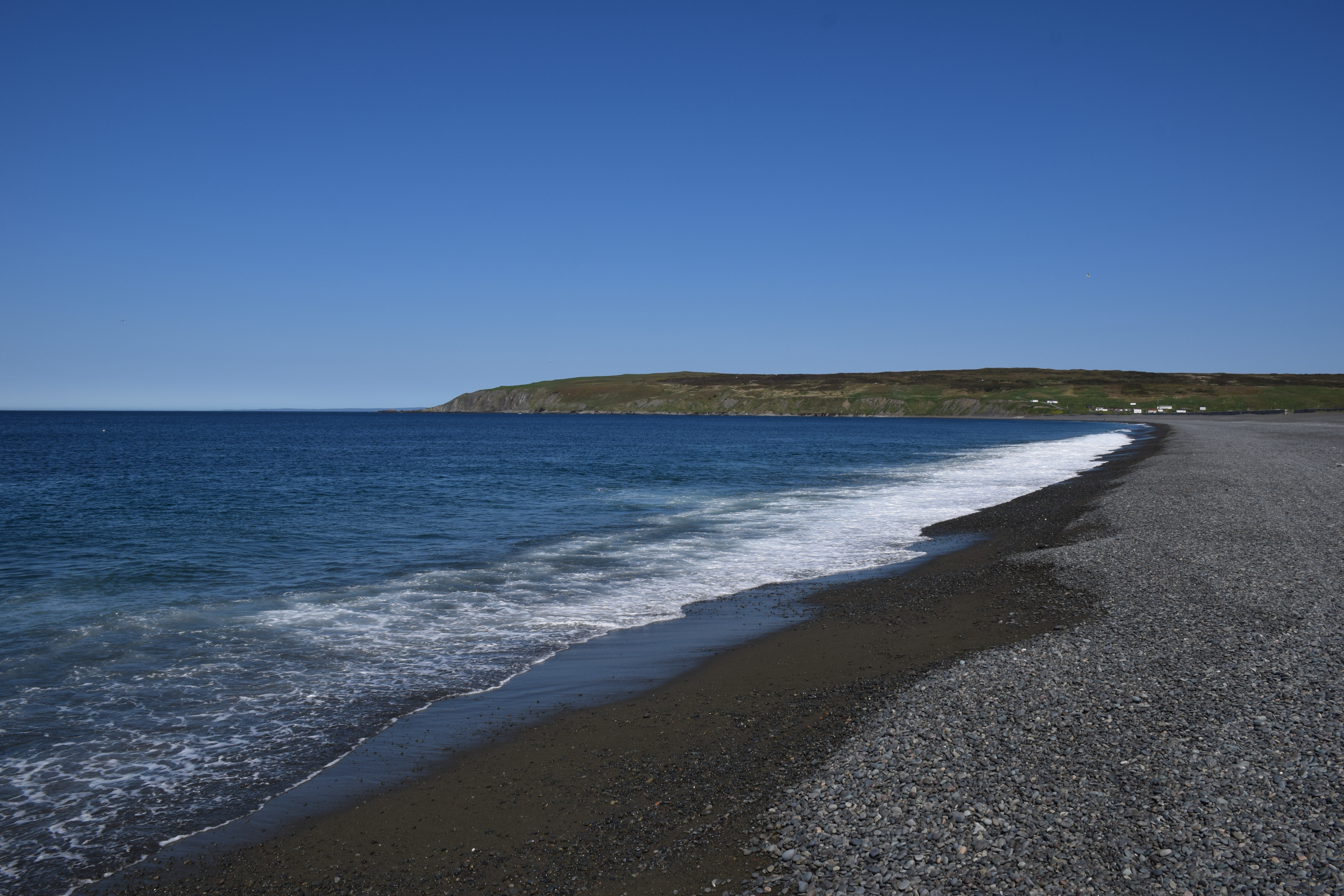
St Vincents Newfoundland
St Shotts Newfoundland

St Vincents Newfoundland

Sams River Newfoundland
St Shotts Newfoundland

St Vincents Newfoundland

St Shotts Newfoundland
St Shotts Newfoundland

St Shotts Newfoundland
Topographic Map of Main Rd, Trepassey, NL A0A 4B0, Canada
Find elevation by address:

Places near Main Rd, Trepassey, NL A0A 4B0, Canada:
Saint Vincent's-st. Stephen's-peter's River
Peter's River Road
Saint Shott's
Saint Mary's
Division No. 1
Admirals Beach
NL-94, Riverhead, NL A0A 3P0, Canada
Saint Joseph's
16 NL-94, Riverhead, NL A0A 3P0, Canada
Dunphys Pond
North Harbour
NL-93, North Harbour, NL A0B 2V0, Canada
75 NL-90, Trepassey, NL A0A 4B0, Canada
Division No. 1, Subd. C
7 NL-91, Mount Carmel, NL A0B 2M0, Canada
Colinet
Division No. 1, Subd. X
Ship Cove
Dunville
Saint Bride's
Recent Searches:
- Elevation of Corso Fratelli Cairoli, 35, Macerata MC, Italy
- Elevation of Tallevast Rd, Sarasota, FL, USA
- Elevation of 4th St E, Sonoma, CA, USA
- Elevation of Black Hollow Rd, Pennsdale, PA, USA
- Elevation of Oakland Ave, Williamsport, PA, USA
- Elevation of Pedrógão Grande, Portugal
- Elevation of Klee Dr, Martinsburg, WV, USA
- Elevation of Via Roma, Pieranica CR, Italy
- Elevation of Tavkvetili Mountain, Georgia
- Elevation of Hartfords Bluff Cir, Mt Pleasant, SC, USA